Peak 6: Mt. Manabu
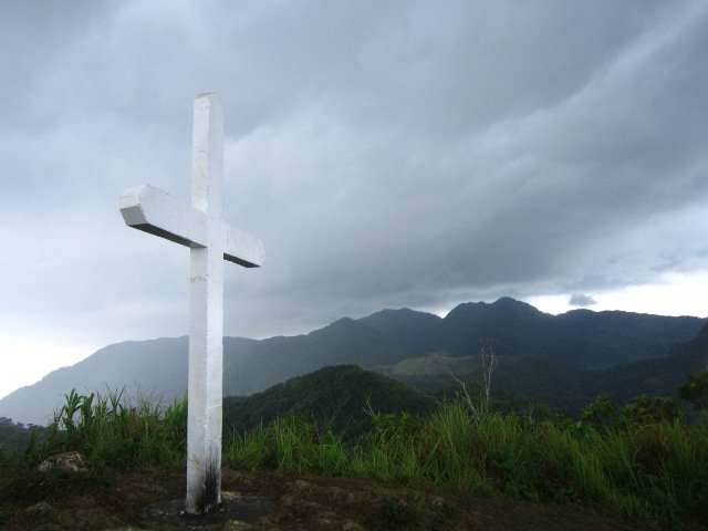
Mt. Manabu rises to an elevation of 760 meters above sea level. It's one of the many minor climbs in Batangas particularly located at Sto. Tomas with a 2/9 difficulty. The word "Manabu" is an abbreviation for "Mataas na Bundok" meaning a tall mountain. Mt. Manabu belongs to the Malarayat Range and is a famous Holy Week destination.
The Challenge
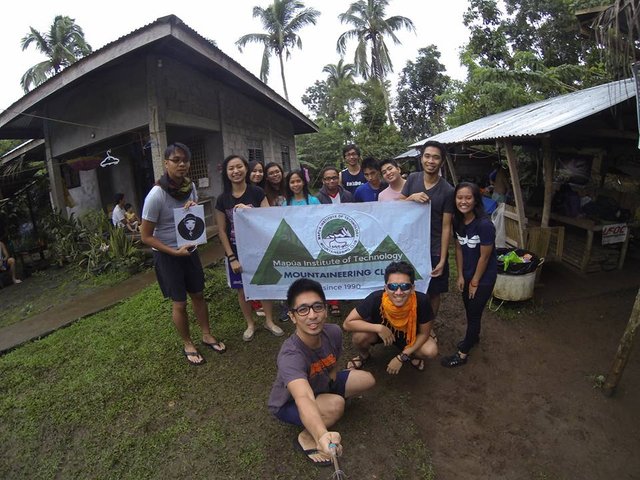
I was supposed to be with the first batch on Day 3 of the Introductory Climb but I woke up late and went to Sto. Tomas with the last batch. I was really sorry and ashamed of my circumstance. I was actually a negative in that climb.
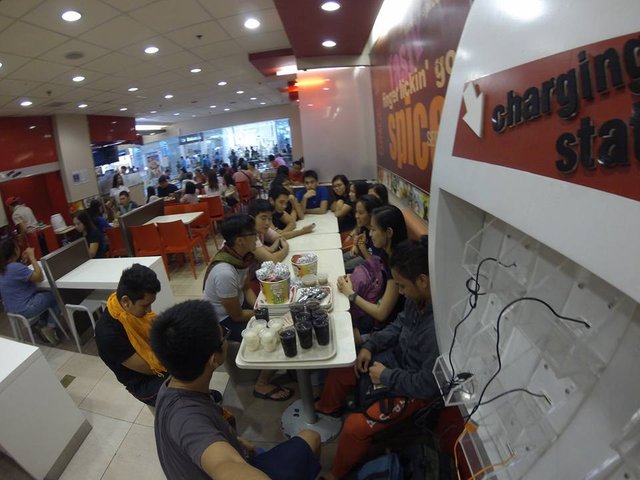
We were supposed to do a challenge, a reenactment or a video for a group I was supposed to handle but I was late so I failed my team. They joined Ken's team, thankfully. I caught up with them when they're already at the Station 5. We took the reverse trail started from 1-4 and jumped the 5th station. We proceeded to station 8 back to 7, 6 and 5.
The Trail
Aside from the fact that Mt. Manabu is near Manila, it's perfect for beginners that's why MIT-MC chose this mountain for the Intro Climb of the applicants. Hard core mountaineers categorize this mountain as one of the most-like fun climbs.
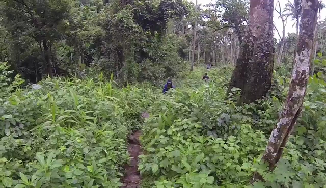
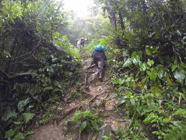
The trail is partly looped with a total distance of 4,738.2 meters. It is covered with tall trees and plants. The mountain is highly vegetated. The trail also has a few river crossing and passes through a crop field. Approaching the summit is a grassy field, a sudden thick vegetation and finally the park-like peak. Roots of huge trees also saved us from continuous sliding.
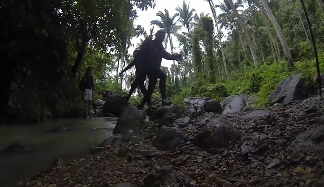
The trail is not all assault and is really very easy to track. A guide is recommended even if the trail is marked with a lot of trail signs for safety purposes.
The Stations
There are 8 stations found in Mt. Manabu wherein stations 4, 5, 6, 7 and 8 are looped. Because of its shape that looks like a rosary, the whole route is labeled as the "Rosary Trail".
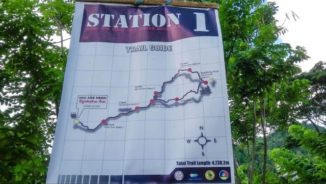
Here are the stations:
Station 1: Jump Off/ Registration Area
Station 2: Champa
Station 3: Creek
Station 4: Jackfruit Tree/ Trail Intersection
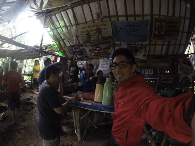
Station 5: Dampa/ Tata Tino's Coffee Alamid
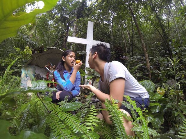
Station 6: Malaking Krus(Big Cross)
Station 7: Forest
Station 8: Grotto
The Peak
The summit is located at the 6th station marked by a huge white cross. Grass and flowering plants covers the peak. Mt. Maculot, Mt. Makiling, Mt. Malipunyo, and Susong Dalaga can be viewed from here.
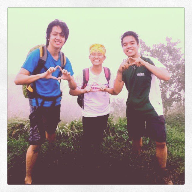
In our case, there is no clearing. We only had fog around the peak.
The Tempest
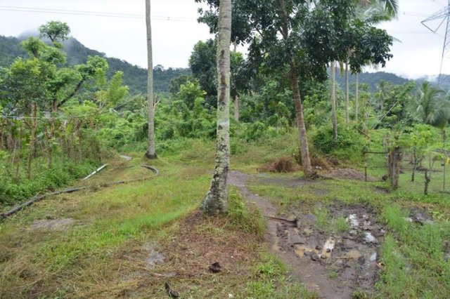
There was a typhoon in the Philippines when I climbed Mt. Manabu. Typhoon Ineng brought a lot of rain and strong wind in Batangas area even if it's almost out of the country.
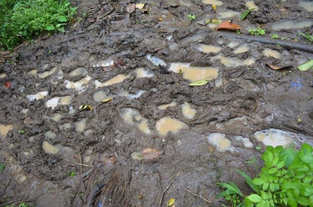
The trail was really slippery and muddy. The wind was a little bit strong and we didn't mind the rain. I didn't mind the raindrops. There was no clearing at the summit that day and we were just thankful that we safely descended the mountain.
Your Cup of Inspiration
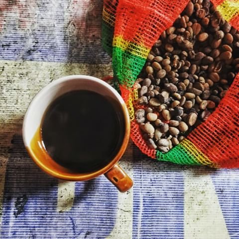
Coffee Alamid or the Philippine Civet Coffee similar to Java, Indonesia's Kopi Luwak (the most expensive brew made from cat excrement) is sold at Station 5. Civets live in the mountain and Tata Tino offers the coffee to mountaineers for free unlimitedly. You could buy the the smallest pack of Coffee Alamid for $ 2 only. It's very cheap compared to its real price in the market.
Peak 5: Mt. Daguldol
Peak 4: Mt. Tapulao
Peak 3: Mt. Maculot
Peak 2: Pico De Loro
Peak 1: Mt. Pulag
Peak 0: Mt. Taal
Little Climber