Peak 4: Mt. Tapulao
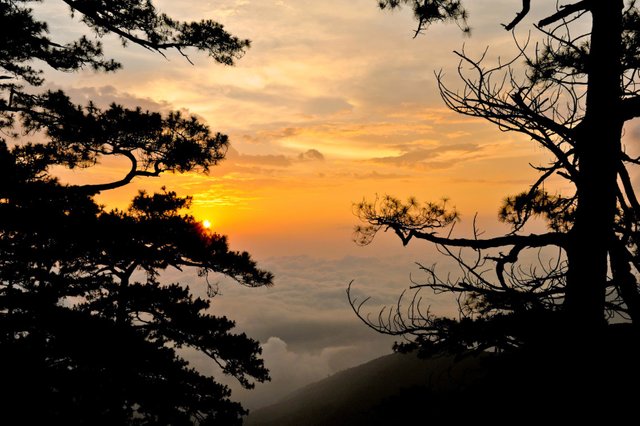
Mt. Tapulao is the highest mountain in Zambales Mountain Range in the Philippines towering to an elevation of 2, 037 meters above sea level. It is particularly situated at the municipality of Palauig. It is a major climb with a difficulty of 5/9 and has an eight to eleven-hour trek to the campsite.
The word tapulao means pine tree in the local dialect of Zambal which is derived from the prolific amount of Sumatran Pine trees in the area which is akin to the coniferous tree forests of the Cordillera. The higher areas of the mountain is cold as well especially during nighttime. Aside from the aforementioned characteristics, the mountain is also known for its "Sea of Clouds", if the hikers are lucky enough to witness it. Hiking Tapulao is more affordable than climbing Mt. Pulag. Thus, the mountain lives up to its reputation as the "Poor Man's Pulag".
The Trail
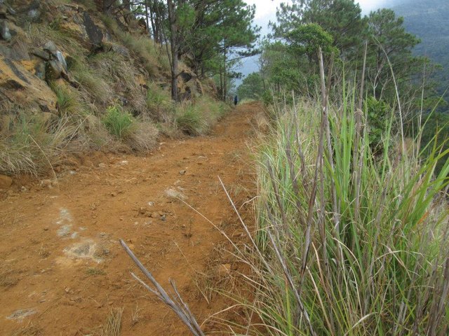
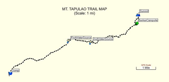
The trail starts from the jump-off at Sitio Dampay-Salaza, Palauig at 100+ meters above sea level. Thus, a boiling and exhausting trail is expected at lower altitude. There are two water sources along the trail but are too distant so at least 2 to 3 liters of water is recommended for each person. If the hiker is trained of water discipline, he has the prerogative to bring the
amount of water he deems fit for him. (This is usually the case for trail runners: less load, faster the pace.)There are more boulders on the way, too or non at all than tree shades especially in the lowlands; ergo, a full sun-protector gear is advised.
The trail runs through scrubland prevailed by cogon grasses to tall forest trees in long and winding terrain. There are gradual assaults as well as gentle slopes. The mountain was previously a large-scale Chromite mining operation site; hence, the trail is wide enough for vehicles to pass through. It was even repaired and widened when a trail marathon was conducted in 2015 as part of the Zambales Dinamulag Mango Festival.
The Campsite
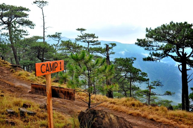
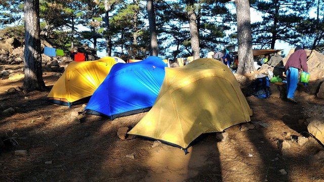
There are several camping grounds in Mt. Tapulao namely, the Camps 1 and 2 at kilometer 16, the 'Secret Campsite' that leads to the forest line and the area near the 'Bunkhouse' which is the third water source in Mt. Tapulao. There is also the previous campsite known as 'Generator Campsite' but is no longer used.
The Summit
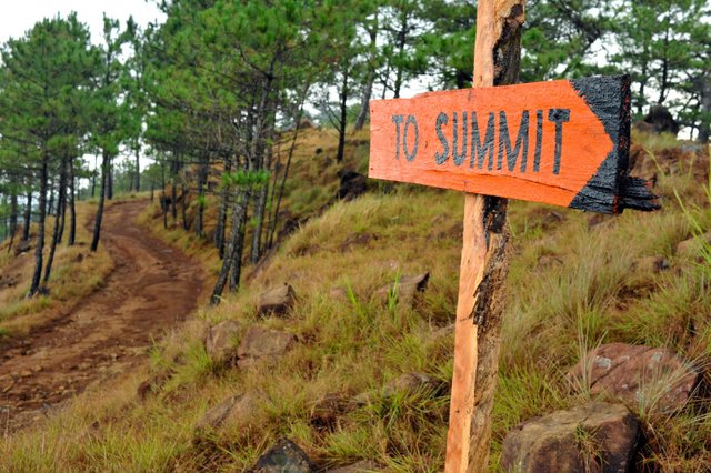
The peak is highlighted by the infamous 'World Tree' and the kilometer 18 marker. To reach the summit, it will take half to quarter an hour from the campsite. With the campsite elevation at 1800+ meters above sea level, the mossy forest is already observed at the foot of the trail to the peak.
The summit can also be reached from Mayantoc, Tarlac as part of the Mt. Tapulao Traverse, the most grueling climb in Central Luzon.
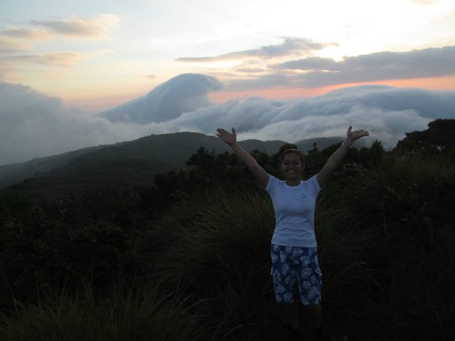
Plata y Siete
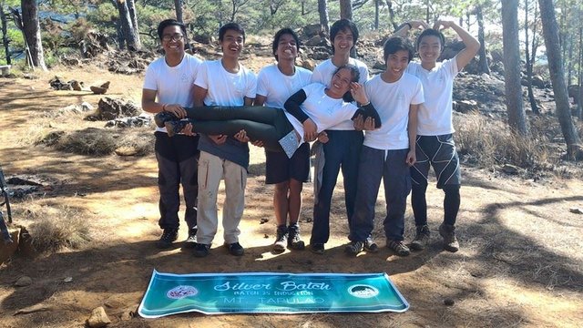
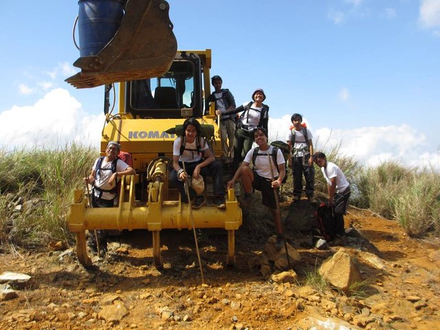
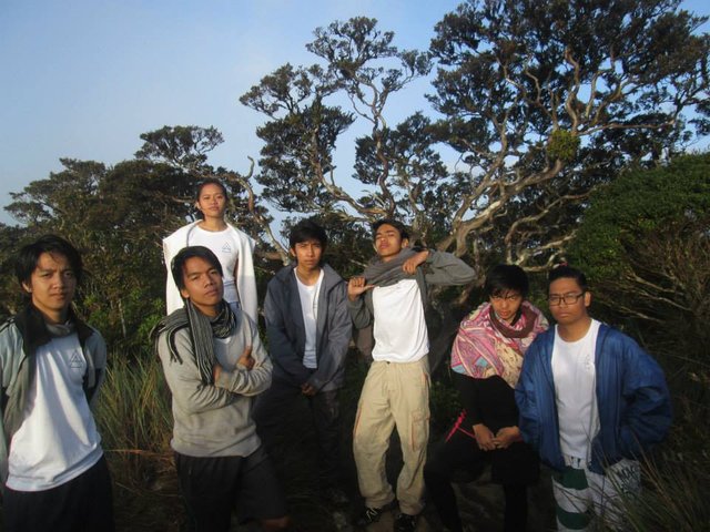
My climb in Mt. Tapulao is an induction climb for the 25th batch of Mapúa Institute of Technology Mountaineering Club applicants. We were originally ten applicants; however for personal and unavoidable reasons, the three of them didn't make it.
We're known as the "Batch 25" but we call ourselves the "Seven Dwarfs", the "Silver Seven", the "Silver Batch" and our favorite, Plata y Siete.
Peak 3: Mt. Maculot
Peak 2: Pico De Loro
Peak 1: Mt. Pulag
Peak 0: Mt. Taal
Little Climber
Very nice! Would love to trek this mountain some day 😊
See you in the summit sir! 😊
😎😊... definitely my friend...
great pics! :)
Thank you @paolobeneforti!
Great photos. Looks like a great place!
Following you now :)
Thank you @sauravrungta! Will be posting more, soon!