Peak 2: Pico De Loro
Pico De Loro is one of the perfect mountains for newbie climbers. It is located in between two provinces which are Batangas and Cavite. This mountain is a minor climb with a difficulty of 3/9. It rises to an altitude of 664 meters above sea level.
This enchanting mountain is actually a part of the Mt. Palay-Palay range or the Mataas na Gulod Protected Landscape. It was established as the Mt. Palay-Palay National Park , a bird sanctuary and nature reserve on October 26, 1976. It was designated as a protected landscape in 2007 under National Integrated Protected Areas System (NIPAS) by the former President Gloria Arroyo.
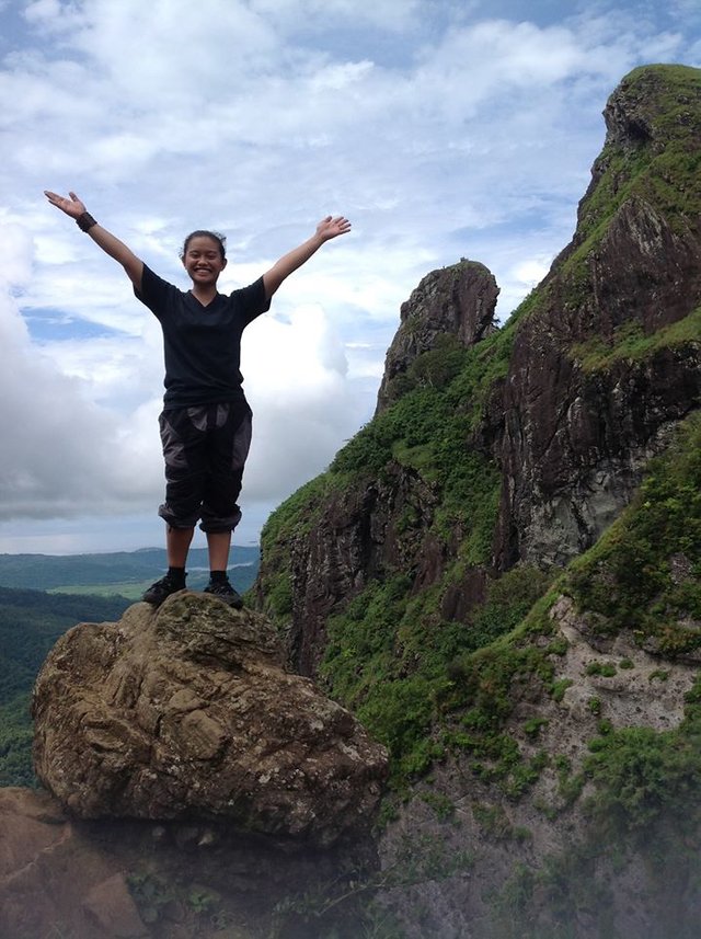
Pico De Loro directly translates to "Parrot's Beak". The name was first heard from the Spaniards aboard the galleons in Manila Bay. They noticed the peak settled in forested mountains resembling the parrot's beak. It is also known as the "Monolith".
The Trails
There are two trails in Pico De Loro: the old and the new. The old trail was closed however, the new trail meets the middle of the old trail to the campsite.
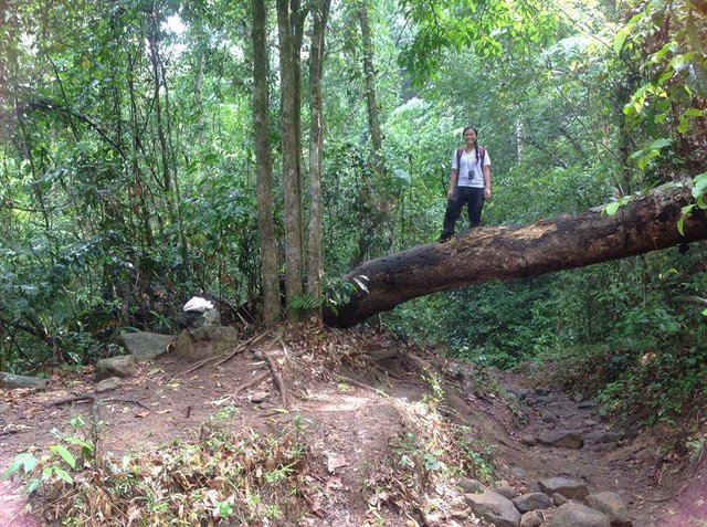
I was very fortunate to have taken both trails. I have climbed Pico De Loro three times already. First, it was when the Philippine Association of Geology Students (PAGS)scheduled a fund-raising dayhike for the geology students. Second, the introductory climb for the applicants in Mapúa Institute of Technology Mountaineering Club (MIT-MC) which is an overnight climb. Lastly, a quick training climb for the MIT-MC induction. By quick, I meant 2 hours max up and 1 hour max down. The first two climbs used the old trail while the last used the new trail.
The normal pace for first time hikers maybe 4-5 hours up.
The Hike
For first time hikers, the difficulty of the trek may be said to be untrue. But for hard core mountaineers and locals, the trail is so easy they could take it for 1 hour up or less. There are even 60°-70° assault but for only brief moments. The trail is very forested that the hikers won't have problems about the heat of the sun while climbing.
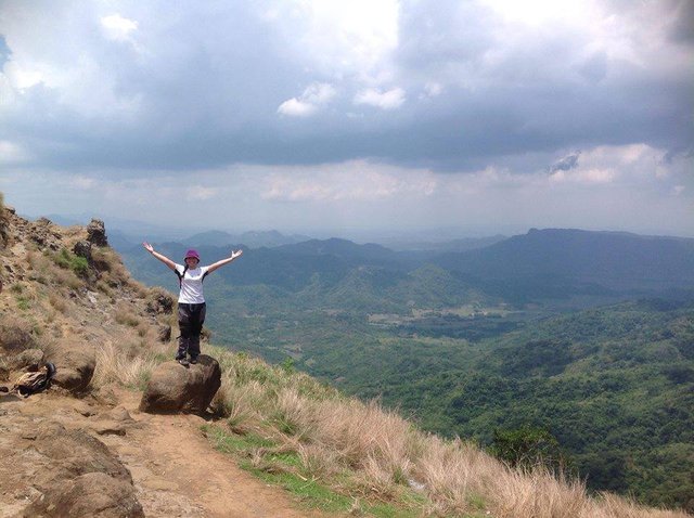
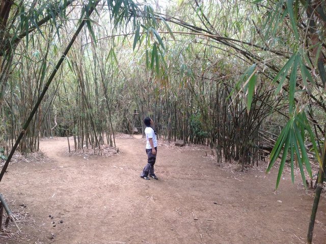
Upon reaching the campsite, the view is magnificent. Mountain ranges are very pleasant in the eyes as well as the campsite itself. It is very spacious. It lies under the bamboo groves that look like tall men bowing.
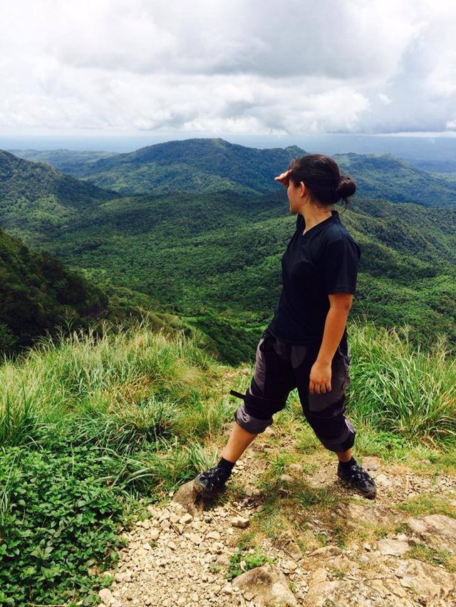
The summit is a 360° view of the mountainous area. The South China Sea as well as the Manila Bay can also be viewed at the top if the weather is fine. The summit might be slippery during the rainy seasons especially the monolith. That's why, it was restricted for safety purposes.
Highlights
Mt. Pico De Loro can be accessed from Nasugbu, Batangas and from Ternate or Maragondon, Cavite or a traverse is also possible. Climbers may enjoy the beach in Nasugbu and stay at the Pico Sands Hotel. On the other hand, other mountains such as Mt. Buntis and Nagpatong can be explored in Maragondon.
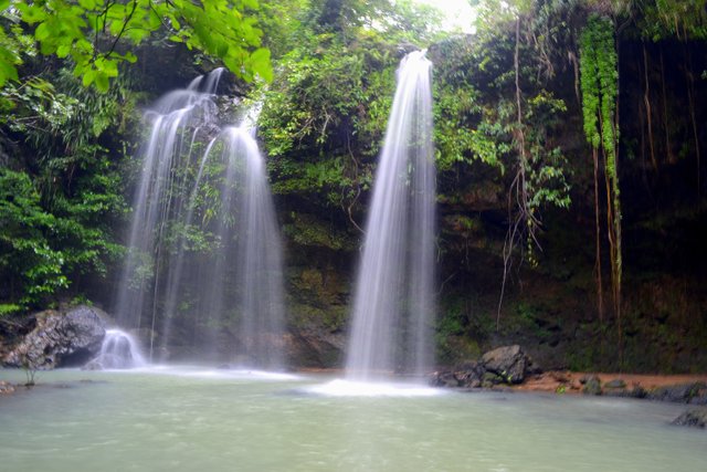
Branching from the old trail, there is an accessible waterfall in Pico De Loro. During the dry season, it's quite unsatisfactory but is a great sight during the wet season. Unfortunately, it can't be reached with the new trail. I was unable to visit this fall unfortunately.
Off Limits (for now)
Mountaineering became mainstream in the Philippines for the past 3 years. Pico De Loro is one of the most visited mountains. A lot of people have been coming to this mountain because of its easy difficulty. It's definitely for first time hikers. Thus, newbies flock to the place to climb. Because of this, I believe the mountain has been worn out.
The mountain is closed, since October 1, 2016 for rehabilitation. I was glad when it was announced because I really think the mountain needed sometime to regenerate.
Sample Itinerary
Below is the itinerary we used on my first time hiking Mt. Pico De Loro. For a more recent IT, visit pinoymountaineer.


Peak 1: Mt. Pulag
Peak 0: Mt. Taal
Little Climber