Peak 1: Mt. Pulag
Mt. Pulag is the highest mountain in Luzon and the 3rd highest peak in the Philippines. It's infamous for its "Sea of Clouds", the numerous dwarf bamboos and the view of Milky Way Galaxy at aurora. While it is a playground for hard core mountaineers, it is an item to be crossed out of the tourists' bucket list. It stands at 9, 587 feet above sea level in the middle of the three (3) provinces namely; Benguet, Ifugao and Nueva Vizcaya.
Credits to: Prelude of Dreams | Bong Bajo
This majestic mountain was proclaimed a National Park on February 20, 1987 through President Proclamation No. 75. As a National Integrated Protected Areas Programme (NIPAP) site, it covers an area of 11, 550 hectares and belongs to the Cordillera Biogeographic Zone. Mt. Pulag is also a bird sanctuary housing 143 species of birds.
Pulag is a word similar to pulog which means kalbo or bald. This may be because of the Mt. Pulag's grassland appearing to be bald especially with the lack of the trees. The natives believe that the mountain is sacred and that, spirits once roam the grasslands of Pulag. Thus, holding an ancient belief that is is the "Playground of the Gods".
The Trails
There are four (4) known trails in climbing Mt. Pulag. These trails differs according to the difficulty, length and features. You can use these trails depending on the jump-off, your training, or the number of days you want to spend hiking.
- Ambangég Trail
Difficulty: 3/9
Days required: 1-2 days
Hours to summit: 4-5 hours
This is known as the VIP trail because it is the easiest trail among all the trails. The trail is fixed by the locals making the hike comfortable and safe. Amateur climbers usually take this trail. - Akiki Trail
Difficulty: 7/9
Days required: 2-4 days
Hours to summit: 10-11 hours
This is one of the most challenging trail up the Mt. Pulag's summit tagged as the "Killer Trail" because of its precipitous 60-70 degree-slopes. Akiki is derived from the high-pitched sound "Aki-ki-ki..." made by small birds found in Mt. Pulag. - Tawangan Trail
Difficulty: 6/9
Days required: 3 days
Hours to summit: 10-11 hours
This trail is featured by Gideon Lasco as perhaps, the most comprehensive trail among all the three others. This trail is used in the famous Luzon 321 which is a trip to the Luzon's three highest peak: Mt. Pulag (2922 masl), Mt. Tabayoc (2842 masl) and Mt. Timbak (2717 masl). - Ambaguio Trail
Difficulty: 6/9
Days required: 3-4 days
Hours to summit: 10-11 hours
This is the longest trail among the four trails which is from Ambaguio, Nueva Vizcaya. The trail categories include assault, montane, steep slopes; open (grasslands) and mossy forests. This trail is used as an alternate route to reach the grassland summit of Mt. Pulag past Camp 2 from Mt. Ugo in Ugo-Pulag Traverse if one wishes to connect to Mt. Pullol as a side trip.
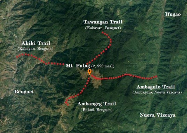
Mt. Pulag Trails (Estimated locations)
Hiking Mt. Pulag
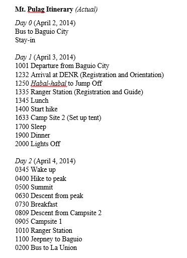
Last April 3-4, 2014, my friends and I climbed Mt. Pulag. It was may second climb after Taal. Supposedly, we were a group of 5-6 but because of unfortunate events, only 3 of us went.
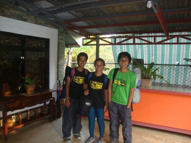
The climb was amazing. We actually didn't expect that it will be easy and comfortable. Even our guide told us that we are "nagpartas" which translates to fast. We were told that we can reach the campsite in 3 hours but we did it in only 2 and a half hours. The descent was even faster. We took it in just 2 hours when we were actually amateurs in climbing.
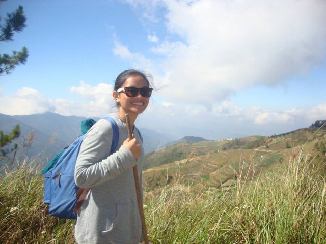
The Trail
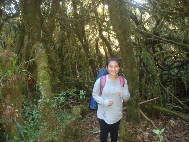
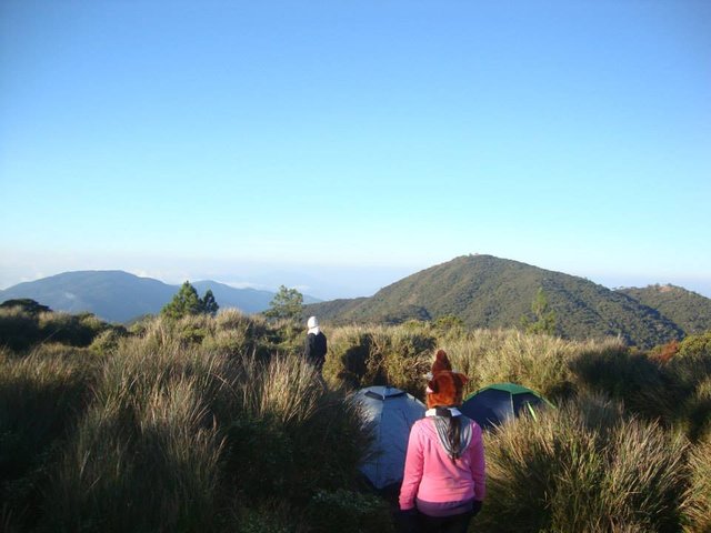
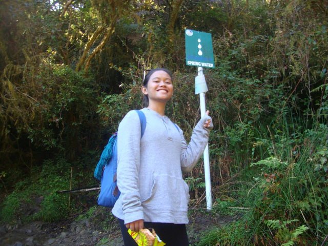
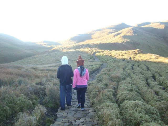
We took the Ambangég-Ambangég trail which is recommended for first time hikers in Mt. Pulag. This trail is very convenient. The route passes through the cemented road, the dirt road, into the mossy forest exiting on the open campsite's dwarf bamboos. Rocks were piled to form a path inside the mossy forest and to the summit. There are also water sources along the trail. The water is so cold that one would think it was stored in the refrigerator.
The View
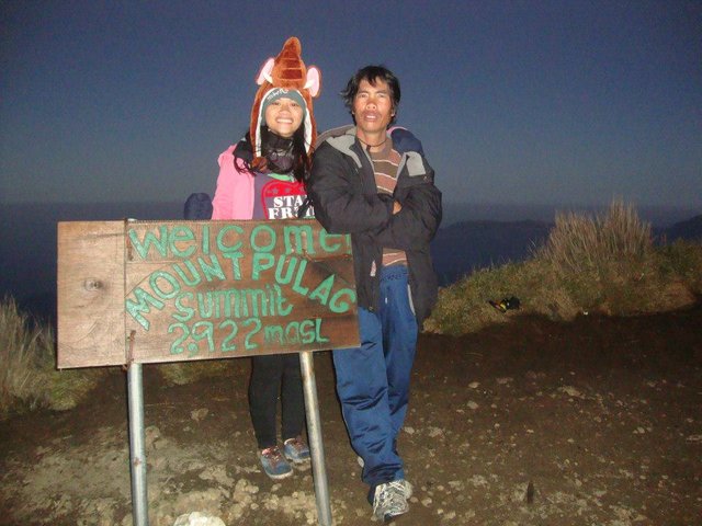
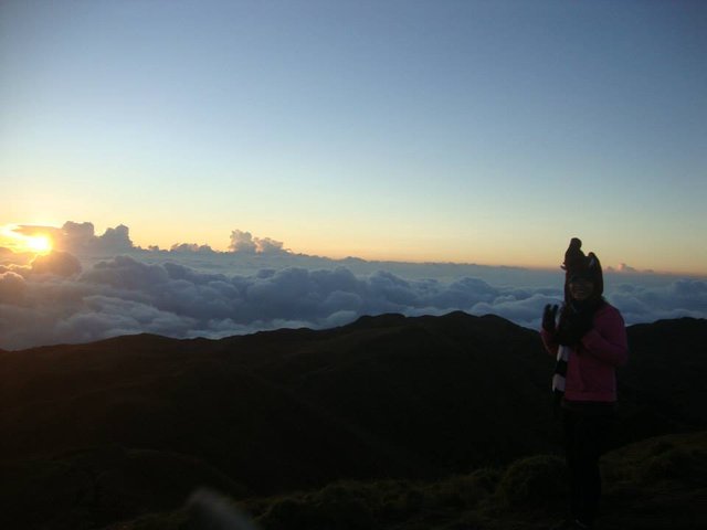
The view was breathtaking. The weather was perfect and I was so happy that we decided to climb on a weekday. There were only the three of us in the summit, our guide and a couple. We realized that we made a good choice on our way down because we met a lot of people ascending the park.
The Itinerary
@jillstein2016 What do you mean, man? 😊
beautiful...^^
Thank you! 😊