Ancient Dwarka: The Chicxulub Connection
For context:
Dwarka: The Lost City of Krishna
The Geopolitical Impact of the Discovery of Ancient Dwarka
Ancient Dwarka: Tales of the Land
When the Earth Expanded
When the Earth Expanded (Part 2)
When the Earth Expanded (Part 3)
Theory of Everything
Intro
Evidence shows the Earth expanded by fracturing from Eastern Mediterranean westward, along eastern North America southward, between North America and South America, to western South America where a vortex ether storm passing through the Earth from a weapon used on Dwarka was applying pressure & caused the opposite side of the Earth to explode.
I know.
Discussion
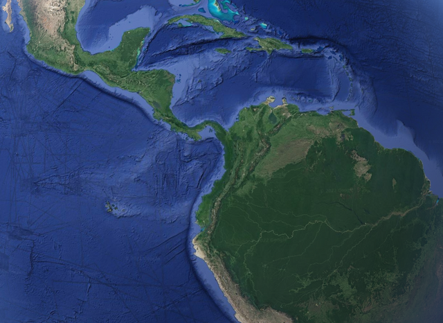
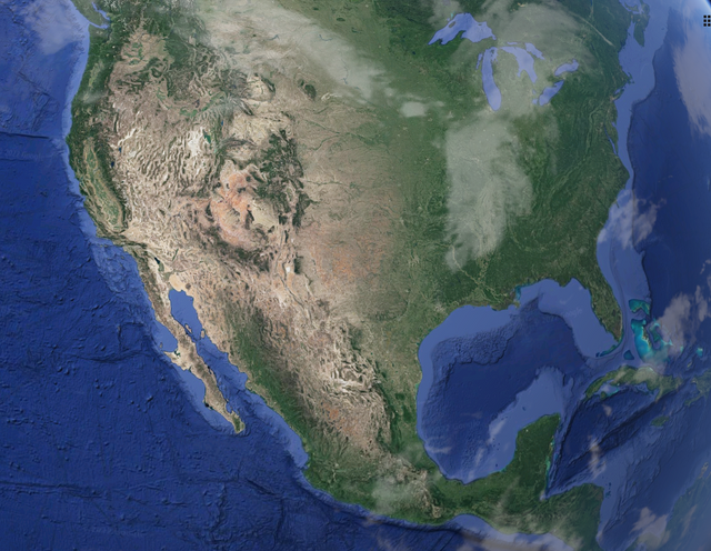
This explosion caused the antipodal position of Chicxulub and the land of Central America to be, due to torque of the vortex, twisted as it broke free so as to push against South America as the lands split apart, causing mountains of NW South America and islands of the Caribbean.
Mount Girnar is at 21.53N, 70.53E:
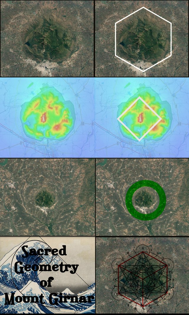
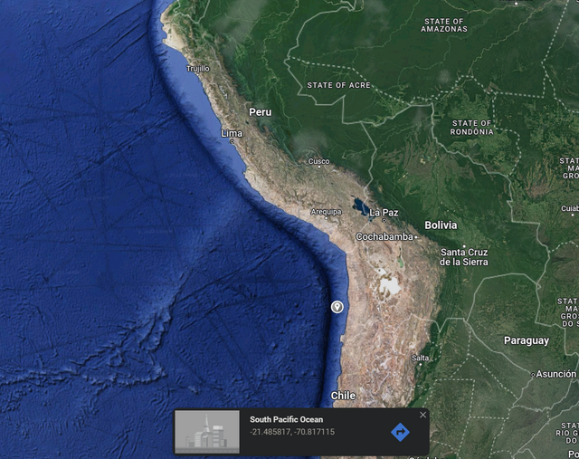
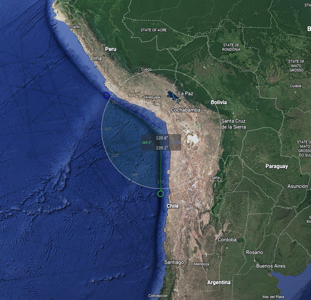
And the location of the rupture is at ~21.53S, 70.53W, which pushed up the Andes. The ocean floor tells us South America and Africa were still conjoined and the pressure of the explosion pushed outward into what would become the Pacific Ocean.
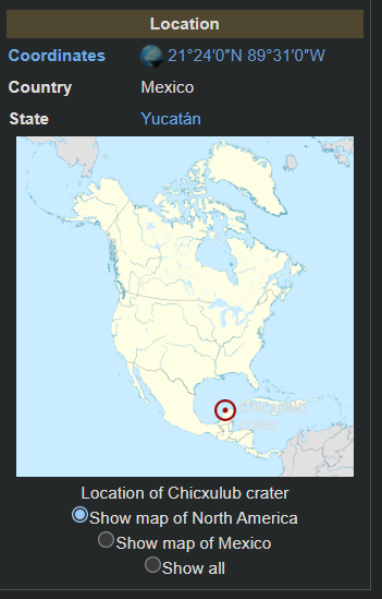
The whole explosion of the Earth followed energy flows of sacred geometry so well that the location of Chicxulub moved from the antipodal position of Mt. Girnar to the SAME LATITUDE NORTH.
These coordinates are very close to the golden ratio latitude of the Earth of 21.246 degrees North, which is generally associated with Mecca. Golden Ratio of Earth
This means that the harmonic resonance of the Earth was transformed to a different energy state, alike to how levitated water is influenced by sound: Shape oscillation of a levitated drop in an acoustic field
The Iridium Anomaly of the K-Pg boundary found related to Chicxulub matches the process, as Iridium is only found in the core of the Earth. If a vortex of ethereal energy flowed from Dwarka, through the core, and impacted Chicxulub, the energy flow could transport material.
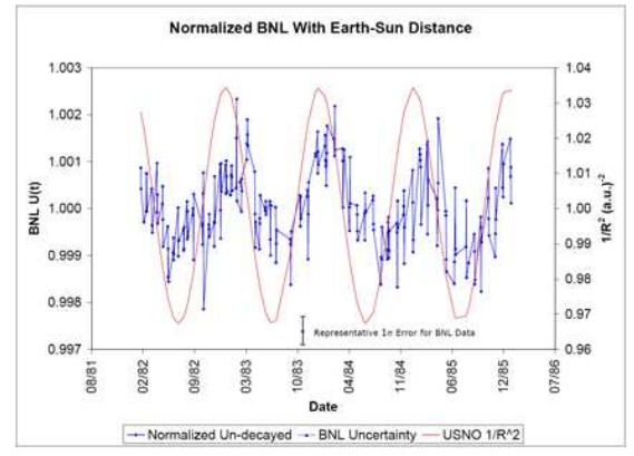
Impacts require large periods of time, but radiometric dating is known to be seasonally dependent and is therefore not a reliable method of determining absolute ages. It can only be used for relative ages in sequences of events.
Evidence for Correlations Between Nuclear Decay Rates and Earth-Sun Distance
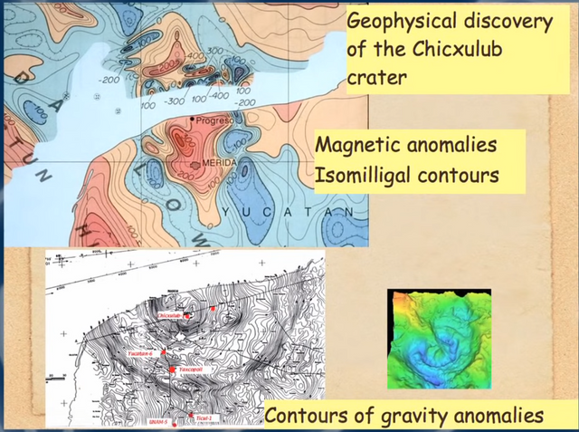
The history of the Earth as told by our ancestors has fundamentally important and actual truths of what occurred within. Chicxulub shows many magnetic anomalies indicative of a Birkeland Current.
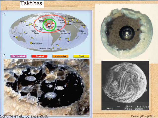
Ejecta from Chicxulub include tektites which are spherical particles having vacuum nuclei. This is further evidence of the ethereal vortex producing stable vacuum particles having shells.
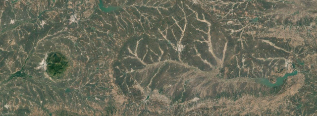
Moreover, the angle formed the fracture location, where a curiously straight line is, is ~120 degrees--that of a hexagon's corner. Mount Girnar is surrounded by a distinct hexagonal pattern, which is tied to a physical rotation of energy in a vortex.
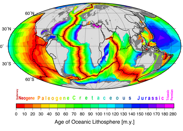
We can look at the ocean floor crustal age to see the flow of the Earth's fracturing. The oldest ocean crust is in the Mediterranean, then between North America and Africa, as well as North America and South America. Then there is a large CIRCLE in the Pacific from the Earth's explosion.
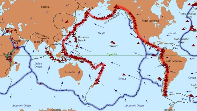
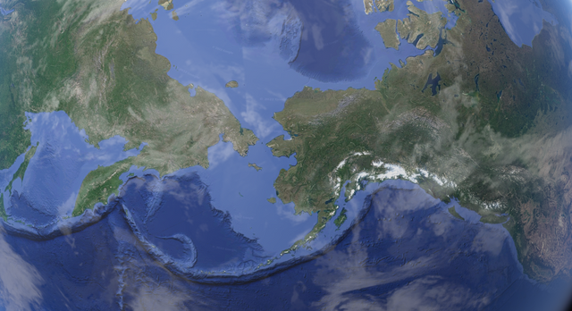
The explosion sent shockwaves throughout the region of the Pacific in all directions, causing the Ring of Fire because of the presence of water, which has explosive expansive properties under high pressure and temperatures, in the process.
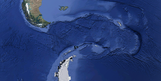
When the pressures caused South America and Antarctica to separate, they did so violently sending a shockwave of energy that pushed up mounds of material along the path and a volcanic island arc.
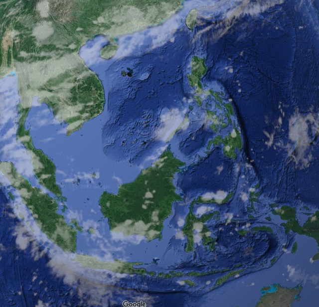
The explosive force directed into the direction that would become the Pacific Ocean was so immense that it shoved Asia and Australia apart and created the Indonesian Archipelago.
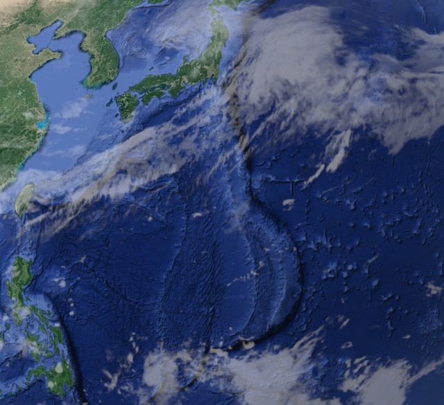
When the Archipelago blocked the westward propagating energy from passing through the channel, it reflected with such fierceness as to create the Mariana Trench.
Energy reflected was separated by its density and the more subtle energies stopped first while the denser energies traveled further, creating two distinct imprints of the energy's flow. This is alike to how gamma rays pass through material further, and how quasars are born.
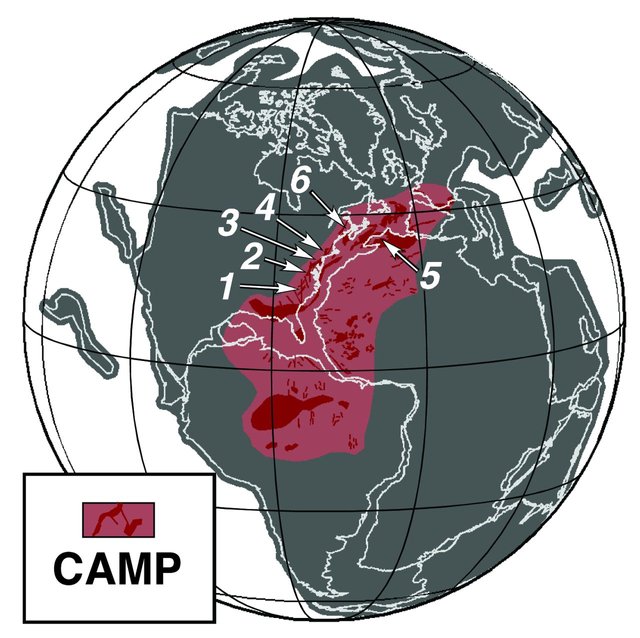
While the Earth was still at its previous radius, but fracturing from eastern Mediterranean and between North America and Africa, magma began to seep from the gaping fracture in the crust, creating the Central Atlantic Magmatic Province.
As can be seen, the CAMP was limited by the Appalachians from going further westward, which were formed by the propagation of the fracturing fault line across the circumference of the Earth. The direction the energy propagated is shown by the mountains.
Water and other material began to sweep westward across the globe as it was gushing from the Earth as well. But the explosive force in the Pacific caused a collision of energies leading to mountains between.
As the Earth rotated, the waters continued to flow westward and north along the mountains. This caused a body of water to be directed across North America into Asia.
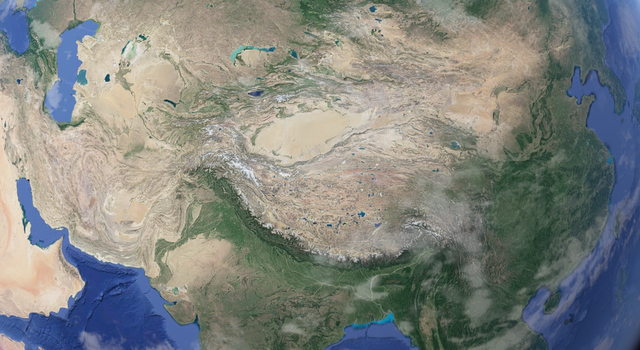
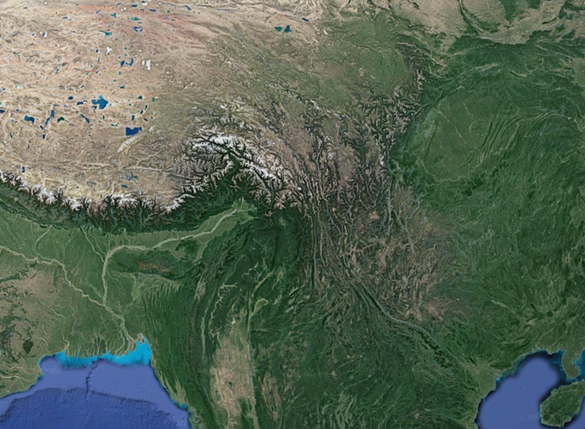
As the waters accumulated from this process, they flowed with greater force as they moved towards the outlets into newly forming ocean beds. As it swept into Asia, it pushed up a mound of material in front of it from the weight of the water, creating the Himalayas.
The mountain chain was unable to hold the force of the water and it crumbled, creating a separation between the Himalayas and eastern mountains formed with them. This spilled down into the land below, changing topography and resulting greenery of the land.
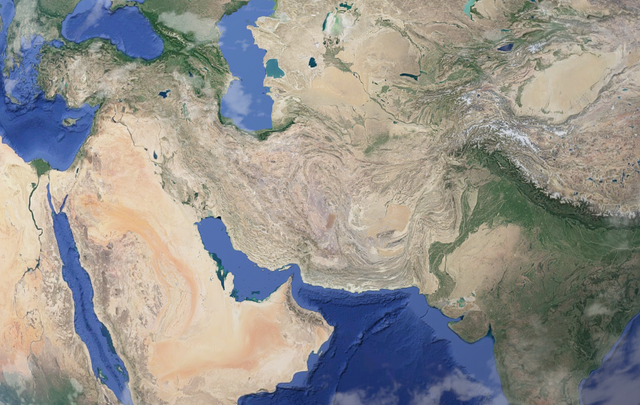
Other portions of the water went around western Himalayas and spilled down across the Middle East. At this stage, the material was more and more stripped of nutrients and becoming more purely sand.
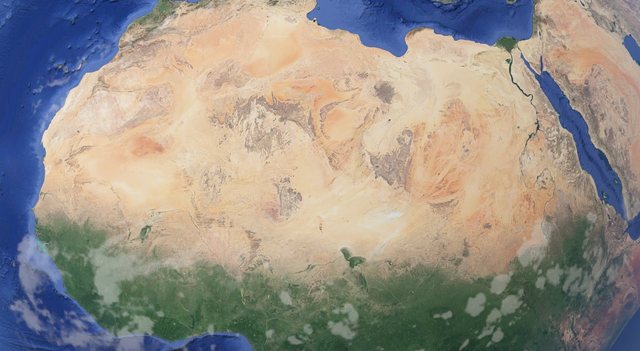
The currents that made it through all the way to Africa without finding an ocean bed swept across the northern country, largely void of nutrients, and left behind the Sahara desert.
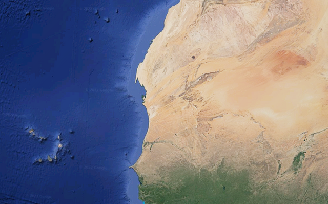
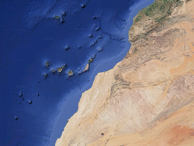
This was where the currents spilled out into the Atlantic Ocean, newly being formed, Cape Verde and Canary Islands were created as can be seen by the flows still imprinted into African sands.
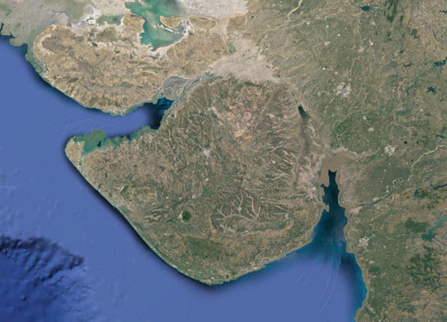
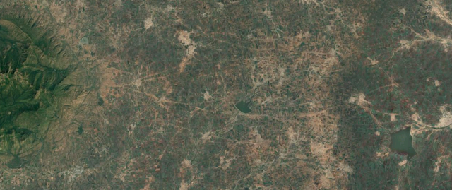
The vortex storm traveled through India and produced the Deccan Traps by allowing cosmic energies to reach the surface and transform it. The eye of the storm physically traveled from Dwarka through the Gulf of Kunch to the Gulf of Khambhat.
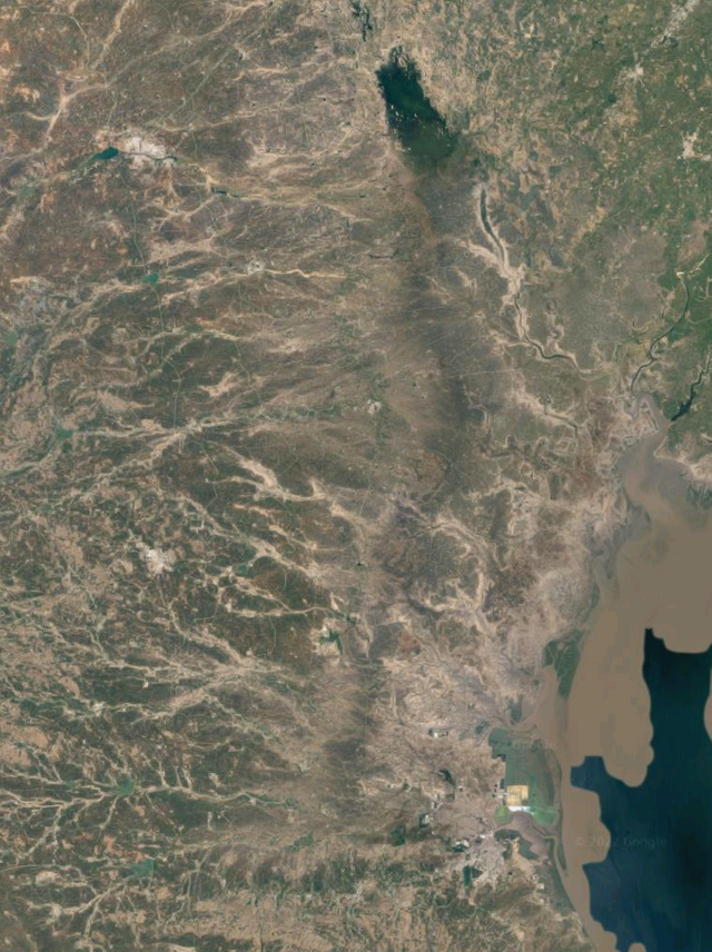
As it moved, it applied a downward pressure onto the planet that then flowed outward, carving the Gulf of Kunch into the land. The eye of the storm traveled over a region of land that was solid enough to not be drilled into and, instead, left a scorched imprint of its path.
The storm created a stable void nucleus that is effectively an electron on a different scale. It's negative energy sent such magnitudes of lightning as to scar the land nearest to its travel. Until it suddenly discharged in the direction of Mt. Girnar.
The energy flowed into Mt. Girnar with such influence as to produce a distinct hexagonal corner pointing in the direction of the discharge.
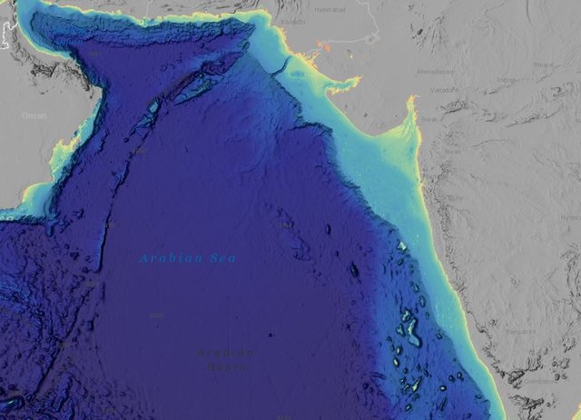
This discharge caused the ocean seamount to be imprinted with the storm's band as well, leaving evidence of a phi ratio storm on Earth in the structure of the seamount chain.
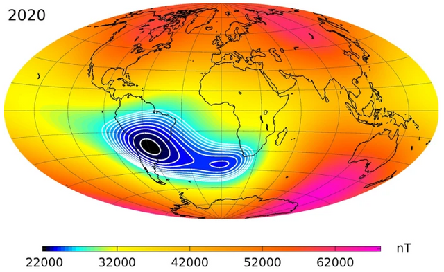
This caused the void particle to be ejected away from the Earth where it now is pushing into our magnetic field, creating a depression known as the South Atlantic Anomaly.
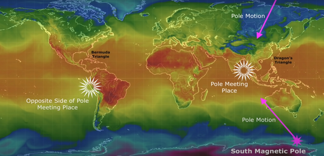
The anomaly is moving towards the antipodal position to Mt. Girnar, while the North and South Poles of Earth are converging near India. Are they actually headed for Mt. Girnar to merge as a single pole opposite to the location that the South Atlantic Anomaly is heading? Seems likely.
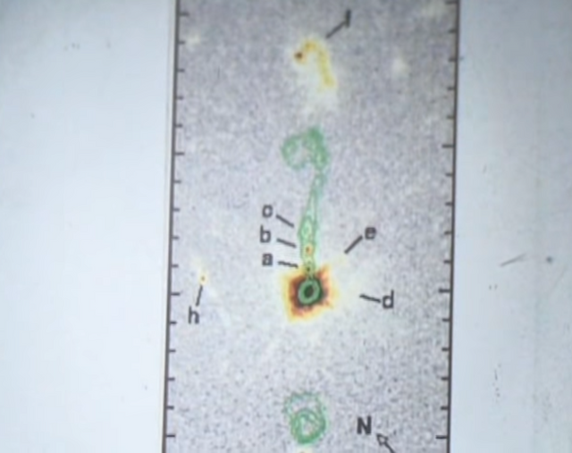
As the South Atlantic Anomaly moves into the position of Mt. Girnar's antipode, a second smaller system is distinctly separating from the anomaly, demonstrating the mechanics of particles splitting on a different scale.
Mt. Girnar
Mount Girnar is nothing short of literal Heaven on Earth. The vortex storm that was sent into Dwarka, the Gateway TO Heaven, led to an equal and opposite response FROM Heaven of the positive vortex storm that formed Mt. Girnar. The South Atlantic Anomaly is like the negative pole of a magnet, being composed of a stable vacuum particle. Mt. Girnar, on the other hand, is the positive pole--composed of dense, solid material. So much so that it is causing the Earth's magnetic poles to merge on it's position as a single unified pole opposite to the South Atlantic Anomaly's end position off the western coast of South America.
As a result, Mount Girnar is heaven on Earth, like two dimensions of the universe having their fabrics pushing against one another where one actually is able to cross the boundary and be in the other's reality.
