Walk with me to the old highway bridge
Hello, steemians!
I was going to put this post up a couple of days ago but I was having problems with the computer that I had been using, so everything got delayed while I switched over to using my laptop full time.
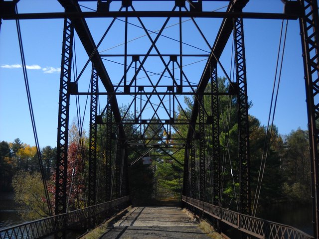
This bridge has been out of commission for many years, probably since before WW-2. The bridge is a bit up-river from one of the local power dams on the Menominee river. Upper Michigan is on one side of the river, and Wisconsin is on the other side. When this bridge was built, a causeway was built across the reservoir behind the dam, from the Wisconsin side to an island in the middle, then the bridge, and a short causeway to the Michigan shore. For today's walk, we're going to walk from Michigan across the bridge and to the Wisconsin side.
So, let's take a walk, shall we?
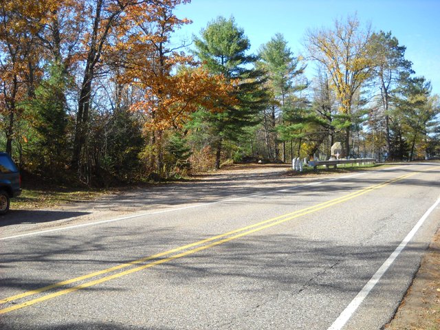
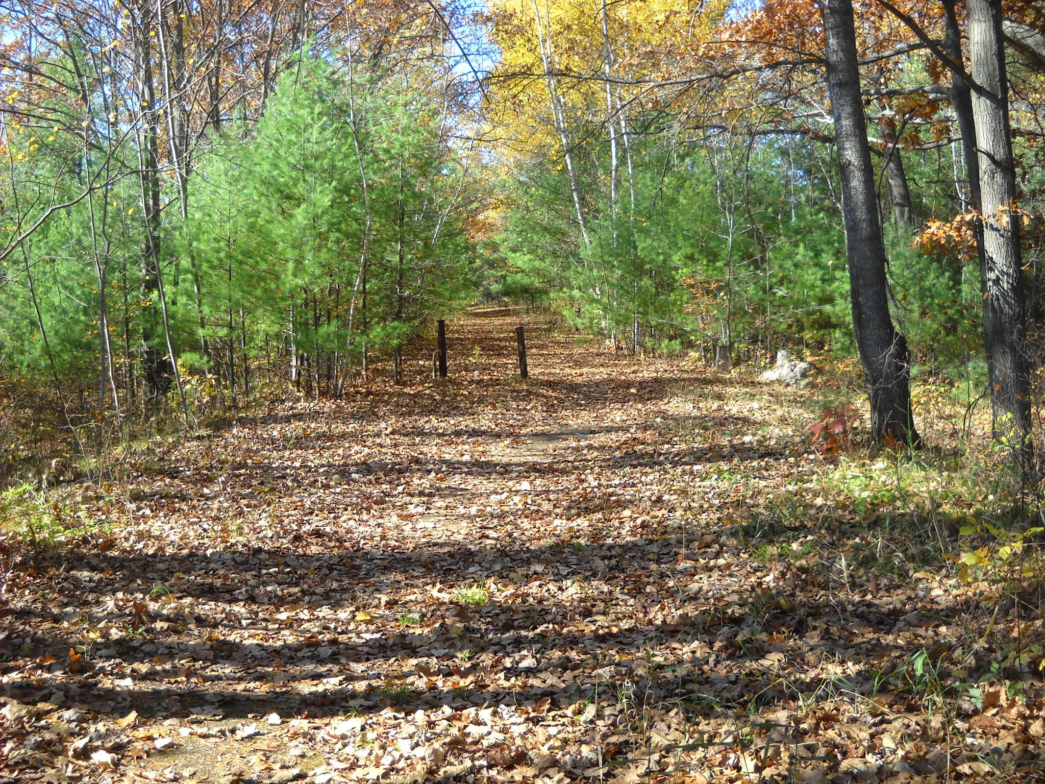
This is where the causeway begins on the Michigan side. There's a small parking lot here and a picnic table close by.
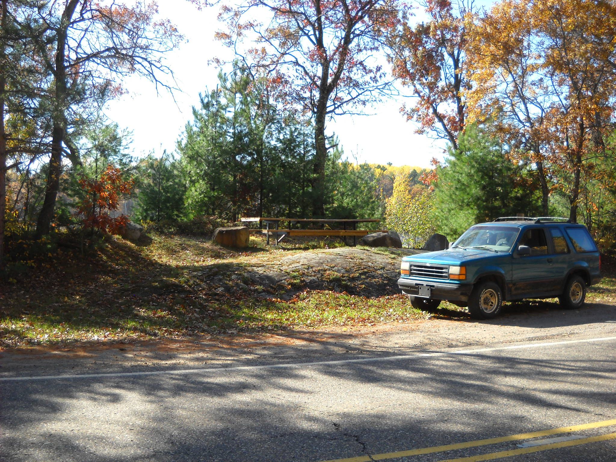
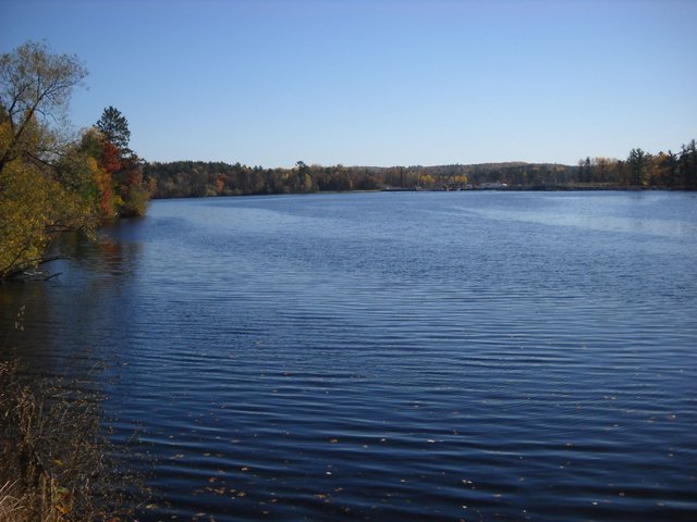
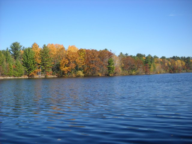
A quick look at the power dam from the where the picnic table is.
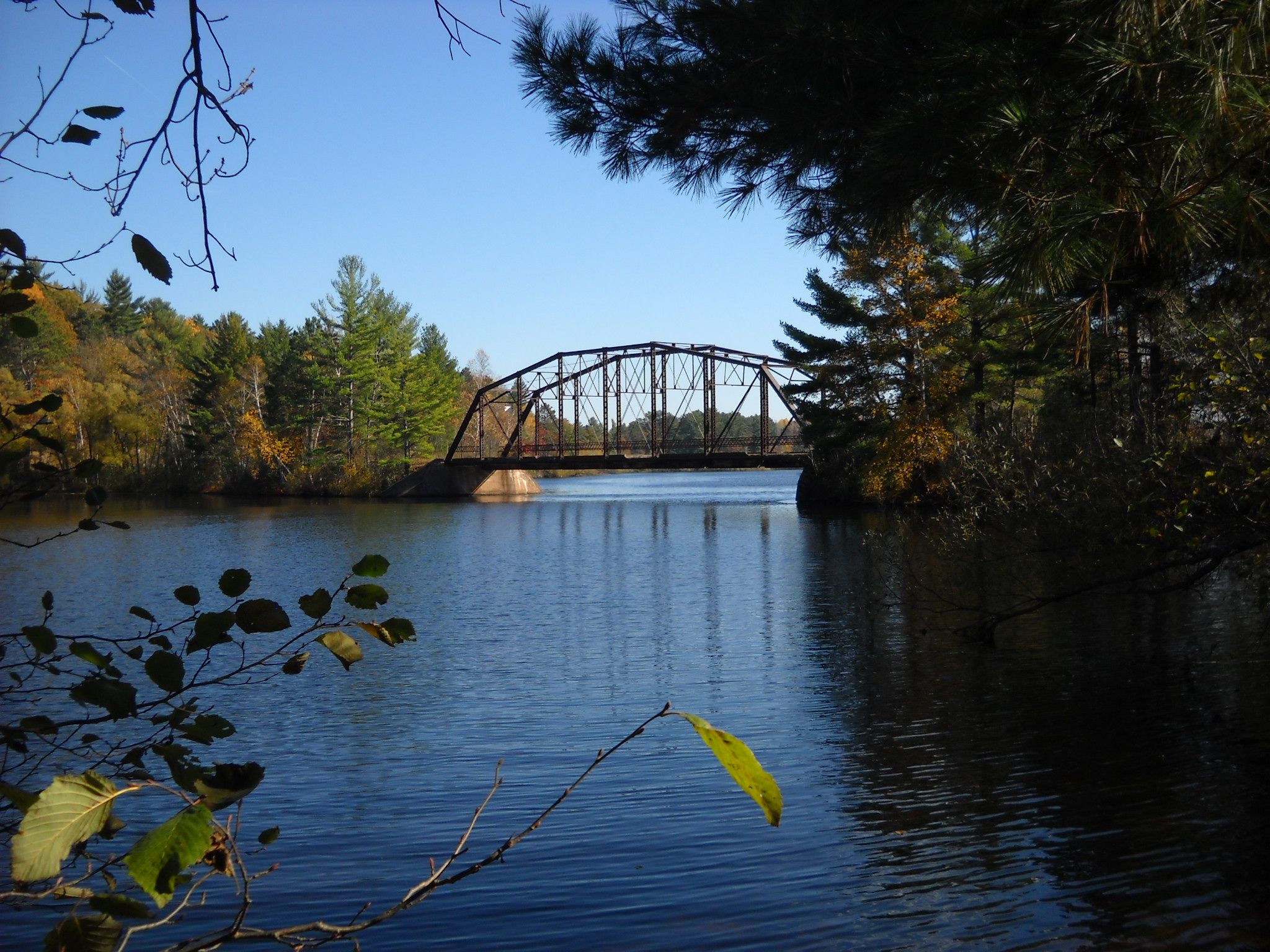
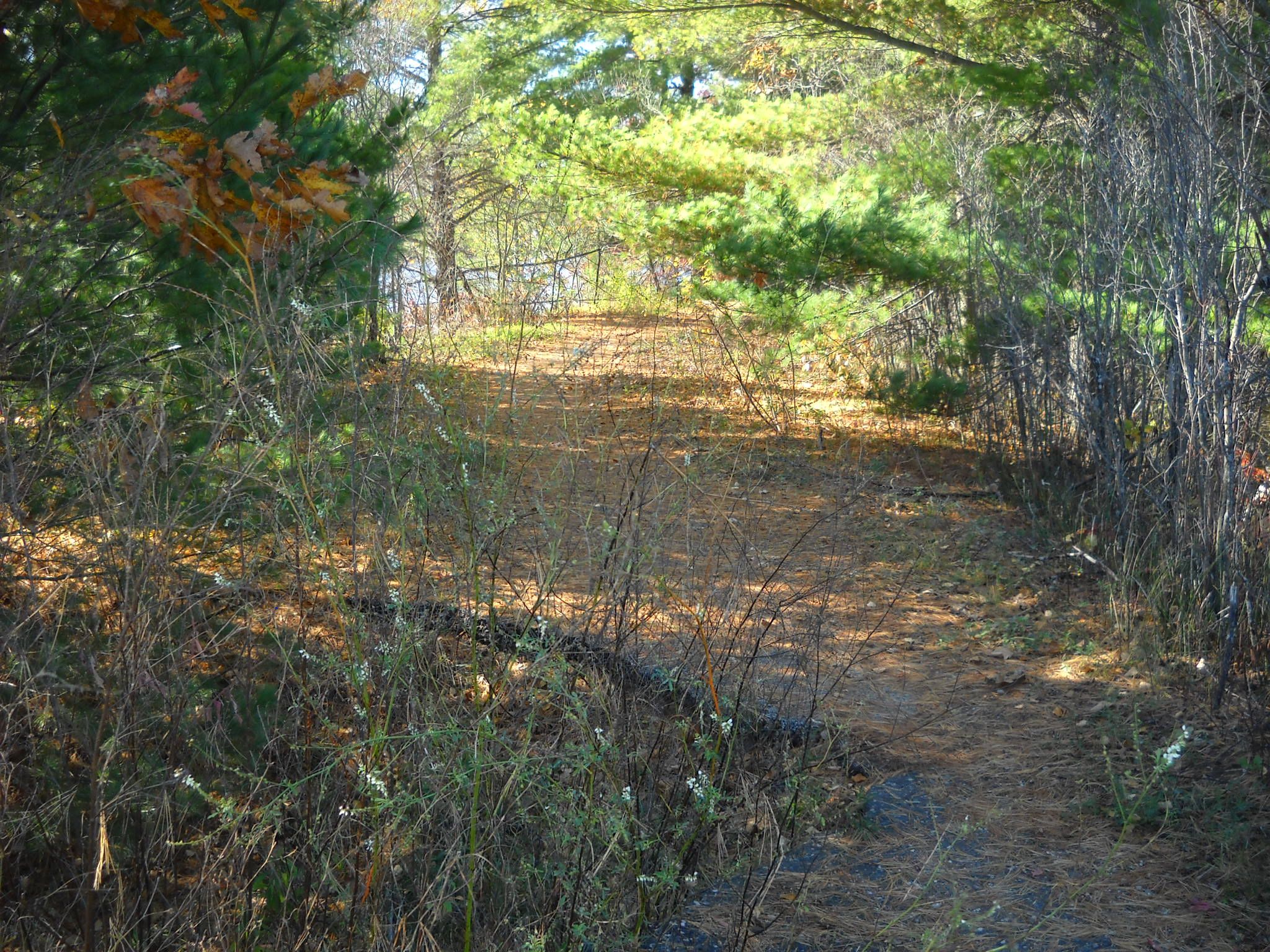
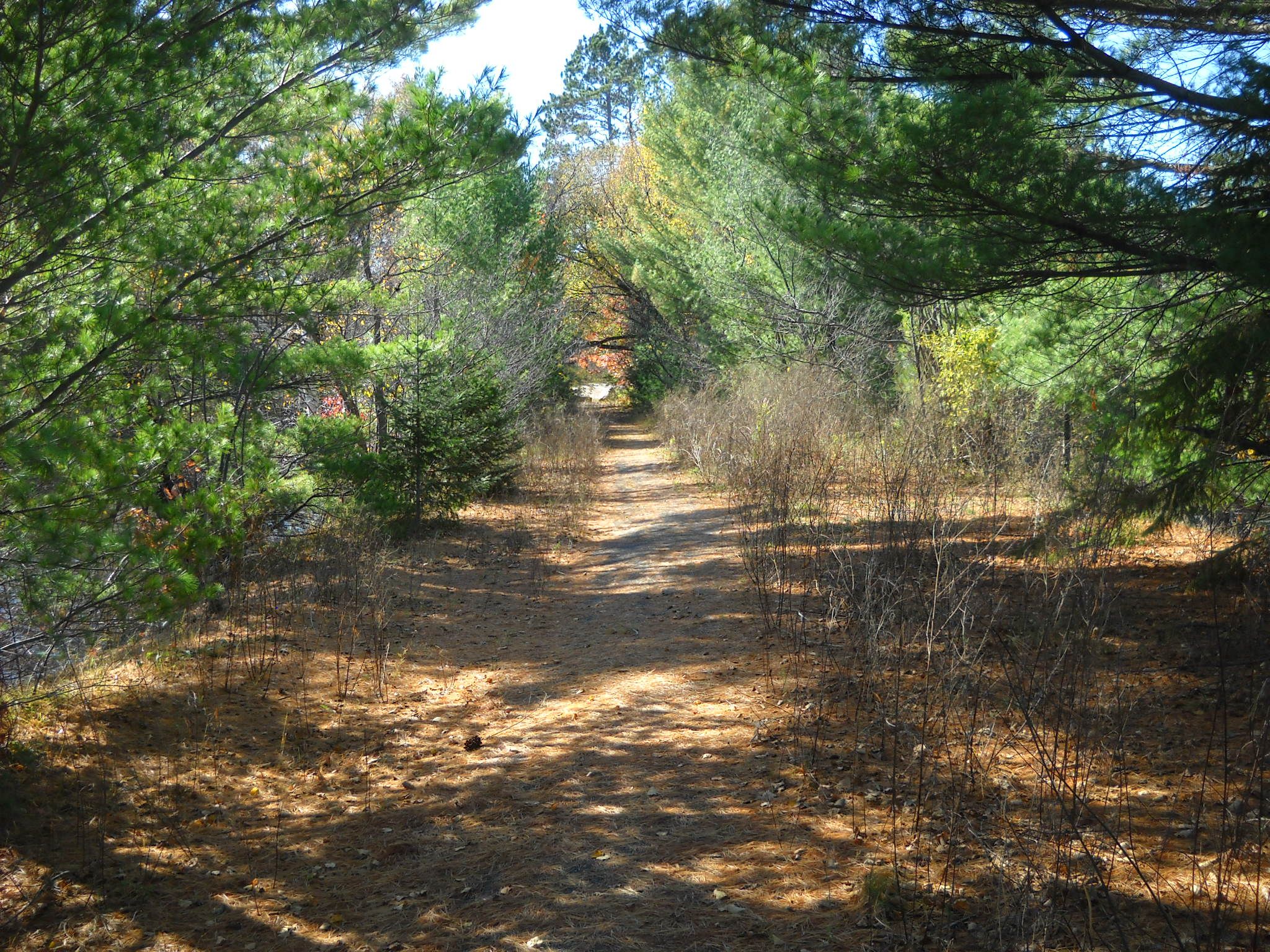
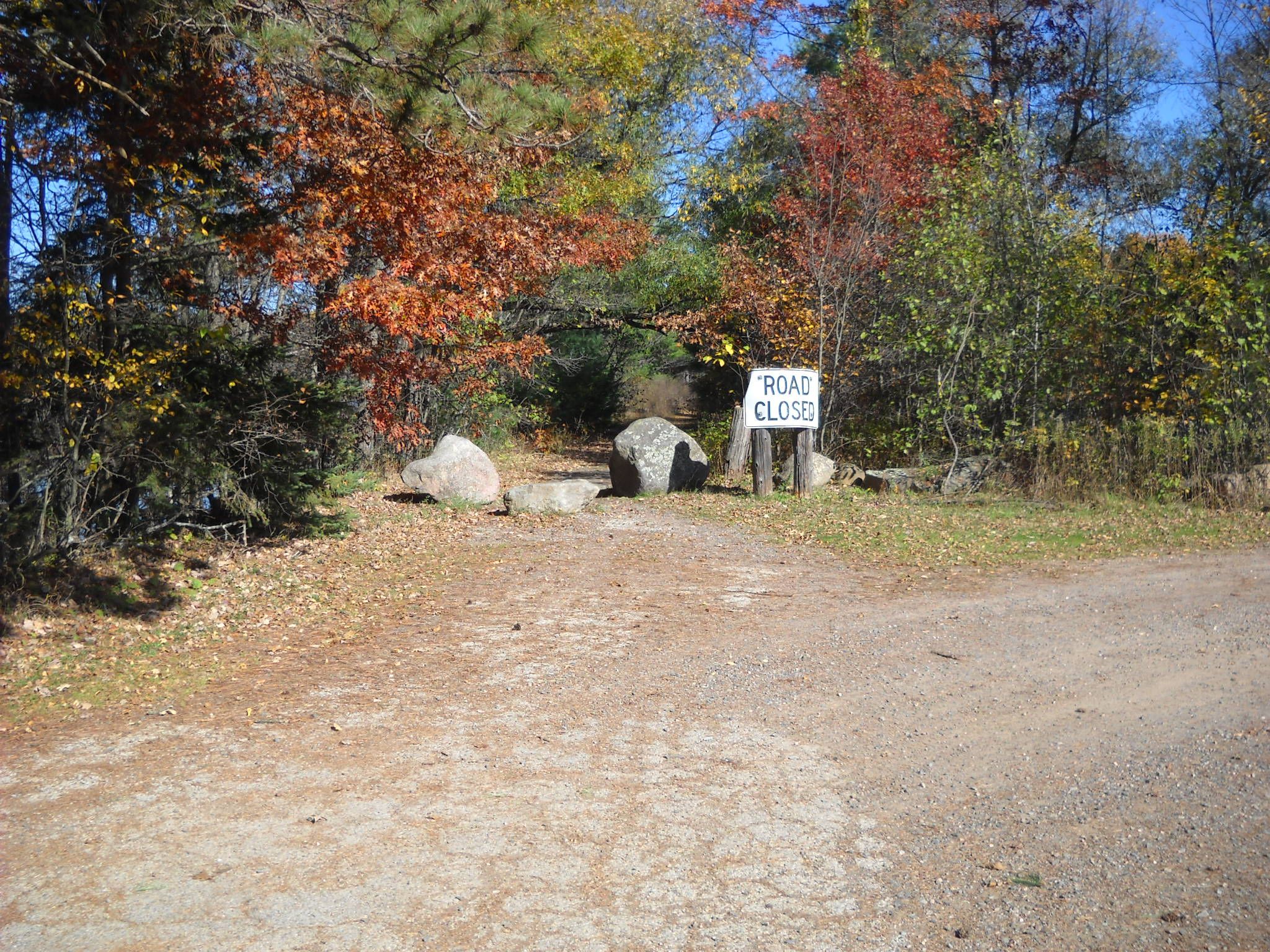
The first thing we come to on our walk is the berm put in place to keep vehicles from driving on the old road. You can just see the edge of the bridge through the opening in the trees down the trail.
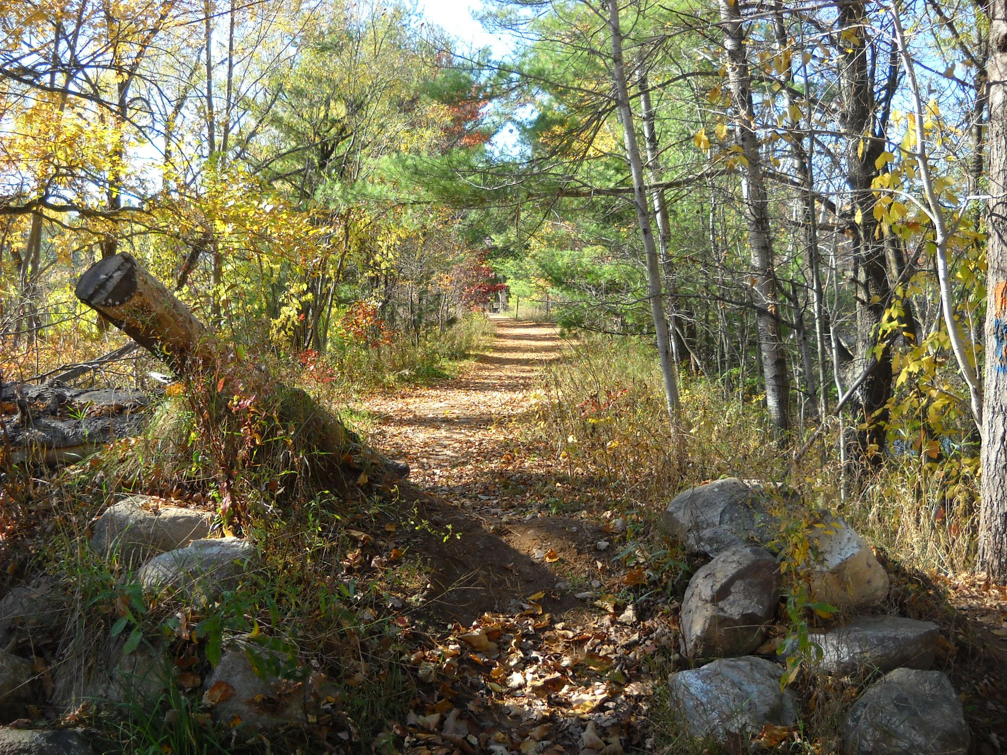
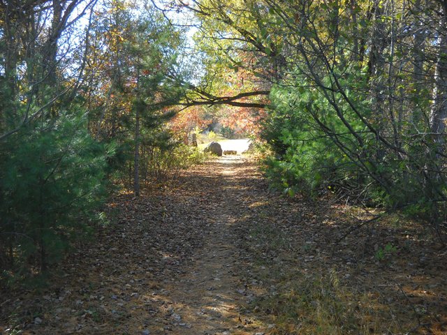
And now on toward the bridge.
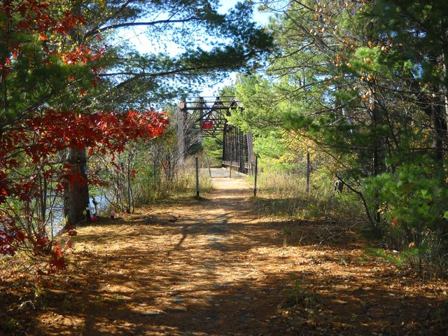
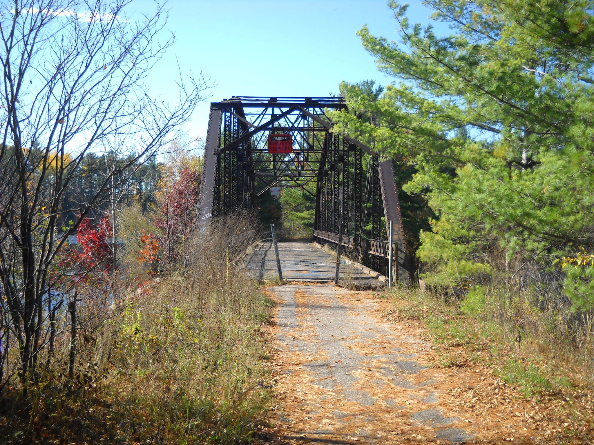
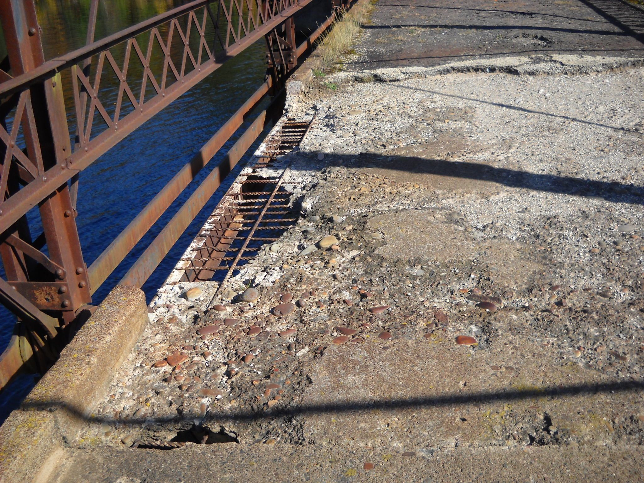
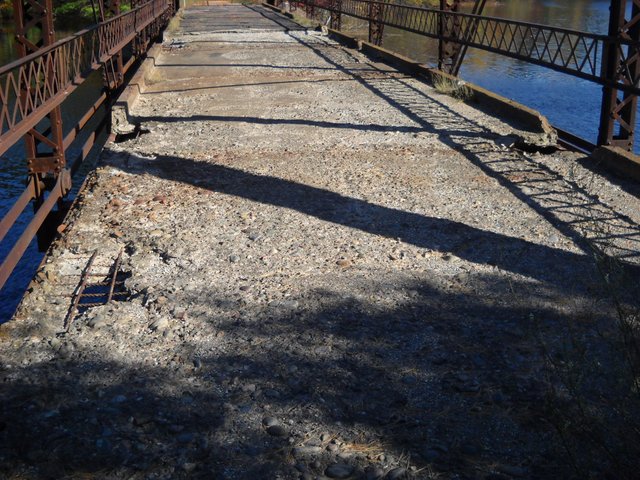
The deck of the bridge has some serious concrete erosion from sitting neglected in the weather for many years.
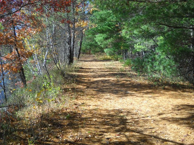
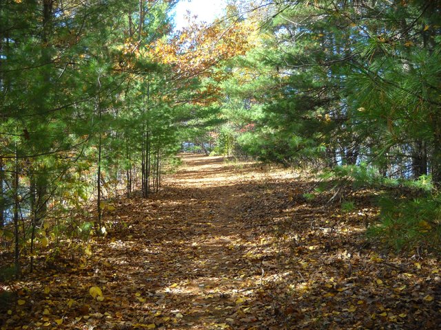
Now, to continue on our walk to the Wisconsin side. This part of the causeway is much longer than the Michigan side. It's at least 1/2 a mile across to the Wisconsin shore.
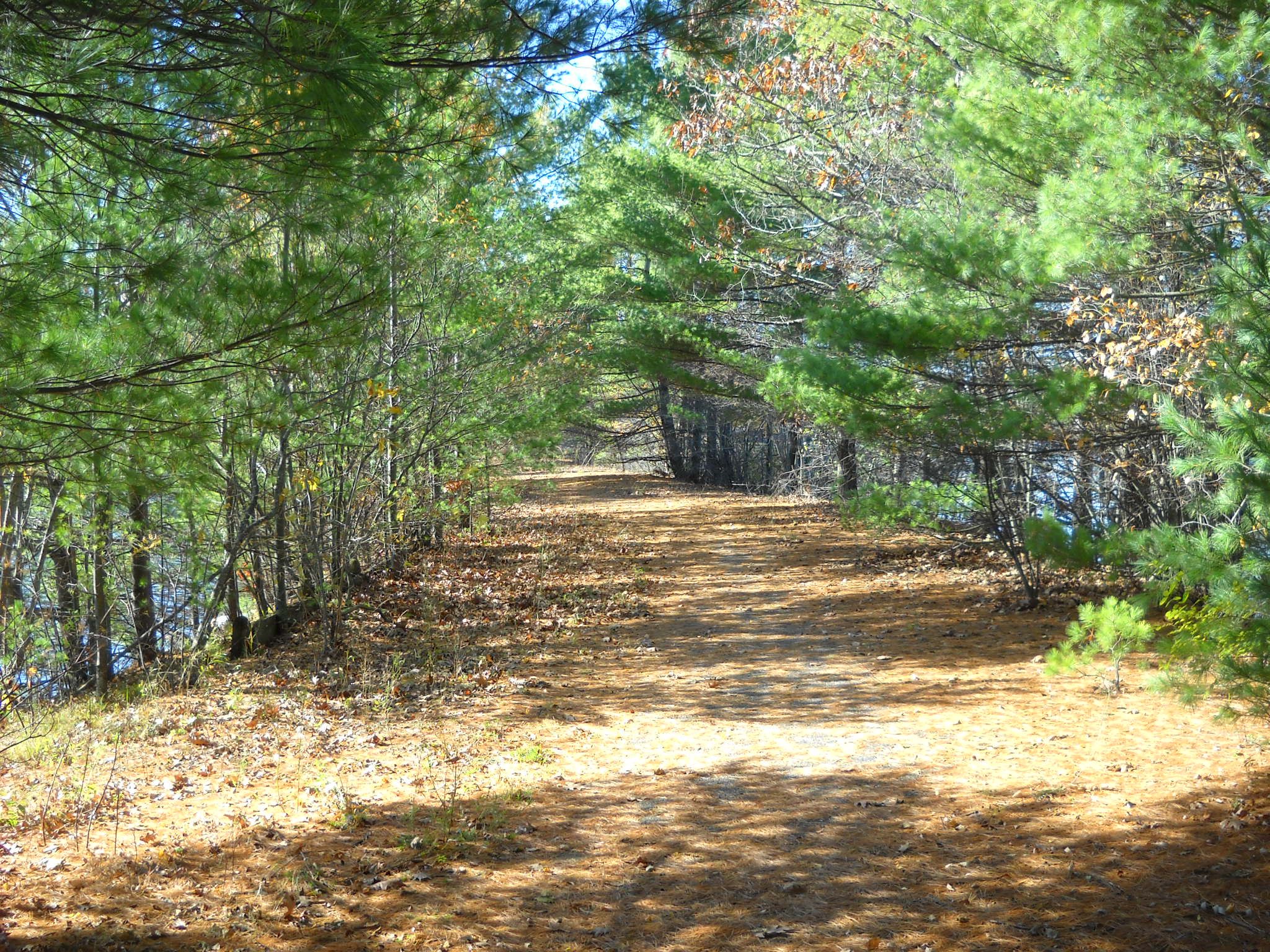
I'm not sure if you can tell in the pictures, but the blacktop is still in place on the old road across the causeway. Here's the remains of some of the guardrails that were in use back then.
And so, we continue across the causeway toward the other side.
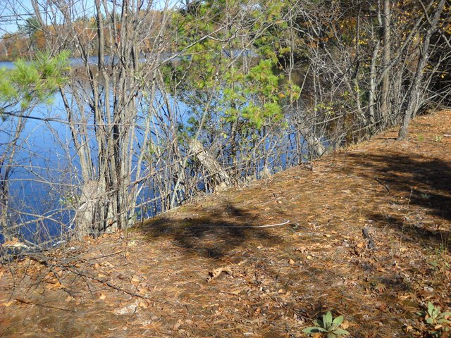
And here we are at the other end of the causeway.
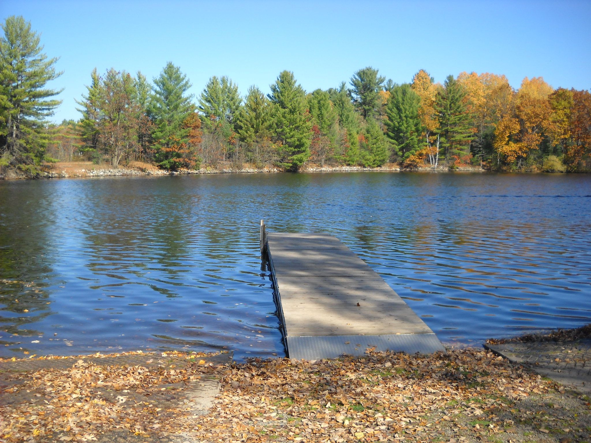
There is a nice boat landing on the Wisconsin side of the river where the causeway starts. Here's a look at the causeway from the boat landing.
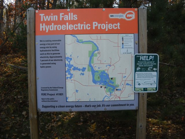
This is a sign that was put in place by the power company that owns and operates the dam. It gives a good picture of the reservoir and the surrounding area.
Now, after all of that, all that was left to do is walk back across the causeway to the Michigan side where I left my vehicle parked. It was a nice walk on a very nice late October afternoon.
Thanks for coming with me on my walk, I hope you enjoyed it!

Thanks for stopping by and checking out my post, eh!
As always, feel free to leave a comment or question if you'd like.
Ans keep on steeming on!
Love it. What a fabulous walk!
Thank you!! :-)
What a beautiful walk, thanks for taking us along!
Thank you!
Wow, I do believe this is the first multi-state #walkwithme! Well done!! Beautiful photos too :) :) :) What a perfect day it was <3 <3 <3
Thank you!
@originalworks
The @OriginalWorks bot has determined this post by @amberyooper to be original material and upvoted(2%) it!
To call @OriginalWorks, simply reply to any post with @originalworks or !originalworks in your message!
This post has received a 27.27 % upvote from @upgoater thanks to: @amberyooper.