Guatemala Part 3 - The beautiful lake Atitlán and surroundings (Fotos + Videos)
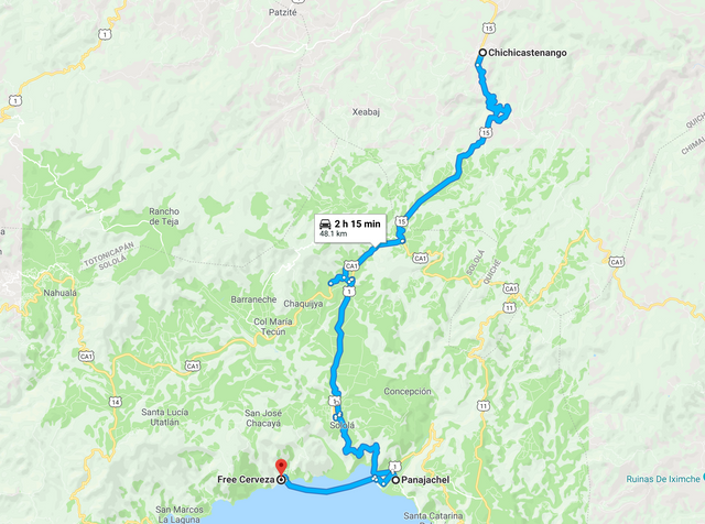
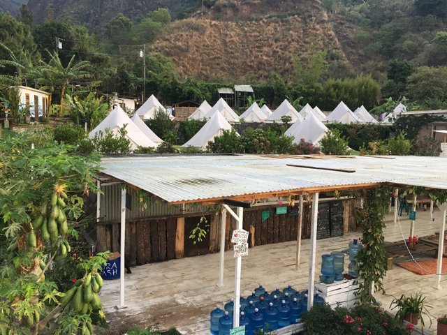
After visiting the Chichicastenango market we took a Shuttle to Panajachel, from where we took a boat to our camping Hostal in Santa Cruz.
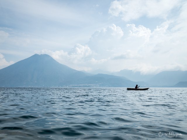
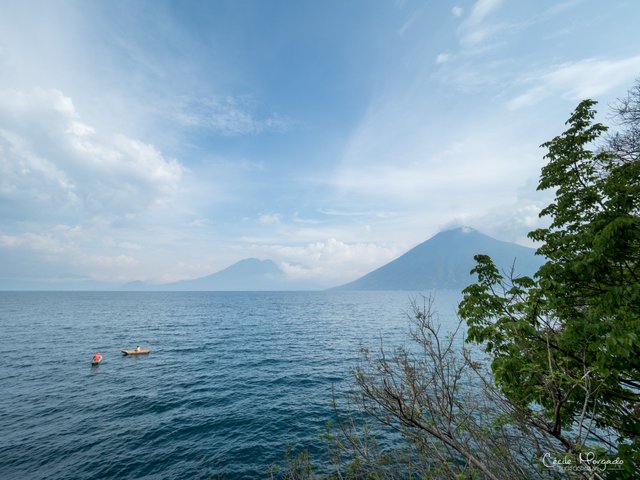
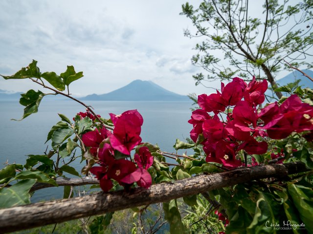
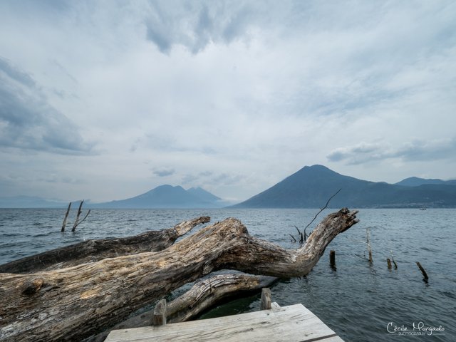
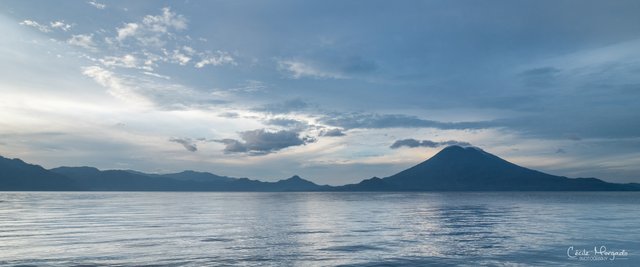
Lake Atitlán is a lake in the Guatemalan Highlands of the Sierra Madre mountain range. In Nahuatl Atitlan means "at the water". It is the deepest lake in Central America and with 130.1 km2 surface it is pretty big.
It is volcanic in origin, filling an enormous caldera formed by an eruption 84,000 years ago. It is shaped by deep surrounding escarpments and three volcanoes on its southern flank.
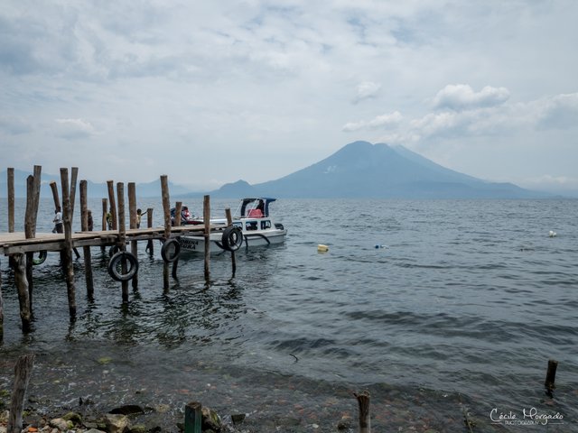
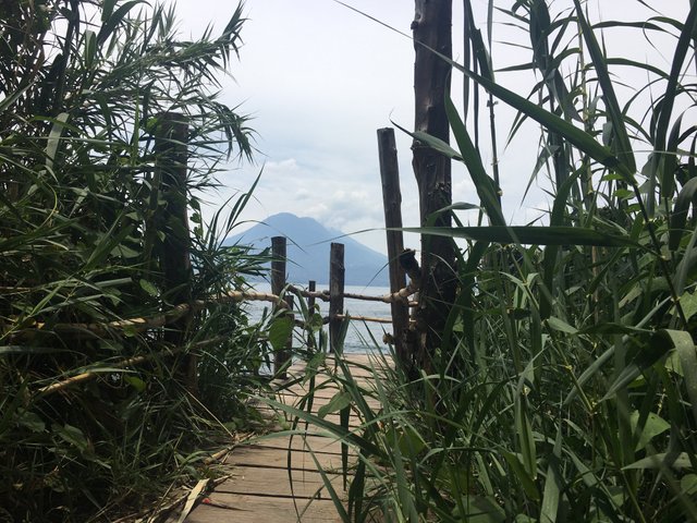
The culture of the towns and villages surrounding Lake Atitlán is influenced by the Maya people and most of them are just reachable by boat, just like our hostel next to Santa Cruz.
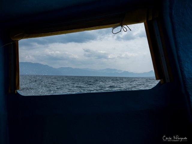
In the afternoons it get's really windy at the lake and this little 20 minutes boat trip is a bumpy ride
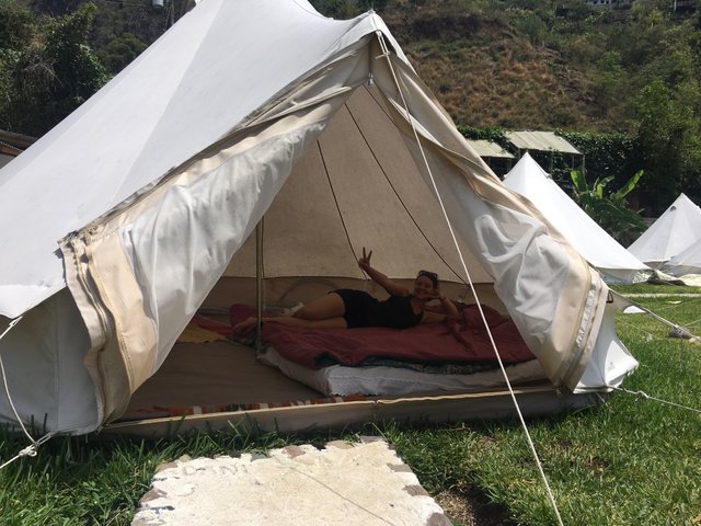
We decided to camp at the lake to have the most of this beautiful view whenever we want. And the tents where really comfortable.
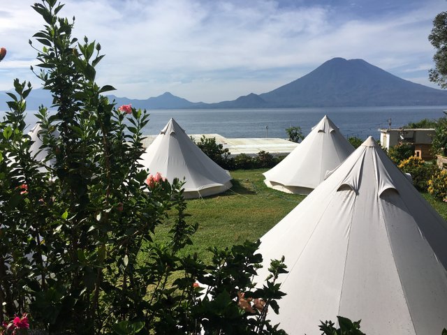
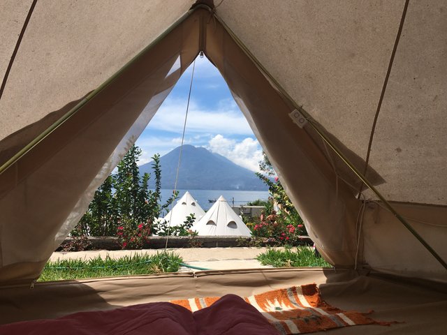
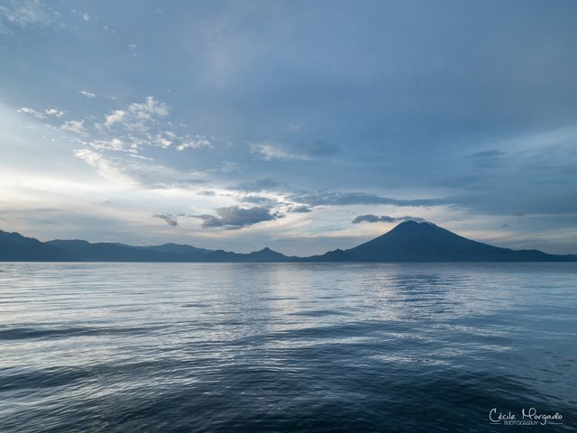
Lake Atitlán is renowned as one of the most beautiful lakes in the world, and is Guatemala's most important national and international tourist attraction after Antigua.
Our German explorer and naturalist Alexander von Humboldt called it "the most beautiful lake in the world,"and Aldous Huxley famously wrote of it in his 1934 travel book Beyond the Mexique Bay: "Lake Como, it seems to me, touches on the limit of permissibly picturesque, but Atitlán is Como with additional embellishments of several immense volcanoes. It really is too much of a good thing."
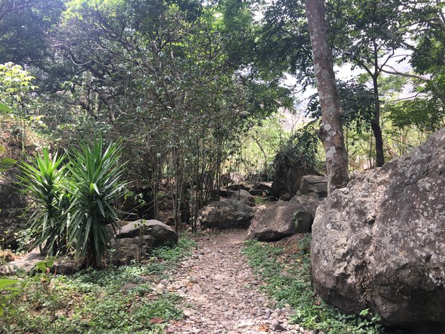
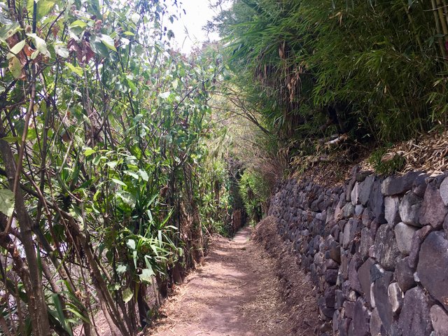
The next morning we went hiking along the lake, since there is no road between most of the little villages around. Communities are reached by boat or roads from the mountains that may have brief extensions along the shore.
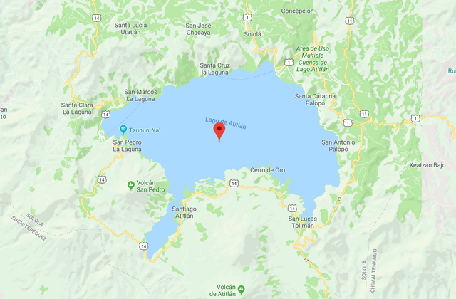
Santa Cruz La Laguna and Jaibalito can only be reached by boat. Santa Catarina Palopó and San Antonio Palopó are linked by road to Panajachel. Main places otherwise are Santa Clara La Laguna, San Juan La Laguna, and San Pedro La Laguna in the West, Santiago Atitlán in the South, Cerró de Oro on The South East and San Lucas Tolimán in the East.
On our way through the hills of Atitlán towards San Marcos de Laguna we had a beautiful view of the lake.
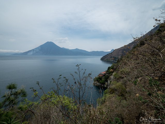
It was funny how vegetation changed that fast from tropical plants to cactus and plants, that you normally see in mixed forests.
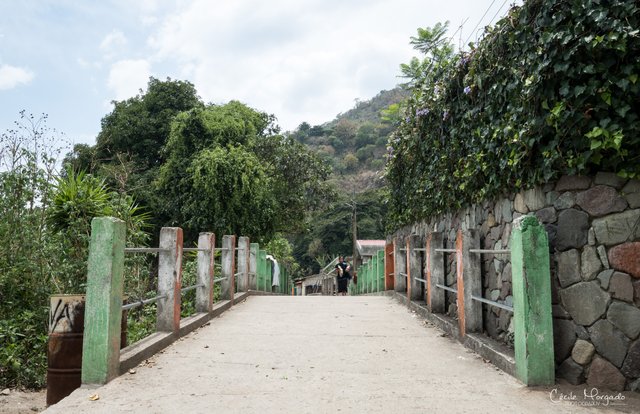
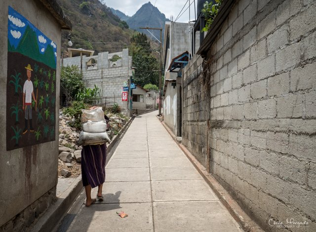
Once we reached the first village, we saw that Maya culture is still prevalent and traditional dress is worn. The Maya people of Atitlán are predominantly Tz'utujil and Kaqchikel.
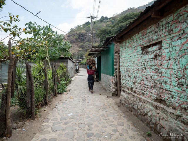
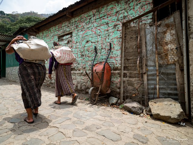
People are not really open, often don't even speak Spanish and the houses are in bad shape. (At least at the little villages).
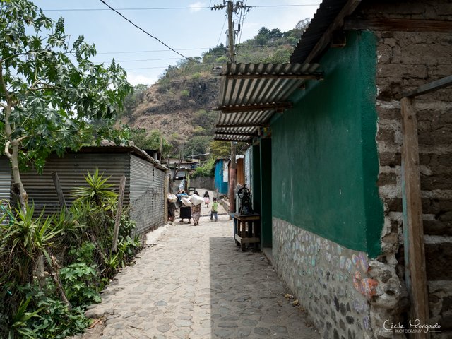
Once we got to San Marcos de Laguna, it got more touristy. Villages like that attracted many hippies in the 1960s, and although the civil war caused many foreigners to leave, the end of hostilities in 1996 saw visitor numbers boom again, and the town's economy is almost entirely reliant on tourism today.
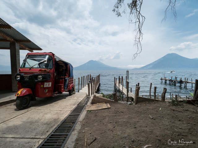
People move around walking, on bikes or with little TukTuks, that are waiting already at the "harbor".
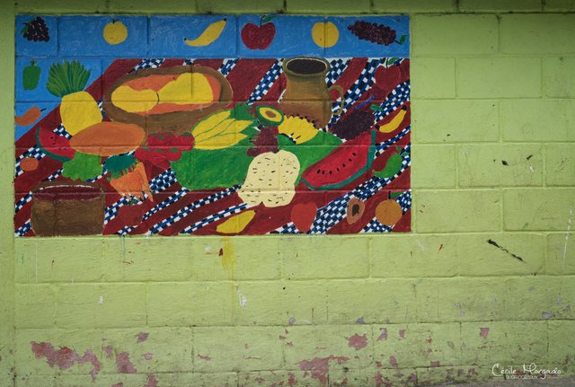
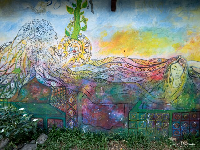
In the streets you see a lot of little shops, tour agencies, restaurants and even a bit of street art.
We ended our day having dinner at one of those restaurants at the lake and then went back to our hostel.
As always I hope you enjoyed reading my post and I am grateful for every Upvote, Resteem and Comment, as you are supporting my travels with it!!
Cheers,
Liz
If you would like to see more about Cécile Morgado Photography, find her at her instagram page or at her facebook page
Here you can check out my previous posts about Guatemala:
Exploring the most visited place in Guatemala - The best of Antigua (Fotos + Videos)
Guatemala Part 2 - Mayan culture at the colorful market in Chichicastenango (Fotos + Videos)
Wow, as always stunning pictures Elisabeth! :)
You are a really talented crypto storyteller Liz! :)
This lake looks amazing. Thank you for sharing this article with us! :)
Heya, I'm just swinging by to let you know you're being featured in our Daily Travel Digest!
Congratulations, Your Post Has Been Added To The Steemit Worldmap!
Author link: http://steemitworldmap.com?author=lizanomadsoul
Post link: http://steemitworldmap.com?post=guatemala-part-3-the-beautiful-lake-atitlan-and-surroundings-fotos-videos
Want to have your post on the map too?
Great post og photos.
Amazing place and so much to explore. All the villages ar so different, I personally liked San Marcos the most. I did some diving in the lake as well. Pretty funny. Great post!
Edit: I see that you’re a yogi as well haha. La Iguana Perdida in Santa Cruz offers lessons in the morning. Best place I ever did yoga! The view with the volcanoes in the background :o
Hey, cool! I didnt know you could dive in the lake. What do you see there? Yes, San Marcos was nice, but a bit too hippy haha :D I saw the place from Iguana Perdida but didn't have time to go there in the morning. I did teach a class spontaneously at our hostel. They had a big platform right next to the lake, which was perfect to practice. And once I started my morning practise, people joined. It was a nice vibe, and great to teach a international group of backpackers ;)