Ujong Manggeng Estuary
Introduction
An ongoing scientific study to detect ancient ports and settlements on the western and southern coasts of Aceh is on the banks of the Indian ocean. The western and southern coastal regions of Aceh are a place that is always visited by European nations, an area that is preoccupied with the spice trade of plantation products during the period of Aceh Darussalam kingdom in the middle ages.
The 4-member team is @keuudeip as the lead researcher, @vannour as a photographer, and two research assistants @safar01 and @abelpasai. The present study is a preliminary survey to detect the potential to determine the point in subsequent research.
Narratives and scientific studies are done by @keuudeip, while I only upload photos to the public, especially on Facebook Group MAPESA ( @mapesa ) "MASYARAKAT PEDULI SEJARAH ACEH (Aceh Historical Concern Society)". @mapesa as a sponsor requires the expedition team to publish all photographs, data and information and that are found in the field to the general public through social media. All photographs in the course of scientific research sponsored by @mapesa are free license for the benefit of science.
The expedition trip to the west and south coast of Aceh has ended for 9 days (13-21 August 2017), and the team has returned safely to Banda Aceh. This trip is named #EspspedisiMuhammadGhauts.
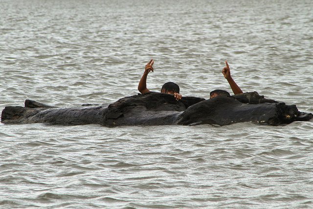
Ujong Manggeng Estuary
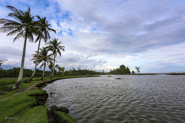
After observing the river estuary at Kuala Lhok Pawoh, Manggeng, Southwest Aceh, at coordinates 03°37′12.1″N 96°53′45.1″E (my old post: Whale Bay), we take the coastal route, walk through the sidelines of coconut trees, for the purpose of reaching the estuary of the Ujong Manggeng, Southwest Aceh Regency, at coordinates 03°36′10.8″N 96°54′15.1″E. The distance is only 1.7 km but takes ± 25 minutes. We arrived at the location when it was getting dark, the photo shots didn't have the perfect lighting.
Both estuaries have been used as ports to transport spice commodities during the Aceh Darussalam Kingdom in the medieval era.
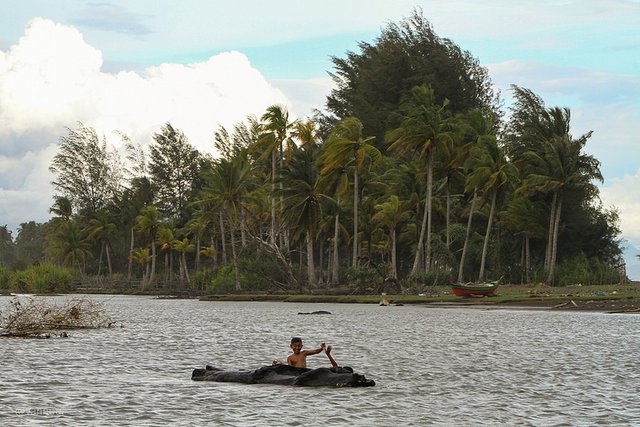
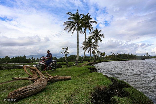
Here are the photos for the Ujong Manggeng estuary.
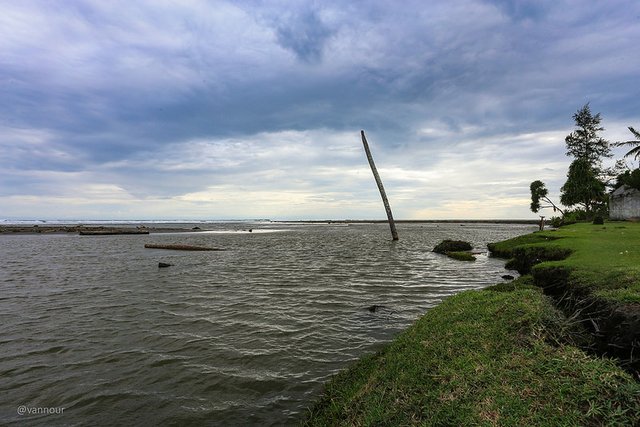
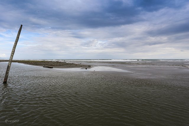

Research Team
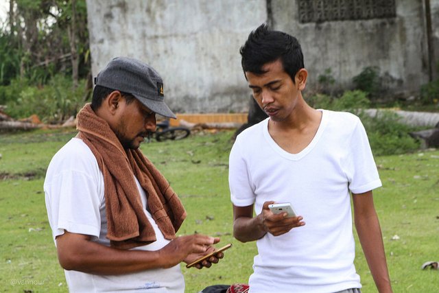
@keuudeip (left) and @safar01 (right) are specifying coordinates on their smartphones.
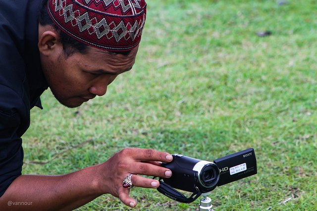
@abelpasai is documenting the situation around location with its small handycam.
Please see my old post about a trip for scientific research sponsored by @mapesa.
- Welcome to Rest Area Rigaih
- Seunagan River Estuary
- Kuala Batu or Quallah Battoo (History, Life and Nature)
- SteemitPhotoChallenge #50 Long Exposure - Entry2: Meukek Bay
- Track The Traces Of Aceh Civilization
- The Monkeys Ask For Alms
- Ancient Fortress of Trumon
- Whale Bay
- Ancient Cemetery Complex in Trumon
- The Ancient Flag in Trumon
Very nice informatoin
Nice Information
Nice shots. also check my channel ;)
Nice picture
that is quite an adventure! Nice!
Upvoting and folowing you!