St Spirit Peak
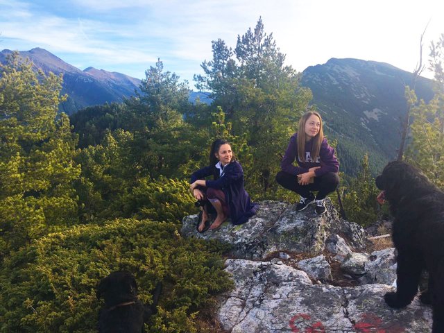
St Spirit is one of the peaks in the parts of the mountains visible from the town and the villages around it and from here it looks so close. When we started our hike some local people told us that it takes around an hour to go there. I suppose they've never been there, as the whole hike took us 6 hours in both directions.
I really wanted to go there as I see it every day since several months and also because I read that there are some airplane remains around the peak from an accident 47 years ago. The peak is difficult to access, the hike is 8 km long, the pathway is pretty steep at some places and the difference is the height of the first and the last points is 1000m.
We didn't see any remains, but it was really nice up there.
We were 5 people and 2 dogs so organizing, gathering and leaving the town took us more than an hour and we started our hike pretty late. One of our friends, that was with us, don't hike that much so for him our light "walk" was like a punishment and he didn't feel very well. We had to wait for him all the time and in the end he gave up shortly before the end and stayed there to wait for us.
The first part of the hike were steep and confusing forest roads through the most peaceful, quiet and magnificent forest. There was no one else there except us and the air was exceptional - so fresh and scentful.
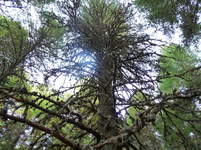
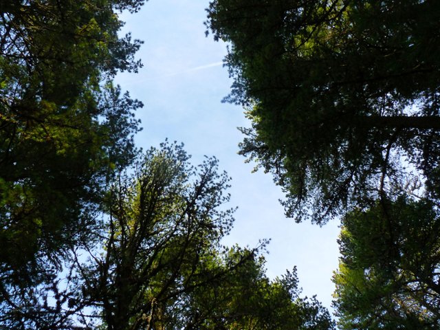
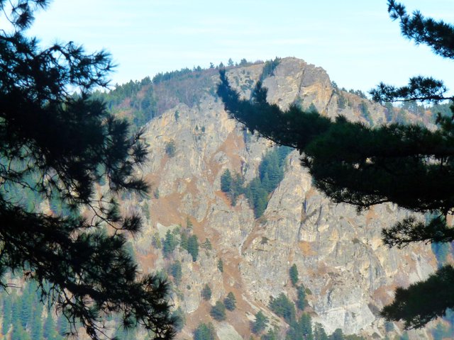
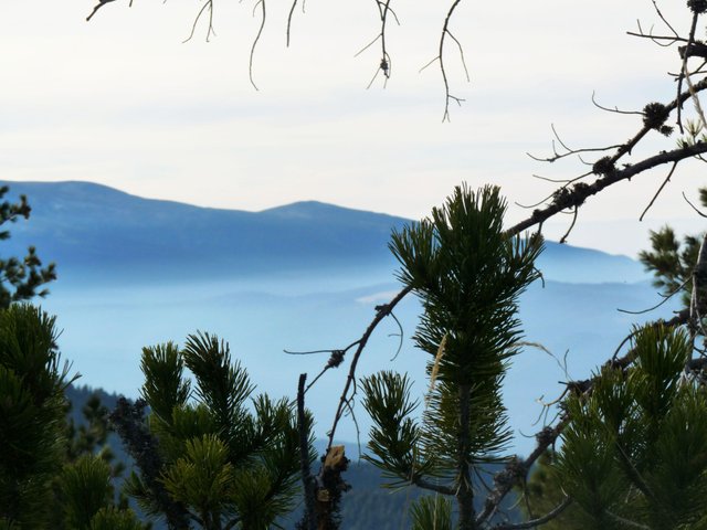
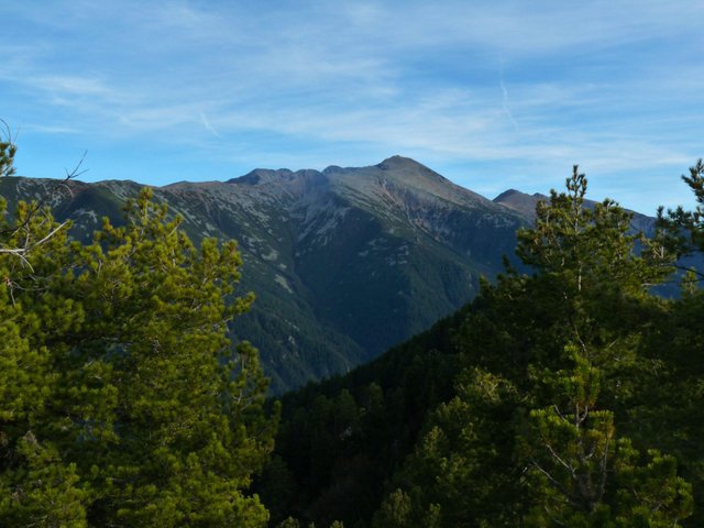
Our first view after a lot of walking upwards through the forest
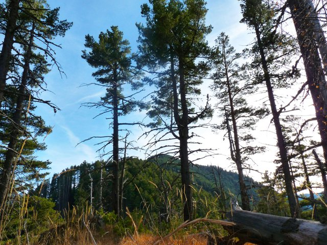
The peak behind the trees is St Spirit. It looks really close but actually from that point we had to go down a lot and go up again. There was no pathway after that.
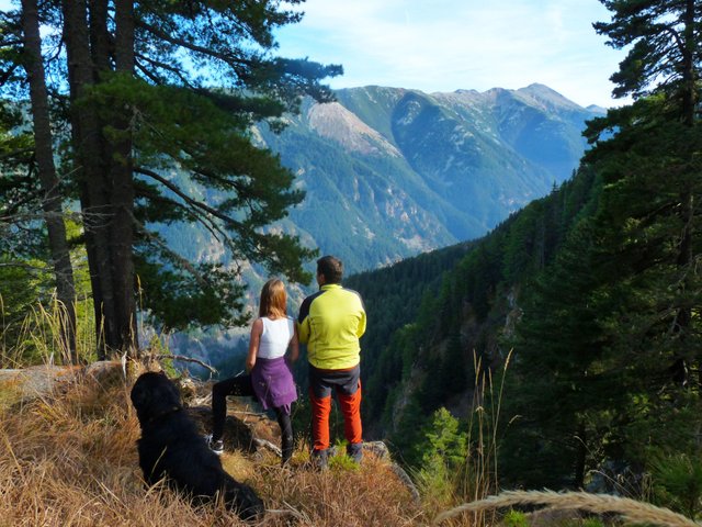
...so we stopped there for a quick rest to enjoy the beautiful view
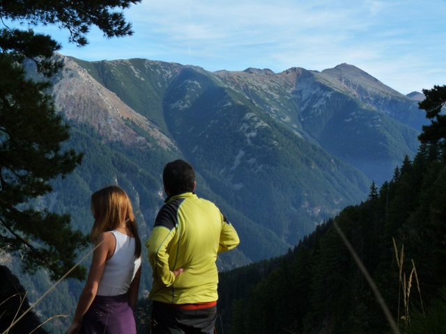
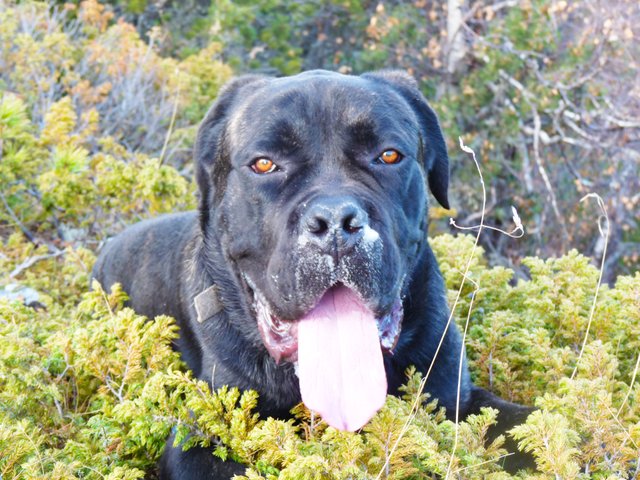
On the top. St. Spirit Peak - 2122m:
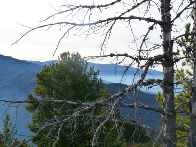
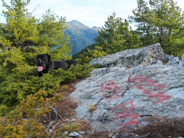
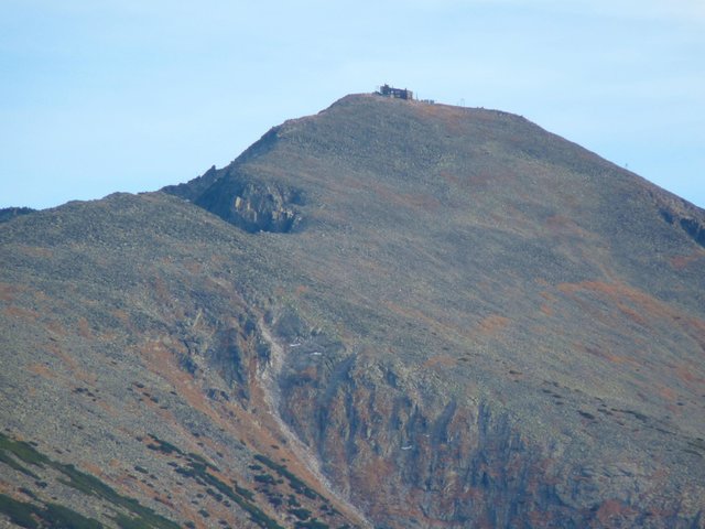
Musala Peak
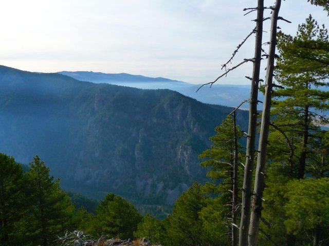
You can check the view from the rocks in front of us here .
We didn't have much time to hang around and seek the remains of the airplace, because two of the other hikers had some job to do and they were in a hurry. So we started descending shortly after we reached the peak. I stopped only to take the next two photos as that view showed up through the trees at some point and then continued even faster walking down.
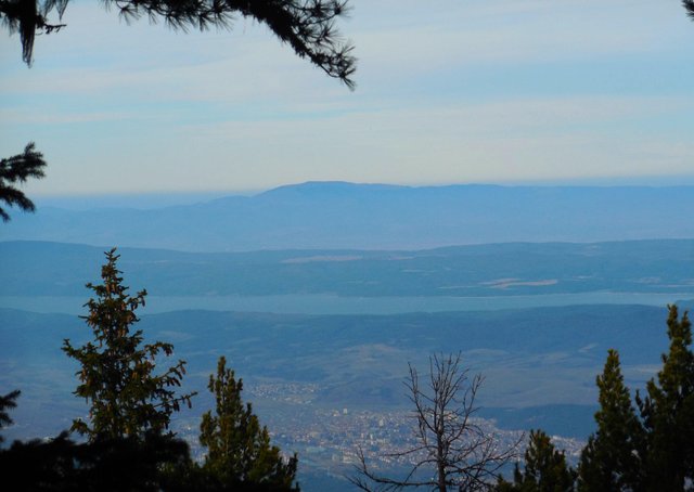
Samokov town and Iskar Dam
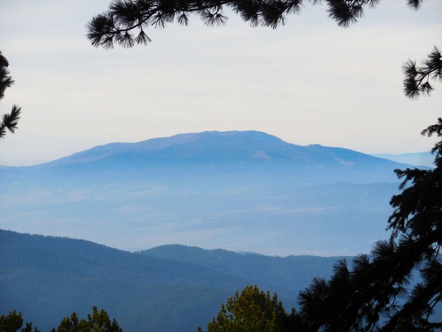
Vitosha Mountain
I couldn't wait to come back as no one of us had water anymore, because we all thought it was going to be a short hike. It was really tiring, especially the last part when the pathway ended amd I was thirsty. After 15-20 minutes descending,I realized that I left my camera up there where I took these photos. I was so tired that even thinking about going up could make me cry, but I had no choice, I had to go back. Luckily I found it, because I knew when I left it and one of my friends knew exactly where the place was. It was more complicated as there was no pathway and I didn't remember where exactly I was walking, but after hanging around the hill for a while we saw it. The days are already too short, so it was getting darker and we had to run on our way back also because our friends were waiting for us. Running so tired, the dark and the steep pathways made it quite a great adventure, but still I was really happy when we were back near the car. It was a beautiful day :)
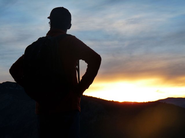
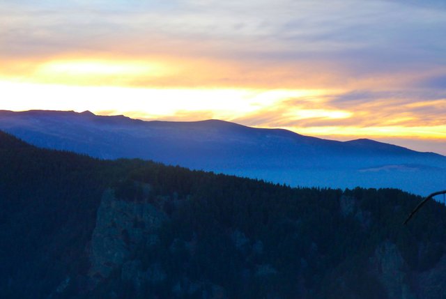
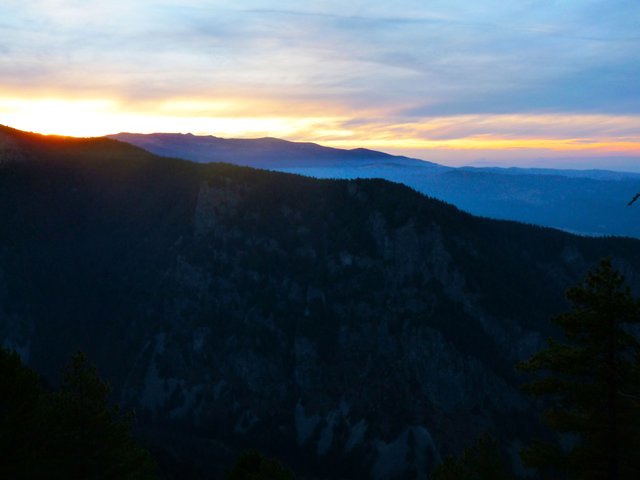
The peak from Samokov in one of the last days without snow in the mountains.
Thank you for reading!
Congratulations, Your Post Has Been Added To The Steemit Worldmap!
Author link: http://steemitworldmap.com?author=danielapetk
Post link: http://steemitworldmap.com?post=st-spirit-peak-956d1d88a6e4cest
Want to have your post on the map too?
Thanks for using eSteem!
Your post has been voted as a part of eSteem encouragement program. Keep up the good work! Install Android, iOS Mobile app or Windows, Mac, Linux Surfer app, if you haven't already!
Learn more: https://esteem.app
Join our discord: https://discord.gg/8eHupPq
Congratulations! Your post has been selected as a daily Steemit truffle! It is listed on rank 18 of all contributions awarded today. You can find the TOP DAILY TRUFFLE PICKS HERE.
I upvoted your contribution because to my mind your post is at least 4 SBD worth and should receive 149 votes. It's now up to the lovely Steemit community to make this come true.
I am
TrufflePig, an Artificial Intelligence Bot that helps minnows and content curators using Machine Learning. If you are curious how I select content, you can find an explanation here!Have a nice day and sincerely yours,

TrufflePigHiya, @livinguktaiwan here, just swinging by to let you know that this post made the Honorable mentions list in today's Travel Digest #374.
Please drop by to check out all the rest of today's great posts and consider upvoting the Travel Digest if you like what we're doing.