Hike at Eineåsen, Rykkinn
Today we've been doing a thorough hike in forests and hills in the Oslo area. We followed a geological/cultural trail, some 23 info posters were hung up at interesting places with interesting facts; some of those were also marked as view-points or tourist attractions on the map. I'd recommend this trail for anyone interested in geology and history. We did run a bit out of time (our hiking trip started around 18; we planned to start at 12), so we had to cut the trail short. We started at 150 metres above sea level, at the highest we were 270 metres above the sea level. It's not that much climbing, but the hills were pretty steep.
The two first posts were presentations of the three major layers of rock; the bottom layer of rock was sedimentary, old sea bottom - and then the next two layers were created by lava flows. I only started taking photos at post number three. That was a fantastic viewpoint.
This first photo doesn't really give any justice to the reality; the height difference between the trees that are near and the trees that are further away was quite impressive.
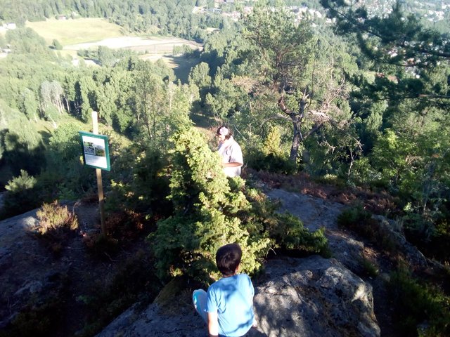
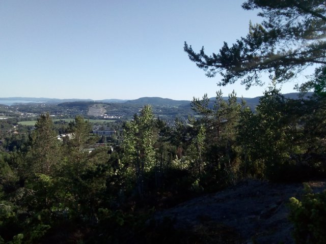
Here is some of the panorama. The hill at the other side is Kolsås. Oslo fjord can also be seen, to the right of Kolsås.


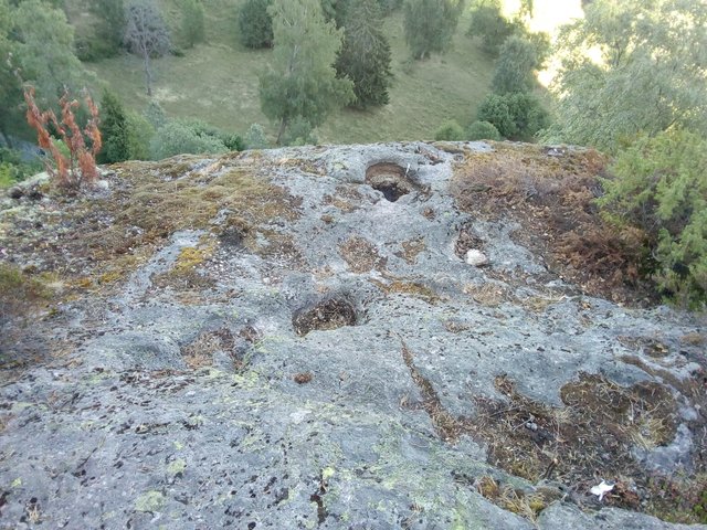
The post was not about the view, but about those cavities in the ground ...
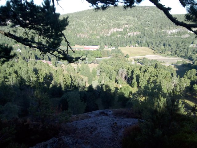
According to the legend, those marks were made when Olav den hellige was chased, he let his horse jump all the way from Kolsås and across the valley, landing here. The most recent explanation is that the marks were made from gases in the lava stream.

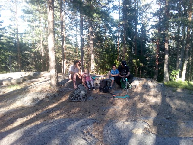
I think every child should learn to operate a knife ... well, that's something we've more or less forgotten after moving to Oslo, only our eldest son have had his very own knife. This is our friend and his son - he has his own knife, but now he's borrowing his fathers knife. I was probably a bit too worried as he almost managed to cut his father, as he was repeatedly turning the knife towards himself, and (worse of worse), his hand was sliding from the handle, he was holding too far down on the knife, I'm sure he would have been bleeding awfully if I wouldn't yell at him ... oh well, I have too many painful memories from my own childhood :-)

We did another pitstop on the way from post 3 to post 4
Post 4 was this small iron ore mine. 6 metres deep.


From post 4 we did a shortcut and were heading directly towards post 20.
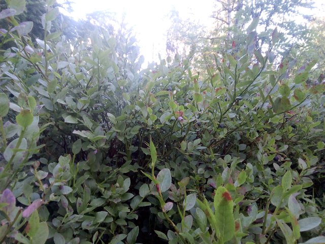
Most of the blueberries aren't fully ripe yet, but we did find some ... and my wife also found wild raspberries and wild strawberries.
I'm from the north of Norway, we don't have any snakes there ... so this is only second time I've seen a live snake in the nature - but then again, this was a slowworm, according to Wikipedia it's actually not a snake but a lizard! Unfortunately this is the best picture I got of it (can you see it?), though my wife got more.

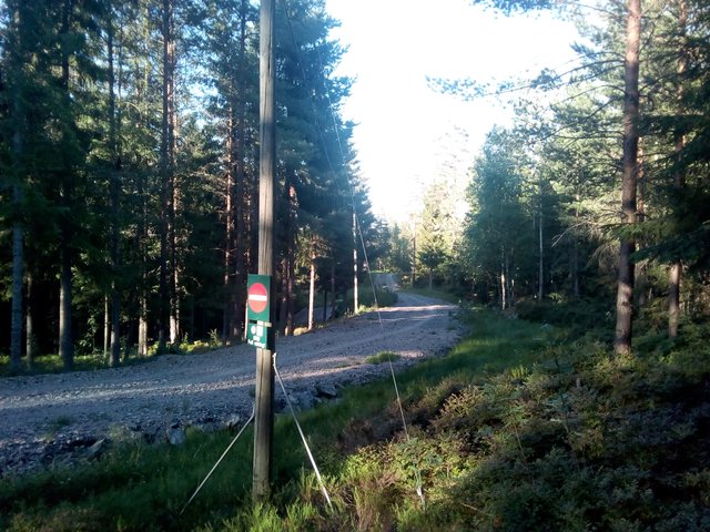
We met the road several times, and it looked a bit tempting to follow the road rather than the trail we were doing - but according to the map, the road was doing many detours. The reason is that it isn't a car road, those roads are primarily for making skiing tracks. The sign says "turn around - wrong direction!", meaning that the track is meant only for one-way (skiing) traffic.
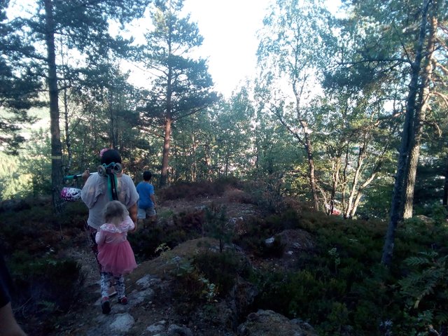
Another viewpoint
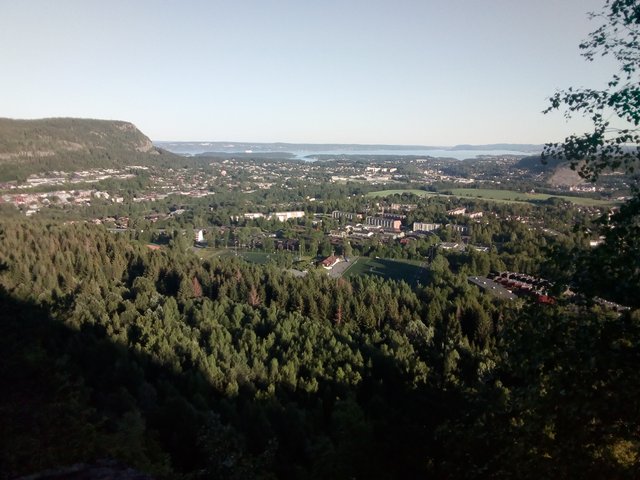
In another recent post, I pointed out that Demark is only sand, sand, sand and more sand, while Norway and Sweden is rocks, rocks, rocks and more rocks. Here is a picture of ... rocks.
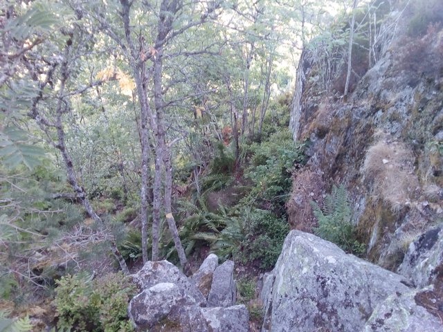
Although our decent looks pretty easy at this picture, there was several places where it was too difficult for our daughter, I had to first try to find a steady foothold and then receive her. She trusts me a lot, jumps into my arms ...

More rocks
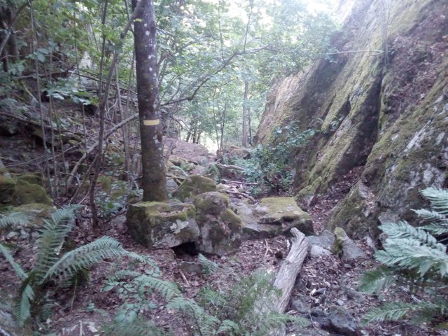
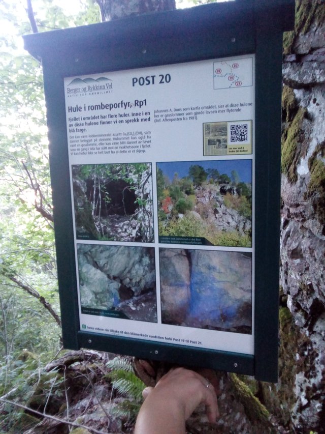
And a cave (post 20)
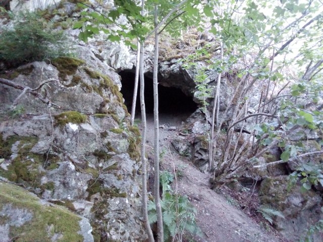
The poster hints that it's not known how the cave formed, but apparently the most recent and most probable reason is gas bubbles trapped in lava streams.

I think I spotted the border between the two distinct lava flows again, Rhomb Porphyry vs Basalt - though, didn't manage to get any good photo of it.

Hm ... a bit scary to look up and see that I actually have cliffs also right above my head!

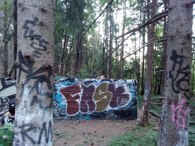
Post 19 ... an old wall used for a shooting range. I suppose they had the targets on the top of the wall and people behind the wall who could signal if it was a hit or a miss.
We went back a bit for post 18, it was even marked as an attraction on the map ... but when we saw that it was located 200 metres in a steep uphill, we decided to skip it.
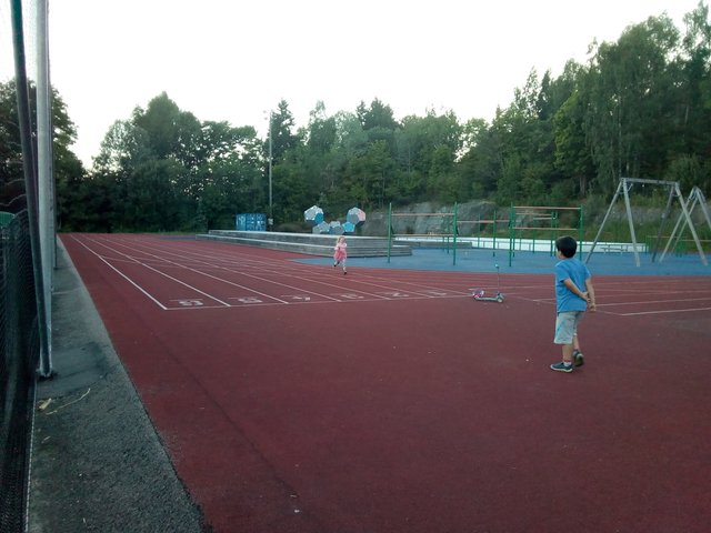
This picture is from the local sports arena. Looks like those sitting benches may need some maintenance.

We adults are quite exhausted after the trip, but the children ... where do they get all their energy from?
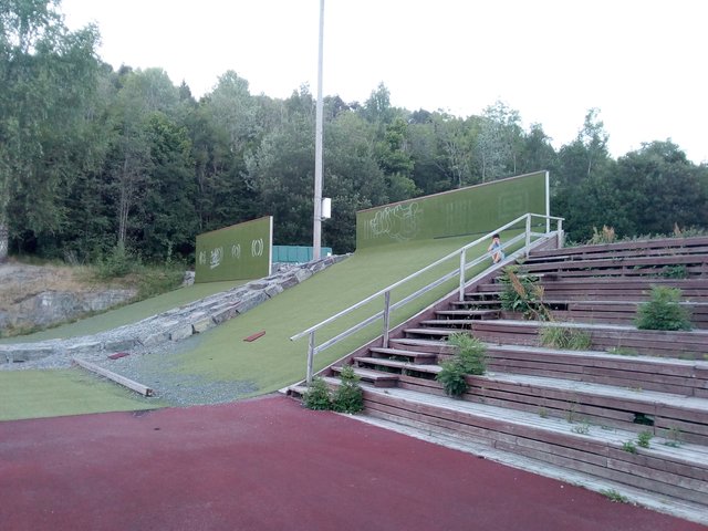
I'm a bit curious what those hills and those walls are for
Our boys are in Tromsø now, I guess they were climbing a bit more than us today
There were different reasons why we were so late for our trip today. Quite much comes from our side, we're always late getting out of the house as well as bad at planning. Then there were some madness when we finally came (driving) to the west side of Oslo. Our friend had already left home and went towards the forest before our arrival. I'm quite sure the agreement was that he would share his location through Google Maps and we would go to his location. While waiting for his location sharing, I decided to share our location with him. When we got his position, I pressed the button for "navigate" and off we went. I was wondering a bit if the navigator would point us towards some fixed location or if it would update the route if our friend moved - eventually I got the answer, it was following a fixed point. Our friend somehow decided that we had become stuck, so he decided to try to follow us - so he drove back to where we had been when we turned on the location sharing. We were playing cat and mouse and were wasting some 45 minutes on that. Crazy! My wife got fed up and stopped the car at a parking, so we could wait it out there - but she forgot turning off the lights. This car still has the old-fashioned halogen lamp bulbs, and somehow we ran out of battery while waiting, so we had to tow the car to the top of the hill and roll it down to start it. Decades since last time I did that (but I was frequently starting the engine of my previous boat by hand-cranking). We decided to stop by our friend to pick up starting cables in case we wouldn't get out from the parking by the forest/hill ... but then our friend decided it was already dinner time. The plan was pizza ... but they are Spanish/Portugese, so "just some pizza" won't really do, there were lots of food prepared, we started our hiking on really full stomachs, and we lost quite some time due to all the food being prepared/eaten.
All photos taken are available in full resolution on IPFS QmeUn2kgSysKEQsryszKvcWaJNL2gkXeKWs2xMtsWKxg9c. Photos used in this blog post is available at IPFS Qmeer5QFrhviCd5bHHwCWLsbRz54zDncMN4zZh3n7iCRtk. License: CC BY-SA 4.0
I hope you don't feel like I'm spamming your site with unwanted comments. Since I receive your feed I just take a quick look and then usually get sucked in by the content, pics, etc.
The Sports Arena:
There's a playground there and it looks like a clay surface like a tennis court, there's a running/sprinting track and what ARE those hills with walls at the top? Almost looks like extreme bicycle or skateboard set up. Is it a painted or outdoor carpeted surface?
So if Norway is sandy and Sweden and Denmark are rocky it is presumibly because the North Sea has pulverized the rocks to sand in the West, right? And looking into it recently I read that the North American Appalachian mountains trend into Northern Europe right through those Nordic countries. even the blueberries must be related.
No clay, it's all shock-absorbing rubber/plastic, I don't remember but maybe the green is some kind of artificial "grass". For extreme biking? Maybe ... but I don't know.
Oh much better yet as a rubberized, plasticized surface! Clay was the state-of-the-art for its time.
The hillocks are probably courts of some kind (no kid with a ball could fail to invent some game with it) but then no skateboarder or trick cyclist could resist doing tricks on those little hills. Maybe that's why they put a little curb at the bottom which left unsupervised would become set up as a jump ramp.
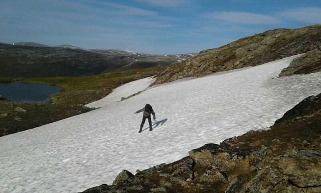
That iced snow from the last picture is so dangerous. I felt on something similar once and slide until I hit some rooks. It may seem fun to walk on it, but it's a tricky fun. I wouldn't step again on something like that. You really have "no breaks" on it.
One should be aware of what one is doing, I have had friends that have had pretty bad accidents, and I also know people who didn't survive, falling down mountain slopes.
In the summer time the upper layers of the snow is usually quite soft, and one can easily slide down in a controlled manner, steering both the direction and speed with the feet - it can be both great fun and a fast way to get down the hills.
Congratulations, Your Post Has Been Added To The Steemit Worldmap!
Author link: http://steemitworldmap.com?author=tobixen
Post link: http://steemitworldmap.com?post=hike-at-eineasen-rykkinn
Want to have your post on the map too?
Those are some bad ass pictures.. my favorite is probably the cave... even tho i'm claustrophobic..
Sucks having to roll start the car.. but at least you had a hill.
Some two decades ago I borrowed an old '79 Audi. The deal was that I would either buy the car or provide the owner with a new battery after I had borrowed it, I chose the latter - but I was procrastinating it a lot - so every time I would park the car I parked it at the top of a hill. It worked out very well, that car was very easy to start like that, petrol car with fixed magnets in the generator. Newer cars come with electromagnets in the generator if I've understood it right.
In the same period I also borrowed my stepfathers quite new VW golf. It was with lots of electronics, and it was a lemon - there were problems with the electronics all the time. So while I was borrowing it suddenly it was impossible to turn off the parking lights (except by pulling out some 2-3 fuses from the fuse panel). As long as I would drive with it every day or at least every second day it was fine. It was a bit funny, I was doing my military service and the car was left at the parking inside the military camp - lots of people passing all the time, and I didn't lock the car. For my colleagues having a view towards the parking it was great entertainment, because every now and then someone would enter the car and try to turn off those lights. In a weekend I went for a hike with my girlfriend, we parked at the top of a hill, and I didn't bother to take out those fuses. It was impossible to start the car when we came back, didn't help to roll it down the hill.
upvote for me please? https://steemit.com/news/@bible.com/6h36cq
@tobixen
I love hiking, wish I could be a part of such awesome journey..
the climb on a steep hill full of rocks is very frightening. the is indeed a brave man.