Four Days and Nights in the Cold Himalayan Desert- Kinnaur and Spiti - part#1. Sangla and Chhitkul
Hi friend,
Kinnaur and Spiti are the driest regions of Himachal Pradesh. You can judge the statement with the fact that Dharmshala gets the highest annual rainfall of about 1500 mm, while Spiti gets about 50 mm, and the two places are few coordinates away from each other. In my 1st post here on Steemit, I wrote about my trekking through the toughest trek of India which takes you to the holy Shrikhand Kailash peak. Somehow the post has got ignored, but you can visit it for details. As I told you in that post, I met two guys Naren and Rahul from Solan, and we thought of riding our bikes in the deserted land of Kinnaur and Spiti.
This was nothing pre-planned. First of all I could not think of taking a 100 cc bike to those sandy dusty roads of this cold desert, and second I didn't know much about the place. But somehow it came first out of my mouth. You know, there is always excitement in doing something unplanned and dangerous. In this post I am taking you with me to this beautiful cold region of Lamas.
Our first destination of this trip i.e. Sangla valley and Chhitkul village has a lot of greenery, while others only have silty sloped mountains, but man they are beautiful. So follow on.
Chhitkul - the last Indian village on India-Tibet border
It was already 5:30 PM, we had 2 bikes, mine was 100 cc, so Rahul and Naren were on the 220 cc pulsar. We fueled our tanks at Rampur(Shimla), and our target was to reach Sangla till evening. The main highway through the Kinnaur region is double laned and tarmacked till Karcham, but with few stretches of Katcha road. River Satluj flows very ferociously and also close to this road.
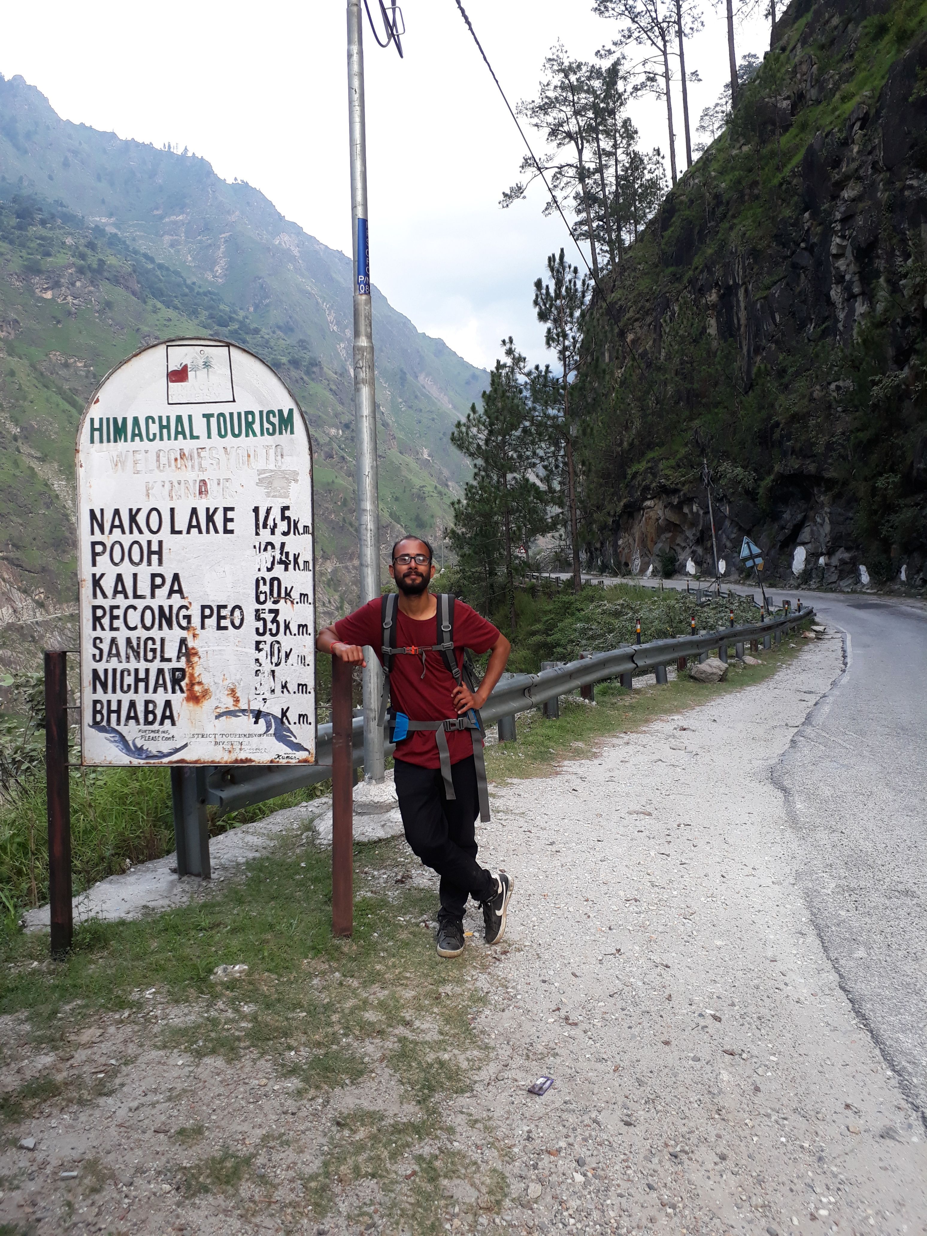
(Naren and the Distances)
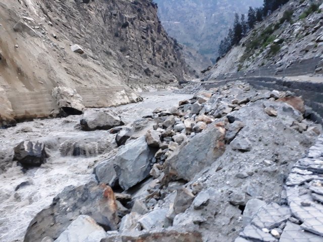
(Satluj and its closeness with road)
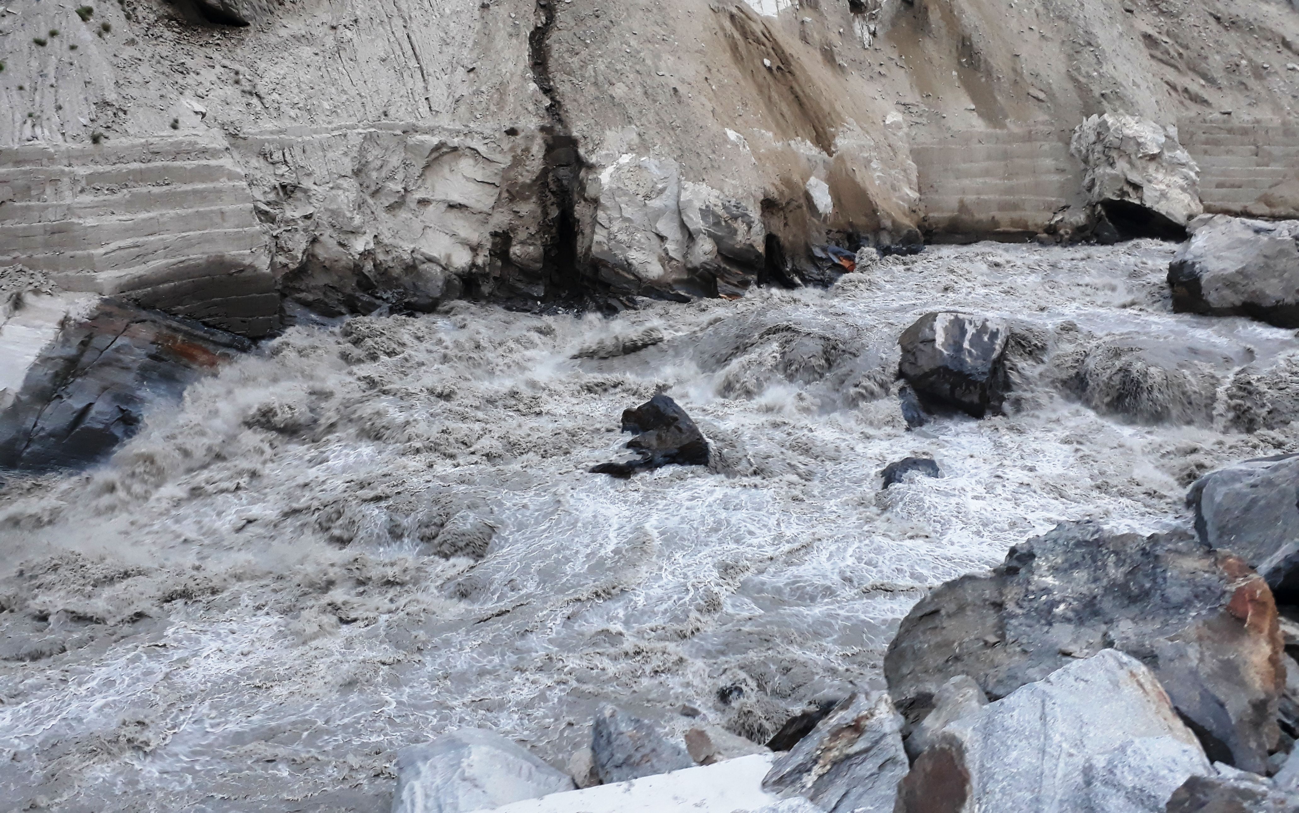
(Ferocity of Satluj)
Please stay away from Satluj, it is very infamous for its vindictive nature. At Karcham a single lane pakka road offshoots from this arterial double lane road, and after riding about 22 kilometers on this, you reach Sangla. The Baspa river flows parallel but at a lower elevation, and valley becomes narrow and deep. The valley is named after it as Baspa valley but popularly known as Sangla valley. Have a look in the image below.
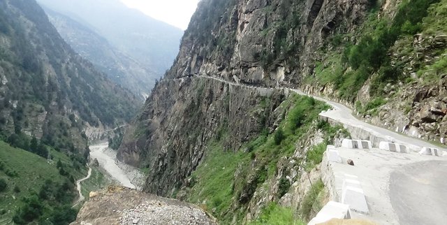
(Baspa valley and the road to Sangla)
When we reached Sangla it was already 8:30 PM, reason for late was the bad road. It is heavily potholed in the last 4-5 kilometers and along with the night factor dust was disturbing. The snow and ice is to be blamed for the road condition. We rented a hotel room which was nice as per our standards. We didn't want a TV or internet, and it didn't have. We just needed 2 beers and that we got.
They charged only rupees 600 for that room. We were tired off by the 40 kilometers Shrikhand Kailash trekking, and we just wanted to sleep. Geyser was available, so we took bath, ate the meals, and slept a good night sleep. In the morning we rode our bikes to the Sangla village. It was another 20 kilometers of Kutcha and single lane road. Valley gets wider and mountains become a little shorter as we reached near to Chhitkul. This is the sign of getting nearer to the tibetan plateau.

We reached the last village of India in about one hour. In between we met a ITBP checkpoint where one has to prove his identity. A big gate welcomes you in Hindi to this border village.
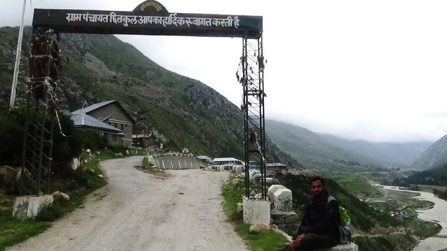
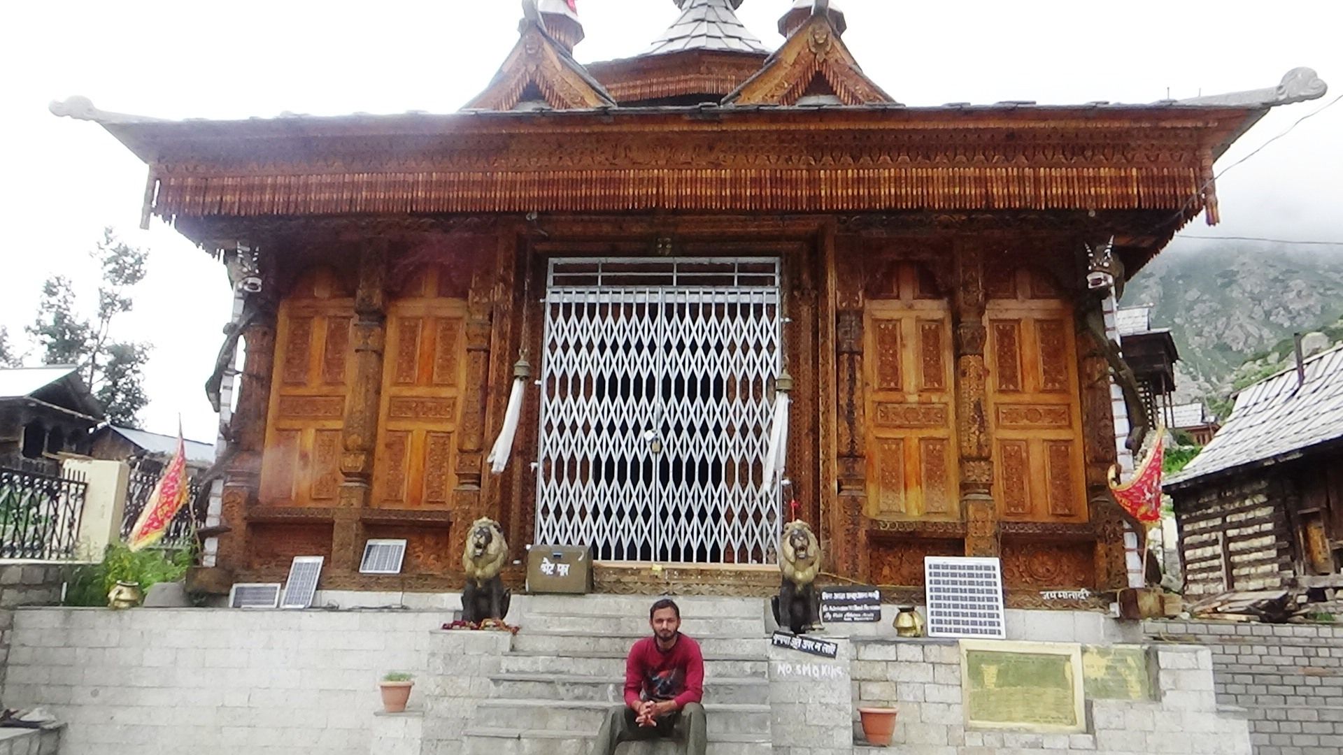
(A cloudy noon at Chhitkul village)
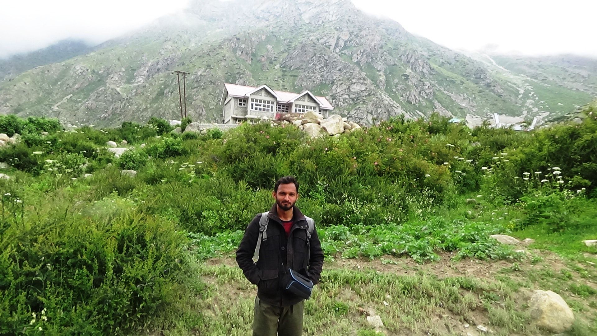
(HPWD Govt. rest house in my backsight at Chhitkul)
Along with the govt. rest house one can stay at other private hotels. Charges would be between 1000-2000 rupees.
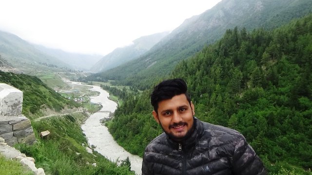
(Rahul and Baspa valley expanding its horizon at Chhitkul)
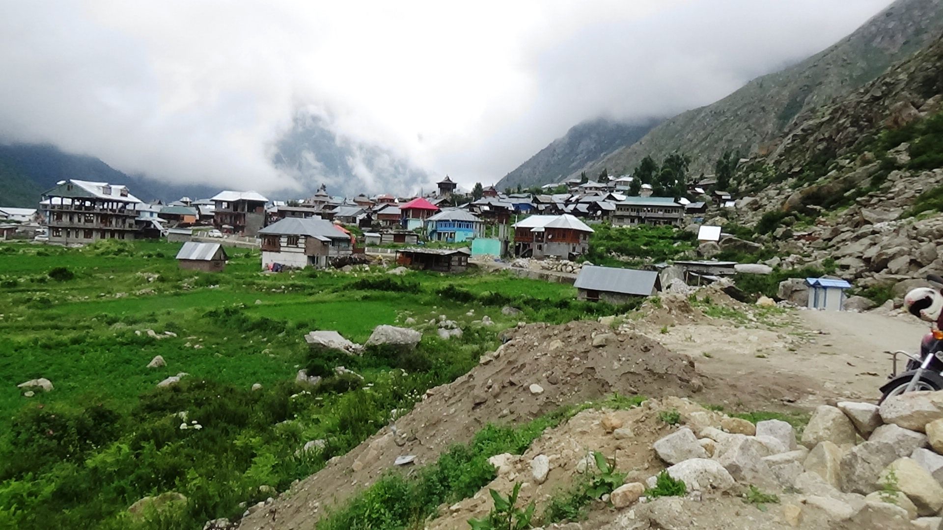
(Chhitkul village from a distance)
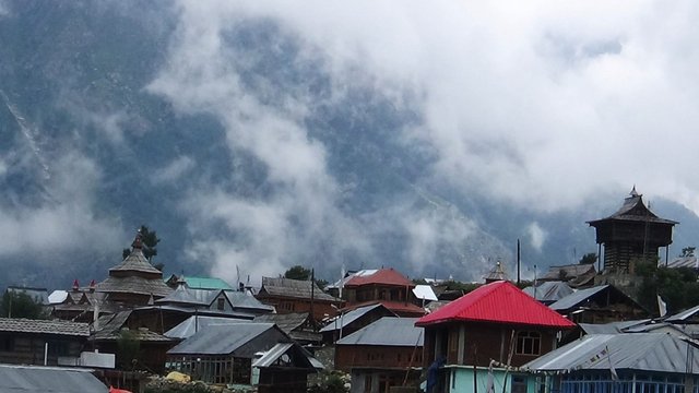
You can see that the village has new and old homes. Old ones are made of stone, wood and slate roofs, while newer ones are of RCC and tin. There is a very good sanitary system that runs through houses. A guided stream runs through the village, which is used for day to day works, such as washing cloths etc. The village has a temple dedicated to their deity, where people gather weekly or monthly for the prayer.
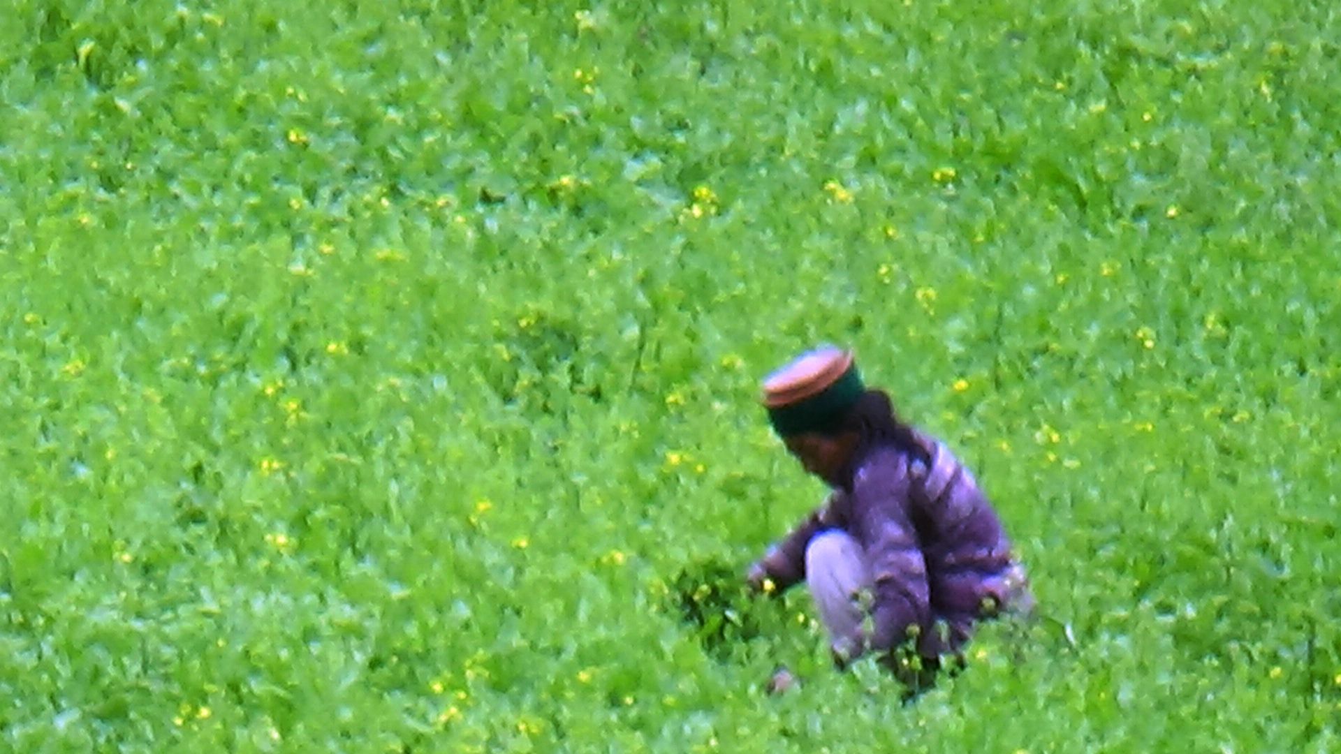
Village has a strict code of clothes. Men and women both have to wear this Himachali cap.
They wear it even when they work in their fields. Have a look at the woman working in a field seemingly planted with mustard plant.
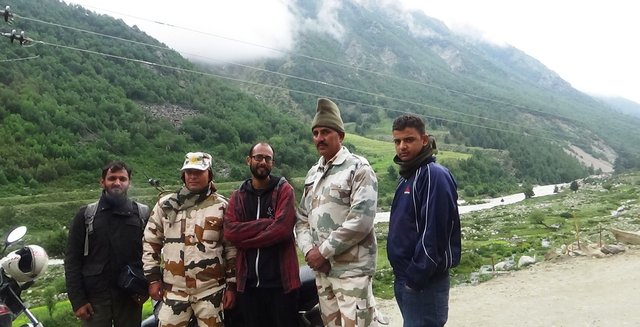
One can go only 3-4 kilometers beyond Chhitkul village, where another ITBP checkpoint checks your identity and sends you back if you are without a special permission to go beyond. We chatted with them for a while, they were friendly when we told them that we were natives of Himachal Pradesh. The border must be only about 15-20 kilometers from here, but people are not allowed to pass.
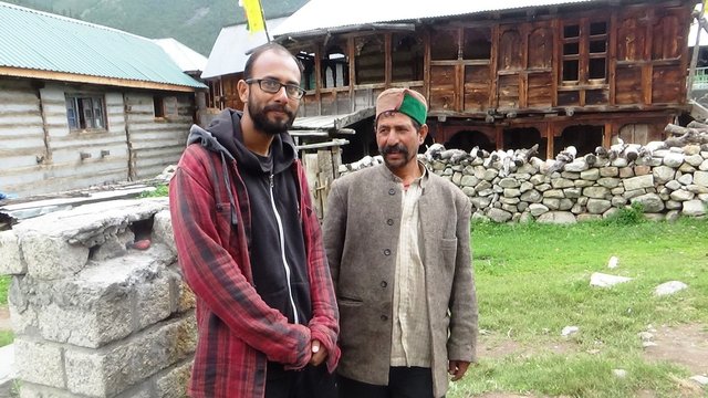
We came back and rested for a while at the govt rest house Chhitkul. I also met one of my acquaintance and together we sipped a cup of tea. We reached back Sangla in after noon, and we would not stay at hotel. Our next destination would be Nako village. That part of the story I would cover in the 2nd part, so wait for it. I hope you enjoyed.
Thanks for the kind visit.
You may also like to read my Trekking stories.
Wild Himalayan Treks #3 - Trekking up to Kareri Lake at 2934 metres - A story of overconfidence and learning -part.2
Wild Himalayan Treks#2- Personal Account - Parashar Lake in Himachal (India)
Wild Himalayan Treks#1 - Visiting Tunga Mata Temple- 9 km Uphill Trek surrounded by Deodar Trees
holy crap, those roads, I am guessing a butt work out and plastic bag ready for me. haha
Yeah you need strong buttocks, haha.
thanks a lot for reading. :)
Thats great time u spend ...nice
Upvoted and followed
This was adventure. Thanks and you are welcome. :)