Scouting For Dispersed Camping Spots In Big Sur
In a previous post, I identified an apparent area of Los Padres National Forest near Bixby Bridge in Big Sur. It's odd though as this region is not shown on Google Maps or Google Earth as being National Forest. When I arrived at the Coast Rd intersection with Hwy 1 at Bixby Bridge, I found the following sign:
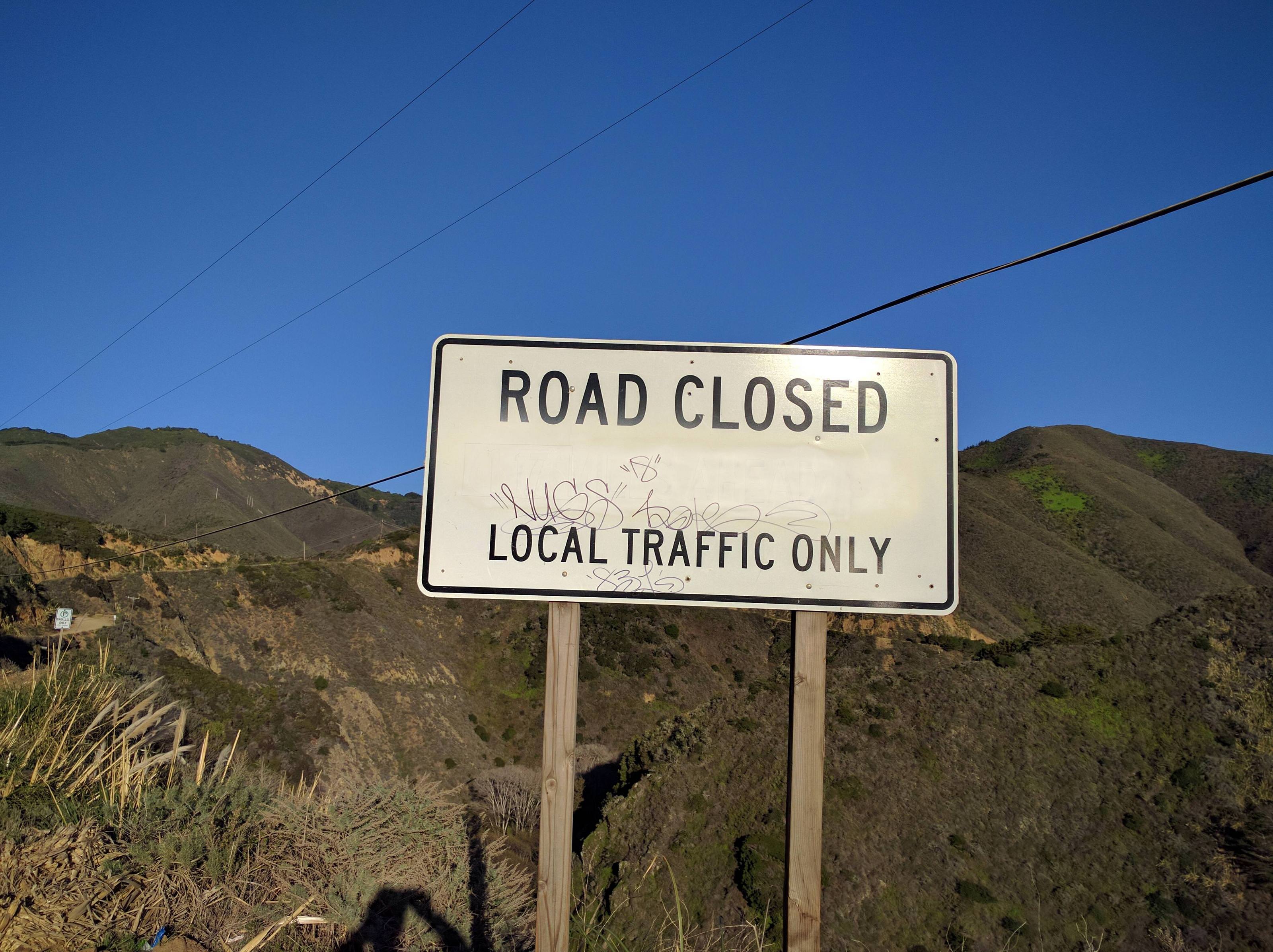
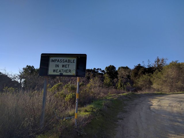
There was no gate or anything so you could still drive down the road. I'm not sure how strictly the local traffic only thing is enforced. There appear to be some houses down the road so it's possible they could report you driving back there, but I doubt they would. I decided to skip going down Coast Rd here and instead continued down to Andrew Molera State Park as I knew there was also a road entrance down there. The road entrance down there didn't have a road closed sign, just a sign saying that the road is impassable in wet weather and some signs that said no camping (darn).
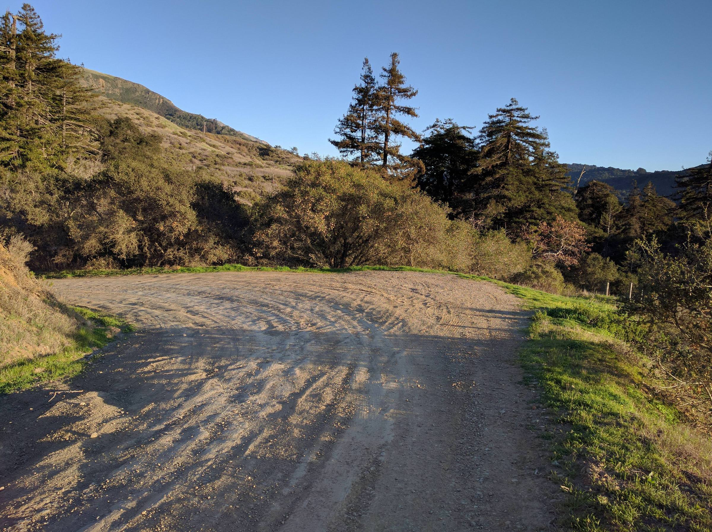
I wasn't sure of the road condition so I hiked up on foot a ways and it looked ok. I then drove up and there were some nice pulls offs but as per the previous signs, no camping in this area.
I continued up the road until I encountered a section with deep ruts. I didn't want to risk getting hung up with my low ground clearance car so I parked and hiked on foot to see what was further up.
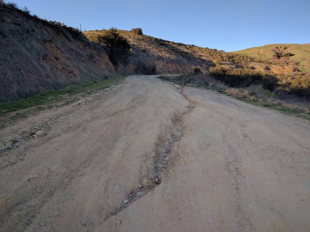
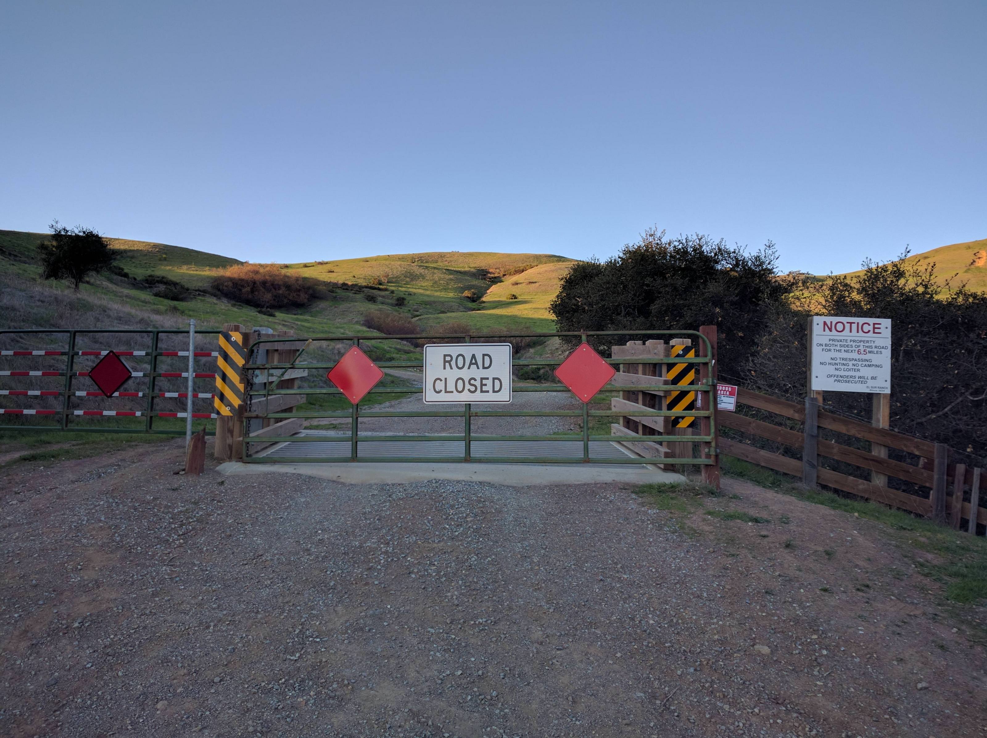
Unfortunately, I was greeted with a gate and road closed sign (darn).
I'm going to contact the National Forest Service and see if it is permissible to travel down Coast Rd from Bixby Bridge and if there is in fact National Forest land that can be accessed in that area for dispersed camping.
I'm excited to see what you find. I've been looking for a place to free camp up there for a long time.