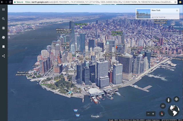
Live Imagery of 🌏 Earth
Planet Labs is a disruptive company using milk-carton sized imaging satellites to help entire industries obtain game-changing data. Planet Labs showcases 175+ satellites in orbit, enabling them to image anywhere on the globe with up to 3.72-meter resolution.
Alternatively, Planet Labs offers a specialized, targeted satellite option called SkySats. Thirteen of these satellites can achieve up to 72-centimeter resolution. SkySats can also capture video, which can be used to extrapolate 3D models. These satellites are built on the same technology that Google deployed to capture crisp 3D image views for Google Maps.
Imagine Google Maps satellite imagery that is live, not months or years old. What could you do with that capability? Farmers, mapping software, construction, maintaining operational control of your logistics supply line, and a thousand other things we haven’t even thought about today. 
Congratulations @kuching! You have completed the following achievement on Steemit and have been rewarded with new badge(s) :
Click on the badge to view your Board of Honor.
If you no longer want to receive notifications, reply to this comment with the word
STOPDo not miss the last post from @steemitboard:
SteemitBoard and the Veterans on Steemit - The First Community Badge.