My visit to Aponmu - The status quo of forests in Nigeria
On Thursday, 31st of January this year, I chose to take a day off work to partake on a field trip with a colleague that just came back from China. The trip was about a visit to Aponmu, a small village surrounded by forest in Ondo State, Southwestern Nigeria. We did not only visit to observe the forest around the village but also to collect soil samples for some experimental analysis which I might still be discussing in my future posts.
The entire forest surrounding the small town is generally referred to as Akure Forest Reserve. Akure is the capital of Ondo State. It is situated along Ondo- Akure road at about 20 km South of Akure, covering a total land area of 69.93 km2and lies approximately on Latitude 7.234502 and Longitude 5.062771 respectively.
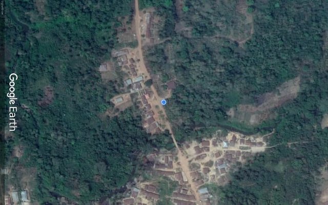
The rendezvous at Aponmu village on Google Earth
From Ile-Ife in Osun State, the journey to Aponmu took approximately 3 hours by road. We set out around 7:30am Nigerian time after gathering the materials such as measuring tape, soil auger, coil corer, permanent marker, sample bags, cutlass paper tape and camera needed for the trip. We got to our pre-arranged rendezvous (see the google earth image above) 11:00 am where we held a small talk with a field guide about the various physiognomies around the forest.
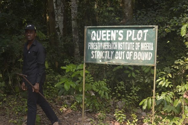
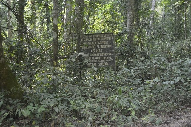
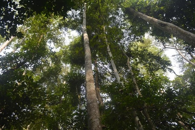
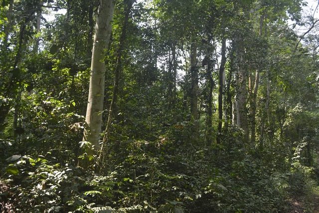
Just like almost every other forest in Nigeria, the Akure Forst Reserve is plaqued with the problem of deforestation and degradation by human activities. Apart from the fact that a large portion of the forest has been converted to human settlement in the form of Aponmu village itself, huge farming activities are also going on in some portion of the forest. The field guide gave us a breakdown of the different physiognomies around the forest which include cocoa plantation area, Tectona grandis (Teak) and Gmelina arborea (Beechwood) plantations, a taungya farming system area, an upland vegetation that is relatively undisturbed, a forest adjacent to a river course (Riparian forest) and a strictly protected and undisturbed forest that typifies a lowland rainforest ecosystem.
Knowing fully well that we have limited time, we decided to check out some of the physiognomies to record observations as well as collect soil samples if possible. The first point of call was to check out the Riparian forest which was just a stone throw away from our rendezvous.
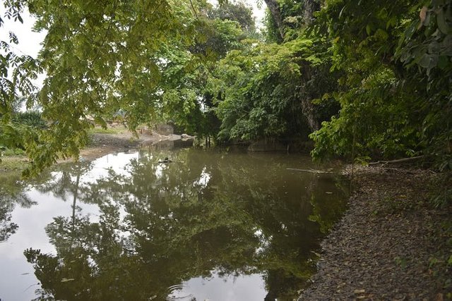
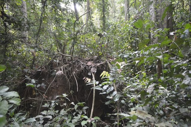
The Riparian forest is imprinted with human disturbance with distinct footpaths and insignia of both fresh and stale wood logging activities.
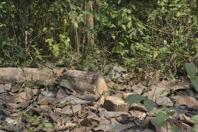
Fresh trail of logged wood in the Riparian forest
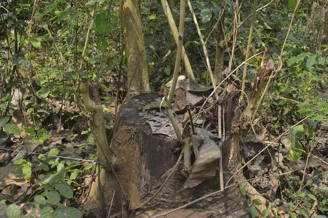
Stale trail of logged wood in the Riparian forest
We decided to measure out two 15m x 15m transient study plots within the Riparian forest and randomly collected soil samples using a bucket soil auger and soil corer (for bulk density). Samples were collected at three points within a 5m x 5m quadrat in each sampling plot.
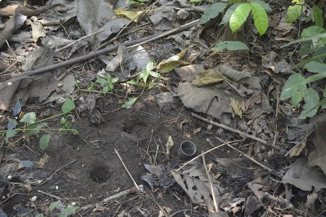
Underground layer of herbs
This post has been voted on by the SteemSTEM curation team and voting trail in collaboration with @utopian-io.
If you appreciate the work we are doing then consider voting both projects for witness by selecting stem.witness and utopian-io!
For additional information please join us on the SteemSTEM discord and to get to know the rest of the community!
This write up shows that government must rise up to the challenges of deforestation. Kudos to FRIN for the strictly protected areas,I think if not for them, the QUEENS PLOT would have been tampered with by loggers. Well done @gentleshaid.......Are you going to stir me up now?
To listen to the audio version of this article click on the play image.

Brought to you by @tts. If you find it useful please consider upvoting this reply.
Hi @gentleshaid!
Your post was upvoted by Utopian.io in cooperation with @steemstem - supporting knowledge, innovation and technological advancement on the Steem Blockchain.
Contribute to Open Source with utopian.io
Learn how to contribute on our website and join the new open source economy.
Want to chat? Join the Utopian Community on Discord https://discord.gg/h52nFrV