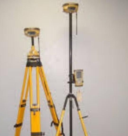
GPS HIPER II
best regards steemit friends. hope you guys are healthy today.
along with the development of an increasingly advanced era, many cutting-edge technology to facilitate human work emerging. did not escape the civil engineering world, many of the technologies found in recent years that are very useful and very helpful to civilian workers in the process of solving their jobs, ranging from field equipment to office support software.
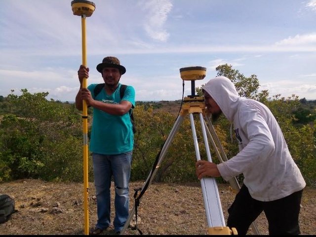
in my work as a surveyor, the emergence of new tools in the field of surveys is also so amazing as hiper gps II. gps hiper II is the most sophisticated measuring tool today even though above there is still GRV, but the same way mareka. ie both receive signals from satellites with two receiver receivers as base and rover.
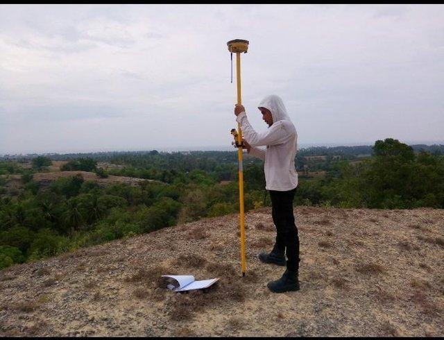
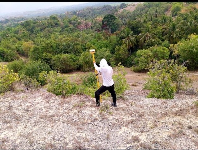
to measure the forest area of gps hiper II more efficient when compared to the total station and theodolite that must first do the clearance of the location in order to target the measurement.
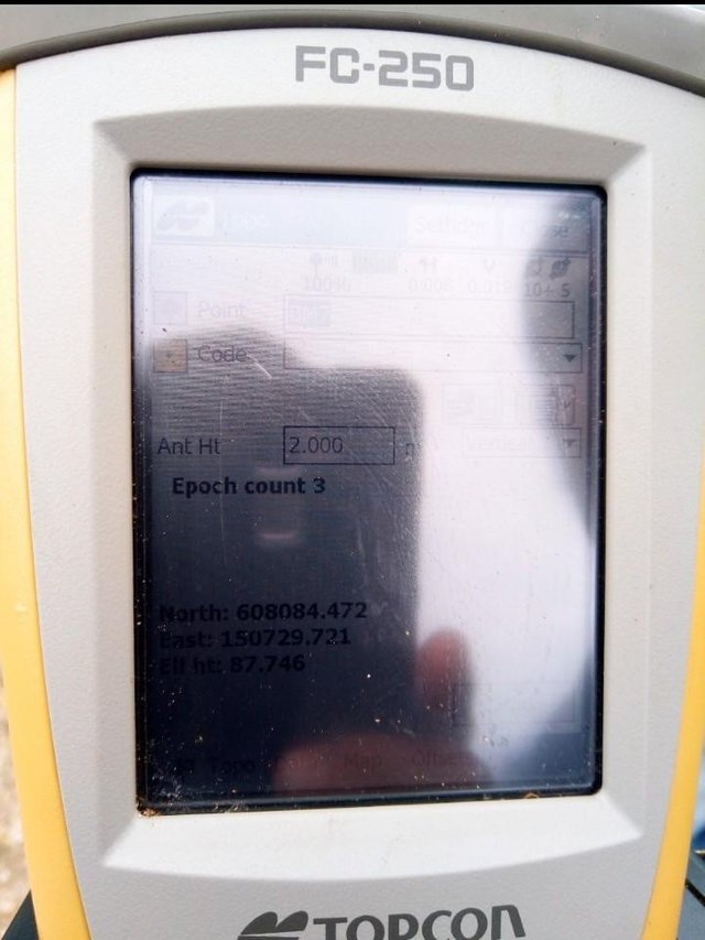
to conduct survey using gps hiper II there are two way of measurement that is static measurement and measurement in RTK (real time kinematic).
static measurement is a fixed and fixed measurement. these measurements are made usually for accurate removal of coordinates of N, E and Z points. how the measurement of the first receiver is installed in a place where the coordinates are known, whereas other receivers are installed at the point to be sought to know the coordinates. to get an accurate value, the observation should be done for a minimum of two hours. As for the accuracy of static measurements can reach a precision of 2 mm, depending on the duration and condition of the location under review.
The RTK measurement is the Movement Measurement conducted to conduct the survey as which usually is like open new land and construction. the workings of this system are a fixed fixed-line receiver as a base that serves to correct the coordinates received from the satellites, another as a rover that serves to perform measurements with the coordinates taken from the satellites and from the correction receiver base.This measurement has an accuracy between 5 -15 mm.
that's a small part I know about measurements using hyper gps II. may be useful.....
regard @abumuhammad

ya ya ya............
krak job sagoe nyan euh
hana pakat-pakat le euh..............
pane ta teujeut pakat pak agus
asissten engineer sinan
bagian tinyoek2........
koen hana mangat lon tinyoek2 eunteuk
hahahahaha................
it's incredible Mr. Abumuhmmad, I love about civil engineering, and what you do is really useful for me, may be useful for others, and for the future more details to explain it about this science.
Thank you for giving me support. Hopefully the future is better
Congratulations! This post has been upvoted from the communal account, @minnowsupport, by abumuhammad from the Minnow Support Project. It's a witness project run by aggroed, ausbitbank, teamsteem, theprophet0, someguy123, neoxian, followbtcnews/crimsonclad, and netuoso. The goal is to help Steemit grow by supporting Minnows and creating a social network. Please find us in the Peace, Abundance, and Liberty Network (PALnet) Discord Channel. It's a completely public and open space to all members of the Steemit community who voluntarily choose to be there.
thanks @minnowsupport for support me...
This post has received a 1.56 % upvote from @drotto thanks to: @abumuhammad.
thanks @drotto for upvote me
This post has received a 1.77 % upvote from @buildawhale thanks to: @abumuhammad. Send 0.100 or more SBD to @buildawhale with a post link in the memo field to bid on the next vote.
To support our curation initiative, please vote on my owner, @themarkymark, as a Steem Witness