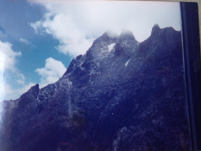
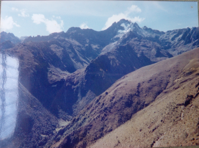
"Bolivar Peak" / @SkinnyGirl | #Club5050

The BOLIVAR PEAK is part of the Venezuelan Andes, which derive from the Eastern Cordillera of Colombia at the level of the El Tamá Nacional Park and its hill El Cobre (3613 meters), south of the Tachira State.
This imposing mountain formation continues towards the Northwest between the Torbes and Uribante rivers at the level of El Púlpito Peak (3942 meters) and the extensive Battalion Wasteland.

At this point the Merida State penetrates, forming the Sierra Nevada de Mérida, separated from the Uribante Branch by the Nuestra Señora river. It is in the heart of the Sierra Nevada de Mérida that Bolívar Peak is located.
| Image | Information |
|---|---|
| Device | Camara Lumix Panasonic |
| Effect | Color |
| Location | Pico Bolívar, Mérida, Venezuela |
| Photography | @skinnygirl |

This is my weekly participation in the contest The World of XPILAR – LANDSCAPE/SEASCAPE PHOTOGRAPHY AND ART CONTEST WEEK #099 – 20STEEM in prizes! – Submissions post, from the #WorldOfXpilar Community, organized by @axeman.
Special thanks to @fuli, @justyy, @steemchiller, @upvu.witness and @xpilar.witness.
Translator: Google Translate.


Excelentes tus fotografías amiga. Éxitos en el concurso.
Gracias amiga @wendyalexa. Es un recuerdo INOLVIDABLE.