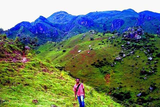
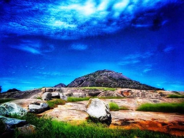
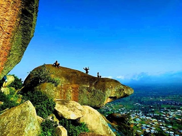
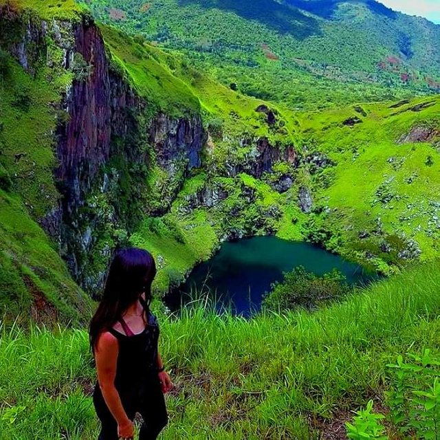
DISCOVER THE WONDERFUL ROCKY LANDSCAPES OF CAMEROON
The country extends from the dry savannas around the Chad lake up to the Atlantic Ocean and the tropical rainforests of Central Africa. In fact, Cameroon's landscape has everything: mountains, desert, forest, savanna, and coast. That's why Cameroon is called "Africa in miniature".
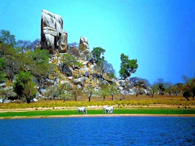
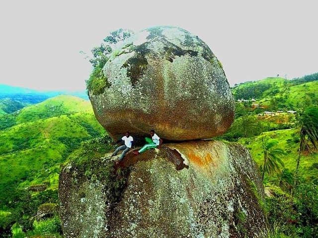
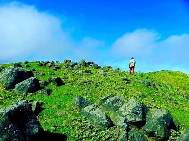
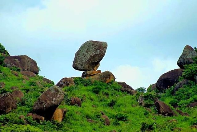
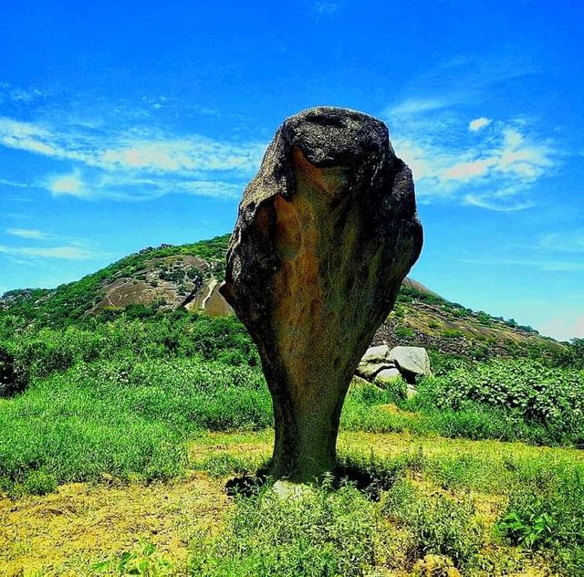
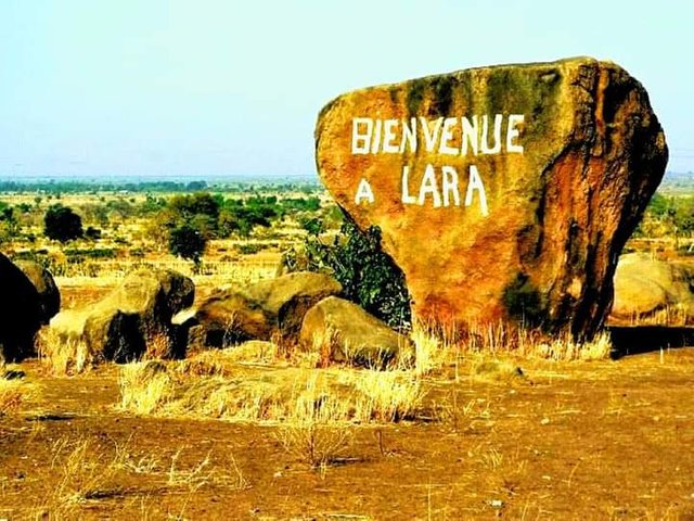
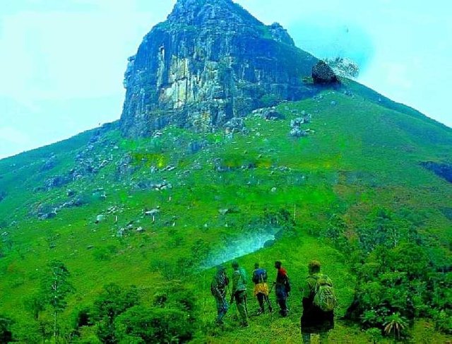
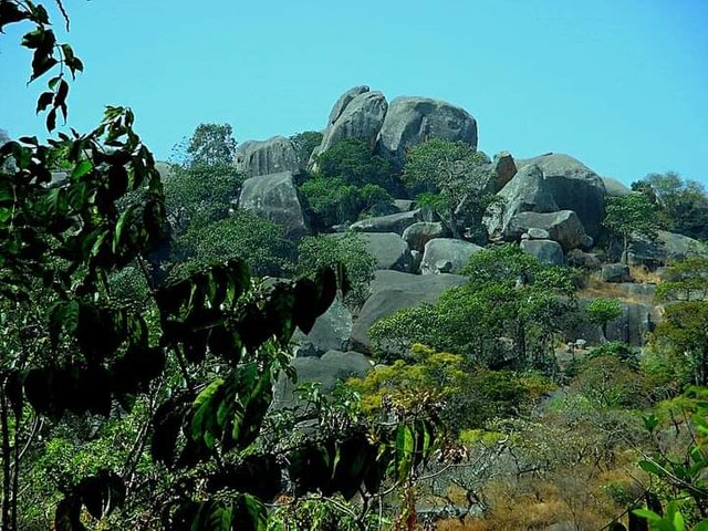
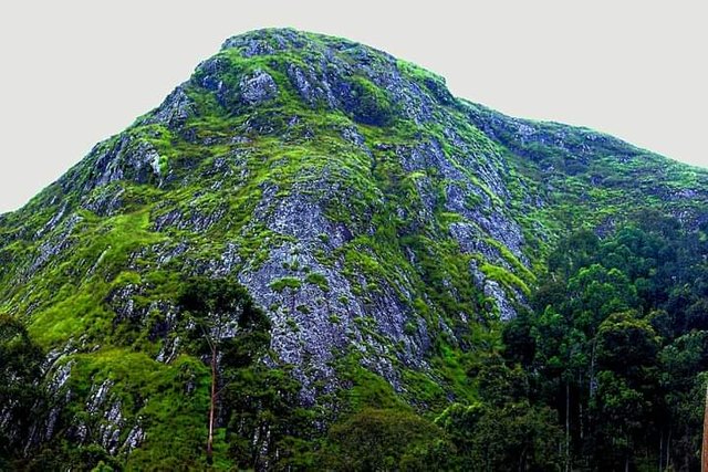
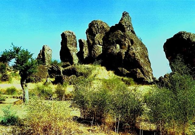
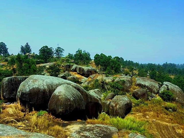
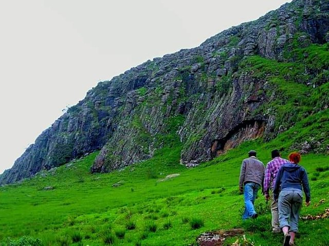
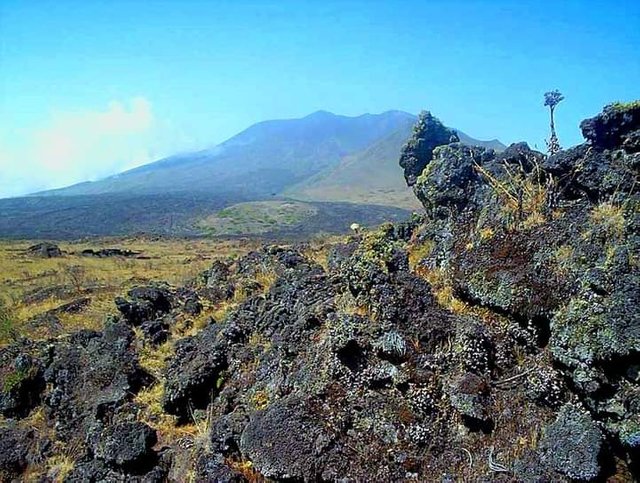
Thanks to its wide extension in latitude from Lake Chad to the Atlantic Ocean, Cameroon benefits from a diversity of environments and landscapes on a quadruple geological, morphological, bioclimatic (ecological), and human level. This gives it the name Africa in miniature. This publication focuses on the most emblematic rocks and the most beautiful rocky landscapes of Cameroon, they can be useful for geo-tourism: rocks of Lara, Mezesse, Ako'akas, Fovu, Bougogo, Ngog Lituba, Vimli, Nkolandom, Batié, Fotouni, Bapa, Babackvet - Babouantou, Mindif, Moutourwa, Boboyo, Damougare, Mont Djim, without forgetting the folds of areas of Figuil, Bidzar, the Kola gorges and the magnificent hills of Sabga. The magnificent rocky landscapes of Bambili.
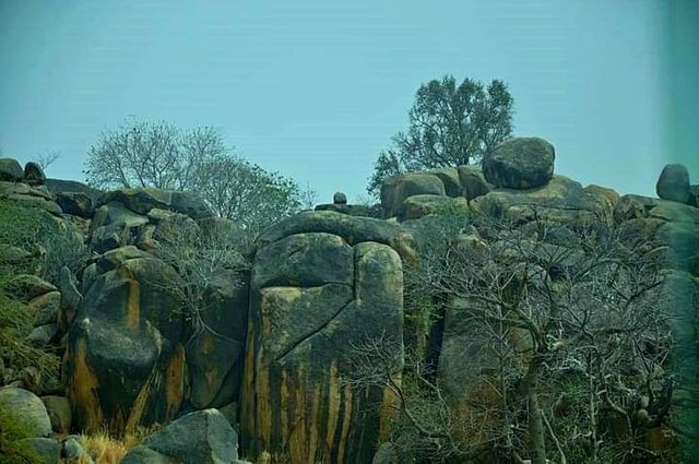
ROCK OF MEZESSE
The Rocher de Mezesse or “Mbil be kon” is the ancestral refuge and guarantees the ancestral Esse tradition. It is a huge boulder that sits in the middle of the forest. It is located in the Canton of Ndu Libi is in Mezesse, a locality located about 20 km from the town of SANGMELIMA in the South Cameroon region.
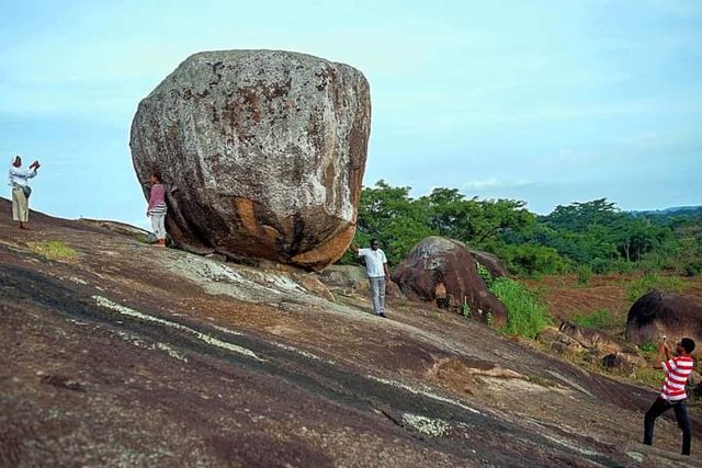
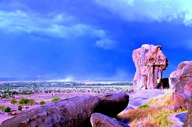
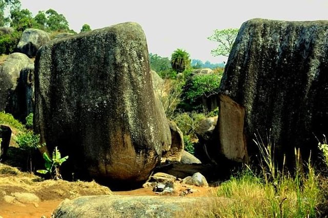
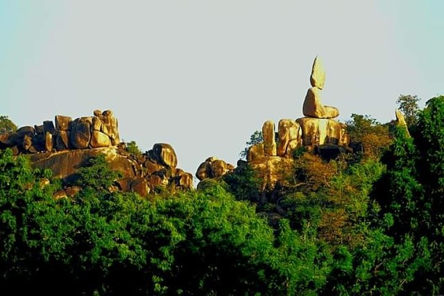
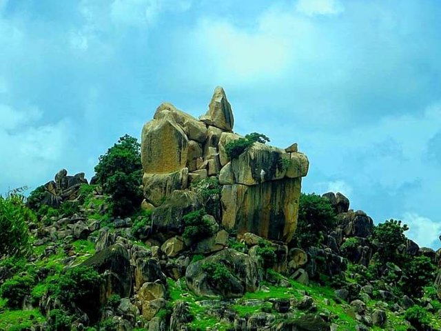
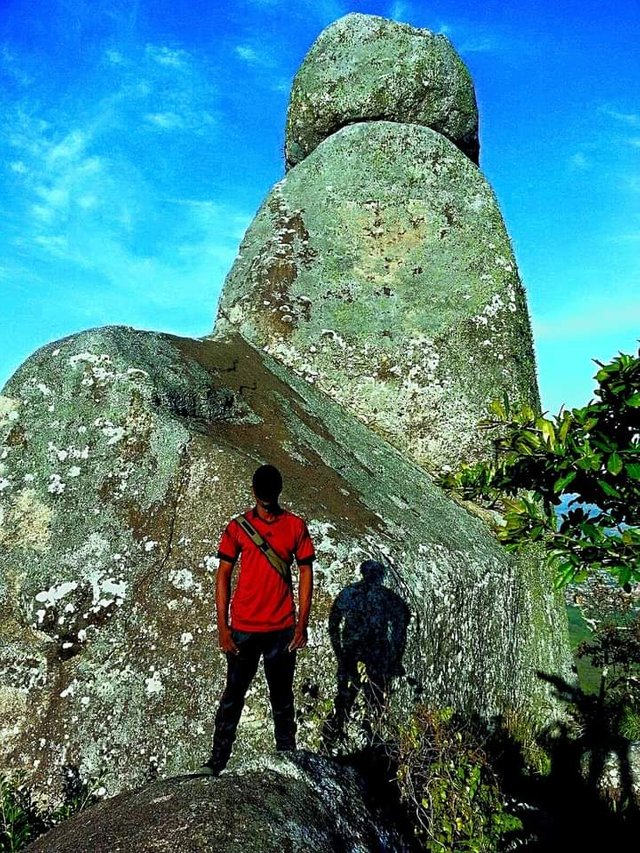
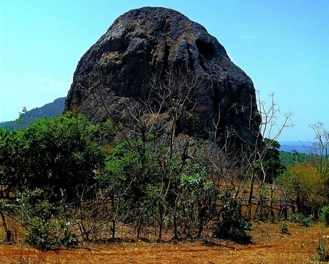
VIMLI ROCK
Around 1910, the Germans who administered the Kamerun explored the course of the Nyong River, going up it from Eséka. They discovered about 50 km south of Yaoundé, a rock that looks like a rocky lava flow that almost cut the river in two; the part of the rock that emerges in the middle of the river has a rounded shape. This is why the ancestors of the place nicknamed this rock "VIMLI" which means in the Beti language "rounded".
Given the beauty of the site, the German Administrators decide to create an administrative post there. But, when the 1914-18 war broke out and the Germans were forced to leave Cameroon, construction work on this post had not yet started. The French Administrators find this project in the archives abandoned by their predecessors. Very early on, they start looking for the place where the VIMLI rock is. Some traditional authorities mischievously tried to divert them from this place by indicating instead the rock "Akoa Bekoué" located downstream of the river (akoa bekoué means in Beti language the rock of the pygmies).
The French continued their research and ended up discovering the real VIMLI rock and without delay, the construction of the administrative post began. In 1926, the first VIMLI Administrative Head of Post, Mr. Georges BEARTH, agricultural driver settled. Sometime later, the administrative post of VIMLI was erected into a Subdivision and took the name of Mbalmayo from the name of a Notable who lived there (MBALA MEYO) that like cities like Akonolinga, Nanga Ebogo, Abong Mbang which are also names of the Notables of these places.
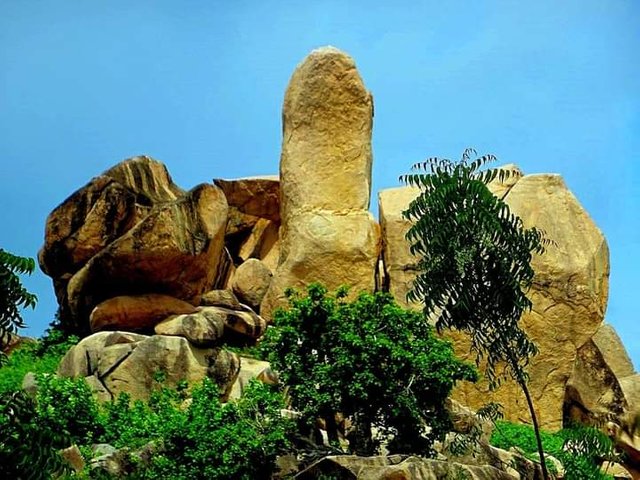
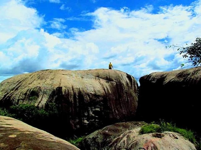
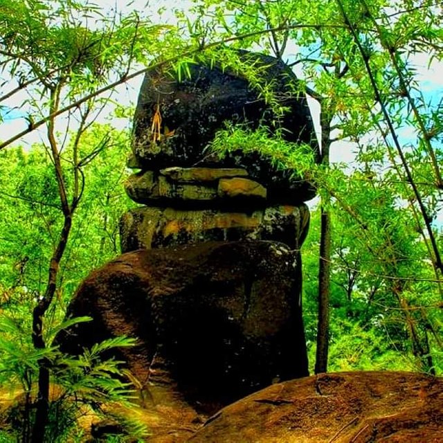
BUILDING ROCK
The rocks of Batié are developed on the granitogneissic base. The great rock of Batié is an enormous mass of rock of hexagonal shape of more than 10 meters in height stands; it is rounded in places and surrounded by a forest of trees. A large open-air maze that offers stunning views. The great rock of Batié attracts many pilgrims and campers, who sometimes come from abroad to make offerings, ceremonies, campsites, or picnics perched on the heights of Batié.
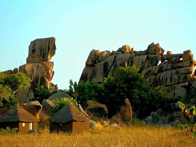
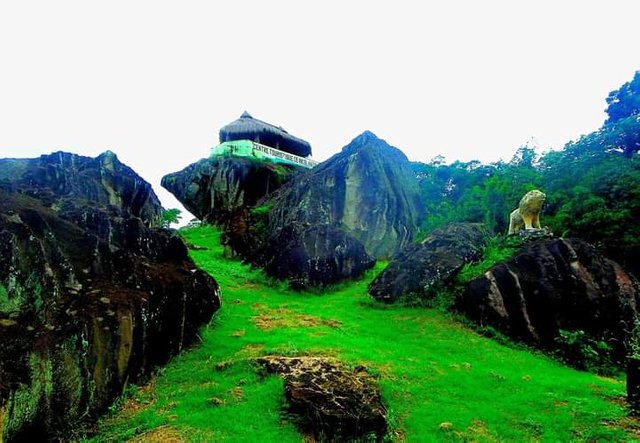
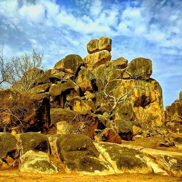
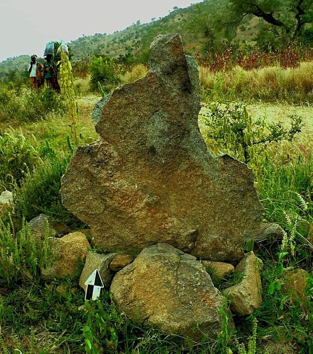
SACRED ROCKS OF BAPA (BEUGONG)
This village is built on a volcanic and hilly base. Its landscape is mainly composed of rocks and caves which offer a pleasant view to visitors. Coming from the Batié crossroads, at a place called Beugong (approximately 2 km), three large rocks arranged in stages resist the pressure of the wind to support the kingdom. These blocks of stones which bring pleasure to any visitor who approaches them sometimes refuse to have their picture taken without the king's prior consent.
The track below then leads to the rock of death or Loung gwou, perched at the top of a steep cliff over 100 meters high.
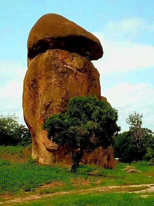
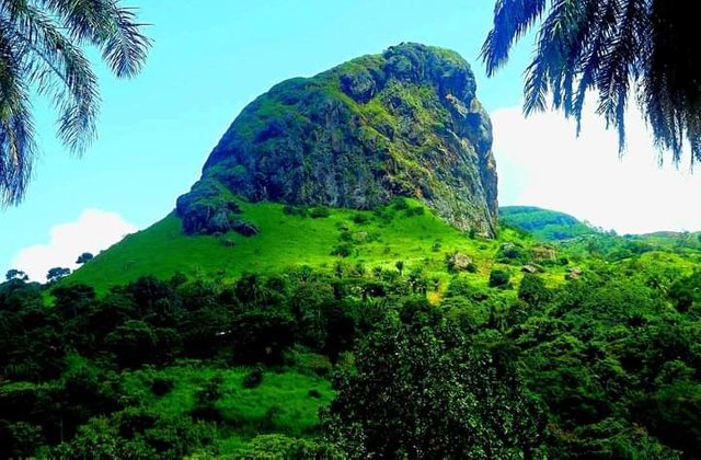
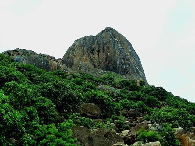
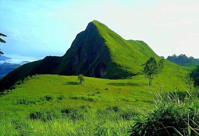
MINDIF PIC OR TEETH
The “Mindif tooth” (or Mindif peak) is a sugar loaf relief, evoking an inverted molar, which rises to 729 m in the middle of the Diamaré plain and can be seen from afar. The ascent of the Dent de Mindif, a huge rocky peak, remains the biggest challenge in Central and West Africa. Mentioned by Western travelers as early as 1823, it served as the backdrop for several films, including Les Racines du Ciel (1958) by John Huston and Chocolat (1988) by Claire Denis.
MOUNT BOBOYO
Boboyo is a village in Cameroon located in the Mayo-Kani department and the Far North Region, near the border with Chad. Mount Boboyo rises to an altitude of 627 m.
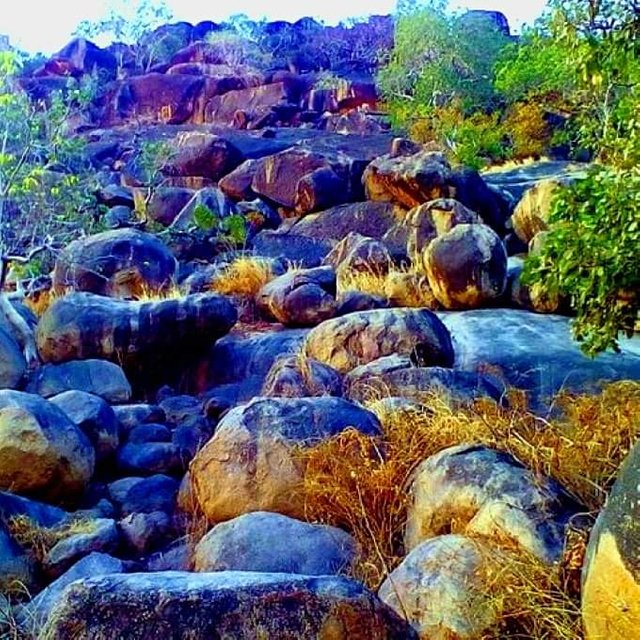
THROAT OF KOLA
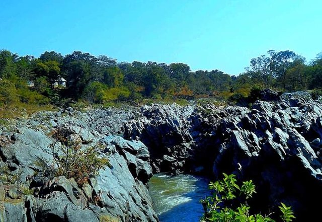
The Kola Gorge is a tourist site with an impressive panorama, which has benefited from the artistic genius of nature to become a special place in the eyes of visitors. It is located a few kilometers from the town of Garoua. The Kola gorges are located on the territory of the municipality of Guider in northern Cameroon. The Kola Gorges are one of the main natural curiosities of the northern region. The Kola Gorge is a gigantic open-air work of art, an artistic creation that nature has taken care to execute in its own way. Essentially composed of rocks polished by violent water currents, reaching more than twenty meters in height, the kola gorges offer visitors a spectacular panorama unique to its kind. Some rocks are wonderfully worked by the waters. At its highest, the gorges rise to about fifteen meters.
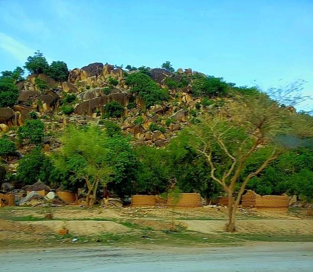
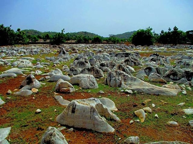
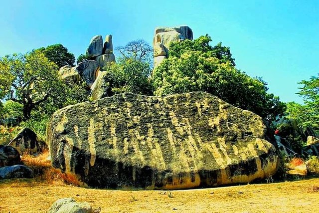
BIDZAR ARCHAEOLOGICAL SITE
The rock carvings of Bidzar are located in Cameroon, in the Mayo-Louti department, and the North region, near the border with Chad. Bidar is an archaeological site 20 kilometers from Guider, Cameroon, with petroglyphs ranging from 3,000 to 300 years old. The site, currently threatened by local cement and marble manufacturing operations, is being considered for inclusion in the UNESCO World Heritage List of sites of “outstanding universal value” to the world. Marble is of a limestone type called cipoline; it has an ideal composition for engraving, having low friction resistance, and breaking easily. The figures were carved into marble using a hammer and an engraving tool. The figures are mostly geometric, made up of groups of circles, some isolated, and others in groups. It has been speculated that the print represents concepts or stories from myths, or elaborates a cosmogony. The materials on which the engravings of Bidzar worked is a limestone (cipolin) marble crossed by veins of chlorite schists which modify in places it's a normally whitish color which became greenish-green, pinkish-pink, yellow-yellowish, or bluish. It is a unique and exceptional work of which no equivalent has yet been found in Cameroon.
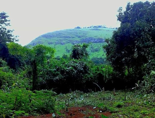
MONT DE DAMOUGARE
The Mount of Damougare located near the caves on the Tignere Ngaoundere. This cave has a complex history that is linked to the culture and traditions of the Kutin people.
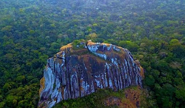
ROCKS OF MOUNT DJOUMBAL
Mont Djoumbal, located in Banyo, a town in the Adamaoua region of Cameroon. The mountain rises to 2000 m above sea level and about 3 to 4 refugees, with lots of trees and large rocks. Once at the top of the mountain, you have a beautiful panoramic view of the city.
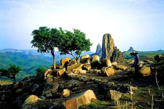
MOUNT DJIM ROCKS
This Mount is the mythical place of the “Nyem-Nyem” people, renowned for their talent as a warrior. He won all the battles between the German colonizers at the end of the 1800s, but especially the tribes who wanted to dominate him. Mount Djim occupied a prominent place in the indigenous war strategy. They were going to take refuge in the caves of this mountain which dominates the city of Galim-Tignère. From this high point, they saw the enemy coming.
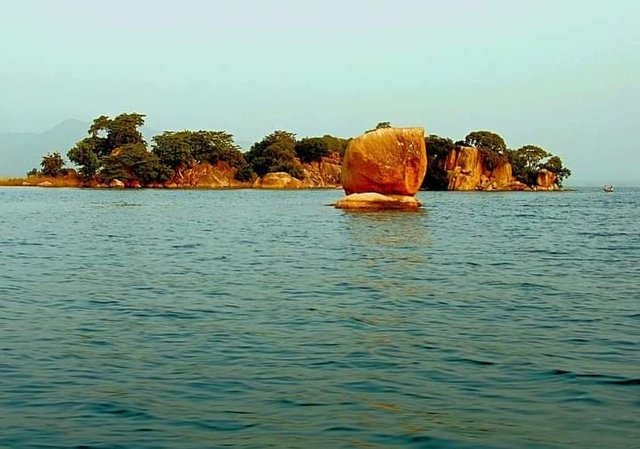
ROCKS OF ILE AUX DAMANS
The Ile aux Damans also called the Islands of Madagascar is an island accessible by canoe from the fishing port of Lagdo. There is a hotel facility where nautical activities are offered.
Damans Island, also called the Islands of Madagascar, is an island accessible by canoe from the fishing port of Lagdo. There is a hotel facility where nautical activities are offered.
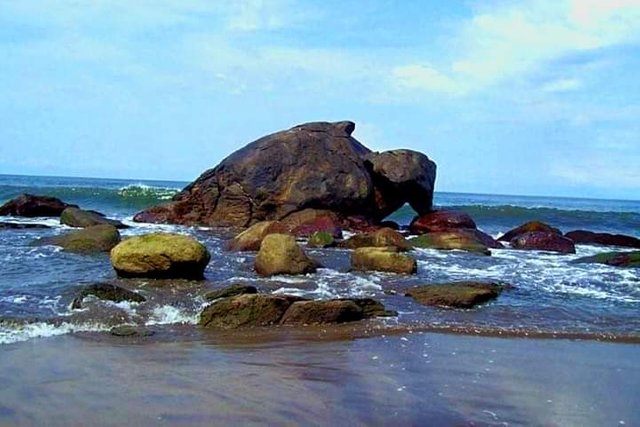
WOLF ROCK
Near Beio and Ukono, on the road to Campo, this mass of stone in the shape of a wolf is a real eye-catcher. It can be seen on the horizon, above the waves at low tide. It seems to be counting your steps. Seen from the front and from a distance, you either have the impression that you are moving in slow motion or you take to the side for fear of being devoured by this "monster". It’s just a wolf rock because it looks like a wolf. This wonder sculpted by nature is between Kribi and Campo. Surrounded by beautiful beaches of fine sand golden by the sun.
#betterlife #Steemgeography #steemexclusive #cameroon #steemit #steemitAfrica
Thank you for sharing in Geography! Your post has been selected for today as part of the Steemit Communities support Program.
I appreciate a lot your engagement with this community.
I’d love to hear more from you!!
Thank you #Belenguerra for selecting my post, you will always here from me