San Gabriel Mountain Adventures - The Red Box Loop
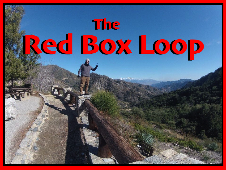
This week's adventure is a 3 day backpacking trip, making a 20 mile loop beginning and ending at Red Box gap in the San Gabriel mountains!

My buddy Ray was wanting to get out and do some backpacking, so we picked three days and I planned the trip. Since it was winter and was definitely going to be cold I opted for a loop in the lower elevations of the front country so that we wouldn't freeze up in the snow.
So the day of the trip came and we threw our backpacks in the truck and drove out to La Canada and caught the Angeles Crest highway up into the San Gabriels to Red Box Gap. We threw on our packs and headed down the Gabrielino trail into Arroyo Seco. We headed down canyon along the stream passing the Switzers camp and then climbing up to the ruins of the old Switzer chapel for a break. The chapel was built on a steep rocky point directly above Switzer falls. With great views overlooking the canyon and the sound of the rushing waterfalls below it's a killer spot to just relax and enjoy the beauty.
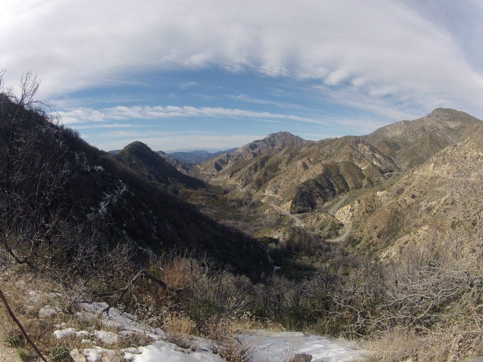
Overlooking the Angeles Crest Highway from Red Box gap
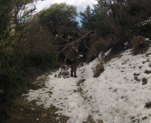
Obstacles on the trail
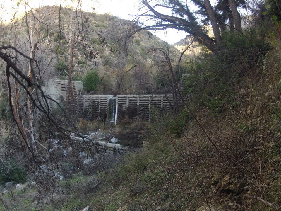
Check dam waterfall in the Arroyo Seco
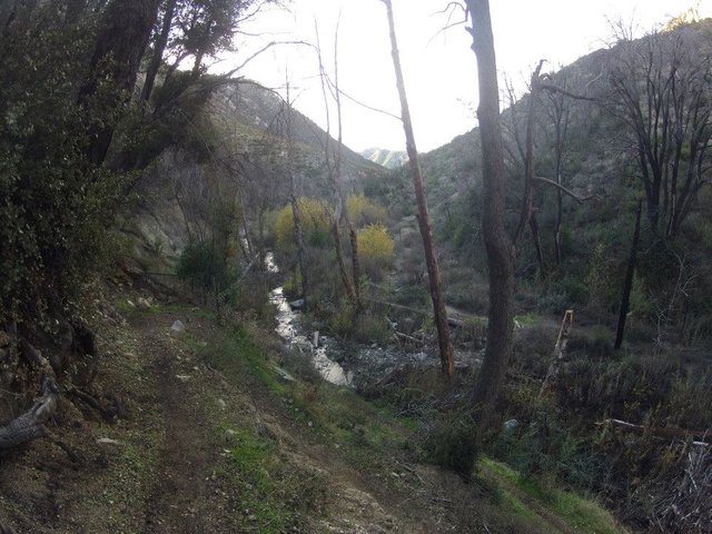
Arroyo Seco
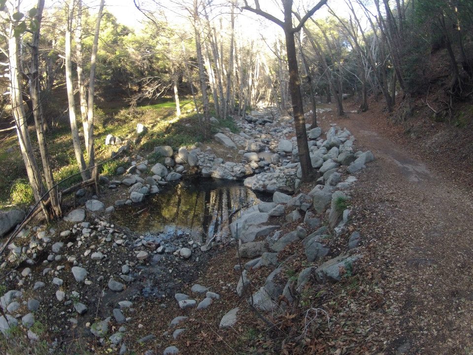
Arroyo Seco near Switzers camp
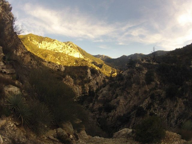
Views from the Switzer chapel ruins
After a long break at the Chapel ruins we continued down the trail to the junction with the Bear canyon trail which took us up Bear canyon to the Bear canyon camp. We arrived just after dark and had to use our headlights to setup camp. Then we had some dinner and chatted about our adventure that day and the adventures still to come!
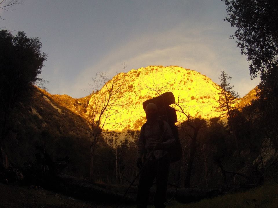
Orange sunset glow on the cliffs above Bear canyon
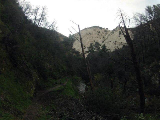
Hiking up Bear canyon before dark
The next morning we made breakfast and then packed up camp. We continued hiking up Bear canyon. Now seeing it in the light we got to see what a beautiful canyon it was!
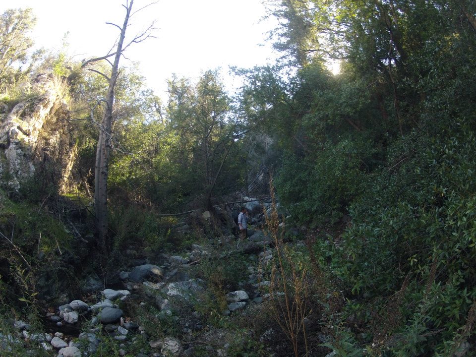
Bear Canyon
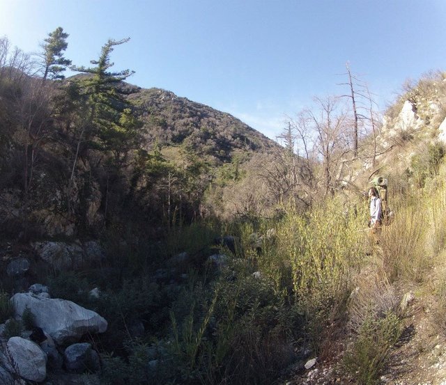
Hiking up Bear canyon
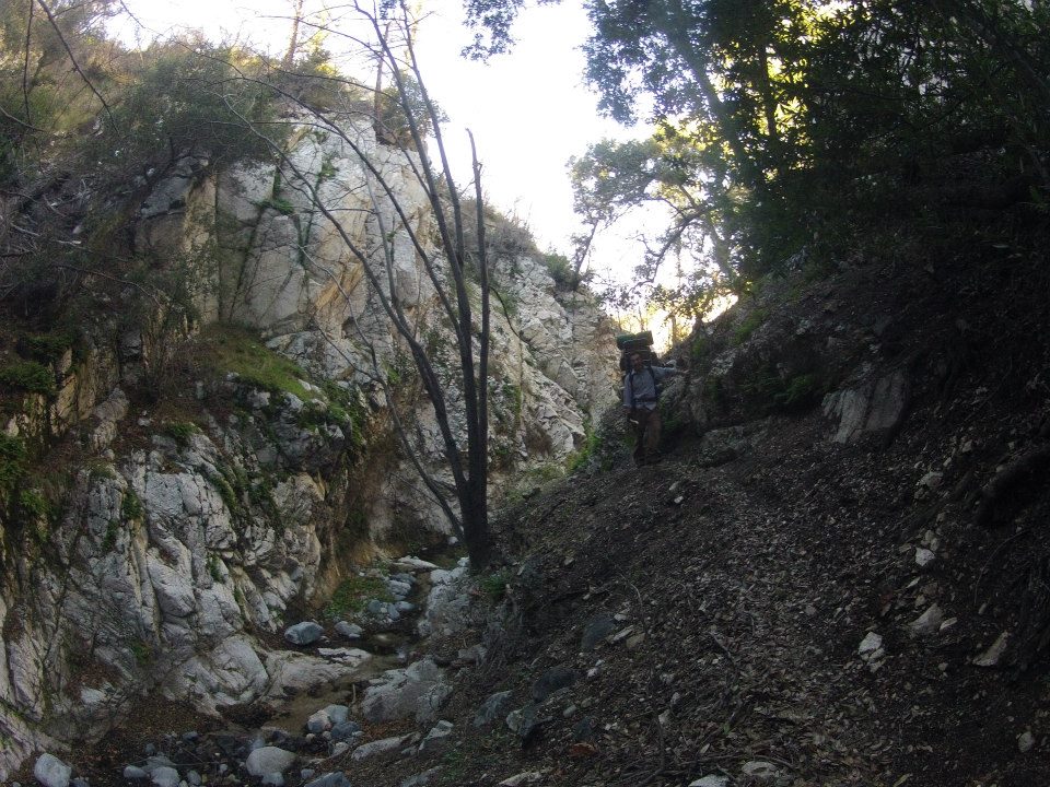
Bear Canyon
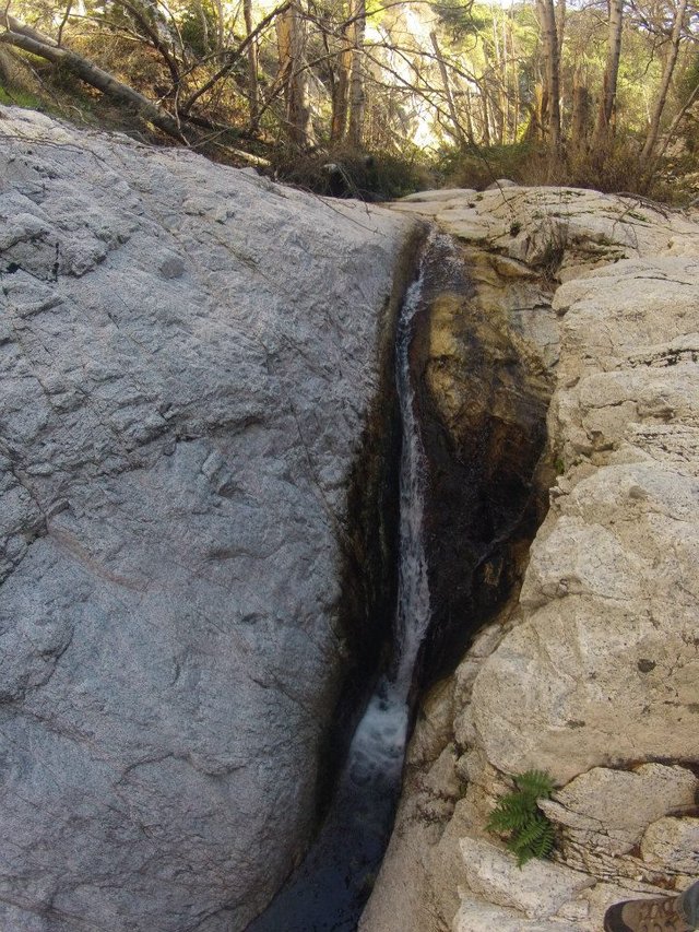
Small waterfall in Bear canyon
In the upper parts of the canyon we found some ruins from some old cabins. Then we caught the trail up and out of the canyon to Tom Sloan saddle where we took a lunch break.
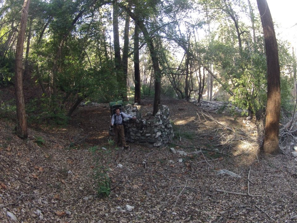
Ruins from an old cabin in Bear canyon
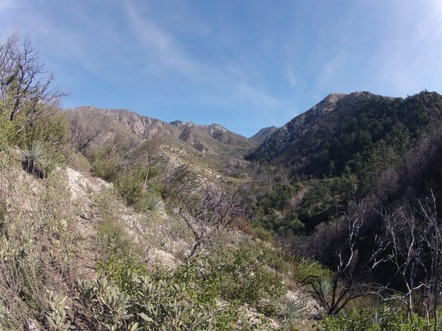
Climbing high up above the canyon
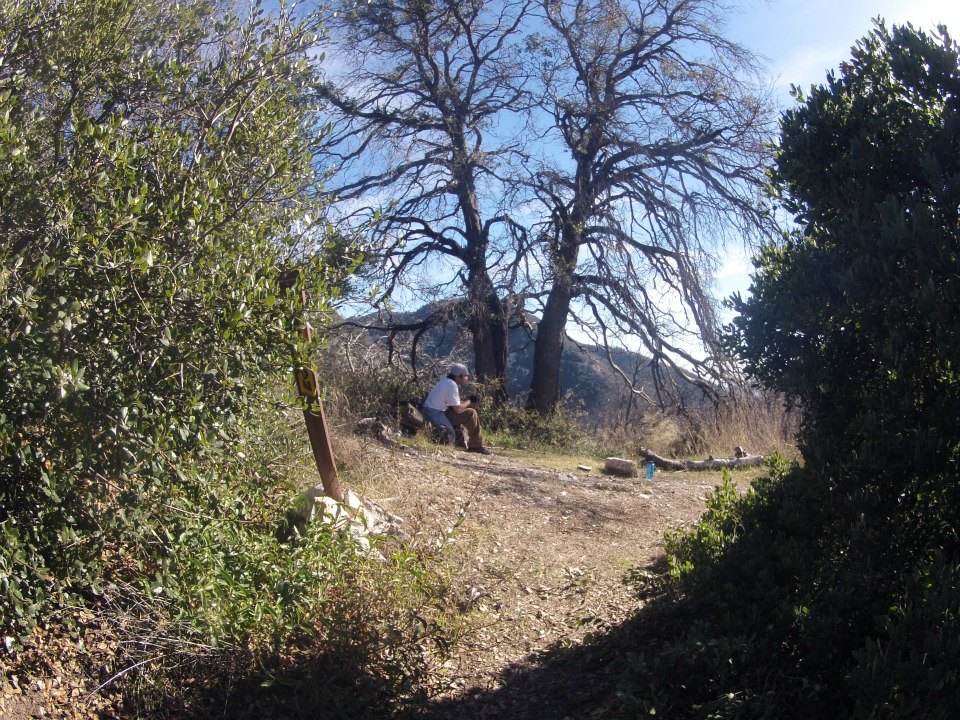
Taking a break at Tom Sloan saddle
From the saddle we climbed up to the Mt. Lowe fire road and hiked down the road to the Mt. Lowe camp. The camp is full of ruins from the old 'Ye' Alpine Tavern' that was once the final destination of the Mt. Lowe railway. There is also still a spring fed water tank on the hill above camp that provides a great water source. We setup our camp and then made the short hike out to Inspiration point for the amazing sunset.
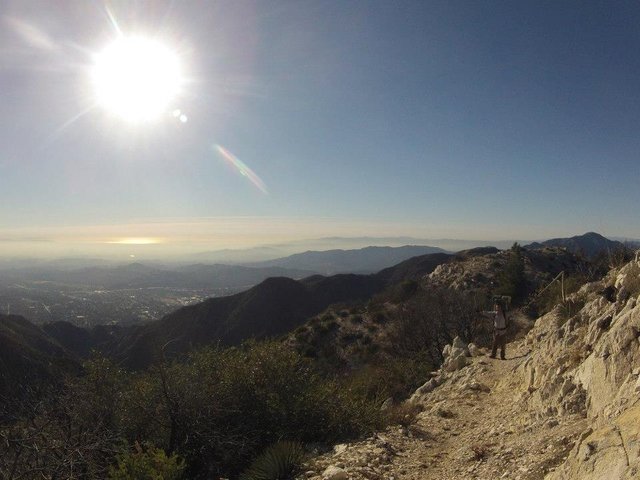
Climbing up above Tom Sloan saddle
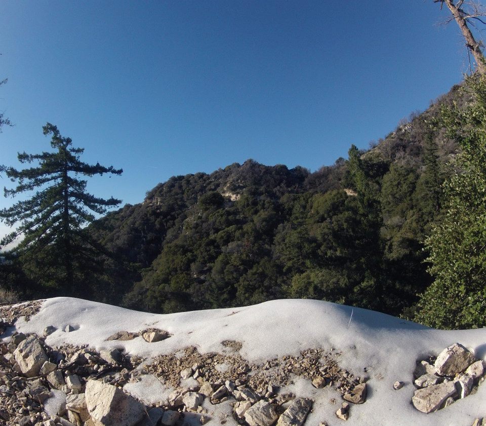
Getting back into some snow on the Mt. Lowe fire road
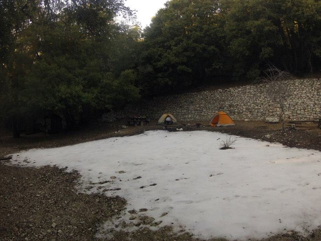
Mt. Lowe camp
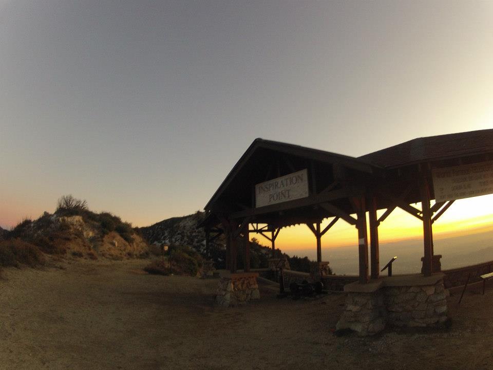
Inspiration Point
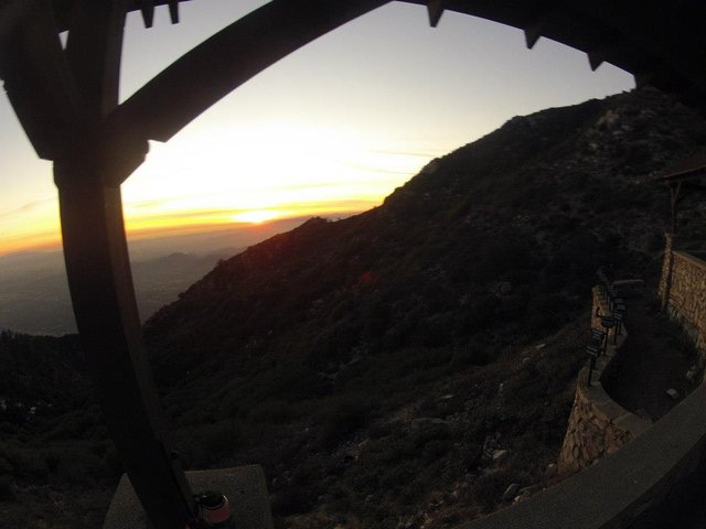
Sunset from Inspiration Point
The next morning we got up and got ready for our final day of the trip. It was to be a big day as we planned to climb up two mountain peaks before dropping back down to Red Box. We packed up our camp and filled some water for the hike and then headed up the Mt. Lowe east trail, which as the name implies climbs around and up the east side of Mt. Lowe. The trail had great views overlooking Eaton canyon and the summit had an incredible view in all directions!
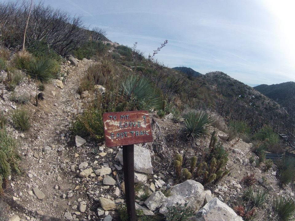
Starting up the Mt. Lowe east trail
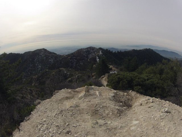
Views from the trail
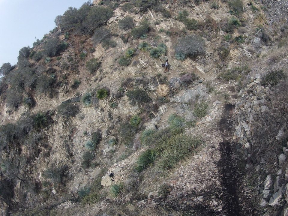
Hiking up the trail
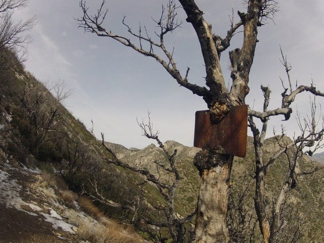
I wonder what this sign used to say?
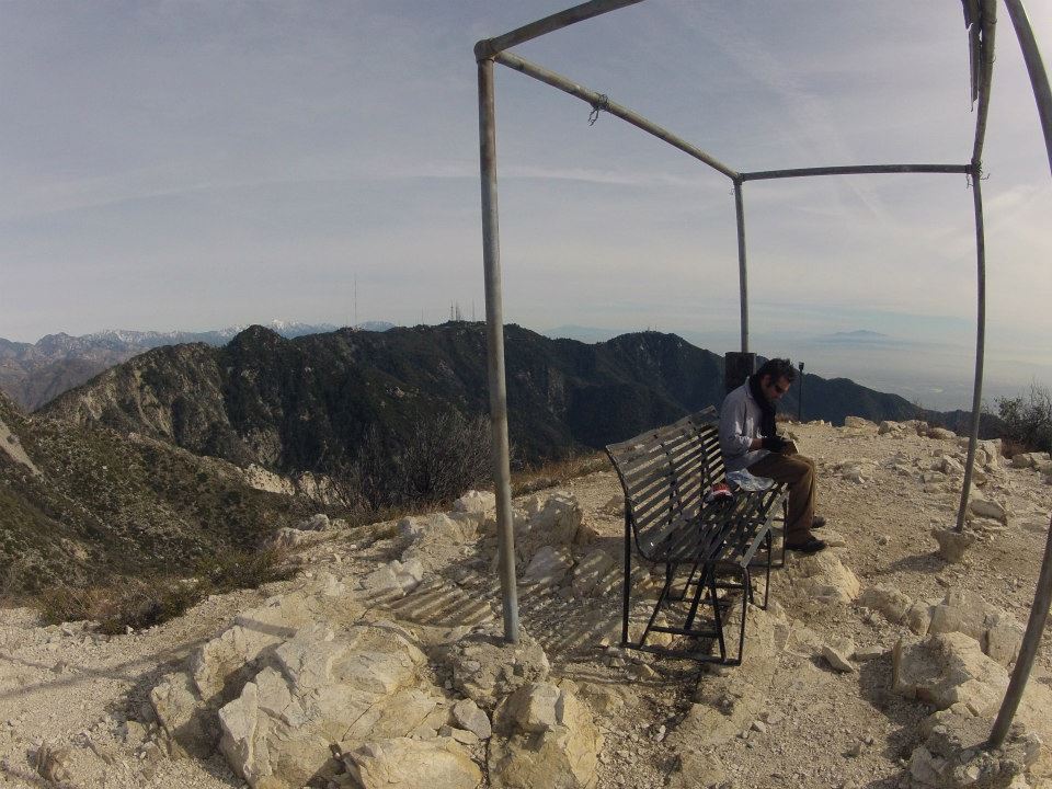
On the summit of Mt. Lowe(5,380')
After enjoying the views from Mt. Lowe we headed down the north side to Markham saddle. From the saddle we began our final climb of the trip up to the summit of Mt. Disappointment. Which was definitely NOT disappointing! The views from the top were amazing. Overlooking almost all of the areas we had just hiked through. From the top we dropped down the unmarked trail on the north side down through the tunnels of scrub oak and manzanita to our final destination back at Red Box gap!!
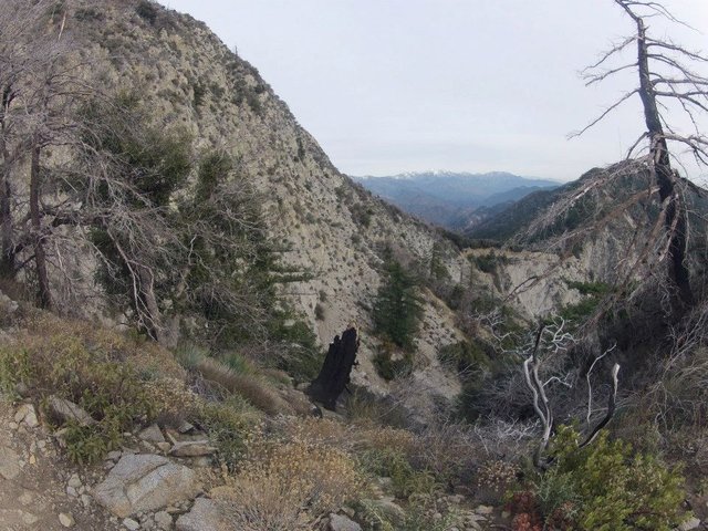
Climbing up Mt. Disappointment
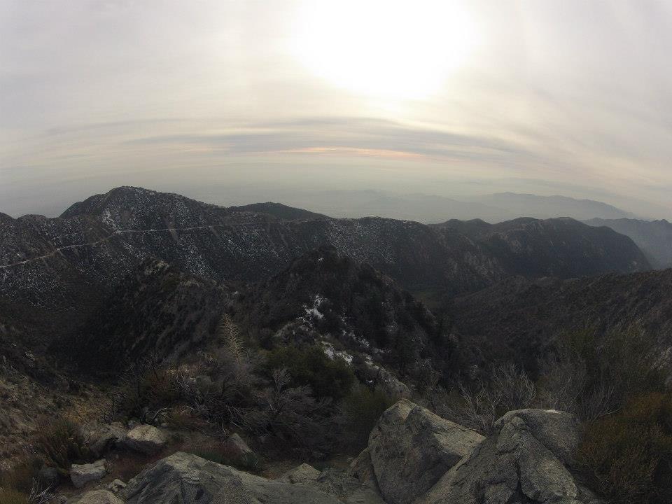
Views from the summit of Mt. Disappointment(5,994')
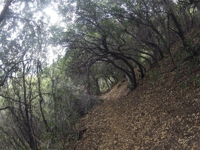
Scrub Oak tunnels on the way down to Red Box
 Thanks for reading!!
 Thanks for reading!!
 Map - !steemitworldmap 34.258153 lat -118.105164 long 'Red Box Gap' D3SCR
Steemit World Map

https://www.facebook.com/CAmountainadventures
Contact me on Discord


#SoCalSteemit is building and supporting the Steemit community of Southern California. If you are from SoCal and are into creating quality content here on Steemit, we'd love for you to follow us @SoCalSteemit and join our group on Discord


Animated Banner Created By @zord189


This post is sponsored by @appreciator in collaboration with @steemitbloggers. Keep up the good work
I had to look up just where these mountains were, although i could see a city in the distance in your photos. Such incredibly beautiful natural scenery so close to LA. Something that I wasn't aware of. Thanks for these great photos, and the sharing the experience.
Yup Red Box is only a half hour from L.A.! So many people in the city have no idea about the beauty of the San Gabriel mountains that are right there in their own backyard. I love it up there. The views overlooking L.A. from spots like Inspiration point and Mt. Lowe are incredible.
Thanks for checking out my hike! I'm glad you enjoyed it.
Otherworldly. So what's the story? Why is it called Disappointment Mt?
When surveyors saw it from far away they thought it was the high point of the area, but upon climbing it they realized that San Gabriel peak was actually a little taller.
The photos you took are beautiful! I am just wondering what are the biggest animals you could have encountered on your way there? Does the Bear Canyon has anything to do with bears?
Thanks @lymepoet! There are definitely bears out there. They are not very active in the winter though. They're mostly hibernating. There are Mountain Lions and Bobcats out there too!
Wow @Derekrichardson, you sure do put some miles on those boots. It's such a great way to stay fit while enjoying the beauty of nature at the same time. I'm picking out the fishing spots as I scroll through your pics. lol. :)
Woah that sunset glow on the cliffs looks so surreal. It looks like an explosion. Great pics!
Thanks @steveeats! I thought that shot came out really cool too.
i wonder where the name Disappointment came from? It does look anything but!!!
The first official surveyors of the area thought it was the highest point, but upon climbing to the top they saw that San Gabriel peak about a mile away was actually a few hundred feet higher. The views from Mt. Disappointment are actually better than San Gabriel peak in my opinion though.
I dont think anything in nature should be called a disappointment!
Now that's a good hike! Would've been amazing being around such a lovely area. I can't hike or haven't tried I should say, wouldn't be able to go that far atm anyway.
Wow! What a wonderful adventure! Your photos are amazing! I am so envious! Thanks for sharing your trip with us!
awesome natural photography :). I hope you had a great adventurous trip.
Thanks! It was a great adventure indeed.