Use of Drones (UAV) for cartographic purposes
Hi guys, for this post I want to talk a little about the use of UAV (Unmanned Aerial Vehicles) in the area of geomatics. These UAV are those that we popularly know as Drones.
For those who do not know the term, geomatics is no more than a set of earth sciences in which there is an integration of certain media in which geographic information is captured, processed, analyzed, interpreted and stored.
Now, the technological development that has been evidenced in geospatial acquisition processes in recent years, brings with it a new paradigm for Geomatics associated with the use of unmanned aerial vehicles given the potential and broad spectrum of applications that these devices offer moment to capture data and information of the terrestrial surface, being highly reliable; this technology also supposes reduction in costs and execution time.
Colomina and Molina (2014) offer a current vision on the subject.
.jpg)
One characteristic to highlight is the versatility of the aerial platform when adapting the sensor or camera according to the particular needs of the project to be executed, guaranteeing at all times the high spatial resolution of the images due to the low height at which they can fly.
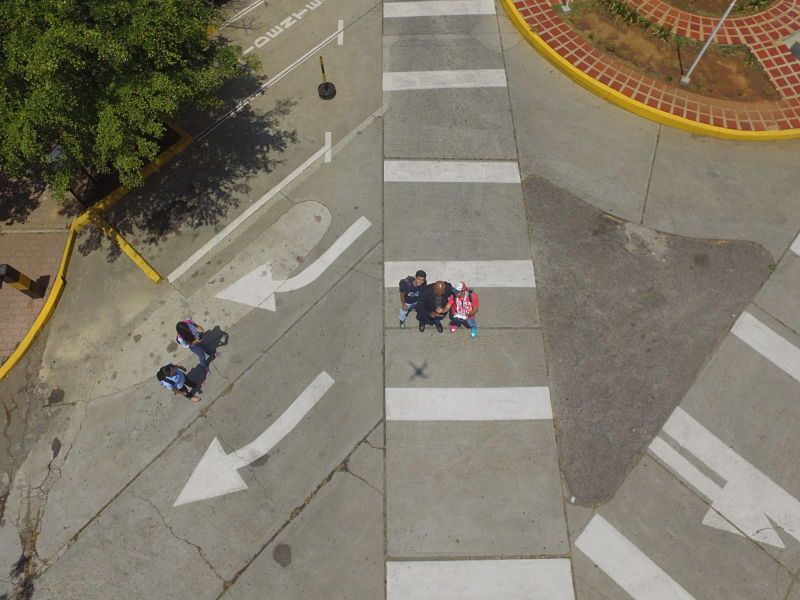
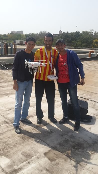
The first thing that must be done is an inspection of the area to be represented, either through digital platforms with a cartographic base this is done to know, and define a homogeneous distribution where land control points will be established. These are only marks on the surface of the earth that will later be estimated by GPS measurements to determine their coordinates that will then be used in the georeferencing process. With the UAV we proceed to fly over the study area and take photographs of it, but for this we must take into account a photogrammetric flight planning to have no problem when processing all the information and generate the mosaic - image.
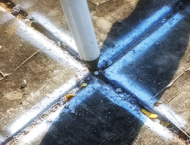
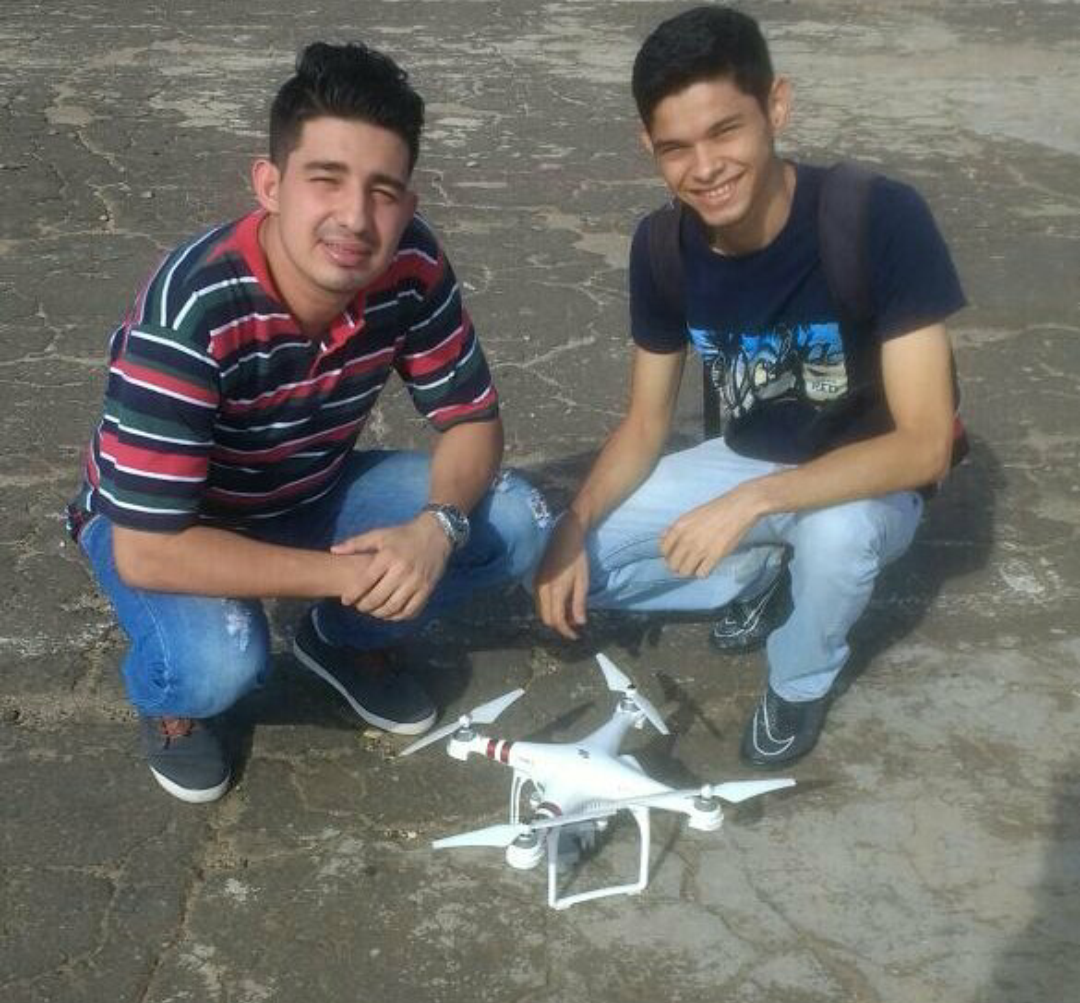
Marking of land control points
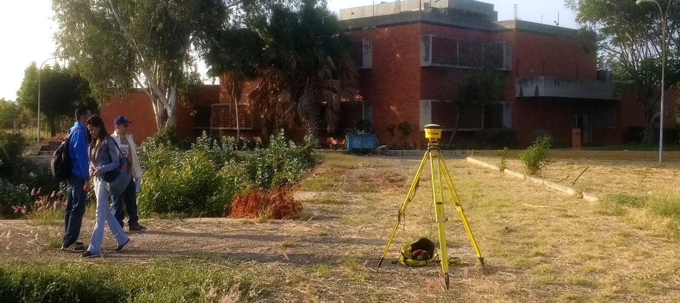
GPS Measurements
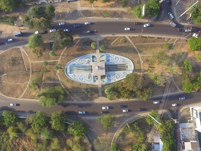
image used for making the mosaic
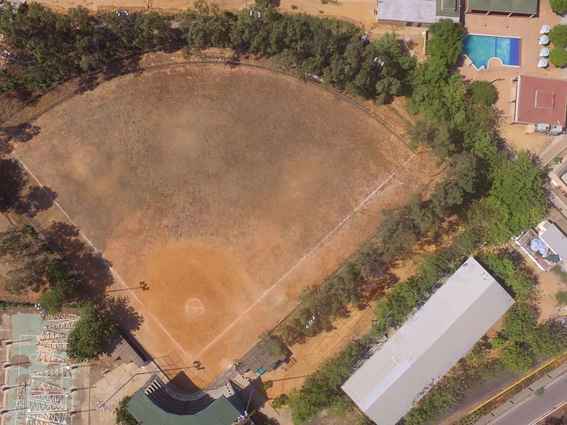
image used for making the mosaic
.jpg)
image used for making the mosaic
By having the images captured by the UAV and the terrestrial control points, we proceed with the making of the mosaic-image, using specialized software for images taken with these devices. The treatment done by the software consists of orienting each image based on its reference system, to then select the points that are homologous between them, the result is the 3D representation of the external surface of the object (Glennie, 2007) , achieving the digital reconstruction of the ground.
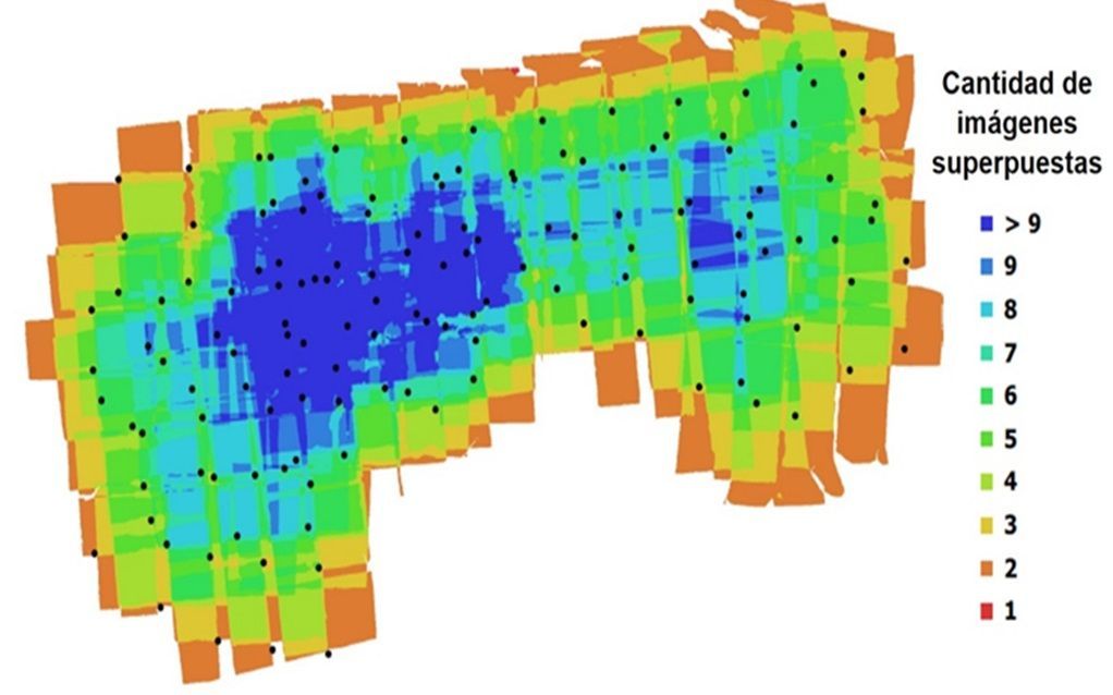
Level of overlap between images
In Spanish it says: "Quantity of images superimposed"
The mosaic-image initially made has geospatial features thanks to the orientation of each image that is given by the GPS sensor of the UAV, so that any object represented in it has geodetic coordinates. To improve the quality of the coordinates we proceed with the georeferencing process using the terrestrial control points. The georeferencing process seeks to give the mosaic-image the integrity of a map through its own mathematical treatment based on establishing the one-to-one correspondence between the geodesic coordinates of the Terrestrial Control Points (from the GPS estimation) and those of their equivalents. in the mosaic - initial image.
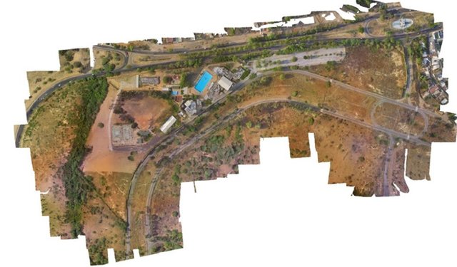
Georeferenced Mosaic Obtained
I hope you have enjoyed this information, it is part of a research work that I did during my time as a University Student in the Geodetic Engineering School of the University of Zulia (LUZ), which could participate in a student research conference. To then develop in function to this research, my thesis.
.jpg)
Writing and original photography of @jlmol7
I hope you liked it, see you in the next post
do not forget to give UPVOTE
You received a 60.0% upvote since you are a member of geopolis.
To read more about us and what we do, click here.
https://steemit.com/geopolis/@geopolis/geopolis-the-community-for-global-sciences-update-3
If you do not want us to upvote and comment on your posts concerning earth and earth sciences, please reply stop to this comment and we will no longer bother you with our love ❤️
UAV’s are so cool, I’ve been using them to make 3-D models of outcrops, we also have a 3-D printer so we can print out whatever we take pictures of
Working with these innovative devices turns out to be very advantageous, in addition to facilitating work in the field, it offers results in less time and at a lower cost than conventional methods.
Resteemed by @resteembot! Good Luck!
Curious?
The @resteembot's introduction post
Get more from @resteembot with the #resteembotsentme initiative
Check out the great posts I already resteemed.