ArcGIS 10.3: Map Design - Tutorial 2-1 Solution - Creating Point & Polygon Maps Using Qualitative Attributes
I am continuing my posts on ArcGIS solutions for the 10.3 text. At this point I am updating these posts to feature ONLY the final stage in the map design of each tutorial. I am exporting the maps to JPG files.
In this way, these posts can help you compare your completed product to what I have uploaded and displayed on these posts. As you progress through these steps, you will reach this page with the following directions:
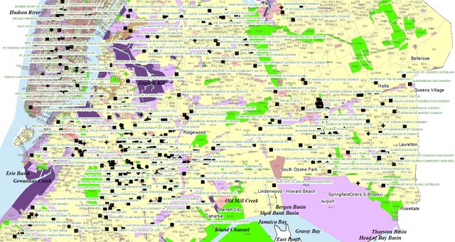
As a result, here is a screenshot of the completed map with all attributes:
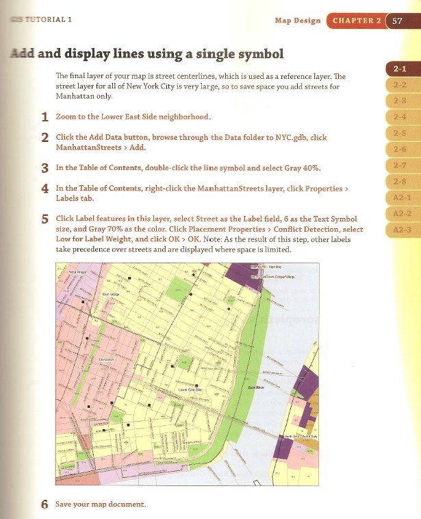
And a final close up of lower Manhattan with emphasis on the Streets Layer:
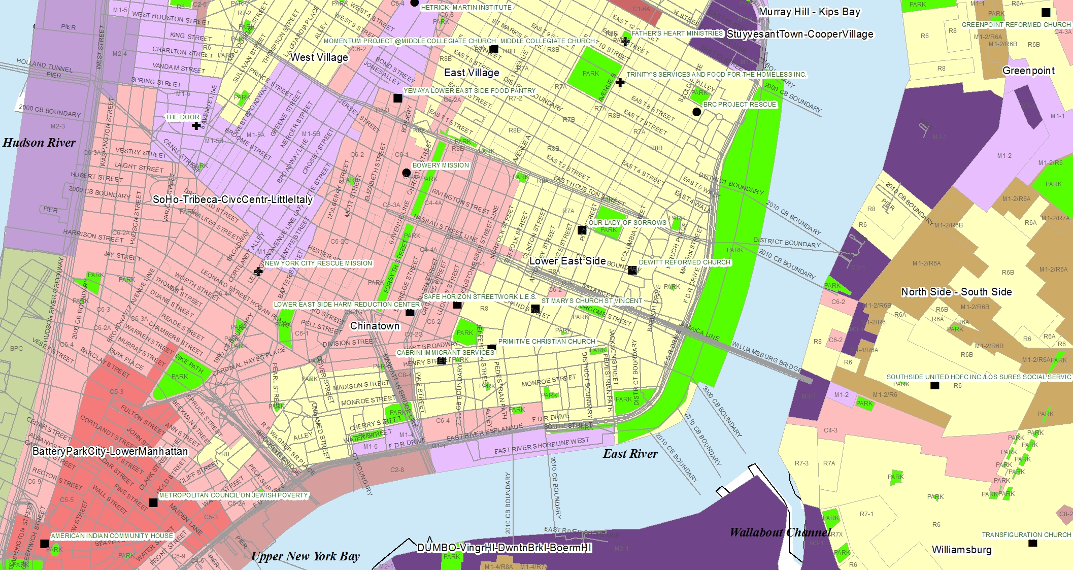
Use these two images to compare your results. Notice the color schemes and label attributes. Finally as per the last set of instructions, notice the emphasis on the Lower Manhattan streets in contrast to the borough of Queens. This was an important element to this tutorial exercise.
Need solutions for Chapter 1 Assignments?
See my completed tutorials: