Larvik - Fritzøe verft
Here is a collection of photos I took while having some idle time in the town of Larvik Saturday.
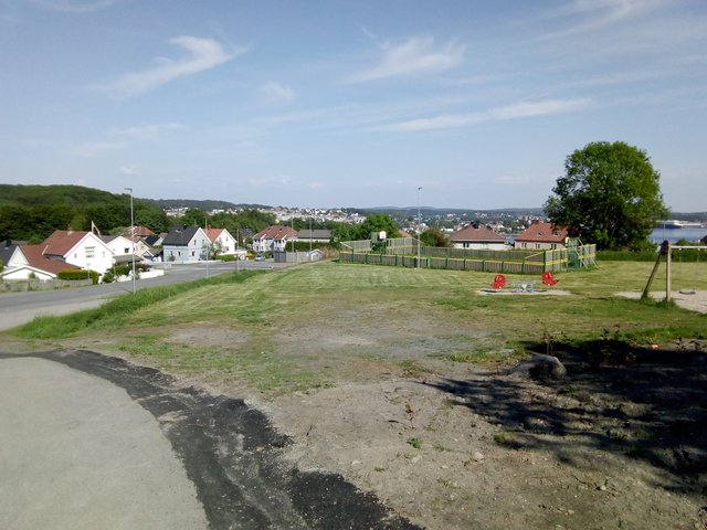
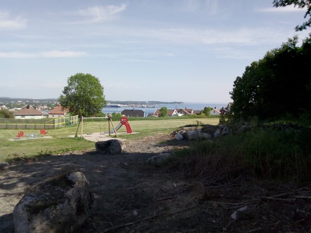
First, Larvik from a residental area up in the hills - the industrial harbour behind: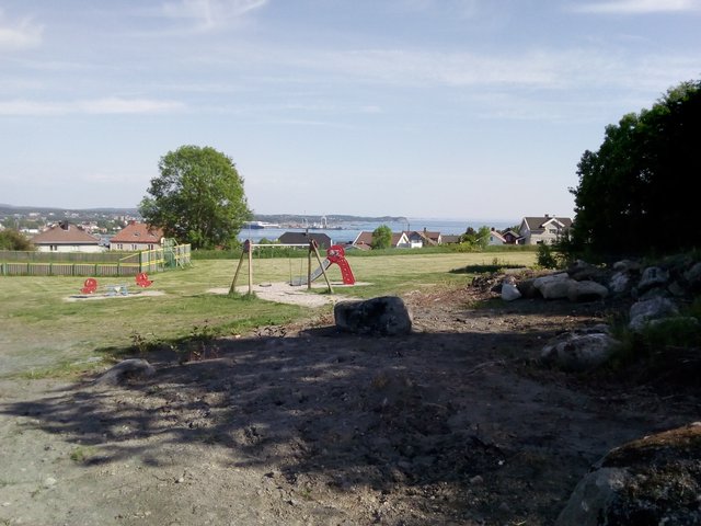
Old industry buildings further below.
From a maritime point of view, Larvik seems like an unlikely place to put a town; it's not a very good natural harbour, the bay is open towards Skagerak, with the "wrong" wind conditions I suppose it may be quite much waves in the bay. So what's the deal with Larvik - like, what's the historical reasons for developing a town right at this location?
I could find three:
One of the biggest rivers in Norway has its outlet in Larvik - it probably allows for a sheltered harbour, and the present industrial harbour is located in the area around the river mouth - but the town is not centered around the big river.
The town is located at the top of a moraine - this moraine has traditionally (and even in present day) been used for land-transport (roads, rail roads). The Farris fresh water lake is very long and very deep - and would have been a part of the Oslo fjord if it wasn't for the moraine. This means all land transport had to pass through Larvik or deep inland - hence from a military point of view, the town had been a strategic choke-point and from a commercial point of view it has been a natural place for offering services for land transport.
Hydro power - there is a smaller river going from the Farris lake and down to the fjord, the height difference is significant and the lake is quite big, hence it's possible to harness the power. Larvik has been an important industrial site due to the hydro power.
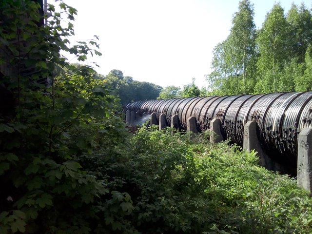
I eventually spent some time at the Fritzøe verft, an industrial area where the hydro power has been utilized. Most of the river is dry, and the river water is transported through a pipe. There is also the Larvik Museum in the same area, but I did not visit the museum today.
Here is the small river from Farris, strong and with water, running some few hundred metres before it meets the sea.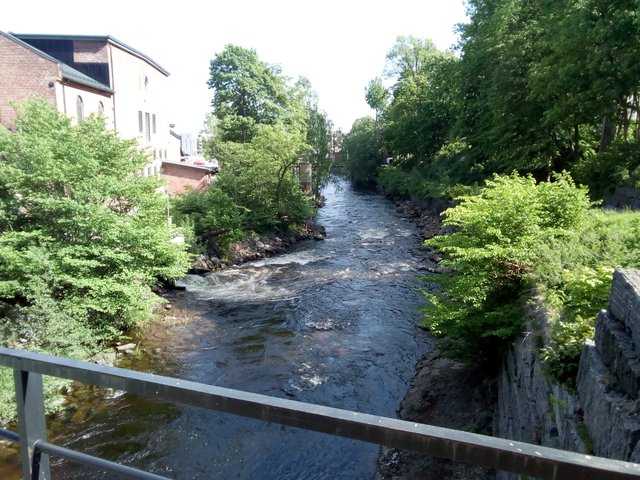
At the other side of the bridge there is not much water at all in the river. Notice the river bed - it's clearly constructed, I wonder why. Behind is the water tube and the railroad.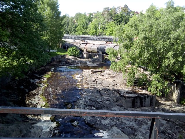
Parts of the river water comes out from under this building after being transported in a pipe. It's a cultural school today - does that mean the power from the water is not utilized anymore?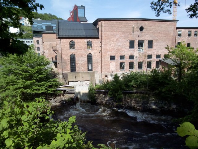
Other part seems to come up here - I suppose this concrete structure down there is a tunnel for the water from the hydro plant.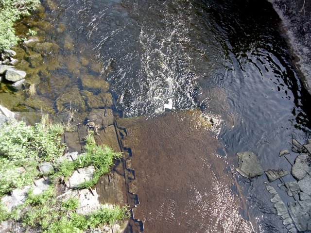
Here is the hydro power plant building. This building is also used for non-industrial purposes today.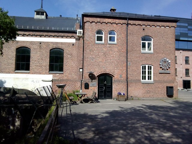
The water tube goes into this building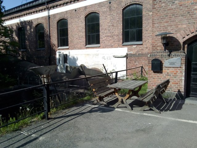
Some of the water flow is under here. Note that it's protected by three fences, maybe for avoiding people from jumping into the strong water flow?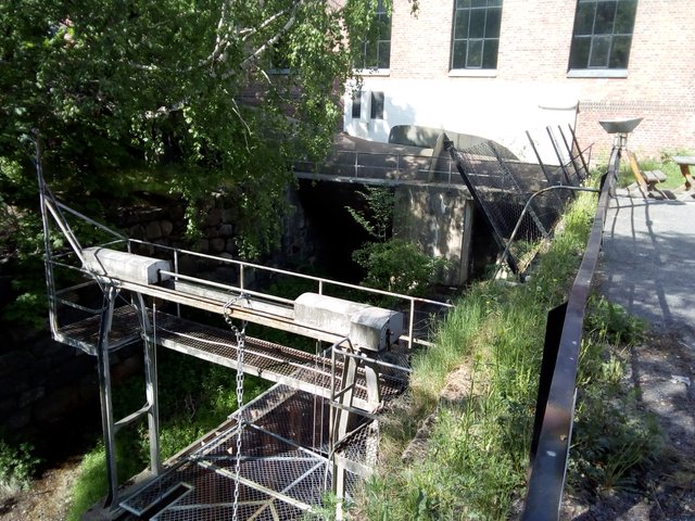
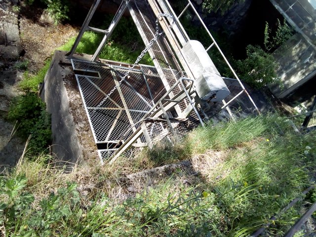
I believe this is some kind of a pressure tank, to keep the pressure stable (railroad line in front of it)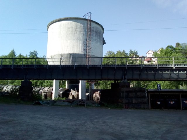
The tube is leaking, several places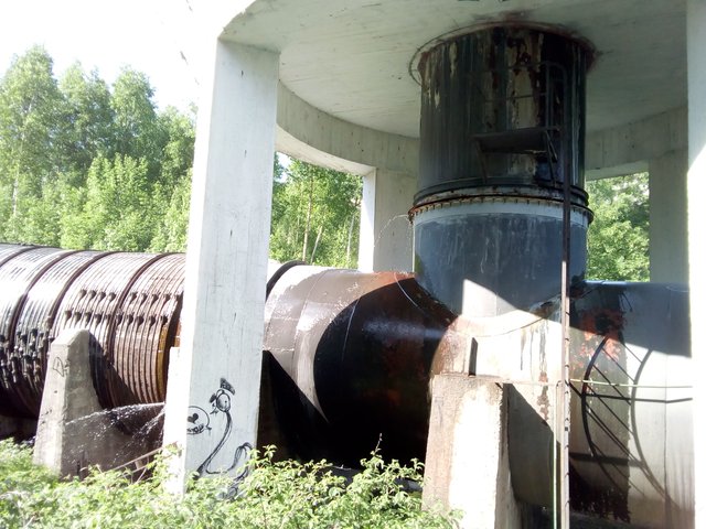
With the tubes leaking, I'm wondering if it's really safe to stay in this area. Perhaps at one point, the pipes will burst open? Oh, here is even a warning sign ...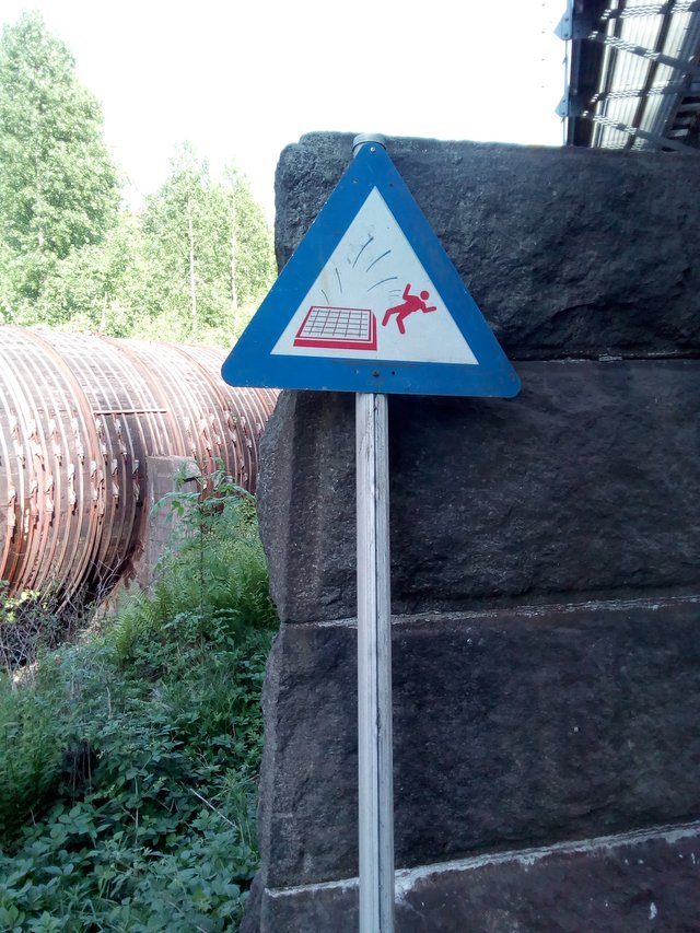
Some sections of the tube seems to be wooden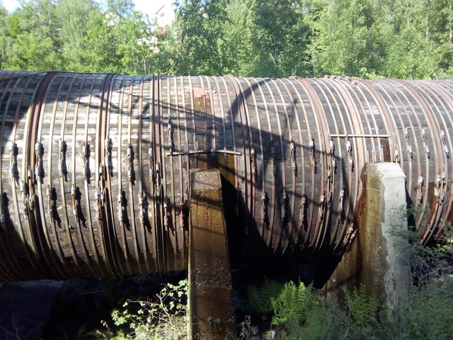
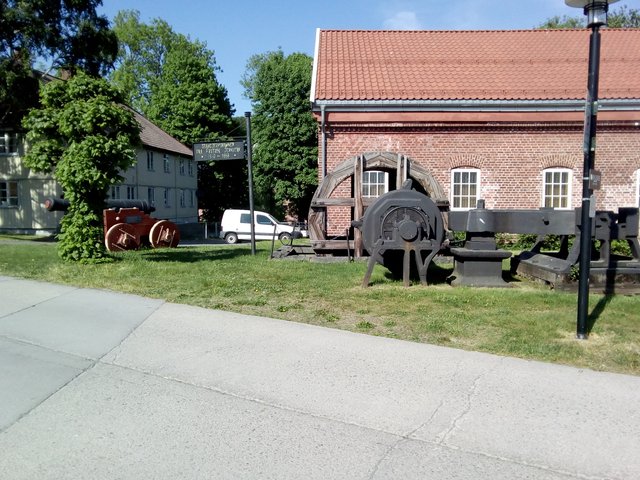
Some random photos from the area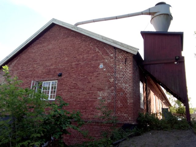
This kind of construction is not so common in Norway, more common in Denmark I think.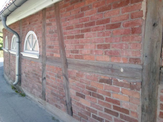
Climbing the hills. Fast ferry to Denmark in the background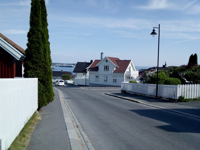
I didn't get to see much of the Farris lake. There are some few pixels of blue to the left of the house with many windows, that's Farris.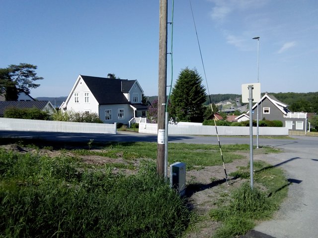
The region gets most of its drinking water from the Farris lake, and it's also bottled - "Farris" is also the brand name for the most famous bottled sparkling water in Norway.
(Previous weekend we went out sailing - and instead of doing a round-trip we decided to just leave the boat by anchor and go home for the week. I returned this weekend, did some varnishing and other work on the boat. I came by public transport, had a ~30 minutes wait in the town of Larvik Saturday, but I managed to miss the bus stop, so I got ~1 hour extra. That's why I had time for doing this sighseeing).
All photos available in better resolution on IPFS QmYyV5uCNxRxFigVHJfhjQ3jcUcpAQgVNzQLDRa5FgciDa. License: CC BY-SA 4.0
I can see parts of the constructed river bed in the picture and it looks amazing.
The construction of the riverbed is an amazing feat of civil engineering and architecture. I remember talking to my friend who is a civil engineer and he told me about rivers. The water that we see in flowing river is only part of the very large volume. In most cases that maximum water of the river actually remains underground and even when the river appears dry, one can dig a small well and reach it at a depth of just a few feat.
When an artificial river bed is constructed the whole surrounding ecosystem has to be kept in mind or the constructed river bed can collapse. It can also survive but then it might kill the nearby ecosystem. It takes a lot experiences and understanding to build something like that.
I thought I would point this out in the comment because people might not realize the importance of what's in the picture. Of course your other pictures are even more beautiful :-)
So that's the "exclusive" Farris water :D Isn't that also where the VOSS water comes from? lol
Nice pictures though!
I would guess VOSS water comes from Voss?
Vatnestrøm Aust Agder :D
Aha, so an unplanned or inadvertent sightseeing opportunity along the route this time. :)
Looks like you had quite the time investigating the water.
It's always been of interest to me how towns end up springing up where they do. In the town east of us, previous attempts to center it down river failed because of frequent flooding. So they finally managed to get it upstream to higher ground. This was all back in the latter part of the 1800s, so it's hard to tell exactly what made the first locations that much more desirable since it's still low lying land that's subject to flooding.
I grew up in a town that was originally built along a highway that was the first to connect several towns on a north and south route. Then, later the freeway was built farther to the east and the town kind of got bypassed, although by then it was pretty well established with towns not that far away which are still easiest to access via the highway.
It probably would be a larger town or small city by now if not for the freeway being built.
I didn't consider flooding. The current center of Larvik is surely safe against any kind of flooding.
The bigger river was important due to the timber trade, but it does have problems with flooding from time to time.
a had to do some Wikipedia. a was sure t was seems like it was a timber trade the inland farms transporting it down River and who founded Larvik as a trading city. foreign merchant ships was trading timer in a large scale there. cool photos. a like the wood pipe.
Of course, I didn't think of it - but it's quite right, the big river (Numedalslågen) has been used for timber transport. However, Larvik does not seem to be centered around Numedalslågen.
ye the Wikipedia did not mentioned it. Perhaps the city has moved a bit in modern times
Congratulations, Your Post Has Been Added To The Steemit Worldmap!
Author link: http://steemitworldmap.com?author=tobixen
Post link: http://steemitworldmap.com?post=larvik-fritzoe-verft
Want to have your post on the map too?
Very interesting, thank you
Great pictures mate and this one hell of a tube.
Great place
It remember my childhood.