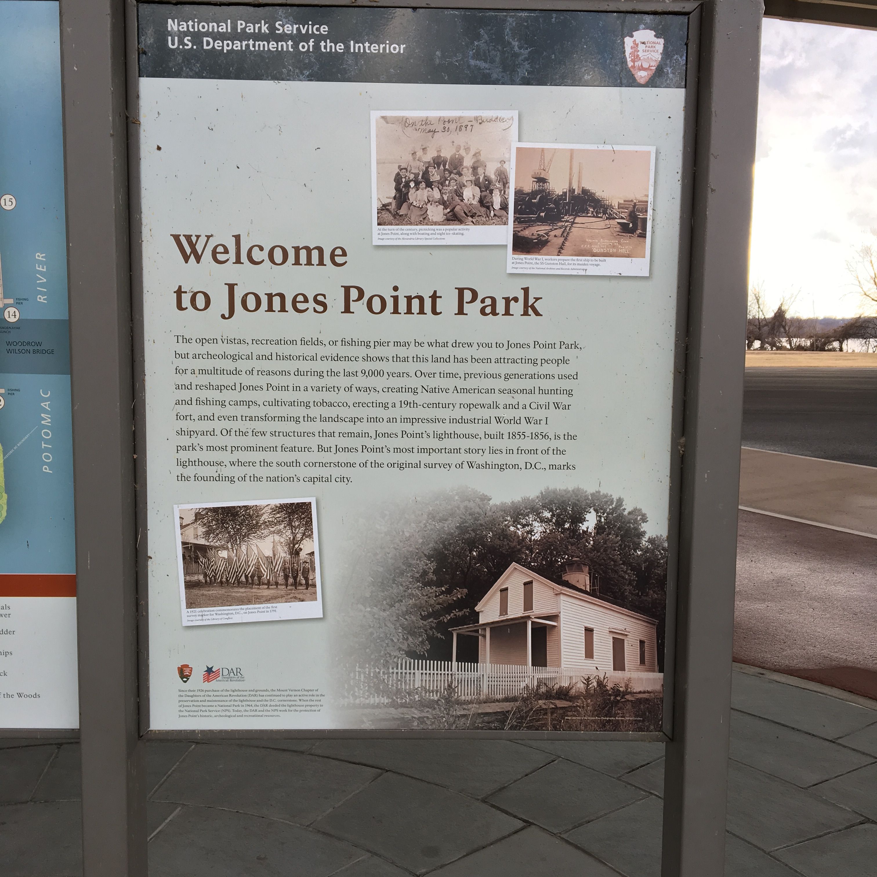
Walk With Me - Jones Point Park/George Washington Memorial Trail
Sort of still around my neighborhood, but a little more interesting! This will be a pretty extensive #walkwithme / photo-tour of the park!
Lets get going!
I drove and parked in the lot, but could have walked over if I wanted to make this ruck a bit longer...
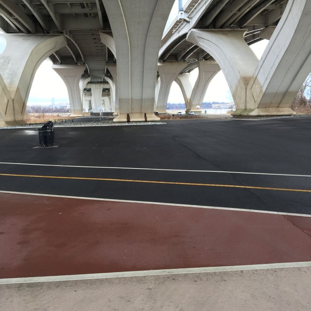
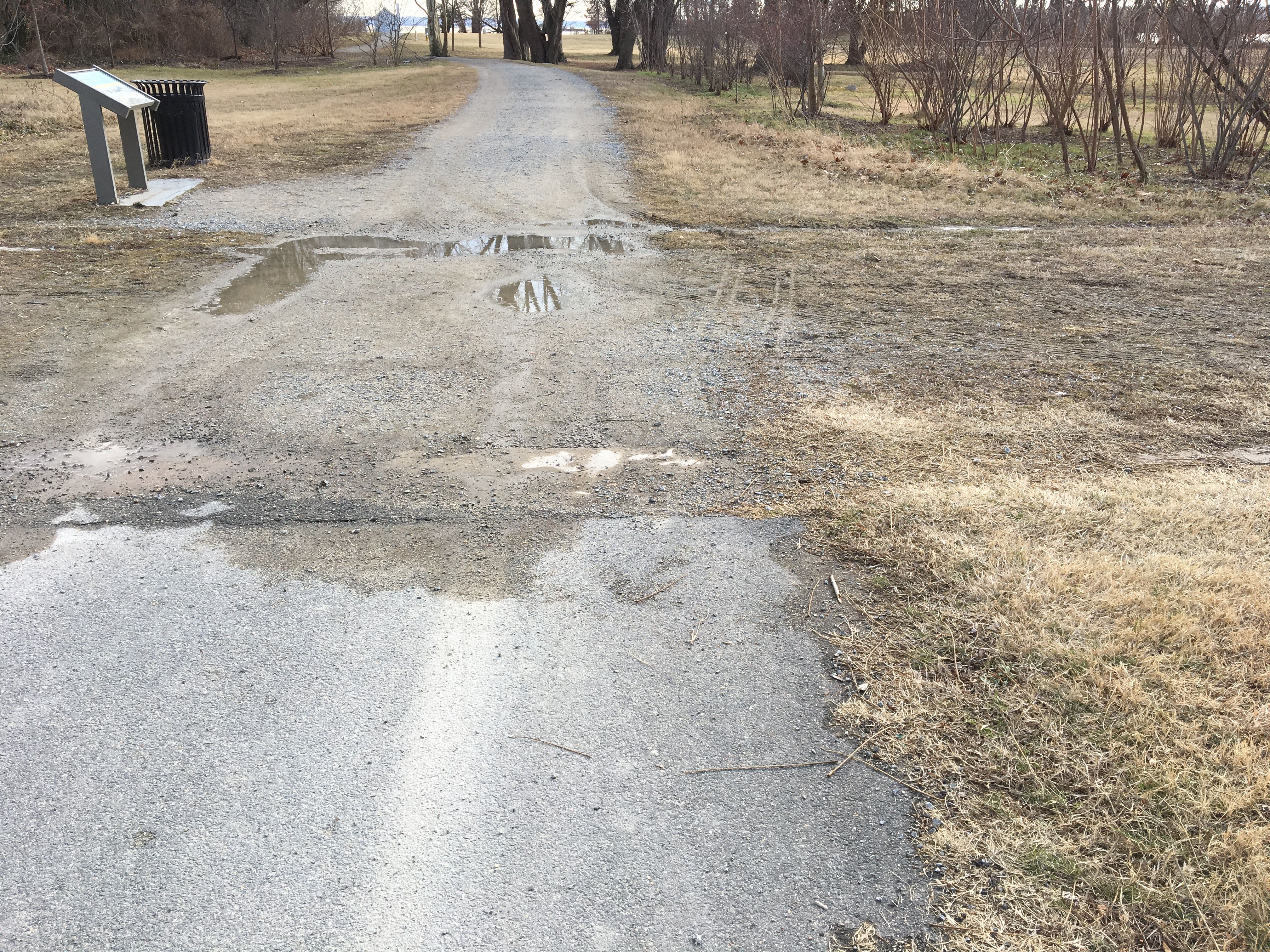
Looking left from the welcome sign... A good chunk of this park is underneath the Woodrow Wilson Bridge (I495), This offers a nice shaded area when its hot out and a nice mostly dry area if its raining, making it an excellent place to bring the kids if you just have to get out of the house!
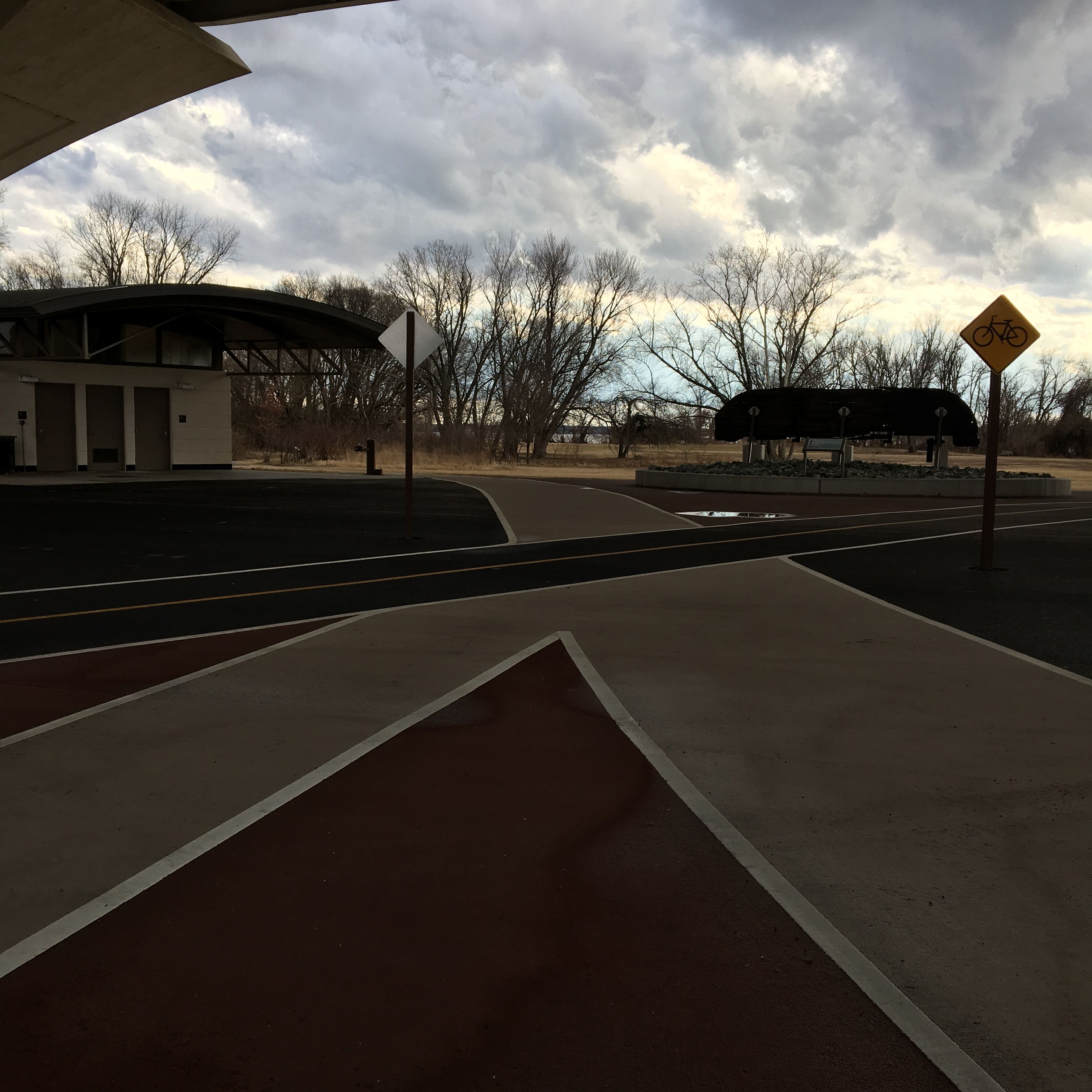
Directly behind the sign is this bathroom and that interesting thing there on the right, lets walk over there!
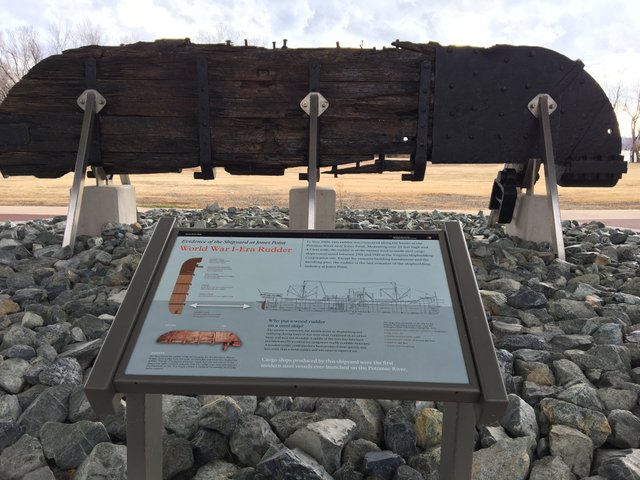
Its an old ship's rudder, more on why it is here later!
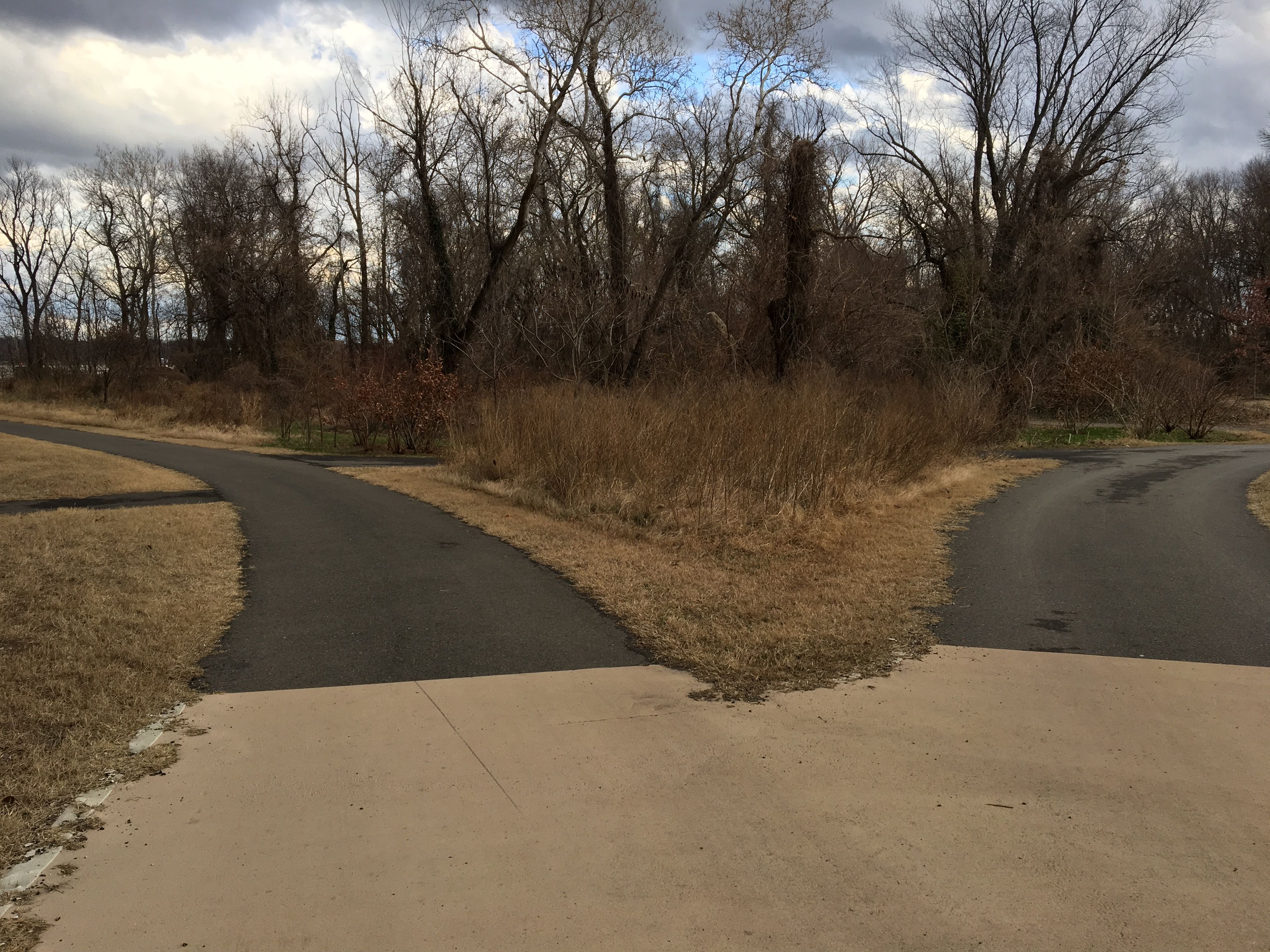
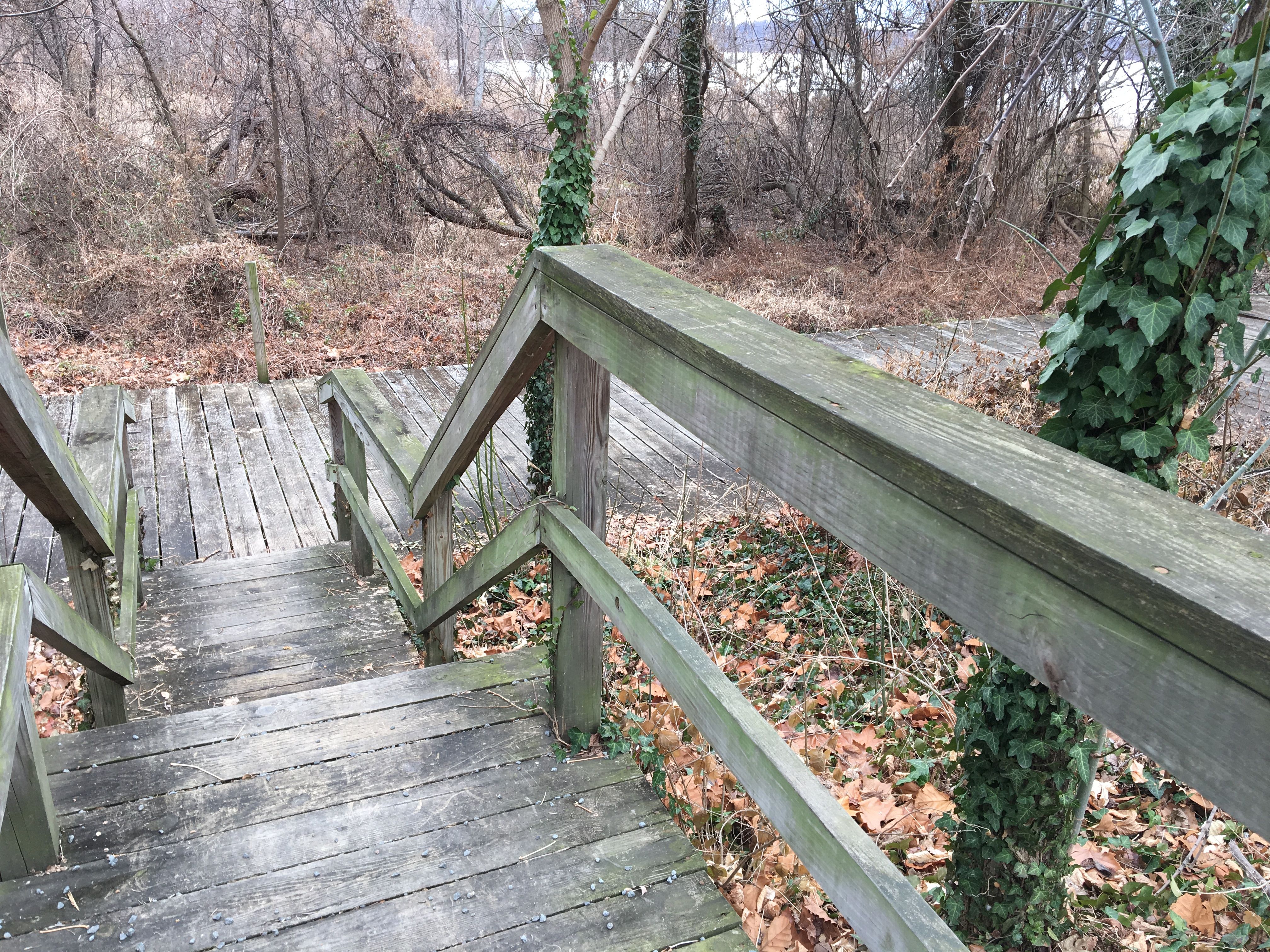
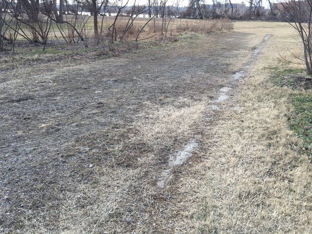
Moving beyond and to the left of the rudder we reach a fork in the path, I'm not sure which is less traveled so I'll just take the one on the left...
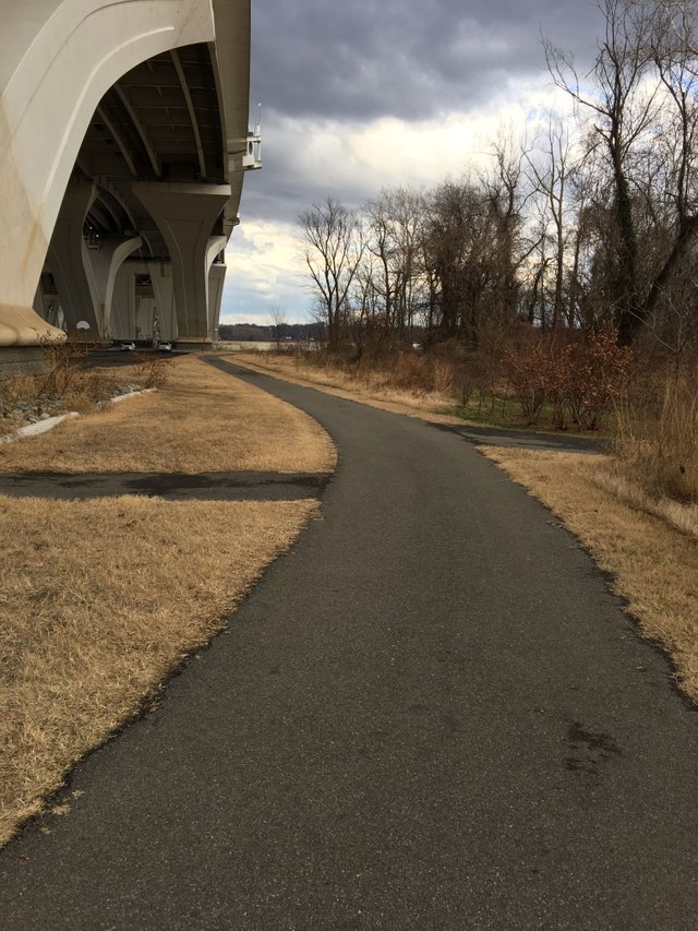
We're out from under the bridge and moving towards the Potomac River...
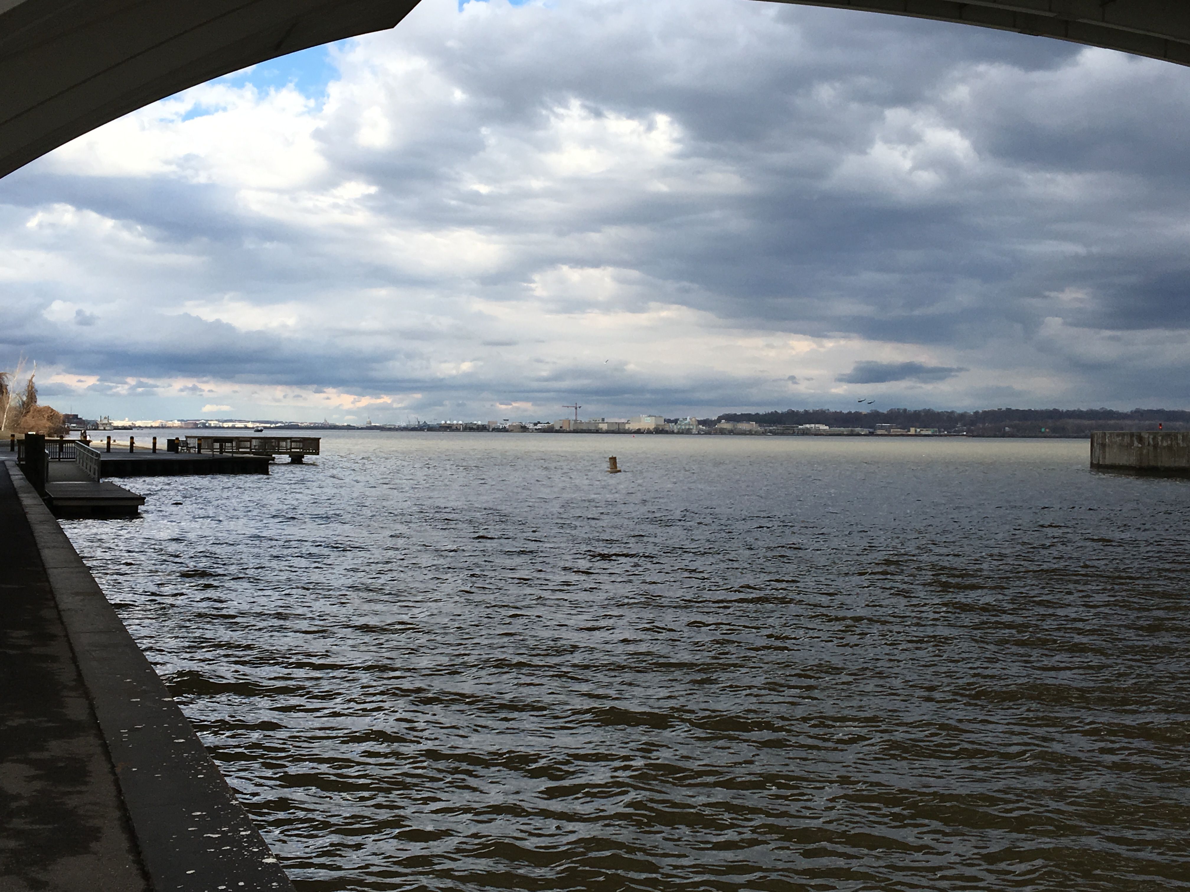
Back under the bridge and looking up (north) the river towards DC.
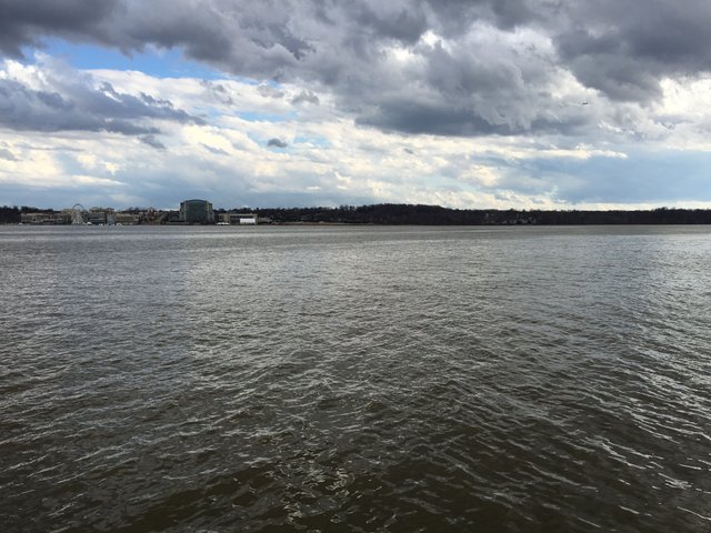
A little more WestSouthWest shot of the river and the Gaylord/National Harbor area.
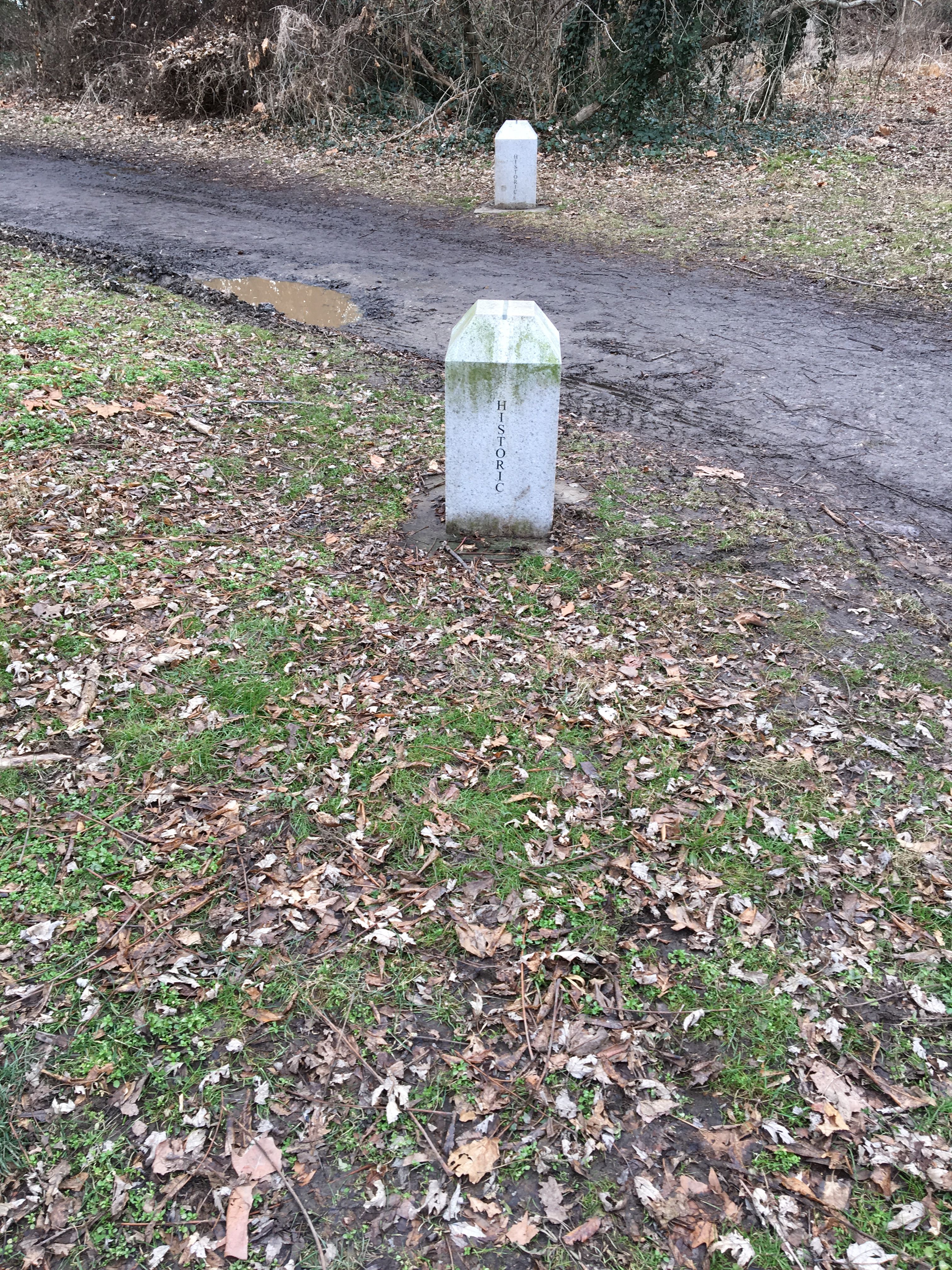
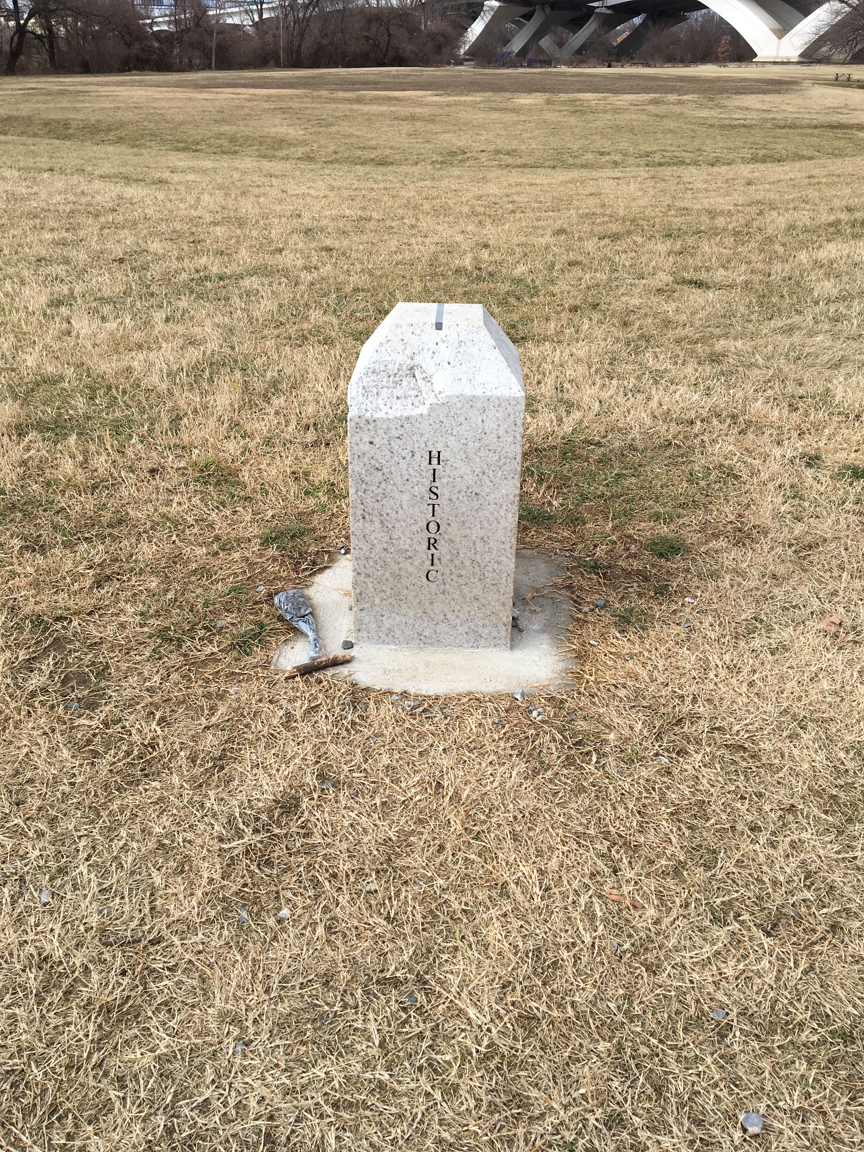
Continuing to the south on the trail we reach one of the interesting aspects of this park.
Those "Historic" stones are boundary markers for what was once the boundary between Washington, DC and Maryland when the district was an even four sided square. Therefore, all previous photos in this post were taken in "historic" DC and the next few will be in "historic" MD.
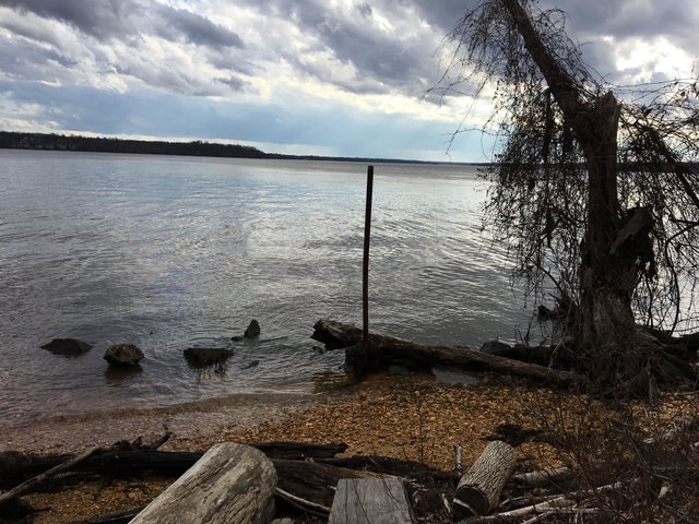
Looking down (south) the river, George Washington's Mount Vernon is about 10 miles down the river.
Another set of Historic MD/DC Boundary Stones... We're about to turn the corner.
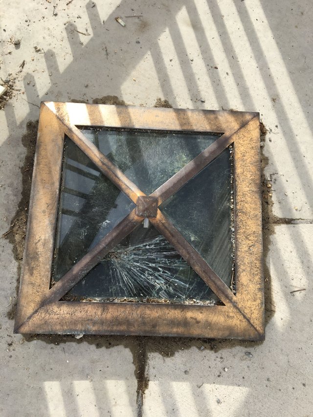
Underneath this protective enclosure is the Original Southern Cornerstone of the District of Columbia.
It has been pretty worn by weather, floods and likely vandals, but nevertheless its still there!
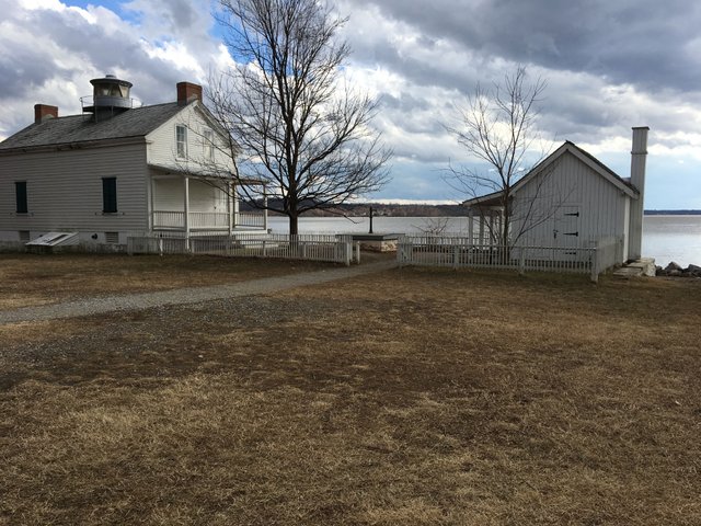
Straddling the historic line between DC and Virginia we can get a nice photo of the Jones Point Lighthouse.
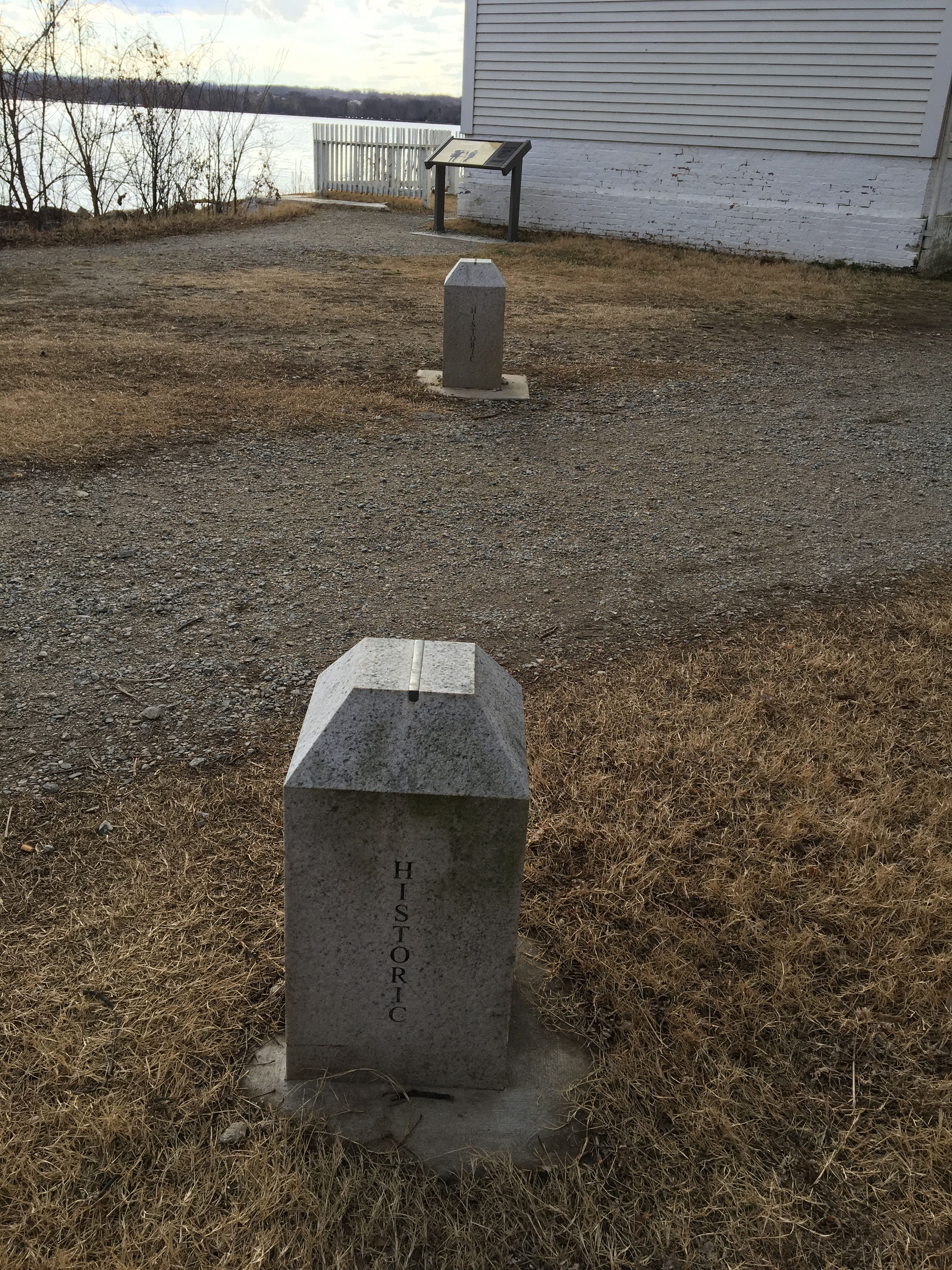
The last boundary stone photo today! Virginia to the left, DC to the right.
Lets get to more walking and a little less history...
Despite the warm January weather there weren't a lot of other walkers or runners out today.
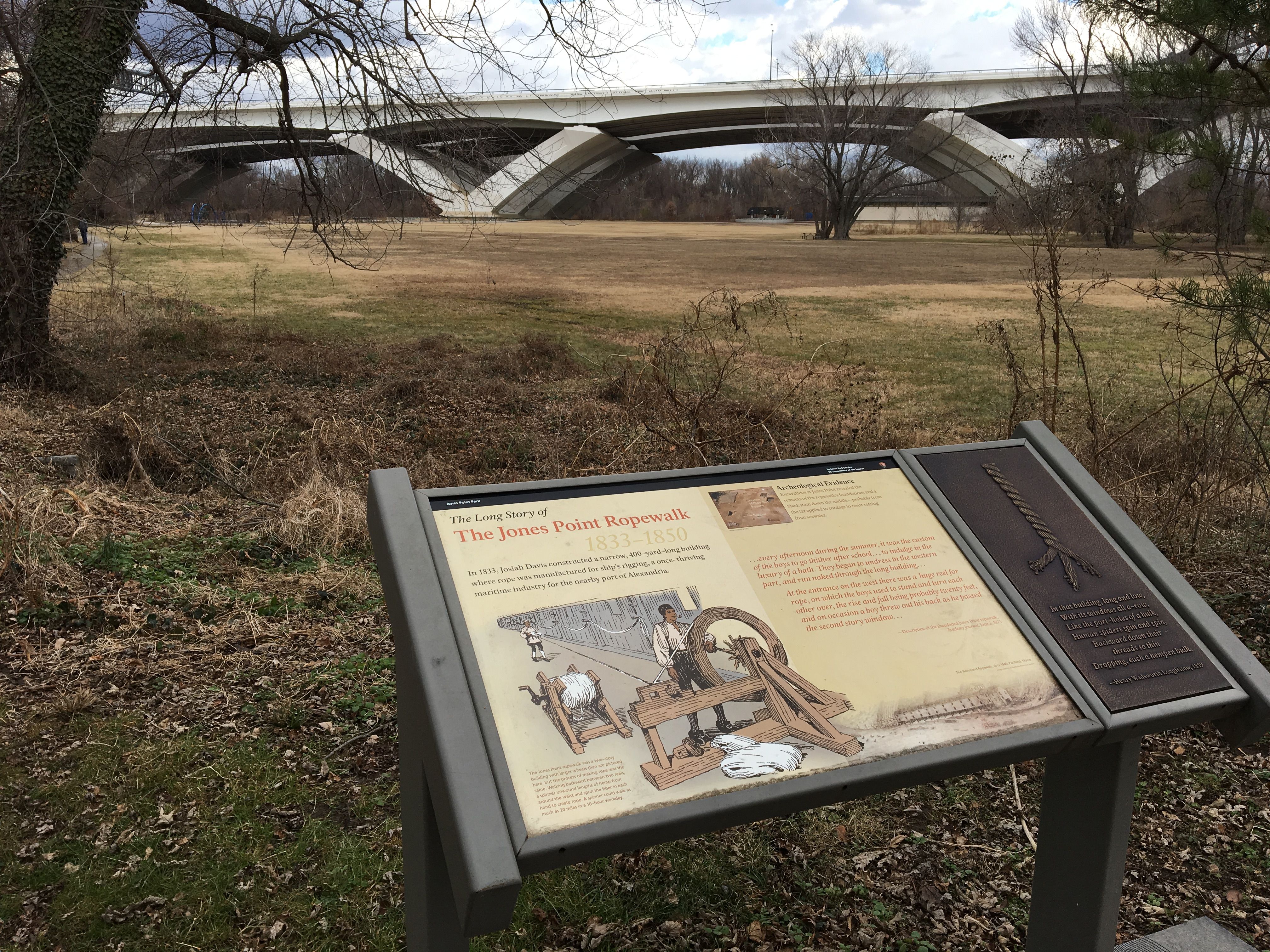
Okay, I couldn't help myself, another history photo! Jones Point used to be home to a ropewalk. Back in the olden days a lot of space was required to make big strong ropes and this spot on the edge of town was perfect for it.
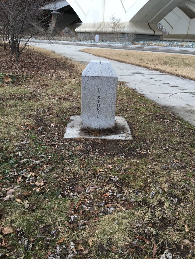
Uhhhh.... More historic boundary stones!
Almost back to the GW Trail, but first...
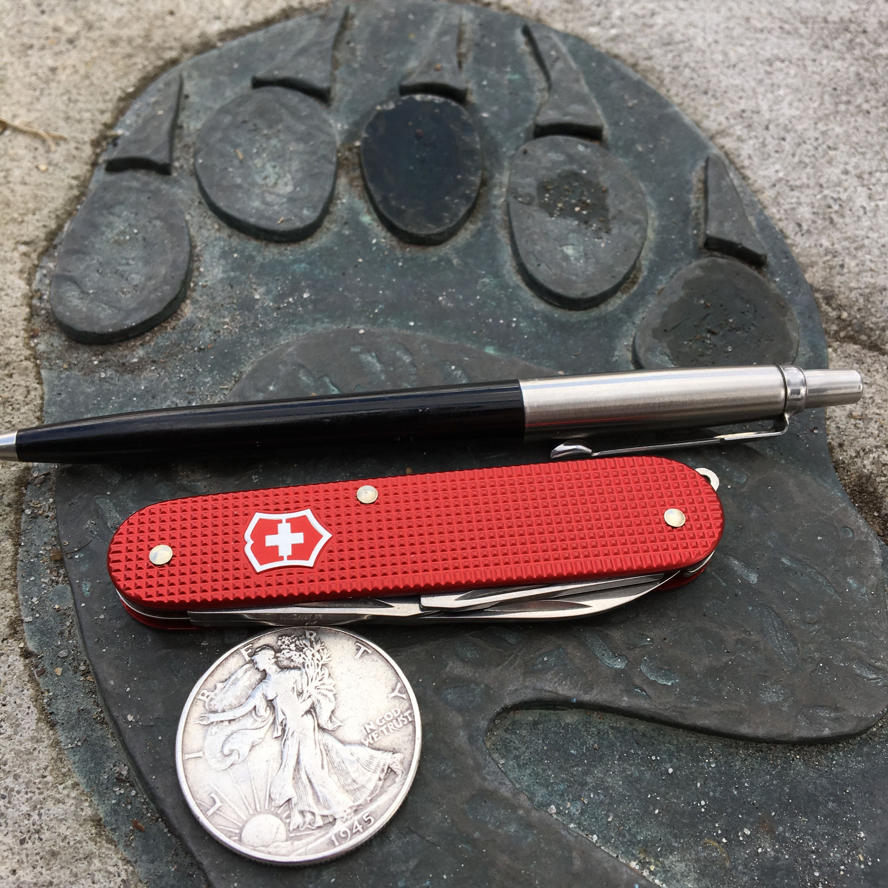
A quick pocket-dump for #steemedc on a bear footprint!
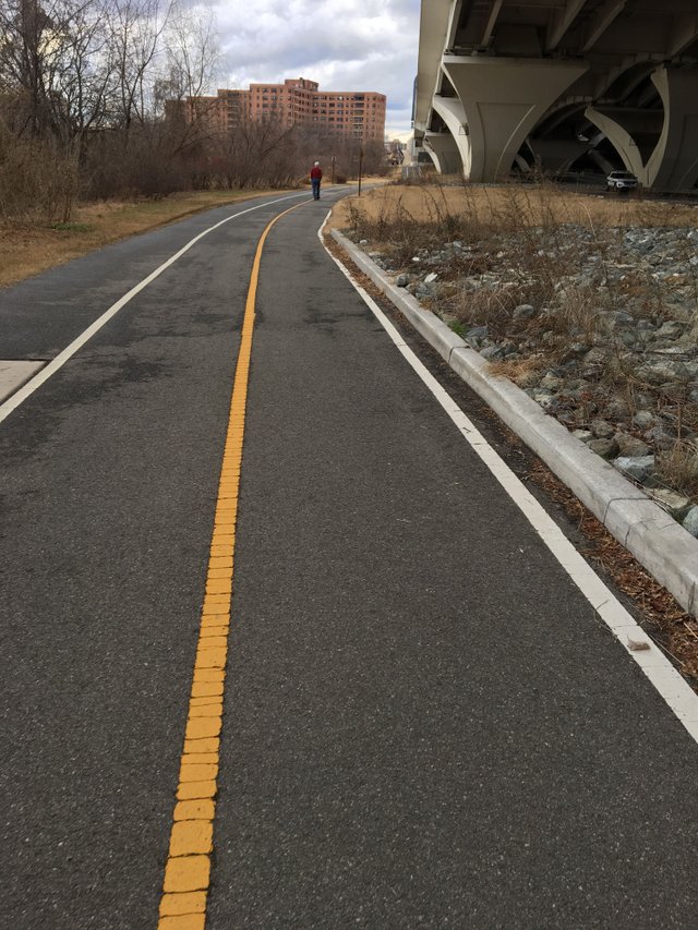
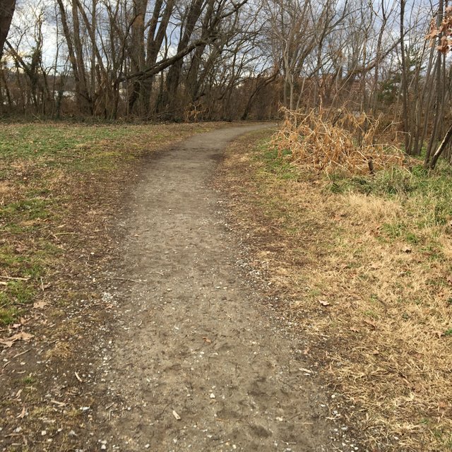
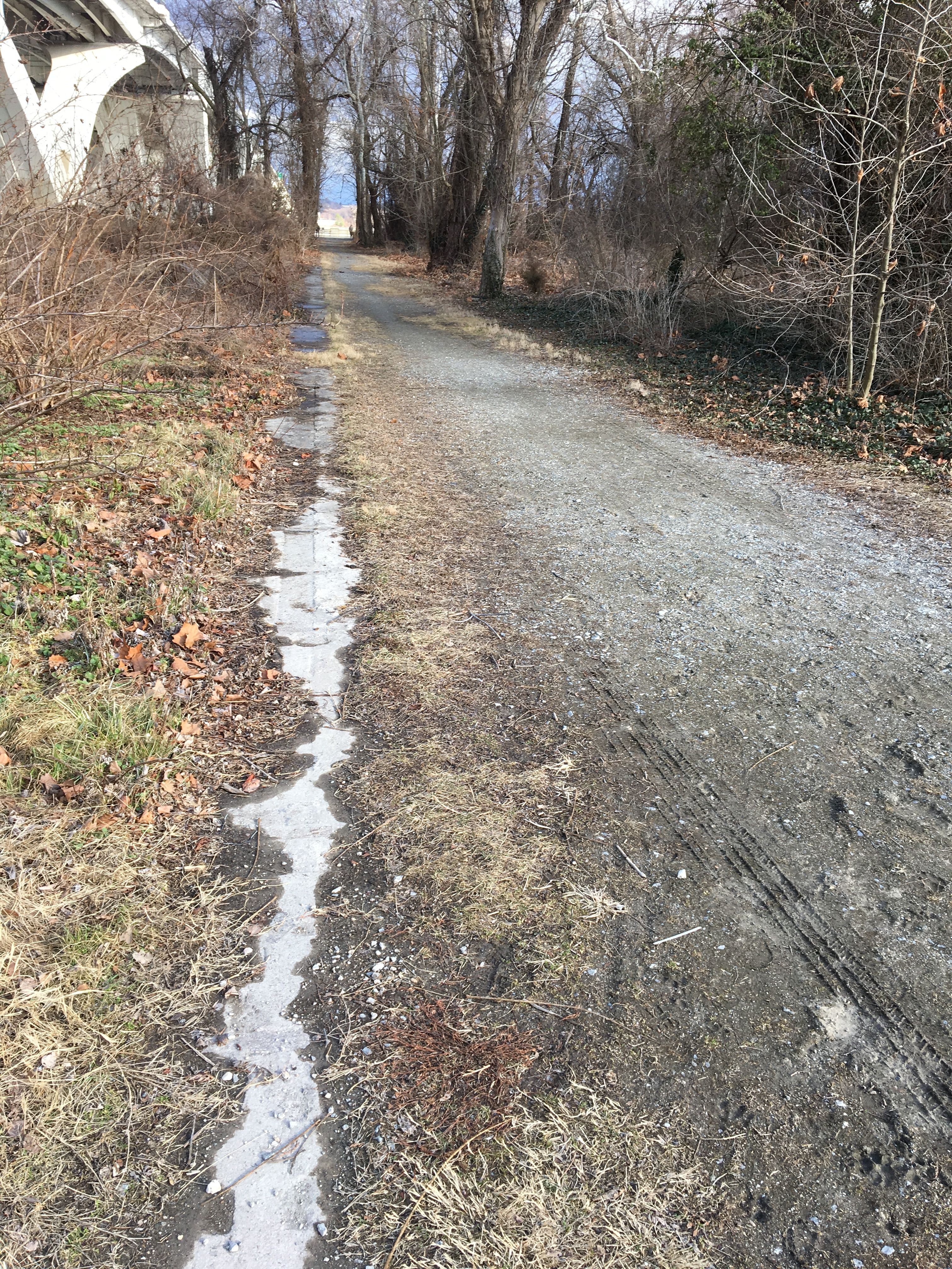
On the trail...
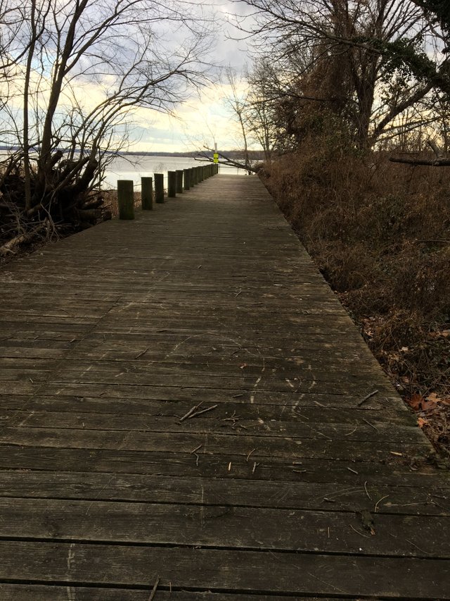
Oh look! A small pier!
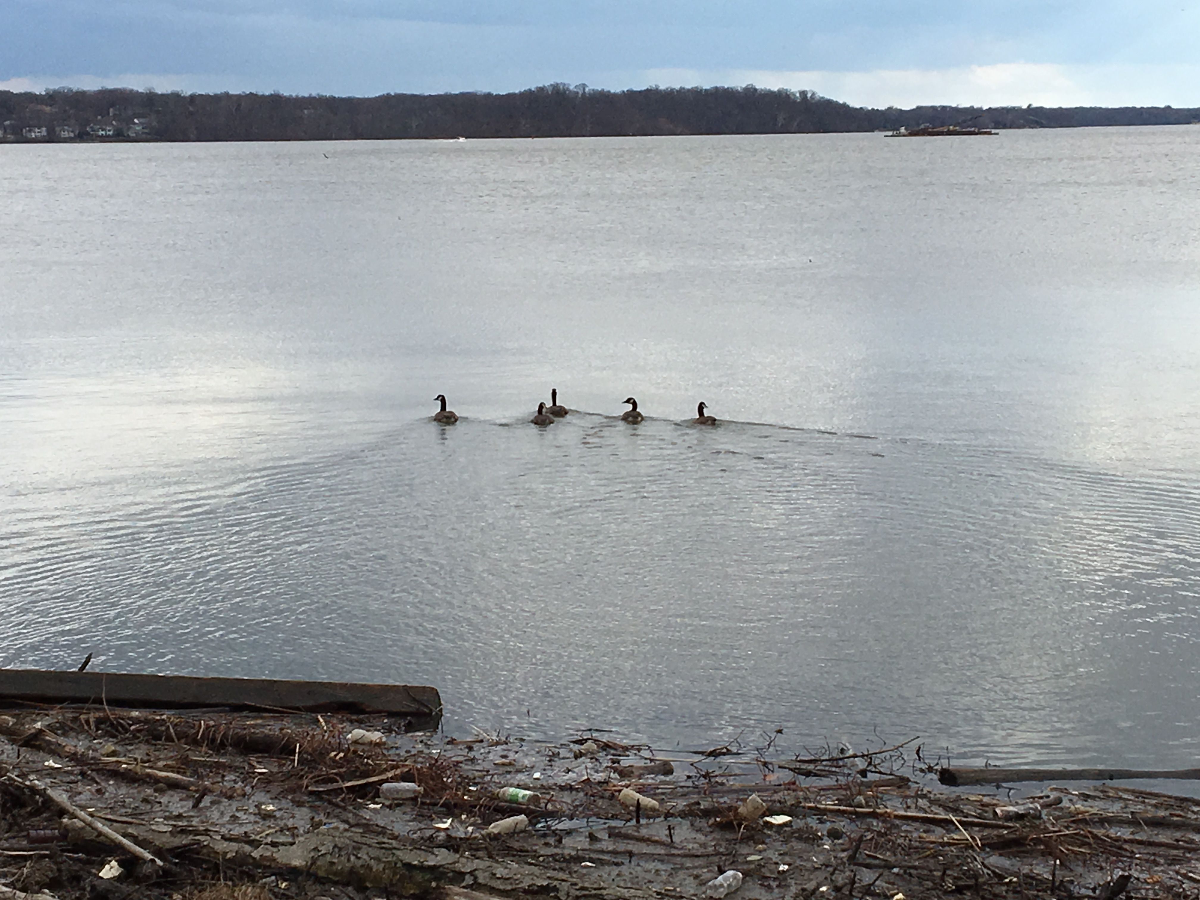
Complete with wildlife!
OK, OK, back to walking...
Almost up to the top... I walked about another mile then turned around and came back into the park... Nothing else too exciting presented itself for any solid photos during that walk so we'll jump to one more historic fact about Jones Point!
Remember that fork I went left at back in the beginning? Well if you go right you see what looks like some very wide tracks...
This was the site of a shipyard during World War 1. It built merchant/cargo ships for the immense supplies that needed to be moved to Europe during that time!
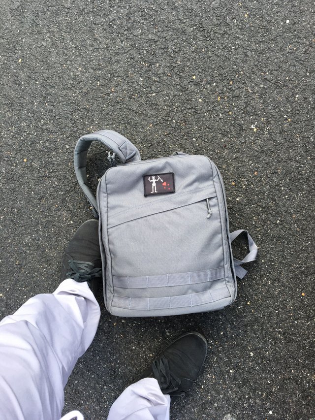
I hope you enjoyed this looonnnngggg post/walk! I did about 3 miles total and of course had my Goruck Echo with 30lb plate along for the adventure...
Thanks for tagging along!
Wow!! Great #walkwithme! So many photos!! I loved the Geese... <3 <3
Thanks! I might have gotten a little carried away with the photos, haha!
Those historic markets separating DC and MD are pretty cool.. I've been to DC a couple times and never noticed them..
Yea they're a fun bit of history! They're actually completely in Virginia now, just realized I wasn't totally clear about that in my post... They just mark the border from when George Washington first had the district established and Alexandria was included within those borders. Now the western border of DC is the Potomac river and Alexandria is back in Virginia.
I think you can still find some of the actual markers along the current borders between DC and MD as well as other historic markers in a few places in Northern Virginia...
Beep! Beep! This humvee will be patrolling by and assisting new veterans, retirees, and military members here on Steem. @shadow3scalpel will help by upvoting posts from a list of members maintained by @chairborne and responding to any questions replied to this comment.