The Secrets of Lake Superior
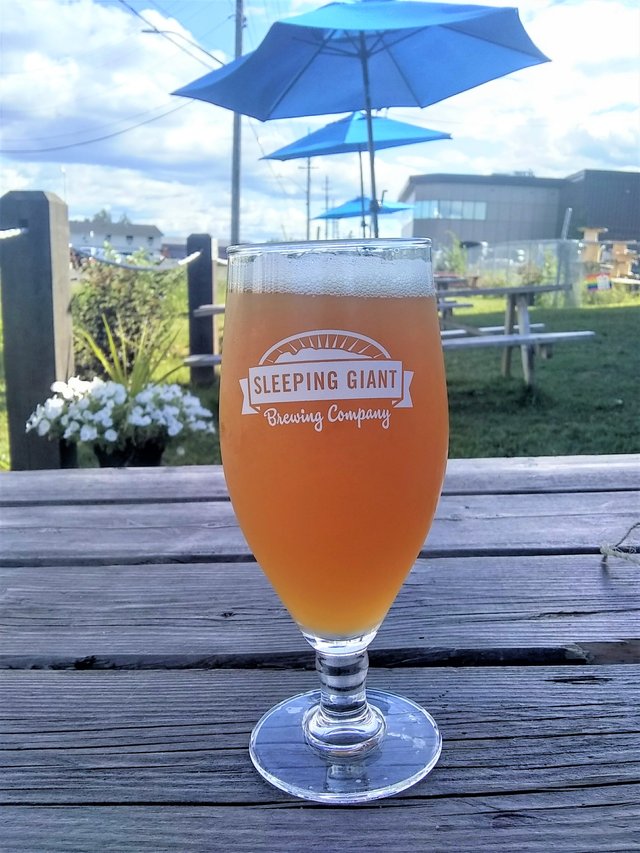
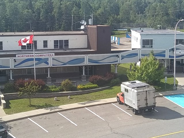
After leaving the Ontario oasis that is Quetico, we continued onward to Thunder Bay. I'd only been to Thunder Bay once before, back when I was hawking mops and Mr. Stickies a decade ago, so I was kind of excited to revisit and rediscover. Our first stop was to Sleeping Giant Brewing, where we took to the patio and each had a delicious mango IPA. We also received lots of admiration for Kitty Kitty from some of the other patrons and quickly made friends.
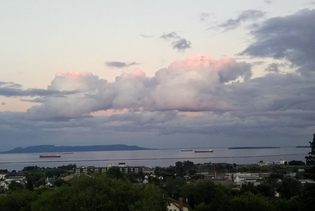
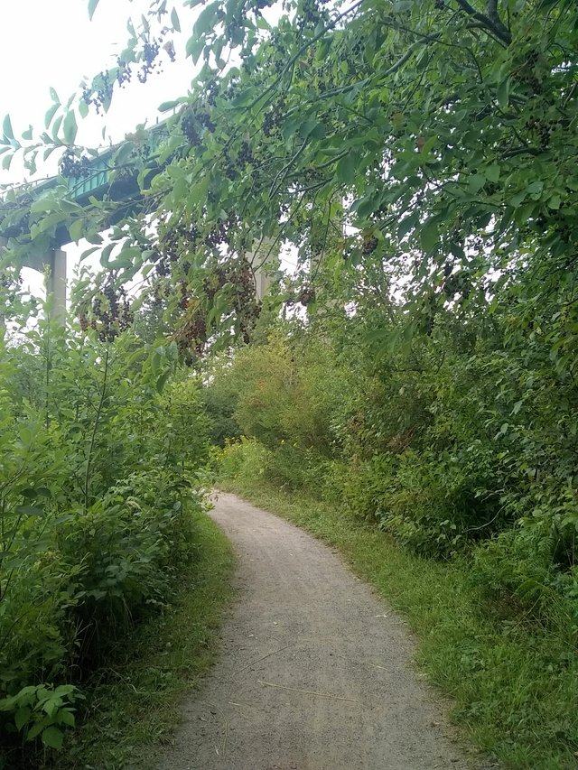
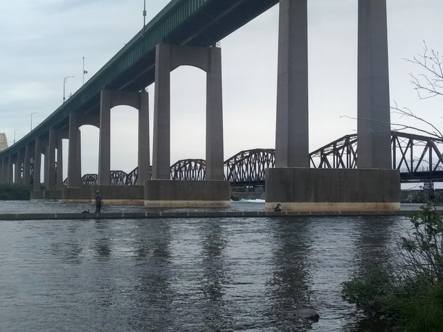
We also hit up the patio at my old haunt, Madhouse pub. And then we took our server’s recommendation and watched the sunset from the top of the hill in Hillcrest Park, which had a spectacular view of the bay and Sleeping Giant in the distance. The next day we strolled along the Current River Greenway. And before leaving town, we got our cheap gas ($0.99/L!) during a ten minute detour across the bridge, which even came with a free ice-cream cone.
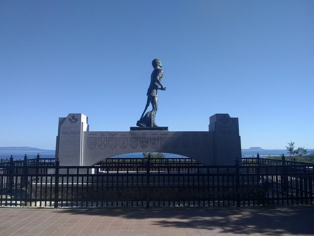
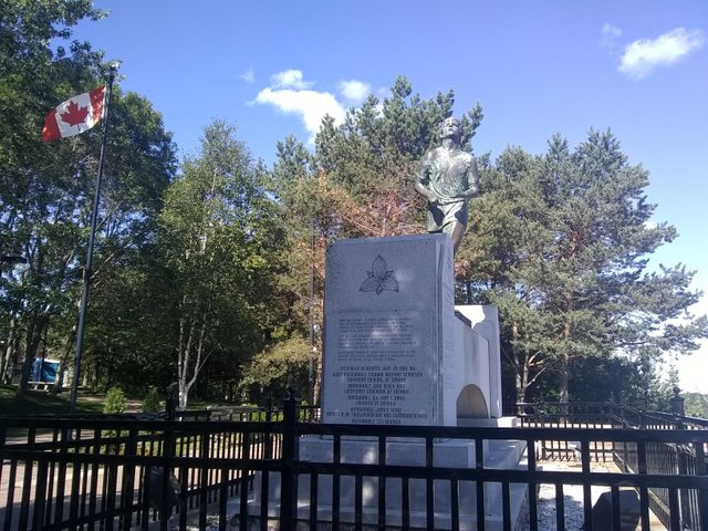
We left Thunder Bay and started our short trek towards Sleeping Giant provincial park, but first made a pit stop at the Terry Fox Memorial/lookout. The lookout is here because it was this area outside of Thunder Bay where Terry was forced to stop his run across Canada when his cancer returned. I didn’t realize how very young he was (he died at 22).
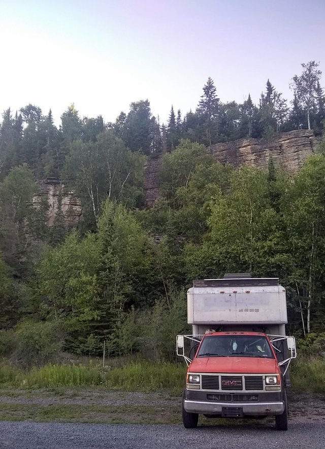
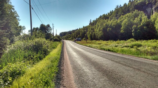
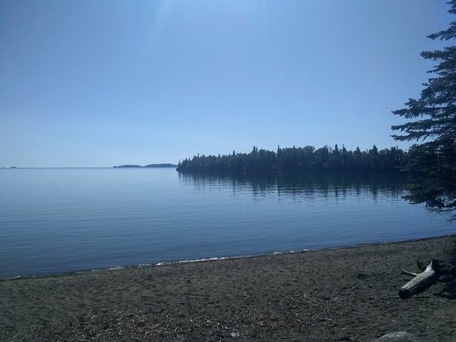
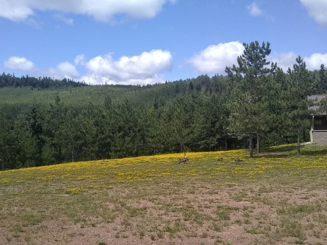
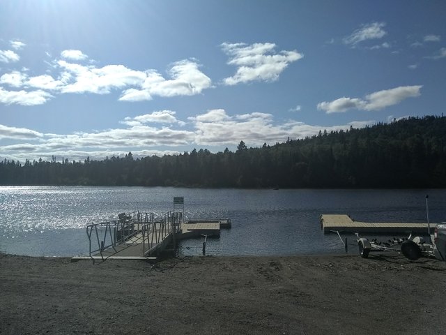
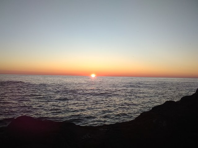
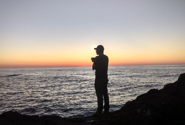
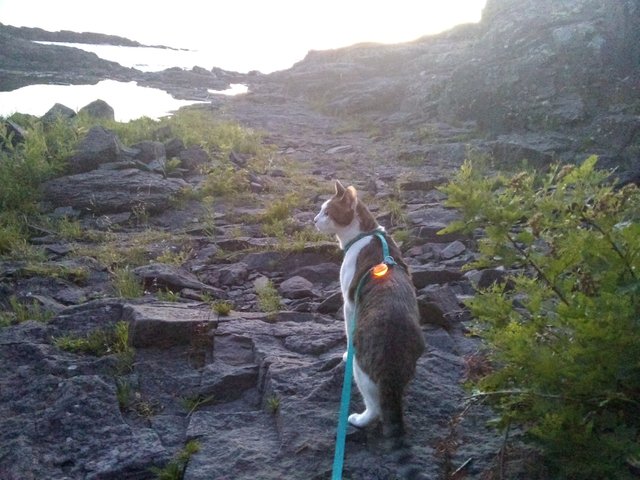
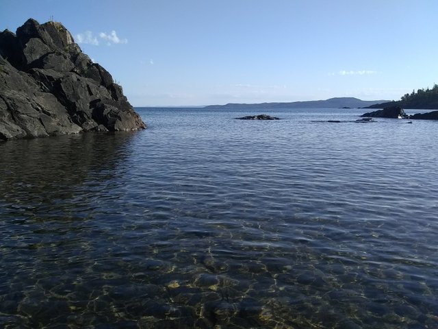
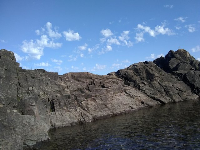
We then arrived at the start of the peninsula that ends with Sleeping Giant park. Since it was getting late in the day, we decided to stop at Pass Lake for the night. We’d found it on one of the free camping websites and saw that you could park in the gravel lot near the hill where all of the rock climbers go. There were a few other vanlifers who joined us for the night. Shane and I took our inflatable raft over to the lake and got in where the locals had installed a rope to get down into the lake from the side of the highway (because the nearby campground beach they would normally go to was closed to non-guests due to covid). We had a nice little float before sunset.
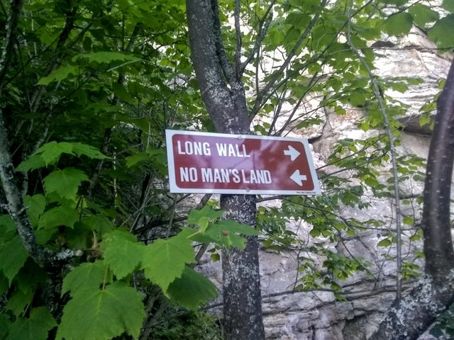
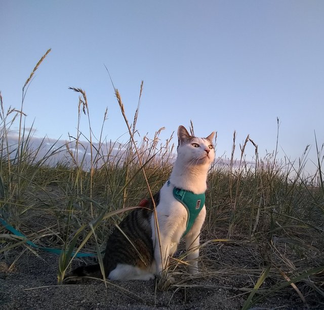
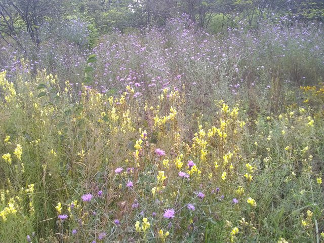
Signage near the rock climbing hiking trails:
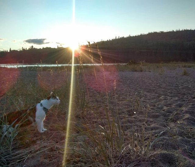
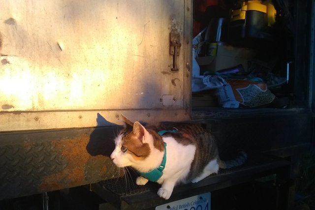
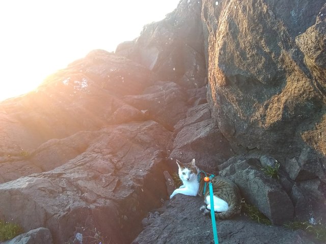
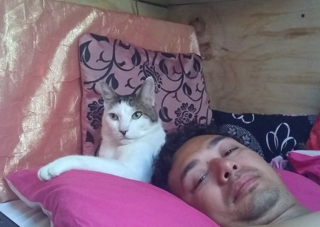
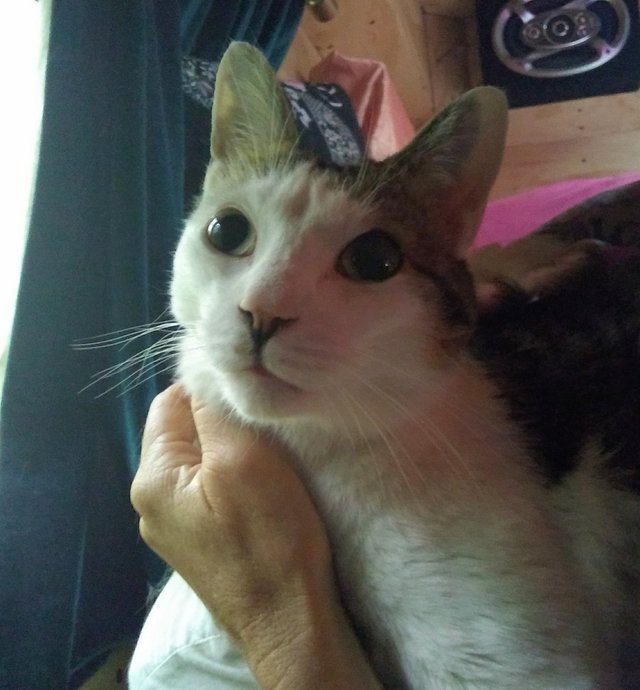
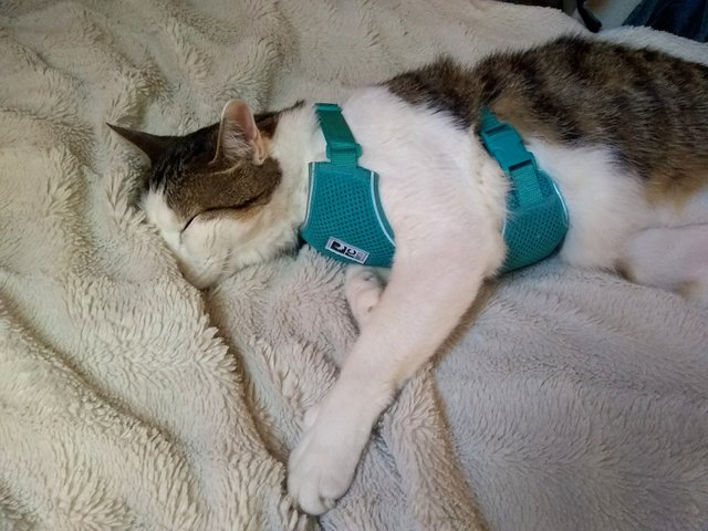
And then there was this guy, all choked because we went to the lake without him:
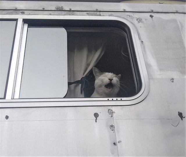
You could hear his meow for miles.
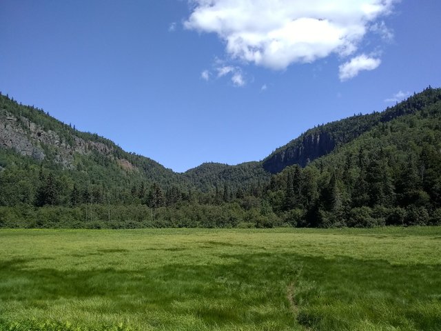
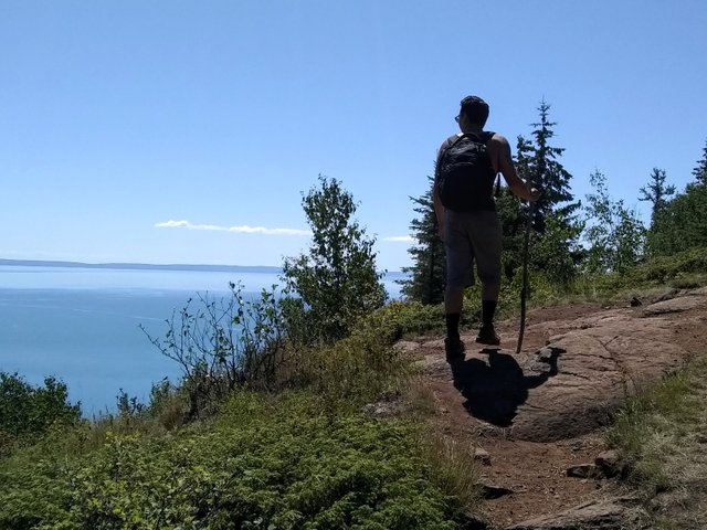
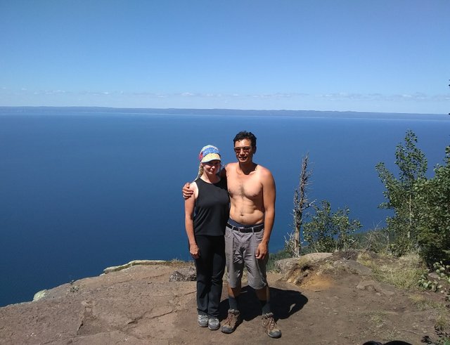
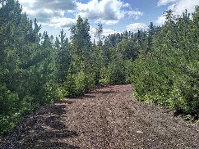
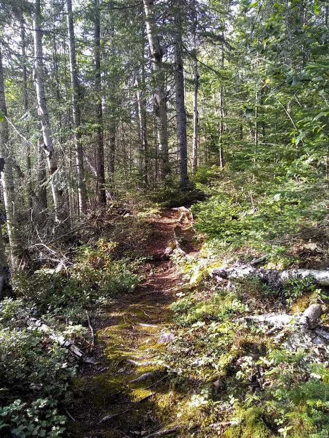
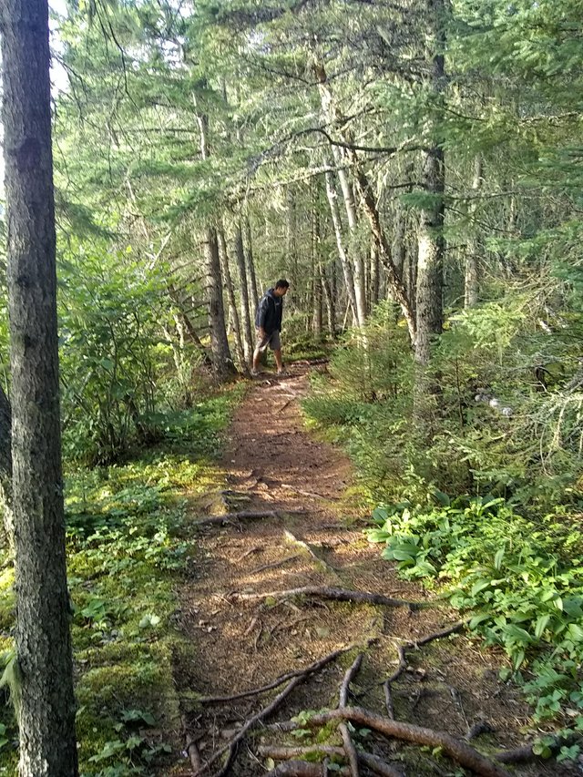
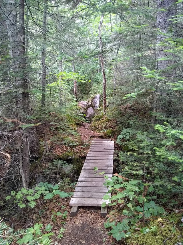
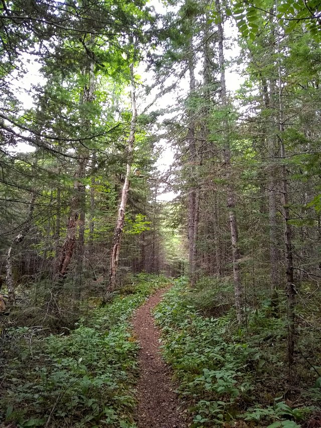
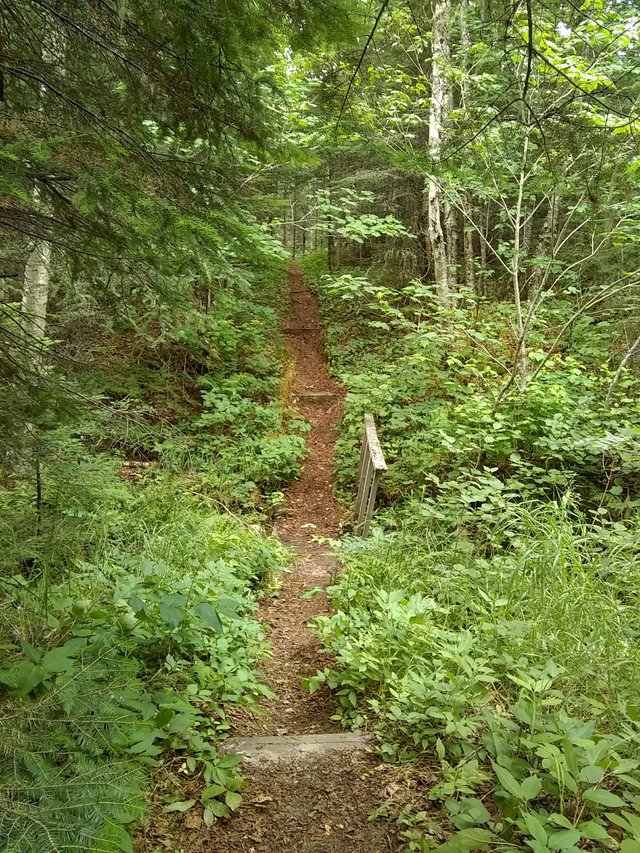
We woke the next morning, had breakfast, packed up our lunch and headed onward into Sleeping Giant Park for our epic hike to the top of the Giant. It’s normally a 6-8 hour hike of roughly 22.4 km round trip (13.9 miles) to the top but we opted to shave off some time (10km, or about 6 miles) by riding our bikes to the beginning of the trail that goes up the mountain. Still, that’s about a day’s commitment, especially with stops along the way. And the trail we biked over is no joke, chock-full of rocks and tree roots.
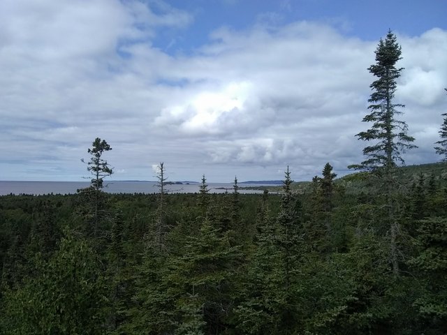
Scenery along the bike ride:
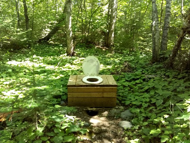
Outhouse in the woods:
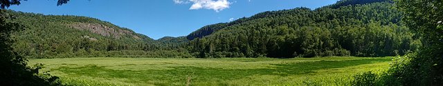
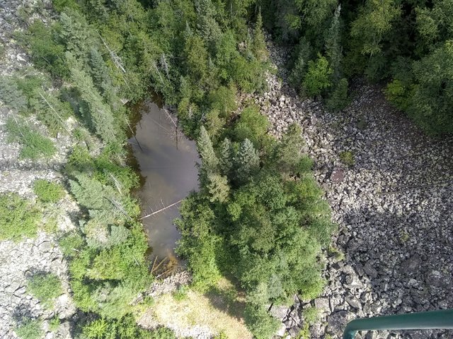
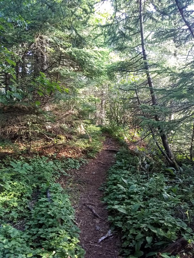
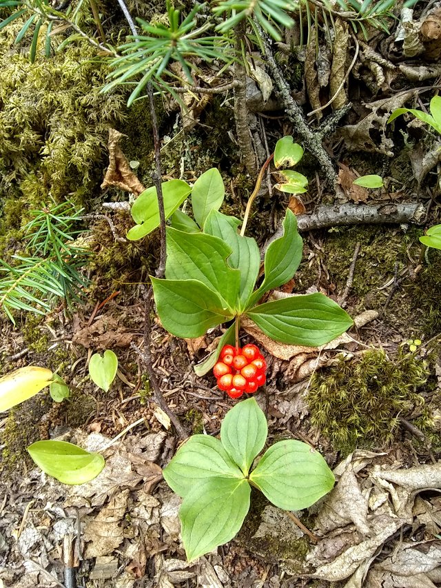
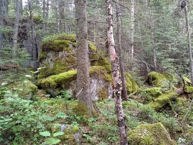
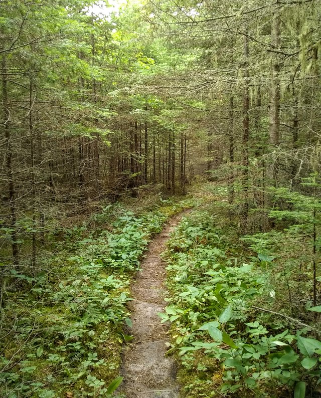
Near the start of the 3.3 km point of the upward trek is this amazing thicket:
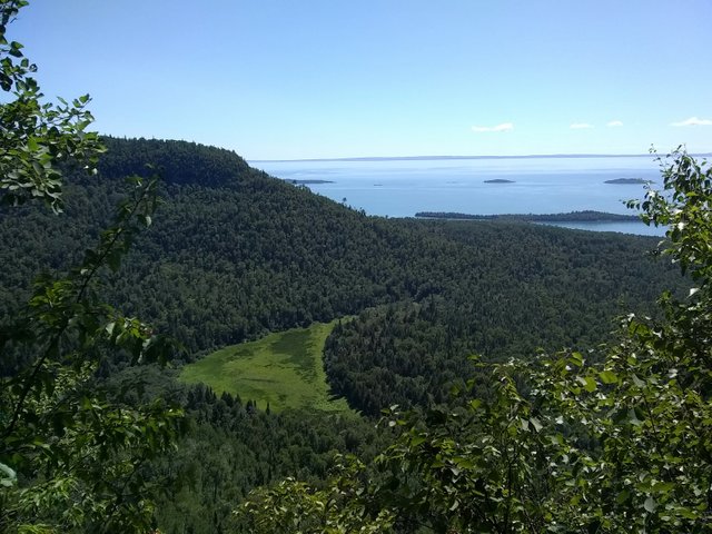
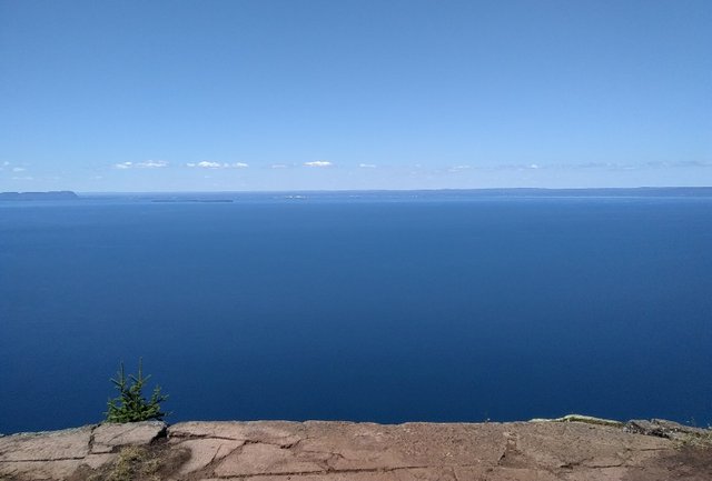
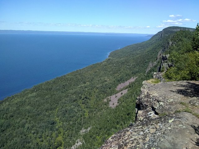
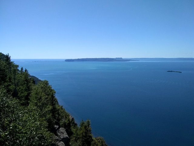
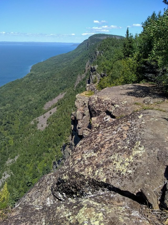
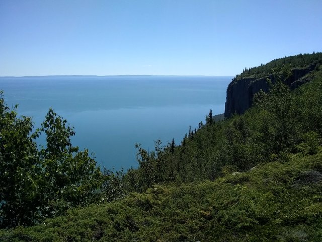
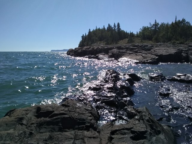
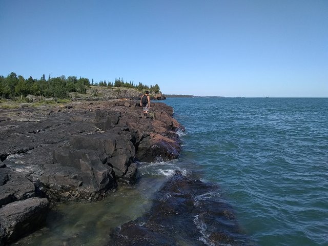
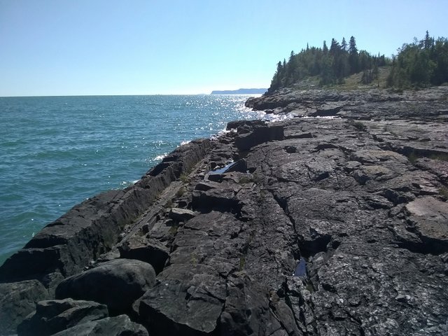
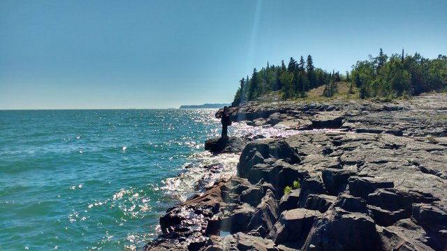
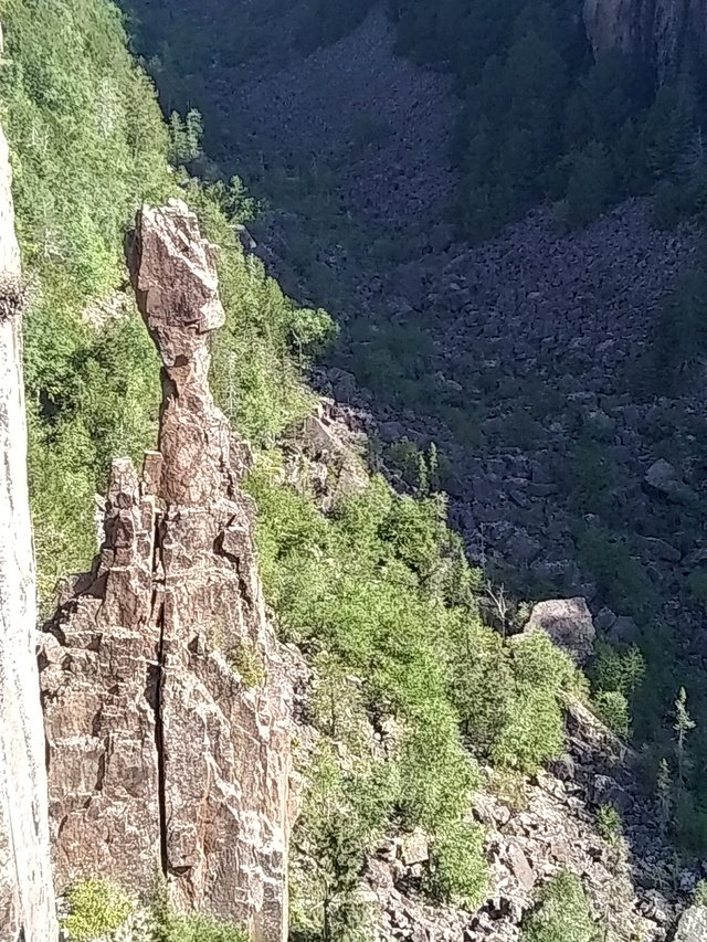
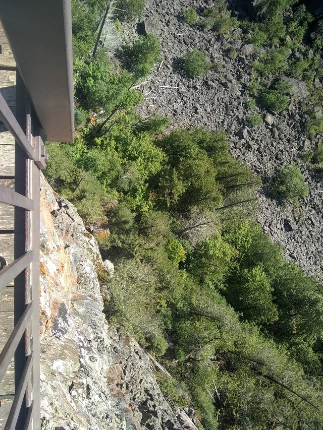
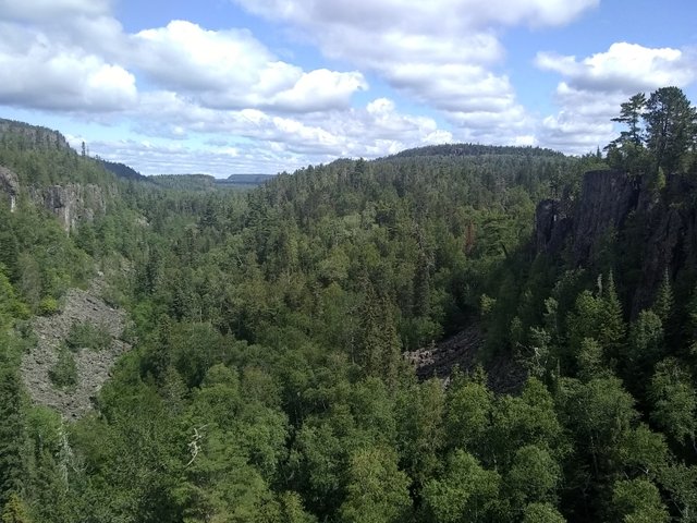
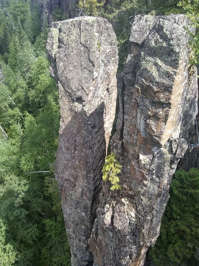
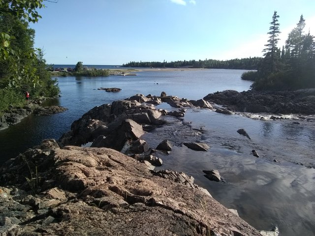
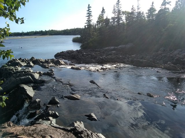
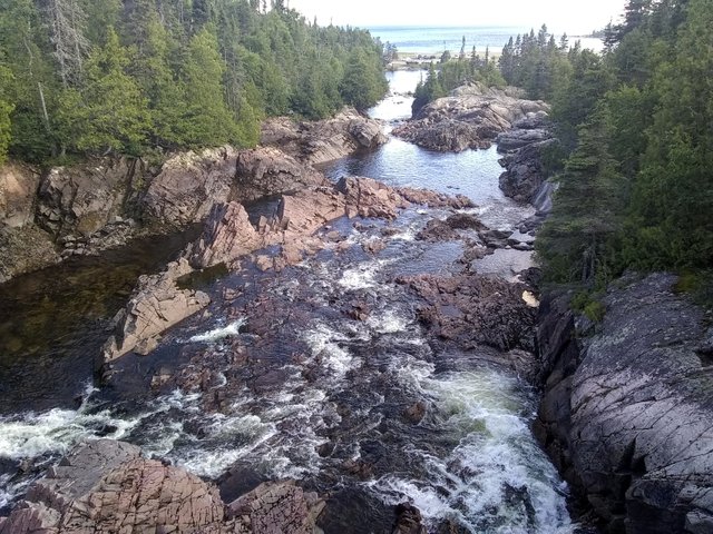
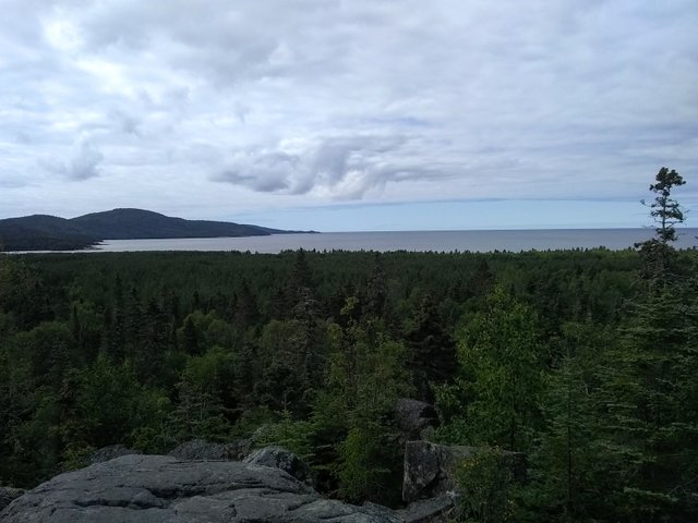
And then the stunning views nearer to the top proved the hike to be well worth the effort:
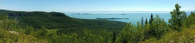
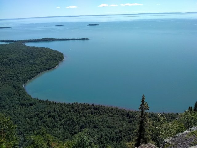
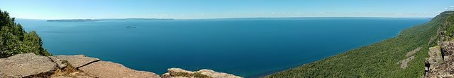
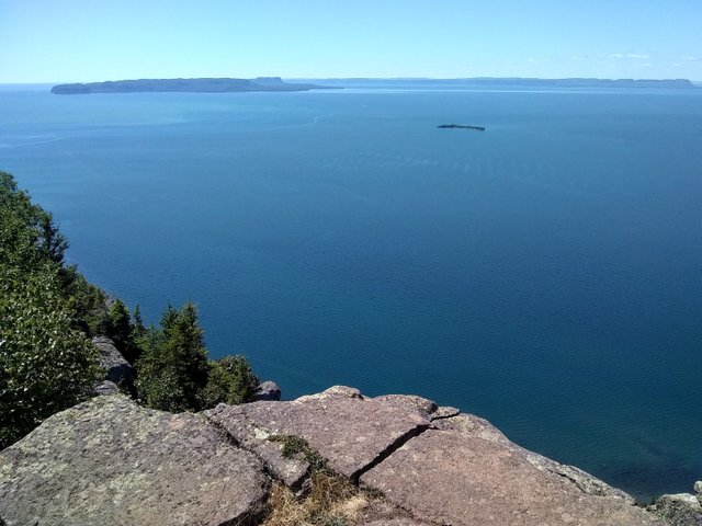
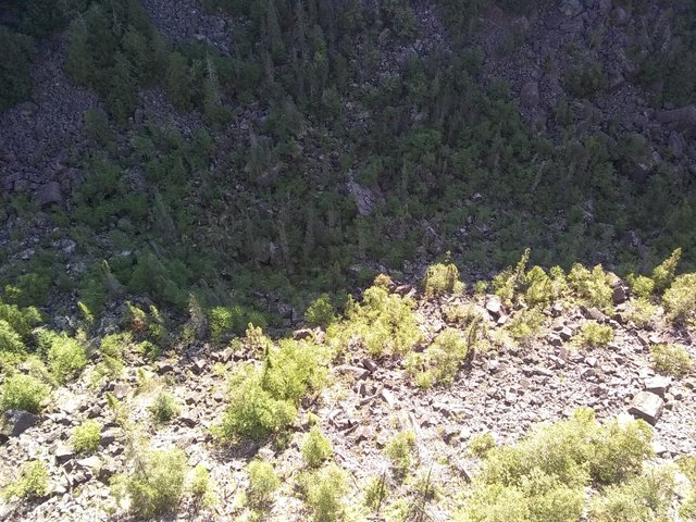
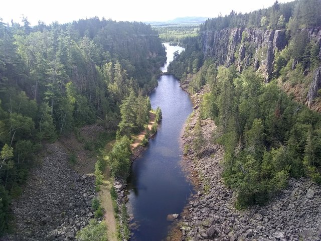
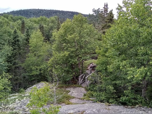
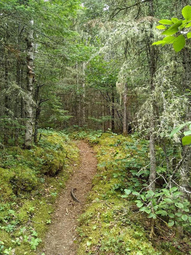
We traveled the last portion of the trail to where the Gorge and lookout are, where the views are even more stunning:


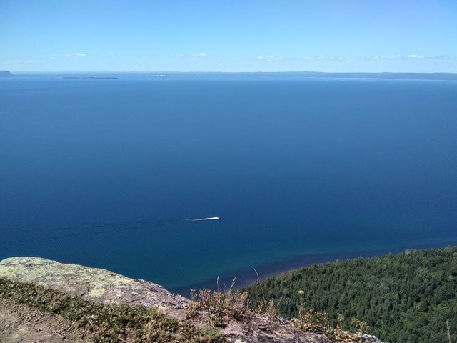
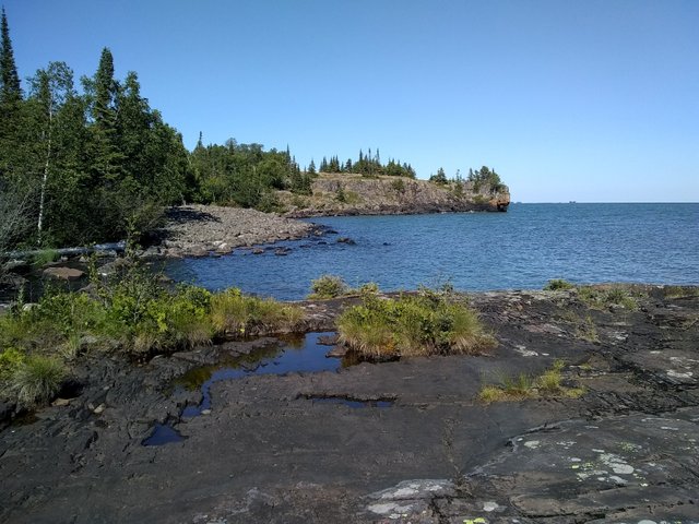
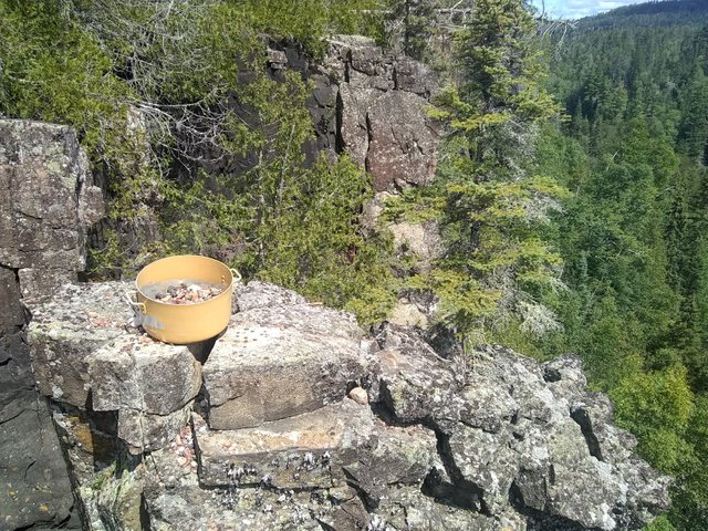
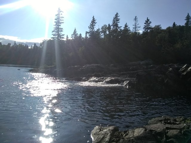
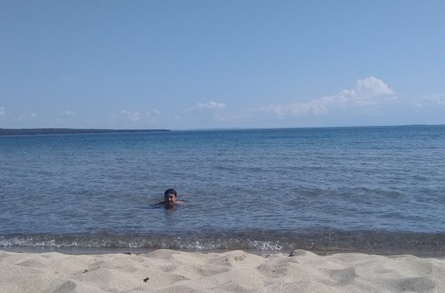
Someone we’d passed on the last stretch of trail told us that a black bear had just been sighted there, so we spent the last .9km clapping and meowing in order to ward off the bears. Traveling down ended up being much easier than the upward journey but we were still pretty hot after that, so we made a detour along Tee Harbour and found some rocks along the lake that we could swim off of, even securing our own little lagoon. The water felt amazing, and the scenery and weather actually reminded us a bit of Mexico.
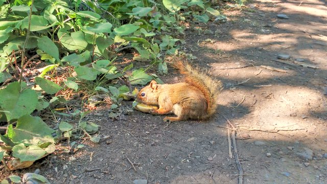
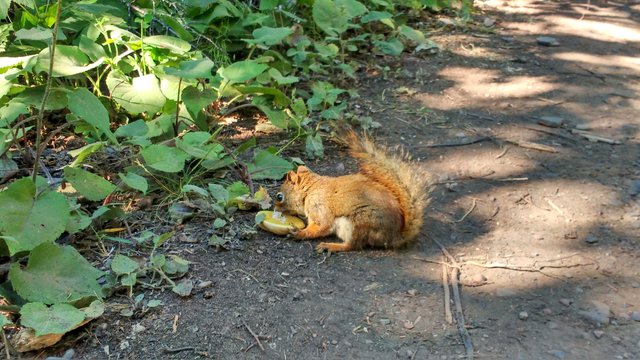
Then we had to bike back over rocky terrain in order to return to the parking lot where we started. But along the way we did run into a little squirrel who was just sitting there munching on a mushroom, as squirrels do:
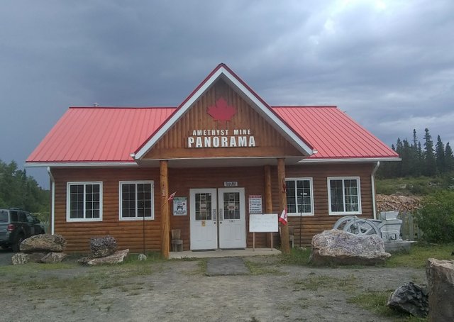
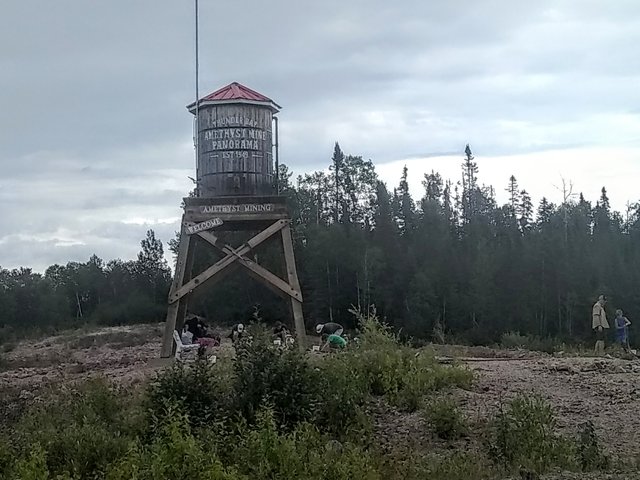
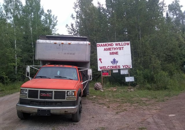
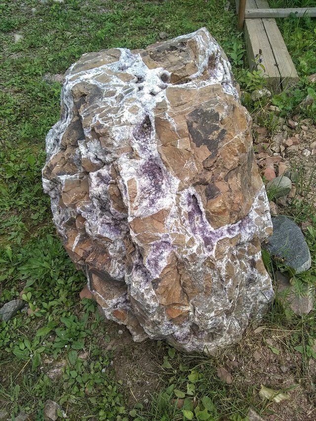
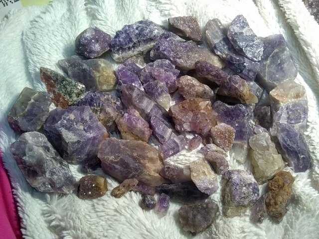
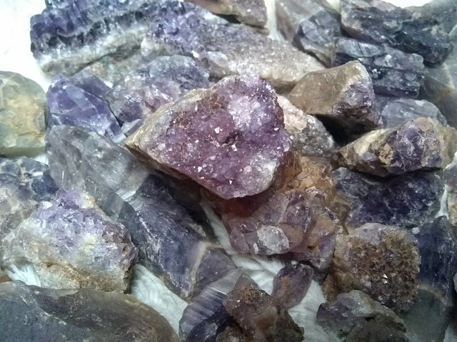
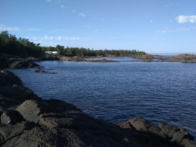
Let me tell you, we were so happy to get back to the parking lot after a full day of hiking and biking. We spent one more night at Pass Lake before trekking onward to dig for amethysts. The Thunder Bay area is apparently rich in them, and we traveled just 20 minutes up the road to Shuniah. Our first stop was at the Panorama mine, which seems to be the more popular and established of the ones in the area. That’s a family business that changed hands in the 80s. You get a small tour of the quarry and then you’re free to go dig for treasure through the rubble on the grounds. You pay by the pound for what you take home. So we spent a couple of hours combing through the piles for loot.
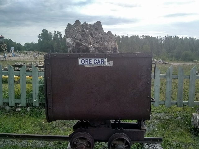
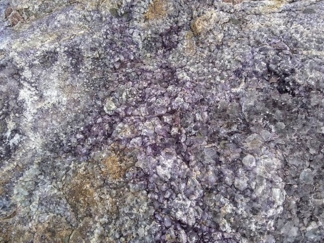
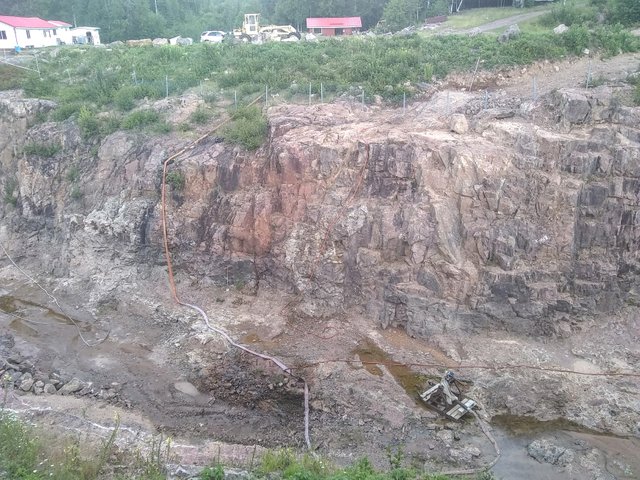
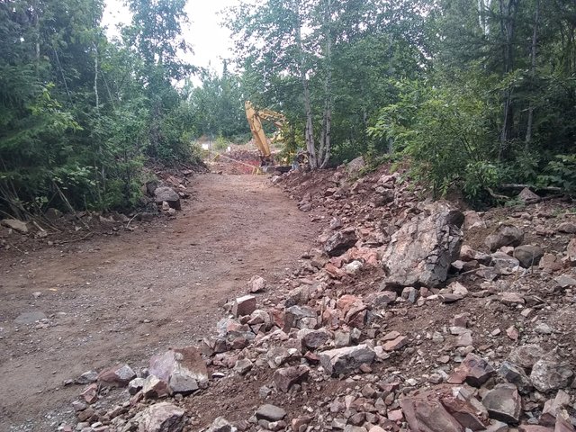
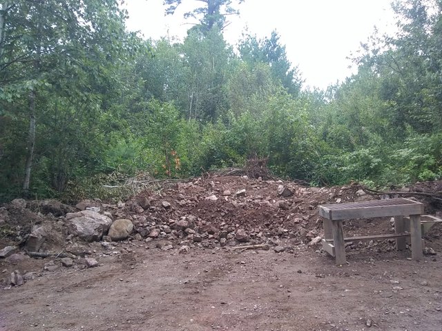
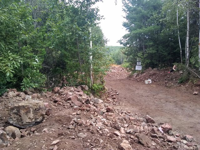
We next tried to visit the Blue Point mine down the road but it’s closed this season. Luckily, the Diamond Willow mine next door was open for business. I found that this was actually the better of the two mines. It was more rugged and laid-back, plus no admission fee and you just get to go straight to the mounds of dirt in the back and dig to your heart’s content. I found so much treasure there, and you pay by the pail. Which is even better. I swear, I saw so much amethyst that day that when I later closed my eyes at night I kept seeing amethyst visuals. Which is not a bad thing.
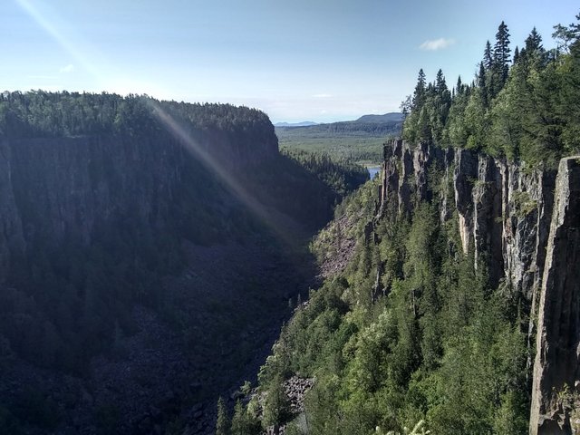
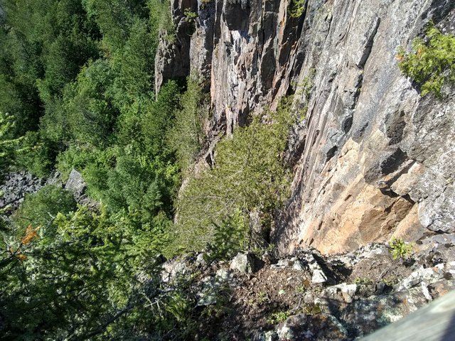
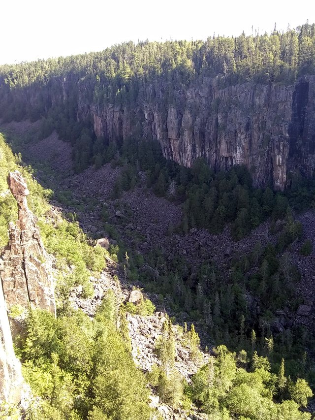
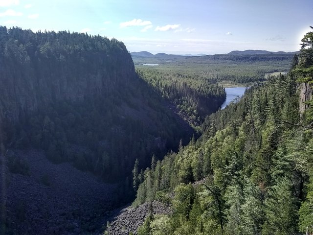
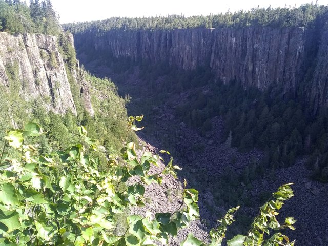
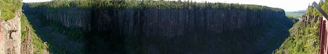
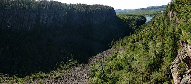
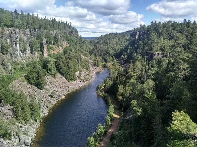
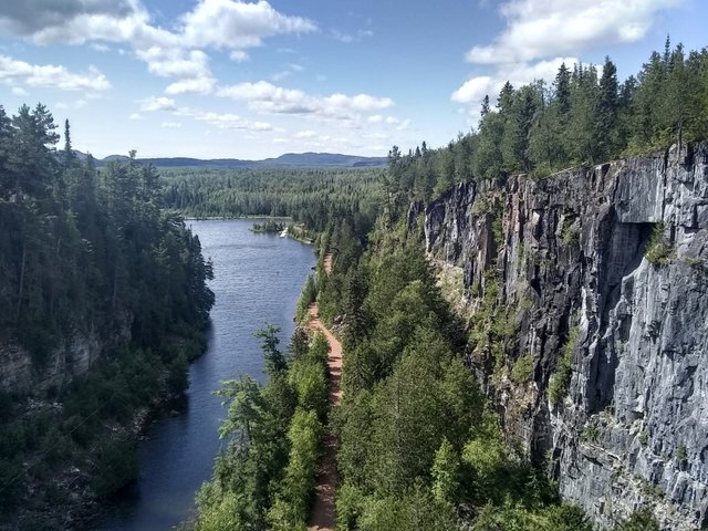
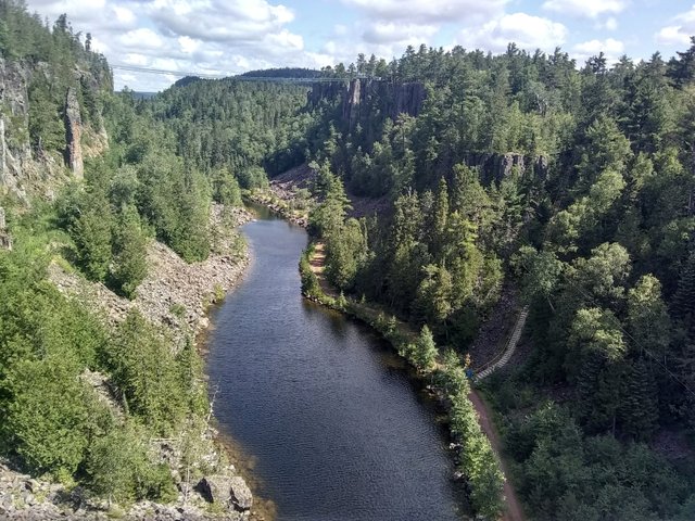
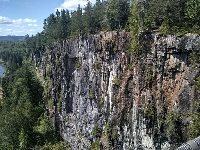
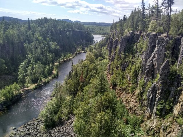
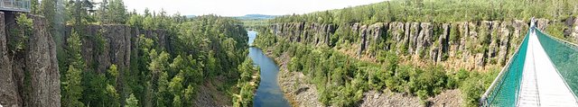
Rain set in around closing time for the mine and we stopped the truck outside of the gate so that we could prep for it. Xiao Meow bolted outside of the amethyst mine for another adventure, so we had to chase him through the trees. We had wanted to check out Ouimet Canyon, cited as one of Ontario’s natural wonders and which is like a Canadian mini version of the Grand Canyon, but with greenery. The rain and the evening hour wasn’t going to be conducive to our exploring the area, though. So we instead decided to roll the dice and try to park for the night in the parking lot for the canyon. And it worked out since the visitor’s office is closed for covid. We pulled to the side of the lot and boondocked, and not another soul showed up all night. We woke up the next morning, had our coffee, hopped out of the truck and rolled on into the park and up the trail to see the canyon, which was a really stunning sight. The flora and fauna at the bottom of the canyon is similar to what’s found in the Arctic. The bottom of the canyon even changes seasons ahead of the top of the canyon.
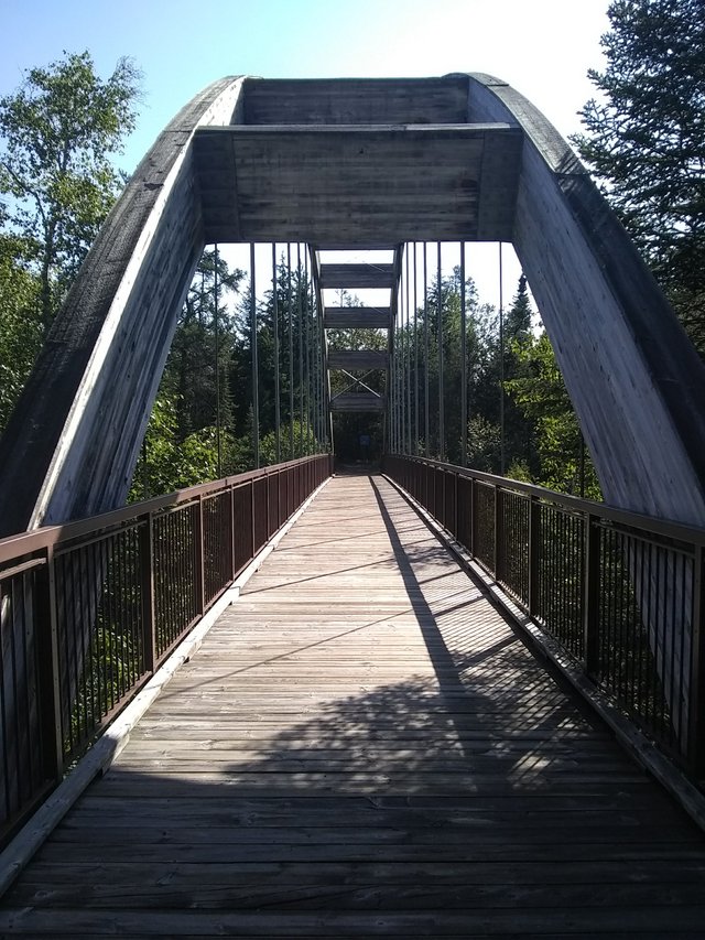
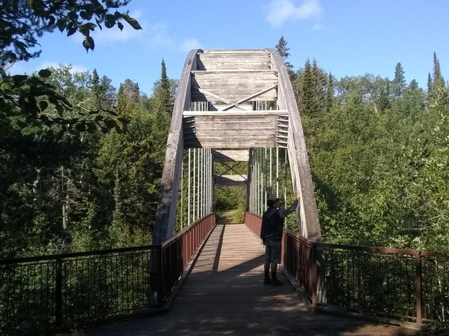
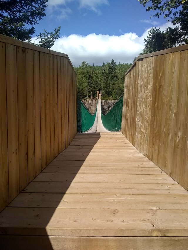
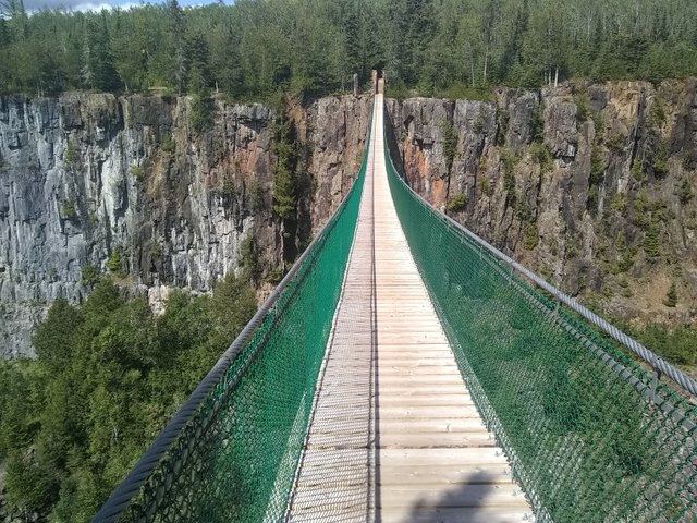
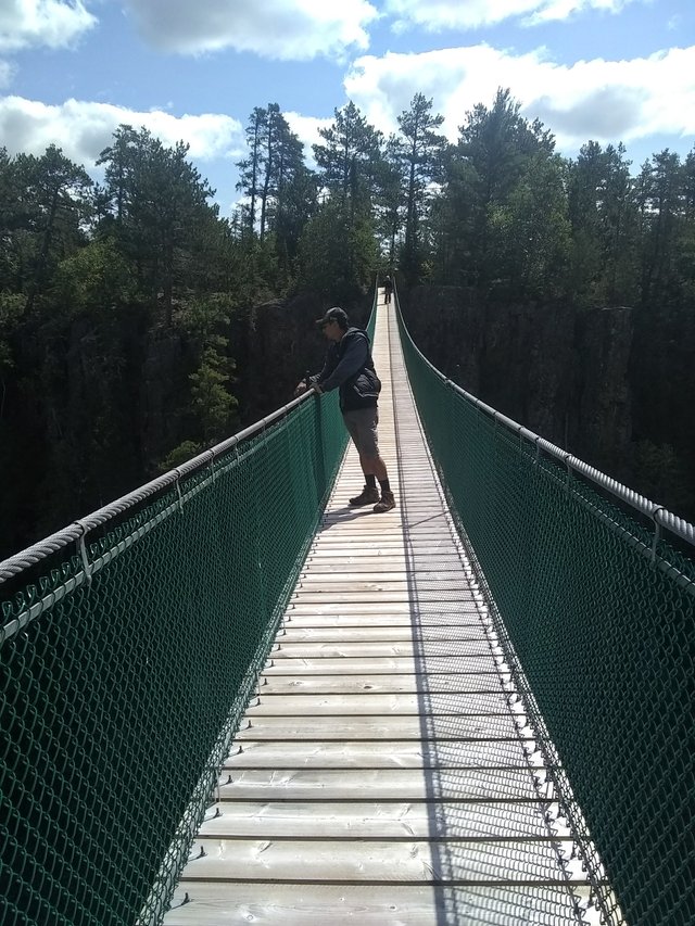
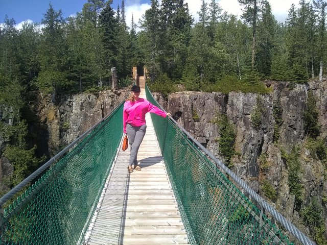
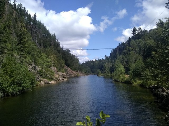
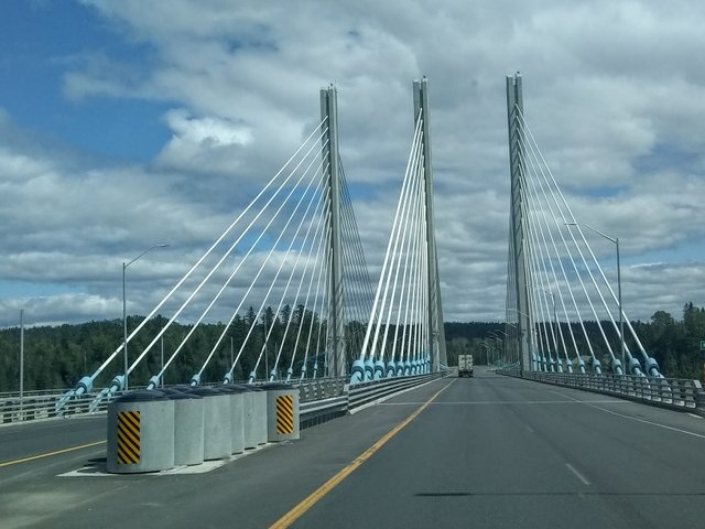
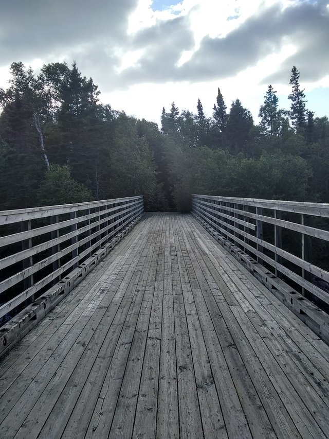
Afterwards, we traveled just down the road to walk the Eagle Canyon suspension bridge, the longest in Canada (600 feet) and on some stunningly beautiful land. And their pricing was fairly reasonable. We even went for 2 rounds across the bridges (there’s a smaller one in addition to the long one).
We wrapped up several hours there and decided that it was time to head to the north shore of Lake Superior. We were also on the hunt for propane, since our monthly supply was running low and it was time to refill the tank. This proved to be so much easier said than done. We first stopped at Nigipon, which we dubbed the town that's closed: they had a propane nozzle that had been broken for a year, a broken water tap (we also needed to replenish our water tank), their road to the business district was closed down, and the LCBO (aka the liquor store) was closed til Tuesday. So we just consulted Gasbuddy and got our cheap gas ($1.047/L) and got out of there.
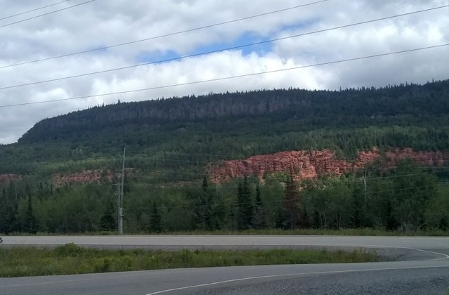
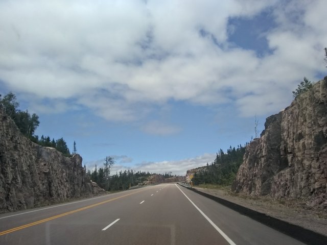
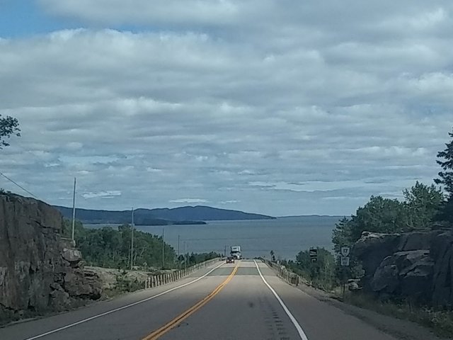
The road to the north shore, which had all of this rust red rock against emerald evergreens:
We continued on towards Terrace Bay, making a quick stop for fish and chips at a food truck along the way in. (It’s called The Golden Rail and the fish was soooo fresh, honestly some of the best I’ve had). Terrace Bay was just a short distance further, and we stopped at the LCBO for hooch and a lead on water and propane. While we struck out on those last two requests, the lovely lady at the LCBO did tip us off about some free parking down by the beach. So off we went.
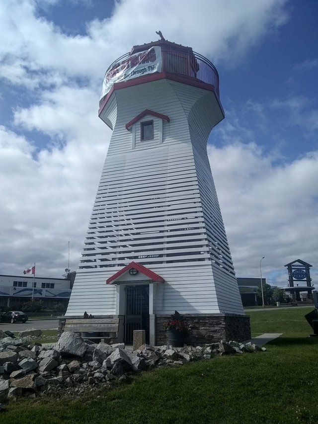
But first, a gander at the Terrace Bay lighthouse:
Our view from our beach parking spot couldn’t have been better, and we quickly met the lovely Rosalie. She saw our BC plates while walking her dog and said hello because she’s actually from New West. Turns out she’s making the same journey as us across the country but in reverse. She also saw Xiao Meow and heard his and our backstory, and then Xiao Meow and her dog Riley interacted. "I feel like I'm watching one of those Dodo videos!" she said. She also said that she’d for sure ask for our number if we still lived in Vancouver. And doesn’t that just figure? We go all the way across the country to a small town in Ontario to meet a kindred spirit who would’ve been a welcome friend. Anyway, Rosalie then wished us well in our journey and we said our good-byes and good lucks.
Speaking of Xiaozhang, the best thing I heard was when a guy sitting with his friends at a nearby picnic table watched me approach our truck and open the door, only for the Xiao Meow to pop out. He turns to his buddies and says, "That wasn't what I expected to see coming out of that truck." Lol
We also went on a tiny hike by the water:
And then we went back to the beach to walk Xiaozhang before sunset. It was his first real walk on the beach. Although he hesitated at first, he quickly grew to love it.
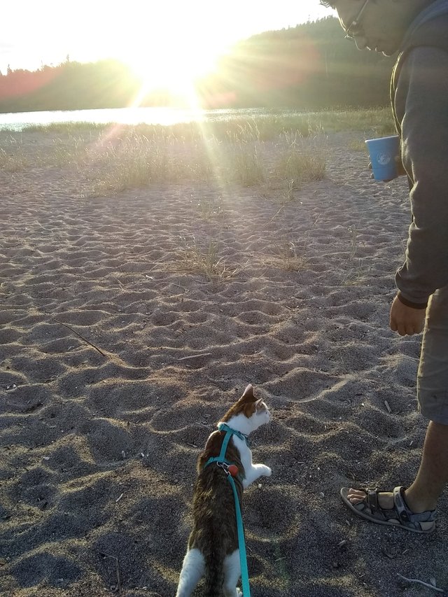
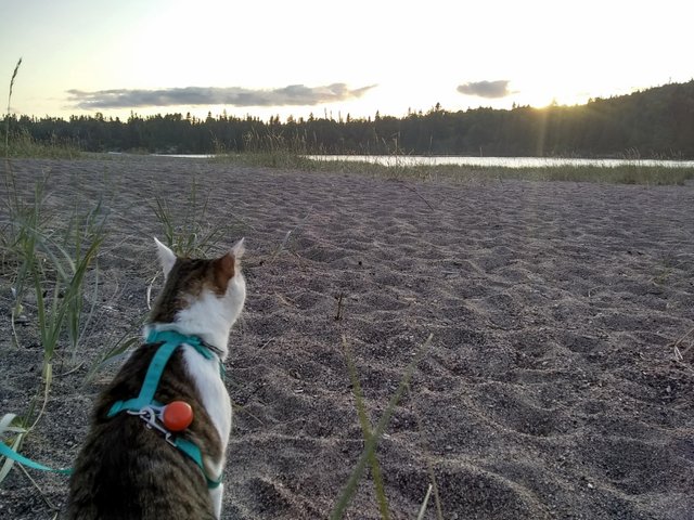

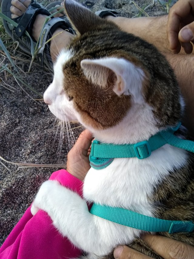
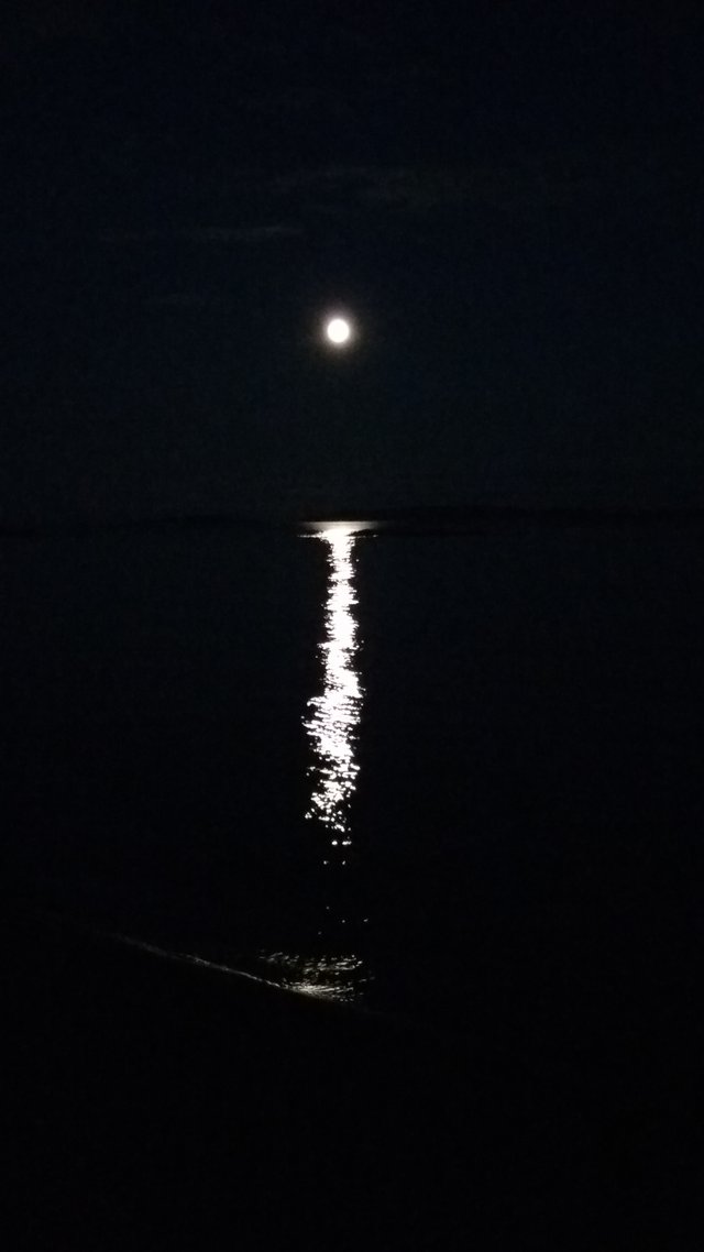
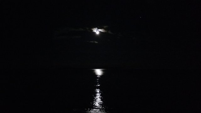
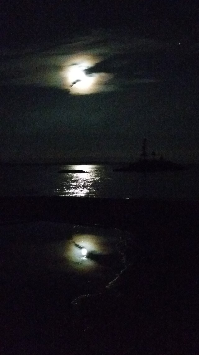
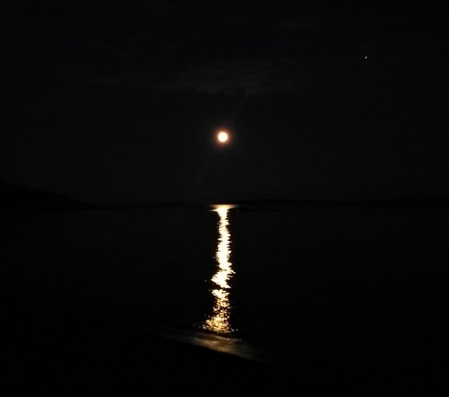
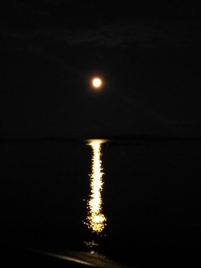
Xiaozhang loved his walk on the beach so much that we ended up repeating it later under the full moon. So yes, our cat now loves long, moonlit walks on the beach. Add that to his cat Tinder profile. Besides, the moon was absolutely stunning:
As enchanting as the night was, reality set in again the next morning. Namely, that we had to find water and propane asap. We decided to just book a campsite at Nearby Neys provincial park in order to meet our water needs. (I swear, it's straight up Mayberry around Lake Superior - everything is either closed or their facilities "have been broken for months".)
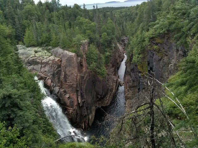
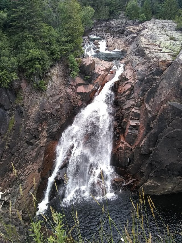
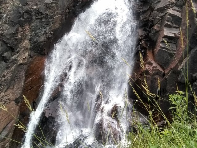
We made one last stop in Terrace Bay before heading there, to the beautiful Aguasapon Falls:
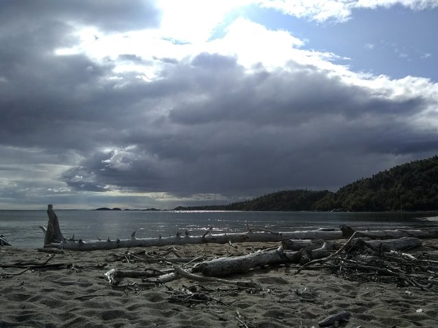
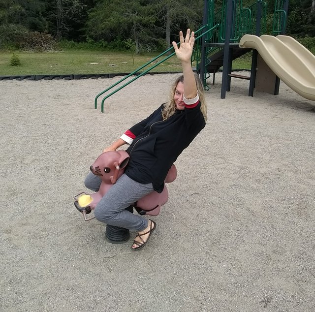
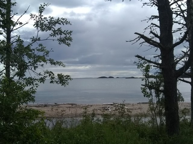
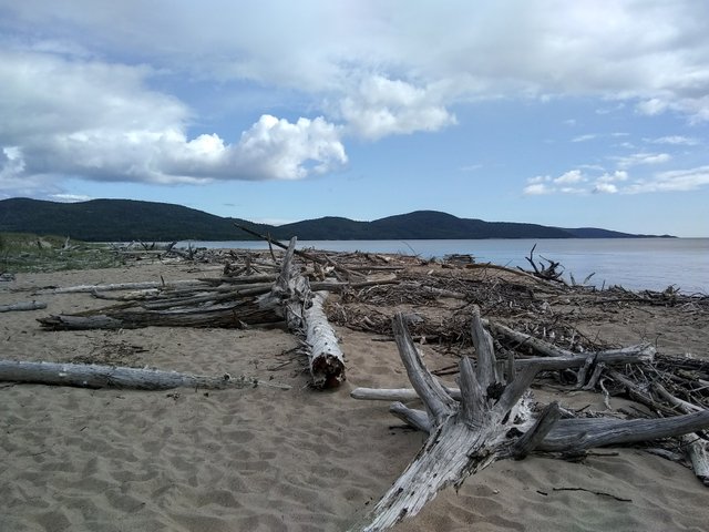
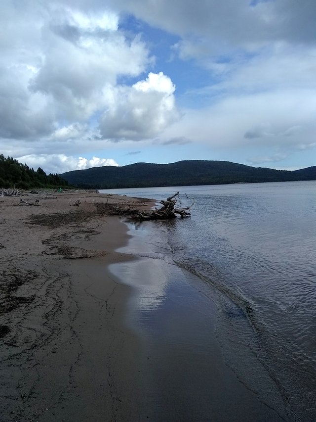
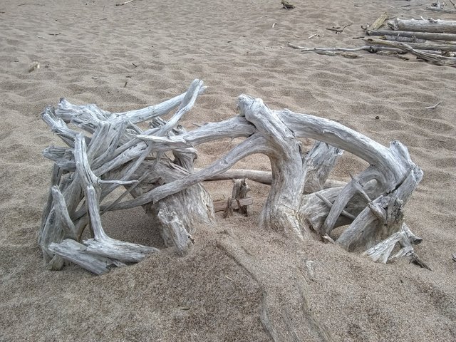
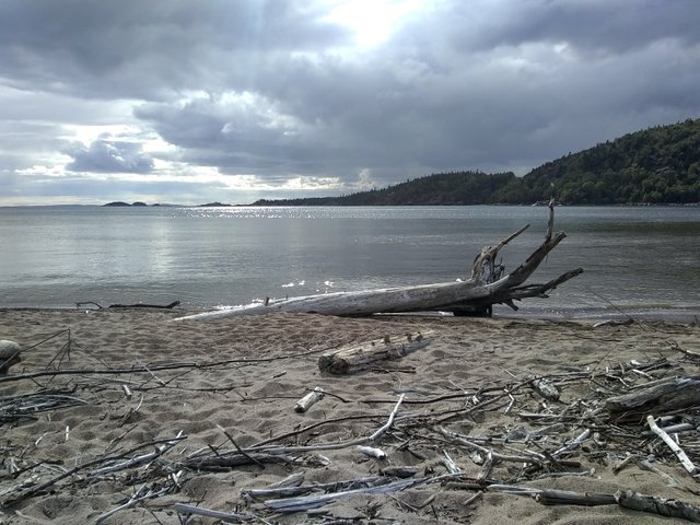
Neys park was gorgeous, and is known for its driftwood that sits all along the beach. We even ran into a couple from Toronto who were traveling in their truck conversion for their anual month vacation. (We had actually run into them at Ouimet Canyon and Aguasapon Falls.) They were so lovely and gave us all kinds of travel tips for the Maritimes. And after our chat, we hit the beach. After I had to hop on a squirrel along the way:
Our campsite was nice and woodsy, tucked away about a ten minute’s walk from the beach.
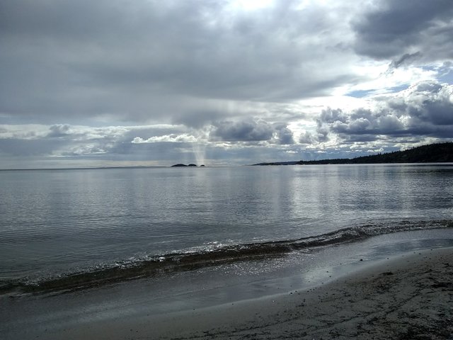
We went for a hike the next day before it was time to check out of camp. It takes you up to a lookout over the bay.
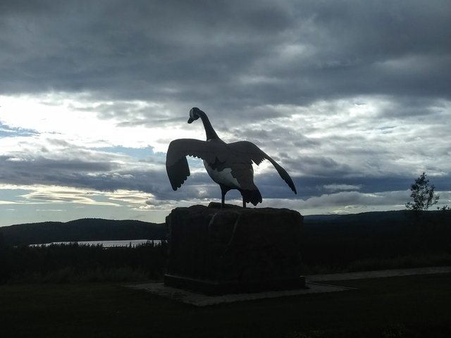
Aaaaaaand then we realized afterwards that we hadn’t really checked our oil since Regina, so sure enough we were bone dry. We were lucky, though, because our camping neighbors (a lovely family) were heading to town for lunch and offered to pick us up some oil. I gifted them an amethyst for their trouble (I’ve set aside a stash for barters and trades). Then we hit the road towards our next stop. We topped up a bit first because gas was running low. Aaaaand we still managed to run out of gas with half an hour to go to. Luckily, we had our backup jerry can. But were once again in a precarious place on the highway AND in the middle of nowhere, with no cell reception. Our windshield wipers also crapped out during a light sprinkle but luckily it didn’t rain harder. But soon we sorted ourselves out again, making it to Wawa ON literally just before running out of gas again. The town has not one but three ginormous Wawa bird statues along the way in, including a 28-footer that was gifted to the community in 1960. And Wawa means wild goose (in Ojibwe), I had just found out. So we gassed up and parked by a downtown lake for the night, right before another RV. And that's another Kitty Kitty Bang Bang adventure brought to you by the letter Meow.
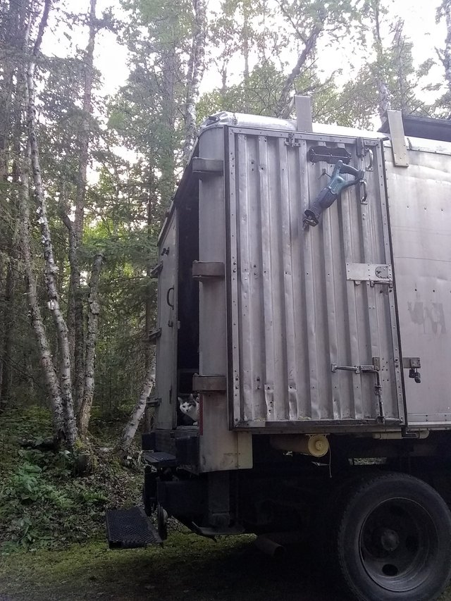
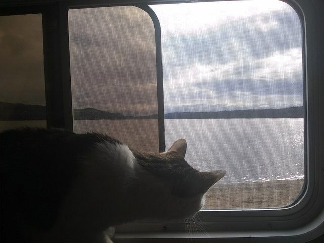
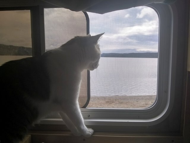
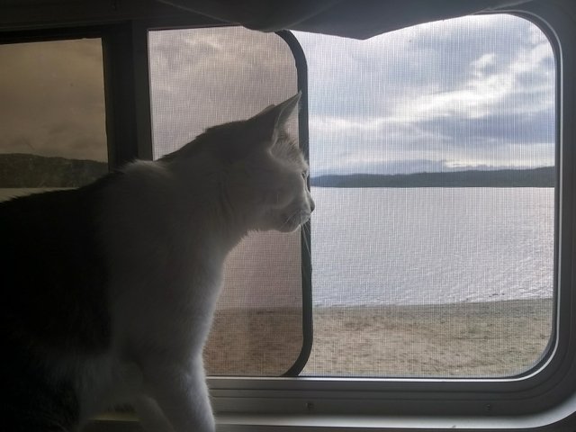
Xiaozhang enjoying his window on the Wawa world:
We did our laundry in Wawa the next morning and ran some errands. It’s definitely got an interesting vibe. And then the search for propane continued. I had called up the Esso station in town because their website stated that they might have some. Laughter ensued on the other end of the phone after an initial confused response. “Well dear,” said the woman at the Esso station,”you KNOW that Wawa is a small town". Looking for propane in all the wrong places, yet again.
Although let’s talk propane for a sec. Apparently, there was some sort of an explosion at one of the propane fill stations in Ontario, which prompted the province to really tighten up their regulations. Which consequently has turned it into an exorbitant expense for business owners (we’re talking $40k just to replace the propane pump). So, as one kind gentleman later informed us, all of those broken pumps along Lake Superior will never, ever get replaced.
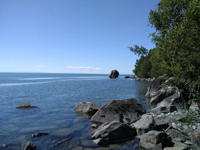
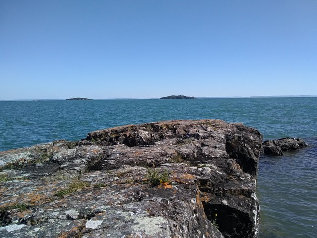
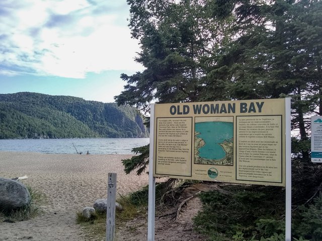
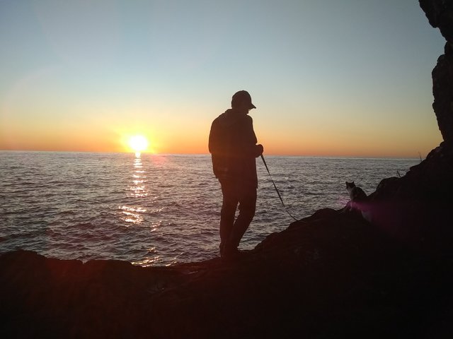
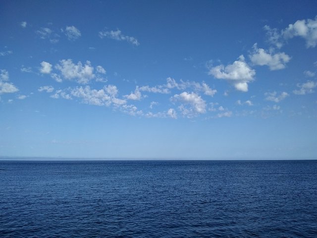
Anyway, it was onward along the eastern shore of Lake Superior. We even spotted a black bear cub on the highway at one point, which was amazing. Driving along the Eastern shore of Lake Superior is a little like driving along the California coast scenery-wise, especially Big Sur. We made a quick stop at Old Woman Bay in Lake Superior provincial park because we glimpsed it from the highway and it was simply stunning.

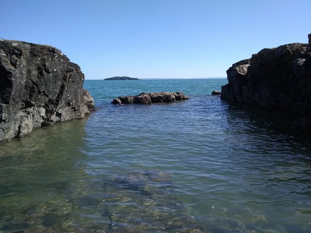
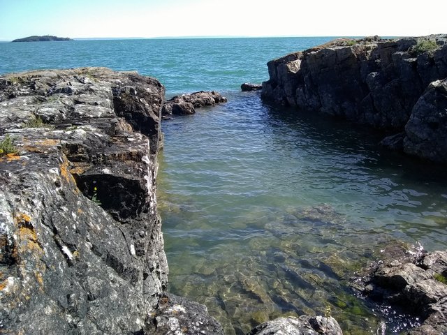
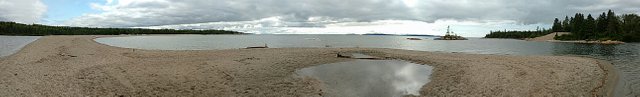
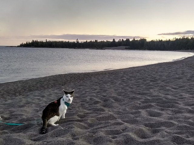
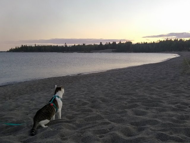
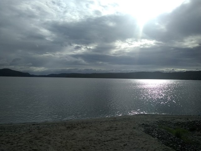
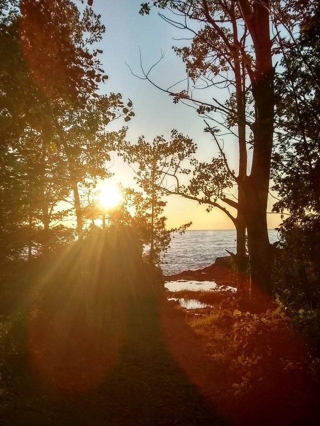
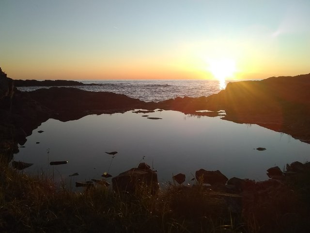
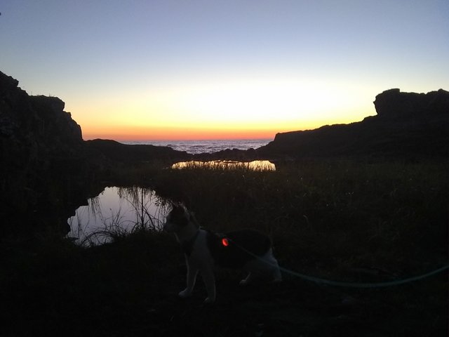
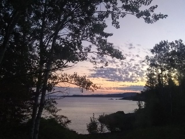
And then we consulted our free camping website and found a secret-not-so-secret camping site off of the HWY 17, complete with a little lagoon/cove in our backyard. There’s signage there saying that camping will remain free as long as campers respect the land and one another. There were a few RVs already tucked away, including a man and his dog set up by his trailer. It looked like he may have been there for months. This is the nice thing we’ve noticed along our travels. There are so many places with free camping where you could just disappear for a while. And this spot was a stunner, you could almost forget that the highway was just behind you. We also arrived just in time for sunset, which was one of the most stunning ones we’d seen to date because of our prime location on the east coast of the lake. We even took Xiaozhang along with us.
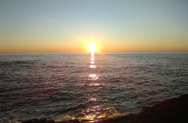
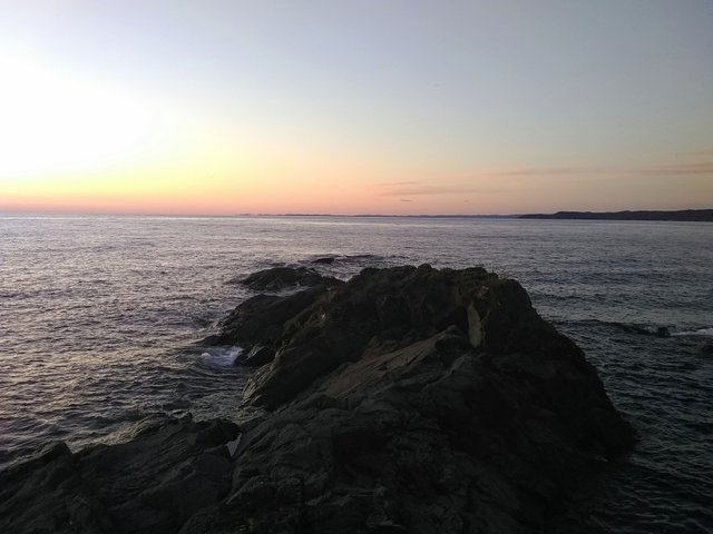
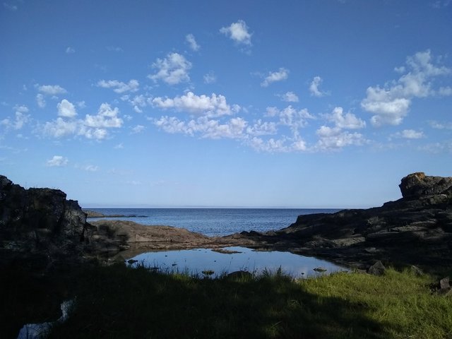
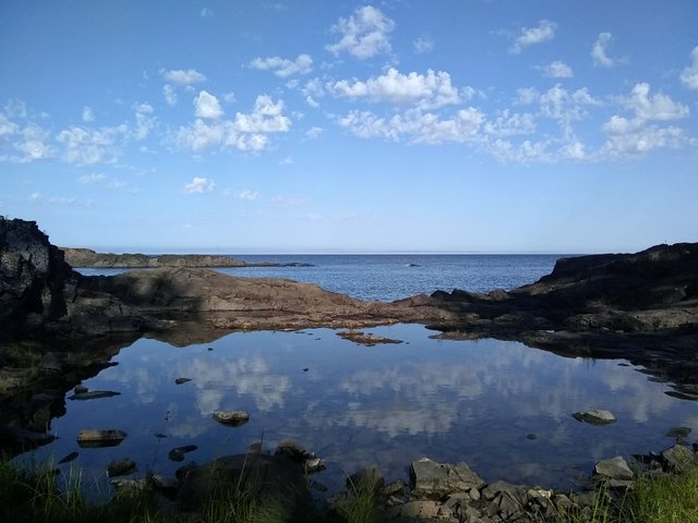
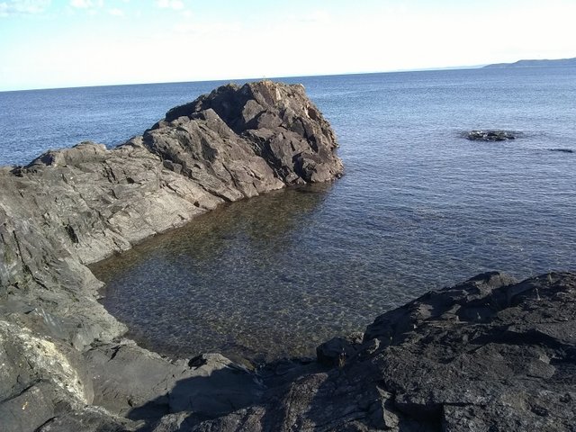
We watched the stars afterwards. And the next morning took in the view again, which was just as gorgeous in daylight. We went swimming and lounged on the rocks before it was time to continue onward.
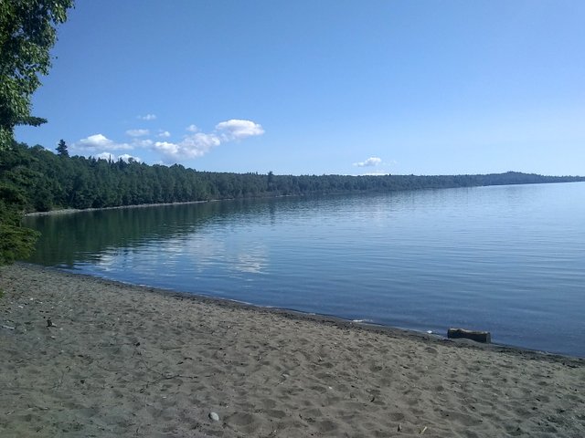
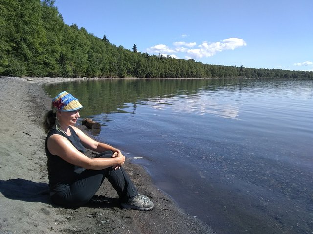
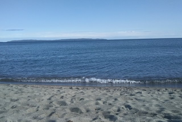
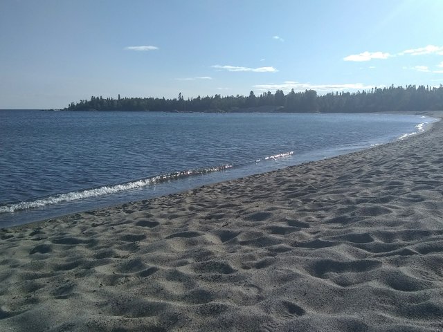
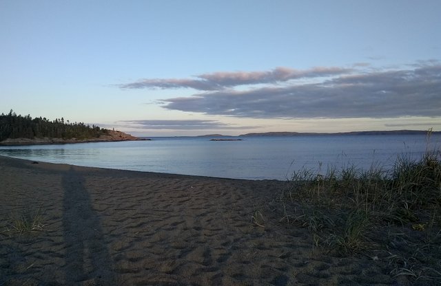
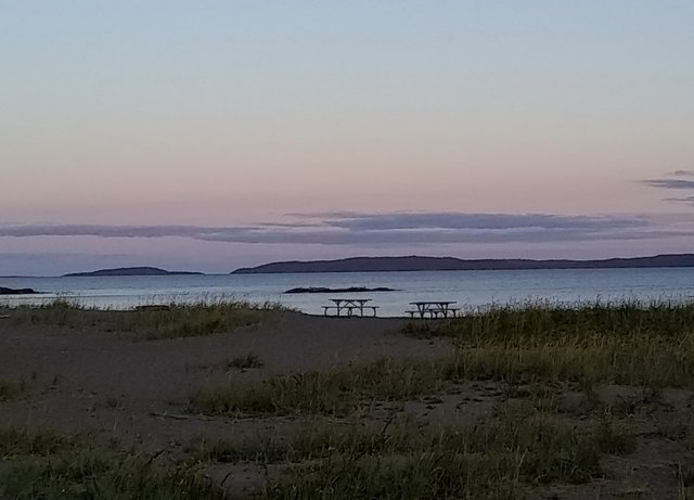
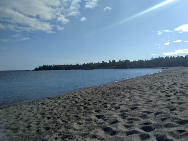
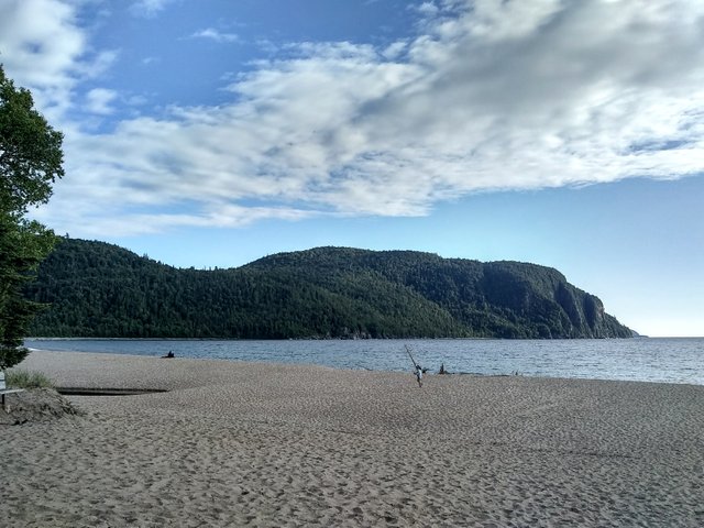
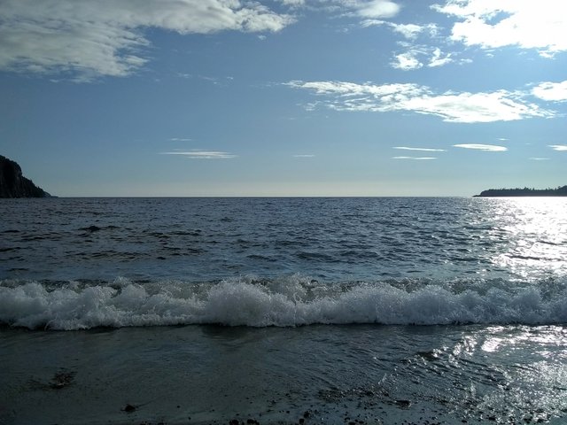
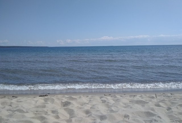
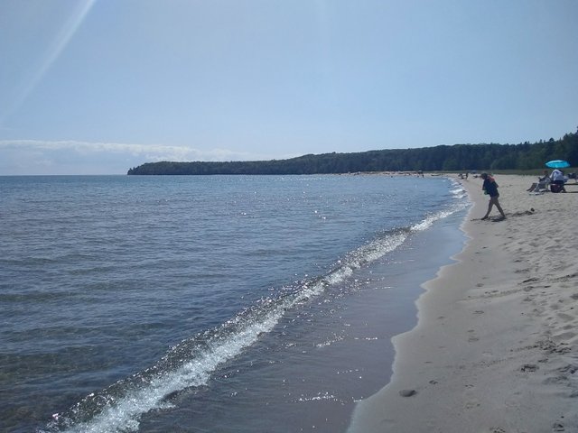
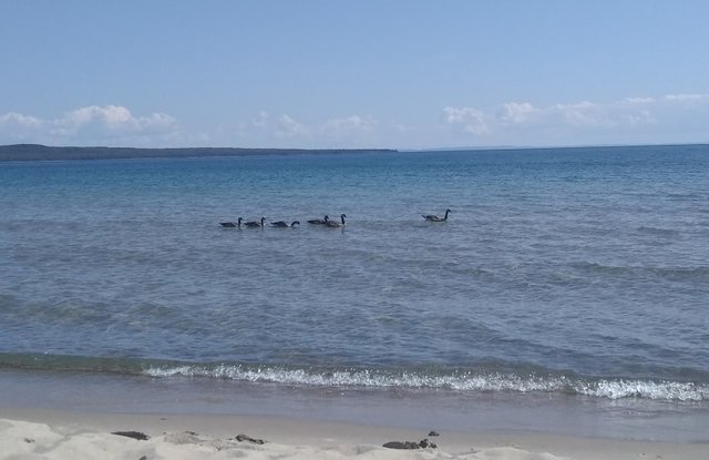
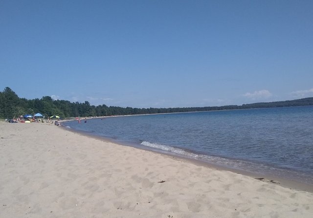
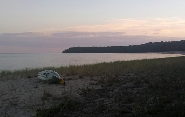
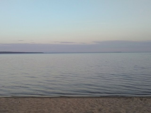
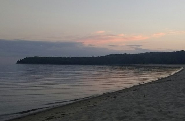
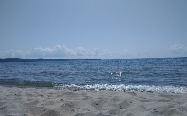
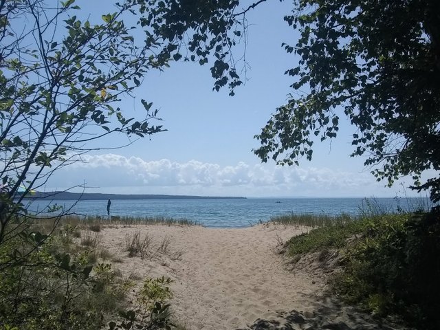
Our next stop was another provincial park called Pancake Bay. We’d been told that the park’s star attraction is its fine, sandy beach and clear water. It didn’t disappoint:
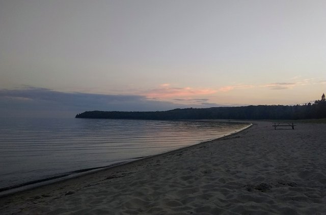
And we watched the colors of sunset:
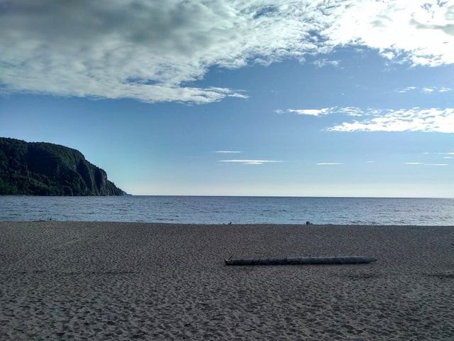
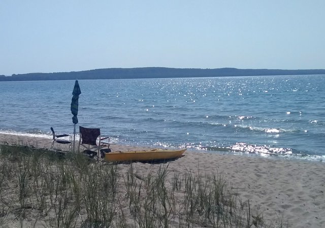
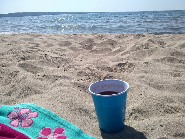
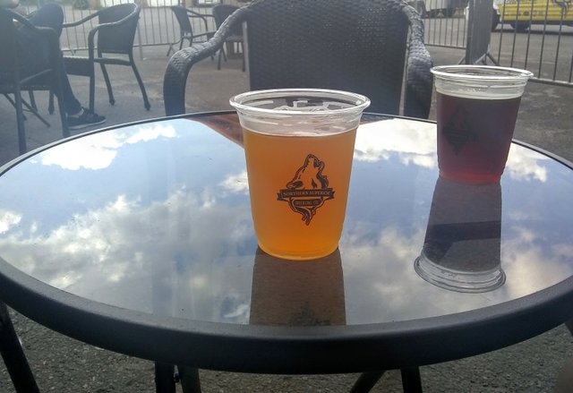
The next day, it was more time spent flopping on the beach with a Caesar before checking out:
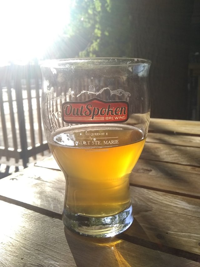
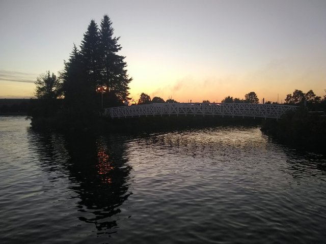
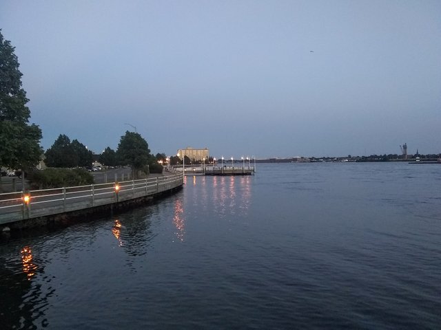
Then it was time to end our tour around Lake Superior with a final stop in Sault Ste Marie, where we quickly acquainted ourselves with the local breweries:
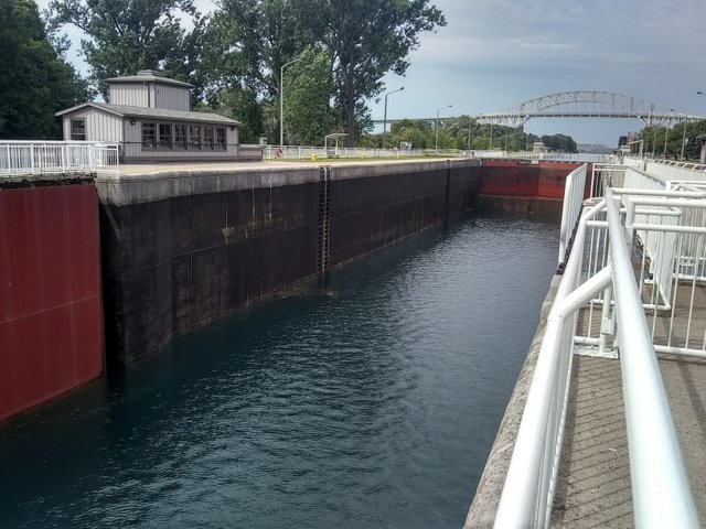
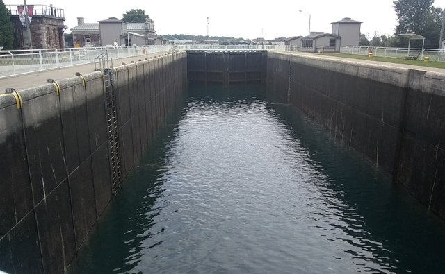
Sault Ste Marie has a lovely boardwalk and is known for its canal and locks.
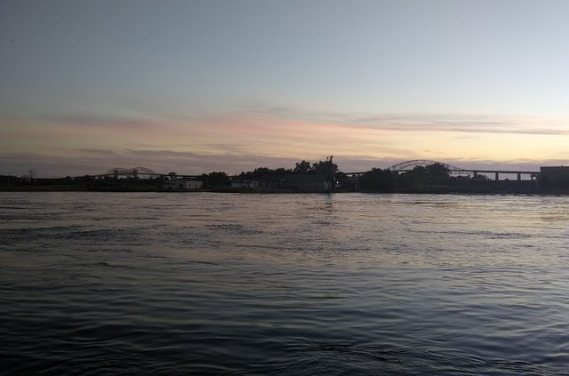
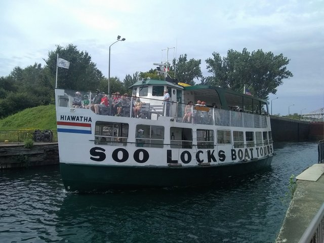
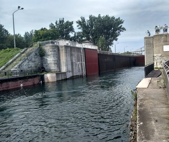
Other than that, though, it’s a little bit down and out and exactly what you'd expect of a town built around a canal and American tourists. Still, the locks were cool to check out:
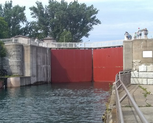
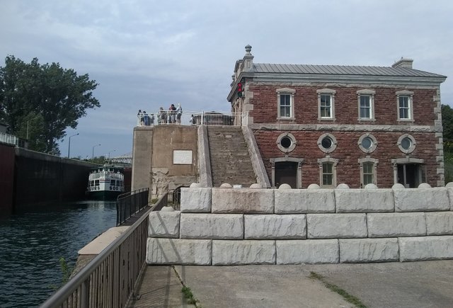
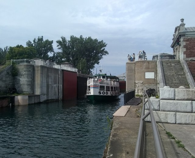
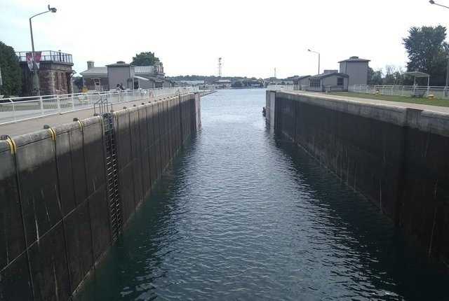
And there’s a park you can check out by the locks:
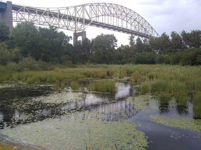
Still, the factories of Michigan loom kind of ominously from across the water. Afterwards we scoured Queen Street for lunch.
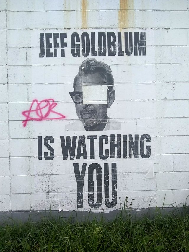
And just like that, it was time to take our leave of the “Soo” under Jeff Goldblum’s watchful eye.
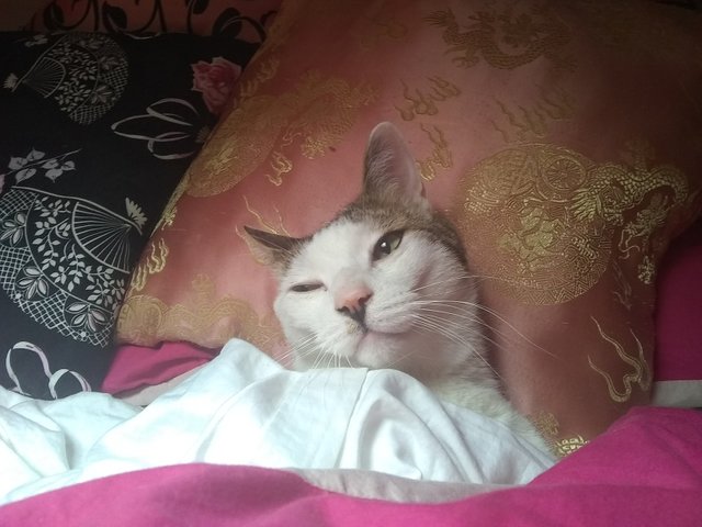
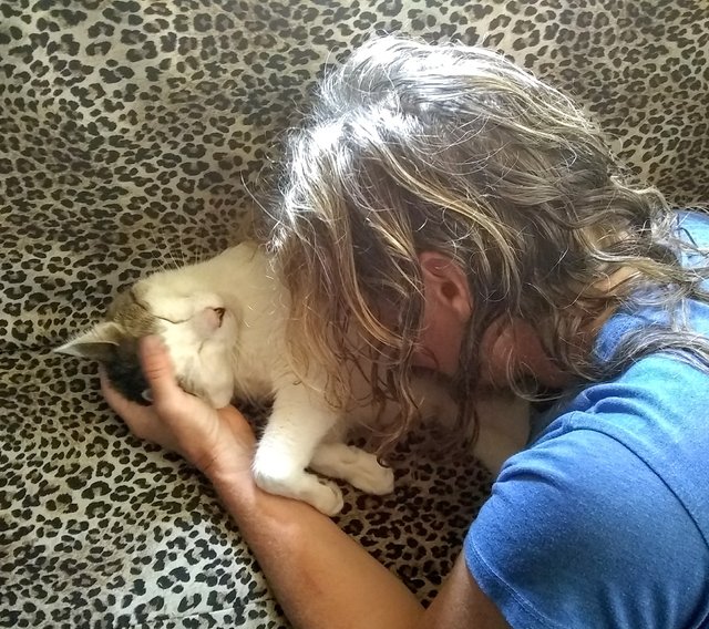
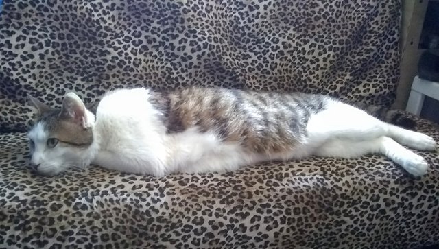
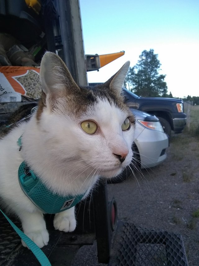
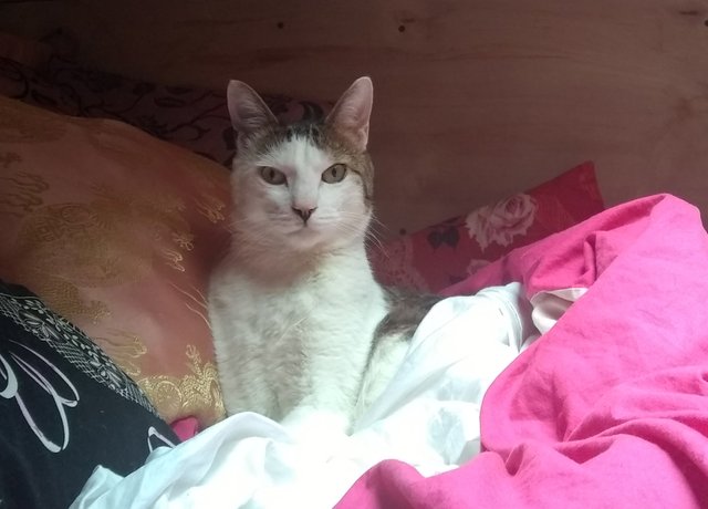
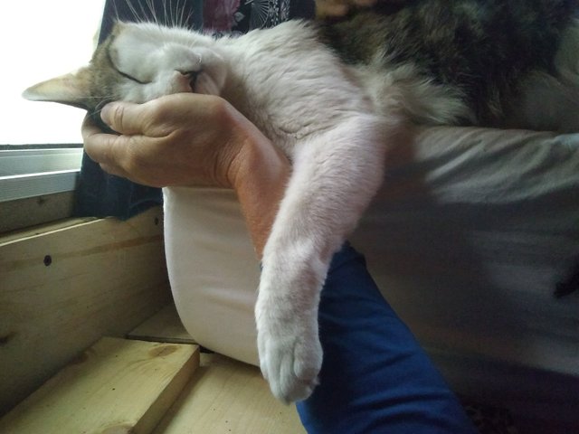
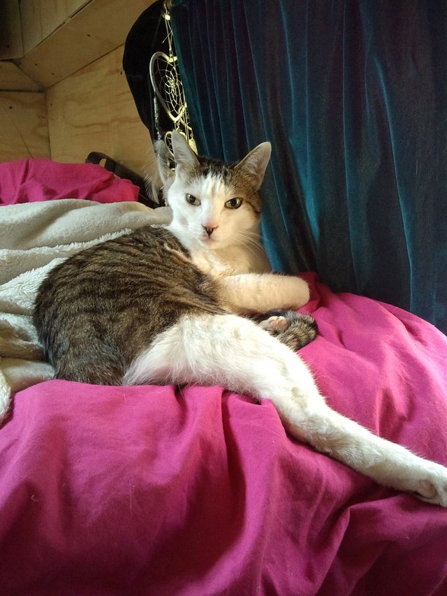
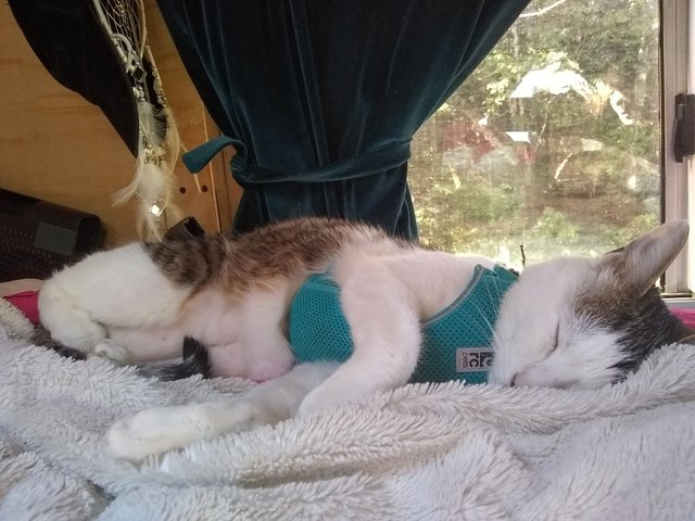
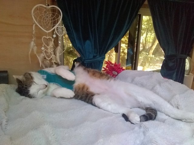
Cat Vanlife:
Congratulations, your post has been upvoted by @dsc-r2cornell, which is the curating account for @R2cornell's Discord Community.