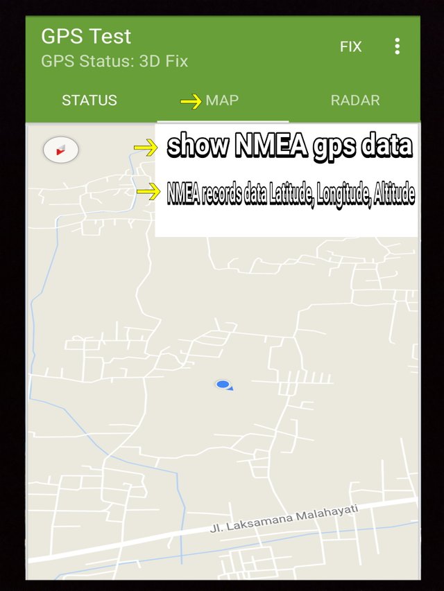
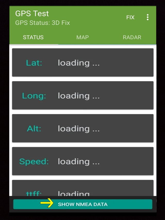
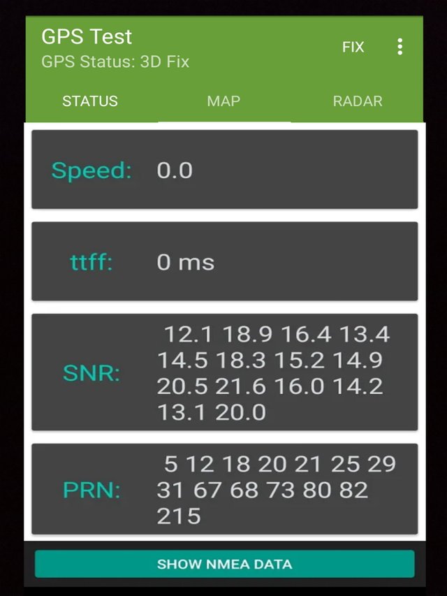
Add feature "NMEA gps data" and feature "NMEA records data Latitude, Longitude, Altitude" on gps test application
Components
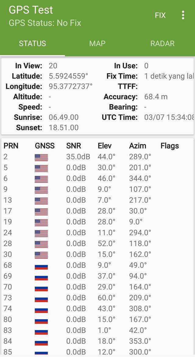
The gps test application is an application that displays real time information for the satellite user device views. A gps test tool for engineer platforms, developers, and power users, gps test applications can also help users in understanding the user's gps or not working and fixing it.
Proposal
After using the gps test application the user can display real time information for satellite user device display. The gps test tool for engineers, developers, and power users platforms, the gps test app can also help users understand the user's gps or not do it and fix it. As a user I propose to developers to add features "show NMEA gps data" and feature "NMEA records data Latitude, Longitude, Altitude" in the menu map of the gps test application
Mockups / Examples
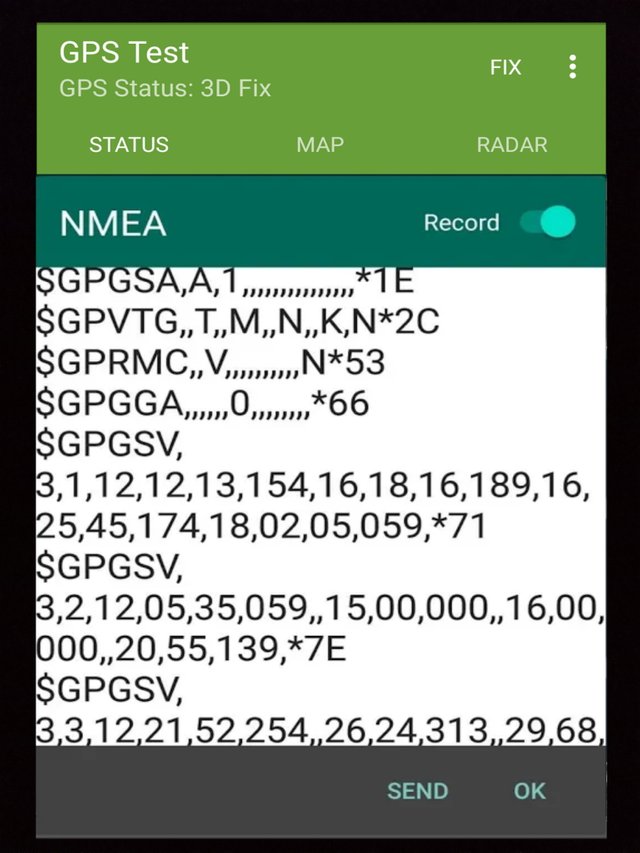
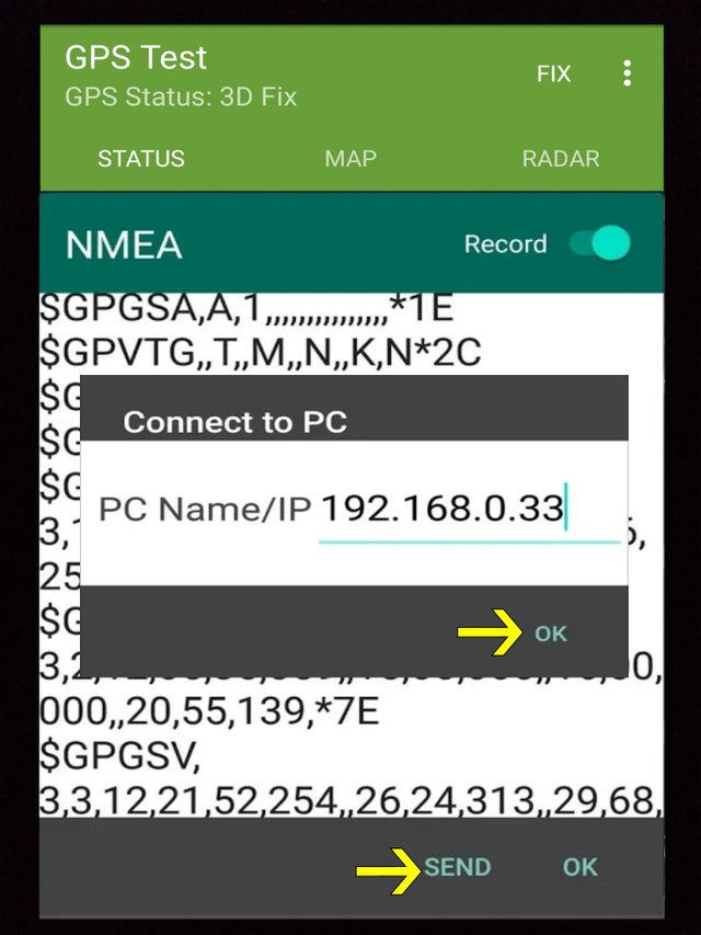
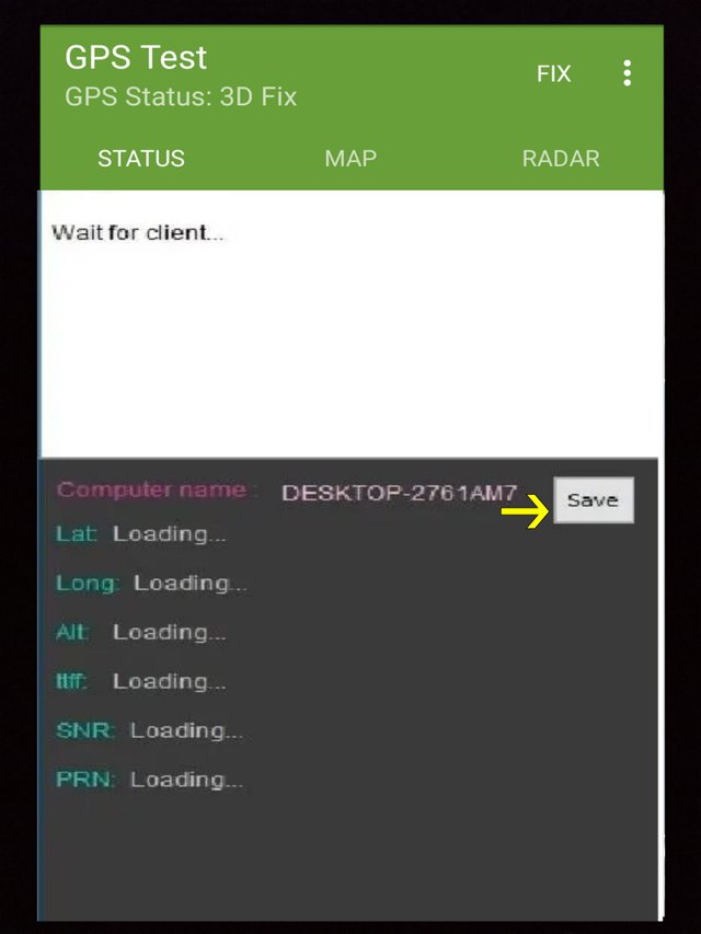
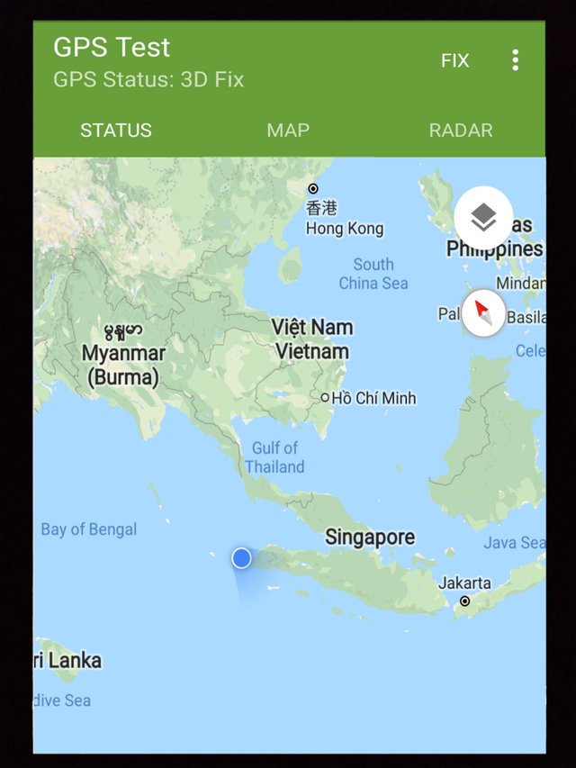
This is a sample image after the developer adds the "NMEA gps data" feature and features "NMEA records data Latitude, Longitude, Altitude" in the gps test app
Benefits
With the NMEA gps data feature feature and NMEA records records data Latitude, Longitude, Altitude users can easily send GPS receiver data via WiFi to PC, and send NMEA data to Email. Users can also fix SNR-s and PRN-s on the map of gps and the user can know the position and strength of the satellite signal, accuracy, speed, acceleration, altitude, bearing and allow to assign more other coordinate system. It can then be possible to measure distances by surveying from two points using GPS sensors so that users can create point markers and store coordinate data into the database, copy all marker data to clipboard or export to KML using bezier cubic interpolation in the design area to collect linear data and can be used in buffer & overlay analysis. This is a very interesting thing and makes other users to use the gps test application so it becomes very amazing
Posted on Utopian.io - Rewarding Open Source Contributors
Your contribution cannot be approved because it does not follow the Utopian Rules.
You can contact us on Discord.
[utopian-moderator]