The Achleiten panoramic trail in Weißenkirchen
Read "The Achleiten panoramic trail in Weißenkirchen" on TravelFeed.io for the best experience
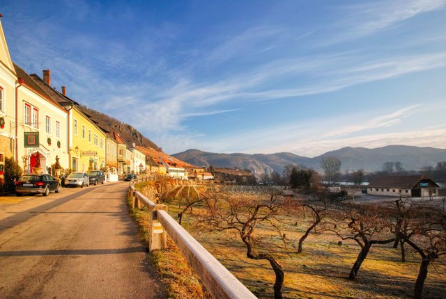
The Achleiten panoramic trail leads through the vineyards between Weißenkirchen in der Wachau and Dürnstein.
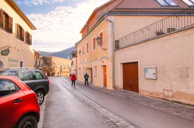
The starting point of this circular trail is at the Marktplatz (market square) of Weißenkirchen.
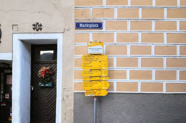
Here you find signposts for various hiking trails. You have to follow "Panoramaweg Achleiten". You can walk this panoramic trail in both directions - I decided to walk counter-clockwise.
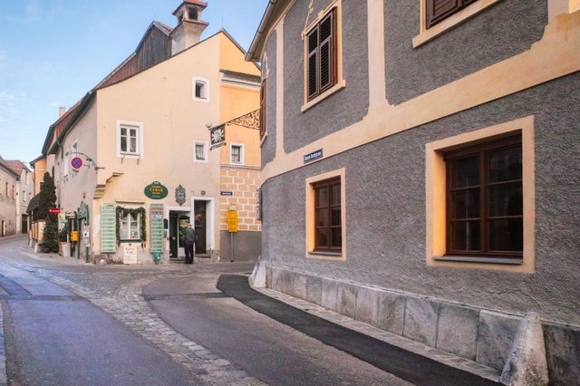
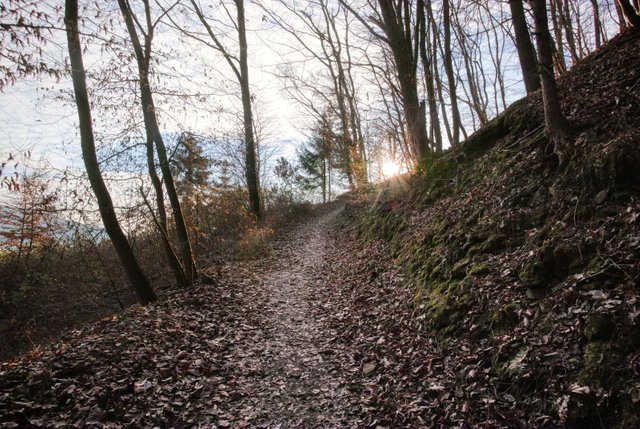
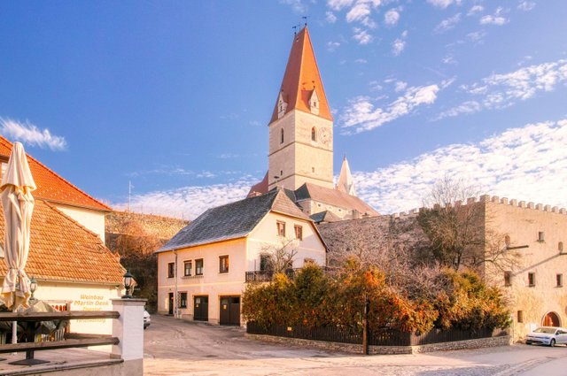
Then you follow the "Kremser Straße" which is the old road to Krems that was used before the Danube river was regulated.
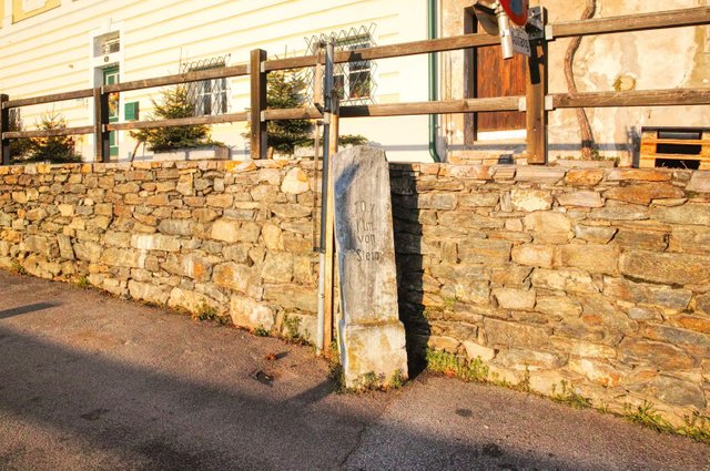
That's an old signpost.
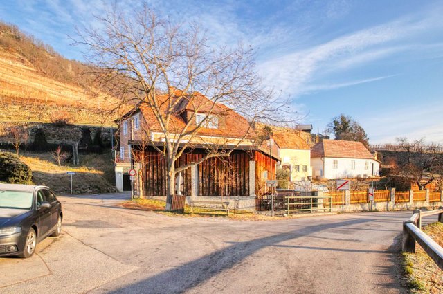
Before the city limits turn left and then turn right and walk behind the wooden building.
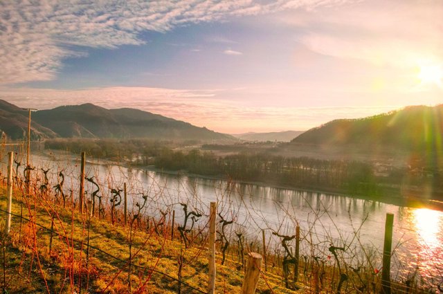
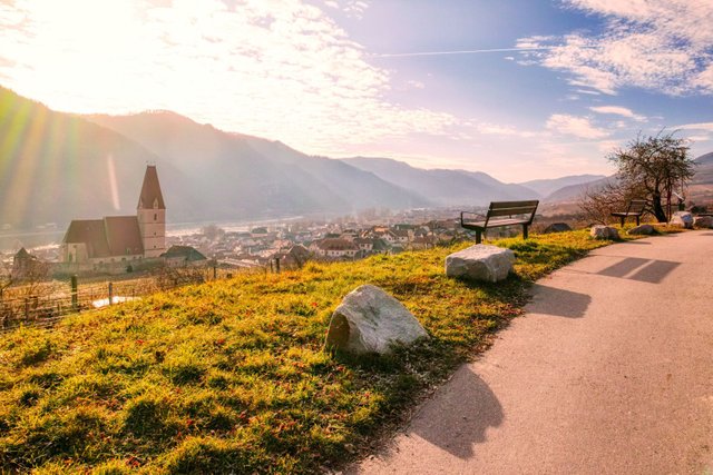
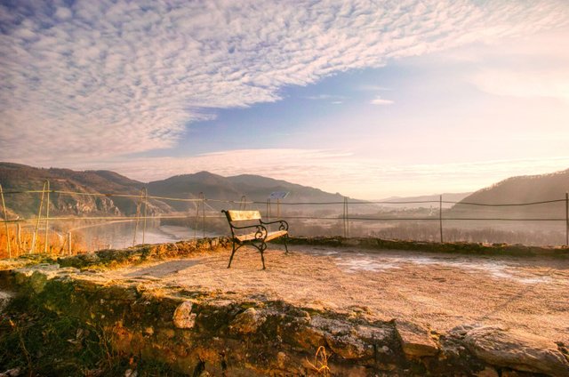
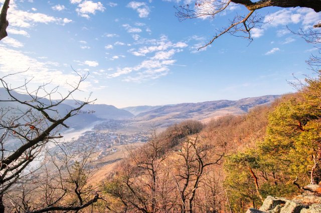
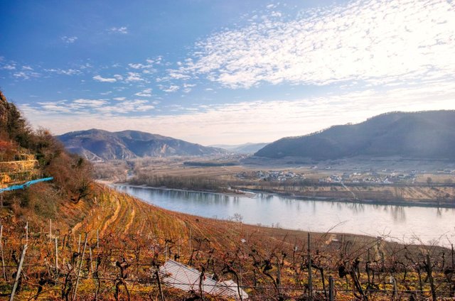
Enjoy the beautiful view over the Danube river. In the background you will see Dürnstein, the town that you might already know from my story of the ruins of Dürnstein Castle (Steemit / TravelFeed).
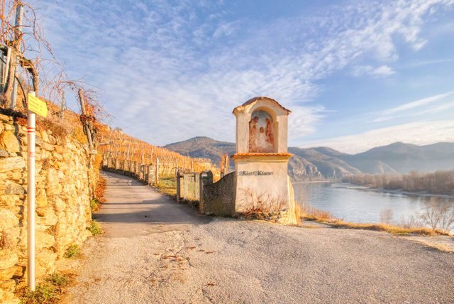
At this wayside shrine you have to turn left into the "Ried Klaus".
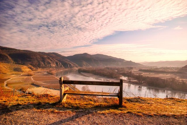
The road is quite steep, so it is probably a good idea to take a rest and enjoy the beautiful view.
Then the way will turn left and you come to another resting place.
Shortly after, you have to turn left.
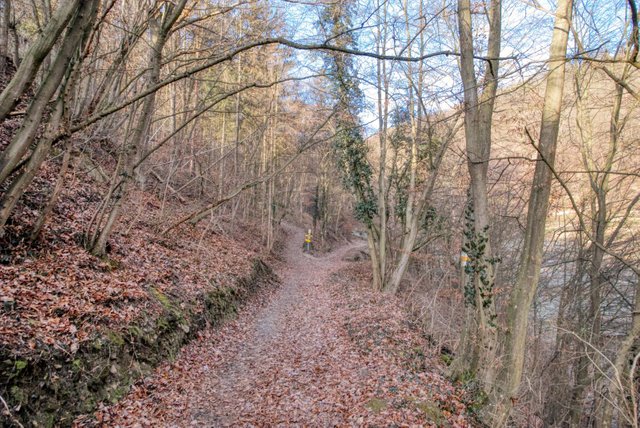
In the wood turn left again.
A little bit later the way will turn right again.
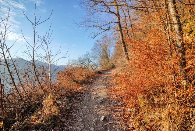
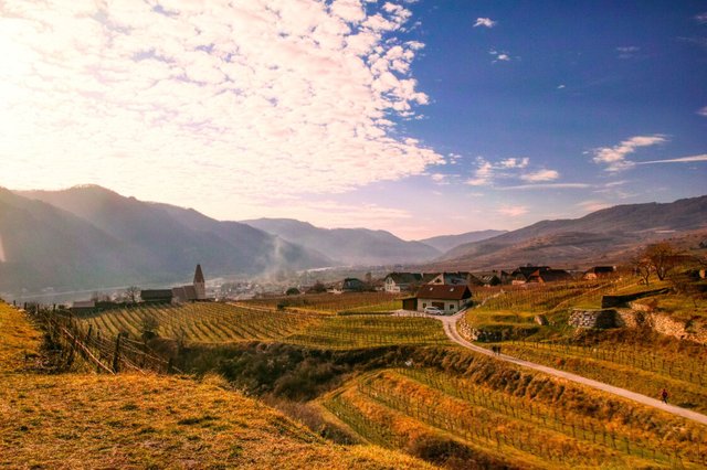
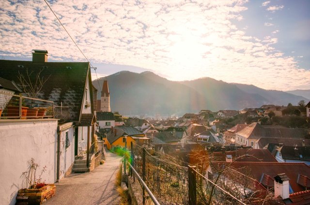
Then you'll walk towards Weißenkirchen, but "one level higher" then the way you came from.
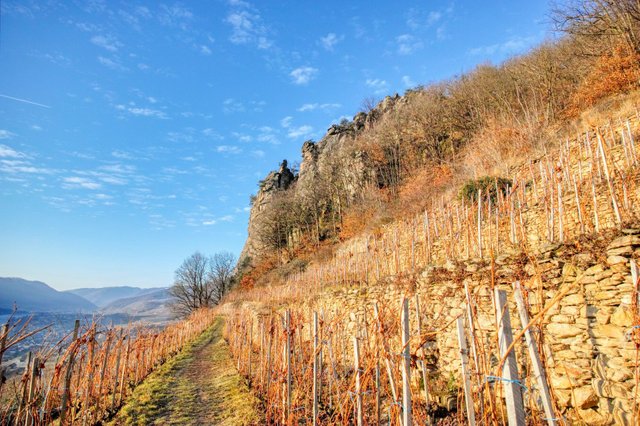
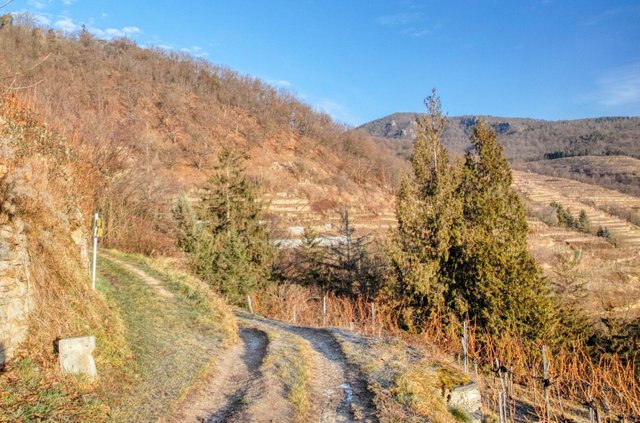
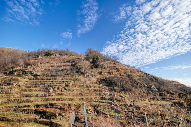
At some time you will have to walk directly through a vineyard. On the right you can see the rocks of the Achleitenwand.
These impressive rocks offer great possibilities for climbing.
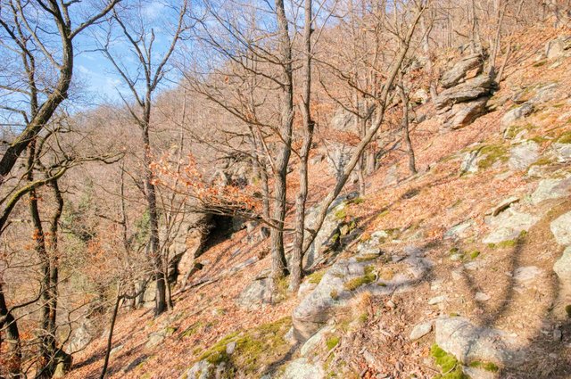
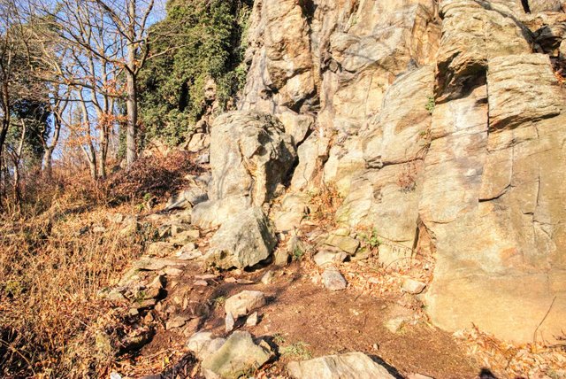
I am not a climber but I decided to make a detour from the panoramic trail and walked up the slope. I know, I am crazy. This slope has an average incline of approximately 60%. So you have to walk zig-zag. For walking up here you need physical fitness and you must be sure-footed and free from giddiness. There are absolutely not paths and you have to find your way between rocks and trees and there might also be a lot of leaves at the ground that are slippery. You must (not "you should") wear high top hiking boots when you do something like that!
But the view is of course great.
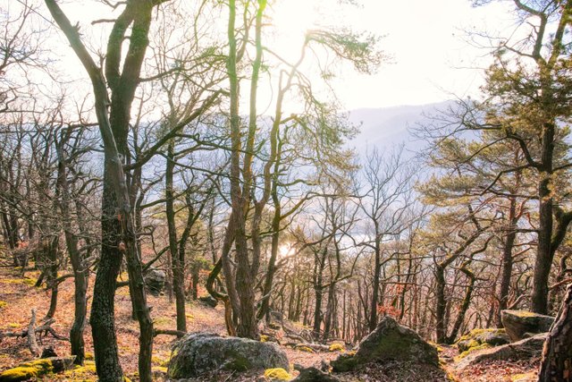
Walking downwards is maybe even more adventurous.
In the end I was happy to be back at the panoramic trail again. For this detour with approximately 300 meters in each direction (200 meters air distance) I needed more than one hour. So you can imagine how difficult and exhausting it was.
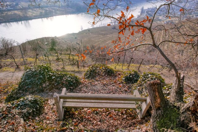
Back on the panoramic trail I enjoyed the great view - and the relatively flat path.
There are also some nice resting places.
Beautiful - isn't it?
You can do a detour to this mountain called "Kügerlwand" which seems to be quite exhausting as well.
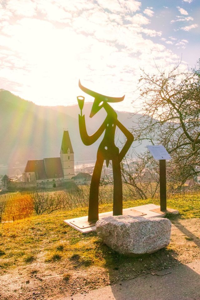
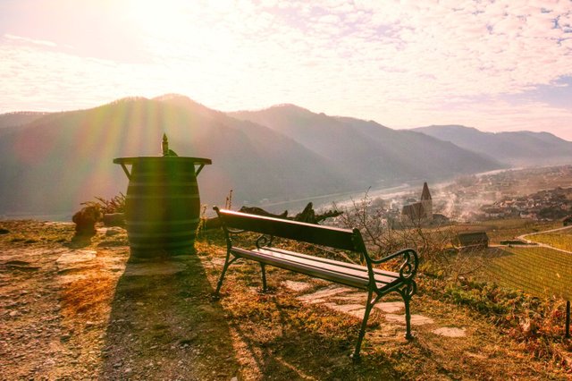
At a resting place called "Kienberger Olle" you can take a another rest and enjoy the beautiful view and this artwork.
A little bit later you have to turn left…
and walk down the "Weitenbergweg".
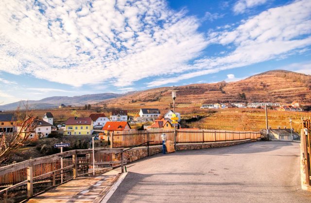
This street will lead you to the "Bachgasse", one of the main roads of Weißenkirchen. Turn left and walk downwards again.
Soon you will be back in Weißenkirchen again.
The panoramic trail (without the detour) has a hiking distance of 3.64 km and you'll need approximately one and a half hour.
It is a nice hike with great views but the first half of the hike is quite steep. Therefore and because of the small tracks through the wood it is not recommendable for strollers.
A detailled German description including a detailled map and more images can be found on my weblog schmatz.blog!
View this post on TravelFeed for the best experience.
Du hast einen Vote von @portalvotes bekommen.
Congratulations, Your Post Has Been Added To The Steemit Worldmap!
Author link: http://steemitworldmap.com?author=schmatz
Post link: http://steemitworldmap.com?post=the-achleiten-panoramic-trail-in-weissenkirchen
Want to have your post on the map too?
Congratulations @schmatz! Your post brought a smile to the TravelFeed team so we have sent you a smiley. Keep up the good job. 🙂
Feedback
Based on your post, we have the following feedback for you:
Thanks for using TravelFeed!
@worldcapture (TravelFeed team)
PS: Have you joined our Discord yet? This is where over 1000 members of the TravelFeed come together to chat. Join us!