Running the Trail Du Mont Blanc ( TMB) in Four Days - Part One La Houches To Chapieux
Let me take you on a journey along one of the most spectacular mountain trails in the world, the Trail Du Mont Blanc.
People from all over the world walk the 168km TMB route every year , taking a week to 10 days to do it.
You start in France and go through Italy, Switzerland and then back to Chamonix France.
Most of the hills on the trail are 10km vertical and the same back down to the valleys.
Every part of the trail is outstandingly beautiful.
The highest point reached by the standard route is 2,584m (8,478ft) and the height gain (and therefore loss) around the whole Tour is around 10,600m (35,000ft).
It starts in La Houches heading out of the village and contrary to what the sign says as it's pointing the wrong way, you go opposite to this and a sharp left that leads to a steep, Very steep track that goes on for a very long time to the Col De Voza.
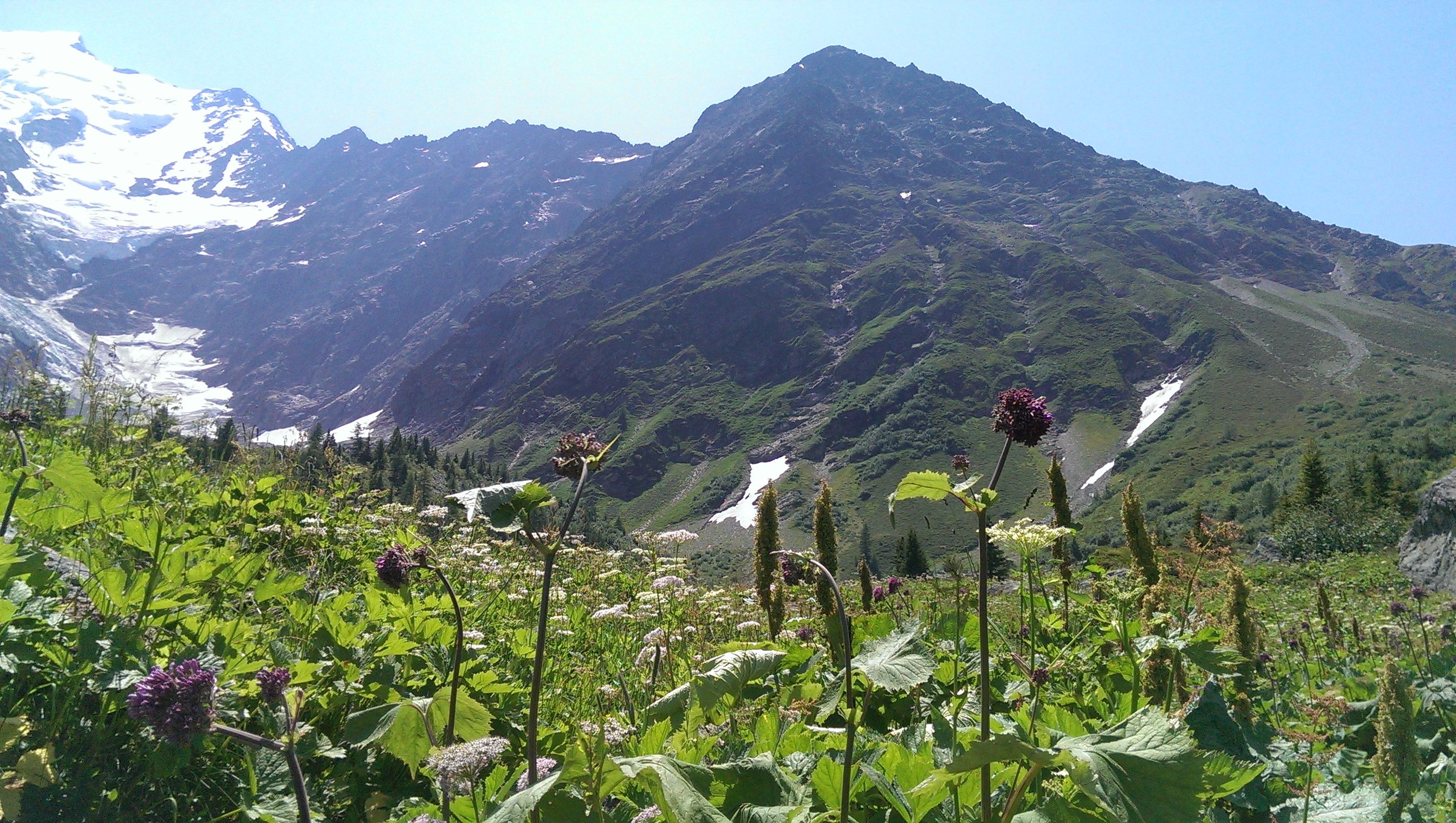
For me running this big hill is like any other, I have a saying that goes... "If you want to move fast on the mountain, you must go slow" So when I run uphill it's a slow rhythm, yet a lot faster than any walker. I make sure that my heart beat is never pounding, as this is all about endurance and being able to sustain the distance. Once the Col De Voza is reached you will cross a tram track and have options to go straight down the valley for Contamines, or take a right and it leads to Saint Gervais or left and more uphill for the steeper scenic route to the Col De Tricot. All alternatives lead to Contamines.
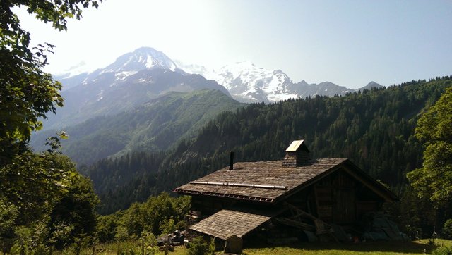
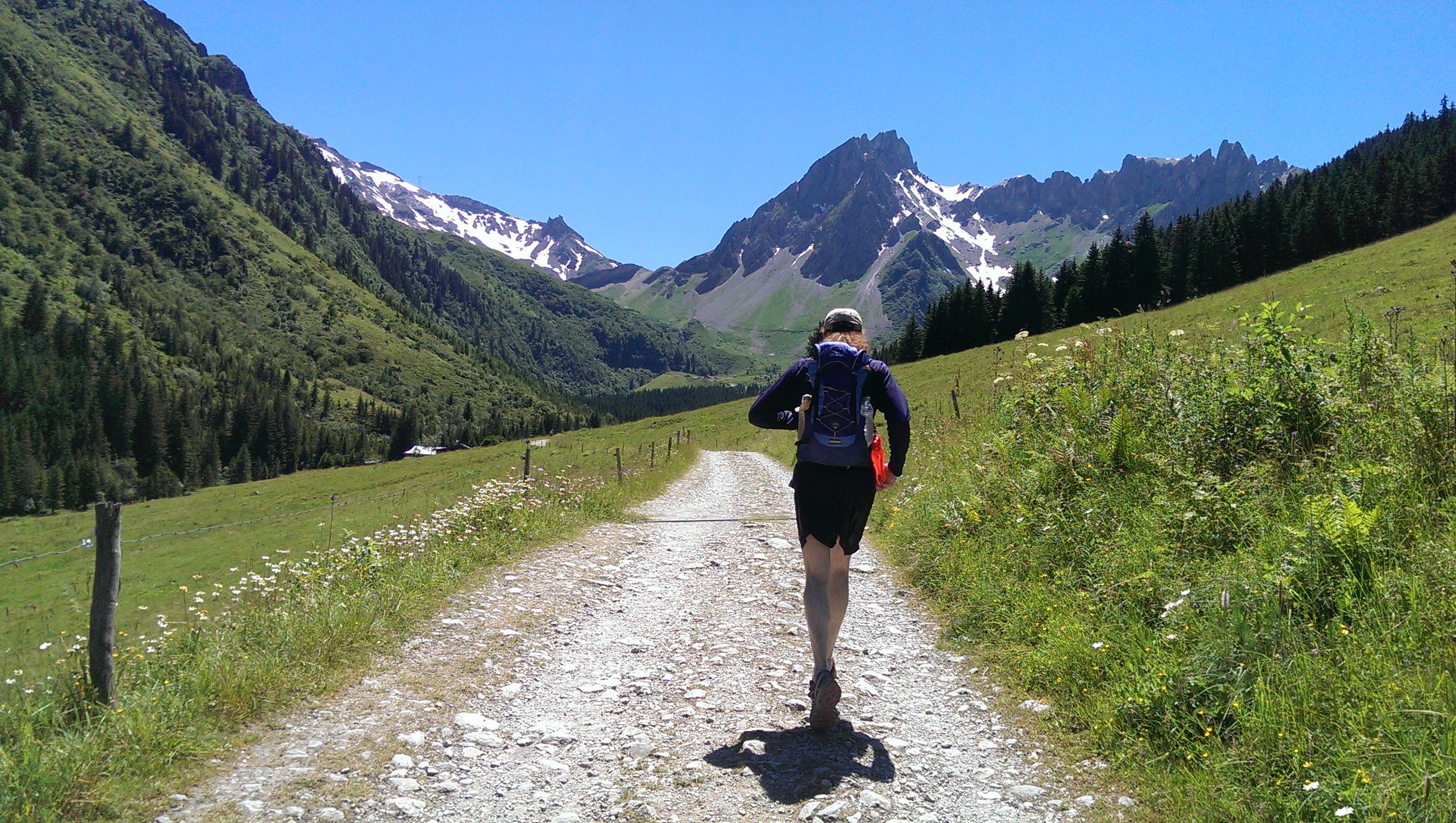
One of the views heading up to the Col De Voza
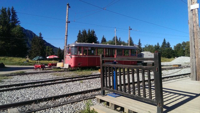
The tramway at the Col De Voza
The first year I ran the trail it was the year of the 2015 heat wave so it was 40 degrees even high up in the mountains, in the valleys below it was 50's plus. So yes you got it, that year I went the steeper option and harder route to the Col De Tricot.
Which meant that it took much longer and I ended up being unable to get to the hostel I had booked in Chapieux on time, meaning dinner was missed and I just barely made it to Refuge Croix Du Bonhomme before dark and luckily they had room! But no food, except for a couple of slices of dry bread and cheese and a welcome cup of tea. This refuge has the most glorious views but is on one of the highest points along the trail, so if you are not used to altitude, you can really feel it there. The dorm I was in had about 40 people in it, so got no sleep that night. There was however a very rare spectacle in the sky that night and that was the alignment of Venus and Jupiter, which was crystal clear and very lovely to see.
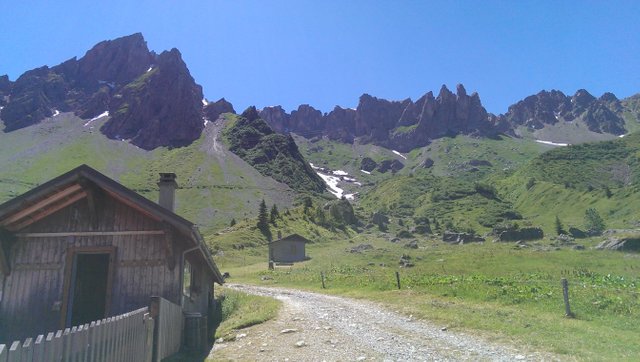
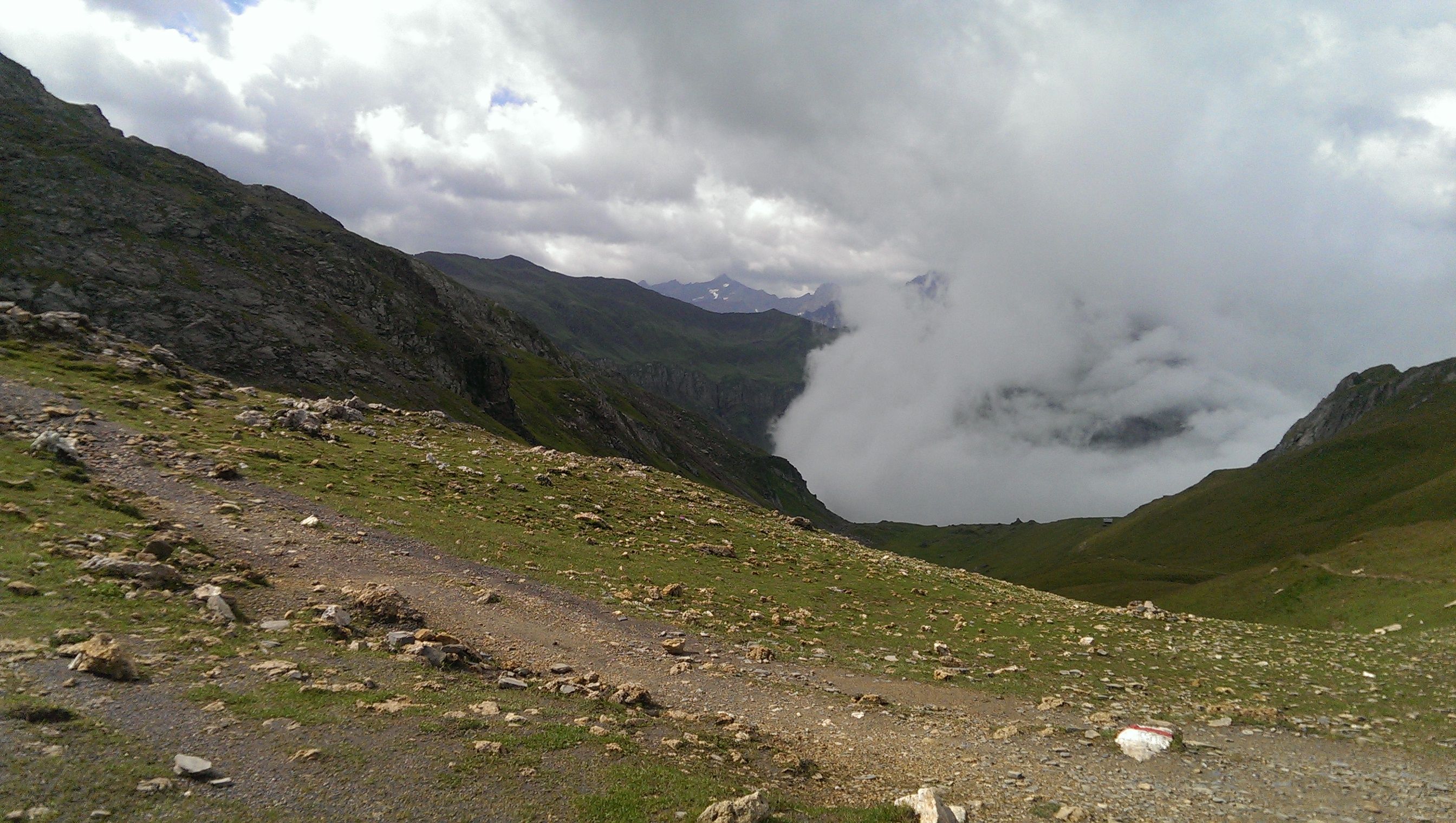
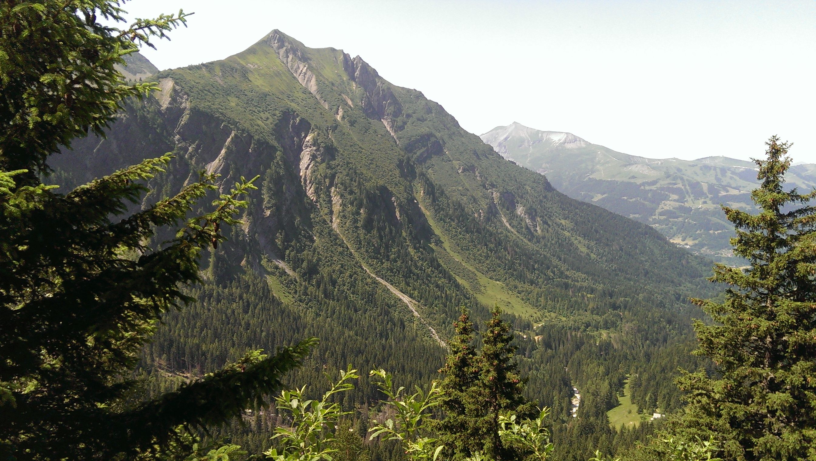 Views along the way to the Col De Tricot
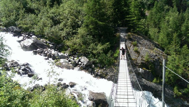
Crossing the bridge, the deafening roar of the river here was awesome
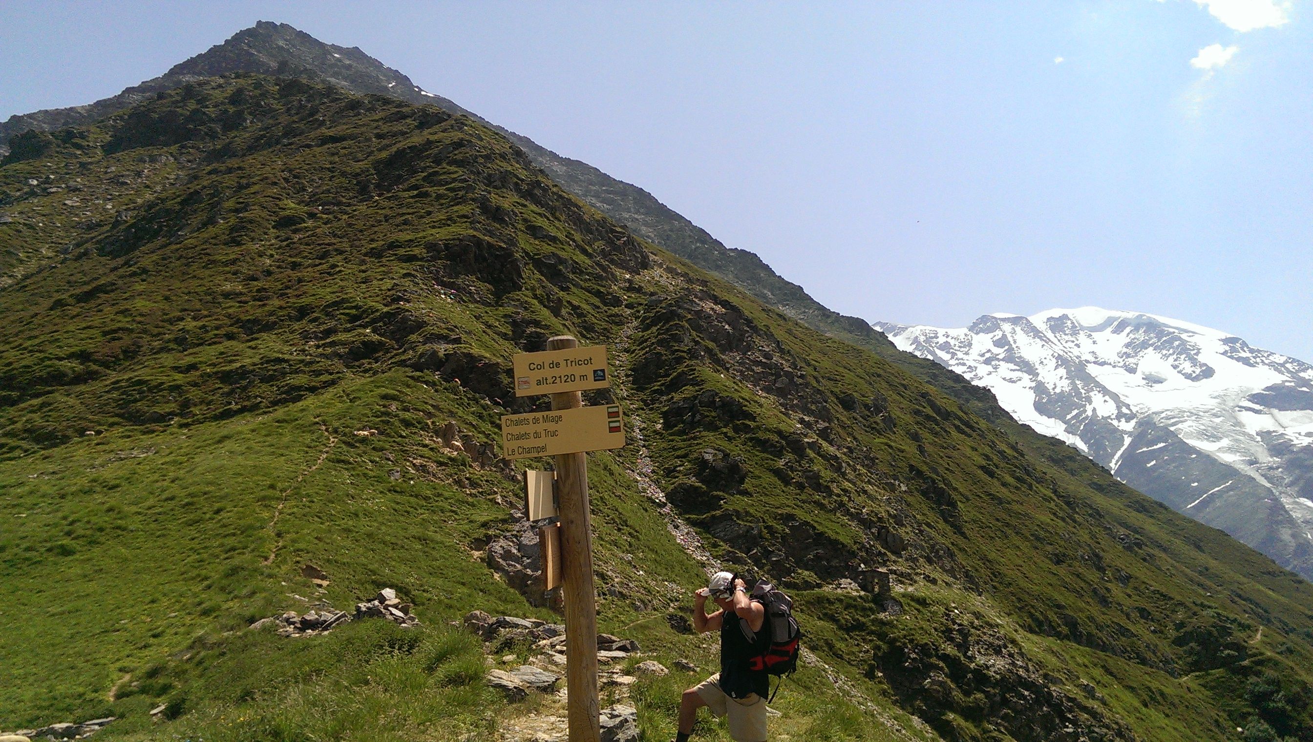
At the Col De Tricot the TMB signs in France are always yellow and have generally the TMB route marked on or near them.
The second and third year from the Col De Voza I headed straight down the valley to the village Bionnasey and crossing rivers and running gradual easy climbs through woodlands that ultimately leads to the town of Les Contamines.
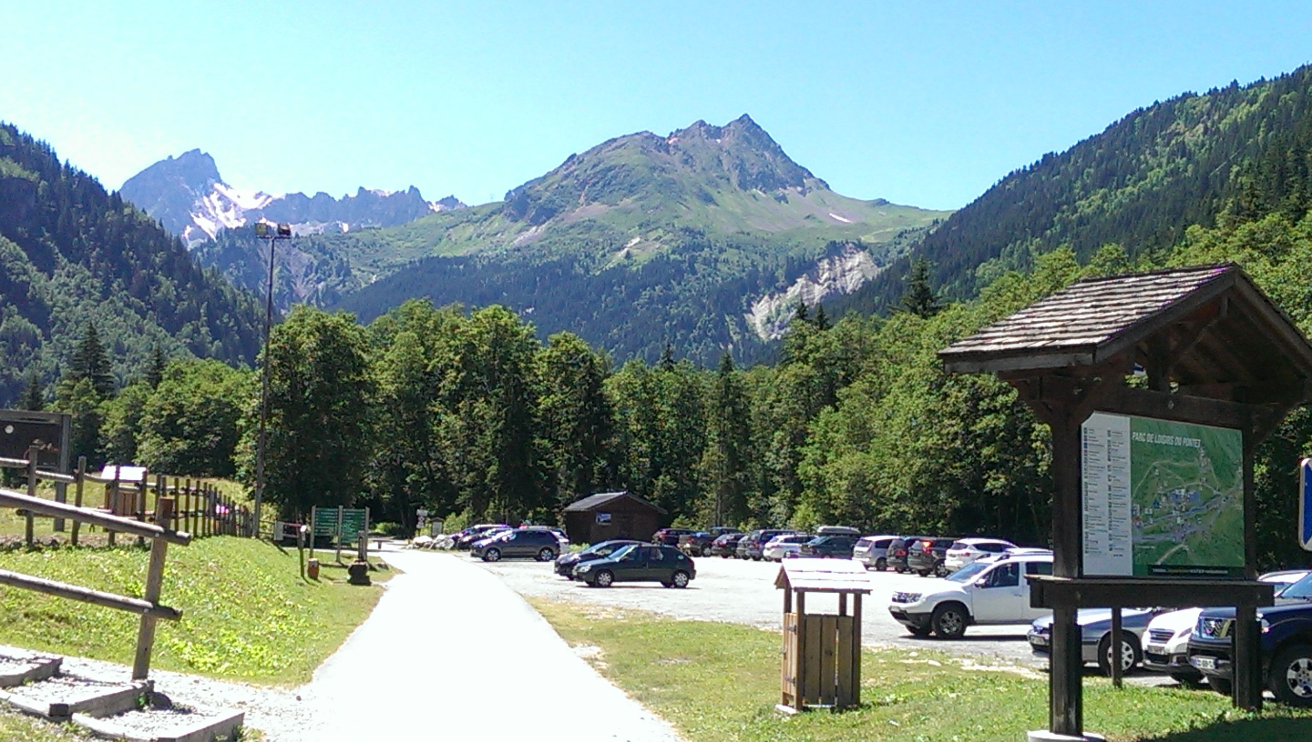
Taking a well earned break there to eat some fruit and have a coffee, before heading on to Notre Dame De La Gorge.
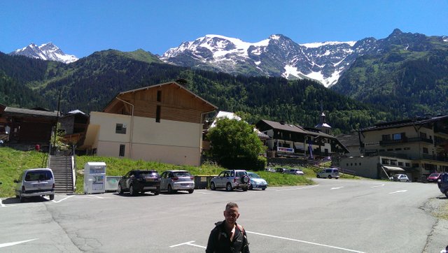
In the carpark to La Contamines
Heading to Notre Dame De La Gorge
To get there you have to back track down the steep little hill that lead to the carpark of Contamines and then go left back on the trail with the glacial river on your right. It's a fairly straight easy flat run to Notre Dame Del La Gorge, enjoy it while it lasts because once you have arrived, it is a steep and uphill climb for 10km to the Col Du Bonhomme before ascending on to the Croix Du Bonhomme. With only a few short straight stretches along the way, but not many.
At the Col Du Bonhomme
Another time there
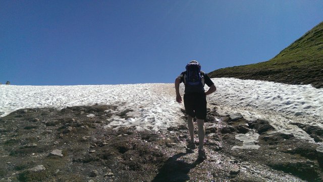
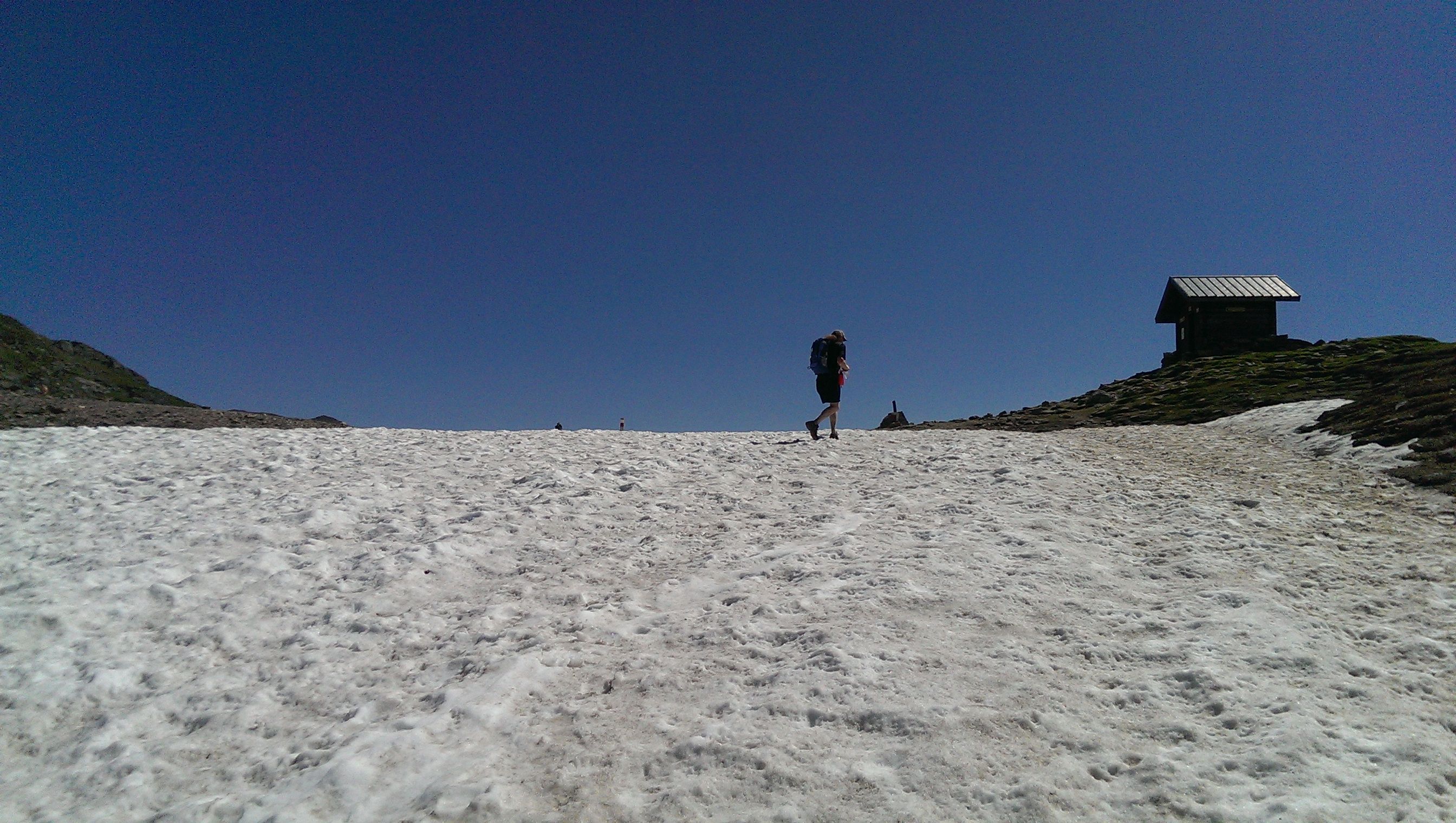
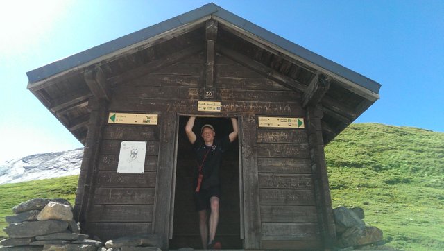
The Croix Du Bonhomme
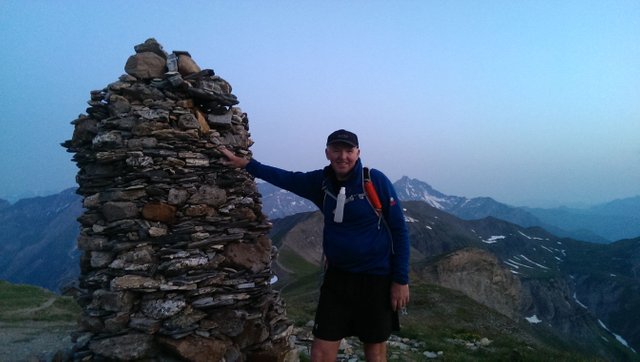
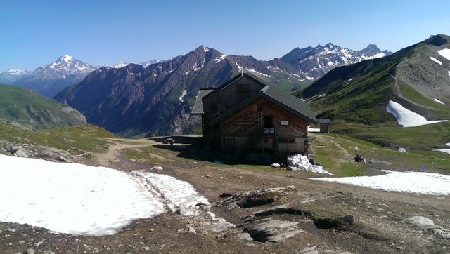
Close to the refuge
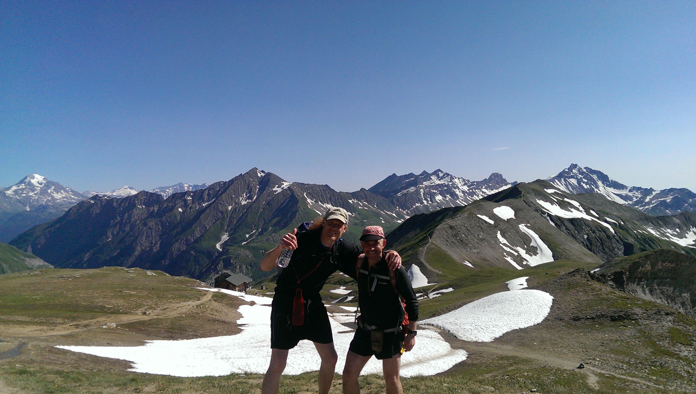
Once you reach the Refuge Croix Du Bonhomme if you have the time it is well worth it to stop here to have a break and take in the spectacular views all around. Like all refuges IF your timing is good, a variety of refreshments are served during the day!
Then there is the huge descent that goes on forever down to the tiny village of Chapieux.
Once there I highly recommend the Hostel Chambres Del Soleil. It is very reasonably priced and the food and service is excellent also the place is spotless and tastefully furnished. The other options are a cramped bed in a dorm in another hostel or there is the campsite which is free.
A word of warning once you start on the trail for the Col Du Bonhomme unless you stay lower down near the start of the accent, you only have limited options for resting, either the refuge at altitude or Chapieux and if you want to stay in the latter, you must book 6months at least in advance! As you don't want to end up like me on year 3, I left it too late and nowhere was available except a delightful excellent hostel Caban Cabal which is past the French/Italian border in Italy and really not far from Courmayeaur. bearing in mind that from Le Houches to Caban Cabal was a 42mile run and started at 3am, it is wiser to book all the refuges for the complete tour well in advance.
The photos are taken from a variety of pictures between 2015 and 2017.
With two different running buddies for each of the years.
I will be writing day two of the trip, from Chapieux to Courmayeur soon.
I hope you enjoyed the adventure and the views. All Good Wishes....
Great story, keep posting! Photos are amazing :)
What was the most difficult part?
Did you ever run CCC , too?
Thank you @nelzie! I never have run the CCC race, just the TMB three times.
The most difficult parts in my opinion are the Col De Voza, it is a really difficult start to the trail, then the from Notredame De La Gorge to the Croix Du Bonhomme and then the Col De Balme in Switzerland. I hope to post the next section by the weekend, sorry for the delay. I have been working daily on an art piece and then training late evenings to night. Have left me too tired for any kind of social media activity. But the next section is nearly finished, I am happy to say. Thanks for your comment and support.
Thanks for your answer. Whenever you answer, it is appreciated :) UTMB route is CCC+TDS with slight changes. My husband had TDS and OCC (OCC is half of CCC), so half of CCC would be half "been there, done that" he hopes :)
The first places that you mentioned near Les Houches he had during TDS but opposite direction :) The race began in Cormayer in Italy and finished via Les Houches in Chaminix. During TDS he had difficulties somewhere around Col de la Plate (Italian French border I think) and after, and most difficult was Le Contamines (near Notredame de la Gorge that you are mentioning, but we see that UTMB and TDS are not completely the same routes in that area).
Anyway, the Col de Balme ( actually area near Trient and Les Flegeres) I think that he had during OCC. OCC start was in Orsieres, in Switzerland. He agrees Trient area was difficult.
CCC begins in Courmayer in Italy, and goes via Switzerland, to Chamonix.
Hi Nelzie thanks for all the information on the various races, much appreciated!
So with the various races your husband has done, he has experienced most of the UTMB anyway. So with hard training he has a very good chance of completing it as the big race itself will not be as daunting to him as it would to someone who has never been there before. So he should go for it!
What a great post, Zincali 😊.
Thank you, @dewdrop, delighted that you enjoyed it!
Loved your story and photos! :)
Delighted to hear that @lavidaesunviaje, cheers buddy!
if you wanna check I did i bunch of travel posts! :)
I shall