Colorado Rockies Front Range- Part 4 Mount Bierstadt: The Climb into Darkness ( A How to Account Includes tips and a video of Rocky mountain summit in darkness)
*Climbing in the Colorado front range. A first test of high altitude tolerance and a climb into the sky .
Previously:
The Long and Winding Road
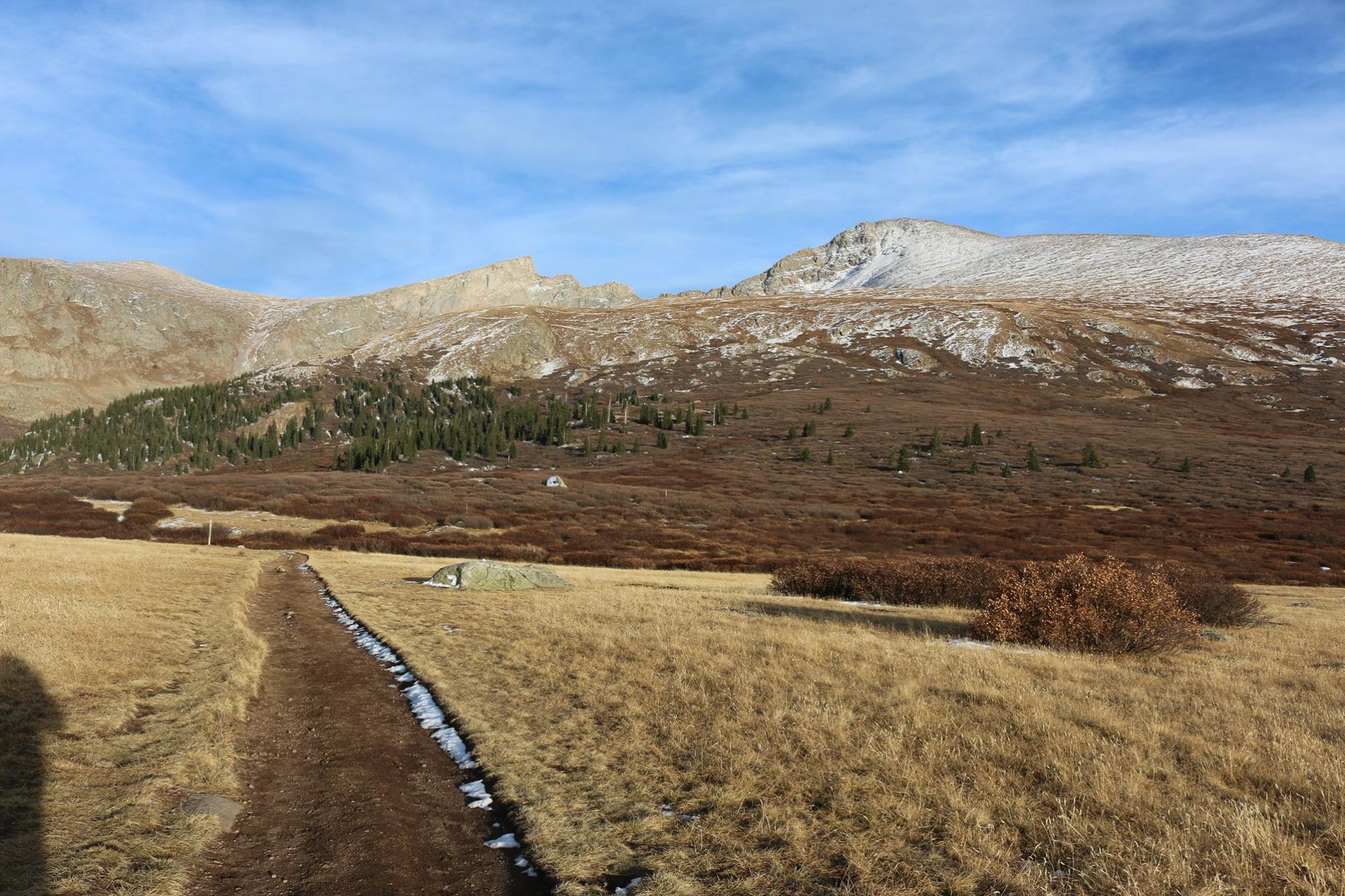
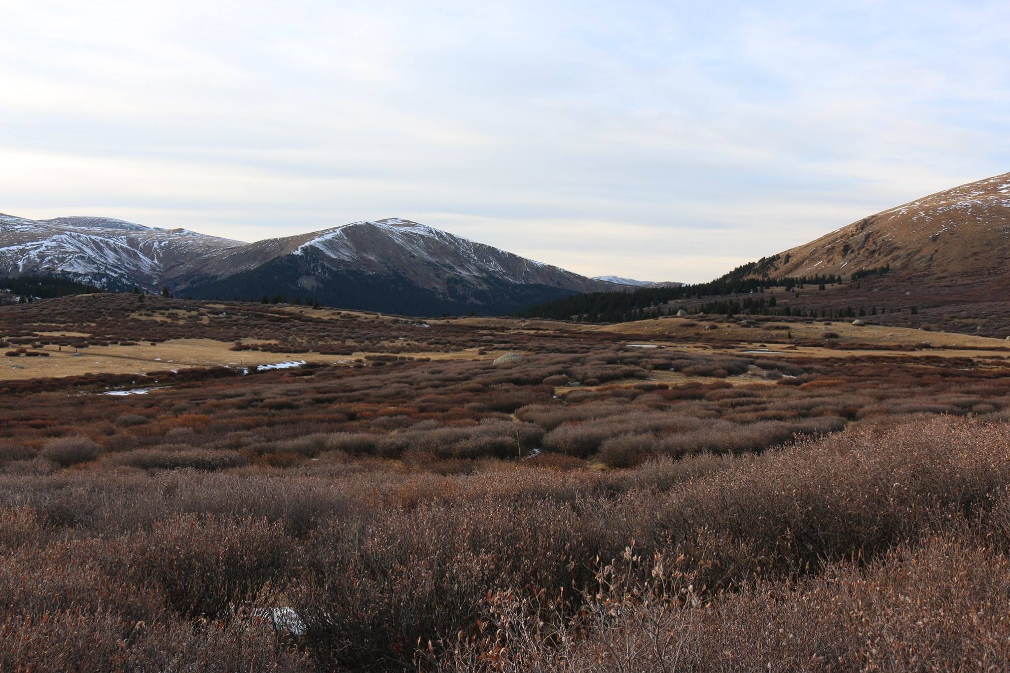
And so my Steemit explorer friends, here we are at the trailhead of Mount Bierstadt on Guanella pass road at about 11,000 feet. Some 16 hours ago I had gotten out of bed at 330 feet above sea level so this was going to be something of a reality check. It is hard to predict how any one individual will respond to altitude so I was going to find out.
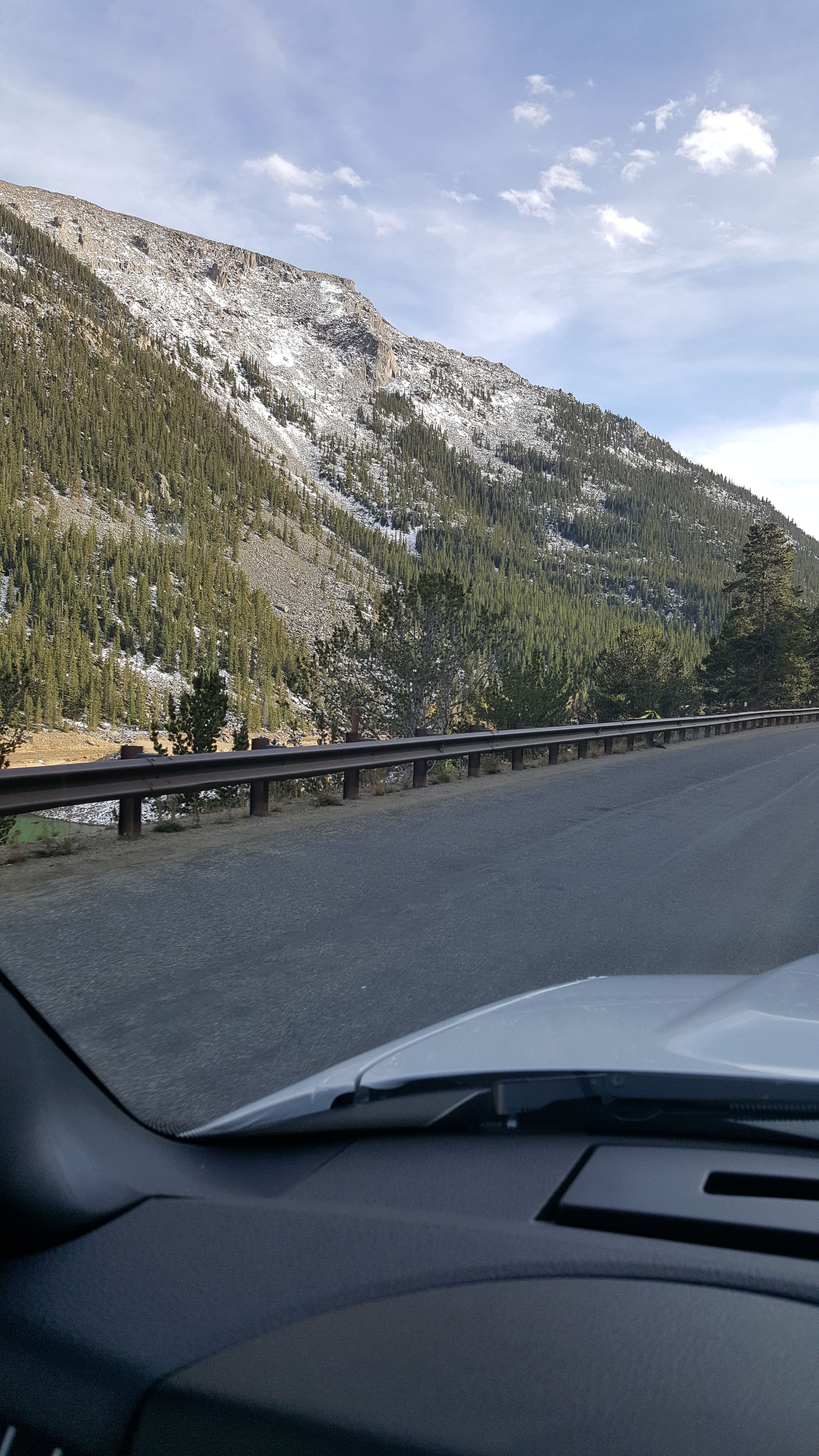
I had driven along Interstate Route 70 from Denver out to my hotel at Idaho Springs at 7500 feet without noticing any symptoms of altitude sickness so I had decided to continue westward to Georgetown then head south on Guanella pass road to the trailhead itself. The road gradually increases in altitude from 8500 feet in Georgetown until it reaches the trailhead at 11,000 feet.
It is admittedly a strange feeling waiting for an invisible force to give you a massive headache or steal your breath- at least if it is going to. Wierdly enough, I took some comfort in the fact that I was inside a big truck. Admittedly foolish of course, but I was in terra incognita, and before long even the truck began to feel very small. I drove slowly and consciously tried to breathe deeply and frequently- an effort I was to maintain the entire time I spent awake above Idaho Springs. Occasionally I would get out and slowly walk around the truck and take pictures.
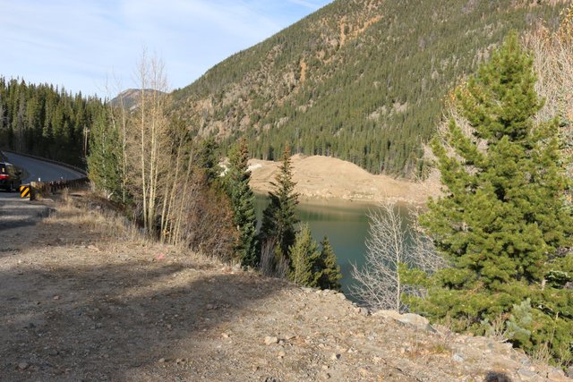
Clear Lake...Little Sugarloaf Mountain
I arrived at the trailhead around 6 pm, layered up, put on my backpack and headed for the trail, map in hand and compass and headlamp on their lanyards around my neck.
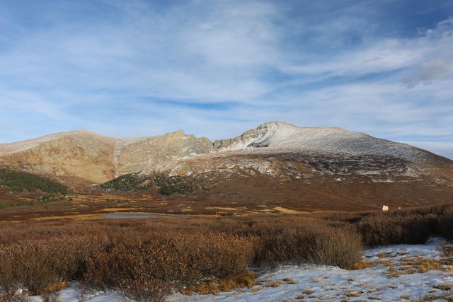
Mount Bierstadt and the Sawtooth from the trailhead 11,560 ft
The Tie that Binds: Lanyards
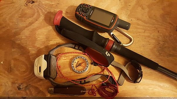
Lanyards are small loops of cord that are tied to pieces of equipment and then slung around some part of your body, generally your neck or wrists and occasionally your belt. I am reminded of a poem from my childhood reminding me of
the critical importance of small things of which lanyards are one:
Because of the nail the shoe was lost,
Because of the shoe the horse was lost,
Because of the horse the rider was lost,
Because of the rider the battle was lost.
In my direct experience you can never afford not to have a critical item either stowed or attached to your body by a lanyard because invariably you will forget it at a location or drop it unknowingly. This especially includes compasses, but even larger items like a camera, glasses and hiking poles must be locked in. I often use carabiners attached to the shoulder straps of my pack for the purpose.
In general I find I can keep track of one, and only one, item in my hands. This is typically a map. If there is even one other item, it invariably gets lost.
It is also critical to note that in the mountains you may simply drop it into a location where it will prove impossible to recover, and your sudden reaction to dropping something can itself prove to be very dangerous. Paul Preuss, arguably one of the greatest solo climbers in history, died falling a thousand feet from the ridge on the Mandlkogel in Austria.
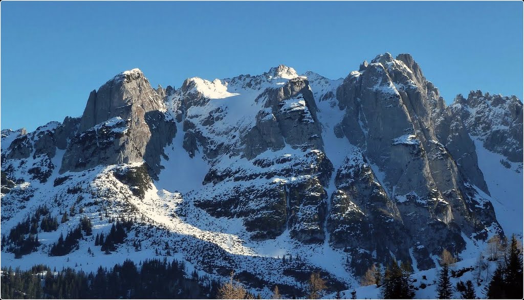
Photo by Norman Steidel
It is believed he fell after losing his balance while trying to recover a pocketknife he had dropped. There is a powerful reflexive tendency to grab for something important that has fallen from your grasp and, in the mountains, it can prove fatal.
So a simple lanyard can really save the day.
Here we're crossing over the willow wetland on a boardwalk. This part was much easier than I had thought ( on the way back from the Sawtooth on another day it was to be far more difficult. I welcomed the ease since I was actually descending from the trailhead to around 11,400 feet before climbing up much higher.
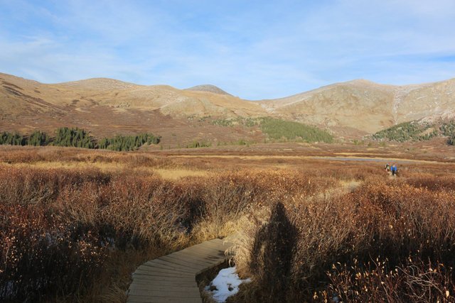
The walkway over the "dreaded willows" 11,520 ft
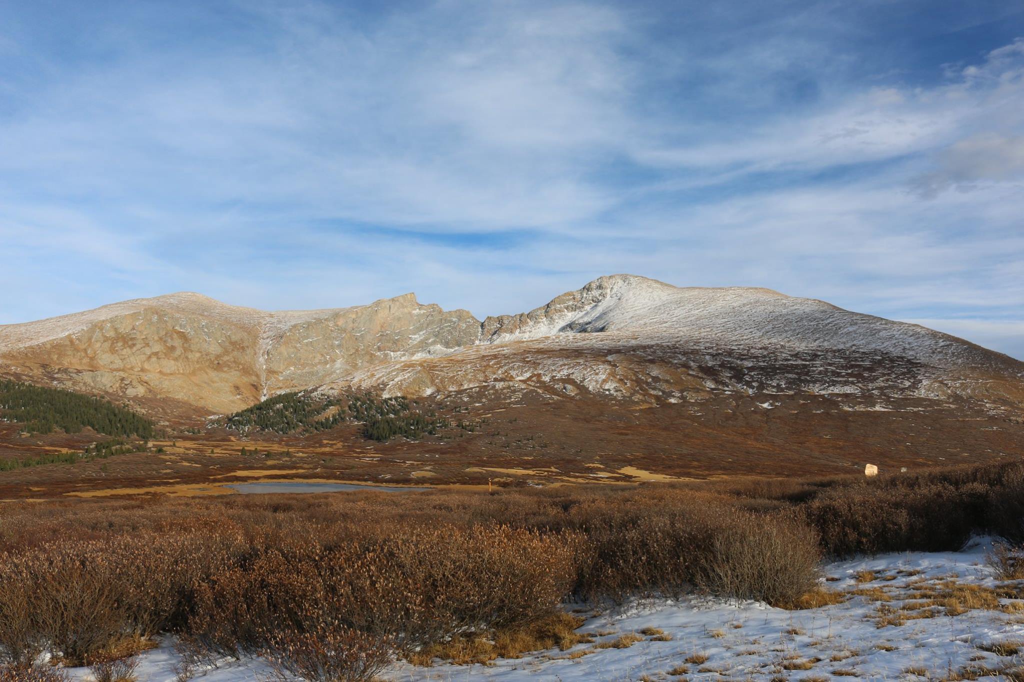
Soon I was getting quite a bit closer. I decided to test 12,000 feet and see how I felt.
getting closer, 11,520 feet
The trail moves through the wetlands and around Deadman's Lake. A rather encouraging name, or at least painfully motivating...

closer, dipping down to about 11510 ft
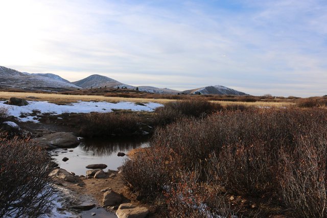
I continued on toward Scott Gomer creek; my next landmark...
moving toward Scott Gomer creek
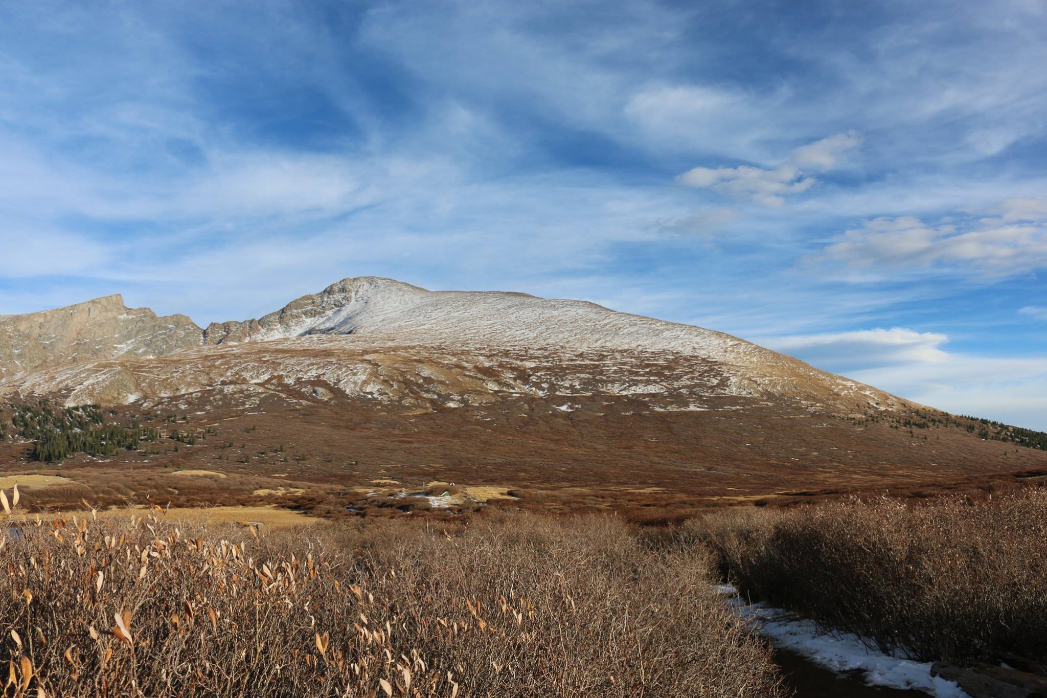
Here I was felt I was getting quite close. In fact the mountains out west can be very misleading in terms of size and distance. I am actually more than 3/4 of a mile away- and Mount Bierstadt is enormous! While at REI I told one of the outfitters humbly enough that I was just doing "the baby climb" on Mount Bierstadt. She just laughed. There are no easy climbs in the Colorado 14ers.
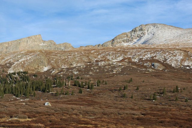
Mount Bierstadt and the Sawtooth. Getting close
I arrived at Scott Gomer creek, my next landmark. It was relatively easy to ford but you had to do some stone hopping. In October the water is icy cold. Hiking poles are very useful in crossing streams with possible slippery stones as they help you keep your balance as you navigate across them.
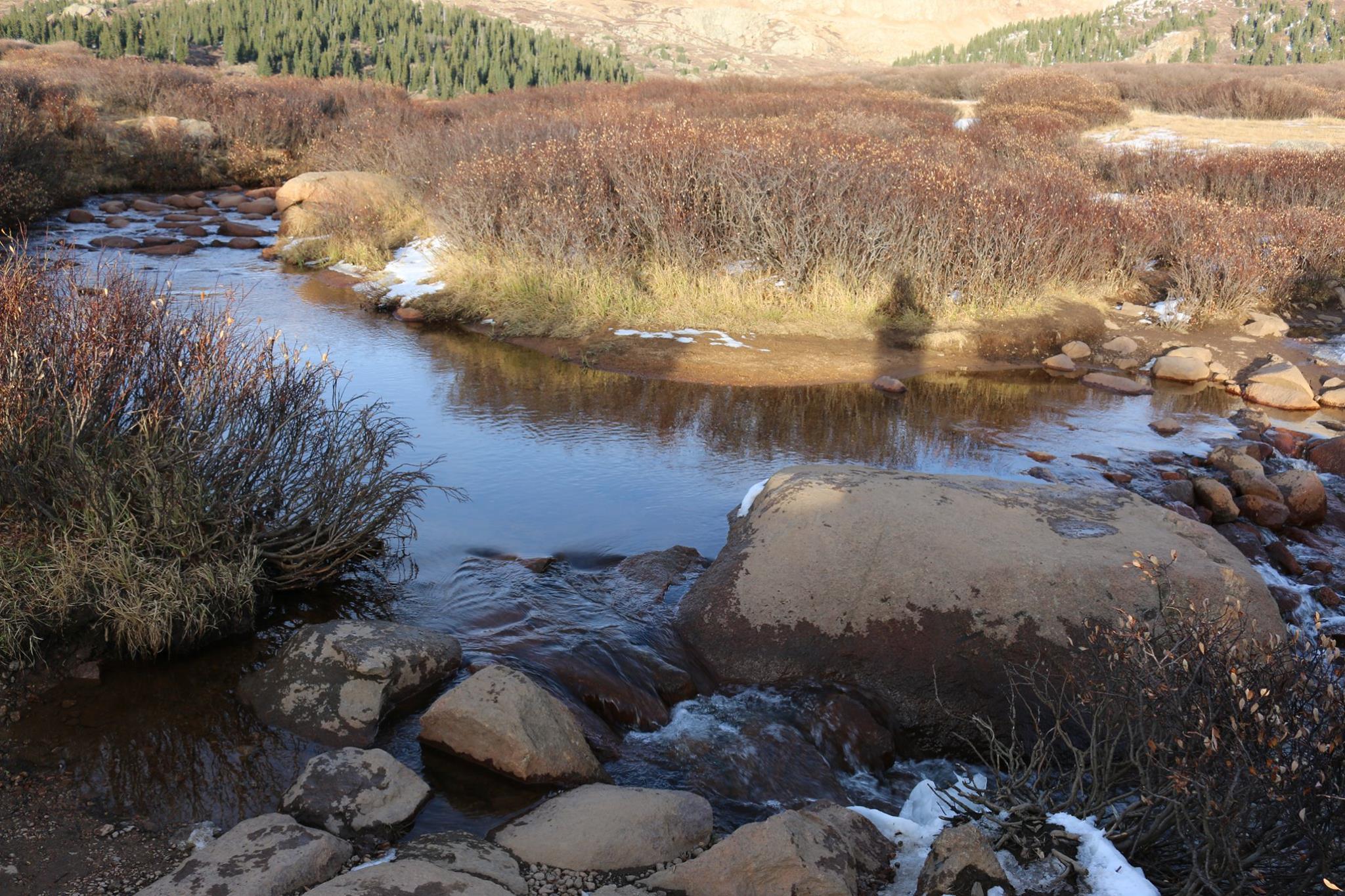
Scott Gomer Creek.
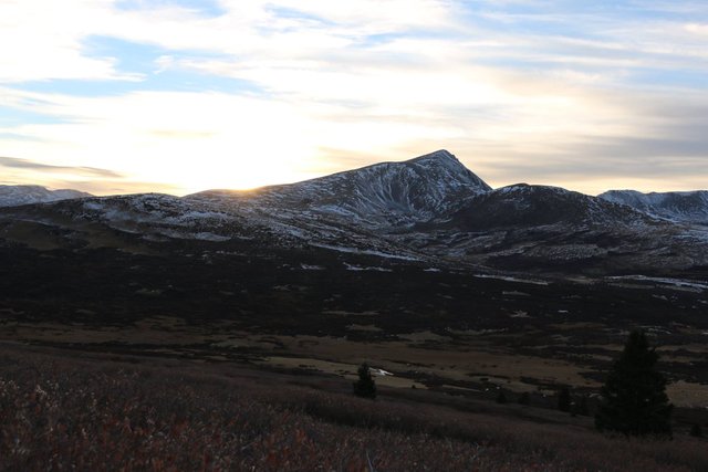
By now the sun was getting quite low in the sky and was beginning to set. Conditions seemed favorable and there were no storms reported however so I continued on. I had a Petzl RXP headlamp which is very good for night navigation as well as a duplicate spare and an extra battery. I had a lot of experience using it on mountains back east after dark as well. I am used to navigation in darkness and even train in compass navigation without light ( my compass dial is luminescent).
crossing Scott Gomer. The sun is beginning to set
I decided to continue climbing until I had difficulty or 13,000 feet whichever came first...The mountains behind me began to darken as the sun set.
looking out at a landscape rapidly entering twilight
getting darker.
As it got darker I took a compass bearing on the summit of Mount Bierstadt as well as the trailhead itself- just in case out of habit if nothing else.
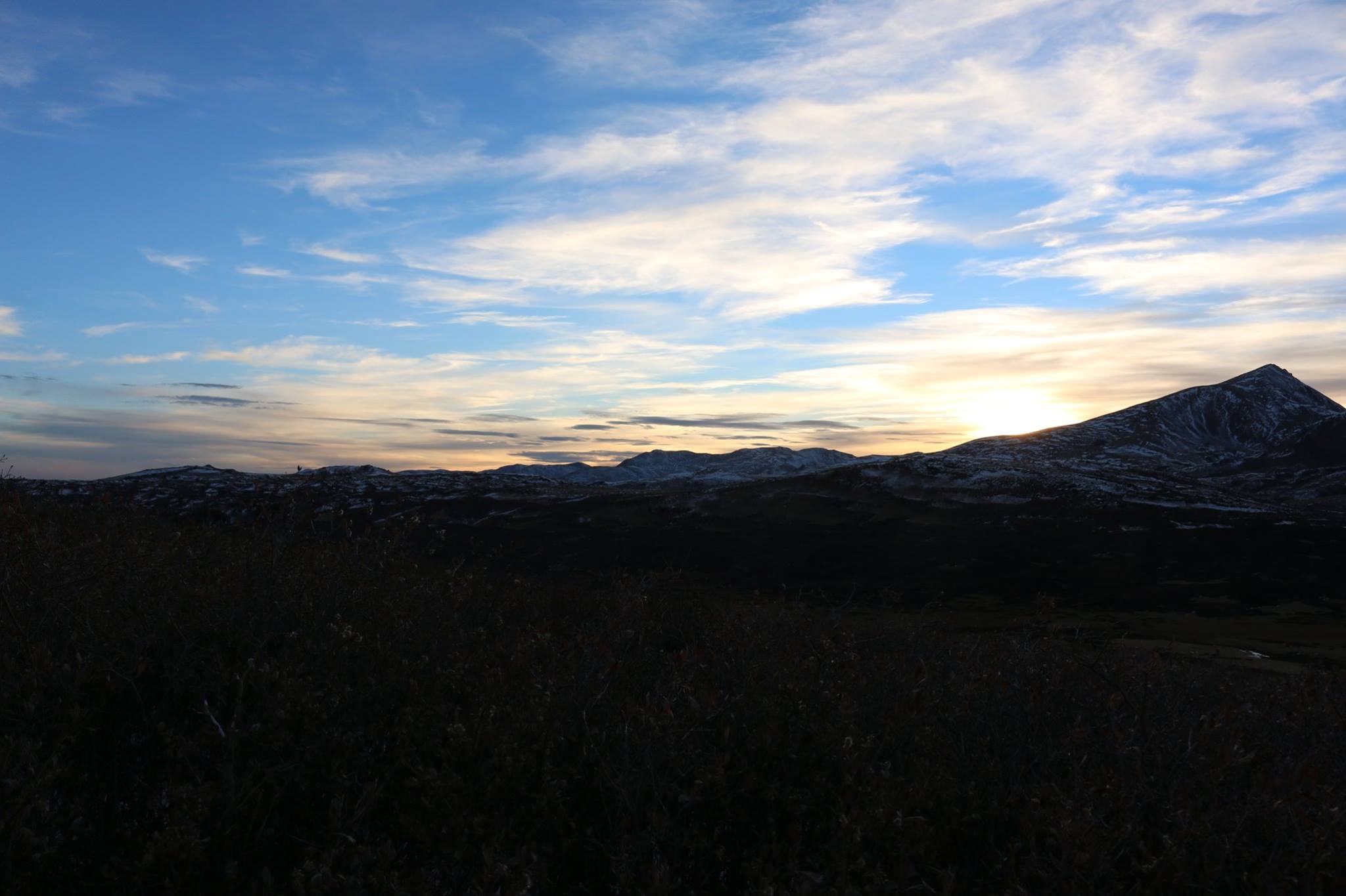
near darkness. Take compass bearing on trailhead and Mount Bierstadt
I was now moving from 12,000 to 13,000 feet. It was beginning to get dark. Petzl RXP headlamp on! This headlamp reacts automatically to changing light levels. It may sound foolishly complex but it actually saves battery life because it only delivers the amount of light you actually need. It was incredibly exhilarating; the entire slope was painted in orange light and the feeling of euphoria is indescribable. It was like being at a celebration- the whole mountain was alive and brilliant!
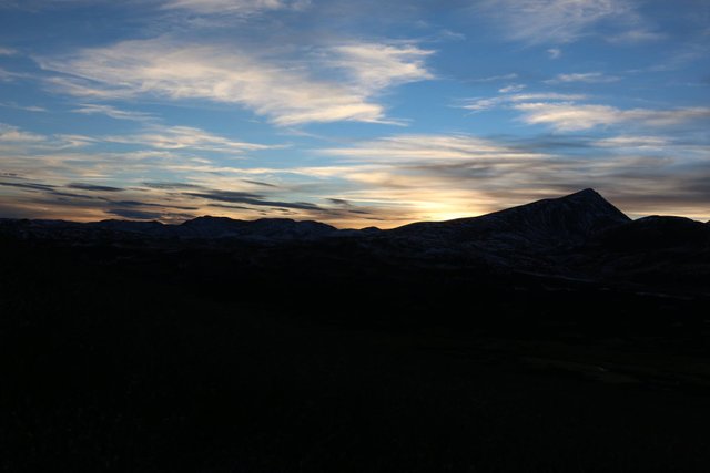
near total darkness.
At this point I was at approximately 13,000 feet and was elated to be feeling fine! Up and up I went with good progress. I did pay close heed to my breathing however, moving slowly and taking deep breaths and even taking full stops during which I would breath deeply a few times in a row. Still though, things were going amazingly well so I decided to try for the summit. By now it was 1000 feet above- and I was well used to hikes of 2000-3000 foot elevation gain. They can be very hard when you first get started, particularly with high pack weights.
However, things got somewhat confusing because there did not seem to be any particular path that I could see and others had taken paths in assorted directions. I began to notice my altimeter seemed almost stuck at 13,200 feet for a time possibly due to falling temperatures and a certain amount of meandering. So I began to simply make for the peak using my compass seeking first to arrive at a point on the ridge to the Southwest. I did find a cairn of rocks on the ridge confirming my heading was approximately correct and, after a lot of struggling arrived on the summit. The summit carapace proved to be a monstrous pile of broken rock hundreds of feet high over which I struggled like a bug. And toward the top the wind was tearing through with unleashed tummult.
Here is a brief sample of what it is like on top of a 14er at night. I am actually in a pit; the post points toward the approximate summit. A small summit canister is behind me to my right just a bit outside the pit. I did not see it until I climbed the peak again in daylight two days later.
<iframe width="1280" height="720" src="As with many mountains, the adventure really begins in earnest when you have to climb down. And for me, the adventure was working over talus slopes covered with slippery ice and snow covered rocks; some the size of houses. The concentration required to get out of one of these is intense and prolonged because each and every decision about where and how you place your body, feet and poles can make a difference between a bone breaking slip or a safe move. And all the while the wind is howling, pawing, nudging and pushing you around like some invisible beast. And you must make yourself stop and breathe deeply- again and again. Because you are not acclimated to 50 percent oxygen.
But still I was fine! It was getting really tough going however moving over the rocks and, because of the fall line I knew I was coming down to the East of where the two possible trails were. So I took a bearing designed to land between them basically descending as rapidly as possible while trying to drift to the West to intersect the path. Eventually around 13,200 feet I escaped the rock and, soon after encountered one of the paths. After that I was fine, and things got easier.
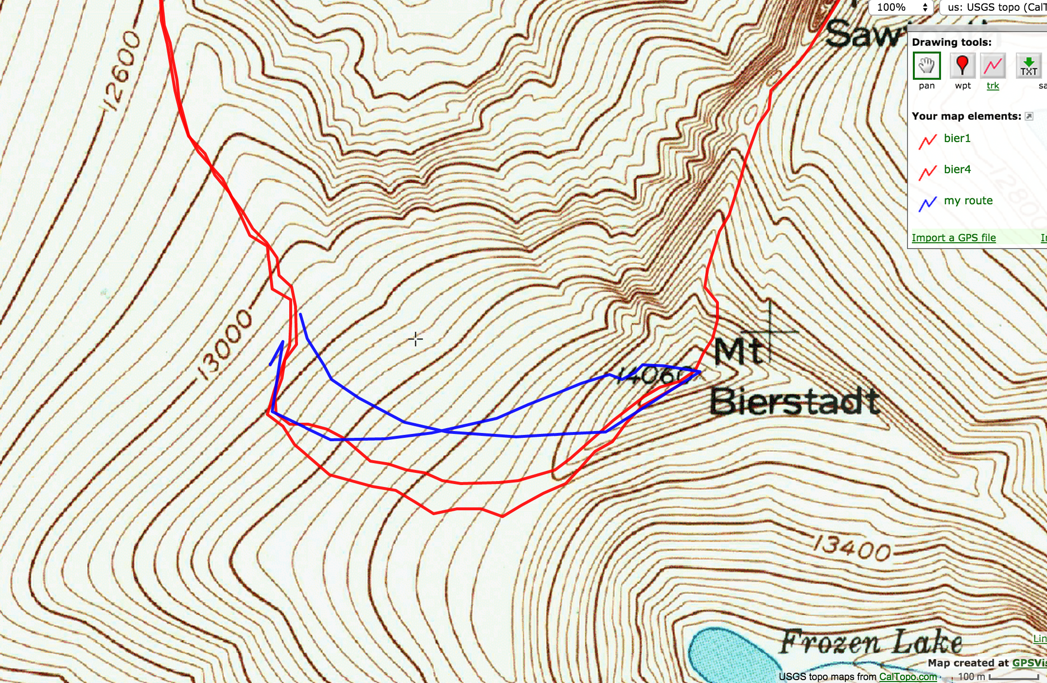
The struggle down. The red shows the two routes, the blue my approximate path.
Of the final climb to the trailhead I will tell of just a bit. There was filtering water from the Scott Gomer at 3:30 am and the incredibly refreshing draught after, the incredible range of the signal from my keys to get my truck's lights to flash so it would be easier to find ( it is often the most difficult just as you arrive to the road for some reason), and my stumbling into my hotel room, tearing my boots and socks off from bleeding insteps and finally falling into bed around 5:30 am after having been awake about 30 hours and climbing for the last ten or so.
And that was among the most amazing ten hours of my life so I am glad to have shared them with you. I was to climb Mount Bierstadt again and climb over the Sawtooth- but that is a story for another time.
As always my Steemit friends, please forgive me if I have sometimes focused more on the struggle than the beauty.
I only do this so that your journey is a safe and pleasant one should you give this a try for yourself.
It is from the struggle to navigate that Freedom comes, the Freedom to go in trackless places, to see things as the ancestors did- new and untrammelled. And in that sense of fear and awe the beauty and vastness can influence you that much more profoundly. Surviving to self reliance takes a good deal of humility but that humility is easy to come by out here :)
Please Follow me as I seek this Freedom.
PS. all pictures are taken with a Canon EOS 70D (18-55 mm lens, hooded because you need it hooded out here-it gets banged around a lot!)
Lookslike some of the places where they filmed the revenant.
Yes. They filmed in BC in what I believe are the Canadian Rockies.
Oh really? I guess it's more wild up there?
No. Its probably about the same. They filmed in several other locations also
I think the other thing is that the altitude is somewhat lower up there. You would have half the film crew struggling in CO where even the trailheads can be at 9- 11,0000 feet. But the landscape is incredibly rugged! Check out @unipsycho and his adventures; he hails from there!
AH yeah, that's interesting. I bet it was hard as hell just to shoot the Revenant at lower altitude considering the rugged terrain. On the Lord of the RIngs Production in New Zealand, they had to use helicopters to reach many of the locations.