4x4 Fail. Camping above the clouds. The Opium Mountain.
Knowledge of a mountain that offered fantastic views from above the clouds, a dark history and some challenging off-roading was too good to pass.
We left the main road and headed towards the last village at the foot of the mountain, Doi Suan Ya Luang in Nan Province, Thailand. 1000 hairpin bends later, we made it.
I knew we had 3 hours of light left and 10km to the top- it seemed do-able!
The video below was put together using the Garmin tracking app that I found online on a Thai trekking website and became my 'how-to-get-there' map.
The whole mountain had been deforested many decades ago. Up until 40 years ago, this was a NO-GO opium plantation. All produce was sent to China and was heavily guarded especially in the later years. Today all opium plants have been replaced with coffee or left for grass to grow over.
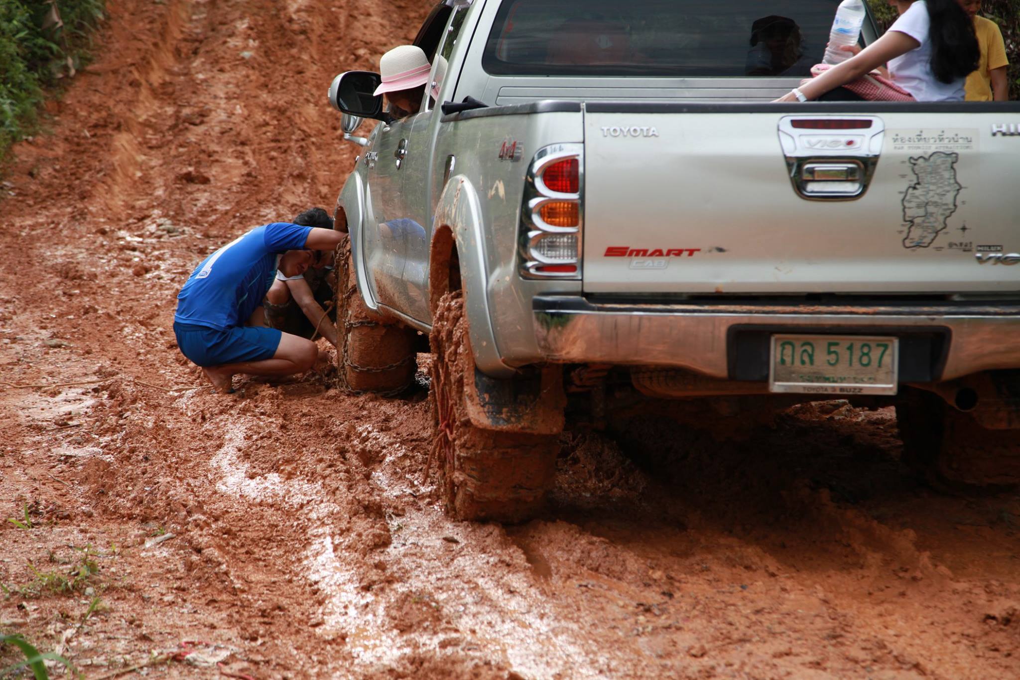
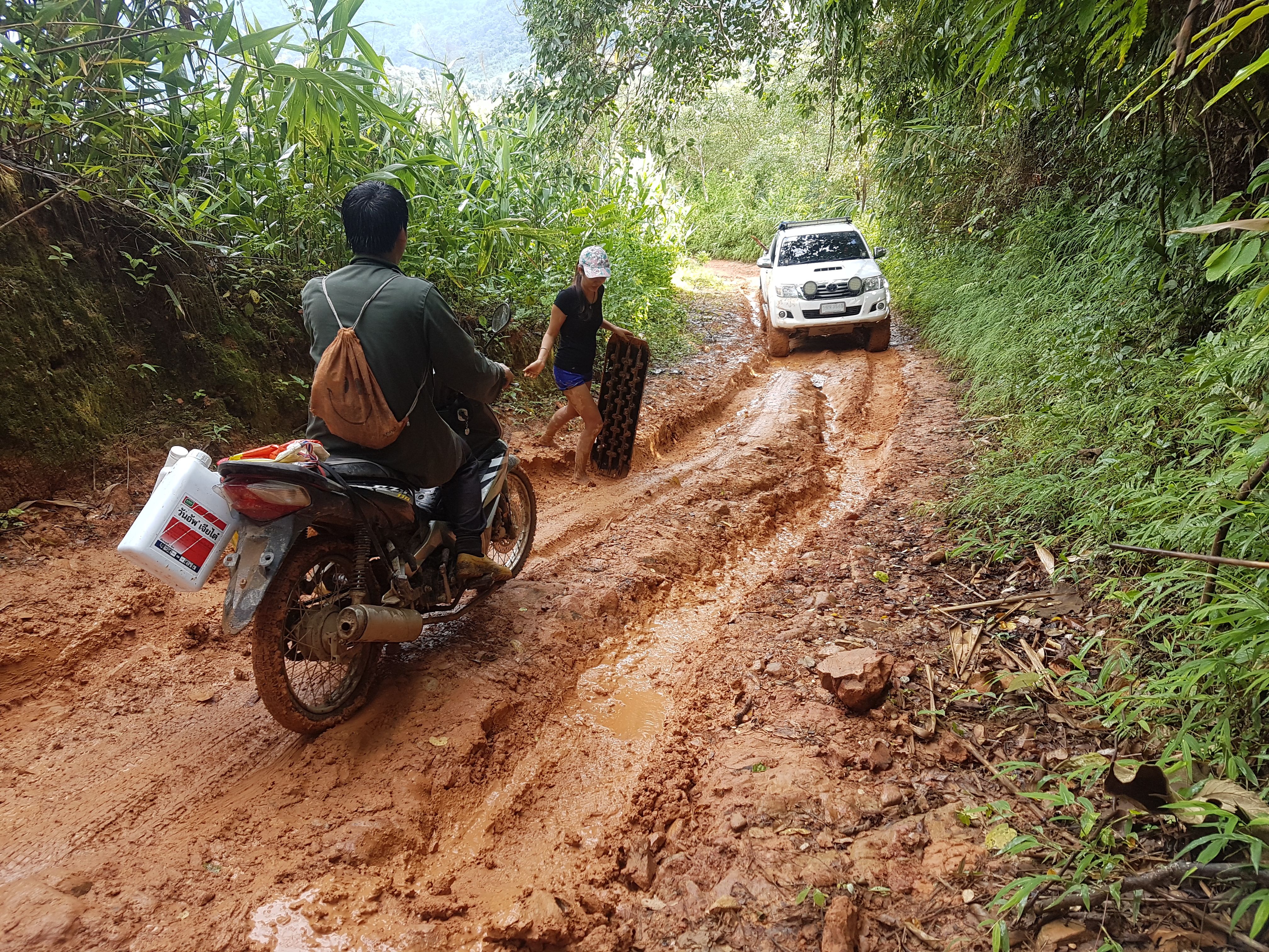
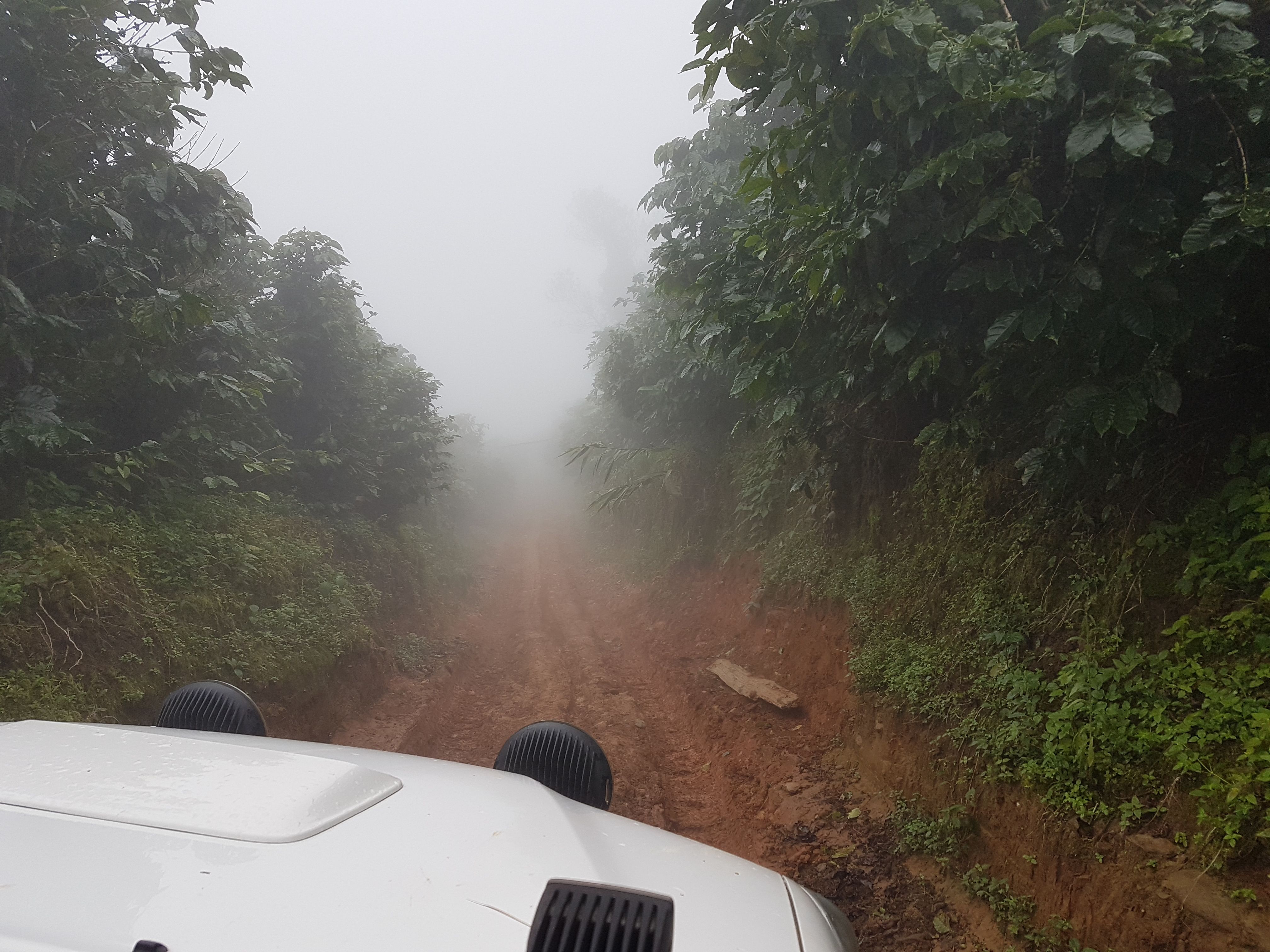
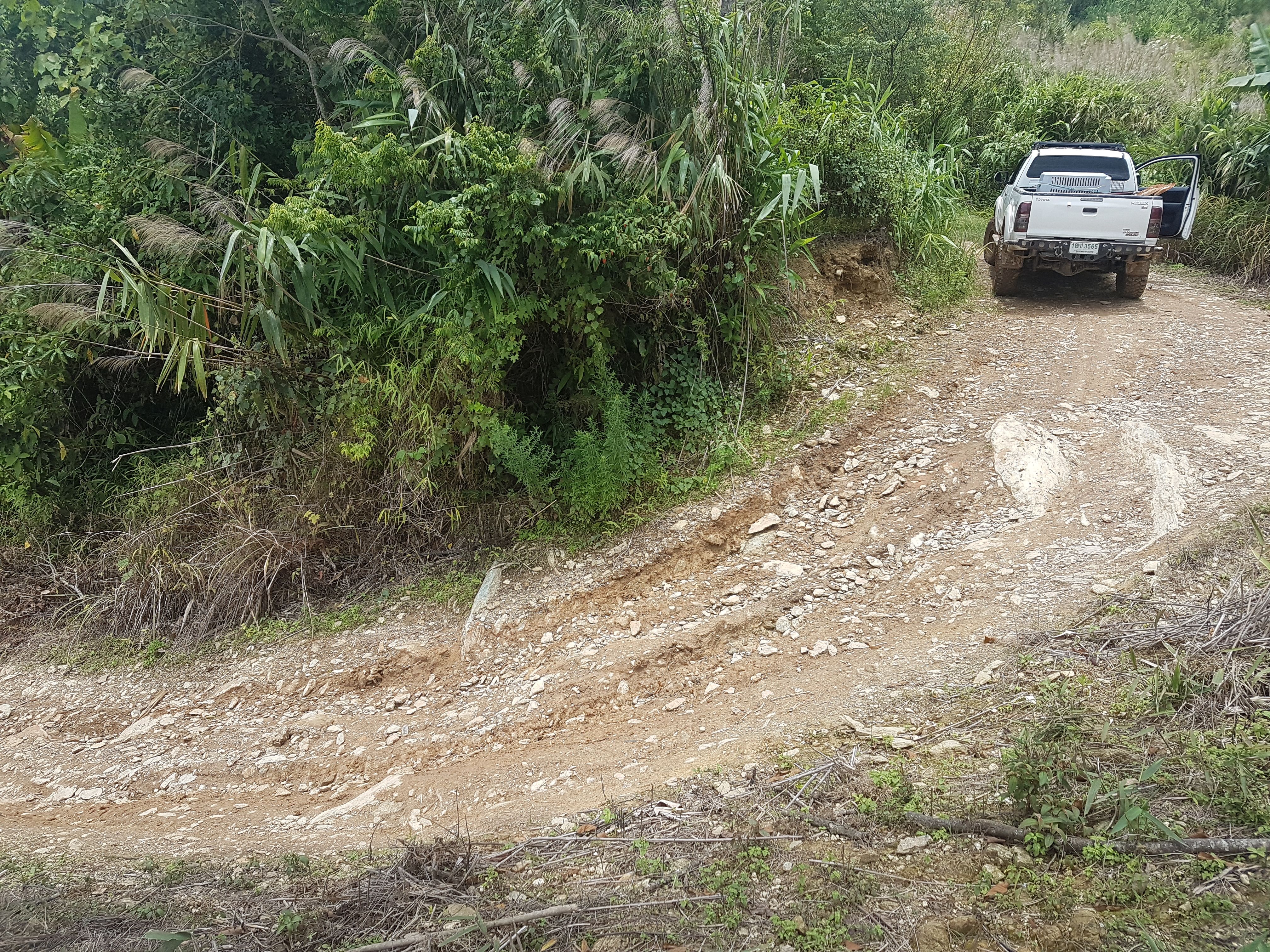
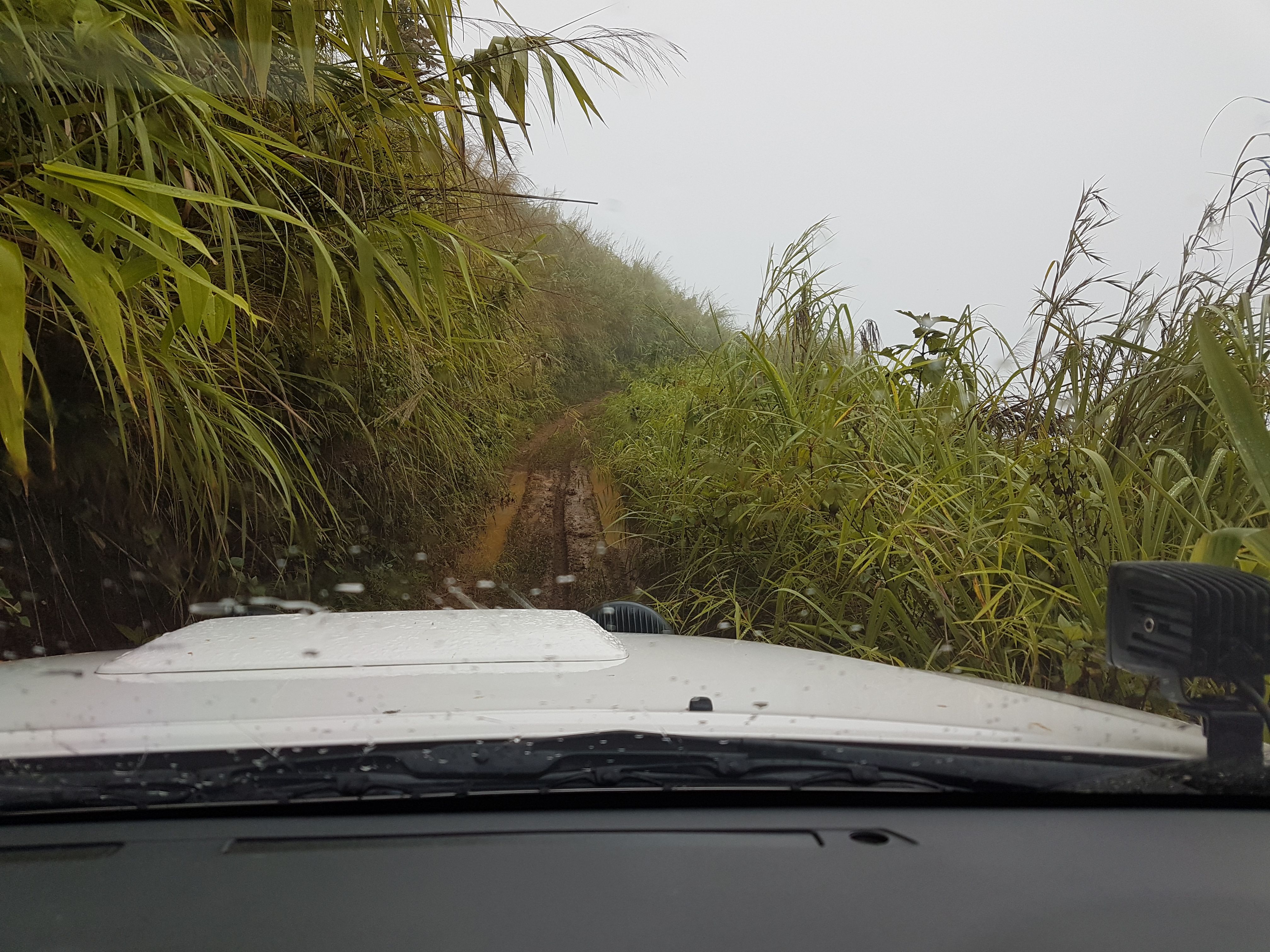
At around the 2km mark, rain started for a good 30 minutes and quickly transformed the tracks. We passed one other tuck that was driving up into the coffee plantations. they had stopped and were hooking up their tyre chains... something I didn't have!
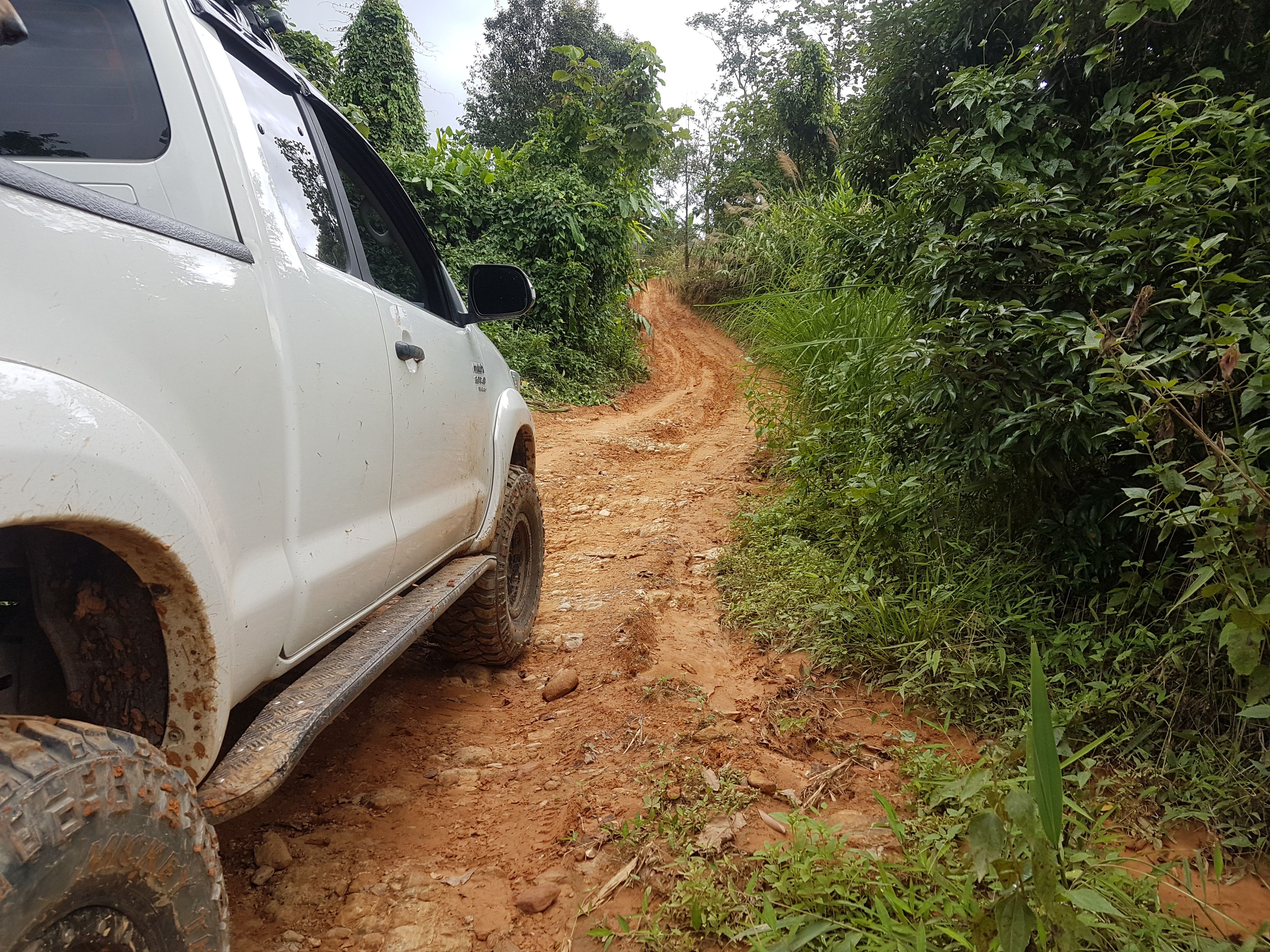
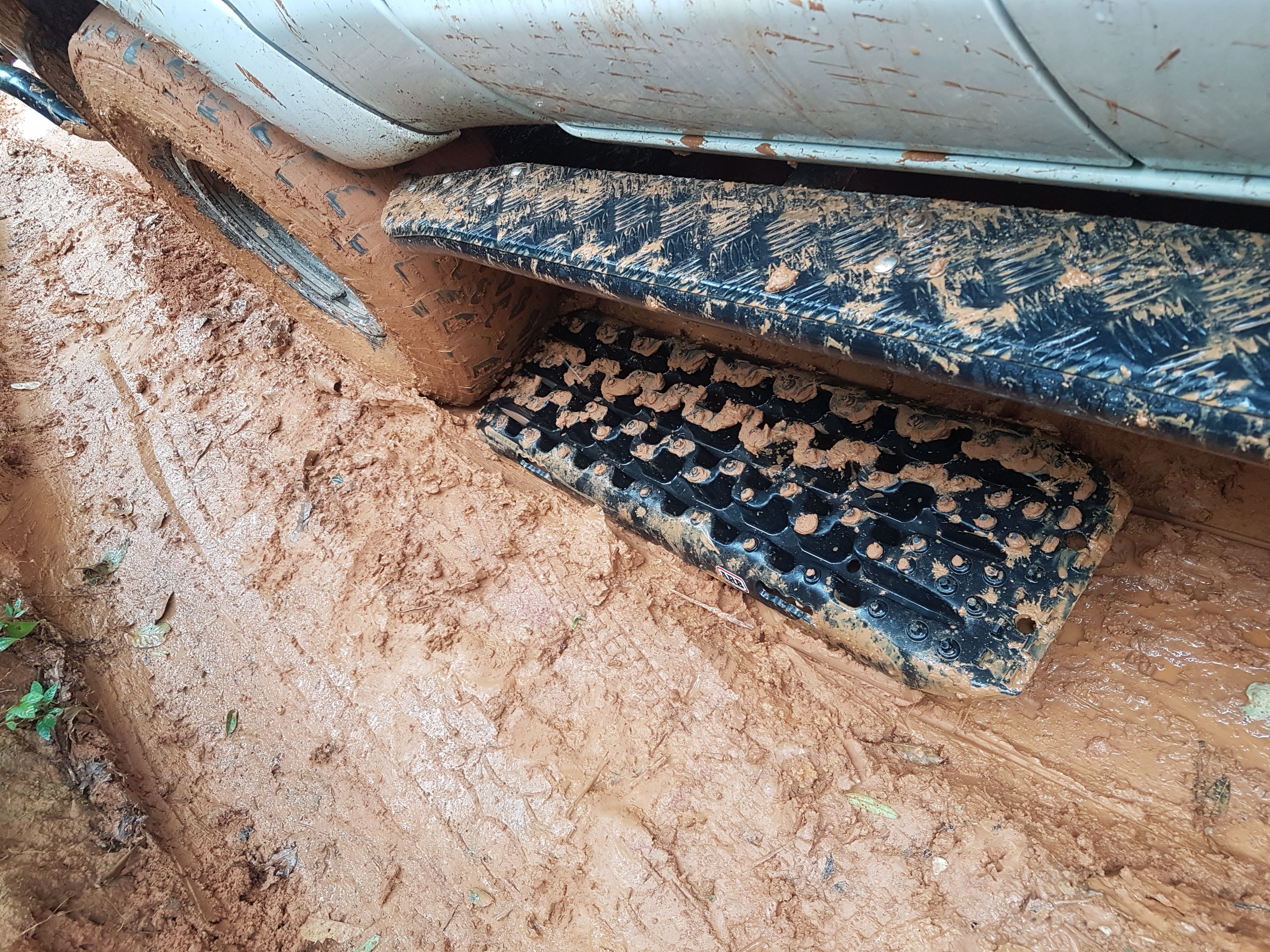
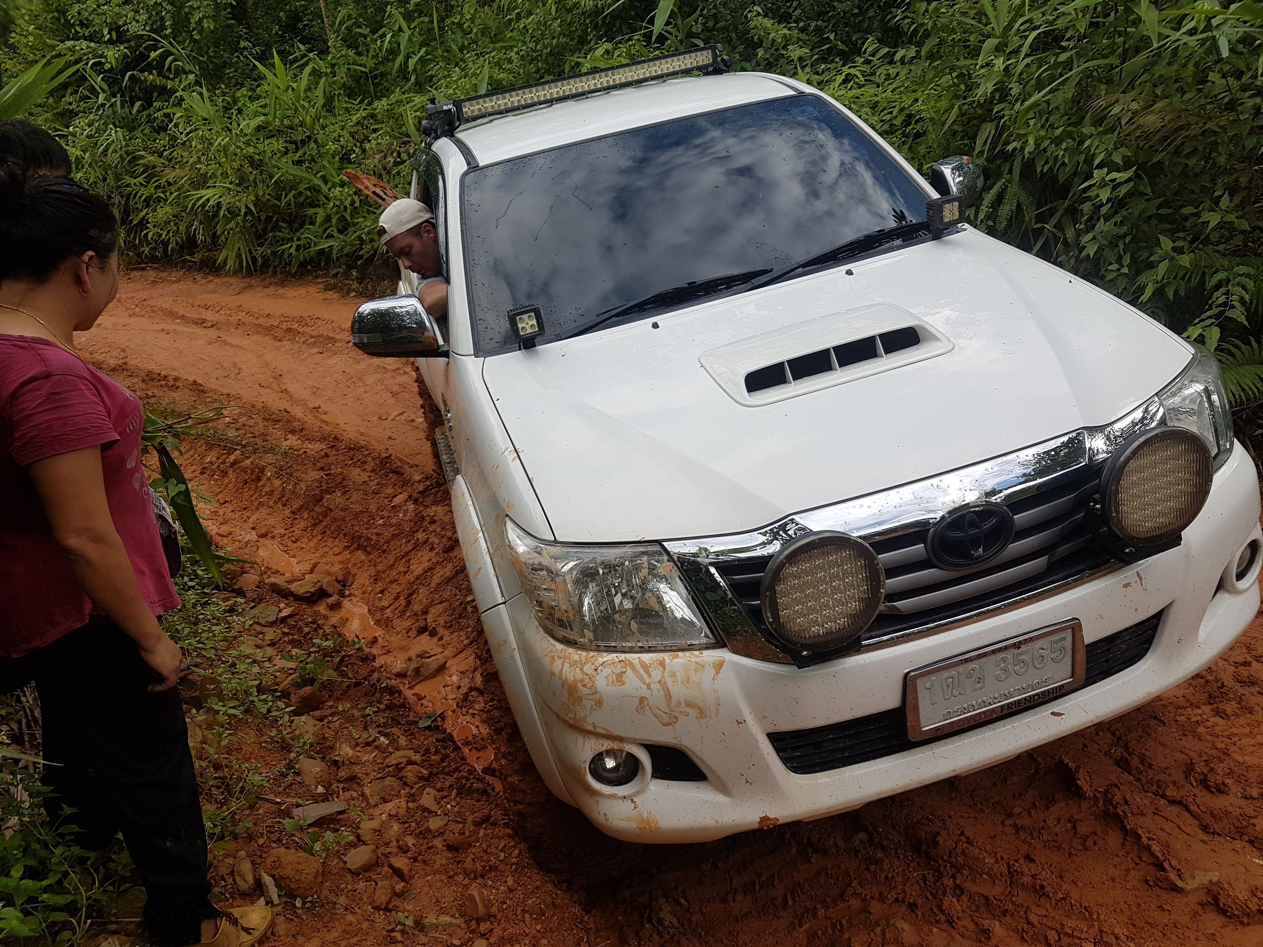
I carried on following the map and started to climb a very boggy track wondering if mud tyres and 4Low would be enough. It wasn't! Attempt #1 was a FAIL.
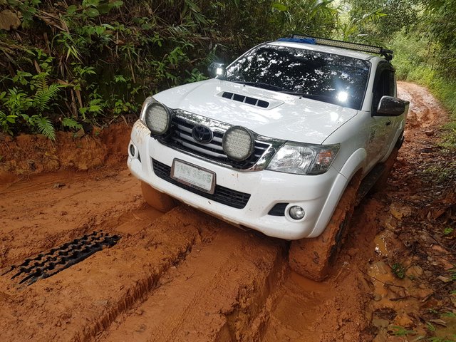
The tread in the tyres quickly became clogged with mud and every wheel spin turned the track slick- there was no grip. Reversing back down and trying to drive up on the side through the leaves and undergrowth proved potentially damaging as the angle of the track would force the car to slip and slide back into the original gullies.

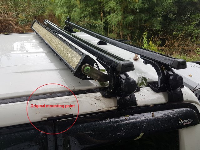
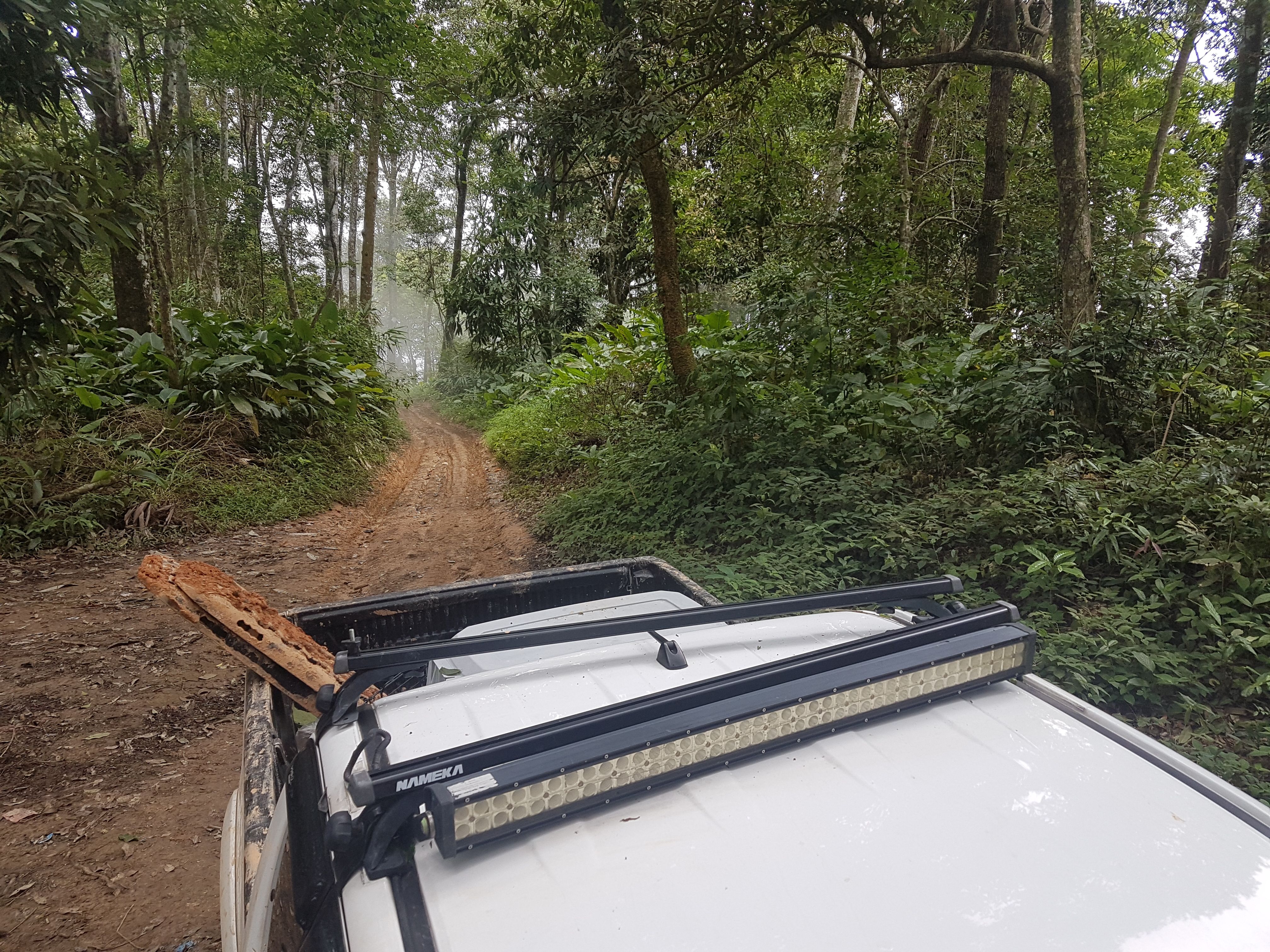
When the track seemed to widen offering grip on the edges, it would either drop away or be blocked by trees. Trying this method already saw my roof rack and light bar take a beating.
When your wheels are starting to slip and spin, your inches from a ditch and on a sharp incline, the only option was to keep going... luckily the roof rack wasn't a permanent fitting and didn't rip out any bolts- realignment and adjusting and it'll be as it was.
No being able to turn around, I had to reverse back round 4 corners until there was a clearing in the forest. Reversing saw the car do it's own thing and drew the attention of some locals returning from a day of farming up on the mountainside.
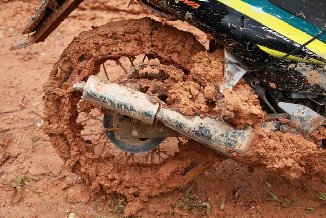
Even the motorbikes the farmers were using had chains wrapped around the tyres. Clearly something they were used to and something I hadn't experienced before.
We turned around and headed back to the village as the light started to fade. Luckily one of the farmers who came to watch the 'eventful' driving told us about a home-stay in the village with a local guide who normally treks up with visitors.
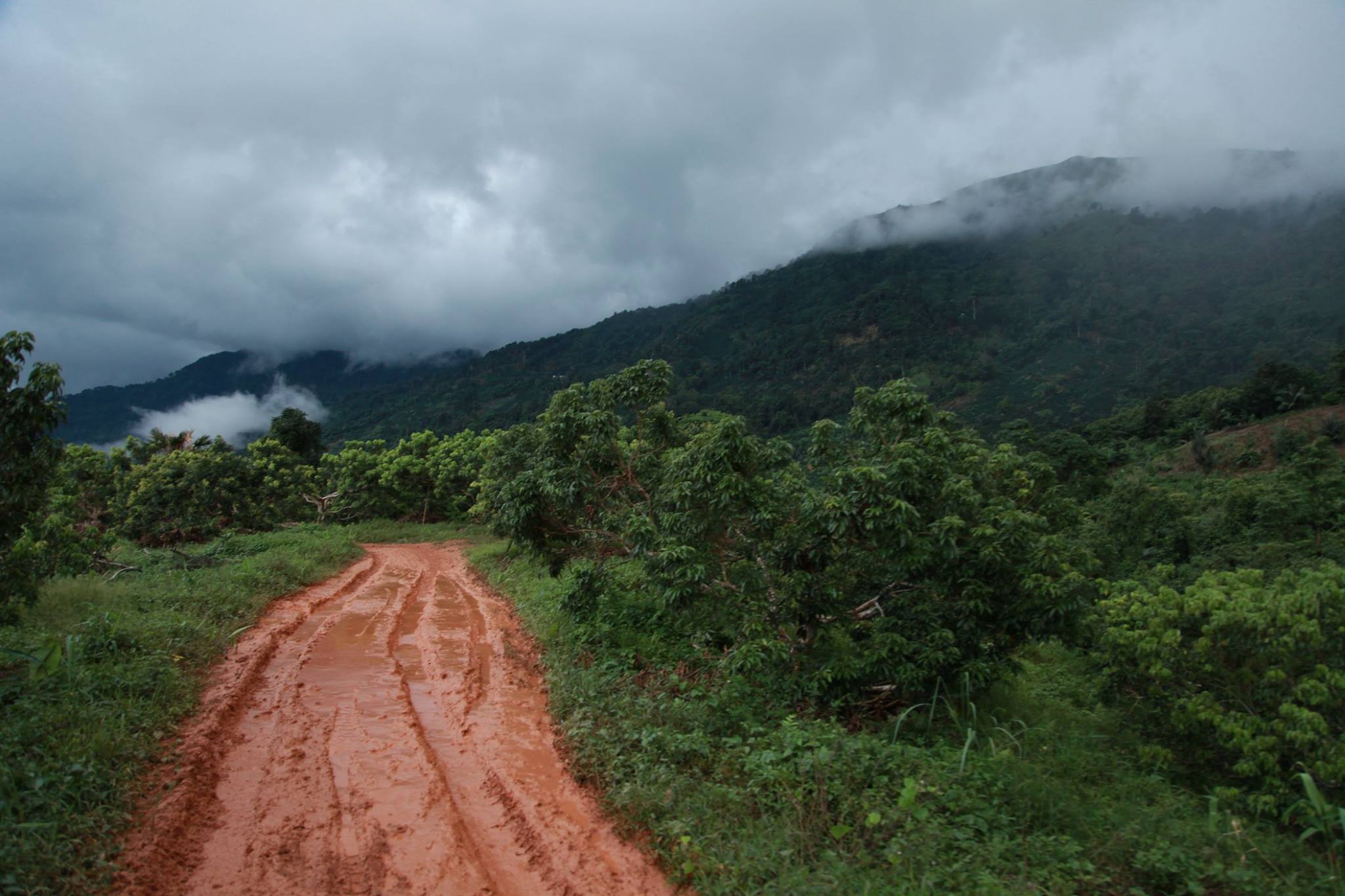
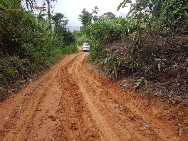
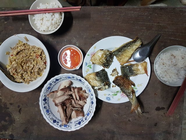
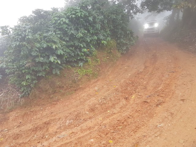
The next morning after a dry night and hot breakfast of, we attempted it again. The corner at the 2km mark was met with more momentum and became passable. My tyres also hadn't become clogged up and were doing what they were advertised to do- expel and flick out rocks and mud.

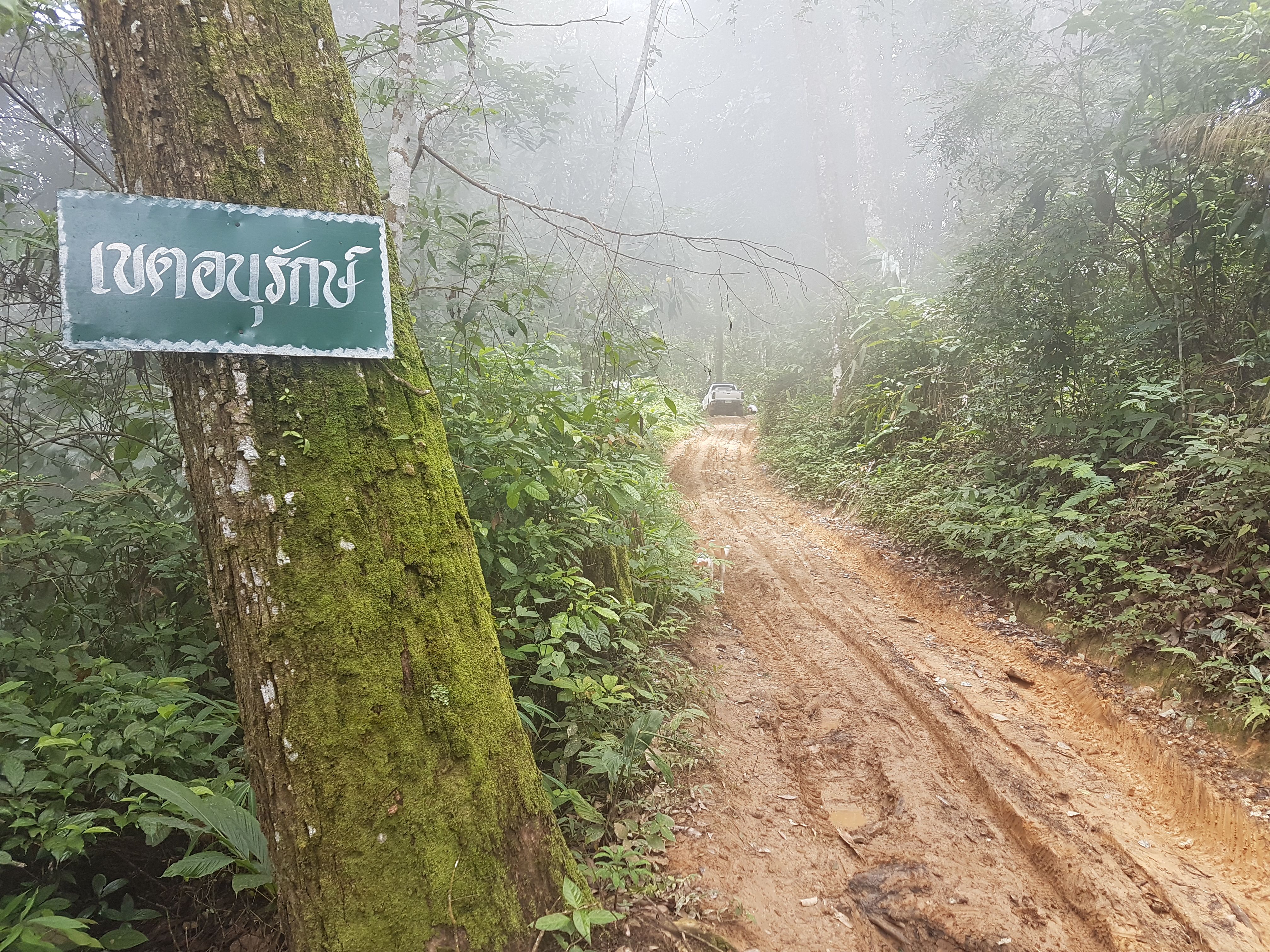
We had finally completed the main climb. the track started to level off through the forest and we passed signs stating we were in a protected area- no hunting, no cutting, no collecting of anything.
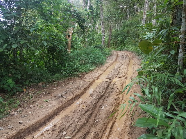
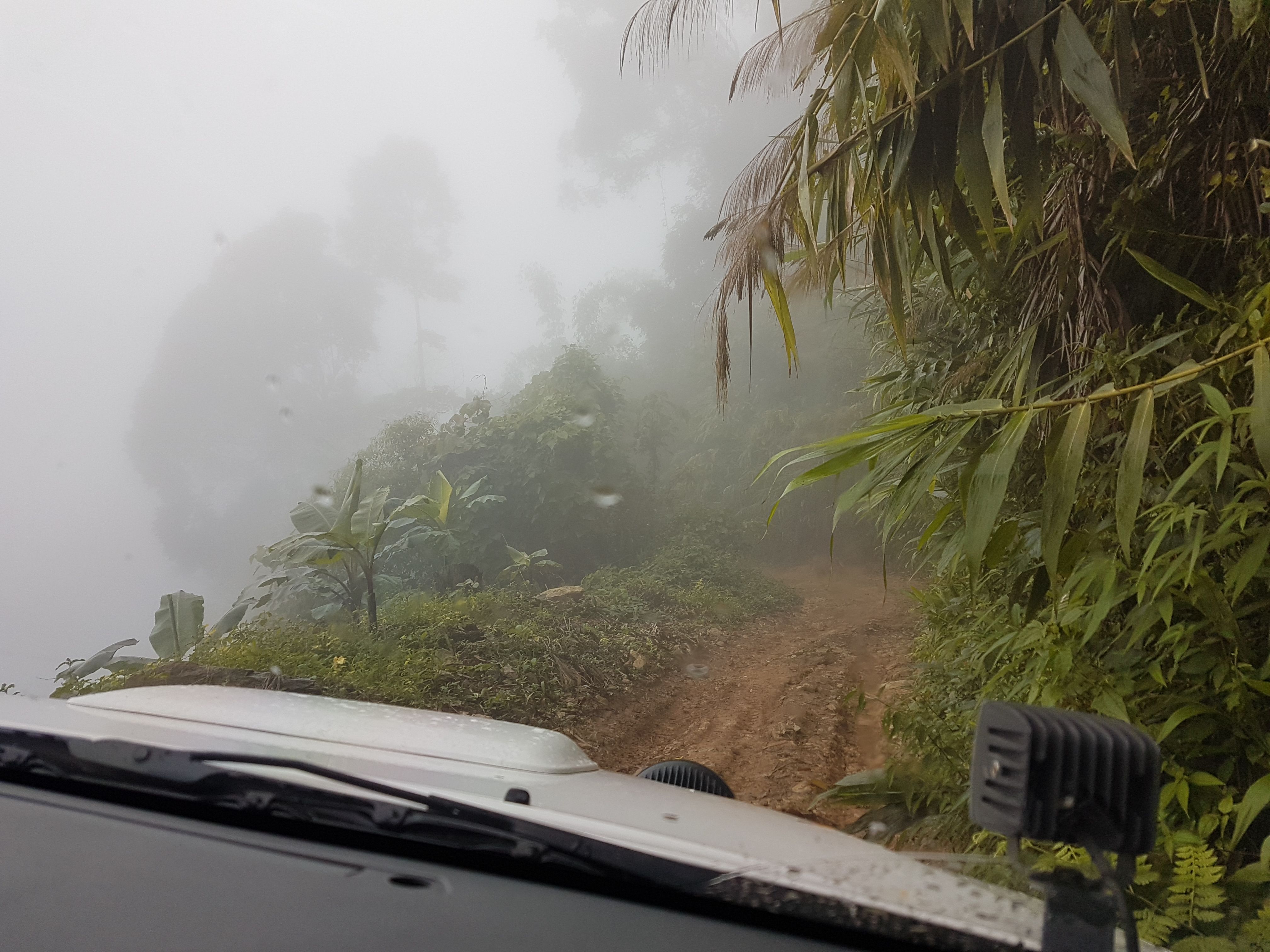
Bogs through the forest were not a problem. The mud was mixed with stones, grit and forest vegetation and although deep and sloppy in parts, still offered grip.
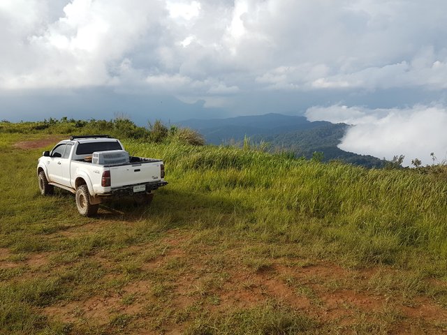
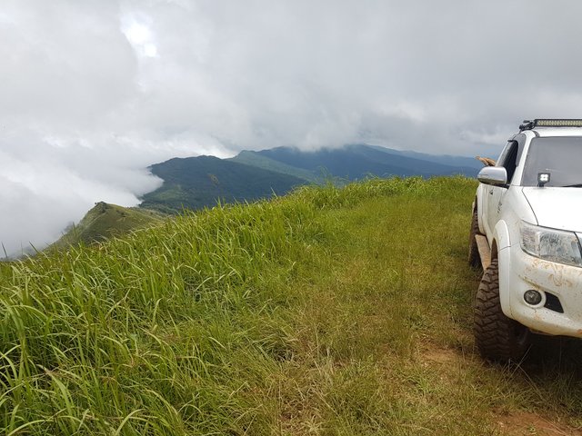
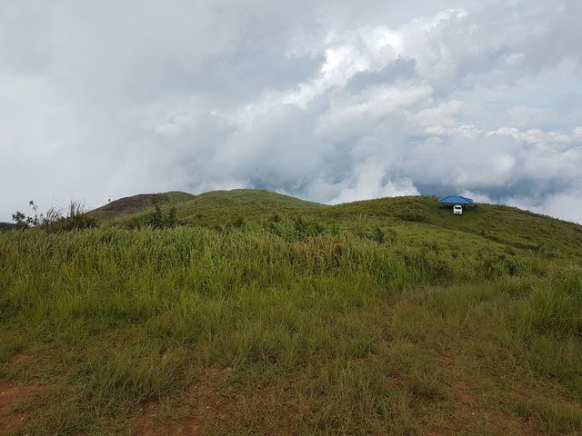
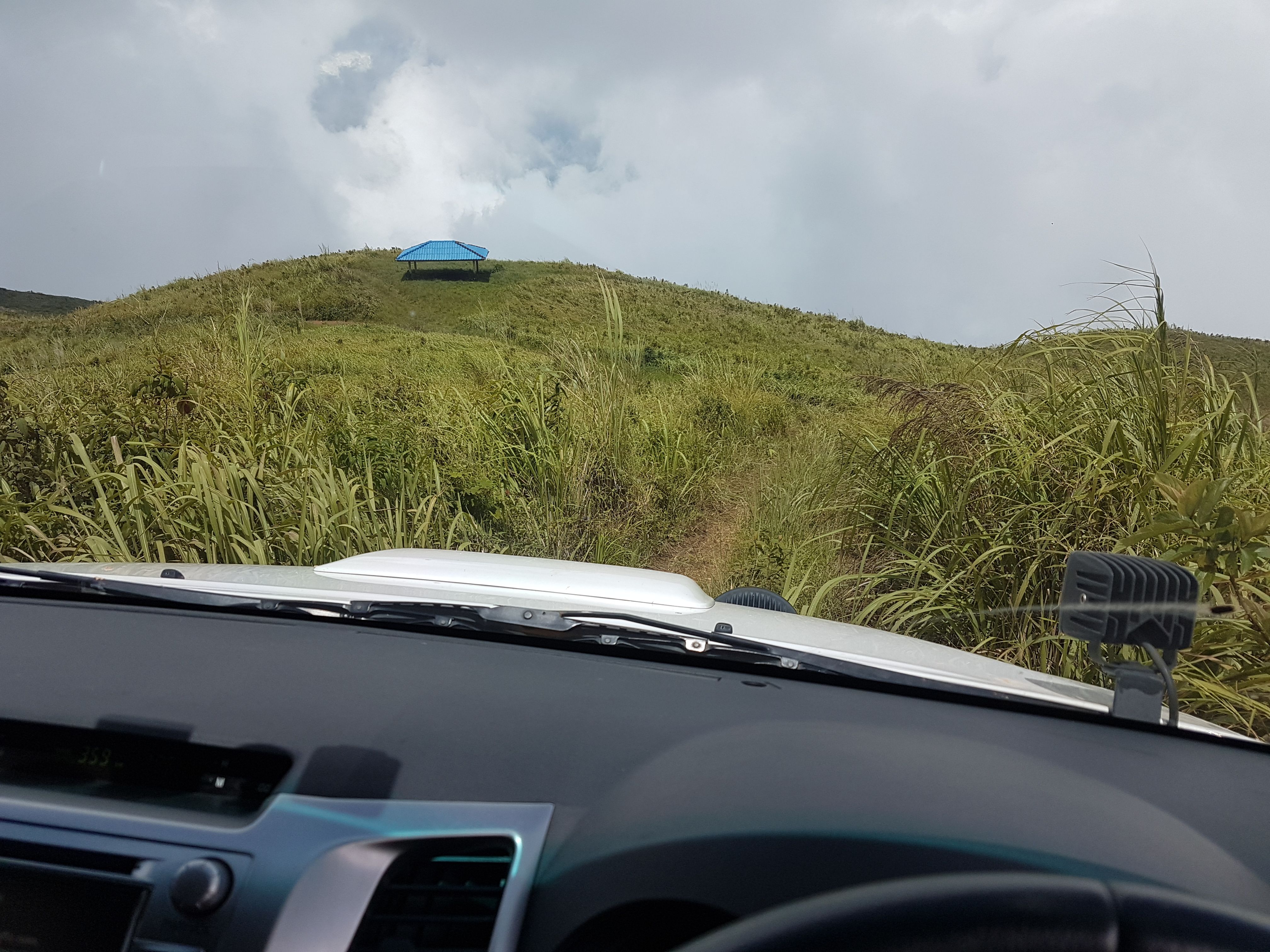
We finally broke out of the forest and started the last ascent through the grassy top. Dry tracks and fog led us to the main view points albeit with a limited view, but still spectacular.
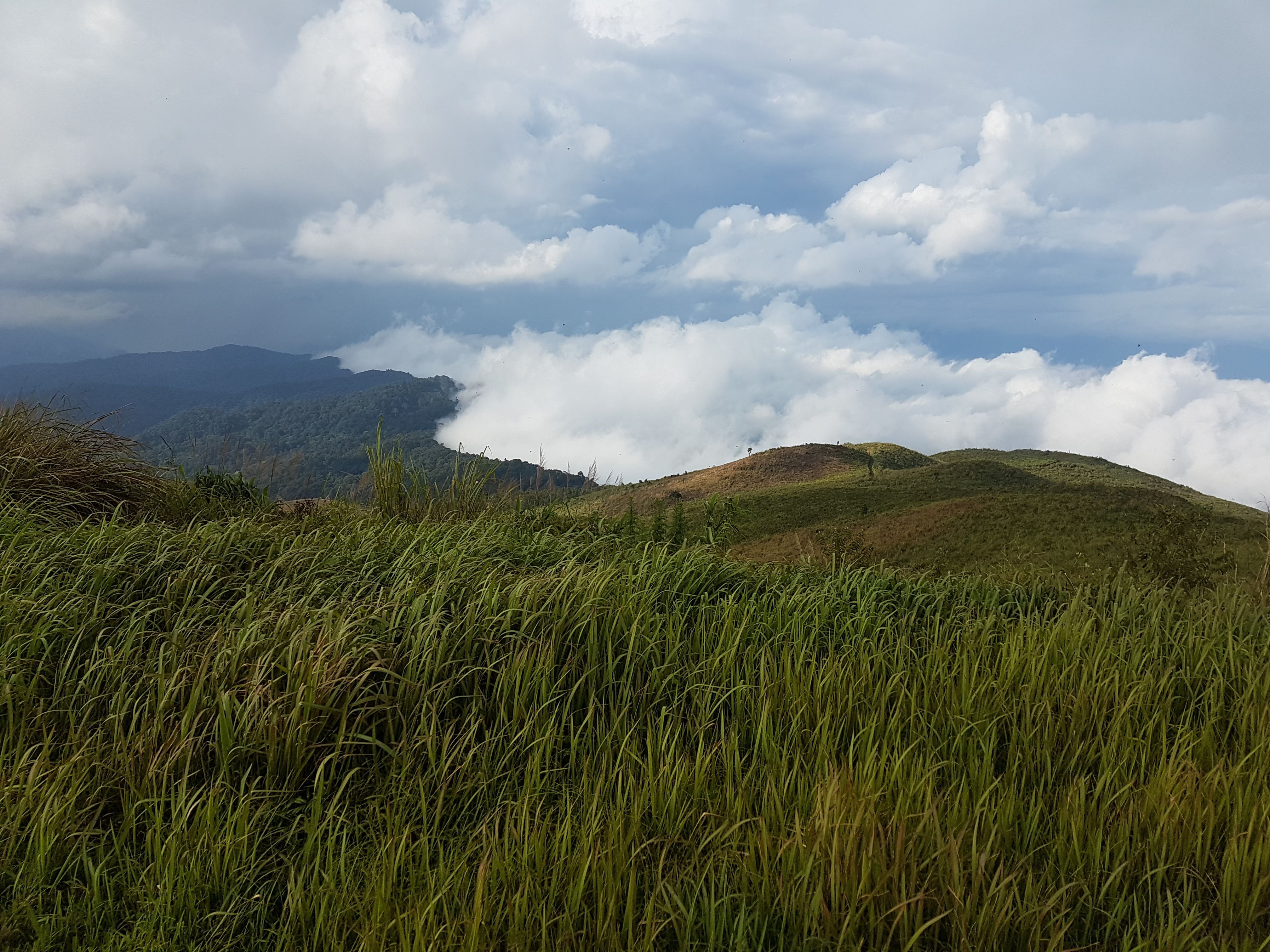
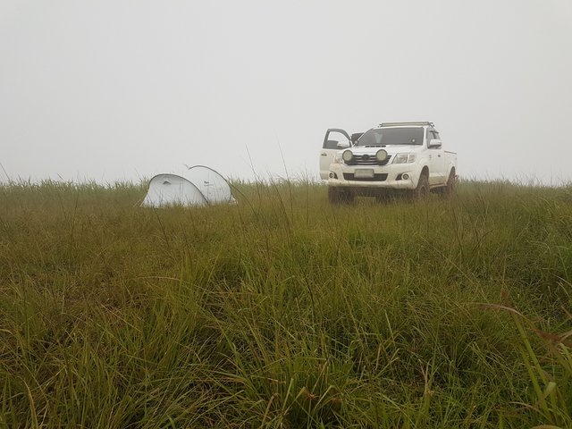
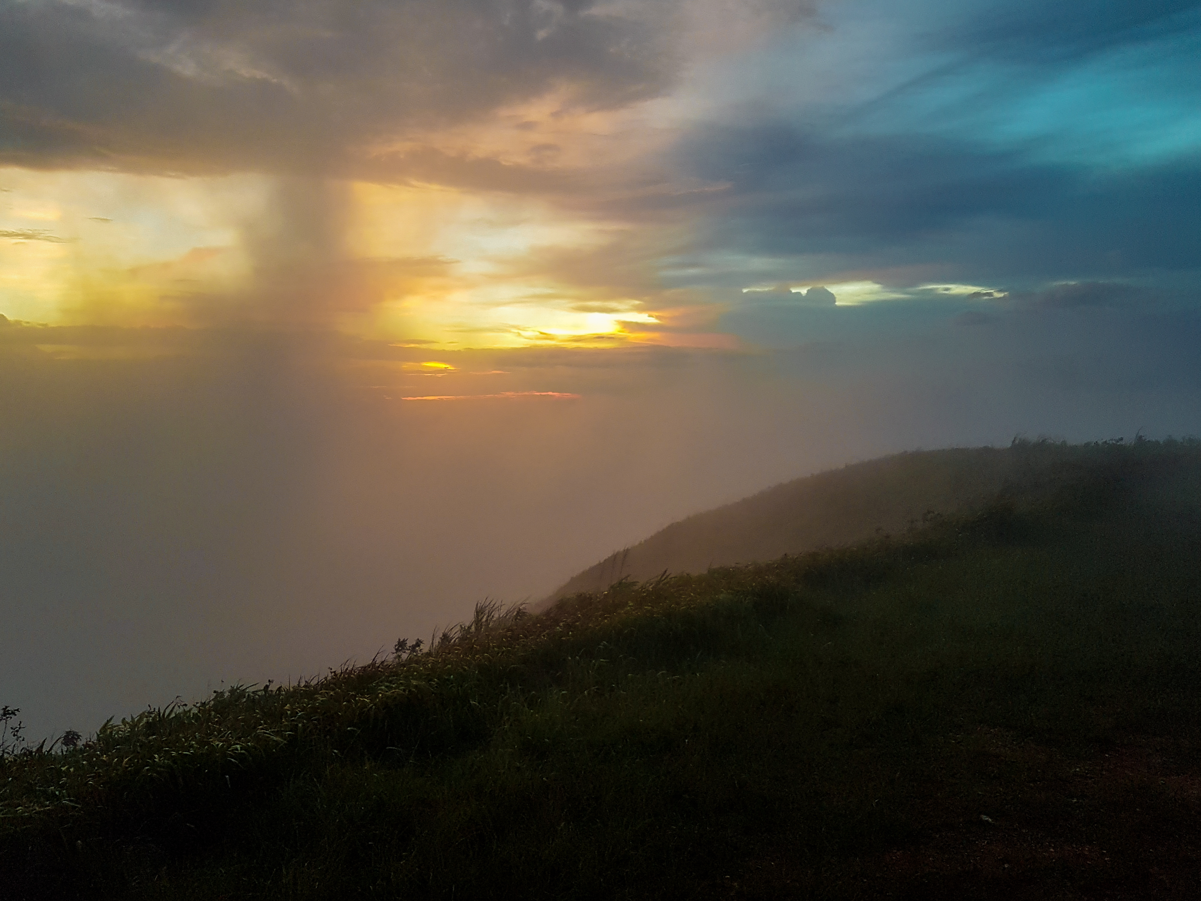
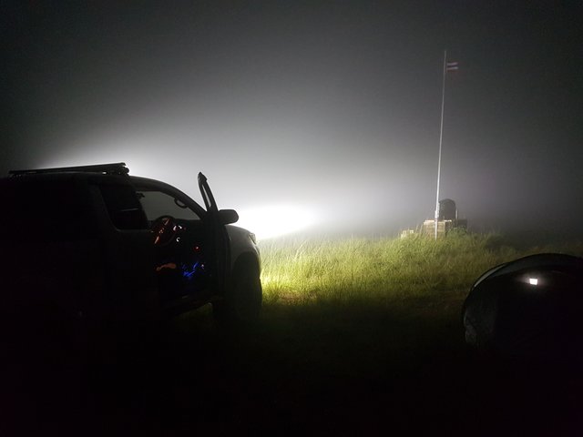
We cooked and set up camp for the night. We had a great day watching the clouds continuously roll over the mountainsides but around 6pm as the temperature dropped and sun started to go down we were covered in a thick blanket of fog. We did get a few moment of sunset before more fog blew over.
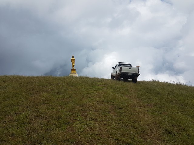
We camped right on the top next to the flag pole. A sign also marked the border dividing 2 provinces- Nan and Phayao.
Expecting to wake up and see a carpet of fog in the valleys below, we saw nothing. Rain started and the wind picked up. I already knew what happens to the track when it rains and with limited internet at the peak, the forecast said rain until the evening! We packed up and made our way down.
Slow and steady we made it back to the concrete road. For some drone photo of the mountains and view from the top please check out my other post here...
https://steemit.com/travel/@thinkit/the-old-opium-mountain-thailand-dji-drone-photos
Please don't forget to follow and upvote for more posts like this.
Toyota is best ride in off-road. You can participate in Dakar
I think the build quality is a little different from mine to Dakar ready haha
Great post,Excellent photography ! thanks for sharing :)
Glad you liked it. Will check out your posts too.
Liked the show very much! I did Siam a lot of years ago with a Suzuky 4x4. I just love that country, people, food and muddy roads. I'm a bit jealous...
Visit jeep.aholic.ch and landcruise.aholic.ch