Backpacking trip to Jeju Island(Korean Hawaii) Part 1
If you have traveled to Korea or planning a trip, you might know about Jeju Island.
For a brief description of Jeju Island...
First of all, Jeju Island is the largest island in Korea. The area of Jeju Island is larger than that of Guam and is similar to the island of Oahu in Hawaii.
Second of all, Jeju Island is a volcanic island almost composed with basalt like Hawaii.
Third of all, in Jeju Island, there is Mount Halla, the highest mountain in South Korea and the height is 1950m. On the top of Mt. Halla, there is a crater lake called Baekrokdam, which is famous for its beautiful scenery regardless of the season.
And from now on, I'll tell you about my story.
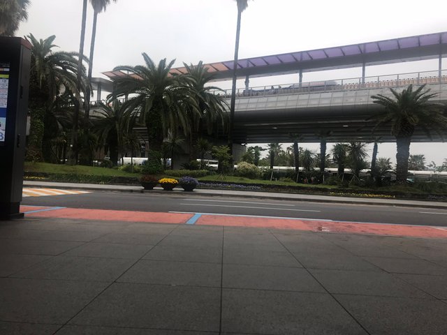
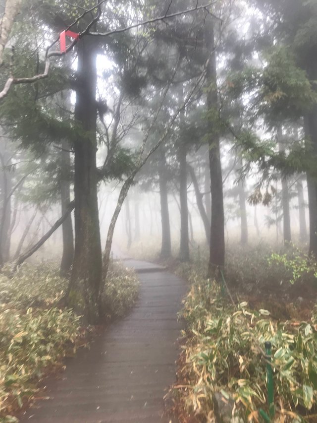
As soon as we arrived at Jeju Island, I headed for the Halla arboretum.
I did not have to worry about the means of transportation because I can go to almost every tourist spot in Jeju island by bus at Jeju International Airport. And the fare of the bus was cheaper than other cities in Korea.
I took the 466 bus from Jeju Airport to go to Halla Arboretum. It took about an hour.
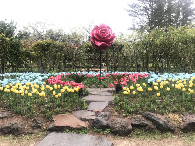
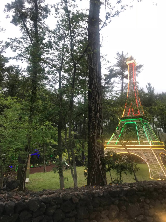
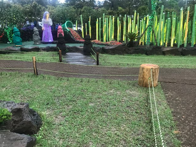
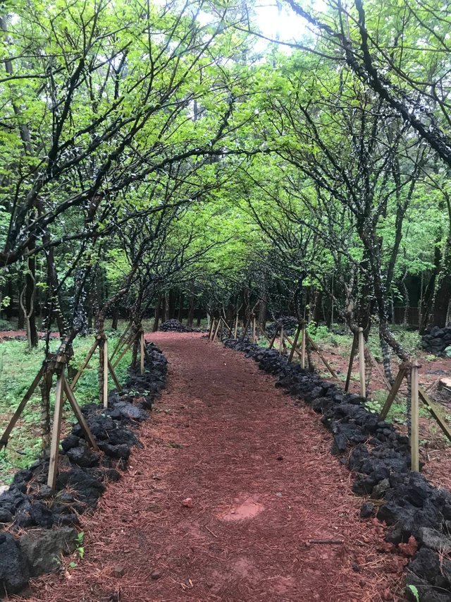
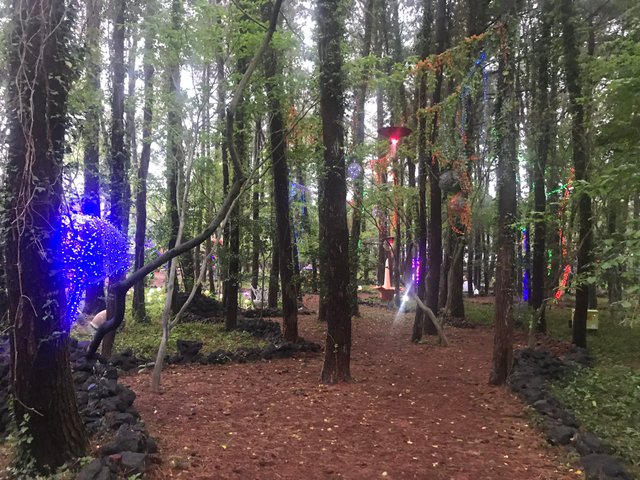
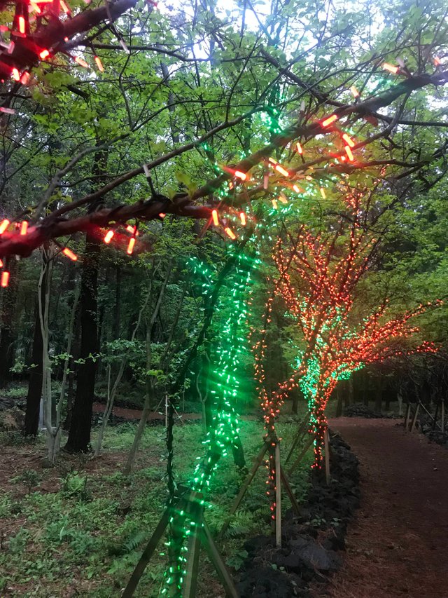
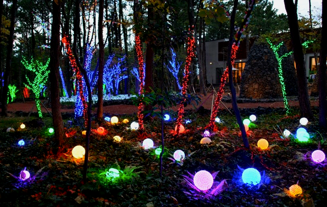
There were many things to see and the scenery was beautiful, but it was not perfect because it was raining. I also recommend coming at night for a perfect picture. Plus, entrance fee was free so, It is suitable for a walk after dinner.
After leaving the arboretum, there was a little time left, but because the rain was too much, I returned to my hotel.
My second day, I woke up at 7 to climb Mt. Halla. It was raining but i couldn't give up. But unfortunately, I got on the bus in the opposite direction so, I arrived about 1 hour and 30 minutes later than the estimated arrival time.
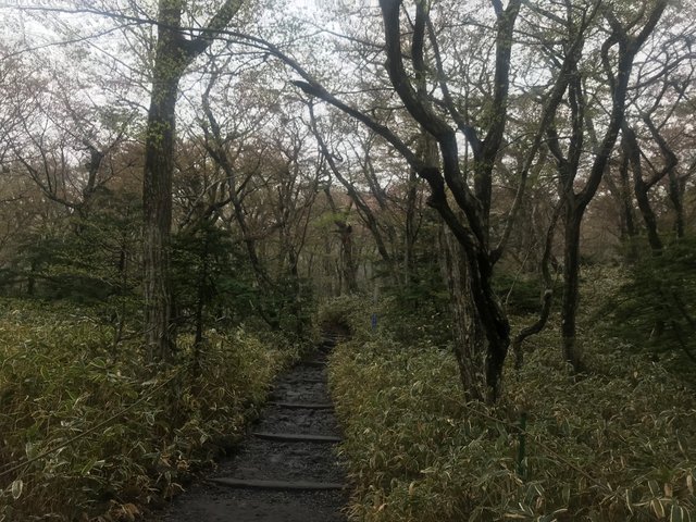
(I started climbing from Seonggak Plate Course)
It takes about 4 and a half hours to reach the summit. And for the summit, I should reach the Shelter, which is previous point of summit. It is s because they restricts access for reasons of stability.
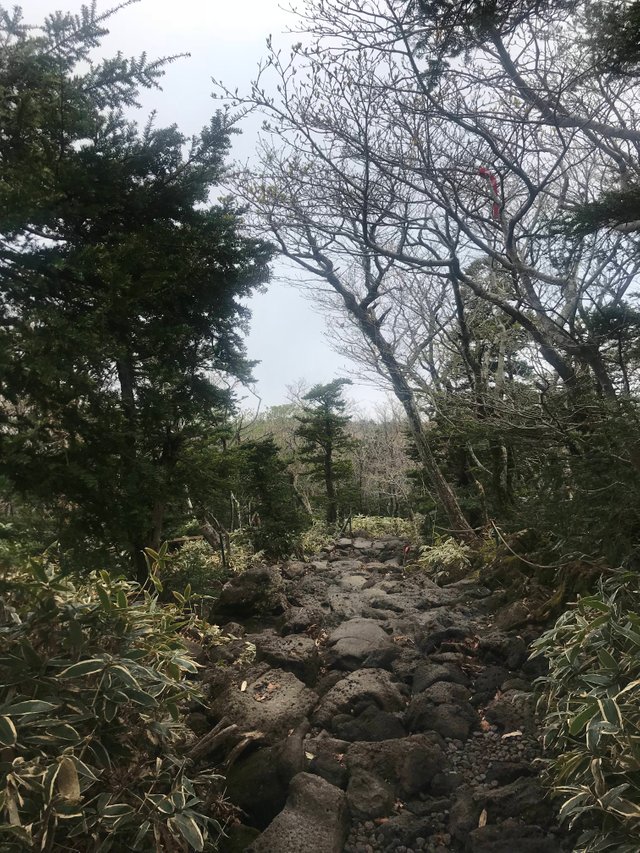
Altough the ground was very raugh but for Baekrokdam, i ran as fast as i can. The reason of rough ground is because it is composing with basalt, but i finally reached the Shelter, 5minutes before restrict.
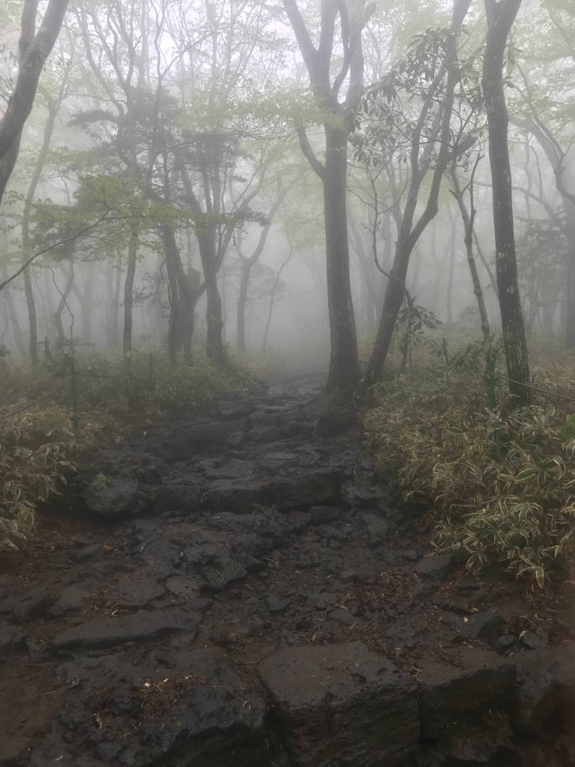
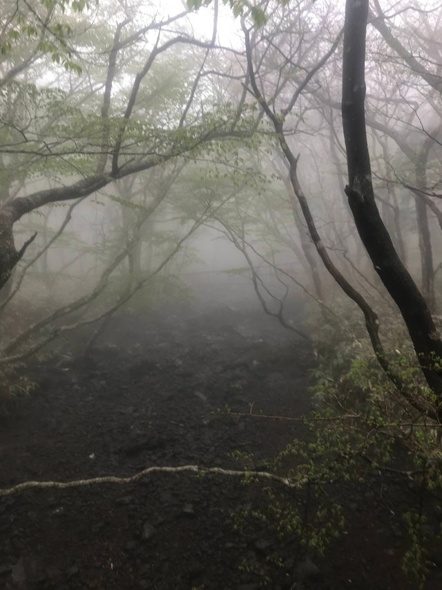
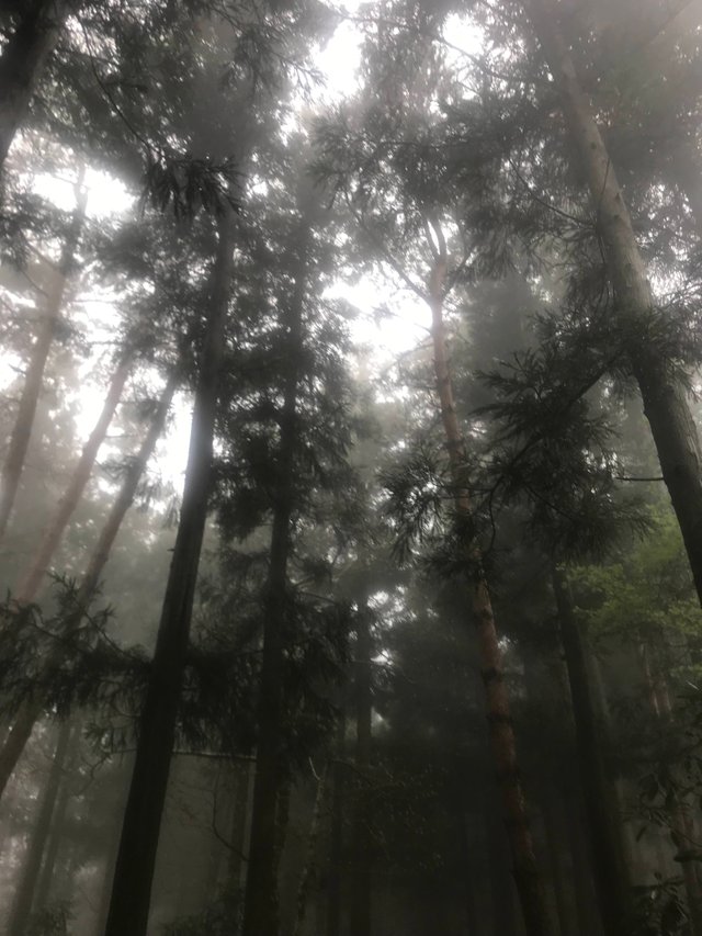
At the beginning of the mountain climbing, the field of view was narrow because of fog, but the closer to the summit, the more sunlight came into the forest, and the fog disappeared like a magic.
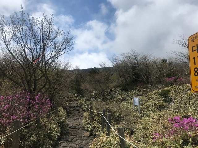
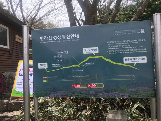
I arrived at the evacuation shelter at 12:25, five minutes before the entrance limit, and a signboard informing the entrance restriction was installed in advance.
I am sorry about Baekrokdam's picture can not be attached because it is not attached......
Nexttime, i am going to post about Seongsan Ilchulbong Tuff Cone .
Thanks for reading and if you liked my post, please follow me @sonsj0513