I Survived Mt.Pulag: 3rd Highest Mountain in the Philippines 🇵🇭
Hello @steemit. I just wanno share to you a motivational story of surviving a hike without even a single knowledge of the basic guidelines in mountaineering activities. This was my first climb which I couldn't even imagine that I survived and conquered the Philippines' Third Highest mountain and the highest peak of the island of Luzon.
This was last December when I motivated to try for a different kind of adventure, and that is to hike. What impelled me to do such extrenuous activity is ofcourse by the influence of the person closest to me, my boyfriend who actually the one who loves to hike.
MOUNT PULAG 🏔
Where it is located?
Geographically speaking, Mt. Pulag National Park is located in the Municipality of Kabayan, Benguet. It is the highest peak in Luzon and is the third highest mountain in the Philippines at 2,926 MASL. Moreover, it is located in the borders between the provinces of Benguet, Ifugao and Nueva Viscaya.
How to get there?
Going there is very tough and causes time hassle. It takes a long land ride to reach this amazing place yet very commendable. From Manila to Baguio takes almost 5 hours of traveling. Then another 3 hours going to the DENR for registration. And takes also for morethan an hour and a half to the Ranger Station where you will stay for an overnight. And an early trek going to the summit.
- Here is my rundown:
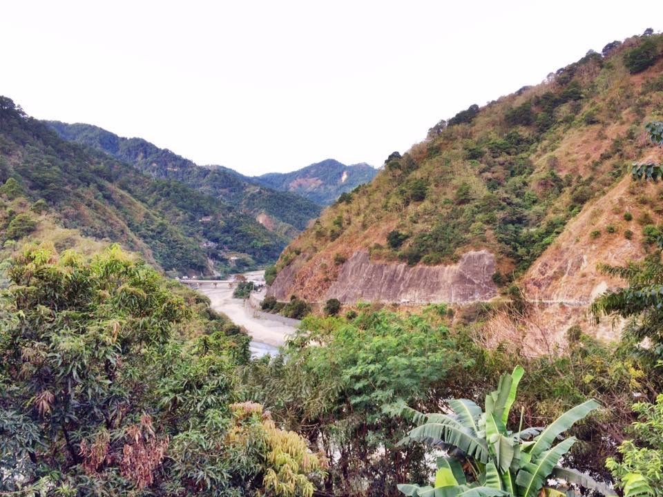
We departed in Manila around 12:00am and we arrived in Baguio City early in the morning around 5:00am. Then we ride a monster jeep going to the town of Bokod, Benguet where the DENR Office is located. Along our way we took pictures of some beautiful views of Benguet.
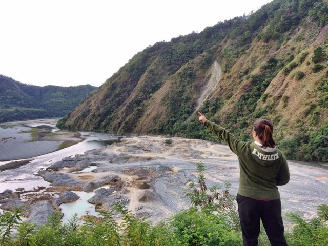
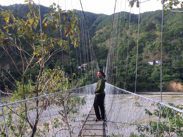
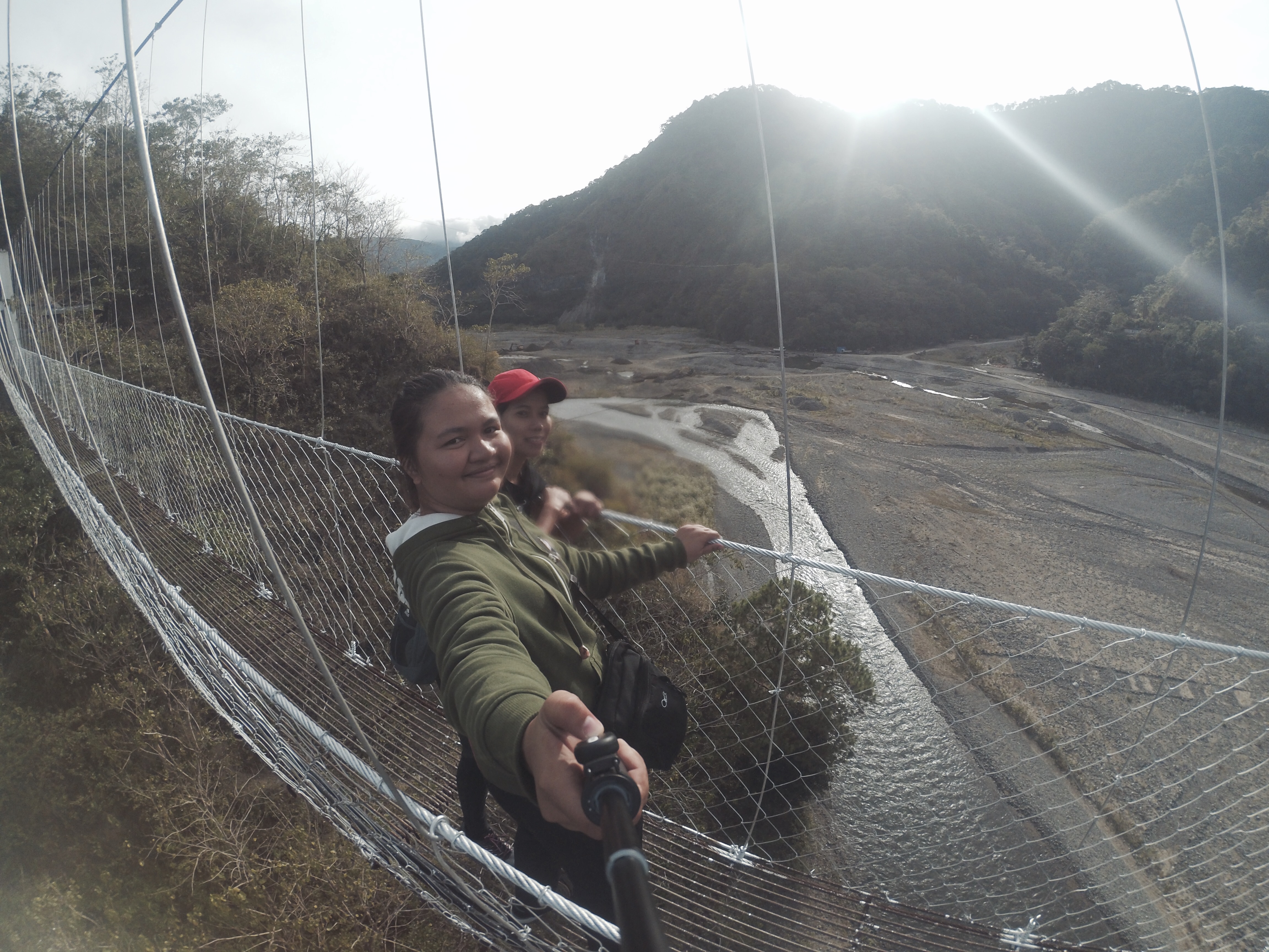
We have a stop over at a particular 'Carenderia' or a small restuarant for our Lunch. And the best feature of this place is the Jang-jangs Hanging Bridge. We crossed the hanging bridge with fear and worry, but still we conquered it. This is a must to try this extreme adventure crossing the said longest hanging bridge.
After an hour, we reached the DENR Office in Bokod,Benguet. Upon our arrival, we submiitted all the requirements including medical certificates, etc.
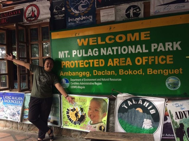
After accomplishing the requirements we were in oblidged to attend the orientation about Mt. Pulag National Park. The Tourism Officer told us about the history of the Park, its Guidelines, the Trails and the does and donts in the vicinity of the National Park.
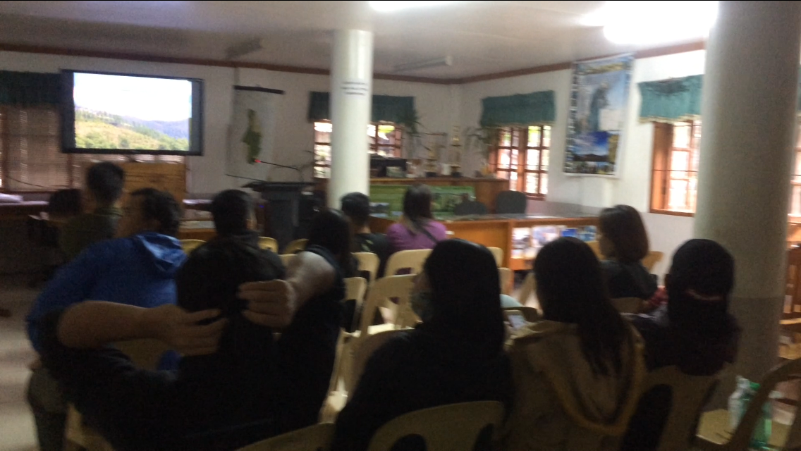
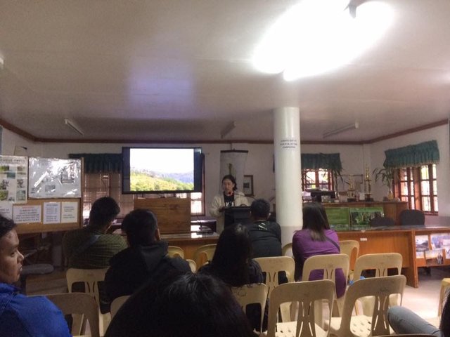
An orientation inside the Hall..
Souvenirs, basic accessories that will be needing during hike like gloves, scarf, winter bonnet, termal blanket, etc are also available inside the office.
This was the souvenirs'corner inside the DENR Office:
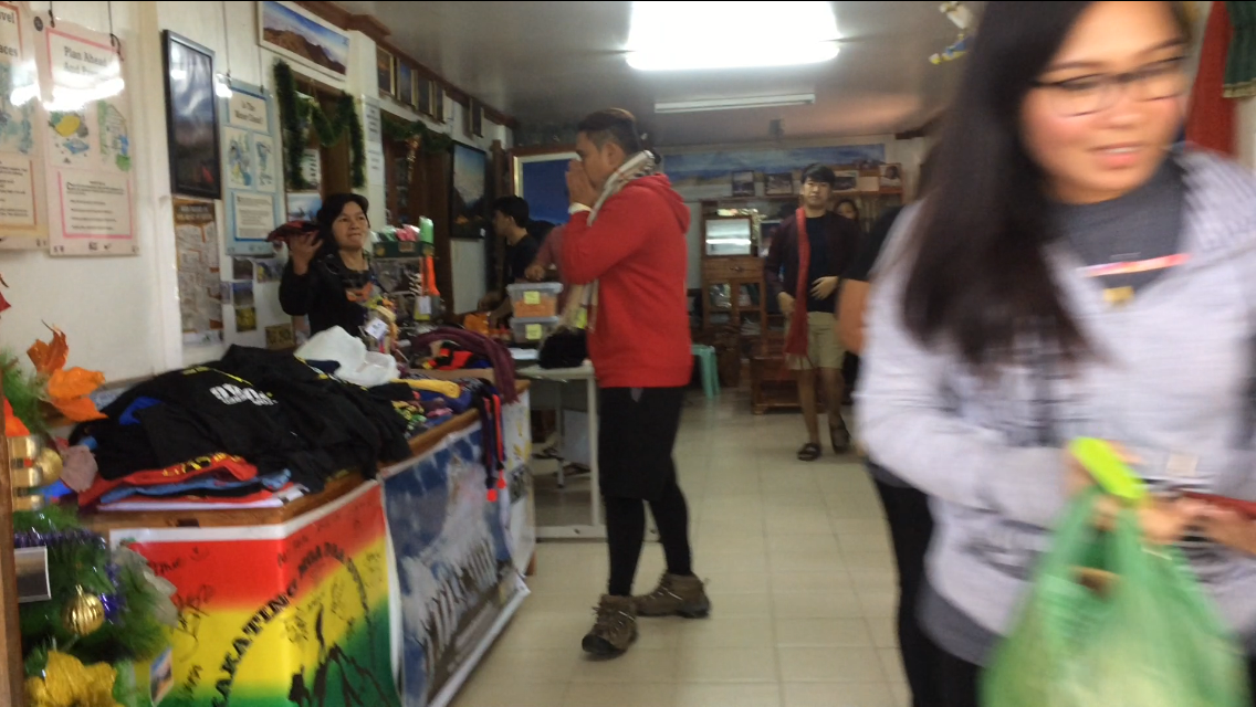
You can also see the pictures of individuals who have already conquered Mt. Pulag. These serves as their remembrance in the DENR Office for their unforgettable experience in the said park. You may also post your picture in the corner if you like.

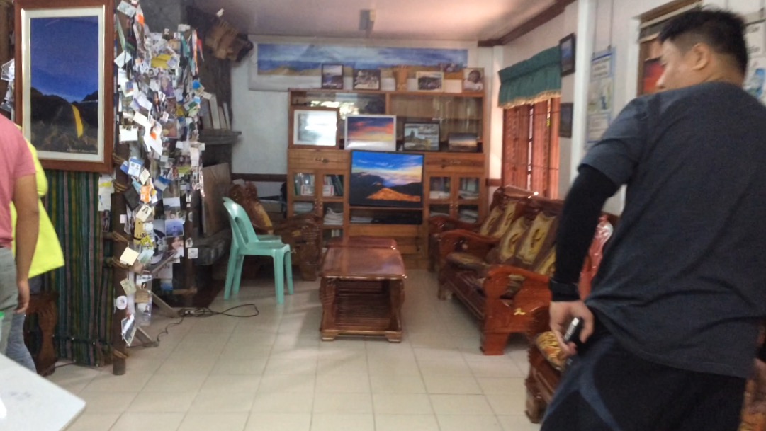
This is the visitor's area of the Office
And Finally, after a one long ruler coaster ride going to the jump off of the park we arrived in the Ranger station around 2:00pm in the afternoon.
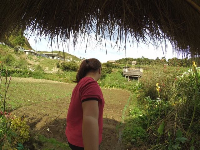
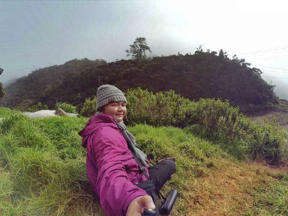
This is the overview of our campsite.
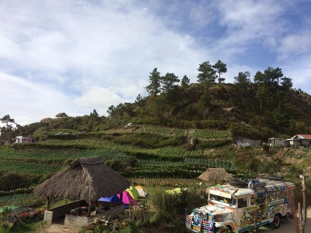
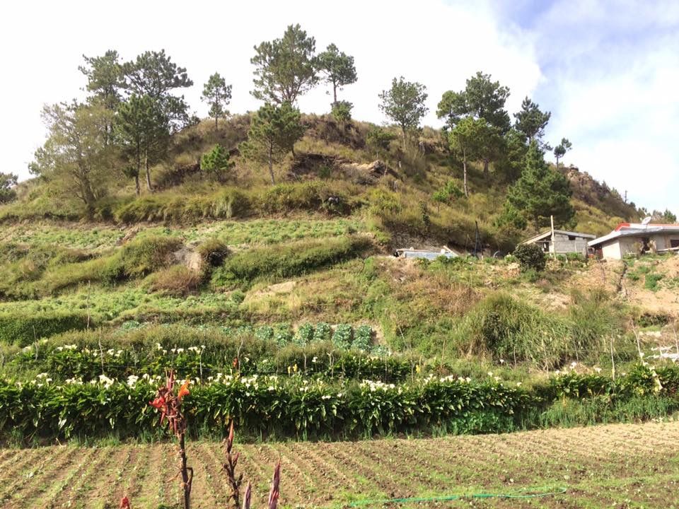
The campsite is being sorrounded with hills designed the same as the famous Hagdan-hagdan Palayan of Ifugao, planted with different veggies. This is the main source of living of the residents in this community. Among the veggies they planted are cabbage, arrots, etc.
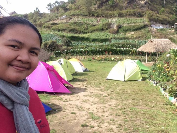
Instead of staying in a homestay we prepared to choose to stay in the camping site with our groupmates for us also to be able to serve the purpose of this outdoor activity, to meet new friends and be acquainted with them by sharing each others travel experiences, so on. So we asked for help to set up a tent we have rented and stay there for an overnight.
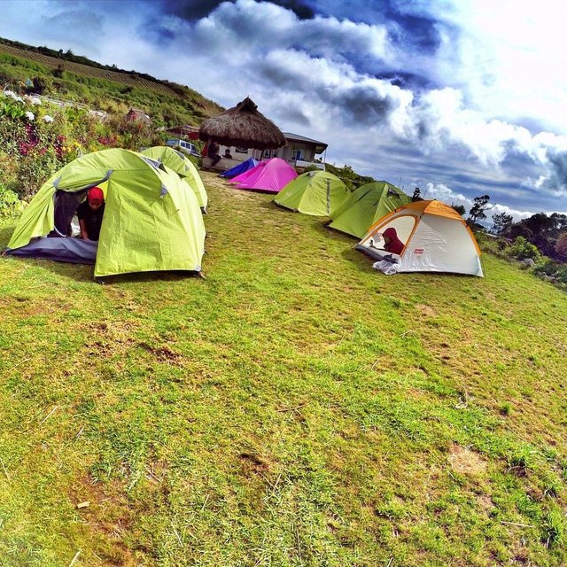
So this was the set up of our tents. The stunning views are still present. At Ranger Station..
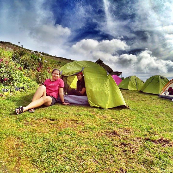
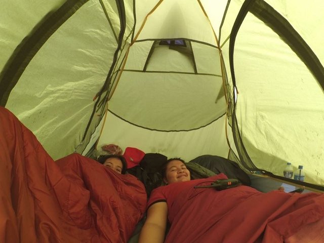
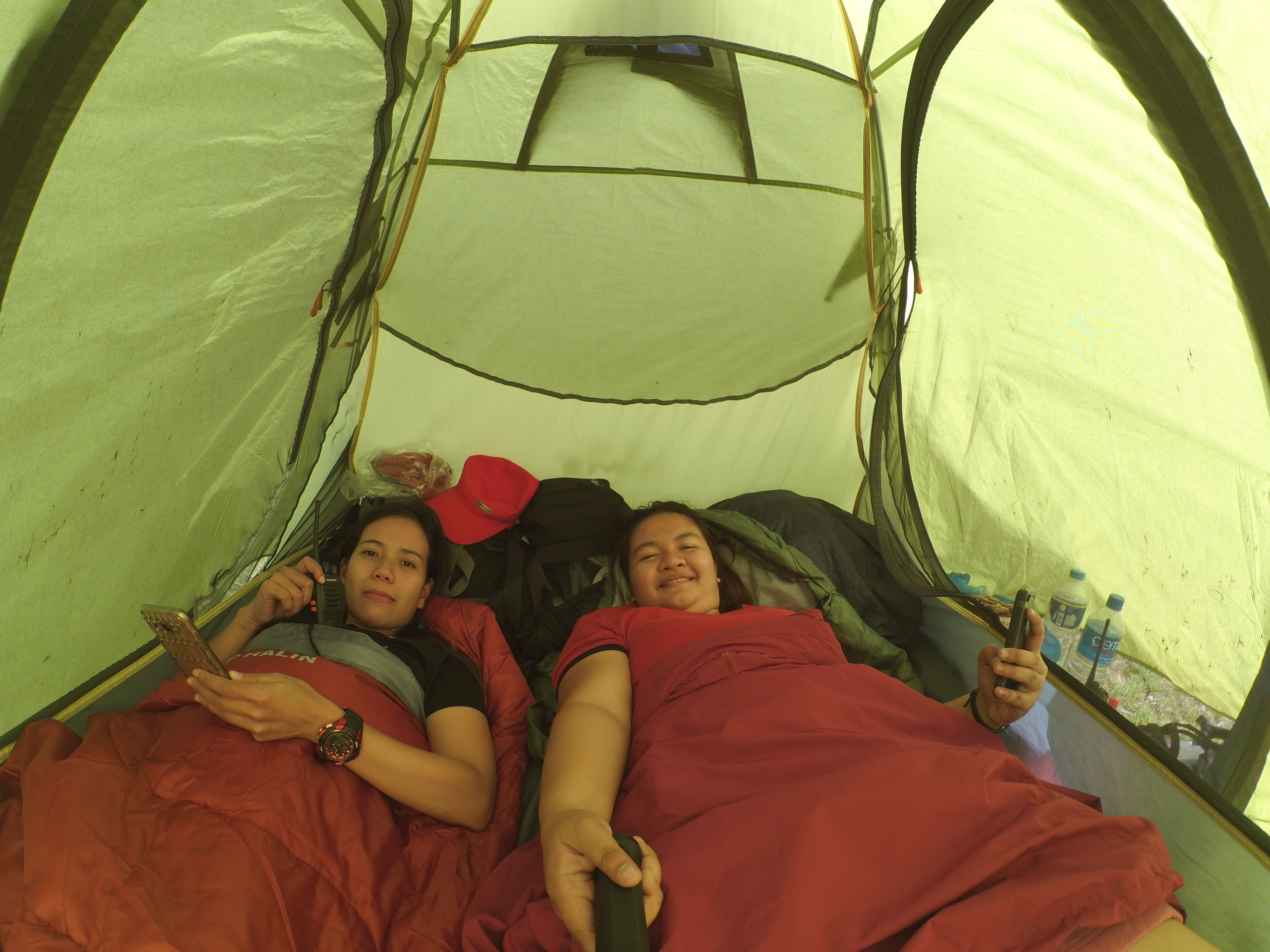
These were our inside situation in the tent. Hahaha. With my Boyfriend's Tita..
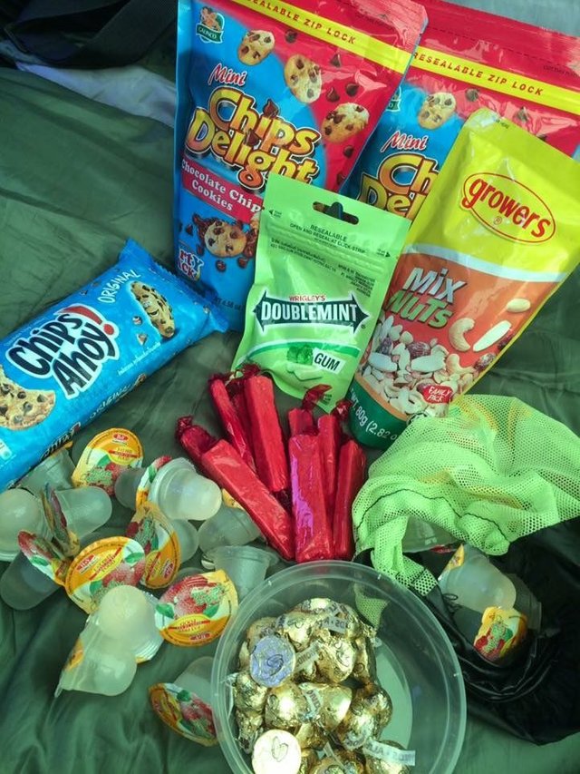
These were our take life during the hike. Hahaa. Chocolates plus jelly equals healthy life. Hahaha. I mean Happy life.
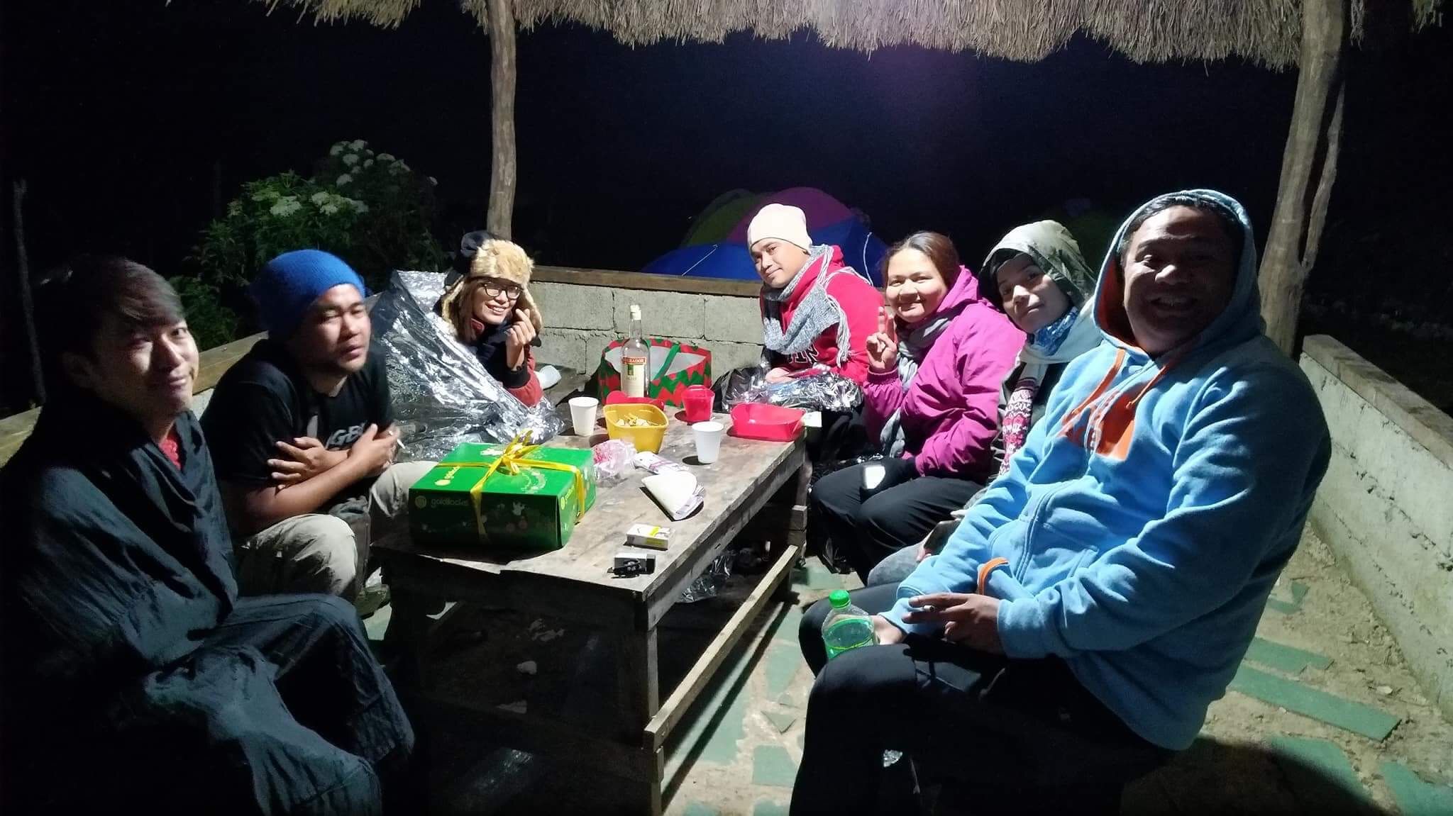
At night, socials, knowing other hikers, camping etc. But one thing that made me nocturnal is the freezing temparature of the place. I can't really sleep. I was then chilling although I am in a winter gear still not enough. So better to provide more thermal clothes to avoid that instance.
Having drink in a cold chilling night..
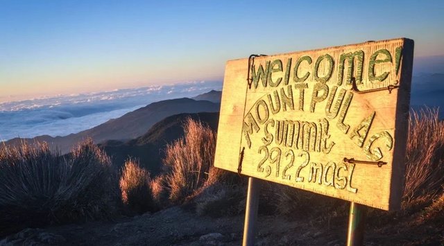
Early in the morning around 1:00am we started the trek going to the Summit. And around 5:30am we reached already the highest peak of Luzon. Its the Mount Pulag and its great Signage..
Since there was no sea of clouds, So here is what we after for. Hahaha. The signage of Mt. Pulag
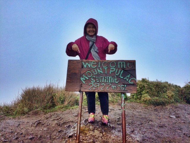
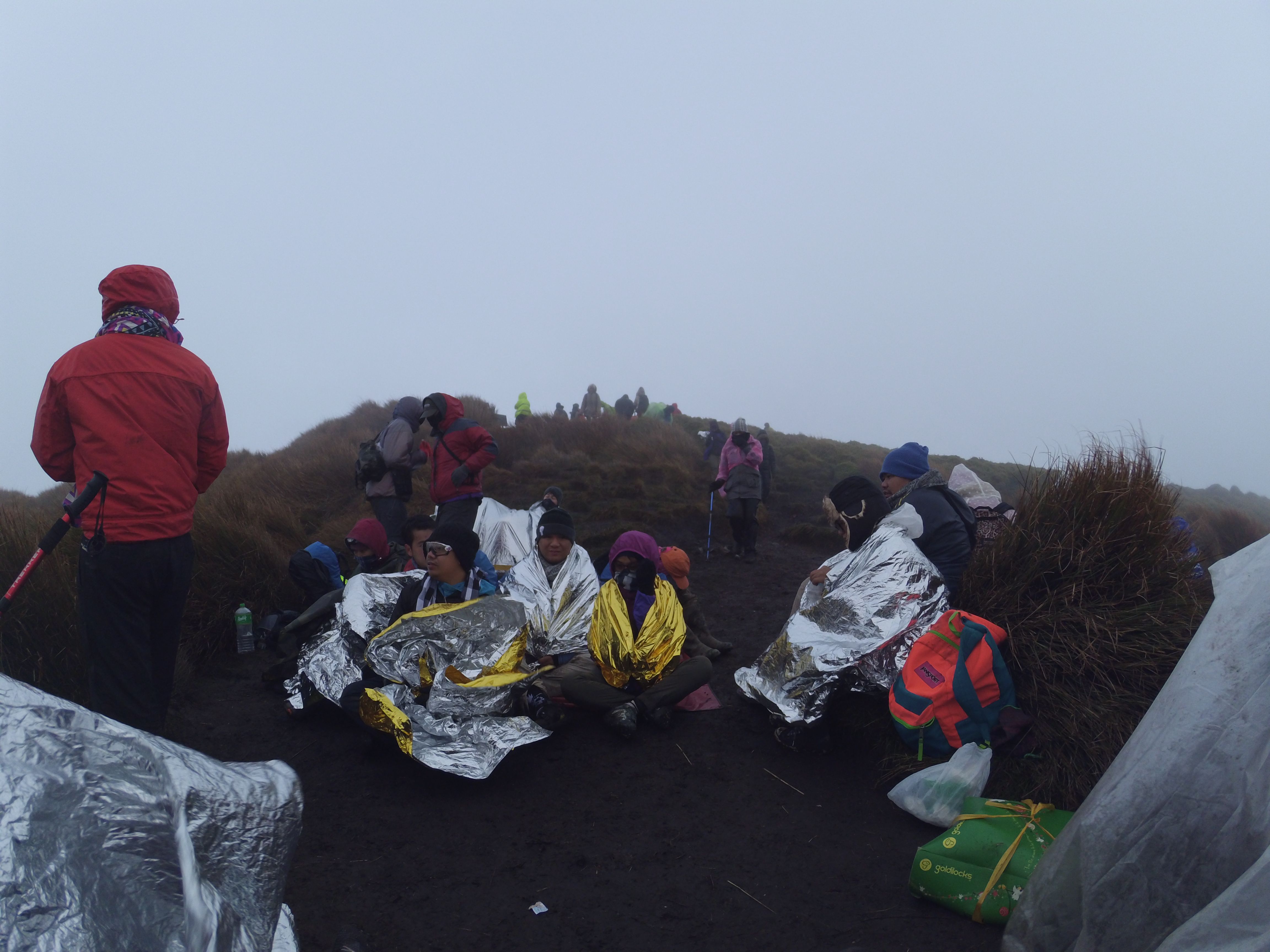
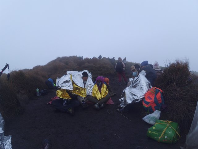
These were taken in the summit. No clearing, very foggy and strong winds that really made us decide to an early descent from the summit.
*** The Trails (Ambangeg Trail)***
Mount Pulag has various trails which you may choose in going to the summit, depending on the difficulties you prepare. The known trails are: Ambangeg Trail (the easiest trail); Akiki Trail (killer trail,this is the most difficult trail) ; Viscaya trail and other various traverse climb.
In our case, we chose the easiest trail which is the Ambangeg Trail.
Here is the map of the Ambangeg Trail.
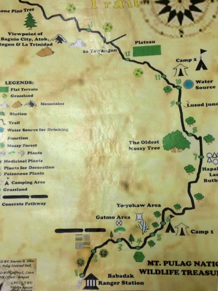
Ambangeg Trail it is very covenient type of trail which will take 2days to reach the summit. An overnight stay in the Ranger station either in homestay that will cost P200.00 or fetching a tent in the camp site which you can also rent it in the station for P100.00, then an early assault around 1:00am to the summit.
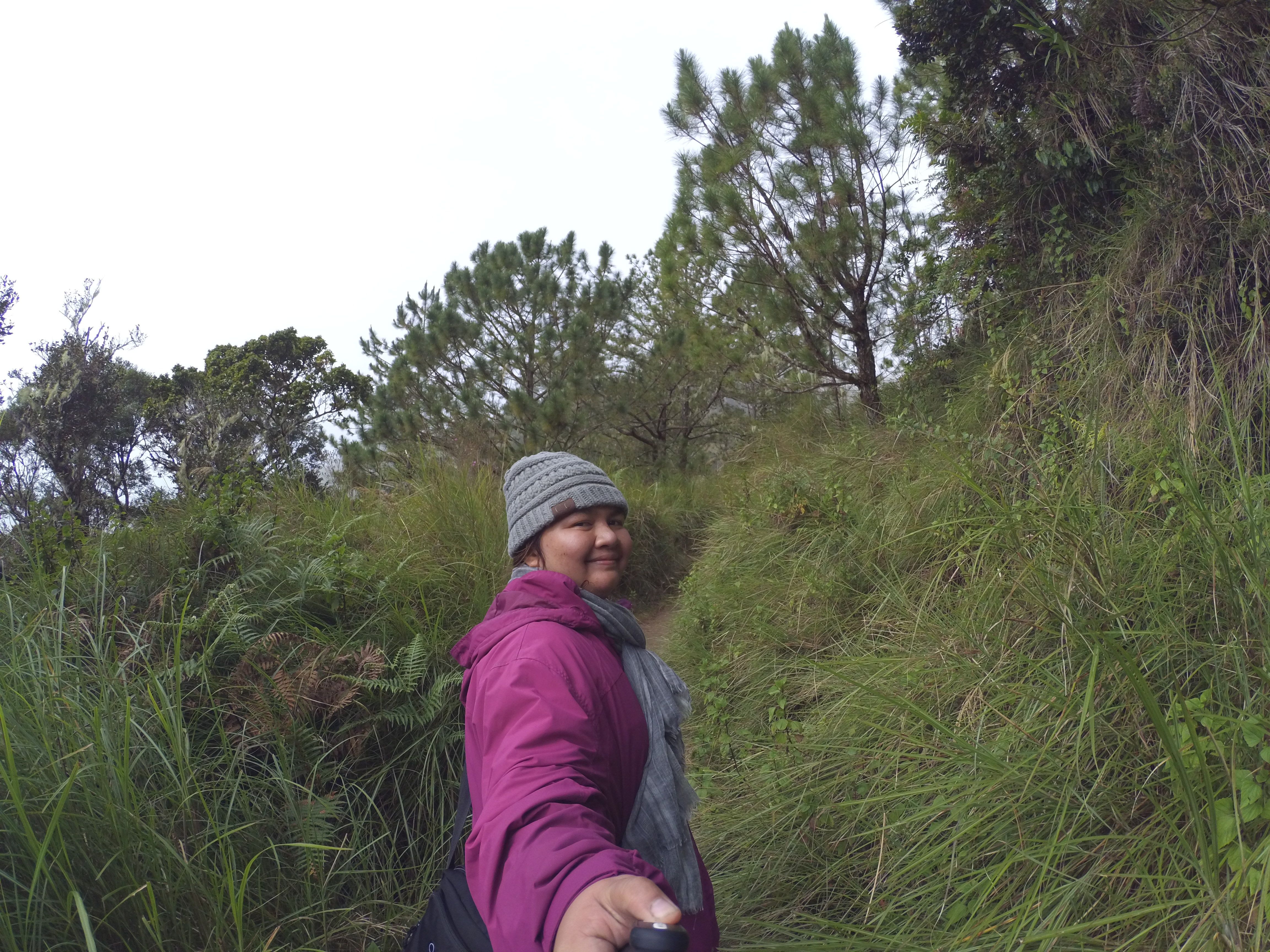
From Ranger Station to the summit is around 8kms. At first part of the trail, you will be passing a wide trail sorrounded by a pine trees and the scenic landscape view. After a awhile of trekking, you will enter the montane forest which give you a chance to see the different kinds of Flora and Fauna and various mosses and bonsai-shaped trees.
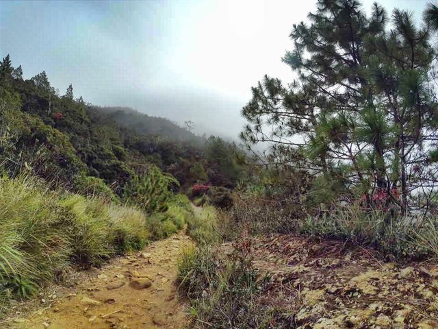
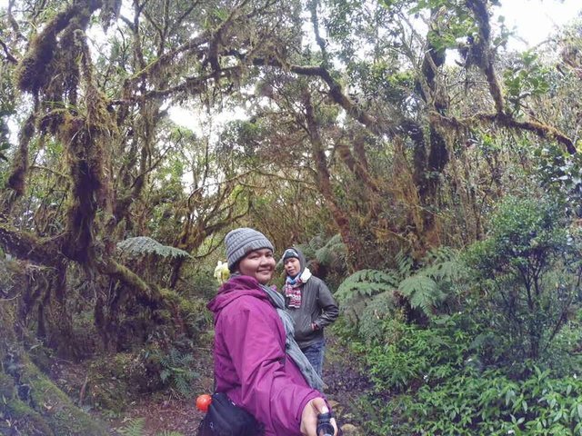
The next trail type that you will be passing is the Mossy Forest which is still in the Camp-1 and is being known by its landmark, a Nipa Shade good for resting.
Here are some of our photos as We entered the mossy forest.
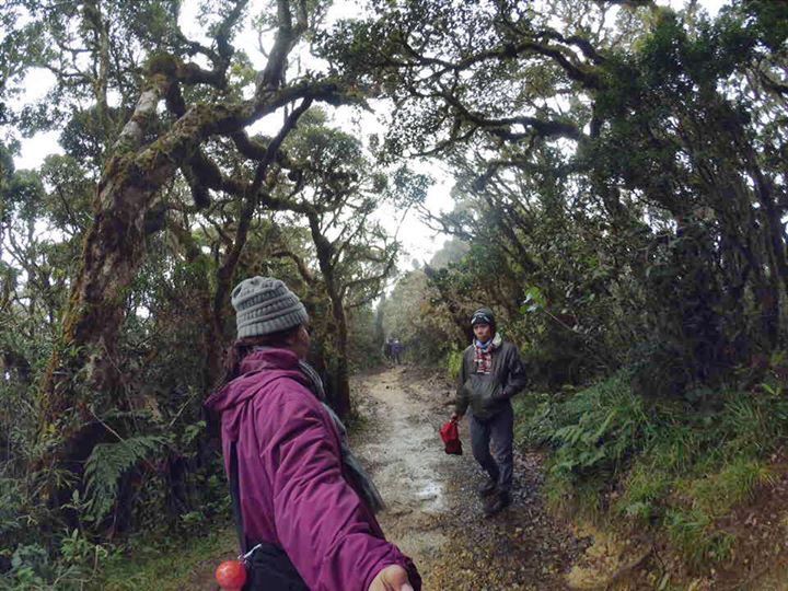
The entirety of the trek going to the grassland is a little bit difficult for you will be passing a steepy part which is an up and down trek.
Camp-2, is the beginning of 2,600 MASL. It takes 3 hours from Ranger Station to this camp. This is also being bounded by a nipa Hut which is larger than the shelter shade in the camp-1. This camp will dominantly features a grassland. It is very relaxing and enjoyable for the trail is very comfortable since it is in a gradual surface plus the cool temperature since the park begins to show the very unique characteristic, the baldness of the mountain. All in all the camp trail is just like you are rolling going to the summit. Very easy. But it will never be easy on our case since it was in a bad weather, too mud and slush.
There is also a camp site which goes beyond the summit. This is called Saddle Camp in the Camp-3, others prepare this camp because this is closer to the summit. But so sad to know that this camp as of now is no longer available because of the forest fire which almost destroys the 1.5kms dwarf bamboo grass in the camp.
After an hour of trekking, here comes the summit. We arrived at the highest peak with its Mt. Pulags'signage around 5:30am in the morning.
Due to the bad weather and a negative temperature in the summit that almost made the hikers chilled and glacial, we immediately descent the summit around 7:00am.
Although, we failed to catch the stunning view of the sea of clouds because of an inclement weather, no clearing, plus its the month of December where rain is always in the forecast in the Philipines, still I am very proud and flattered that I got a chance to see the magestic beauty of the National Park. Despite the bad weather, still the park shows scenic views which are incomparably different to any other mountains.
Its Beauty and Unique Features
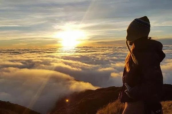
Mt. Pulag has very unique characteristics and its own features. Aside from being known as the coldest place in the Philippines because of its unique freezing temperature . The mountain is commonly called by the native tribes as Playgrounds of God because literally, this mountain is really closest to heaven. But its best features that this mountain is being known for everyone is its The Sea of Clouds where you can see it during sunrise. At dawn, you can also see the milky way galaxy view which has attracted many tourists to wander this place. The Mount Pulag National Park has also lots of Flora and Fauna which you can see it along the way going to the summit. And the famous dwarf bamboo species which can only be found in Mt. Pulag and Mt. Halcon. The mossy forest which is older than our ancestors existence, wild animals and many others. That is why many tourists, travelers, hikers are used to go and visit this place because of its amazing features.
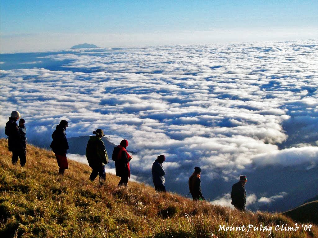
This is supposed to be the view if there is a sea of clouds. (photo credit: Google)
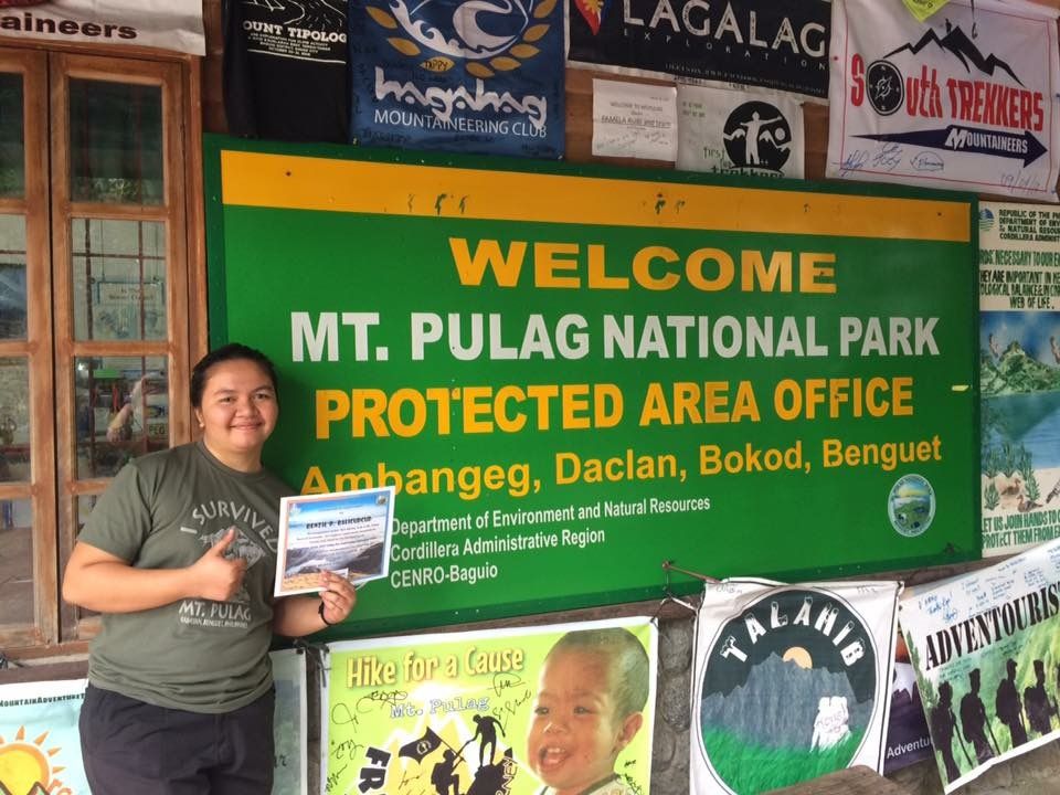
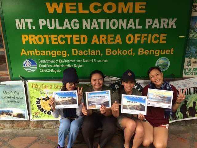
After we took our lunch in the Ranger Station, we went back to the to the DENR Office for the visitors Check out and of course to get most rewarding document that could justify my visit and hike in the Mt. Pulag. The Certificate of Climb, am so blessed and previleged to be included in the list of honorary of the Mt. Pulag National Park.
To sum up, my first climb is really unforgettable. This was the first time that I joined such trekky trail like this, and even to walk for morethan 16 kilometers for just a day.
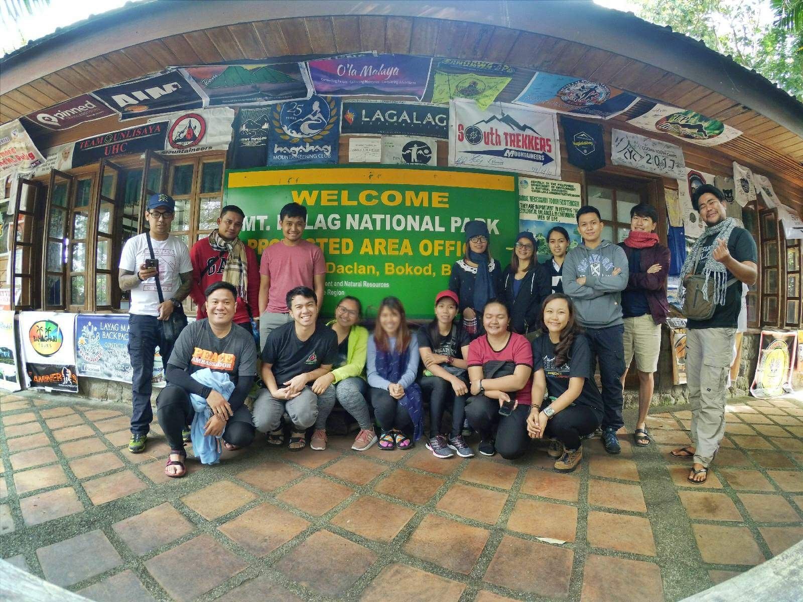
But of course, this wont let happen without the help and guidance of our organizer and the company. Thanks to @Trailzoned and the people behind this successful adventure.
This is a photo of the group of hikers I joined with named Trailzoned
Photo taken at the DENR Office..
Hope you will like it guys, eventhough I am not a hiker, I still did it. It is just on the perseverance and courage of every mans'interest to the things they want and desired to do. Nothing will really impossible to those being determined to do such.
enjoy wandering
Xoxo,
Renzil
Hey there! You were featured in the Daily @steemitfamilyph Featured Posts 62nd Edition. Congratulations!!
Hello! Philippines is great!
We will be familiar - and I'm from Russia!
I signed up for your post, visit me!
Wow! What an adventure! Nice photos too!
Wow!super nice.i love it so much.i wish i can go there 😍😍
Wow. What a beautiful place.
I really wants to go there soon. Hehe
yes. the place is indeed amazing. better to go there during summer.:)
Hi.is mt Pulag your mother mountain?
hello. Mt. Apo I think is the PH mother Mountain.
For a long time I did not go camping. It is interesting
Yes ma'am @zlata777 adventure is indeed interesting.😉 You must go camping again😊
Keep traveling and sharing. That bag of candy looks so tasty right now and that journey looked quite epic.