brief history of a dam in the desert: the goronyo dam
Goronyo Dam is the largest dam under the jurisdiction of Sokoto Rima River Basin Authority (SRRBDA). The Dam is located near Keta Village 25 km East of Goronyo Town and 90 km away from Sokoto town, the earth fill Dam is built across River Rima, it was constructed and completed in May 1984 by Mssrs Impresit Bakalori Nigeria Limited.
It is a key structure for development of water resources for middle Rima valley irrigation project, (MRVIP) and Fadama irrigation, which extends from Katsira to the River Mouth at Yalwa- Ya’uri.
It is a multi-purpose storage Dam designed to store nine hundred and forty two million cubic meters (942 x 106 m3) of water for irrigation and development of downstream areas from Goronyo to Argungu, covering an area of over seventeen thousand hectares (17,000ha).
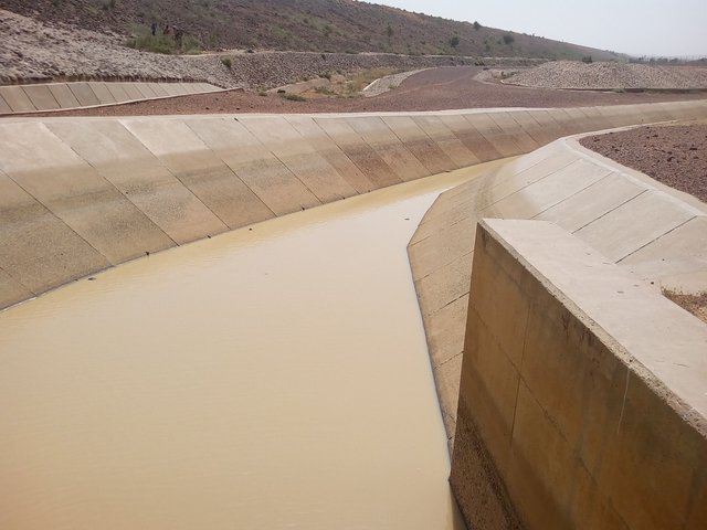
The dam also designed to control flood and to provide an annual regulated flow of four hundred and twenty five million cubic meters (425 x 106 m3) in order to double the present rice cultivated in that area from forty thousand hectares (40,000ha) to eighty thousand hectares(80,000ha). This Dam also supplies over eighty thousand million cubic meters (80 x 106 m3) of water annually to Sokoto, Argungu and Birnin-Kebbi water supply schemes.
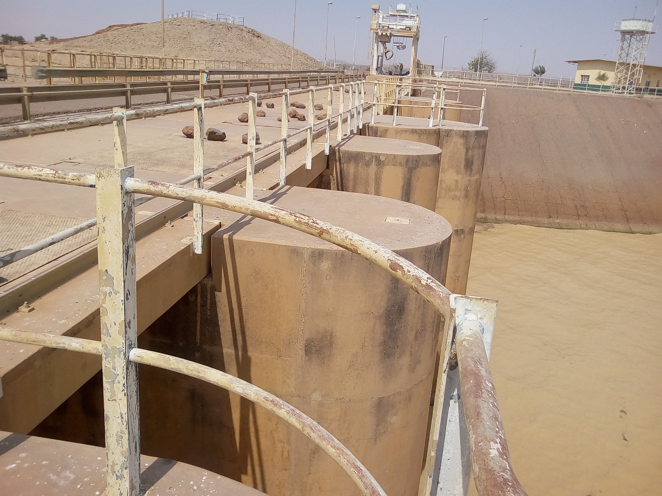
The Goronyo Dam is made-up three Embankments (Main-Dam, Secondary Dam and Saddle Dyke) with the total length of 12.462 meters, and natural embankment of 12.271 meters totaling to 24.733 meters. It also has stealing basin which is a controlled spillway, this controlled spillway has five gates, the two gates apart are flood control gates they are used for flood regulation, the other two gates are intake gates for irrigation and dry season releases, and last one is the bottom outlet gate (desilting gate) it used to removed the reservoir sediment, it place at the bottom of the dam such that all suspended materials and sediment are evacuated outside the area down to the river channel.
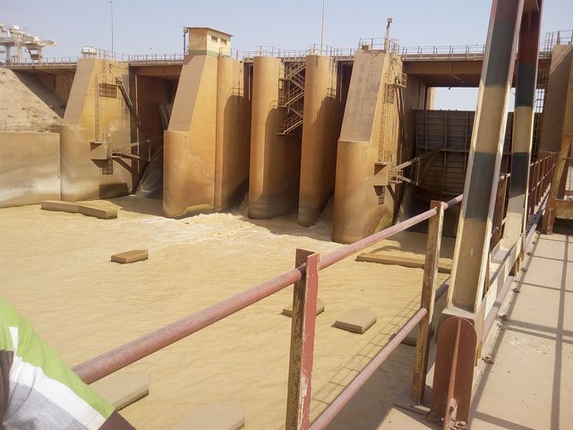
See the silent features below.
The reservoir created by the Dam is the second largest man-made lake in Nigeria and covers an area of 200km2 (20,000ha), has a full storage level of +287.50 m.a.s.l. and capable of storing nine hundred and forty two million cubic meters (942 x 106 m3). River Gagare, River Bunsuru, and River Maradi are the main tributaries of Goronyo dam. While constructing the dam thirty one (31) villages were affected and resettled to the nearby area with total population of over twenty thousand (20,000)
The two hundred kilo meter square (200km2) Lake formed by the dam has boosted the fishing activities and tourism in this area, in fact the fisher men around dam area inspired that they don’t have modernized fishing equipment but they can caught a fish as big as 90km, so if the capacity of those fisher men is improved a lot of fishing activities can be achieved in this area and provide more employment to a lot of populace.
The Goronyo dam used for Water supply of Sokoto & Kebbi States, Irrigation, Recharging of aquifer, Flood Regulation, Fisheries and Tourisms.
You received a 10.0% upvote since you are not yet a member of geopolis.
To read more about us and what we do, click here.
https://steemit.com/geopolis/@geopolis/geopolis-the-community-for-global-sciences-update-3
If you do not want us to upvote and comment on your posts concerning earth and earth sciences, please reply stop to this comment and we will no longer bother you with our love ❤️
Very valuable. Keep it coming. Upvoted and followed, kindly follow back and upvote my posts. Thanks
Wow...i need knew this, whats the first man-made lake in nigeria. Keep the info coming
OK. Thanks for visiting my blog