Mount Arbel in the Galilee, Northern Israel
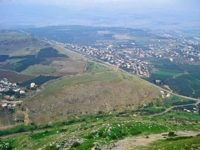
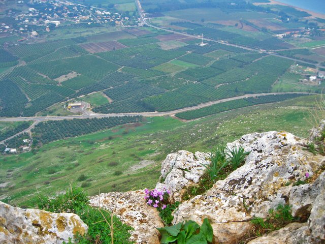
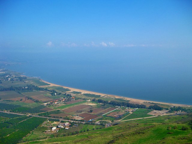
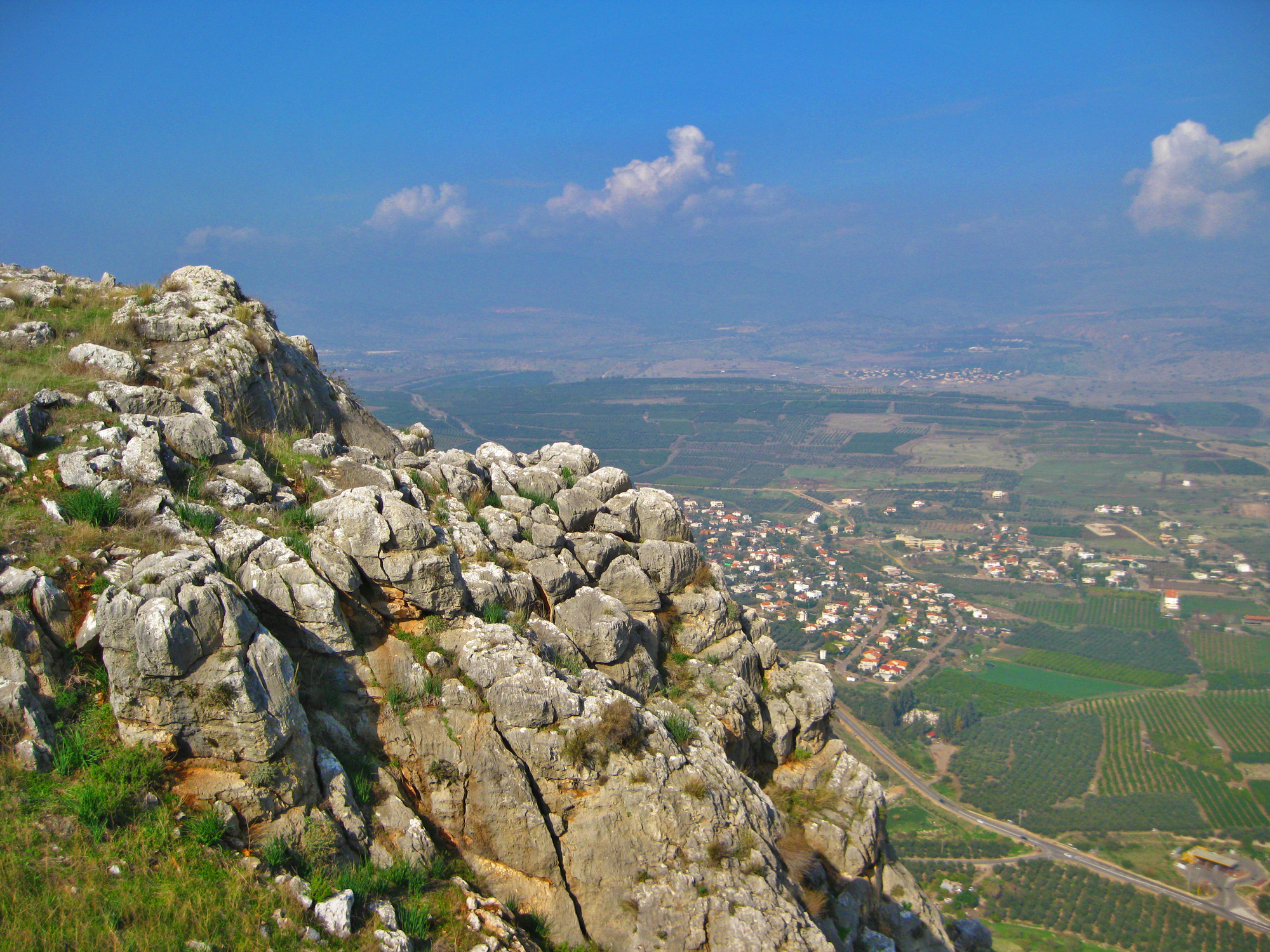
Mount Arbel is located directly above the Sea of Galilee - Kinneret, north of the city of Tiberias. It is located opposite Mount Nitai, their rocks were formed by a geological fault, which resulted in the emergence of the Jordan rift valley. The peak of the mountain lies at an altitude of 181 m above sea level (380 m above the surroundings), most of which is below sea level.
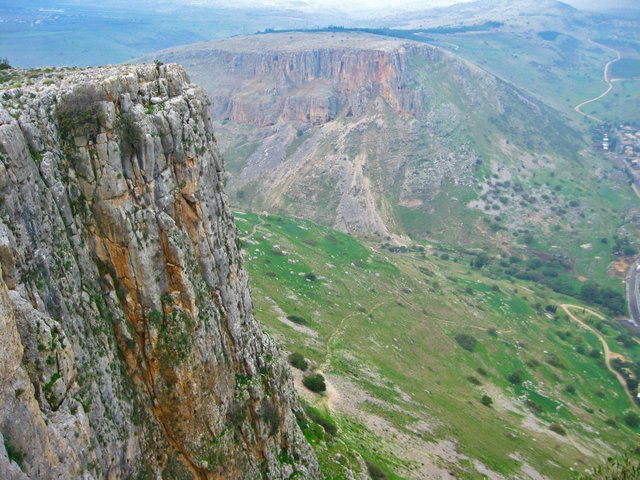
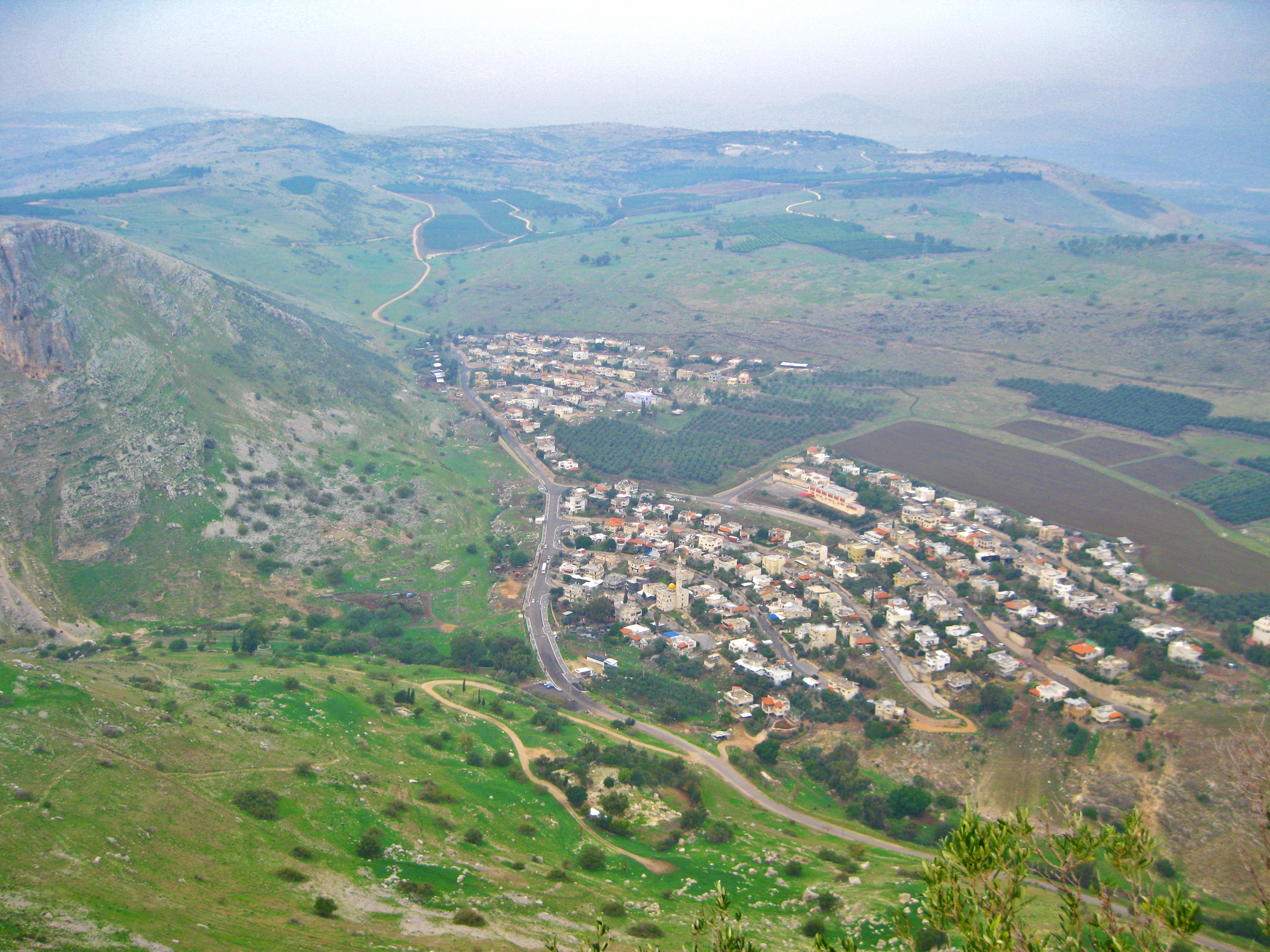
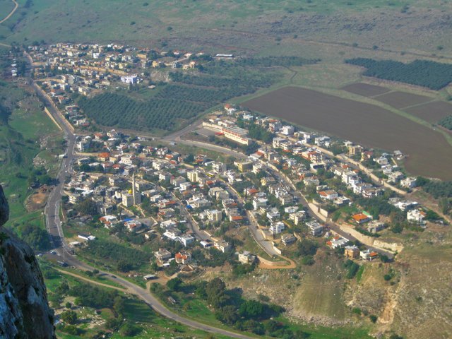
On the mountain and its slopes are four villages: Kfar Zeitim, Arbel, Kfar Hittim and Mizpah. Almost all Galilee is visible from the observation platform on the top of the mountain, including Safed and Tiberias, the Golan Heights and most of the Sea of Galilee. At the bottom of Mount Arbel is Wadi Hamam, which in Arabic means "Creek of pigeons." A lot of pigeons hide in caves among the rocks.
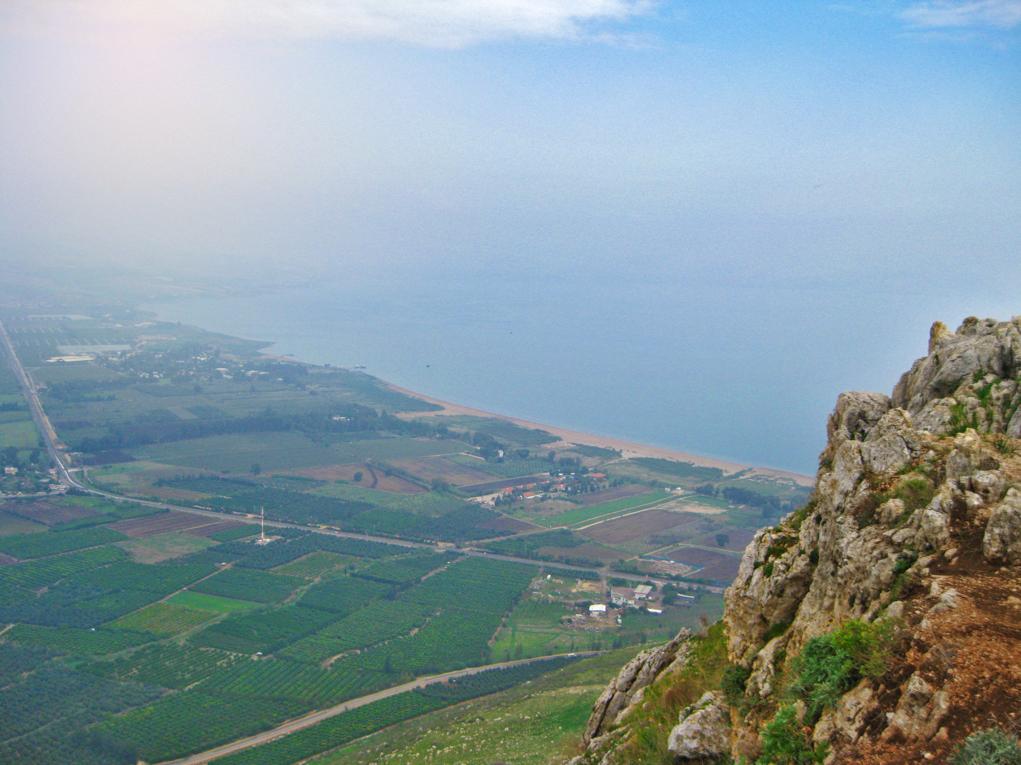
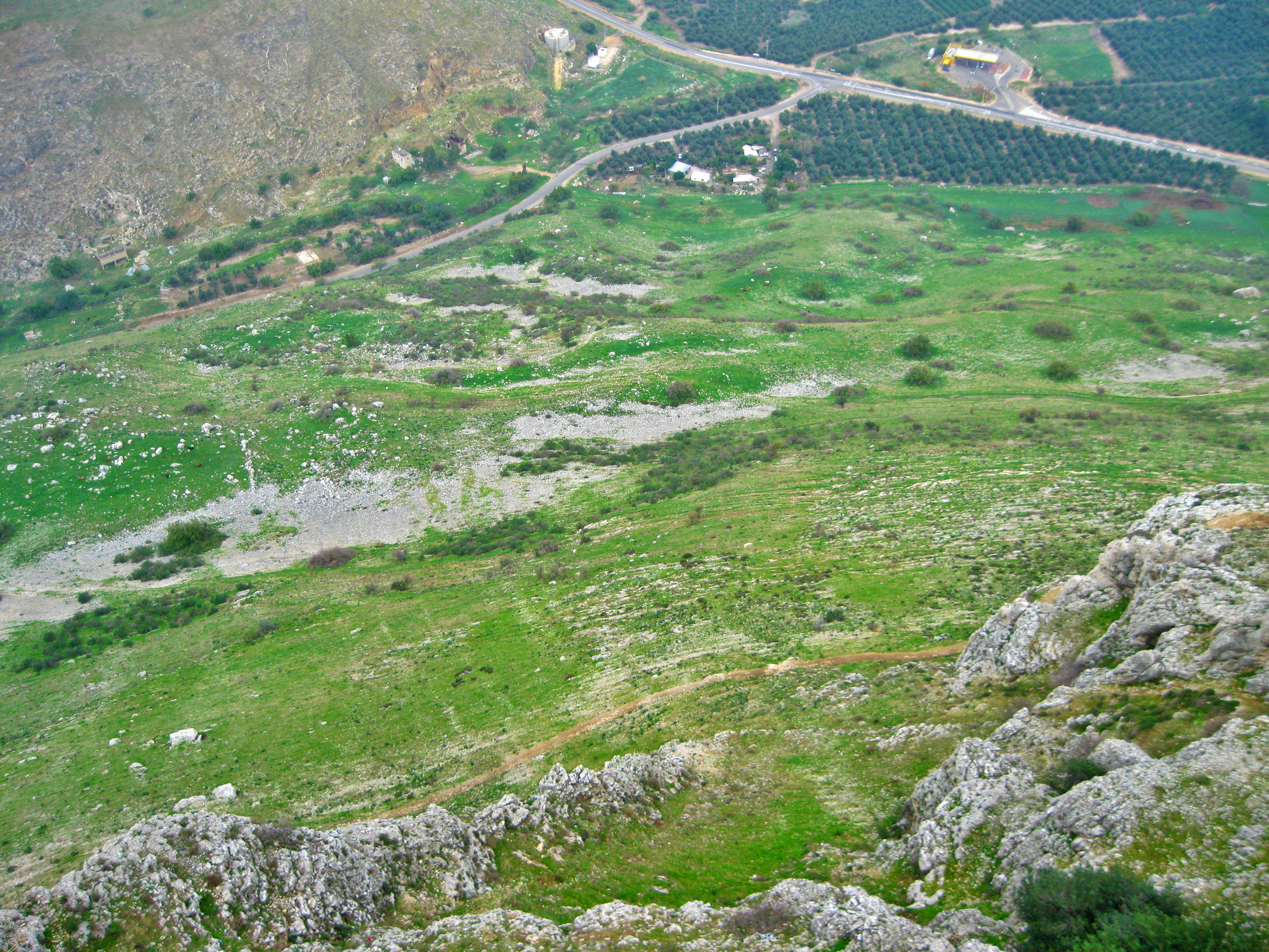
This area was declared a nature reserve (1967) and a national park. The area of the reserve is 140 hectares. The national park (850 hectares) includes the most part of the creek (nahal) Arbel, which starts near the village of Eilabuna and flows into the Sea of Galilee, near the village Migdal. On the southern side of the cliff, there is a gradual long climb through agricultural and pasture land, and on the other hand, there is a very steep descent 400 m.

Ukrainian breakfast. Not kosher, but tasty and healthy :)
Awesome Work!
I've verified that your photography is original, and that means it's so good that I had to check.
Your post has just been upvoted and resteemed by @yourluckyphotos - The nonprofit service that rewards and promotes original photographers on Steemit.
Your photography will be featured in today's lucky 20 showcase alongside nineteen other lucky photographers. Not only that, but this post has received a lottery number for the March 2018 "Lucky Photo Lottery" for a chance of winning free Steem Dollars.