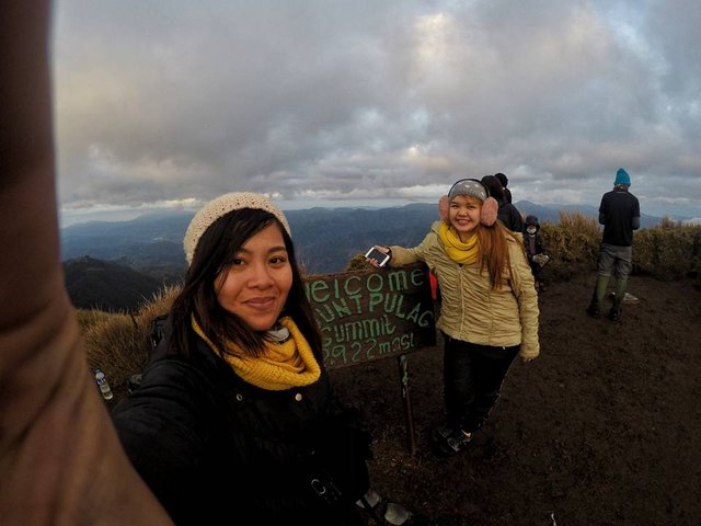
PLAYGROUND OF THE GODS: MT. PULAG

in #travel6 years ago (edited)

The following are our own accounts, from the locals and wanderers (and the dreamers) we’ve met during our 3-day adventure up the playground of the gods.

We woke up a little past midnight. I checked my watch: 12:05am. We had approximately 25 minutes left until we leave the comfort of our homestay (a room for rent in local houses).

“Are we really doing this?”, I asked my best friend. Surely, this was not the time to back out. Still, the question became a mantra until we reached the summit at approximately 6:15 am, knees shaking, (super) tired, hungry but extremely satisfied (thank God).

Pul-ag

Mt. Pulag, known as the "playground of the gods", is the highest peak in Luzon and the third highest mountain in the Philippines at 2,922 meters (9,587 feet) above sea level. It is situated between the borders where the provinces of Nueva Vizcaya, Benguet and Ifugao meet.

Pul-ag means bald because there are no trees from the grassland to the summit. Other than its majestic features, Mt. Pulag also vaunts a huge selection of wild fauna and flora. This mountain is a home of 528 documented plant species. Among its native wildlife are 33 bird species and several threatened mammals such as Philippine Deer, Giant Bushy-Tailed Cloud Rat (bowet) and the Long-Haired Fruit Bat.

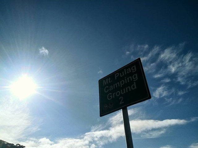
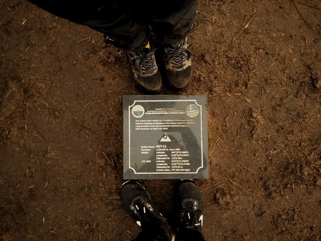
Badabak Ranger Station

There are four major trails to choose from: the Ambangeg (the famous trail), Akiki, and Tawangan from Benguet and the Ambaguio trail from Nueva Vizcaya (pcij.org, 2009). These trails are managed under the Department of Environment and Natural Resources (DENR).

Our major jump-off to the Ambangeg Trail (we're not experts! Haha) was at Badabak. Temperatures did really tumble to near-freezing levels but the encounter of the major parts of the mountain (pine trees, montane forest, grassland) made it worthwhile.

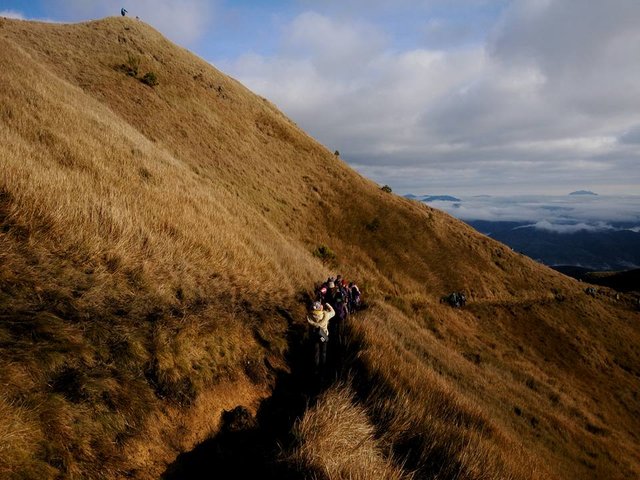
Campsites and Rules of Survival

There are three camps at Mt. Pulag. We were not able to stay at camp 2 because we went there on a weekend. Due to the number of people visiting, new rules were made.

Here’s a little breakdown: If you are camping from the ranger station, it will take 5-6 hours to the summit. The hike will start at 1:00 in the morning. On the other hand, if you are going to set your camp at camp 2 (from ground zero), you'd have to start by approximately 1:00-2:00 in the afternoon at day one and hike to the summit at 4:00 am on your day 2. Camp 2 is just 1-2 hours away from the summit.

Reminders from DENR
  1. No fires, camping, swimming, or bathing near lake or streams.
  2. Wash away from the water sources
  3. Minimize use of soap
  4. Do not dispose waste near water sources
  5. No spitting
  6. Pack out all garbage and food waste
  7. Remove all traces of group and personal presence
  8. Leave what you find
  9. Uphold the sanctity of Mt. Pulag
  10. Visitors are required to register and secure a permit
  11. Collecting of plants and other wildlife is prohibited.
  12. Check drinking water and food packs
  13. Camping in the grassland is strictly prohibited.

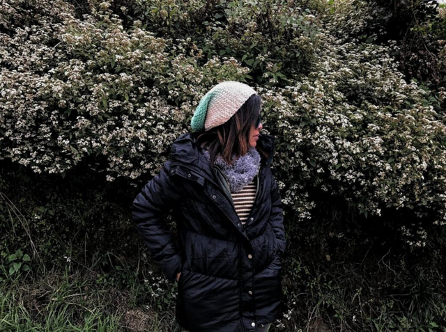
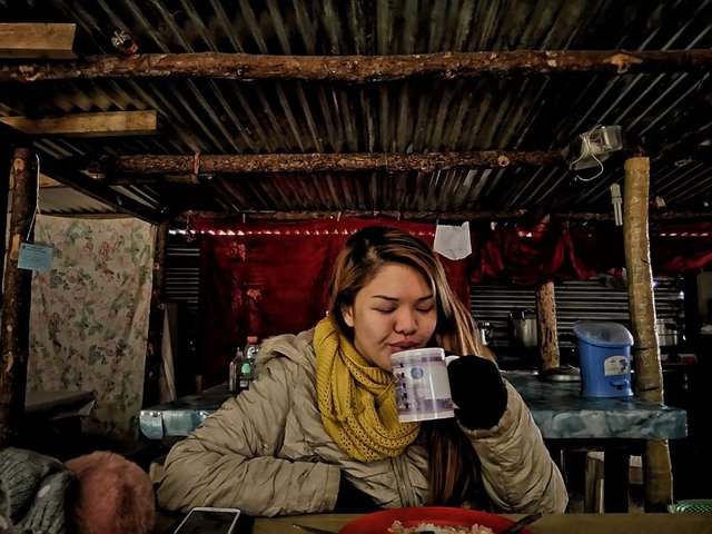
Ridiculously Cold Weather

Being in cold places - well - let's just say it really isn't for me (ehem). For a mountain this high, frost is more common due to low temperature drops for months. Before you end up freezing like a popsicle (without being able to see the glorious peak), make sure not to forget these essentials:

Fleece Jacket - base layer, Thermal Jacket - mid layer, Windbreaker Jacket, Rain Coat, Thick Gloves, Bonnet / Cap and Thick Socks
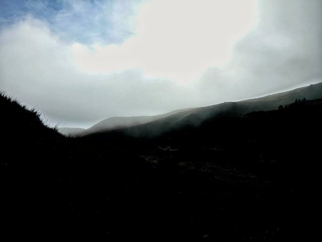
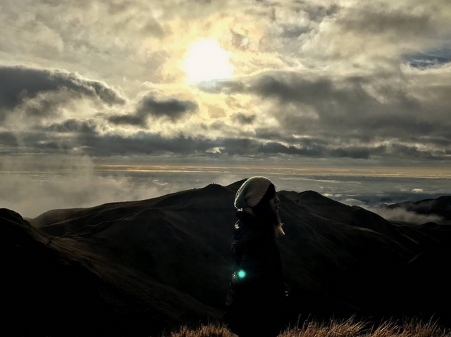
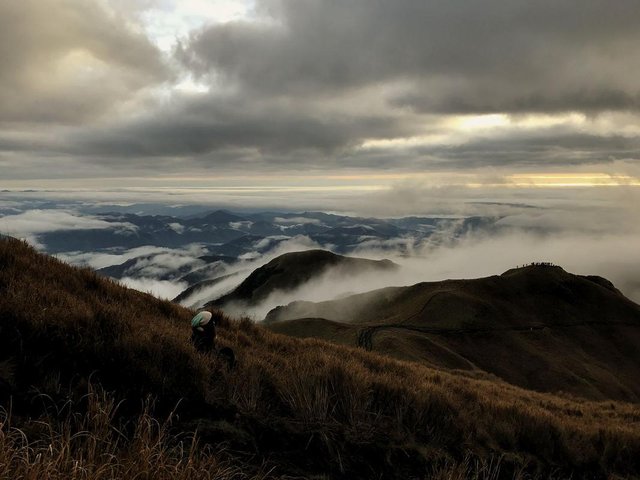
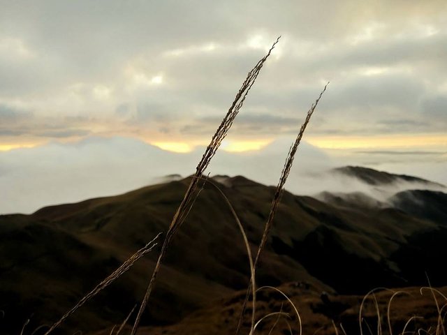
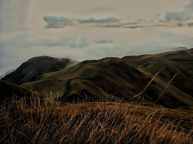
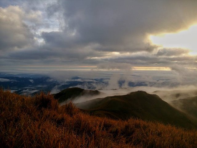
Sea of Clouds

According to the locals, the best time to see this layer of clouds covering the whole area is between 5:30 to 6:30 AM. When we were planning our trip, we had 2 goals (to witness): 1 – the starry night sky and 2 – the sea of clouds. Unfortunately, we only saw the latter for 5 minutes! Better than nothing right?

And oh, this was a do-it-yourself climb by the way.

Always seek new adventures. It is always out there!

Chase sunsets.

Coin Marketplace

STEEM 0.20
TRX 0.13
JST 0.029
BTC 66397.79
ETH 3460.28
USDT 1.00
SBD 2.61