Trolltunga - The Troll's Tongue - Enjoying breathtaking views whilst hiking and camping in Norway | Part 1
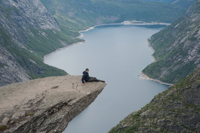
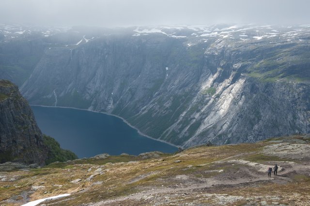
Overlooking lake Ringedalsvatnet, Trolltunga or the Troll's Tongue offers some spectacular views of the snow capped mountains and the lake that sits 700 meters below this intriguing cliff. The top image is of me sitting on the famous cliff, and was taken by @meanmommy.
I have just returned from my hike there with @meanmommy33. We got to spend 3 nights in these wonderful mountains. Although not everything went as smoothly as I expected it to, we still had a great time despite the troubles (mainly weather and transport related but also since it was the first trip of this kind for her, it was a bit taxing...).
This is Part 1 of the journal of our trip. (As I see it...) :D
All the shots in this post have been taken with my Nikon D700 and a Nikkor 24-85mm 3.5-4.5G ED lens.
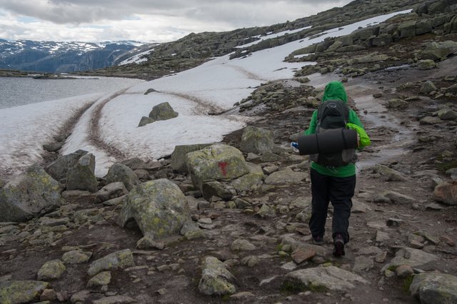
Since I really liked the place, I decided to share with you some details about this location and how you could get up there if you so choose to. If not, I hope you still enjoy seeing it through my lens. :)
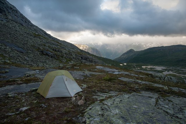
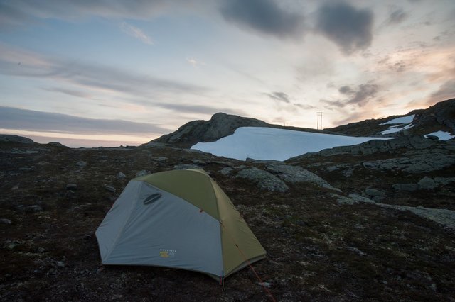
This is where we camped the first night. Temperature in the tent got to about 6 degrees during the night so it was a bit chilly but we managed.
On our first day we left Copenhagen by bus (Swebus) which took us to Oslo after we crossed Sweden. Next up we got another bus (Nor-Way Bus) to Odda. We had a pizza and a couple of beers at the Smeltehuset restaurant next to the station and then went up to Skjeggedal Carpark with a local "taxi bus" that charged 300 NOK for the both of us but since it was late and we didn't have much options we went with that.
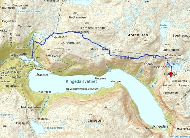
Map of the trail from Skjeggedal to Trolltunga cliff.
This is supposed to be a day hike and that is the way most people do it. It generally takes about 10-12 hours to go there and return (depending on weather, physical fitness and how light your pack is). The trail is 22 km long and the 1st km is the hardest.
We decided we would stretch it out over and spend 3 nights there since we had more time to our disposal and it would also make it easier.
You can camp after you pass the 3 km mark around the small lakes with the huts after the initial steep bit that climbs about 450 m in a steep fashion.
Got no shots of this bit since it was getting dark and it was raining and the going was tough. We got to our camp site late at almost 1 AM in the cold wind and rain. I set up the tent and we sheltered inside.
These shots are from the first morning when there was a brief weather window before the rain started again.
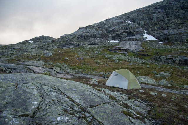
If you do camp there you should have a good sleeping bag and sleeping mat as well as decent mountain tent that can cope with high winds and lots of rain.
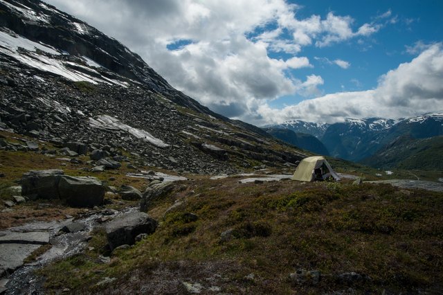
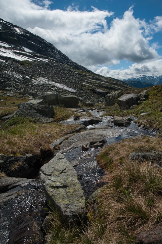
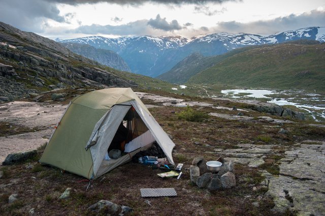
We stayed here to recover after the rough first day and night. The weather got a bit better but there were still lots of times it rained and we had to spend a lot of that time in the tent. There were lots of people heading up towards Trolltunga that day.
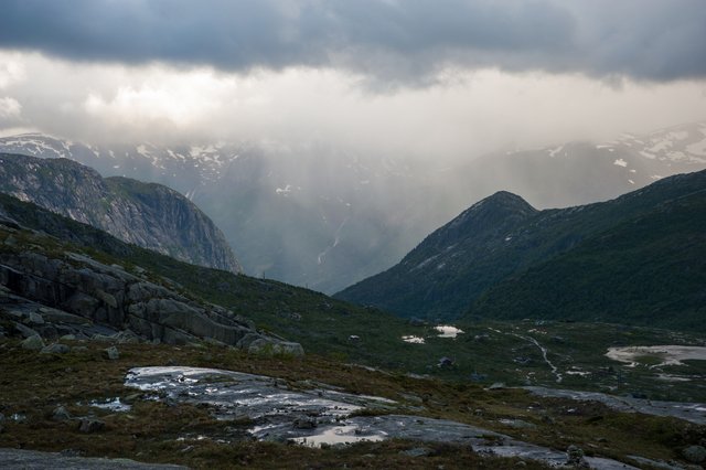
The valley below towards Tyssedal.
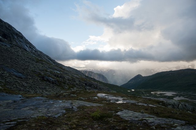
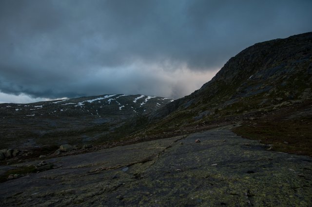
This was taken in the morning around 5:30 when we were getting ready for the next part of our journey where we went to Trolltunga and then returned 5 km to camp next to one of the emergency huts there.
The light was amazing there. It is great to be this far North in July since there is still light outside at 1:30 AM.
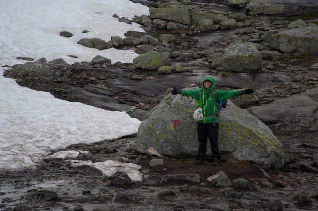
@meanmommy33 at the top of the saddle above our first camp site.
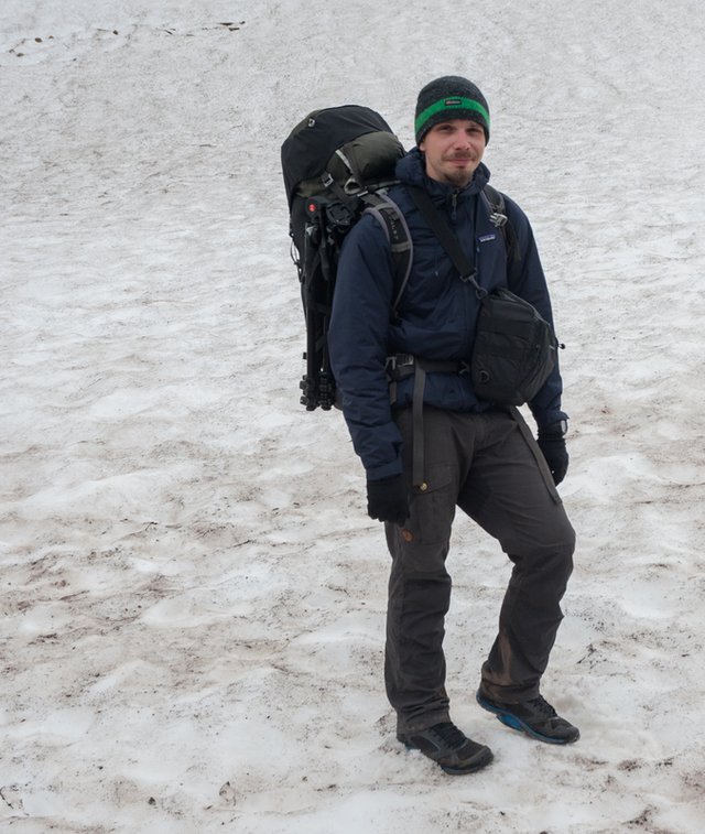
Me (all images of me in this post have been taken by @meanmommy33 with my camera)
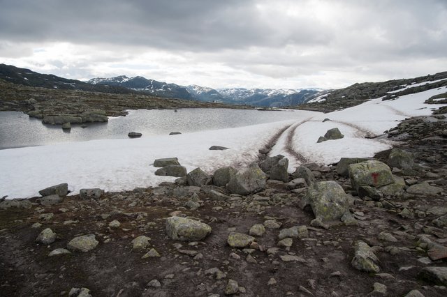
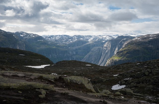
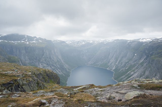
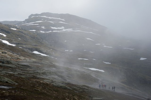
This was taken after we passed the half way mark and stopped for a break at the second of the two survival huts we came across.
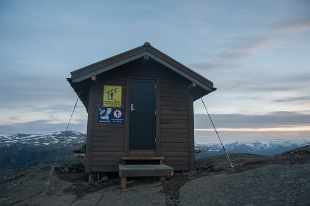
This is where we returned to and camped after reaching the famous cliff. This hut is called Endåen and you can find it at the 8.3 km mark of the trail. It is basic but can and does save lives all the time.
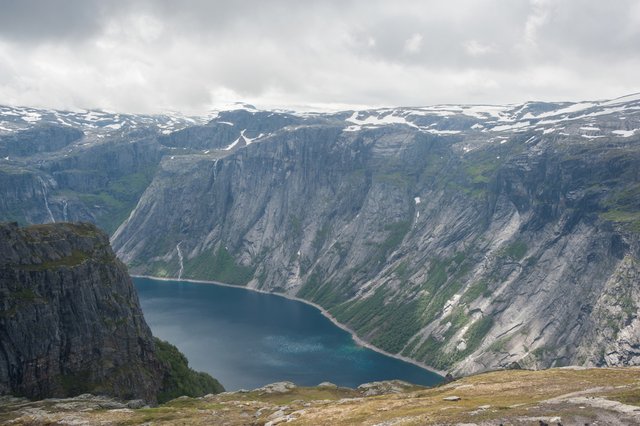
Lake Ringedalsvatnet
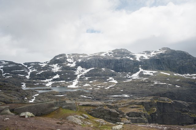
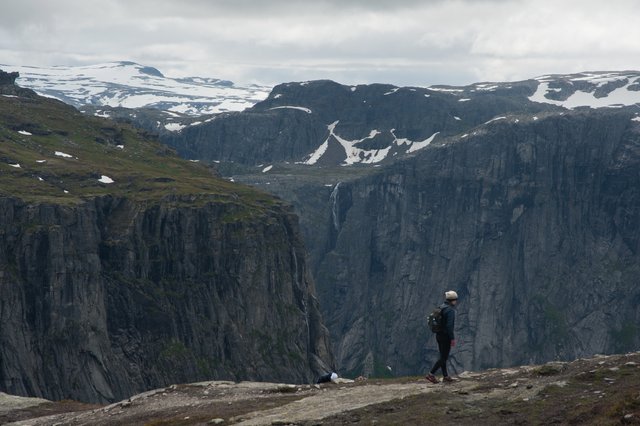
I will post more images from and more information about this place on Part 2 of this journal. As soon as I get some time to write it and go through all the shots. For now I need to go to sleep as I have to wake up in 7 hours to go to work and I was on a bus from Oslo to Copenhagen last night. :)
Very cool photos friend.
Many thanks! Pleased to hear you liked them!
Wow great pictures. It looks very cold. I bet that hut (Endåen) was a welcome break from the tent? Followed and upvoted.
It was very cold indeed and unfortunately the hut wasn't as warm as expected, because it wasn't heated :/ I was so disappointed!! But at least it provided a bit of privacy plus we avoided the ice in the morning!! :D
Thanks! It was a bit cold for the middle of July. Yeah the hut was nice but we had the tent next to it in case someone showed up with a real emergency and we had to move. Thanks for the follow, hope to see you around!
I still cannot believe I did this...but I'm glad I did...It was a life experience and the views were amazing indeed! Thank you for taking me there babe! :)
You are welcome! Glad you liked it! :)
So... is it cold in there? :)
Yeah, quite a bit. It went down to about freezing point...
Amazing adventure. Pretty white scenery. Looks like a great time you had there. Thank you for sharing my friend and greetings to @meanmommy33 . You welcome to see my Alaska Parts if you wish. :)))
Hello! :) Well, for me as a newbie it was really hard, but I don't regret it!!! :)
Work always get in the way of fun!
Great shots, epic adventure! Looking forward to part 2
Thanks for "dropping by" @daveks and I am glad to hear you like them! Just working on part 2 now... :)
I loved all the shots. I was especially impressed with the shot of you on that cliff with the lake behind you and below you. 700 meters? That's 2200 feet. Very brave of you to walk out there and sit.
One detail that I noticed is that the water level of the lake seems a bit below the treeline. Is that due to a decrease in rainfall there?
Anyway, great post and travels there. Thanks for sharing.
It's great to know you liked them! Eh, there were quite a lot of other brave people waiting for their turn too... It isn't really that bad if you don't look down (which I did, but I like that...) :) The lake has a dam built on it if I am not mistaken so I guess the level drops when they use the water to make electricity. I think hydro-dams are the biggest energy source used in Norway.