Siargao
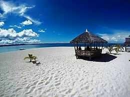
Siargao is a tear-drop shaped island in the Philippine Sea situated 800 kilometers southeast of Manila in the province of Surigao del Norte. It has a land area of approximately 437 square kilometres (169 sq mi). The east coast is relatively straight with one deep inlet, Port Pilar. The coastline is marked by a succession of reefs, small points and white, sandy beaches. The neighboring islands and islets have similar landforms.
Siargao

Beach resort in Siargao island

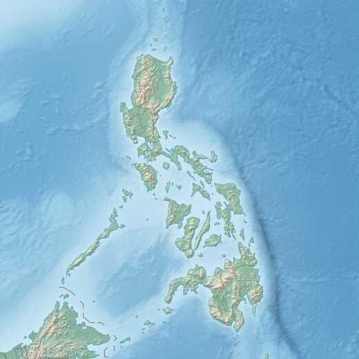
Location within the Philippines
Geography
* Coordinates : 9°54′18″N 126°4′0″E *Adjacent bodies of water: Philippine Sea *Area: 437 km2 (169 sq mi) Highest elevation: 352 m (1,155 ft) *Highest point: Mount Alimbungog
If you want to travel to **SIARGAO** Visit Here: Flights to siargao