Boundary of sea and ocean - Tarifa
The most southern point of Spain is in Tarifa. It is here where the border between the Mediterranean Sea and the Atlantic Ocean passes.
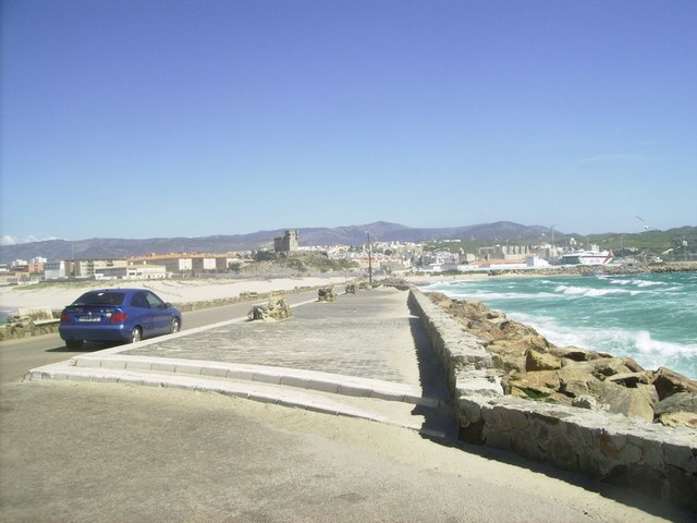
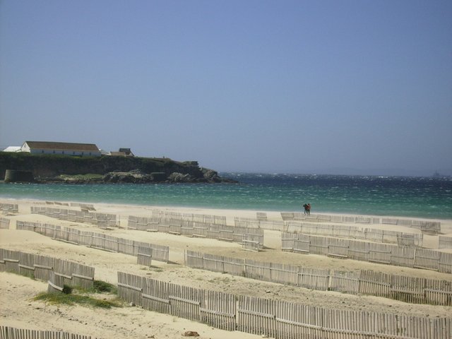
The very southernmost point is on the island, which is connected to the city by a dam. Ordinary tourists are not allowed to enter the island - a closed territory. And they have to walk by the fence. In the photo to the left - the Atlantic Ocean and the beginning of sandy beaches, and to the right - the Mediterranean Sea and slightly visible marina (do not mix) ...
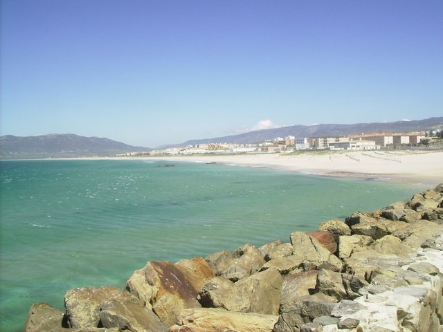
Once more - to the left - the Atlantic Ocean
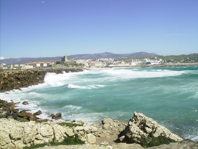
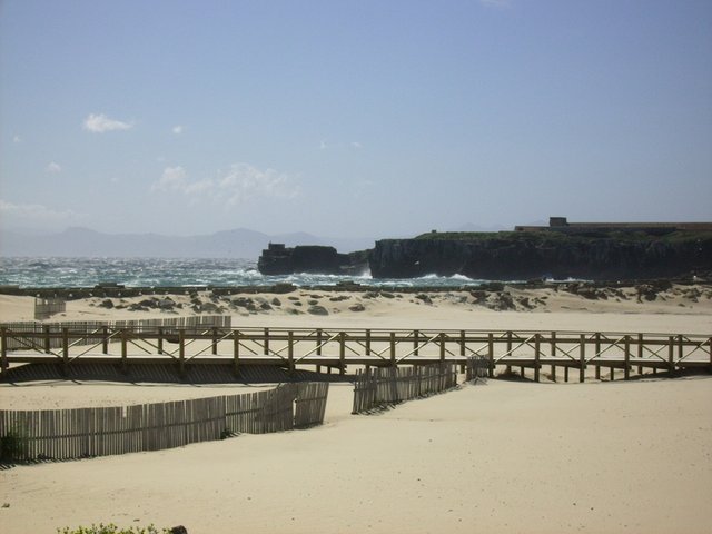
On the right - Mediterranean Sea
In order not to be confused, they put pointers:
Atlantic Ocean

Mediterranean Sea

Atlantic
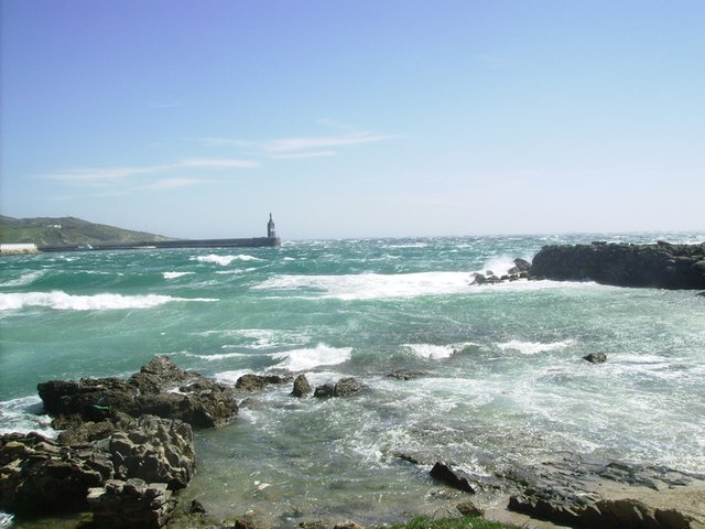
Marina in the Mediterranean Sea

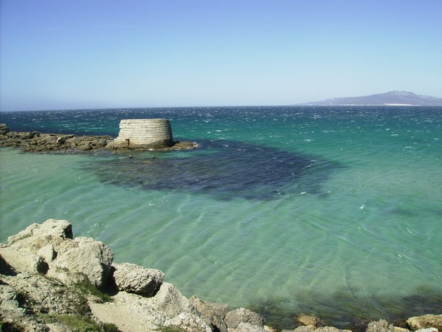
The view of the Island (to which the dam) from the ocean siade and on the horizon is Africa.
View of the Island on the sea side (in front of the sea behind the beach - dam). Africa on the horizon is visible better.
I like you report!
Interesting series.
You're invited to participate in InstaSteem Rewards Program.
In order to participate, simply include the hashtag #instasteem in your post.
By participating, you'll be helping in making Steemit a better place for everyone and helping in growing the community.
To learn more about InstaSteem, please visit this link.
Have a great day!
 Steem on!
Congratulations ! Your post has been highlighted in the Daily Travel Reports