Potent Weather System Brings Tornadoes to North Texas
Tornadic weather impacted North Texas on Sunday 03-26-2017. The SPC had forecast a Moderate risk for large damaging hail and tornadoes as a severe weather system tracked east across North Texas and Southern Oklahoma.
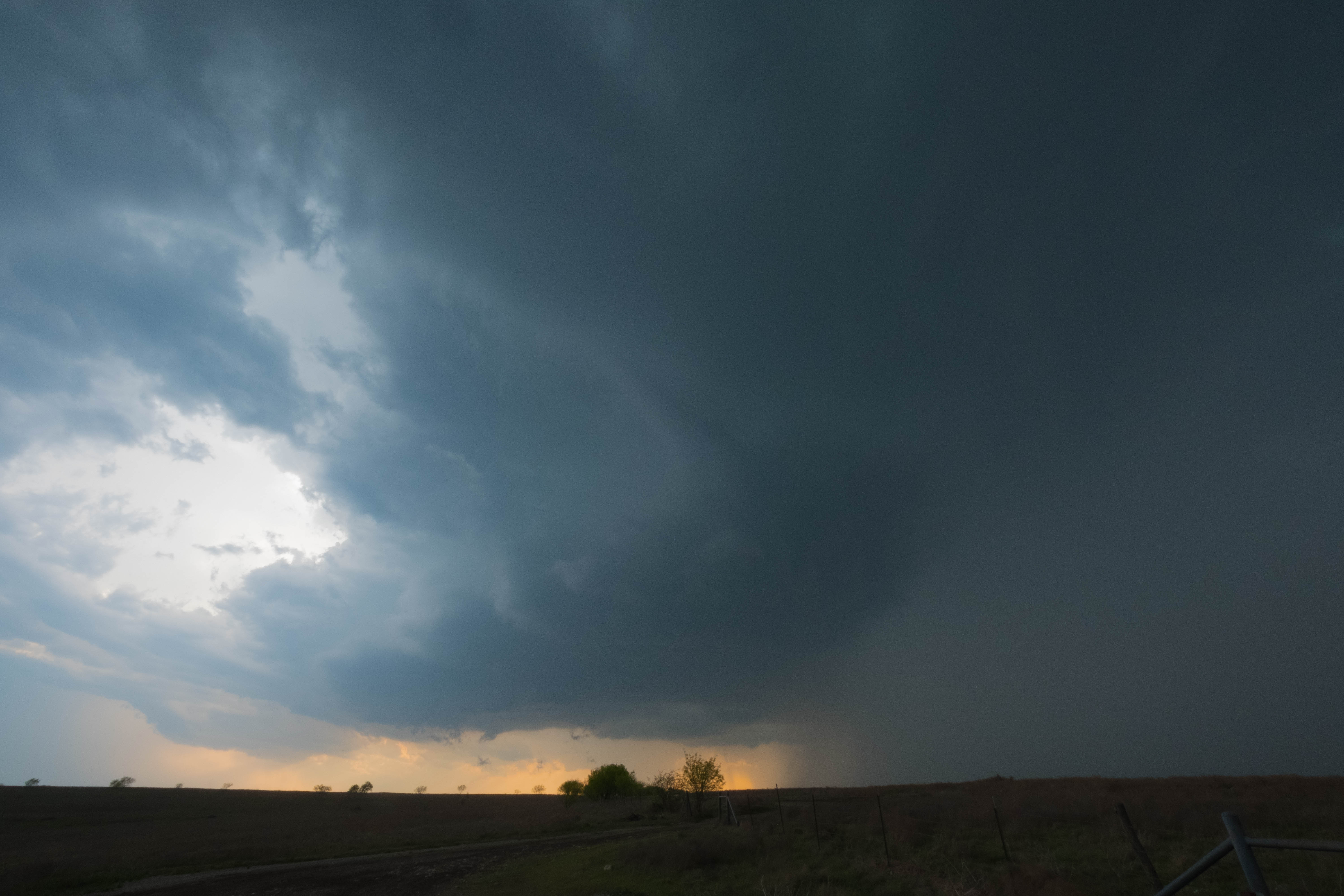
Multiple severe storm cells fired in North Texas where Storm Tracker Aaron Jayjack documented the event. Initially a supercell developed well west of the Denton, TX area. This cell was severe warned but never actually produced a Tornado.
This storm would continue east through Denton and McKinney Texas producing softball sized hail, and causing lots of damage.
Storm Tracker Aaron Jayjack dropped south from this cell to track two other supercells approaching the Justin, TX area. This super cell would become Tornado warned just a few miles west of Justin, TX. The menacing wall cloud of this supercell could be seen to the west and as it intensified, another supercell to its south approached and slammed into the tornadic circulation. Rain bands wrapped around this wall cloud, obscuring the view for Storm Tracker Aaron Jayjack who quickly bailed to the south. As Aaron traveled through Justin, TX, rain curtains began wrapping around the city, with large hail falling. Live footage of this event was seen on The Weather Channel as they were covering the tornado potential.
The following video provides a recap and highlights of Aaron Jayjack's Storm Tracking.
Several more systems are expected to track eastward across the continental US over the next weeks. As spring ramps up, so to does the tornado potential. Expect more chase adventures and highlights from Storm Tracker Aaron Jayjack as these events unfold.