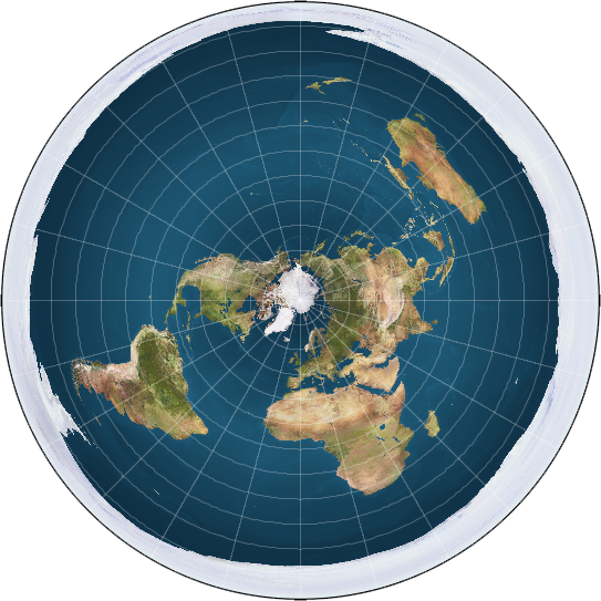
Using GPS in-flight to track yourself on the globe ( Flat-earthers will hate me :))
Were you ever curious to see where you are or what those rock formations you see on the windows actually are but didn't have or didn't like to use the slow screens in the aircraft? Or you simply wanted to have the same information as the pilots do?
As an aviation geek I found a way to get to that information even while in Flight Mode.
This is an android guide but I am sure alternatives are out there for any OS
While on ground:
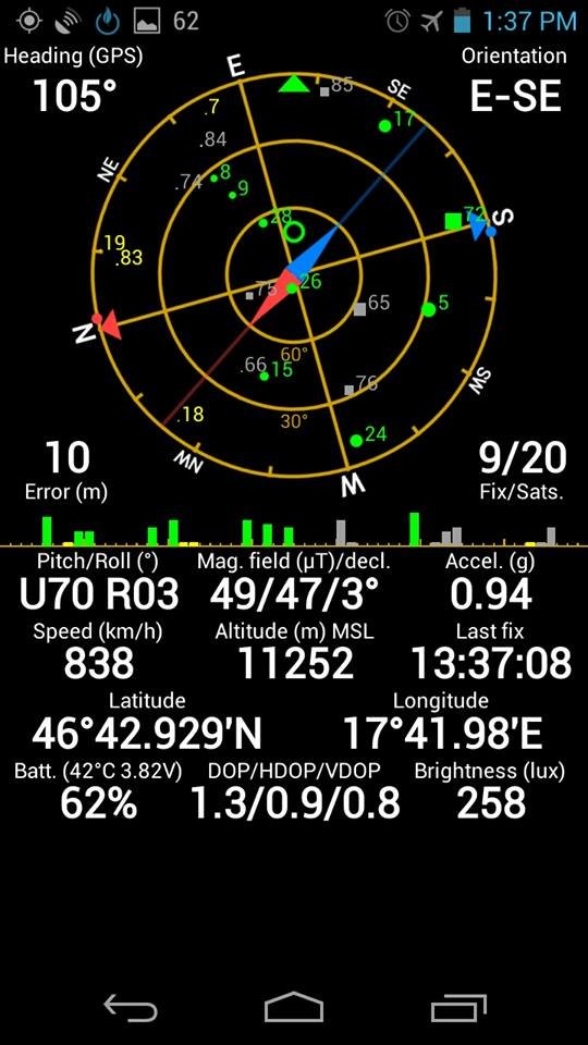
- Download and install GPS Status. Is is free and reads data from the senors of the phone
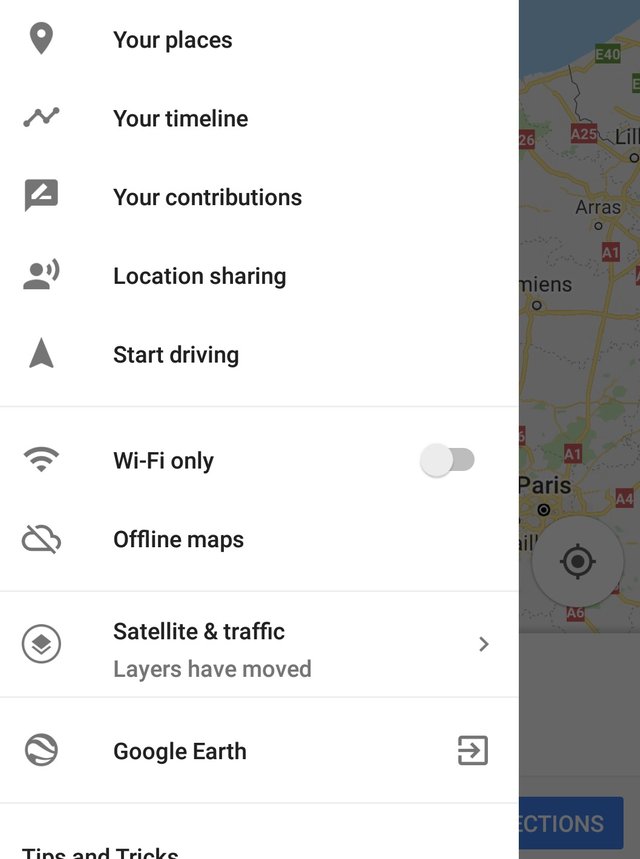
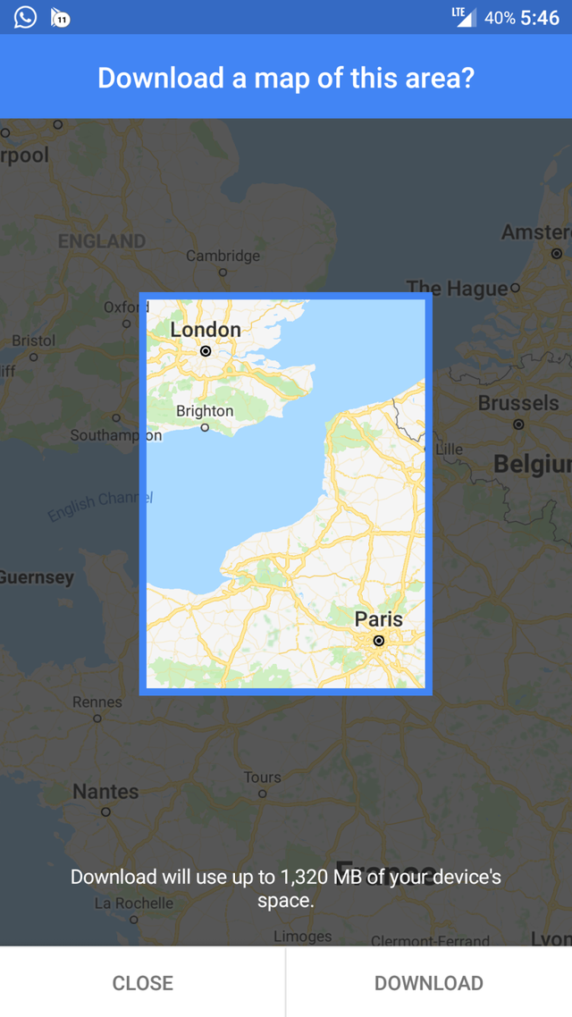
- Download Maps from Google. In the left you have the offline maps menu and then "select your own map". Get the approximate flying path inside that container and click download.
While flying:
- Turn on GPS and make sure you are seated at the window ( after all you want to spot things ). This also helps the GPS get a fix.
- Open Google Maps and voila! you show up above your GPS location. You can then watch out the window and corroborate the shapes with the info to get a better understanding of where you really are.
- Open GPS Status and place the phone on the tray.The tray is designed to be level while in flight so you can monitor the flight data.
- Switch between the apps to entertain yourself more than the in-flight entertainment systems :D
What data is available:
- Pitch and Roll
- Heading and Orientation
- Acceleration in g's ( both from GPS and Accelerometer )
- Speed ( metric and imperial )
- Altitude ( both from GPS or Barometer if your phone supports )
- Latitude and Longitude
- Brightness ( make a note how much more brighter is the sun at cruise level vs ground - because of the ozone protection layer)
- Sat positions and compass
How does it work and why does it not affect the flight?
The GPS module works by receiving signals from the satellite and comparing their time in nanoseconds to the local time of the device. A little difference might tell it how far it is from each satellite and it can tell you your position using triangulation. Triangulation makes sure that there is only one position you could be in which the distances to the satellites is the one measured.
Therefore the GPS works in Flight Mode since there is no radio signal leaving the device. By downloading the maps before, you can be pinpointed without any data actually leaving the device.
Is Flight Mode really going to bring the plane down?
There is no data that any usual electronic device may interfere with the flight systems but the airlines chose to be on the safe side. You will get no reception there anyway so the device will power up it's antenna using much power to get a cell tower fix which causes battery depletion. Even if you get a GSM signal, because you are above the antenna and move at great speed you will switch between antennas so fast that a call could not be maintained for more than a few seconds. So don't risk it.

try this method and look out the window. And ask yourself why from Rio to Sydney you don't see any of North America or the North Pole :D
Other aviation articles:
https://steemit.com/aviation/@alexdory/air-traffic-controllers-aviation-series


good post - useful information
Thank you for following me. I too follow you
Join us Discord at this link: https://discord.gg/egsD9j

vincent upvote baby