GIS and it's importance to civil engineering
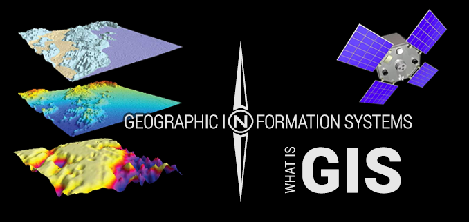
Geographic information system(GIS) is a system designed for capturing, storing, manipulating, analyzing, management and presentation of all types of geographic data.
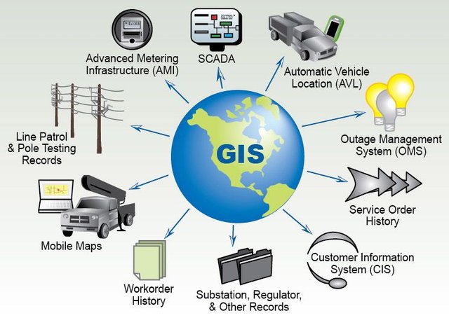
Geographic information system has found application in almost all fields of study and it's an important tool that is enhancing these fields. Geographic information systems links different aspects of engineering projects such as emergency planning, history and even geology a specific point on a map. GIS is beneficial in almost every organization or industry and of recent there has been great awareness of the economic importance of GIS . GIS is a precise analysis tool and it's output is only as accurate as what you input into it
BRIEF HISTORY OF GIS
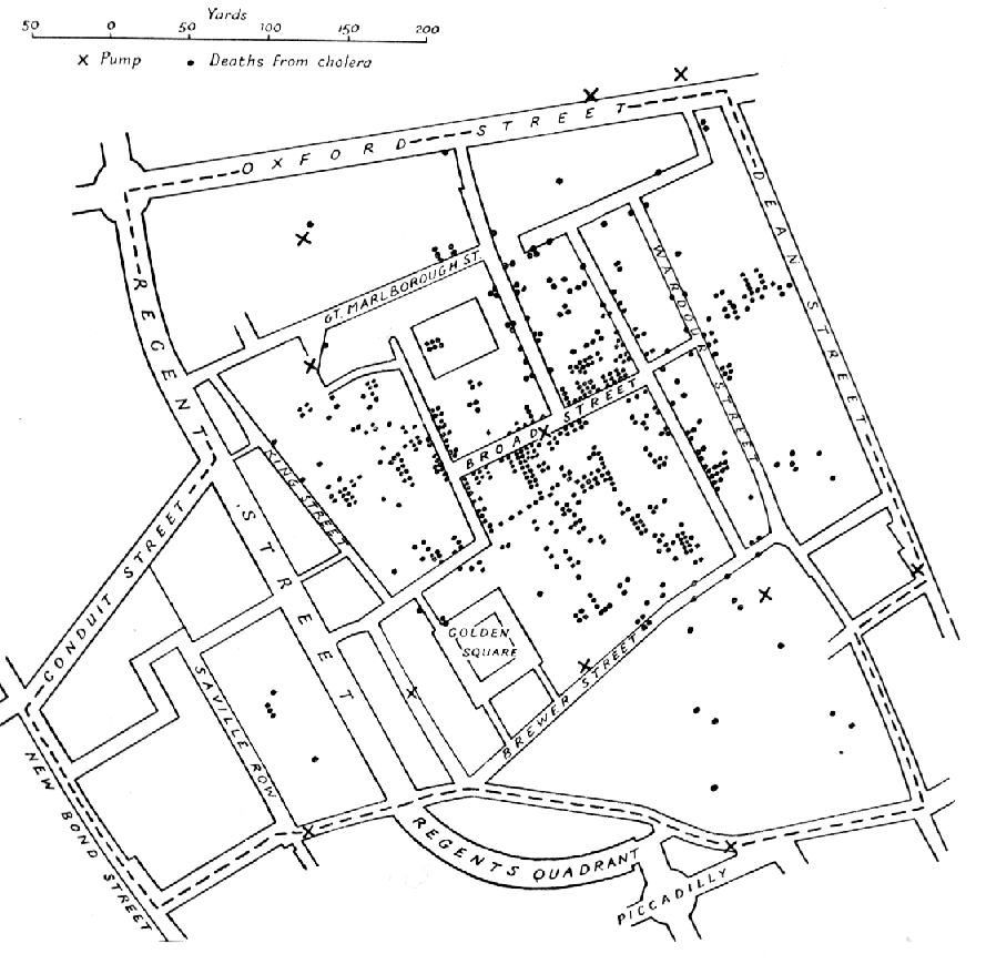
The basic idea surrounding GIS was first used in an epidermic outbreak in 1854. During that period there was an outbreak of cholera in London and an English physician named John Snow used different points to represent the various locations of some individual cases. I know when some of you saw the name John Snow the first thing that came to mind was the Game Of thrones Character lol .
This historical event led to the usage of spatial data for planning and analysis in different fields of study. However the term GIS was first used by Roger Tomlinson in 1968 in his paper titled
A geographical information system for regional planning
This image is E.W. Gilbert's version of John Snow's 1855 maps showing the clusters of cholera in the 1854 london outbreak
APPLICATION IN CIVIL ENGINEERING
Being a civil engineering student I was thought about GIS and how important it is to my field of study. The lecturer placed so much emphasis on it and we even had to carry out projects on it. It was fascinating learning about this technology and how it has improved the field of civil engineering and it's only wise that I educate others about this and also in the process educate myself. Hopefully readers will find this article educative and make reference to it anytime the need arises.
GIS plays an important role in infrastructure development which is basically what civil engineering is all about. Many engineers are now seeking the aid of GIS for the development of their work. GIS aids infrastructure development in the following ways
Planning ; GIS helps in organizing sets of data which helps the engineer resolve various scenarios relating to the selection, study of eco system, routing of roads, environmental impacts etc.
Data collection ; GIS has all the various tools and functions that helps it users to quickly access required data. For any engineering project to be successful, the engineers must have and work with precise and accurate data.
Analysis ; the importance of analysis in infrastructure development cannot be over emphasized. It helps in validating a design before further actions can be taken. There are various analysis carried out by GIS such as soil analysis, water distribution analysis, environmental impact analysis etc.
Construction ; in this stage all the plans and paperwork designs have been made physical, I.e they have been constructed. The GIS gives the engineers an understanding of the schedule baseline and cost baseline, simply put the GIS helps the engineers to maintain their construction works within available budget at the scheduled time. In this phase, GIS performs the function of calculation of volumes and areas of constructed phase, helping in estimation and valuation, optimizing routes for dumpers and concrete trucks etc.
ADVANTAGES OF GIS
Traditionally before the advent of GIS, engineering drawings and project plans containing informations are passed along from one engineer to the other, an engineer to his client or government agencies. Before you can get access to a particular data you would have to go through the stress of checking different places but with GIS authorized users can access data on a database from anywhere with ease.
GIS helps the engineer in saving money as the engineer no longer have to acquire tools to store data in hard copies and also building storage houses. All the engineer has to do now is to log in to a database.
GIS uses a geographic approach to everything. Every event on earth can be linked to geography because it involves locations, so if you know the particular location an event occurred , GIS can help you analyze the information you seek with conditions that you must have to identify the data and enter it into the GIS database.
GIS helps in better decision making regarding locations
GIS ANALYSIS PROCESS
There are five basic analysis process involved in using a Geographic information system. These five steps are:
Frame the question; this is the first step and it helps to determine what GIS tool is to be used. It's just a simple process. How you frame your question dictates the GIS tools and methods you will use.
Explore and prepare data; this step should be the most tedious because in this phase you have to prepare all the data needed for the analysis. You have to get your data from the right and best sources, you also have to explore your data to determine if it is suitable for the analysis project embarked on. In this phase you also decide your data format and verify that your analysis tool accepts it.
Choose analysis methods and tools; this has to depend of the frame of the question , as said before the frame of the question will determine which tool to use.
Perform the analysis; to do this you create a model and run different scenarios
Examine results; this is the process of checking the result for accuracy.
GIS is said to be the foundation of next generation civil engineering and it's the driving force for the development of all sectors.
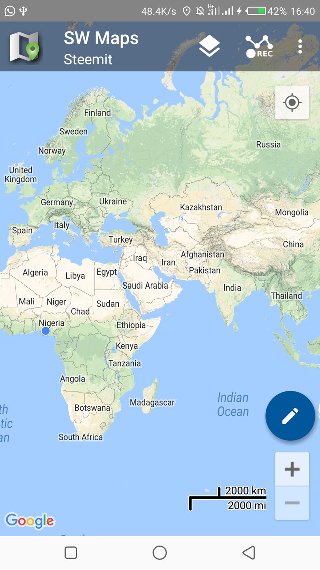
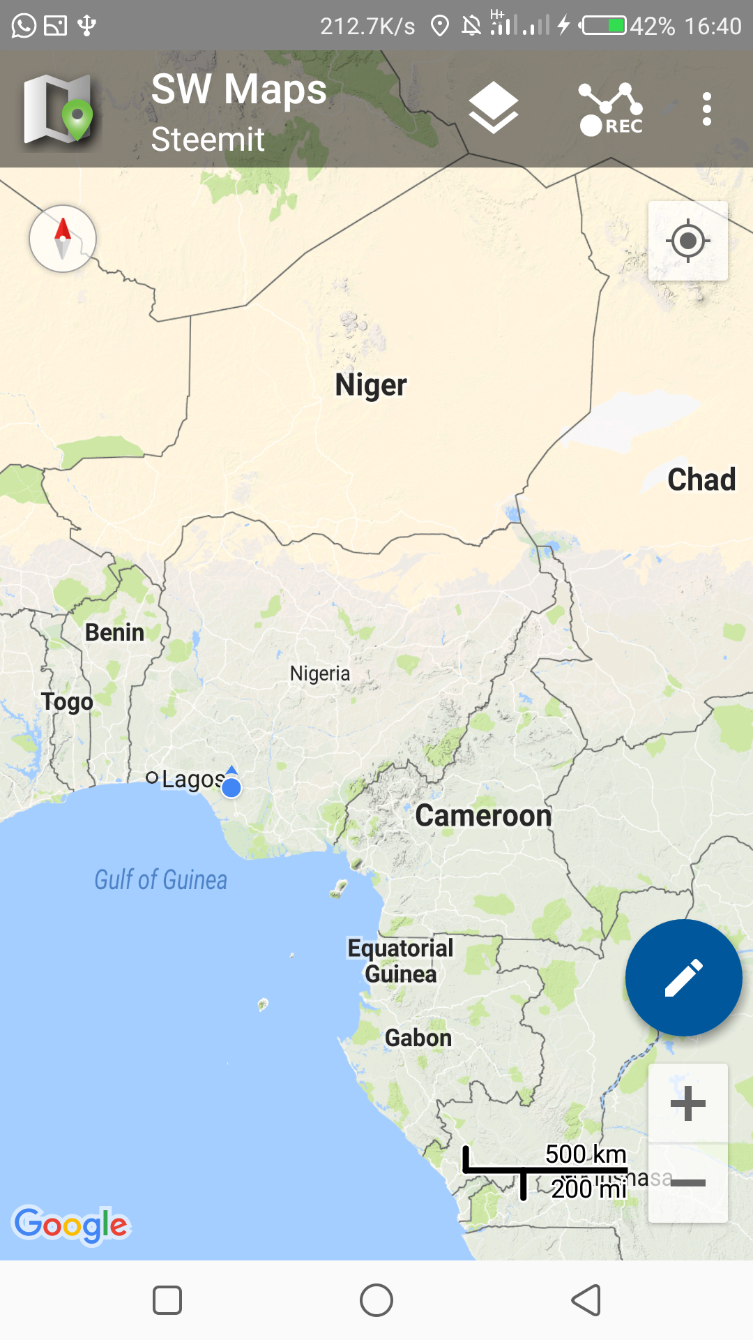
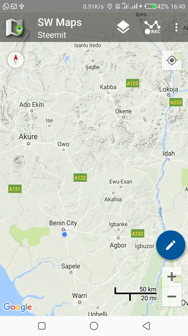
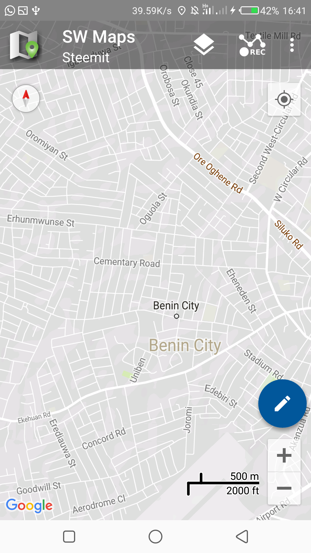
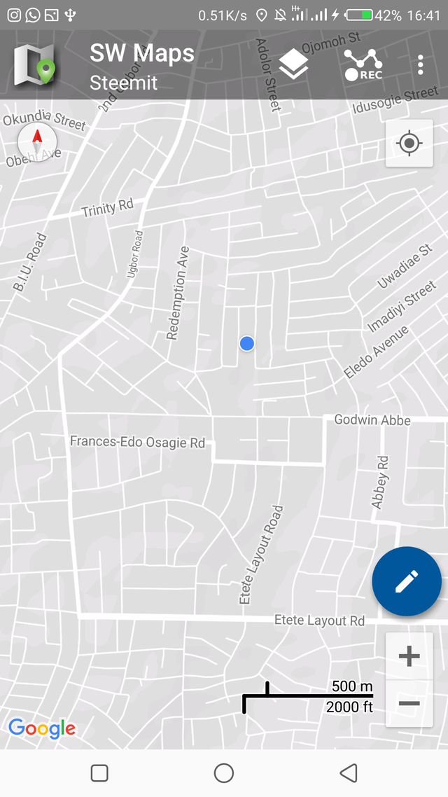
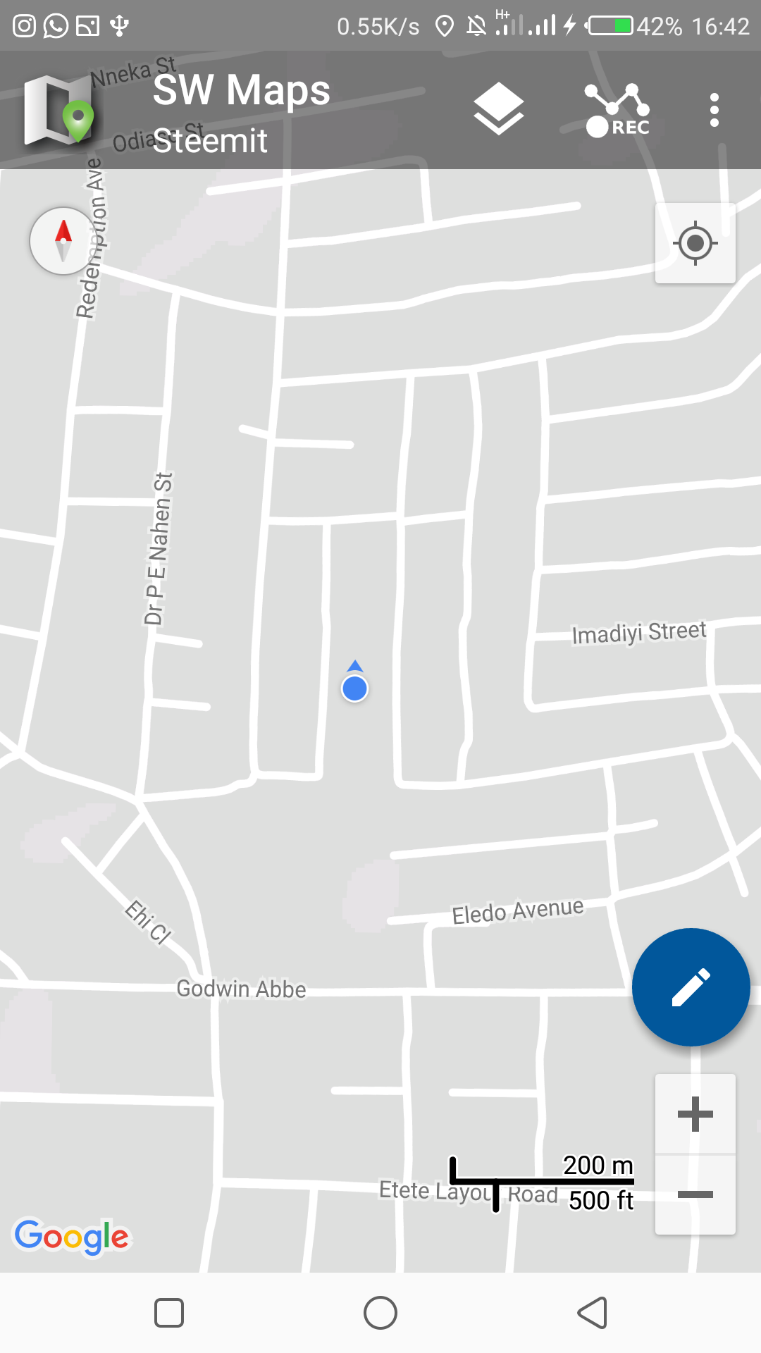
Below are Images that shows the basic use of GIS as I used a mobile app to pinpoint my exact location.
The blue pointer showing on the map indicates my location. This apps makes use of various GIS softwares, hardwares and data that has been made available to perform it's fuction. There are other complex tasks the GIS is capable of executing of course, this is just the basics.
.jpg)
Great write up. But does it mean that GIS is applied to GPS
I'll say it uses GPS to function
GIS can be applied to all areas of life, this is a good read. Knowledge of GIS in Civil Engineering and Surveying is highly important.
Wow.. standard information. Top notch and very educating! I’ve always heard about the GIS but thanks to your post, I’ve acquired a lot more about the system. Thanks for sharing
Good.
Am happy to see you guys educate others.
Great post on GIS
Nice post....thanks for sharing
GIS is stepping up!
A kind of GIS i have seen personally is the googlemaps 360
You can actually view a place all around 360
Not real time though
The GIS is quite helpful in engineering.
Very informative. Thanks for sharing.
Hello, your post was nominated for an upvote by a fellow within the Sndbox incubator. Thank you for sharing your work with GIS and applications to civil engineering @langford! (Those Snow 1855 maps are fascinating too.) Steem on :)
Thanks @sndbox for the upvote I'm really greatful