Evolution of plains
Plains are large stretches of flat or undulating land with low relief. On the basis of overall elevation, we have low plains which are generally below 200meters above sea level and high plains which are higher than the low plains but generally not exceeding 600meters above sea level. On the basis of origin and mode of formation, plains are of three types:
structural plains
erosional plains
depositional plains
Structural plains are formed as a result of sedimentary rock layers laid down horizontally which remain virtually undisturbed by earth movements. They are structurally depressed and make up some of the most extensive lowlands on the surface of the earth. The very extensive plains of the world, like the great plains of the USA, the Russian platform and the central lowland plains of Austrailia are formed this way.
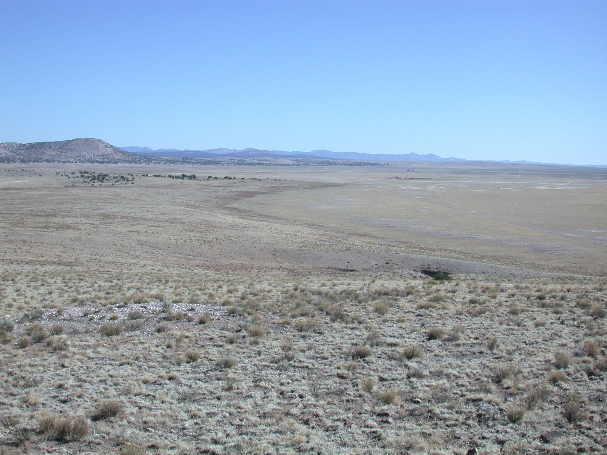
Credit
a structural plain may also be formed by the uplift of the shallow sea floor at the continental margins, leading to a drop in the sea level to expose the sea floor. The coastal plain of Mozambique is an example.
- Erosional plains: agents of denudation may reduce a once rugged landform to a level or near surface level called erosional plain, but also referred to as planation surface. It is called peneplain when running water is responsible and desert pavement or reg desert when desert winds erode the surface and peneplain. when it is a formed as a result of downcutting rivers and lateral retreat of slope and hill high plains are formed.
plains may also be cut by ice sheets or waves. structures formed by the movement of ice from highland areas to low land. Slow and continuous glacial movement takes place over time to cause sizable erosive work to produce a glacial plain. There are two types of glacial structures (a) true glacial plains, formed of pure glacial material and (b)outwash plains, formed from deposition of earth materials such as sand, marl, gravel, silt & clay after the ablation (melting) of glaciers and ice sheets. The Laurentian Shield of Canada and the plains of FInland are bothexamples of plains cut by huge ice sheets, while the Strand-flat of Norway in Europe is a typical example of wave or marine cut platform.
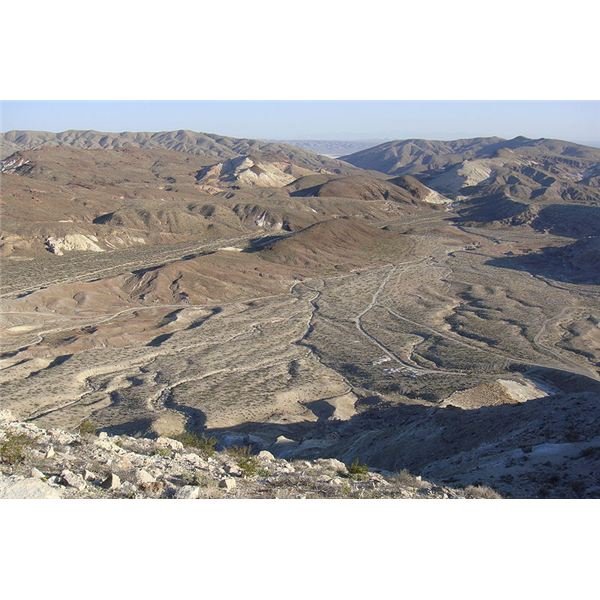
fluvial eroded plain
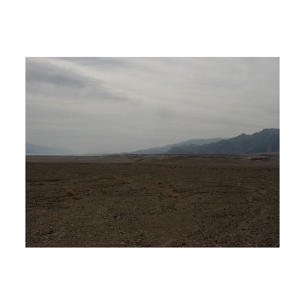
wind eroded plain
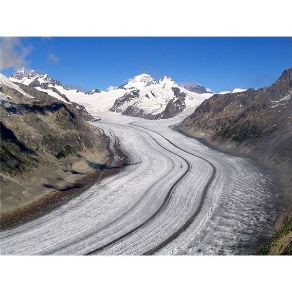
glacial eroded plain
Depositional Plains: as the name implies, these are plains produced when materials are deposited to cover an original surface which may have been rugged or irregular.
Rivers deposit alluvium in their valleys to form an extensive floodplains such as the floodplains of the Mississippi in the USA.
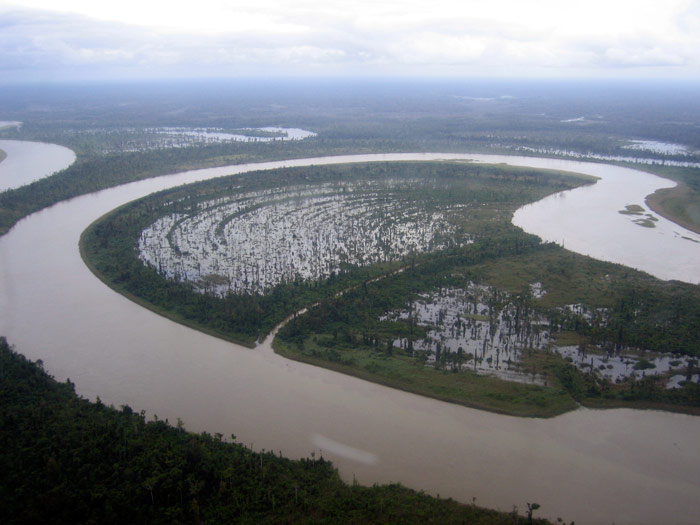
Credit
When the deposits are laid down in a lake, the lake may fill up either completely or partially, therefore exposing its wide level floor called lacustrine plain. An example is the inland Delta plain of the River Niger in Mali which now occupies where Lake Agassiz once existed.
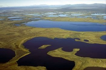
Credit
When a river deposits its alluvium into a calm and tideless sea, a delta plain is formed like that of River Niger or Nile Delta.

Credit
Sand dune plains are built up when desert winds deposit sand particles which they carry from the reg to a nearby region. This forms a sea of sand otherwise known as erg desert. An accumulation over many years of these fine materials called loess plain. The loess plains of China is an example.
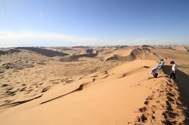
Credit
Reference
http://www.brighthub.com/environment/science-environmental/articles/112205.aspx
http://www.thehansindia.com/posts/index/2015-03-26/Types-of-plains-139885
http://www.edu.pe.ca/southernkings/plainmr.htm
www.cssforum.com.pk/css-optional-subjects/group-vii/geography/14104-geography-one-landforms.html

Thank you, this is actually informative and I learnt something new .. My favourite is the glacial eroded plain
I was a little confused initially as I have been reading it "planes" ✈️ for the whole introduction
You received a 10.0% upvote since you are not yet a member of geopolis.
To read more about us and what we do, click here.
https://steemit.com/geopolis/@geopolis/geopolis-the-community-for-global-sciences-update-2-higher-base-votes-new-logo
If you do not want us to upvote and comment on your posts concerning earth and earth sciences, please reply stop to this comment and we will no longer bother you with our love ❤️
Beautiful photos and information. Well formatted and written. Thank you for this piece and the hard work. Very nice.
Thanks.
You're welcome.