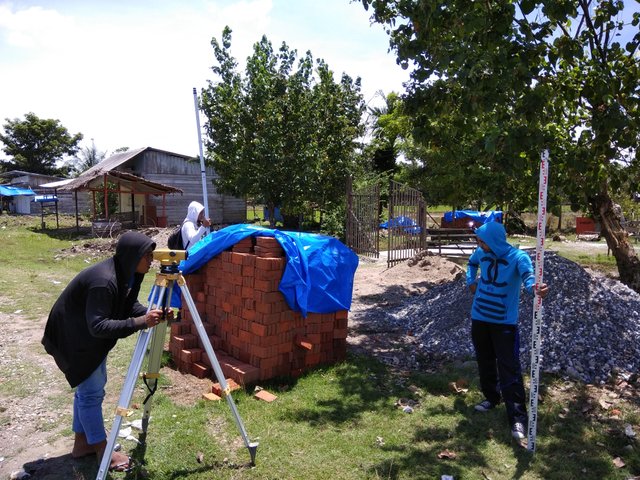
About waterpass
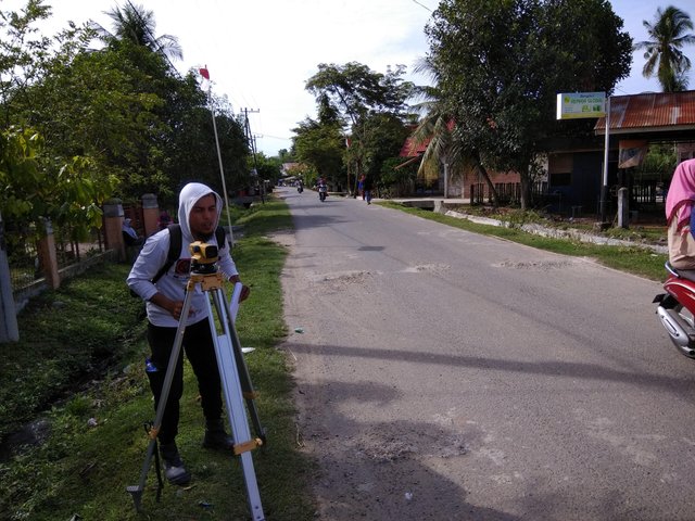
Waterpass is a tool used to measure the height difference of a point location with another location based on a known point. Usually used for checking the building's initial elevation, base elevation and top level of a job. Waterpass is the most accurate tool for determining elevation compared to theodolite and total station. This is because the elevation readings on the waterpass use 90 degree vertical angle without being able to change.
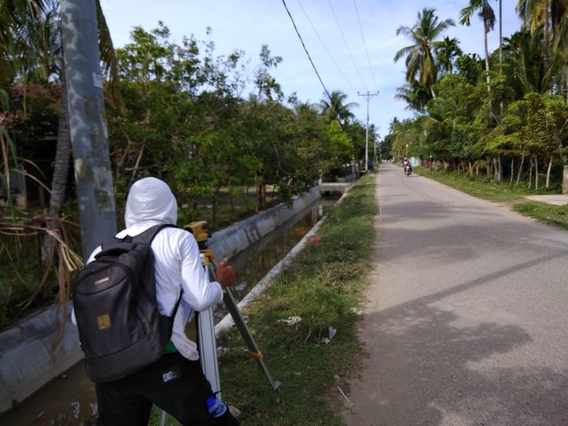
Survey of drainage at cluster 3 mobil oil matang kuli north aceh
Regard @abumuhammad
Thanks for providing useful knowledge .
Thanks for the knowledge, good luck and useful...