Broken Ridge and Diamantina Trench Sea Dated on earth
Hallo all steemian friends.Hallo all steemian friends. In this post I want to discuss about broken ridge and diamantina trench. this is a sea area located in the Indian Ocean. A detailed map of the seafloor was created during the search period of the MH370 aircraft. a most expensive and longest search in aviation history is not in vain. How did it happen? what is special about the seabed map. okay we will answer it one by one.
What's Broken Ridge
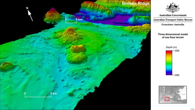
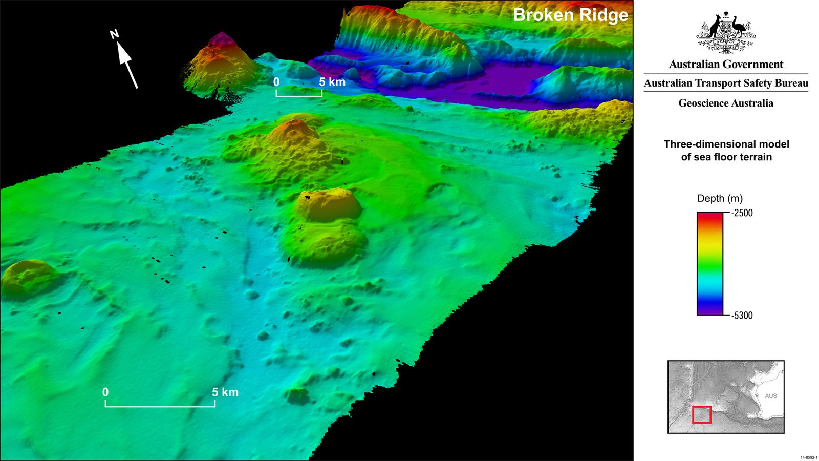
Source Image)- Image of Broken Ridge
Broken Ridge or Broken Plateau is a highland ocean in the southeast Indian Ocean. Broken Ridge once formed a large frozen province (LIP) along with the Kerguelen Plateau. As Australia and Antarctica began to separate, Broken Ridge and the Kerguelen Plateau were separated by the South Indian Ridge. The alkaline basalt from Broken Ridge has been dated 95 Ma. [1]
Broken Ridge stretches 1,200 km (750 miles) from the southern tip of Ninety East Ridge to the southwest corner of Australia. The extent reaches 400 km (250 miles) and reaches 1,000 m (3,300 feet) below sea level. It is separated from the Diamantina Fault Zone on its southern side with a cliff of 3,000 m (9,800 ft), while on the north side of the hill slopes gently toward the Whyson Basin. The sediment cover on the ridge reaches 800 m (2,600 ft) and Moho is found about 20 km (12 miles).[1]
What's Diamantina Trench

Source Image- Image of Diamantina Trench
The Diamantina Deep is located in Diamantina Trench southwest of Perth, Western Australia. Diamantina Trench is in the eastern zone of the larger Diamantina Fault Zone, which extends from the Ninety Nine to the Naturalist Plateau, located at the bottom of the Southwest Australia. This is the deepest point in the Indian Ocean at 8,047 m (26,401 ft). Located about 1,125 km west-southwest of Perth at 35 ° S and 104 ° east. [2]
A survey in 1961 by the Australian oceanographic survey vessel HMAS Diamantina (K377) confirmed bathymetry and conducted a scientific survey. The ditch is named after him.[2]
so diamantina is the deepest marine ravine in the Indian Ocean.
what is gained from research costly and time it was?
Charita Pattiaratchi, professor of maritime at the University of Western Australia, said the information obtained during a survey of Australia's remote 120,000 square kilometers of Australian remote waters would provide a deeper understanding for fishermen, oceanographers and geologists. [3]
Published online by Geoscience Australia, the data contains not only three-dimensional models of undersea surface, but also bathymetric survey shift analysis information.[3]
To Reuters July 19, 2017, Pattiaratchi said that the data shows the locations of the seafloor that will attract the attention of deep sea fishermen. The reason, a rich sea of plankton is a place for gathering of expensive fish such as tuna, toothfish, alfonsino, and trevally.[3
In addition, the location data of the seafloor can also be used to estimate the true impact of the tsunami, given that the oceanic mountains can reduce tsunami energy, and deepen our knowledge of the continent of Gondwana.[3]
How did the Fishermen respond?
In response to the data, Martin Exel, a deep-sea fisherman with Austral Fisheries, said seeing how this outcome of the MH370 tragedy is amazing. From a fisherman's perspective, this data will be very meaningful information..[3]
However, Exel is not convinced that this data will keep the fishermen flocking to it. According to him, the cost and difficulty level for fishing in these waters will be a challenge in itself..[3]
How did the Scientists respond?
Stuart Minchin, chair of the environmental geology science division at Geoscience Australia, said at the moment, that remote area has become one of the most well-known deepwater waters on earth.[3]
"It is estimated that only 10 to 15 percent of the world's seas have been surveyed with such technology in MH370 search," he said.[3]
look at this video
Conclusion
this huge and costly research is a breakthrough and new data about our knowledge of the undersea mountain. further research on this area has the potential to be done for the development of science so that we can estimate the impact of the actual tsunami and become a source of life for the fishermen.
Thank You For Reading!
I hope this discovery is useful for you and hope you enjoy my post. Do not hesitate to comment, because I will try to answer it as best I can. how is your response?
mystery of earth while the science in every sector to reveal those mystery.
nature is something that will never run out to be learned