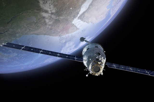
Watchers in Space - Satellites in space are too small and high for you to see them, but they can see you—and it is amazing what they can reveal.
From the invisible movement of disease across a field of crops to your boots being moved to a different place on your doorstep, satellites can spot it.
Spy Satellites
The most secret satellites are military surveillance satellites, such as the American Keyhole satellites and Lacrosse/Onyx satellites. These satellites keep track of army movements and terrorist activity. They can receive signals from secret agents’ transmitters and even send coded messages.
Soon, spy satellites will be able to continuously track the movement of something as small as a mouse from high up in space.
Early warning satellites use infrared sensors to detect a nuclear missile’s hot exhaust just seconds after it is launched.
Listening devices allow satellites to pick up any signal traveling through the air on the ground, such as a radio message or a cell phone call.
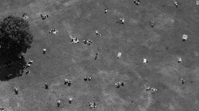
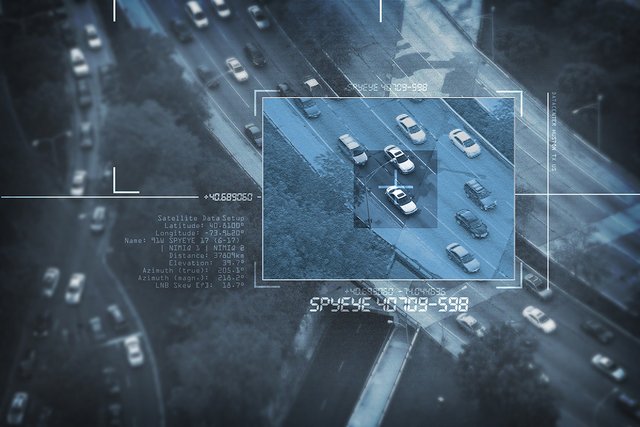
The latest US Ikon/Keyhole spy satellites can photograph the smallest area. Some have cameras that can read tiny details, such as a book cover or a car’s license plate.
The three US PARCAE satellites can track the position, speed, and direction of any ship anywhere in the world. They do this by picking up on the signals each ship gives off, including radio and navigation signals. Missiles fired from the other side of the world can also be guided to their targets by these satellites.
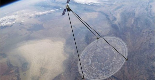
Satellites use a special kind of radar called Synthetic Aperture Radar to enable them to take detailed pictures through clouds and at night.
Thermal imaging cameras on board satellites can detect heat sources—whether it is the warm body of a person hiding in a hut, or the small amount of heat emanating from a camouflaged target or underground bunker.
American spy satellites are controlled by the ELectronic INTelligence (ELINT) system, which is monitored by a little-known government agency called the NGA (National Geospatial-Intelligence Agency).
Earth Watchers
It’s not just spy satellites that reveal extraordinary things. Satellites can identify whether a field is planted with wheat, oats, cotton, or corn by reading each crop’s “spectral signature”—the wavelength of light each type of plant reflects back into the atmosphere. Satellites can also warn of the spread of disease or pests attacking the fields.
Satellites can track large fires, wildlife tagged with radio transmitters, glaciers breaking into icebergs, and changes in the size of the hole in the ozone layer.
NASA’s Aqua satellite can detect moisture in the soil and, as a result, inform farmers when crops need watering or when the soil is ready for planting.
The TOPEX/Poseidon satellite can measure miniscule variations in the depth of the oceans. This amazing level of accuracy was used to reveal hidden mountains on the seabed. Using this technology, scientists could create a complete map of the ocean floor.
Satellites can chart the meanderings of the Gulf Stream and other currents affecting the weather and climate.
Satellite images can be used to search for petroleum deposits, to plot ancient stream beds in the desert, to identify earthquake-prone areas, and to search for shipwrecks on the ocean floor.
The pull of gravity varies slightly over Earth. The GRACE satellite can detect these variations with astonishing accuracy, revealing a lot about Earth’s oceans and hidden interior. For instance, it could track the movement of molten rock far below the water’s surface.
Satellite pictures help us gauge how human activities are affecting the planet by documenting the destruction of rainforests, monitoring water temperatures in the ocean, and measuring the warming of Earth’s atmosphere.
Satellites reveal geology and landforms, as well as where oil or minerals may be. Copper, nickel, zinc, and uranium deposits have been found in the United States in this way. Satellites have also revealed tin in Brazil and copper in Mexico.
Weather satellites record cloud patterns and movements, which can help predict storms. They also measure temperature, atmospheric moisture, air pressure, rainfall, and snowfall.


This post was resteemed by @steemitrobot!
Good Luck!
The @steemitrobot users are a small but growing community.
Check out the other resteemed posts in steemitrobot's feed.
Some of them are truly great. Please upvote this comment for helping me grow.
I enjoyed your post! Thanks.
Thank you @kylo, for reading
You are very welcome!