Sailwithme along "E6": Hermanö, Gullholmen and Lysekil (and up through Sotenkanalen)
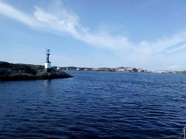
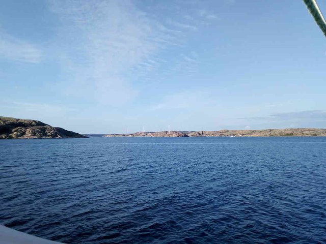
Here is a seamap with Hermanö/Gullhomen in the south of the map, and Lysekil in north. On the way one passes Islandsberg, I forgot to take a photo, but this is considered to be one of the rough spots on the trip. Outside Islandsberg there is a station that measures the wave height.
I promise, there aren't many photo dumps left ... because I've lost my phone on the sea. In addition to this post, I have photos from Hamburgsund and Havstenssund, the rest is at the bottom of the sea. Well, I do have 281 photos of Hamburgssund and Havstenssund ... but first ... maybe around 300 photos of Hermanö, Gullholmen and Lysekil. Well, I've distilled it down to 36 ...
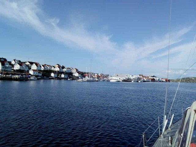
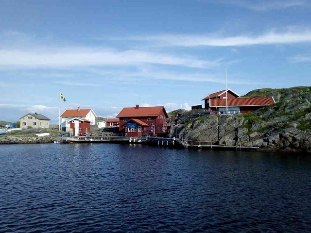
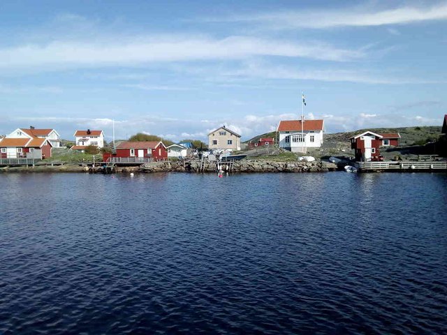
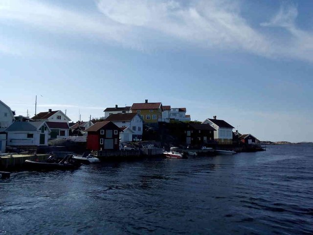
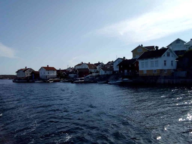
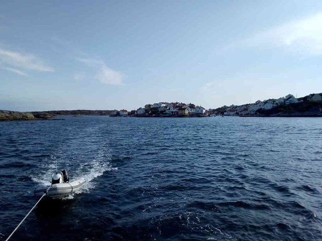
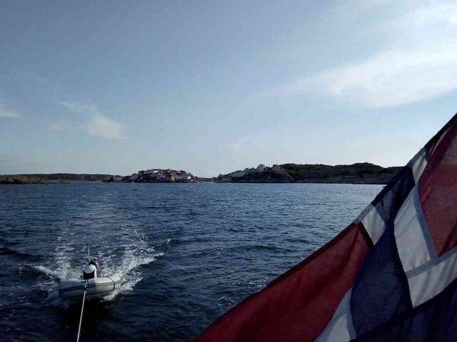
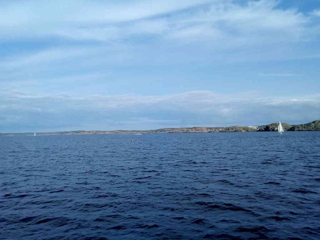
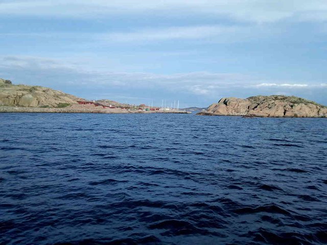
Hermanö and Gullholmen
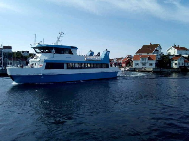
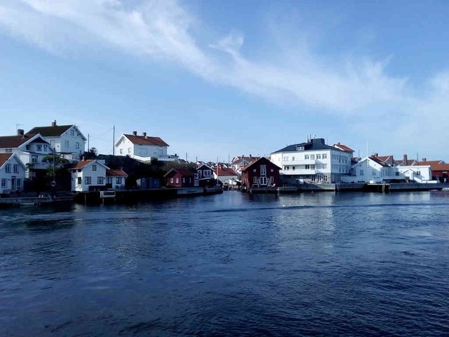
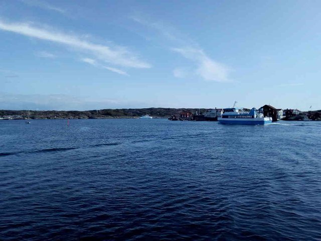
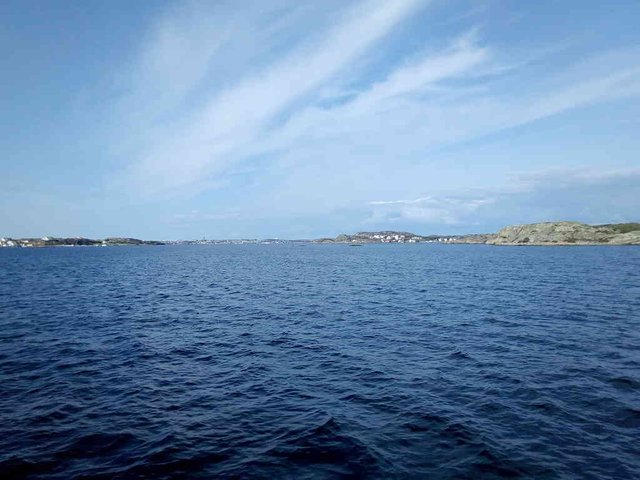
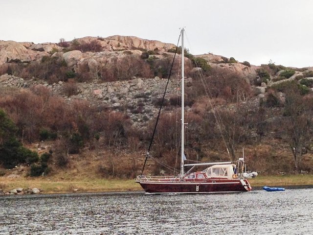
This is really one settlement - divided by a small sound and connected by a short bridge. Gullholmen (Gullholmen at Swedish Wikipedia) is a small island apparently completely covered with buildings. It's connected by a short bridge to the bigger island Hermanö, I suppose the village Gullholmen outgrew the small island and spilled over to the bigger island. I think this is one of the most beutiful settlements I'm passing on my way - perhaps because I never stopped there and checked how it looks from the land side? As with most other significant villages on the port side (there aren't many of them!), it does not have any land connection, it's not connected to the mainland with any bridges, only possible to get there by ferries and private boats. I do not know if any of the ferries going there take cars or if they only take passengers - but probably the latter, since I haven't seen any cars when passing, and since there seems to be no significant road network on the map. From what I can see on the photos on Wikipedia, the bridge is also clearly a pedestrian bridge. I really should stop here one day and have a look on how things are from land. Not much to say, except enjoy the photos ...
position: geo:58.168548,11.40347 (geohack) - 2018-09-01 16:26:32 localtime - full quality
position: geo:58.174999,11.404919 (geohack) - 2018-09-01 16:31:27 localtime - full quality
position: geo:58.175216,11.404943 (geohack) - 2018-09-01 16:31:37 localtime - full quality
position: geo:58.175281,11.404973 (geohack) - 2018-09-01 16:31:39 localtime - full quality
position: geo:58.175537,11.405139 (geohack) - 2018-09-01 16:31:53 localtime - full quality
position: geo:58.176342,11.405751 (geohack) - 2018-09-01 16:32:30 localtime - full quality
position: geo:58.176864,11.405956 (geohack) - 2018-09-01 16:32:52 localtime - full quality
position: geo:58.176959,11.405918 (geohack) - 2018-09-01 16:33:27 localtime - full quality
position: geo:58.177791,11.406463 (geohack) - 2018-09-01 16:33:34 localtime - full quality
position: geo:58.178108,11.406718 (geohack) - 2018-09-01 16:33:47 localtime - full quality
position: geo:58.17847,11.407003 (geohack) - 2018-09-01 16:34:06 localtime - full quality
position: geo:58.180515,11.406698 (geohack) - 2018-09-01 16:36:43 localtime - full quality
position: geo:58.180702,11.407191 (geohack) - 2018-09-01 16:37:00 localtime - full quality
position: geo:58.180786,11.407144 (geohack) - 2018-09-01 16:37:02 localtime - full quality
position: geo:58.18169,11.406581 (geohack) - 2018-09-01 16:37:48 localtime - full quality
position: geo:58.181831,11.406457 (geohack) - 2018-09-01 16:37:57 localtime - full quality
position: geo:58.184322,11.405467 (geohack) - 2018-09-01 16:39:51 localtime - full quality
position: geo:58.185909,11.405135 (geohack) - 2018-09-01 16:41:08 localtime - full quality
position: geo:58.187961,11.404381 (geohack) - 2018-09-01 16:42:43 localtime - full quality
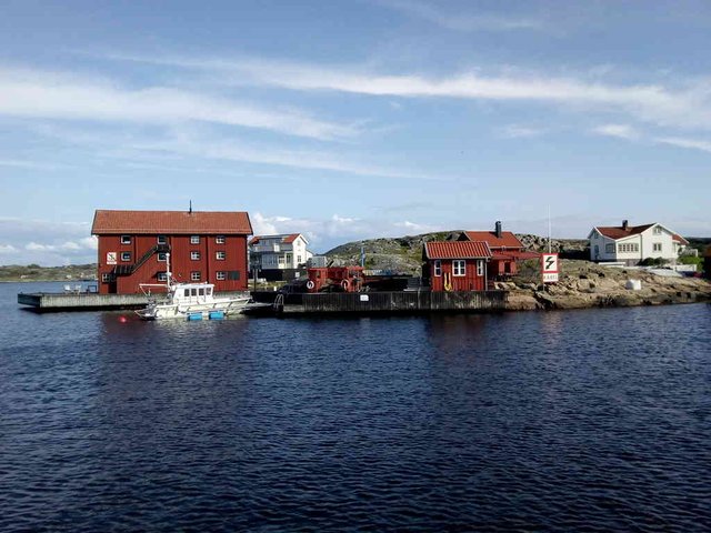
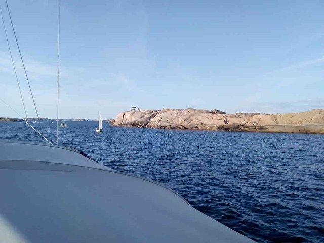
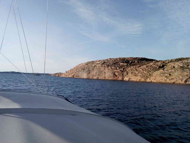
Grundsund
I think the wooden walkway along the coast looks quite inviting, and indeed there were several people walking there. From the outside it doesn't show at all, but according to the map there is actually a sound between two island on the backside of the breakwater.
position: geo:58.217636,11.408111 (geohack) - 2018-09-01 17:05:15 localtime - full quality
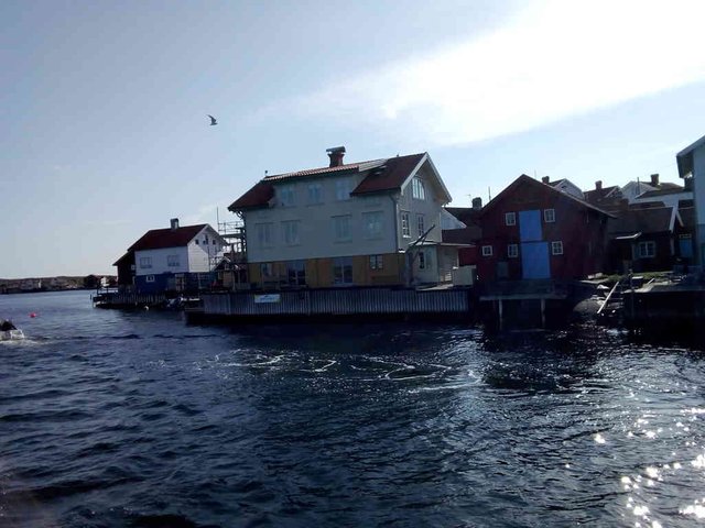
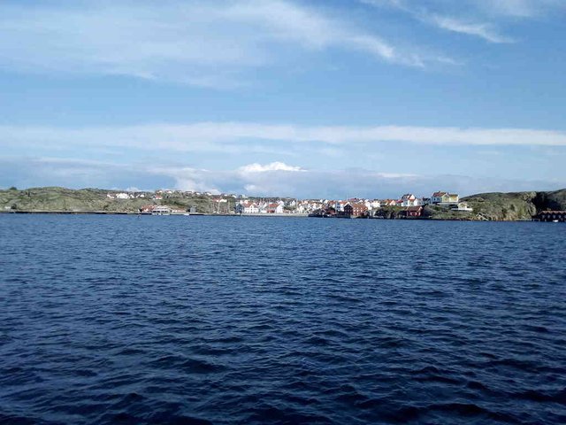
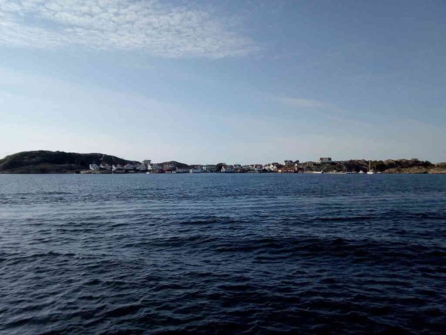
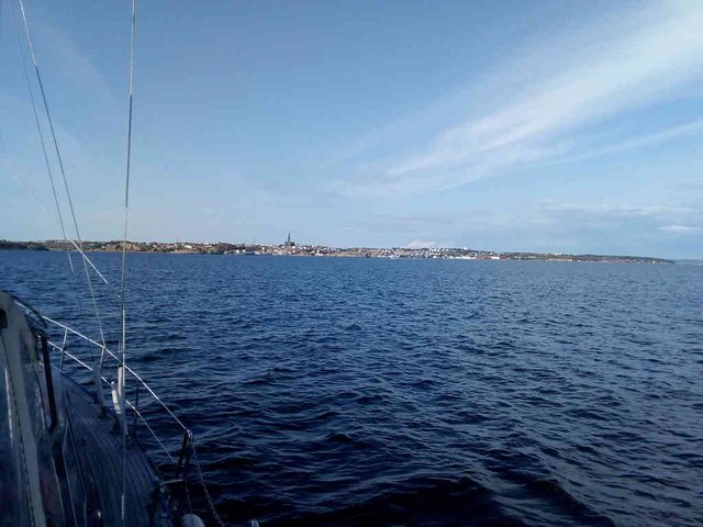
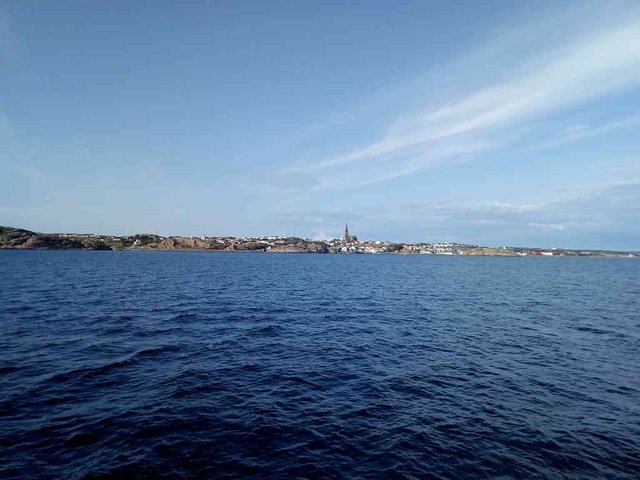
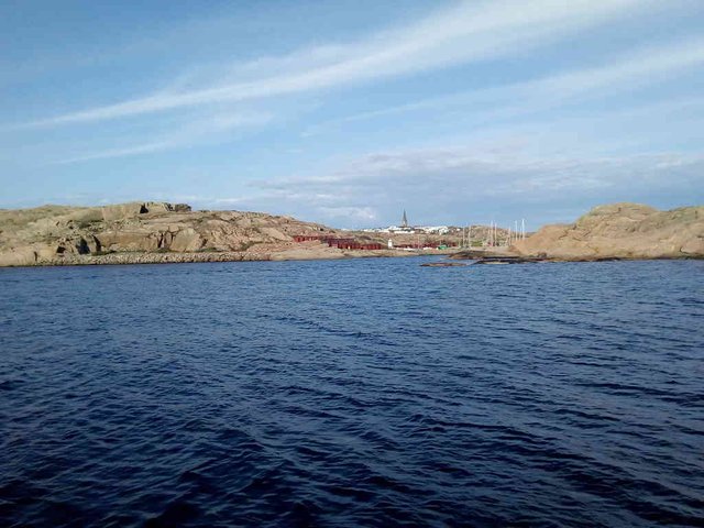
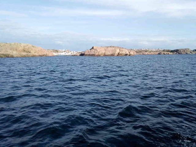
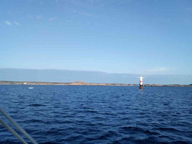
Lysekil
Just like Gullholmen, I've never stopped in Lysekil (Lysekil on Swedish Wikipedia). I was recommended not to go there by a Swede, he could recommend a lot of places, but in Lysekil there was nothing to see he wrote. This was in the very end of 2014, and he added ... "and in the winter time, it's completely dead".
The church is a landmark, it can be seen on a big distance. I think it's mostly because of the church, it seems like a charming place from the sea. To see the church on this first photo, you will most likely need to press the button for "full quality".
position: geo:58.222663,11.410988 (geohack) - 2018-09-01 17:09:00 localtime - full quality
Stockevik
position: geo:58.230464,11.415394 (geohack) - 2018-09-01 17:15:12 localtime - full quality
Now the church is more visible.
position: geo:58.253997,11.428823 (geohack) - 2018-09-01 17:33:22 localtime - full quality
This is the closest we got
position: geo:58.270915,11.429086 (geohack) - 2018-09-01 17:38:32 localtime - full quality
position: geo:58.254058,11.428756 (geohack) - 2018-09-01 17:33:27 localtime - full quality
position: geo:58.261089,11.422271 (geohack) - 2018-09-01 17:39:30 localtime - full quality
position: geo:58.266174,11.416633 (geohack) - 2018-09-01 17:44:03 localtime - full quality
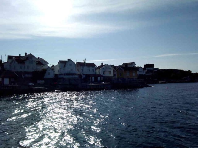
Now we're at the south side of Lysekil. Same church, different angle, different port.
position: geo:58.267082,11.415617 (geohack) - 2018-09-01 17:44:50 localtime - full quality
Same place, but now the church is gone ... hiding behind the rocks, I presume.
position: geo:58.226909,11.444597 (geohack) - 2018-09-01 17:45:29 localtime - full quality
position: geo:58.268772,11.414094 (geohack) - 2018-09-01 17:46:44 localtime - full quality
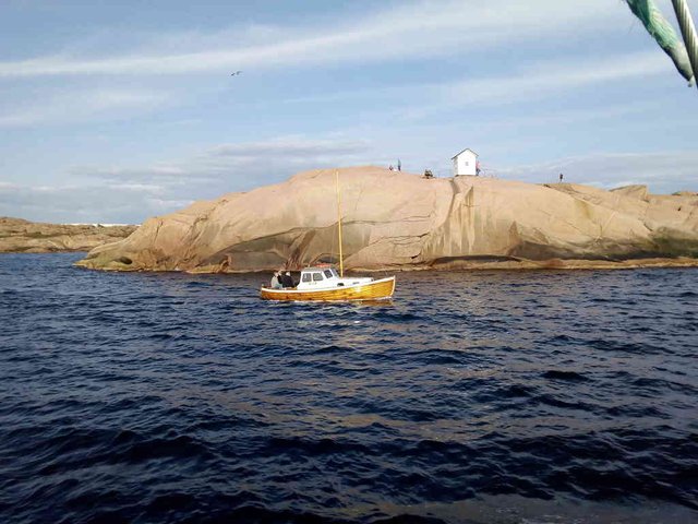
Quite many people heading out for this white building. This is part of Stångehuvuds Naturreservat.
position: geo:58.271137,11.412166 (geohack) - 2018-09-01 17:48:15 localtime - full quality
I believe I can see that church spire on this photo.
position: geo:58.277965,11.408829 (geohack) - 2018-09-01 17:53:27 localtime - full quality
position: geo:58.30442,11.386246 (geohack) - 2018-09-01 18:15:17 localtime - full quality
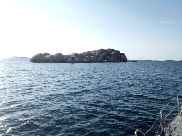
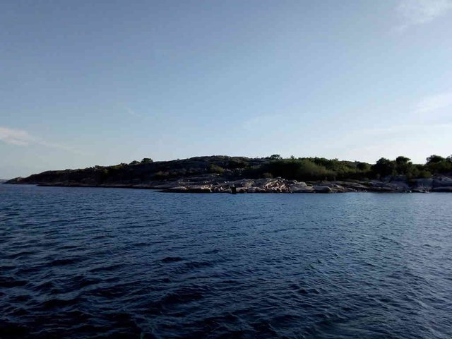
Quite much of the landscape is rocky islands ... granite without much plant life. However, there are quite some forest to be found as well, if one searches for it ... like, here is an island with forest. It's probably Kornö.
position: geo:58.304542,11.385952 (geohack) - 2018-09-01 18:16:06 localtime - full quality
position: geo:58.307403,11.381651 (geohack) - 2018-09-01 18:18:11 localtime - full quality
In the background at the left side on this photo one can see a ship lying for anchor. There are some refinery nearby Lysekil, on the west side, so there are several official anchoring places here for ships waiting to see the refinery.
position: geo:58.310432,11.419376 (geohack) - 2018-09-01 18:35:24 localtime - full quality
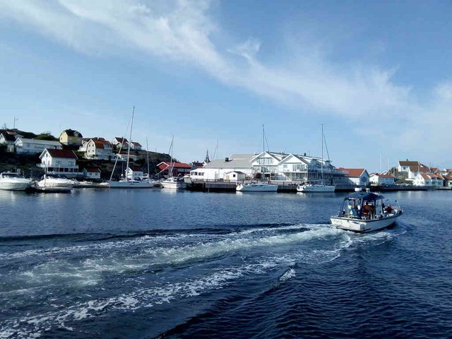
Kornö, Malmöen, Kungshamn, Sotekanalen, Täresund, Humparna, Dannemark
I'm surprised that I didn't take more photos (at least not any photos that made it past the distilling process. I did make a single photo 19:35, then we had made the wrong turn (I was busy with other things, just telling "sure, I believe so" when my crewmate asked if we should turn to the starboard) and was turning into a bay (Örnefjorden). Anyway, it was unsharp so I discarded it - and after that it became too dark.
After Lysekil (on the starboard) the next village (and bigger island) is Kornö (small and big Kornö, two islands actually). There are guest harbours and it looks like a nice island, probably without car traffic, should probably stop there at some point. The next island to the port is Malmöen (not to be confused with the bigger city Malmö), I've been there before ... it does have some nice beaches and it has a shop. It's connected to the mainland by a cable ferry, so it has quite some car traffic.
After passing the settlement and turning port to go around the island, one has to pass the cable ferry. Great care must be taken - according to the sign post one should be 200 metres away from it to be able to pass the cable safely.
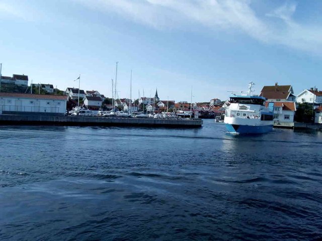
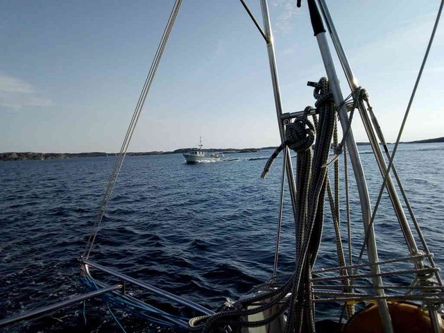
Next stop is Kungshamn. From Malmöen to Kungshamn we often find ourself starting the engine and going against the wind. We have problems with the main sail, so it's a lot of work rolling it in and out - sometimes we're too lazy to roll it in here, and we end up tacking a bit even if we're going by engine, just to avoid having the main sail flapping in the wind.
We're regularly stopping to buy food in Kungshamn. When the harbour isn't overcrowded, it's usually possible to make a stop nearby the ICA "Skeppet" food shop. This time too, we made a quick shopping to make sure we could have a good dinner and breakfast.
After Kungshamn there is a bridge - it's the only bridge crossing between Gothenburg and Oslo! This bridge is 26 metres high, and I believe our mast is 24 metres over the water line. This is also the first bridge I ever passed with this boat, so while I don't remember if the magic number of the mast is 24 metres, I do know for sure that I can pass the Smögen-Kungshamn bridge, and it's easy to check that it's 26 metres high.
Sotenkanalen is an artificial channel built in the 1930s, the primary purpose is to have a sheltered passage as the sea at the outside can be rather rocky (source: kanaler.arnholm.nu. It was a good time to do such projects due to the high unemployment. Did I just write that the Smögen/Kungshamn bridge was the only brigde passing? Nonsense - there is a bridge over the channel as well. However, this is a turning bridge. Within the opening hours, the bridge opens on demand - and we just managed to catch it in time. However, following this channel in the darkness was no good idea! I had to relocate my crewmate from the pantry to the deck so he could hold flashlights and keep a watch.
No pictures since it was dark, but here is a picture when I passed the channel at 2015-01-03:
There is also Täresund which probably was made in the same time as Sotekanalen. For some reason the recommended track is not going through this sound. We went on the outside this time, there wasn't much waves and we didn't want to do more narrow straights in the darkness.
Afterwards it was Humparna, literally "the bumps". This is one of the more bumpy parts of "E6", a bit less than one nautic mile with not so much shelter for the waves. There are lots of rocks on the port side of "E6" here, so it's an impressive view on days when the sea is really rough.
Finally we threw anchor on the south side of the Dannemark island. We've been in land there once, it was a beautiful beach and quite some history on that island. While we we lying by anchor, there were two other boats there lying long side directly towards the granite! Such moorings are possible in Bohuslän and Oslofjord due to the small differences between high water and low water in this region. I've never done it myself though.
Selected photos available in original quality on IPFS QmRfNi9vJLwbdnTRNpLzo8oNRi9CS7xMBKkc4qWyL9CHJN. All photos taken available in original quality on IPFS QmRDyL7waoVUFZTHwNZkpYTXWuRYoVE9QsbytauA6LcizQ. The CC BY-SA 4.0 license applies on both my photos and the article
Looks nice, how many days do you have left until you are in Oslo? 😊
I'm in Oslo. Those photos were from the 1st of September
Aha, forstår - ok, ser ut som en fin tur uansett. Har kommet meg etter den villeste bussturen ever, og har ikke fått tilbakemelding fra båten som skulle fra Roma til Gøteborg - kan være at han har fått tak i mannskap. Fikk en melding av en Bavaria 49 som er på tur sørover, jordomseiling, på crewbay - men blir litt tøft å rive seg løs når man er nygift. Du får si ifra om du har noen seilingsplaner i høst/vinter - så får man se om kan hive seg med.
Very interesting place. And the Church there is very spectacular.
source
Thanks for the amazing photos, @tobixen
I liked them very much!
Have a great holiday in Oslo!
what peaceful photos and fairytale places!
The water is so deep blue.. wonderful color - my favourite one;)
thanks for having a walk with steemians;)
Congratulations, Your Post Has Been Added To The Steemit Worldmap!
Author link: http://steemitworldmap.com?author=tobixen
Post link: http://steemitworldmap.com?post=sailwithme-along-e6-hermanoe-gullholmen-and-lysekil-and-up-through-sotenkanalen
Want to have your post on the map too?
I’m captivated by the ocean, I worked at sea for year so I really enjoyed looking at these beautiful photographs. Great post
Hiya, just swinging by to let you know that this post made the Honorable mentions list in today's Travel Digest #319. Please drop by to check out all the rest of today's great posts and consider upvoting the Travel Digest if you like what we're doing.
Wao very wonderful pictures,Very beautiful places,Very attractive and attractive,places,Heart touching places,Everyone so enjoying these places,Many ships in the water,Water is so cool,Water is so neat and clean,thanks for sharing,
Hi @tobixen!
Your post was upvoted by @steem-ua, new Steem dApp, using UserAuthority for algorithmic post curation!
Your UA account score is currently 3.827 which ranks you at #4332 across all Steem accounts.
Your rank has improved 3 places in the last three days (old rank 4335).
In our last Algorithmic Curation Round, consisting of 236 contributions, your post is ranked at #99.
Evaluation of your UA score:
Feel free to join our @steem-ua Discord server