Thought Experiments without Google: "How did ships navigate in 1970?"
The other night I was doing the dishes, which meant I could think about things without being tempted to google them. After a great conversation with my wife about the precession of the Earth's axis, the North Star, and all that silliness about Nasa and the Zodiac signs, I had stars on my mind.
And it occurred to me: There was a space of several decades when ship captains had access to all sorts of cool modern technology, but still had no GPS. Did they still use the sun and stars to navigate?
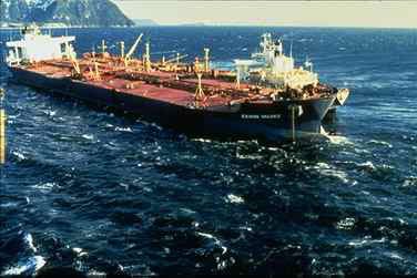
(public domain)
My first thought was "sure, how else? If you're in the middle of the ocean, what other means do you have available?"
So now, I proceed to answer the question entirely out of my own mind. I haven't googled a single item here, except the images which I inserted after I'd done all the writing. In fact, I encourage you to think about the question before reading my answers and before googling it yourself. Then, google away and tell me in the comments all about what I missed. Even better, if you were a ship captain in 1970, tell me how you navigated then!
To answer it, it should be useful to make as comprehensive a list as possible of what technology was available. I said 1970 because it sounds late enough that they'd have decent shipboard computers, but early enough that modern GPS wasn't much to speak of. Realistically, I bet the superpowers had navigation satellites that early; if this bothers you, set it in 1960. I don't care. This is my thought experiment, I pick the rules. Available technology:
- Radar
- Radio
- Sonar (certainly for depth-finding, also potentially for imaging the sea floor)
- Computers of some sort
- Very precise clocks
- Powerful engines that let you travel against the winds and currents
- . . . am I missing anything?
- Yes, obviously, they had the sun and stars (and astrolabes, sextants, the whole nine yards)
How could each of these technologies be used for navigation?
Radar
This would have been massively helpful for airplanes flying near populated areas. I don't know when the first air traffic control (ATC) networks were established, but ground-based radar can track airplanes pretty precisely. So if you're in an airplane and you don't know where you are, you should be able to radio up ATC and say "yo! Where am I!" Maybe the ATC person would want your altitude, bearing, and airpseed (which you get from simple onboard instruments), but it shouldn't be difficult at all for them to find you on a radar screen somewhere and tell you where you are.
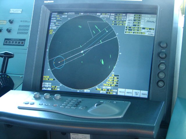
By Hervé Cozanet - http://www.marine-marchande.net/, CC BY-SA 3.0, https://commons.wikimedia.org/w/index.php?curid=925865
How would this help ships in the middle of the open ocean? I suspect it would help them very little. Radar can see ships,[citation needed] but it works through line-of-sight only,[citation needed] so if you wanted to use radar to localize a ship, you'd need the radar to be high enough up in the air to be able to
- see the ship
- see a point of land.
This wasn't a problem for the airplane flying over land, because there are ground-based radars scattered all over the continent; no airplane can fly over the US without being in range of some radar station.
So unless you have a large network of air-based radars (on airships, airplanes, or satellites), radar is probably not a great way to localize a ship in the middle of the ocean.
Radio and very precise clocks
Radio at the right frequencies can reach very very far, and does not require line-of-sight. This is because the layers of the Earth's atmosphere reflect radio waves over the curve of the Earth. So in principle, we could set up ground-based radio beacons in strategic points around the globe, have each beacon send out a slightly different signal, and each ship could simply monitor these signals from anywhere on earth and use them to pinpoint their location.
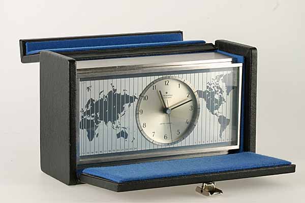
By Museumsfoto - Deutsches Uhrenmuseum, CC BY 3.0 de, https://commons.wikimedia.org/w/index.php?curid=16876370
This is a triangulation exercise, and it's why the very precise clocks come into play. It's not always easy to tell where a radio wave came from[citation needed] (this is in part because of the multipath problem: there are lots of things in the world that reflect radio waves, and sometimes you might receive a reflected version of the signal from a totally un-informative direction), but if you have a good clock and some halfway-decent electronics, it's very easy to tell when the radio wave hit you.
I suspect that if you know where each of the beacons are located in the world, and you can measure signal arrival times accurately, you could get a reasonably-accurate sense of how far you are from each beacon. How accurate? I have no idea. Would you be ruined by multipath? I'm guessing that could make it challenging.
Here's food for thought: Would this system be vulnerable to beacon spoofing? If I'm a bad guy (such as, for example a pirate), I might want to make ships think they're in different positions than they are. Could I mimic one or more of the beacon signals in a way that misled ships?
Sonar
You could certainly set up a sonar beacon system like I described with the radio, but I bet the multipath would sink you (really? in an article about ships? poor taste much?). Maybe if the frequencies were very low... But then we're really getting into subjects I don't know anything about.
Here's an idea for sonar: What if you had accurate depth charts of the ocean? It's really easy to use sonar to check the depth of where you are. If you're traveling along in a straight line, you could just chart the depth profile along your route. If you know vaguely where you started, you could probably figure out pretty accurately what route you took. The less certain you are of your speed and initial location, the less well this would work. Without a decent computer, it would probably not be useful at all if you didn't know where you started.
Powerful Engines
The stronger your engine is, the less you're going to be bothered by winds and currents. This will improve your ability to choose your course, which should improve your ability to dead-reckon. By the way, before people invented accurate clocks, dead-reckoning was the only way you could gauge your longitude (that is, how far east or west your are of your origin). So if you're someone like Columbus or Magellan, you just had to make as accurate a guess as you could about how fast you were moving each day, taking into account winds and currents. Then the next day you'd do the same thing, and so on until you found a piece of land that you knew. If you're Magellan, and every single piece of land is new to you, you just have to press on until you finally find someone who can point you home. You don't have to believe in sea monsters for 16th-century navigation to sounds terrifying.
Anyway, the fewer days it takes you to get where you're going, the better your dead-reckoning estimate will be. Thus, strong engines.
The sun and stars
In all this, I've been saying "maybe you could do this" or "maybe you could do that." But what if you could just check where you are? The sun and stars let you do that. If you know what day it is (check your calendar), and you know which way is North (check your compass), and you know what time it is (check your clock), you can use 16th century technology to figure out where you are in the world.
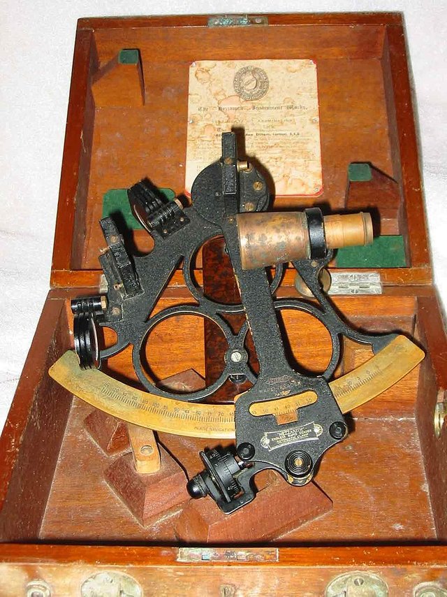
By Michael Daly CC BY-SA 3.0, https://commons.wikimedia.org/w/index.php?curid=2852844
So here's my bet:
Early sailors could read the waves too. By the reflective waves, they could get an idea of what direction land was and how far it might be. Some sailors still are able to do this.
And I'm sure sea life tells you something about this as well.
Maps, compass, sun/star orientation and experience.
By not having technology which does the work, humans developed a certain level of skills how to navigate. Like one comment said that they could read the waves on the surface and determine where land must be. I am glad for the new technology especially when I am a passenger on a ship, but it is sad for the skills that we lose.