Storm photography - part II
Hello everyone! :) It seems you really enjoyed my previous post about storm photography, so I feel very motivated to show you the rest of my storm photos from 2017 as I promised in mentioned post. The second half of 2017 season, which I'm gonna cover in this post is at least as - if not more - interesting as the first one. During the period from July 1 to August 11 I captured a variety of incredible stormy landscapes, ranging from a distant convection backlit by the setting sun to a massive shelf cloud with a 50mph+ wind gusts - so it definitely wasn't a boring time! ;)
After the June 28th, which was the last day I wrote about in my previous post and the second big day of 2017, I didn't have to wait a long time for next photogenic storms - a quite nice setup established just 3 days later, on July 1st. The storms on this day were developing in a cold airmass, so they were weak, but very beautiful (which is very often the case with cold airmass convection). The first storm of the day passed north of my town, but I could watch its shelf cloud and a precipitation core behind it from south - it was a pretty nice view!
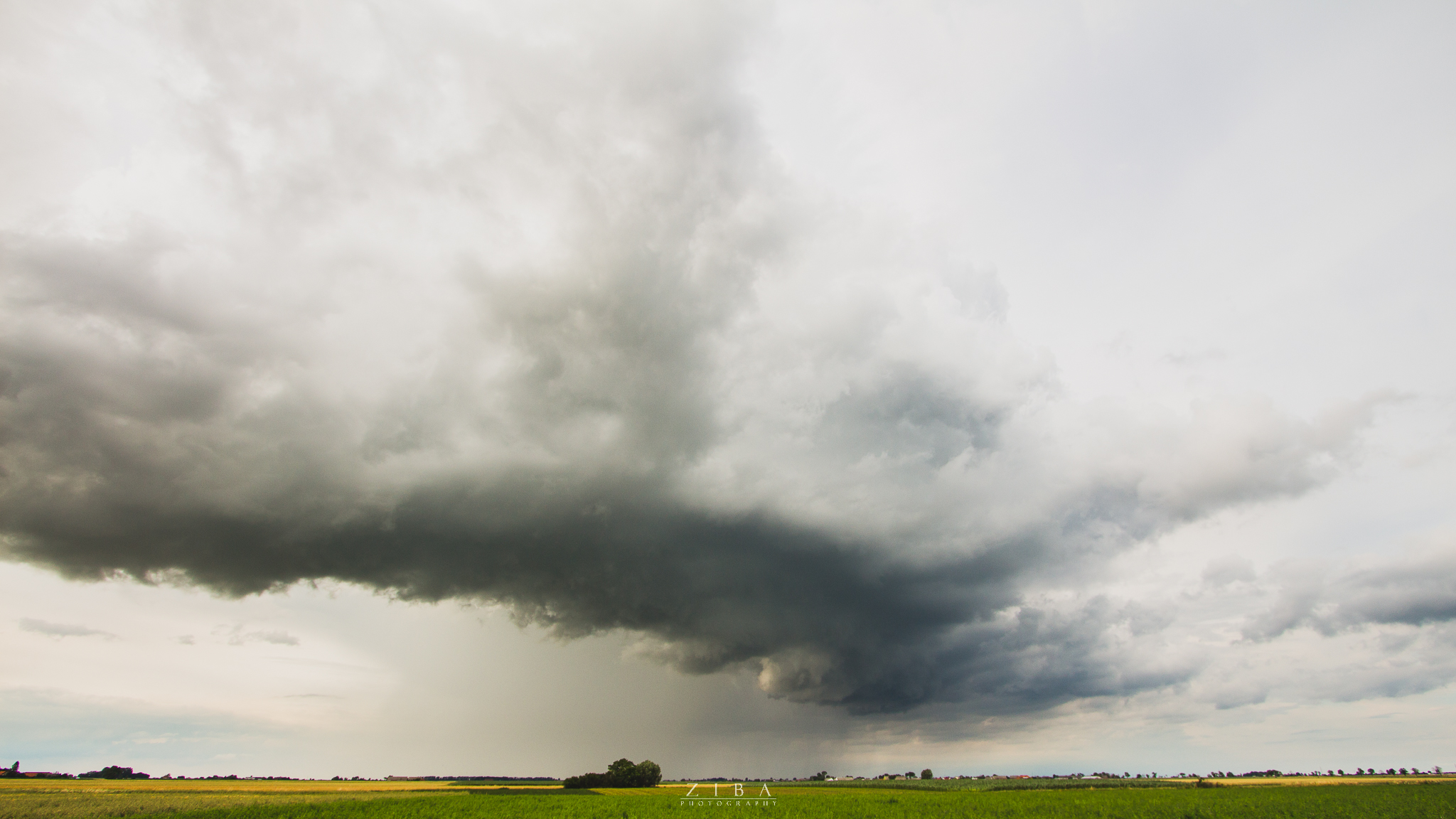
But this storm was just a intro to was happened next. A small cluster of showers and storms developed west of my town and was heading towards me. I repositioned a bit to have better view in the west and started shooting the storm as it was closing in. Few minutes later a shelf cloud started to develop, and although the best part of it was outside of my frame (I was shooting timelapse, so I couldn't reframe my shot), I still captured some nice pics of the structure:
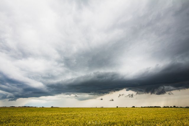
When I finished my timelapse I was finally able to shoot in some other directions:
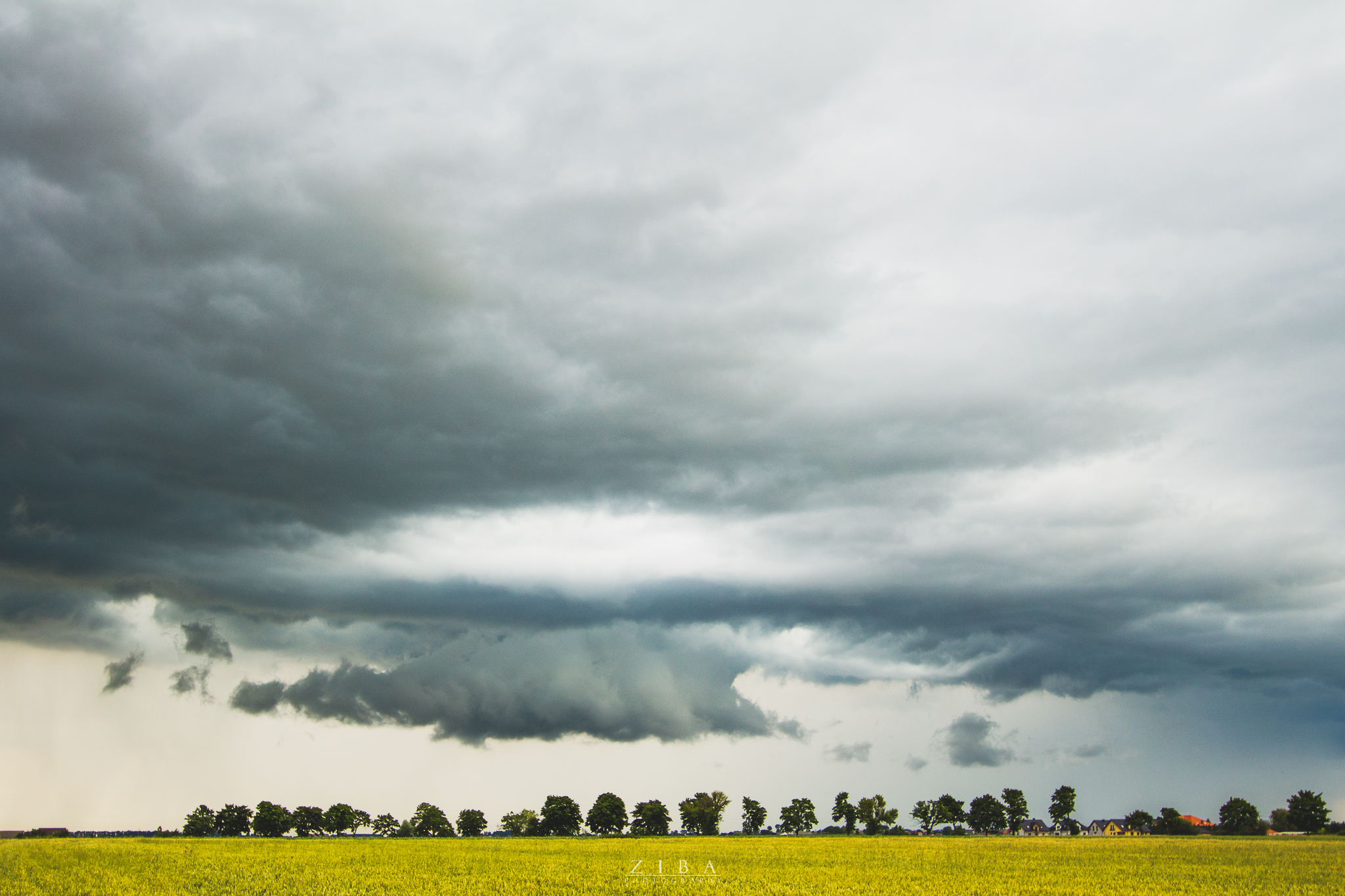
One my last photos before I left because the precipitation core was really close and I didn't want to get wet :D
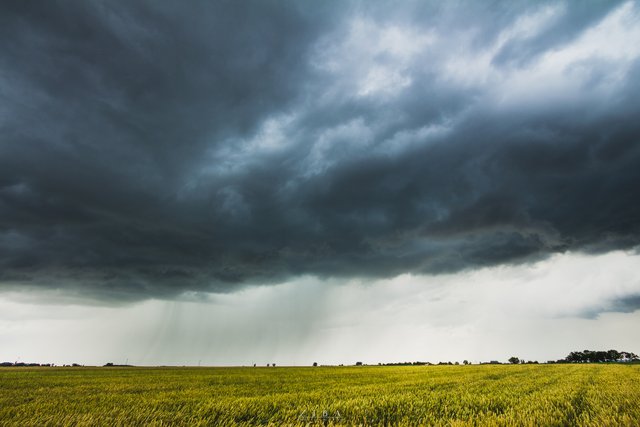
I had to wait a bit longer for next setup, which established on July 10, but it was worth the wait - this setup was the third big day of 2017! It was a hot day and you could just feel the instability in the atmosphere. Around 2PM two storms rapidly developed southwest of my city. Initially I thought they are going to pass north of me, but they reorganized a bit and it turned out that the one of them is heading directly at my town. Of course I got my gear and blasted to my viewpoint. The storm was moving quite slowly, so I had time to leisurely set up my camera. Few minutes later a shelf cloud started to develop.
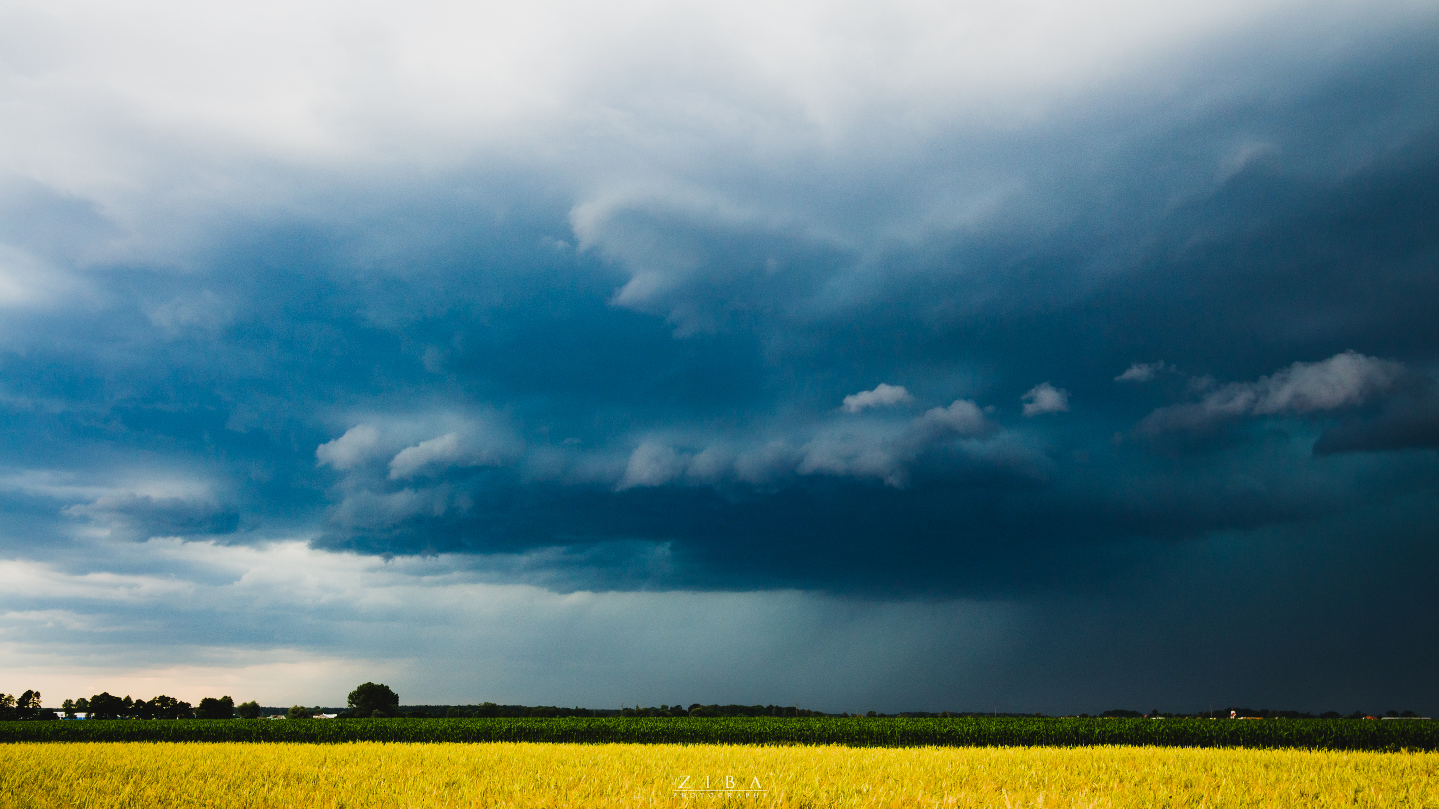
While closing in, the storm started to show green hue in the precipitation core, which is usually a sign of a strong downpour, in most cases with large hail!
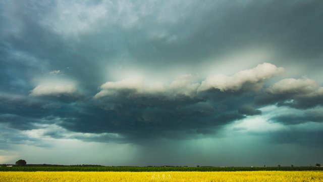
As you see this storm wasn't the most photogenic storm I captured in 2017 season, but it showed its power few minutes after I came back home from my viewpoint - a very intense downburst occured with this storm, with very strong winds and lots of rain. It was the strongest storm in my city since 2013!
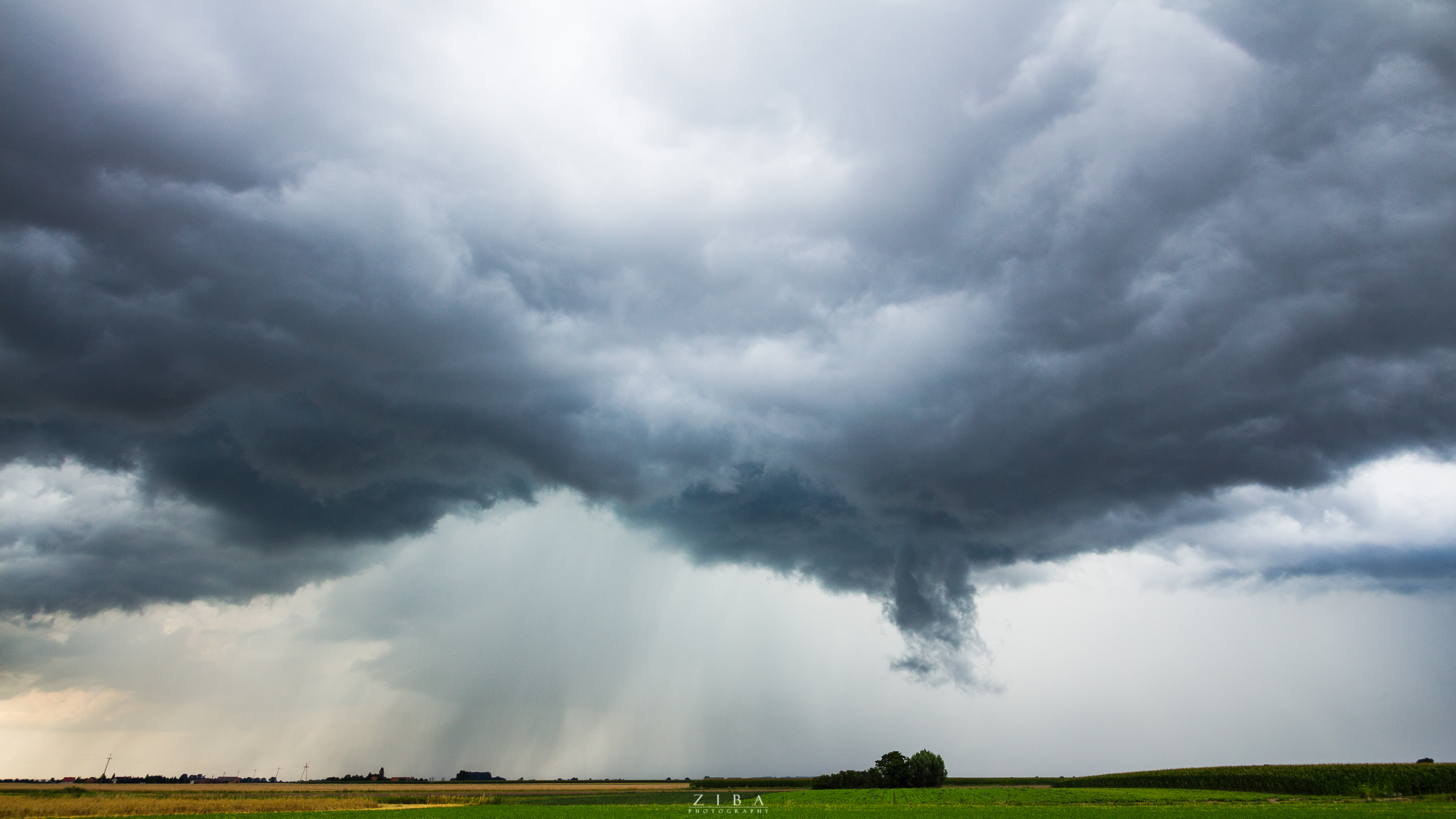
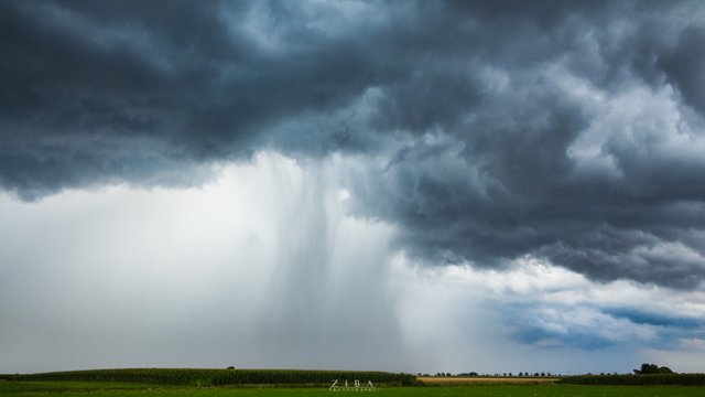
The next opportunity for storm photography materialized on July 23rd, so I had to wait even longer than previously. But it was worth the wait again. Early in the day of July 23rd a severe thunderstorm passed over Wrocław, about 80km south of my city. Neither me or any of my friends from local stormchasing group wasn't prepared for so early development of storms, so we couldn't chase it. I thought it's over, but around 5PM I noticed a robust convection ongoing in northwestern direction. When I was shooting it, I realised that the storm that previously developed north of me appears to be coming closer and closer. I looked at the radar animation and I realised that this storm has developde along a outflow boundary which is coming my way! I repositioned to have a good view north and started shooting. The boundary kept closing in with new storms developing along it. The storms eventually passed my by just a few kilometers, allowing me to admire their incredible rain shafts from very close distance with very turbulent sky above them. It was a truly breathtaking view!
And now we're moving on to August, the last month of the storms season - in this case, it was also the most extreme and destructive month of the season, but we'll write about it later. The first August storm I photographed from my city happened on August 3rd... 150km away from me! You might wonder how the heck I was able to shoot storm that was so far away?! Well, I used a very long lens so I was able to capture the convection ongoing in this storm. It was a isolated supercell with clear skies all around it, and even from such a distance it looked absolutely breathtaking - it was backlit with setting sun. The sun very nicely emphasized the egdes of the Cumulonimbus cloud and made it looking very photogenic.
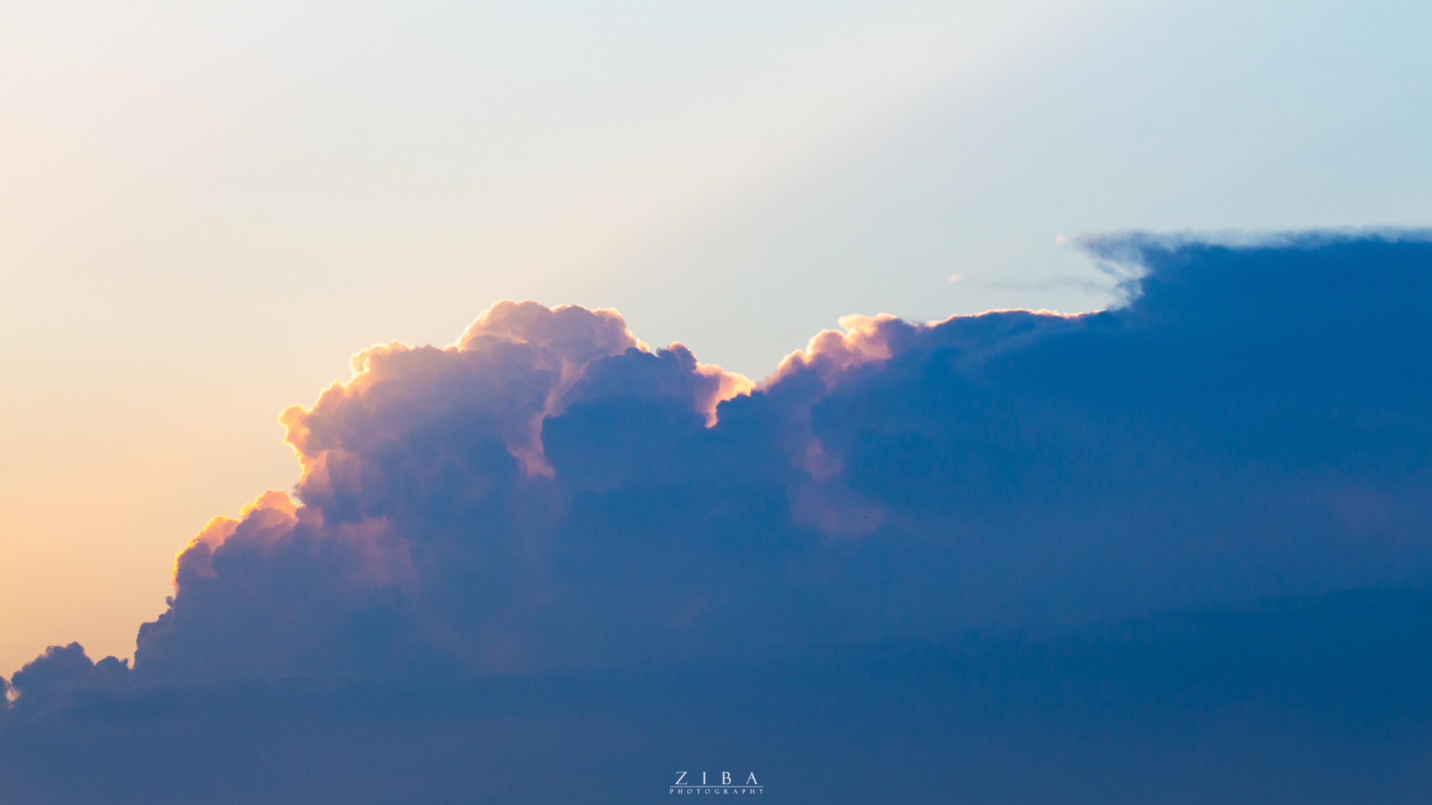
And now we're inevitably closing to the strongest, the most extreme and the most devastating severe weather outbreak that struck Poland in 8 years - I'm thinking about the August 9 - 11 incident. The forecasts were very alarming a few days before the event. I remember when I went shooting the stars on August 7-8 night. My friend sent me a screenshot and when I saw it, I just couldn't believe my eyes! The model forecasted an enormous and very stron convective system. I thought it must be a error in the forecasting model, but it wasn't. Two days ago, in a night of August 10 I was waken up by a very loud lightning strike. What I saw next was the most intense lightning storm I've ever seen. I initially tried taking some photos before the precipitation core and I took one - the lighting strike hit so close and it was so intense that my entire photo was completely overexposed, just a blank white picture. After that I gave up on shooting this storm and decided to just watch it and admire it.
This system wasn't very damaging fortunately, but the worst was yet to come. In the afternoon of August 11 storms started to develop in north Czech Republic and south Lower Silesian Voivoideship in Poland and were moving north very fast. My friends from Skywarn Poland arrived to my town and together with my local storm chaser friend we traveled to a viewpoint located north of my town. After about of 30 minutes we noticed something on south horizon - it was a shelf cloud. It was far away, but moving very fast. In about 15 minutes we could very clearly see a monster - the most epic shelf cloud I've seen.
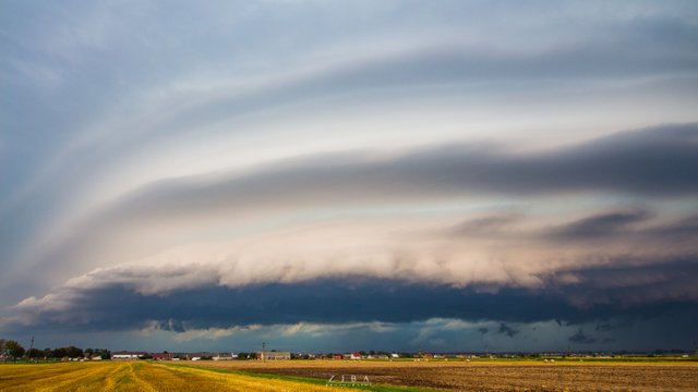
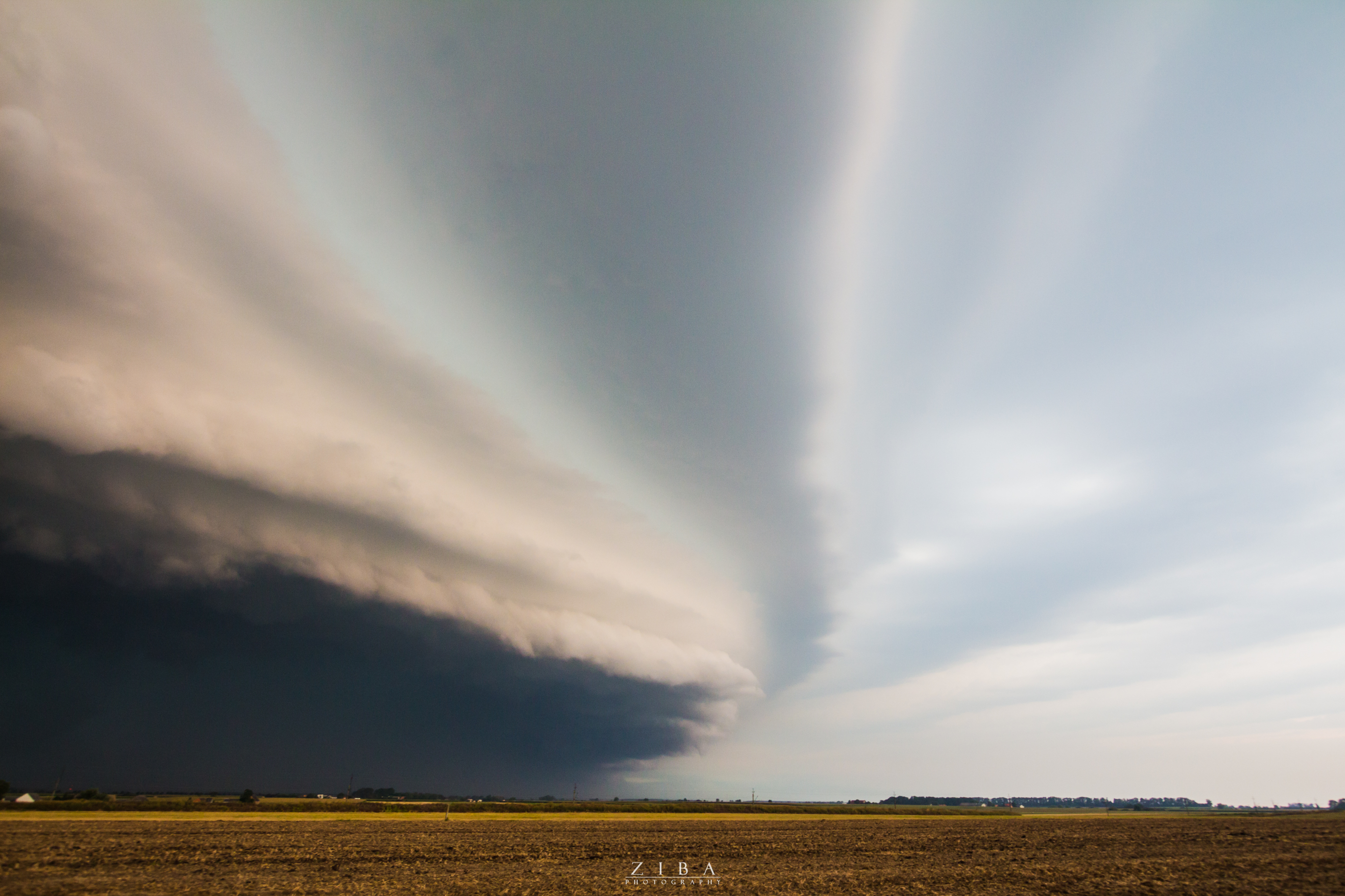
Few moments later we were directly under the shelf and were experiencing winds reaching almost 60mph. The gusts were so strong I needed to hang on my tripod, because otherwise it would fly away - and the most active part of the system passed about 30km south of us!
About a hour later this system started to reorganize into a extreme bow echo and traveled in northwestern direction, killing 6 people and completely devastating 450 square kilometers of forests, making it the most devastating storm in Poland since a very long time. It was heartbreaking to hear next day in TV about all the fatalities of this storm and the complete destruction it caused. I'm a stormchaser and I love what I do, but I really hope such storm will never happen again. We want storms to show beauty, not to cause chaos, devastation and death.
If I was to choose the best storm of 2017, I would choose the July 23rd storms. They were relatively weak, they didn't cause any damage... and they were also really beautiful and jaw-dropping. This is the type of storm I love the most and I wish everyone to see such storms and to never experience such monster as the system from August 11 :)
And that's it - that's the entire 2017 season in my lens :) I hope you enjoyed those posts. I will probably write one more post about storm timelapse, because I made a lot of timelapses in 2017 season. Or maybe would you like me to write a post with some tips for storm timelapse? Let me know in the comments! :)
Great pictures! Very crisp and clear. It reminds me of the mid-west in the states. We have some insane storms here too. Gonna Follow to see more. Keep up the great work!
Thanks a lot! Unfortunately where I live, in Poland, we don’t get as beautiful storms as in US Midwest. I’d love to chase those incredible US storms one day :)
My first impression of your photos was you were in the Mid-West. I read on and see you're in Poland. The similarities are uncanny.
World of Photography
>Visit the website<
You have earned 5.10 XP for sharing your photo!
Daily photos: 1/2
Daily comments: 0/5
Multiplier: 1.02
Server time: 22:26:39
Total XP: 10.15/100.00
Total Photos: 2
Total comments: 0
Total contest wins: 0
Follow: @photocontests
Join the Discord channel: click!
Play and win SBD: @fairlotto
Daily Steem Statistics: @dailysteemreport
Learn how to program Steem-Python applications: @steempytutorials
Developed and sponsored by: @juliank