Lake Sakakawea/Garrison Dam Pics - North Dakota
Pictures I took of Lake Sakakawea and Garrison Dam while camping there this summer.
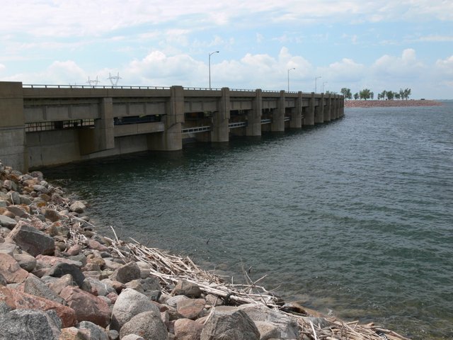
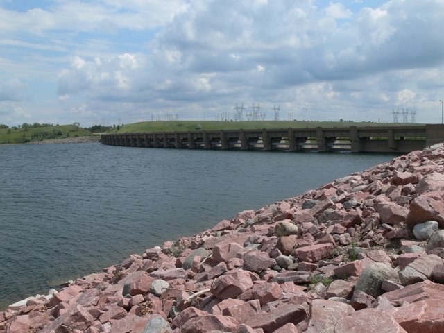
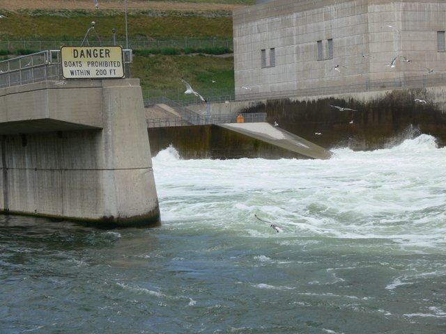
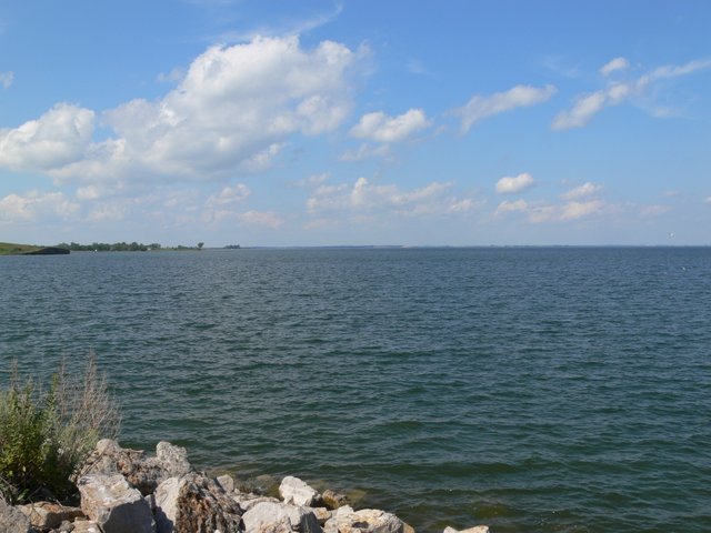
East side of the spillway. Water is pretty high from spring rain and melting snow from the mountains in Montana and Wyoming.
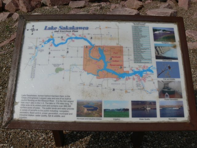
We are down in the bottom right of the map.
History:
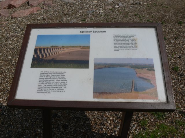
Lake Sakakawea is a large reservoir in the north central United States, impounded by Garrison Dam, a U.S. Army Corps of Engineers dam located in the Missouri River basin in central North Dakota. Named for the Shoshone-Hidatsa woman Sakakawea, it is the largest man-made lake in the State of North Dakota and the third largest in the United States, after Lake Mead and Lake Powell.
The lake is located about fifty miles (80 km) from the state capital of Bismarck; the distance by the Missouri River is about 75 miles (120 km). The lake averages between 2–3 miles (3–5 km) in width and is 14 miles (23 km) wide at its widest point (Van Hook Arm).
The reservoir was created by construction of Garrison Dam, part of a flood control and hydroelectric power generation project named the Pick-Sloan Project along the Missouri river. Garrison dam was completed in 1956. It is the second (and largest) of six main-stem dams on the Missouri River built and managed by the U.S. Army Corps of Engineers for flood control, hydroelectric power, navigation, and irrigation.
Source: https://en.wikipedia.org/wiki/Lake_Sakakawea
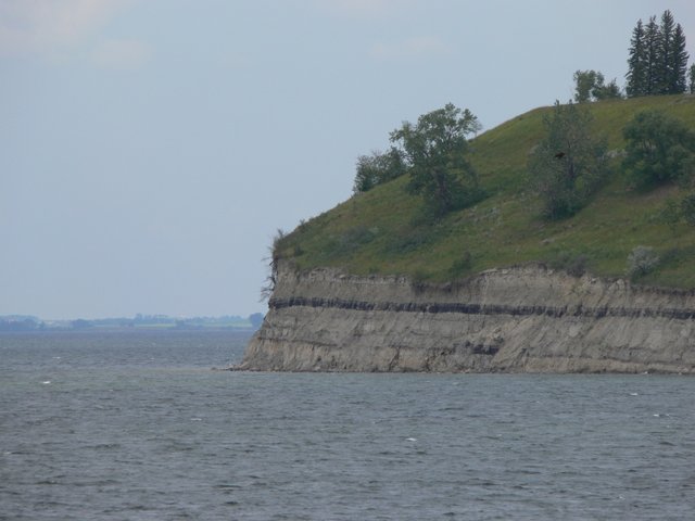
That black line in the cliff is the coal seam. North Dakota has a ridiculous amount of coal. Enought to power like 200 years of the US's power needs.

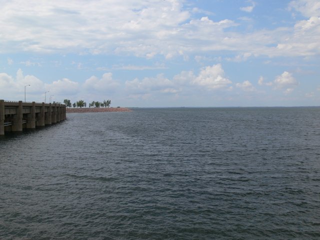
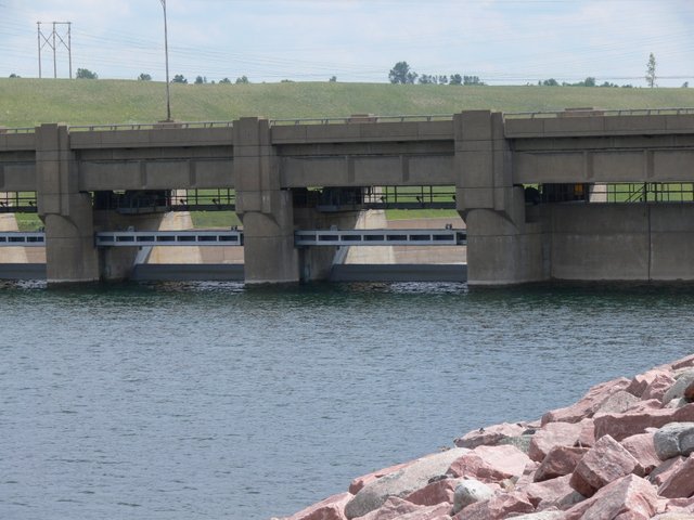
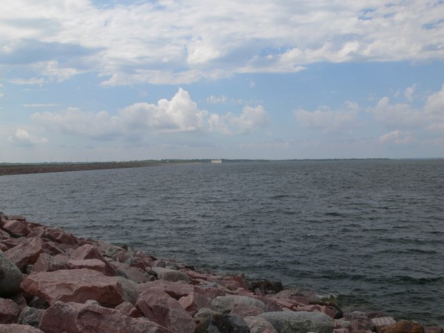
Now on the west side of the spillway.
The water is only a few feet from topping the spillway gates. The spillway has only be used once since the damn was built. In 2011 the spillway was opened for the first time after major flooding and snow melt in Montana.
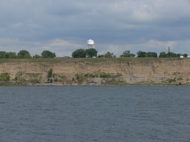
Town of Riverdale above the lake.
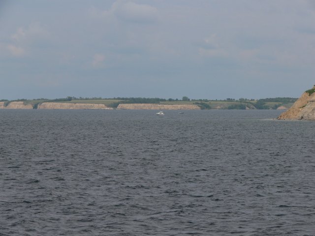
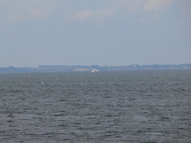
Big boats on the water.
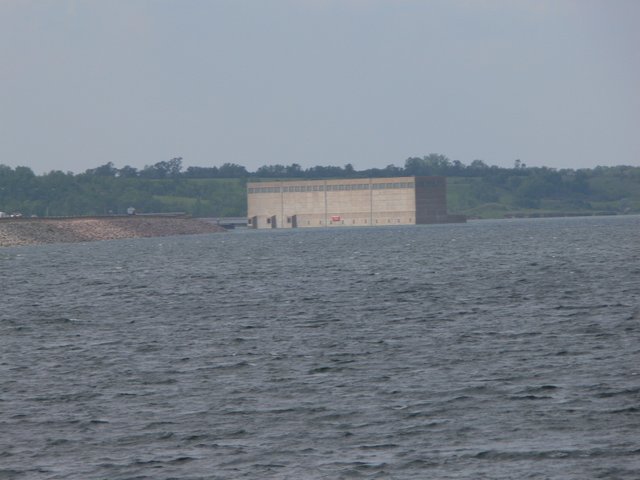
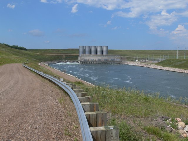
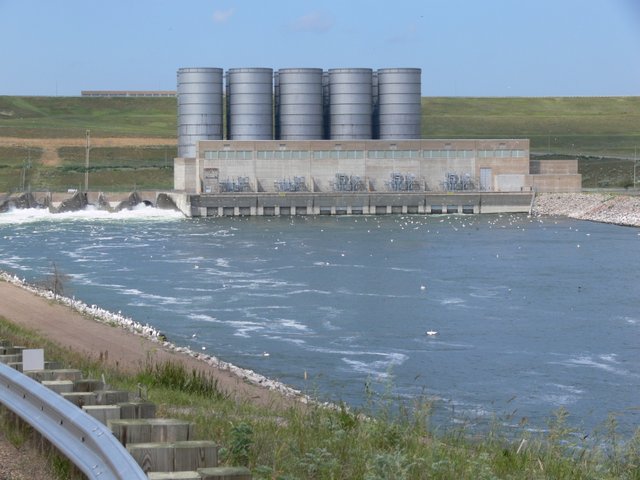
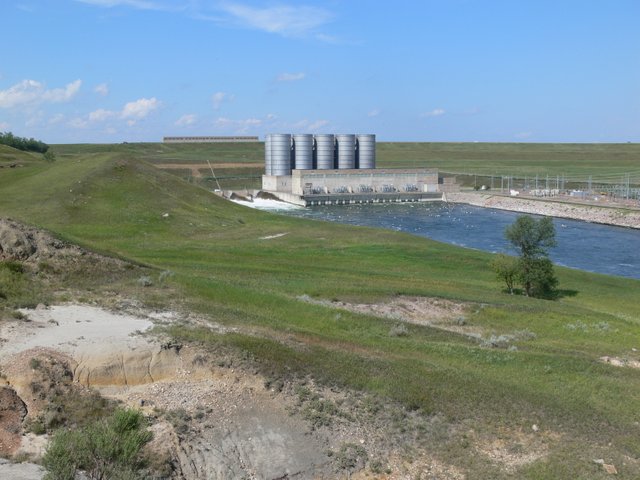
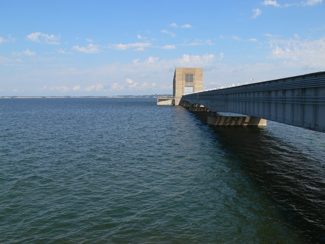
Water intake structure for the dam.
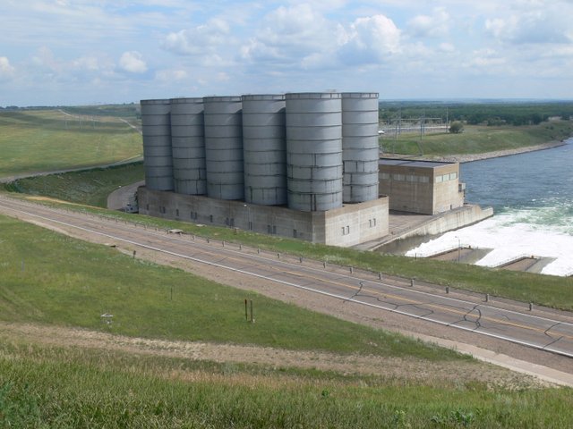
Above Garrison dam.
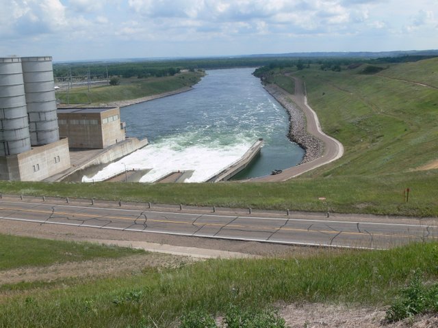
Currently the Dam is releasing about 62,000 cubic feet per second(cfs) of water. It's normal release is closer to 20,000 cfs and in 2011 the Dam and the spillway combined were releasing 150,000 cfs at the peak of the flooding.
That white water is the emergency release tunnels designed to by-pass the turbines in the power plant because the plant can only handle like 40,000 cfs. So the extra 22,000 cfs goes through these tunnels.
This is the westside of the Garrison dam tailrace.
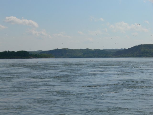
Notice the thousands of birds
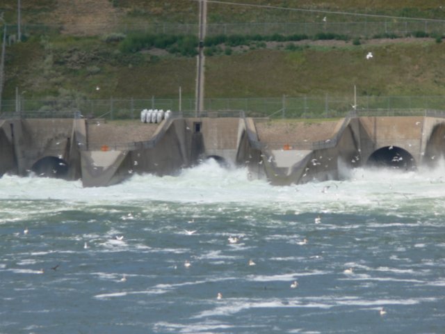
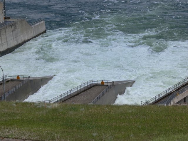
You can see the three emergency tunnels releasing water.
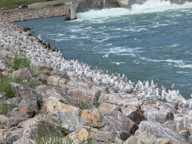
Tons of seagulls all along the rocks and notice the bird shit on the rocks too. You could smell the dead rotten fish from all the bird shit on the rocks, very nasty.
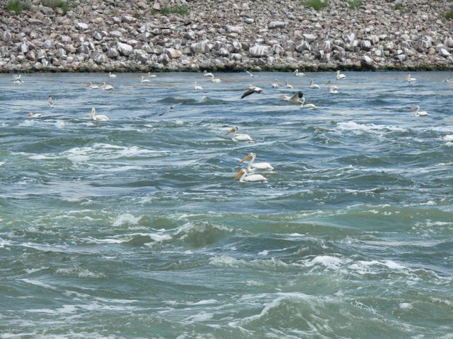
The birds eat the smelt and shad fish that get sucked through the tunnels and come out the other end disoriented or dead.
Lots of cotton wood trees down there.
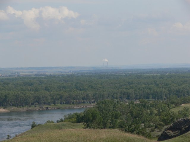
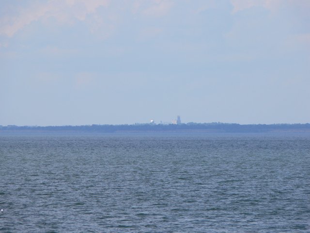
Coal power plant way off in the distance.
Intake structure where the water get sucked down from the lake to the power plant.
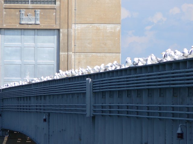
More seagulls. Notice the little castle on the building I think that's an Army corps symbol.
Looking north at the town of Garrison which is about 10 miles away.
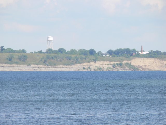
Riverdale again.
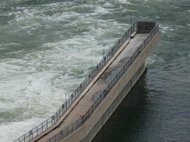
East side of the tailrace at the boat ramp.
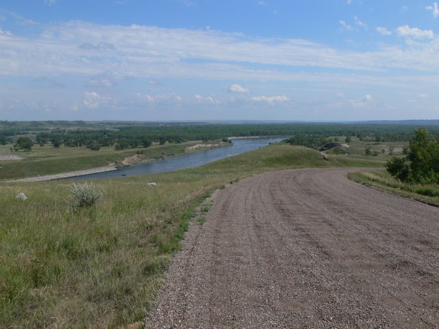
Looking down stream.
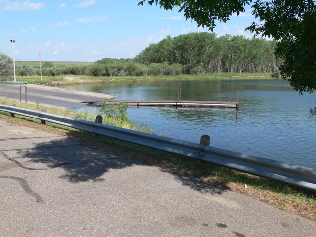
Boat ramp.
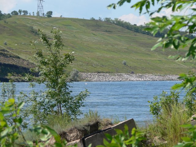
Looks like a nice place.
as for your comment
Makes a person WONDER about that ENERGY SHORTAGE they say we humans on earth will have by using up all the resources.
And if we have so much COAL so readily available close to the surface- what is REALLY going on with Fracking?
I used to think the claims that Fracking were to BUST up the internal ley lines & energy system of the Earth were ridiculous. Not anymore.
Congratulations! This post has been upvoted from the communal account, @minnowsupport, by wakeupnd from the Minnow Support Project. It's a witness project run by aggroed, ausbitbank, teamsteem, theprophet0, someguy123, neoxian, followbtcnews, and netuoso. The goal is to help Steemit grow by supporting Minnows. Please find us at the Peace, Abundance, and Liberty Network (PALnet) Discord Channel. It's a completely public and open space to all members of the Steemit community who voluntarily choose to be there.
If you would like to delegate to the Minnow Support Project you can do so by clicking on the following links: 50SP, 100SP, 250SP, 500SP, 1000SP, 5000SP.
Be sure to leave at least 50SP undelegated on your account.
I just got back from a week of fishing that lake, good times. Lake is so high this year.
Nice, were you in the tournament they had this past weekend?
I did not compete, but we did fish during their tournament within their boundaries and they were out in the water near us. I caught one fish in the 7 hours we were out that day, but it was the biggest walleye I have ever caught, 26.5 inches. Which was pretty satisfying, big pregnant lady took a fish they were after. They were mostly pulling cranks, we were trolling with spinners.
Wow, nice.
wonderful lake.