The View of Reuter Peak From Teepee Flat on Big Prairie
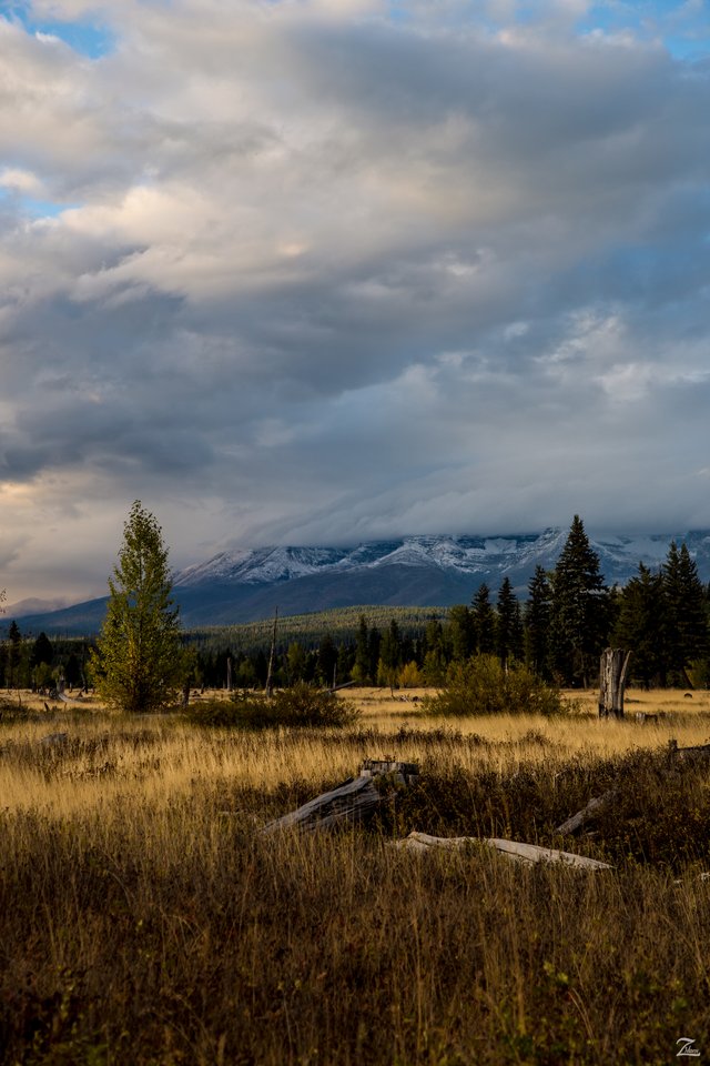
This view across the Big Prairie on Teepee Flat along the North Fork of the Flathead River is one of my rare images I lensed while exploring the area on the ground. This is located between the Flathead National Forest and Glacier National Park only a few miles south of the border between Canada and the state of Montana.
Here is a link to google maps for the location of this beautiful place.
I love to imagine the First Nations Cree Tribal Teepees set up all around this prairie area back a couple hundred years ago. They would come down from their homelands in Canada to the north, to hunt Elk, Deer, Mountain Sheep and to Fish in the Flathead River.
In the distance clouds cascade across the western side of Reuter Peak in this image I lensed while exploring the wilderness along this flat all the way to the border.
I hope you like this image from my ongoing project in which I am trying to raise awareness of the 47% of the USA and 90% of Canada that remain unpopulated wilderness.
Where Eagles Fly - The American Wilderness Expedition is my personal mission to introduce people to these amazing locations that surround us.
If you like what you see here upvote then resteemit so that others may experience these wondrous places as well. And if you'd like these images to be part of your feed then follow me. Yehaw!!
beautiful!
Love this Picture😍😍😍wonderful landscape ❤📸
what a great purpose you found in life! I admire your work... Truly!