Hiking the Oregon Trail: Wagner Butte
Hiking the Oregon Trail: Wagner Butte
Hiking is one of the cheapest and rewarding experiences that life in Oregon has to offer. There are so many beautiful views and mostly untouched areas of Oregon, that you really get to see how nature just makes for some incredible experiences. You just have to go out and find it :D
Epic video of the full view below!
This trail was a total of 10.4 miles (5.2 each direction).
Wagner Butte was the site of a former Forest Service Lookout originally built in the 1920s and replaced with a cupola style Lookout in the 1960s. The lookout was intentionally burned by smokejumpers in 1972, as airplane surveillance became a more efficient way to locate forest fires. The mountain is named after an early settler, Jacob Wagner, who lived in the Talent area and operated the flour mill near the Ashland plaza.
This is a plesant hike that allows you to reach a 7,140 foot summit on an evident and moderately-graded trail. On clear days, the views from the summit are spectacular, with panoramic views of the Rogue and Little Applegate Valleys and surrounding mountain peaks. These great views may even be available When winter inversions shroud the Rogue Valley below in a low cloud deck. Displays of wildflowers may be seen in late spring and early summer. In winter, snow conditions permitting, you may be able to access the trailhead snow-free but still have a fun snow hike or snowshoe to the summit.
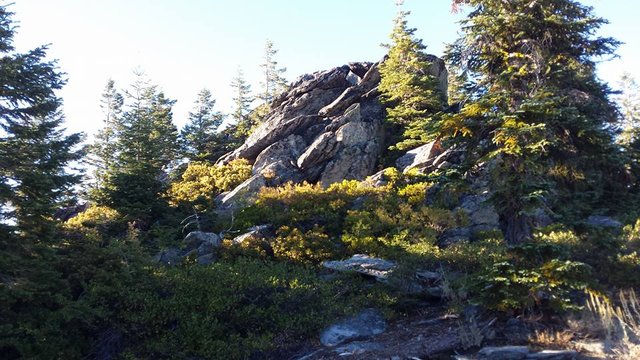
Beginning on Forest Road 22, the trail crosses a small timber sale unit before following an abandoned roadbed for 1.2 miles to the edge of the massive 1983 Sheep Creek Slide. After crossing the slide, the old road gives way to a trail that climbs steeply for about 2 miles to Wagner Glade Gap, passing through old growth stands of Douglas, Noble and white fir. Deer and bear are frequently sighted within the glade area. From Wagner Glade the trail turns sharply to the left (a trail also continues straight ahead into the Ashland Watershed - this is not the one you want) and gradually ascends the western flank of Wagner Butte for 2 miles, ending at a rock outcrop that used to support a lookout.
The colors captured in this picture, really shows only a portion of the vibrancy!
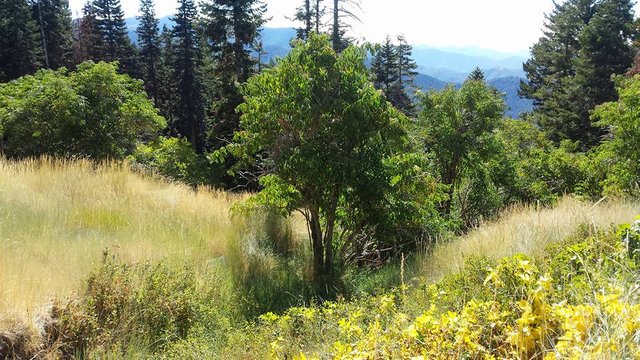
Very early point into the hike, and we got this awesome view! How many peaks do you see?
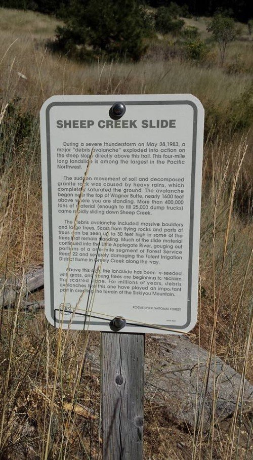
Self-explanatory sign.
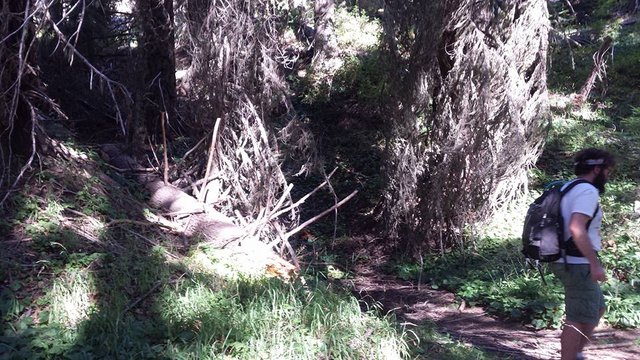
Crazy lighting at one point! My buddy Matt is also seen doing Mattly things.
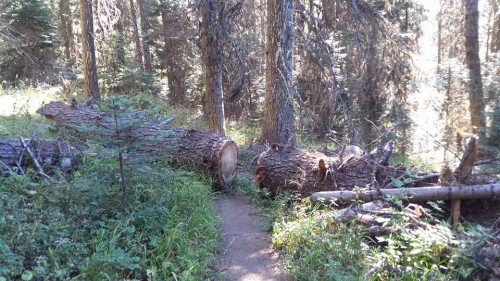
Fallen Tree along the path. I wonder what was done with the middle part of the tree...
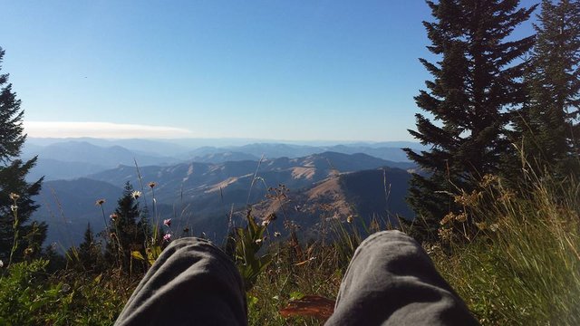
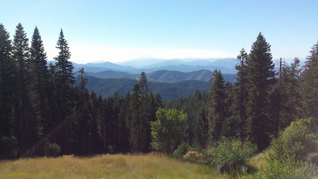
About 1 mile from the top, I caught this epic view :D