California Pacific Coastal Highway Photos
This is a condensed photo tour of sites along the Pacific Coastal Highway in California. This is a very scenic drive and great way to see the beauty of California without getting into the cities. This photo set goes from San Francisco to San Diego.
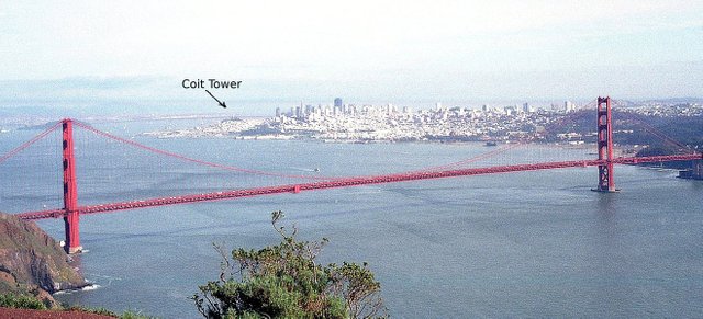
San Francisco from Golden Gate National Recreation Area
http://kimbriggs.com/photo/california-pacific-coastal-highway/san-francisco
The first photo is taken from the Golden Gate National Recreation Area on the north side of the bridge. It is part of a huge green-space with ocean frontage. If you want to see downtown San Francisco, the best vantage point is Coit Tower, which is near the tourist-friendly Fisherman’s Wharf area (and Ghiradelli chocolate). The next two sites are fairly close to one another on the trip: the city of Monterey and Pebble Beach area.
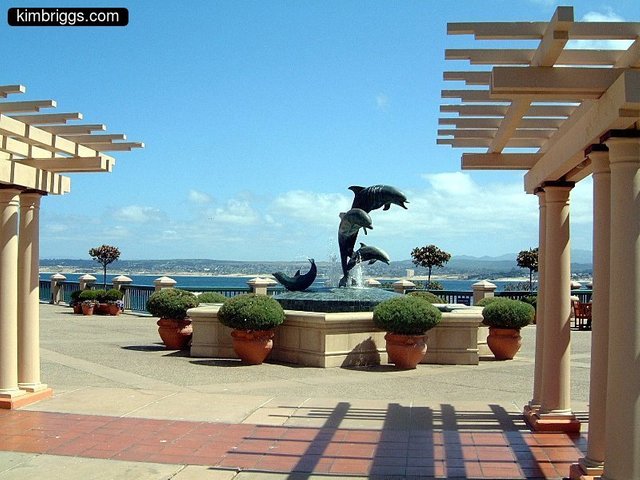
Monterey California
http://kimbriggs.com/photo/california-pacific-coastal-highway/monterey
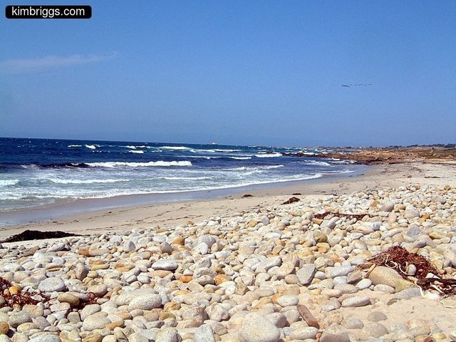
Pebble Beach on the "17 Mile Drive"
Monterey used to be a real fishing town, but the fish canning building is now a mall. There is a very nice aquarium and beautiful park on the ocean. The “17 Mile Drive” space is some unique real estate setup and I had to pay a small fee to drive it. It is a very scenic drive and you end up at Pebble Beach near the famous golf course.
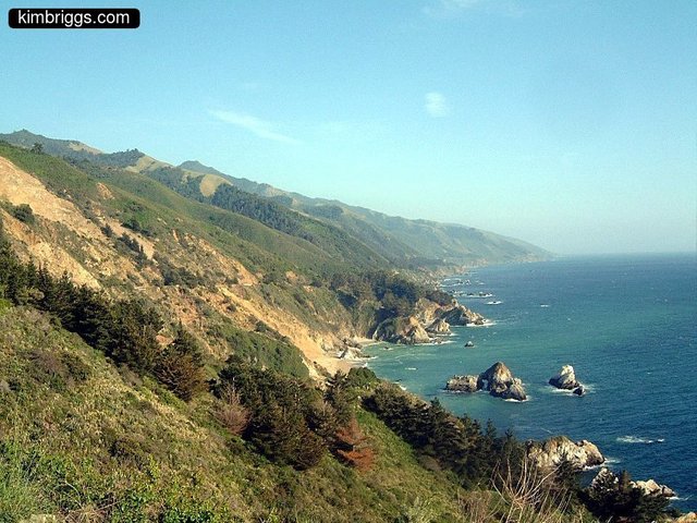
California Pacific Coastal Highway
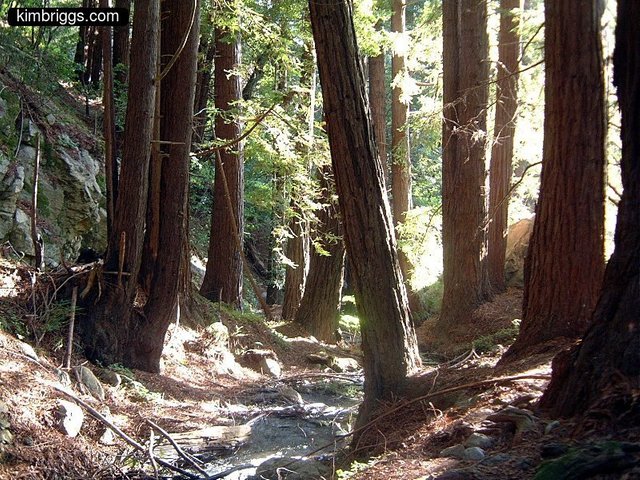
Julia Pfeiffer Burns State Park
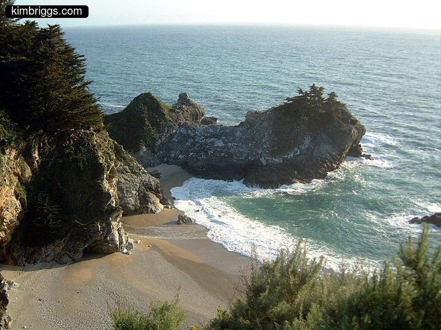
California Coastline near Big Sur
The next stretch of coastline (above 3 pics) is probably what the PCH is most famous for. The Bixby Bridge (top banner photo) is in this section. The road winds along cliffs directly on the ocean with long views up and down the coast. Big Sur and Julia Pfeiffer Burns parks and campgrounds are found here, though there aren’t many hotels.
http://kimbriggs.com/photo/california-pacific-coastal-highway/julia-pfeiffer-burns-state-park
I made the trip in two days of casual driving and stopped after the parks. As you head south from here, the hills on the coast become less dramatic but it is still a nice drive along the coast. The next two stops I chose were Refugio Beach state park and the Santa Barbara Botanical Gardens.
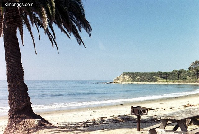
Refugio Beach State Park, Golatta
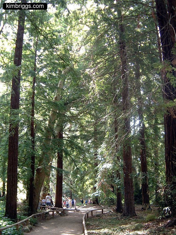
Santa Barbara Botanical Gardens
Soon, you will start to get to the more crowded areas near Los Angeles. The beaches of Malibu were the last suburban part of the road before getting to LA. The two pictures below are from Malibu and Redondo Beach in Los Angeles.
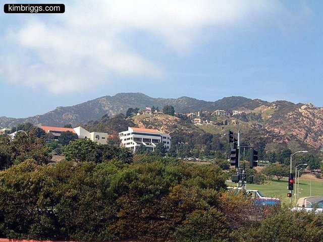
Malibu, California
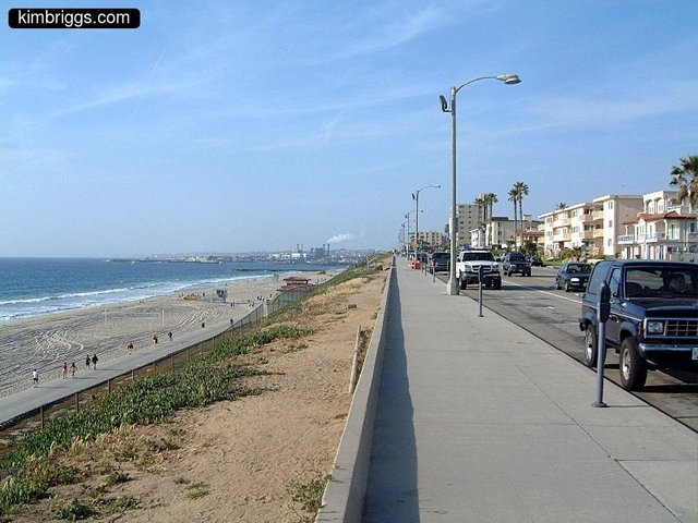
Redondo Beach, Los Angeles, CA
The official “Pacific Coastal Highway” seems to end where CA State Route 1 intersects with Interstate 5. I say if you’ve made a trip this far down the coast, I’d rather be in San Diego than LA. I have a photo from the Marina Park, but there are a number of smaller beaches and neighborhoods in San Diego: La Jolla, the zoo, Balboa Park, etc. Enjoy!
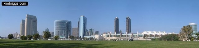
San Diego Marina Park, CA
Complete set of photos here:
http://kimbriggs.com/photo/california-pacific-coastal-highway